Chautauqua Trail via 6th Street Connector
View Photos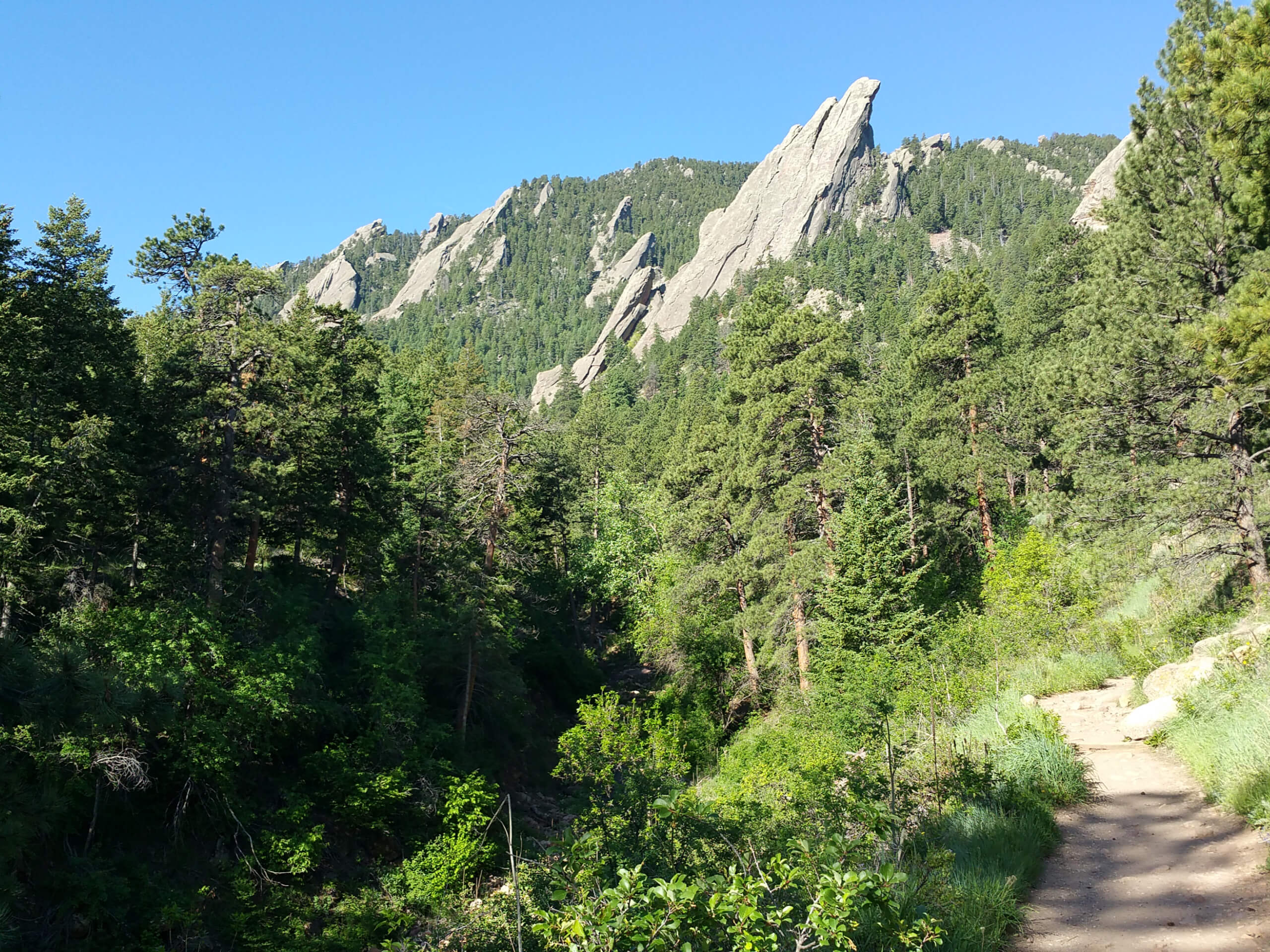
Chautauqua Trail via 6th Street Connector
Difficulty Rating:
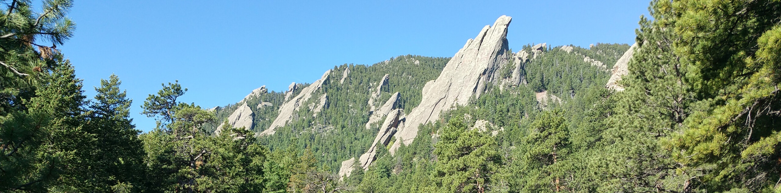
The Chautauqua Trail via 6th Street Connector is an epic excursion reserved for intrepid adventurers who don’t mind getting their hands dirty. Hike through luxuriant grasslands that reveal up-close and personal views of the Flatirons looming above before hiking into the ponderosa pine forests and up to the sandstone slabs that so famously represent the city of Boulder.
Getting there
The Chautauqua Trail via 6th Street Connector is accessed via the trailhead off Baseline Road.

About
| Backcountry Campground | No |
| When to do | Year-round |
| Pets allowed | Yes - On Leash |
| Family friendly | No |
| Route Signage | Average |
| Crowd Levels | High |
| Route Type | Out and back |
Chautauqua Trail via 6th Street Connector
Elevation Graph
Weather
Chautauqua Trail via 6th Street Connector Description
Put your endurance to the test along the Chautauqua Trail via 6th Street Connector. Short but steep, this path has the ideal ratio of scenery and strenuity. Pack plenty of water and wear layers as insurance against the chilly terrain at higher altitudes. So conveniently located just outside the city center, this revered path is frequented by tourists and locals alike. If you are seeking a more secluded expedition, head out into the wilderness on an early weekday morning to beat the crowds. Additionally, when hiking in the winter months, crampons are a lifesaver.
Embark on your journey along the Chautauqua Trail via 6th Street Connector from the trailhead off Baseline Road. Here, track the 6th Street Connector down to the intersection with the Chautauqua Trail. Here, take a hard left along the Chautauqua Trail which wanders through grasslands, revealing wonderful views of the sandstone slabs above. Follow this route all the way to the trail’s end where you will take the rightmost Flatirons Loop Trail. Shortly after tracking this path, you will be confronted with another junction, here stay left and you will be diverted onto 1st/2nd Flatiron Trail.
This route will ping-pong hikers off the craggy cliffs of the sandstone slabs before arriving at the peak. Scramble up the vertiginous terrain and from the overlook, enjoy expansive vistas of the Boulder cityscape below. After reveling in the expansive vistas, retrace your footing along the route all the way back to the trailhead, marking the end of your adventure.
Similar hikes to the Chautauqua Trail via 6th Street Connector hike

NCAR to Fern Canyon Hike
The NCAR to Fern Canyon Hike is an awesome but challenging adventure up to the summit of Nebel Horn. Put…

Bear and South Boulder Peaks Loop
Looking for a demanding but rewarding hike near Boulder? We’ve got you covered. The Bear and South Boulder Peaks Hike…

Rattlesnake Gulch Trail
The Rattlesnake Gulch Trail is an epic adventure through the Eldorado Canyon State Park. Ascend the steep cliffs of Eldorado…
Comments