Bluebell Baird to 3rd Flatiron Loop Trail
View Photos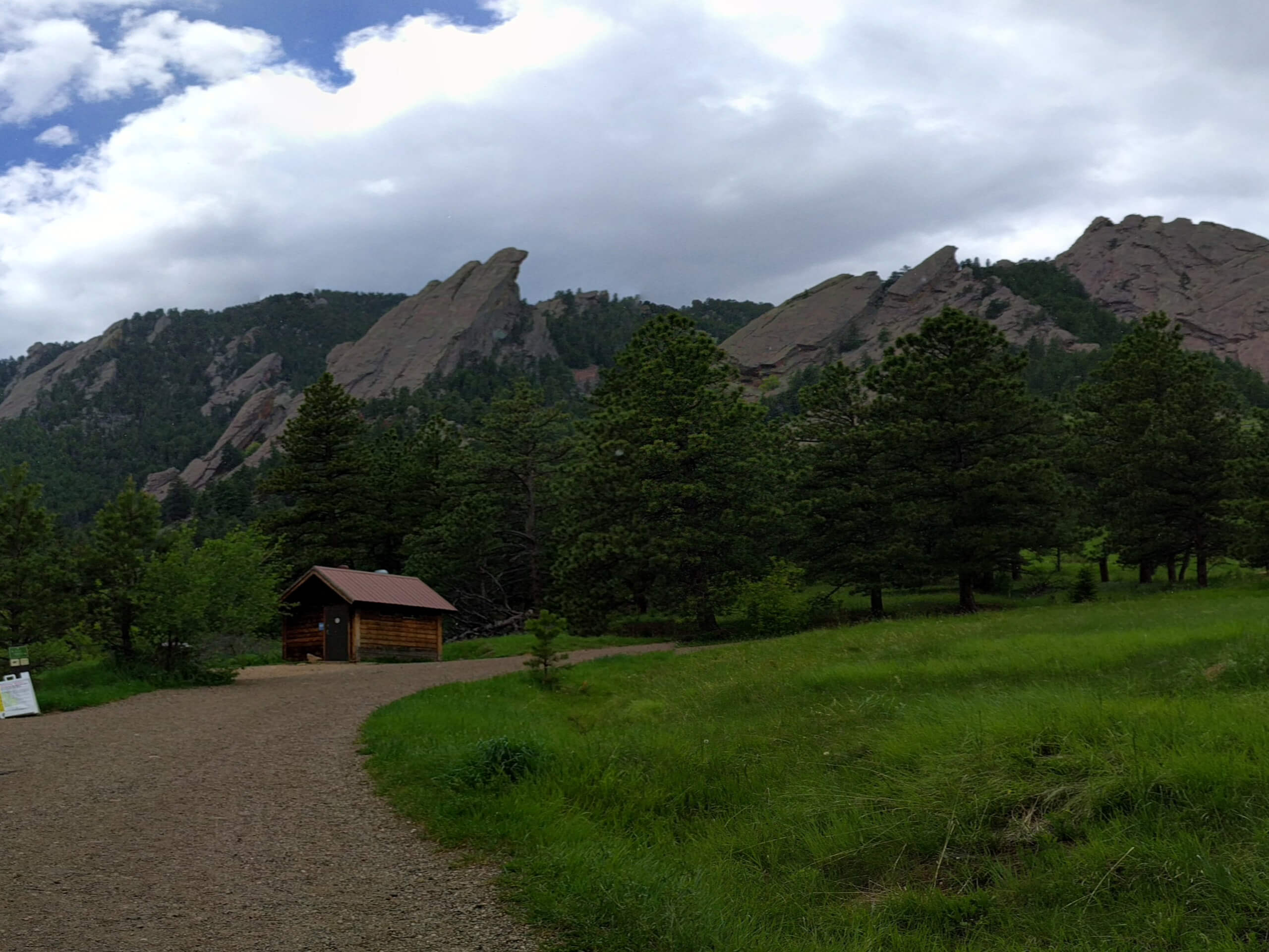
Bluebell Baird to 3rd Flatiron Loop Trail
Difficulty Rating:
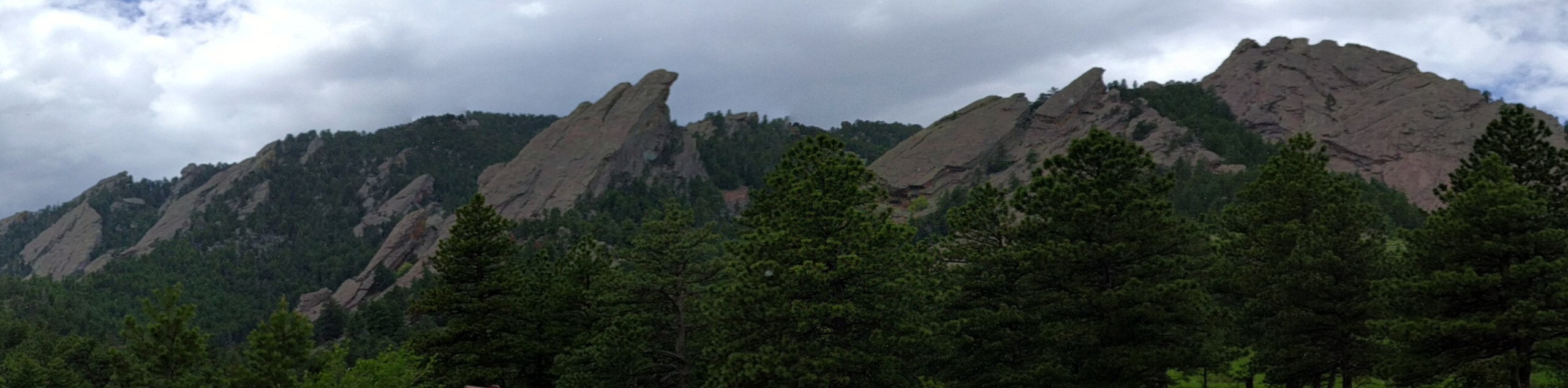
Get outside of your comfort zone and venture the Bluebell Baird to 3rd Flatiron Loop Trail, an exciting adventure through the Boulder Open Space. Trek along the base of Boulder’s famous landmarks before scrambling up to the summit of the 3rd Flatiron.
Getting there
The Bluebell Baird to 3rd Flatiron Loop Trail departs from the Bluebell Baird Trailhead off Gregory Canyon Road.

About
| Backcountry Campground | No |
| When to do | Year-round |
| Pets allowed | Yes - On Leash |
| Family friendly | Older Children only |
| Route Signage | Average |
| Crowd Levels | High |
| Route Type | Lollipop |
Bluebell Baird to 3rd Flatiron Loop Trail
Elevation Graph
Weather
Bluebell Baird to 3rd Flatiron Loop Trail Description
Challenge yourself and put your endurance to the test as you trek the Bluebell Baird to 3rd Flatiron Loop Trail. It is one thing to simply appreciate the grandeur of Boulder’s Flatirons, and it is another to hike up into the sandstone blades. The initial segment of the hike delivers epic views of the looming rocks, and the rearmost section requires hikers to scramble up the sandstone ridges with the help of a rope railing up to overlook. Reserved for intrepid enthusiasts, this trek demands stamina and an adventurous spirit. When hiking in the late fall or winter months be sure to strap on some microspikes to navigate the likely icy terrain more easily.
Embark on your adventure along the Bluebell Baird to 3rd Flatiron Loop from the trailhead off Gregory Canyon Road. From here, track the Bluebell Baird Trail southeast. Initially hiking through grasslands that warrant epic views, the trail will quickly divert explorers beneath the shade of sweet-smelling ponderosa pines. Continue along this path until you meet an intersection with the Flatirons Loop Trail. From here, keep right and the Flatirons Loop Trail will guide you up the steep, and increasingly rocky terrain. At the next junction, keep right and track the 3rd Flatiron Trail up to the sandstone slabs overlook.
Use the rope to help climb up the vertiginous terrain and mind your footing on the way down. When you are through reveling in the scenery, retrace your footing back to the intersection. Here, turn right onto the Flatirons Loop Trail and then onto the Royal Arch Trail. Soon you will encounter the Bluebell Shelter. At this point, you will want to reconnect with the Bluebell Baird Trail, which will guide you all the way back to the trailhead.
Similar hikes to the Bluebell Baird to 3rd Flatiron Loop Trail hike

NCAR to Fern Canyon Hike
The NCAR to Fern Canyon Hike is an awesome but challenging adventure up to the summit of Nebel Horn. Put…
Bear and South Boulder Peaks Loop
Looking for a demanding but rewarding hike near Boulder? We’ve got you covered. The Bear and South Boulder Peaks Hike…

Rattlesnake Gulch Trail
The Rattlesnake Gulch Trail is an epic adventure through the Eldorado Canyon State Park. Ascend the steep cliffs of Eldorado…
Comments