Bluebell Mesa Trail
View Photos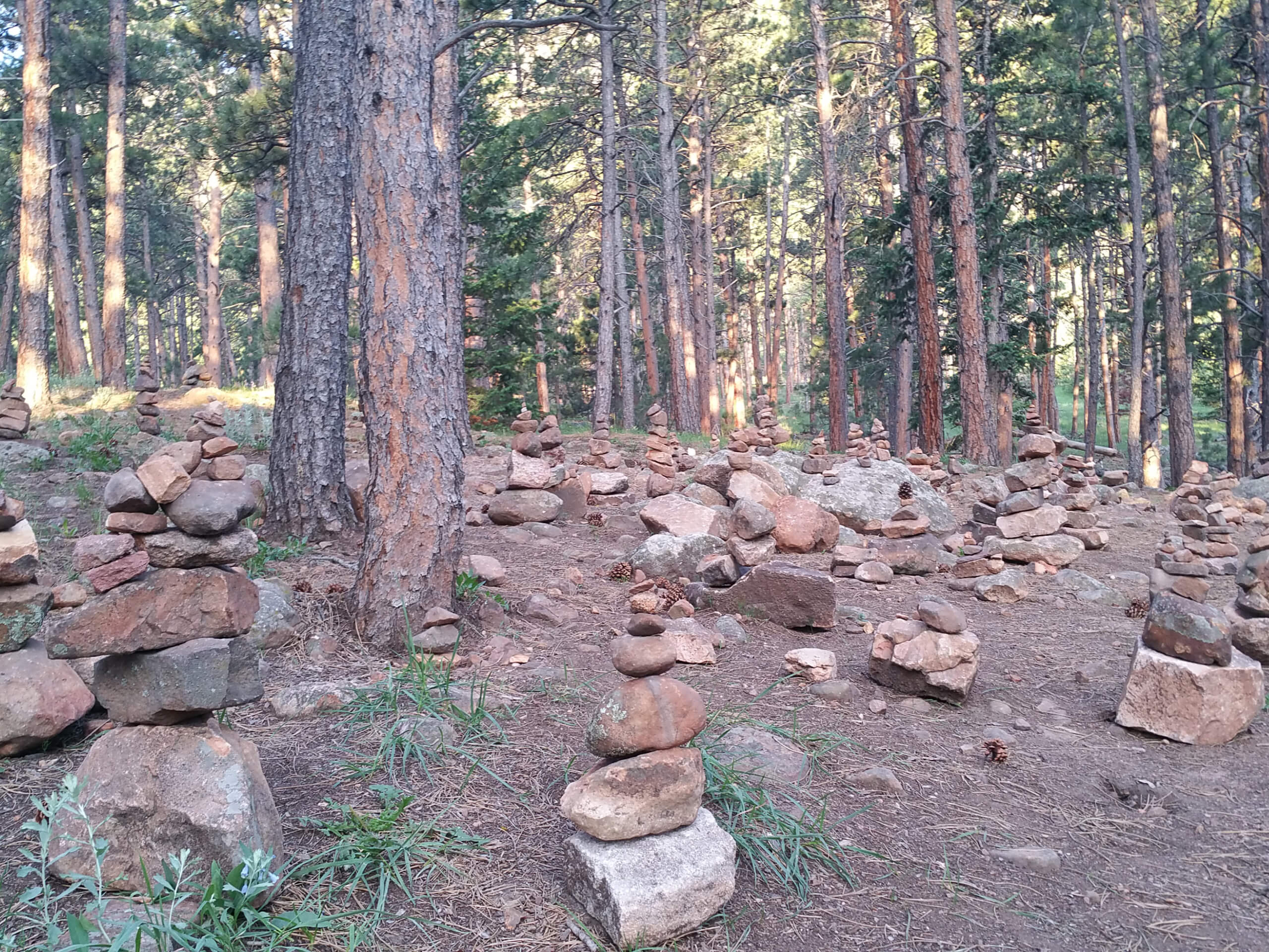
Bluebell Mesa Trail
Difficulty Rating:
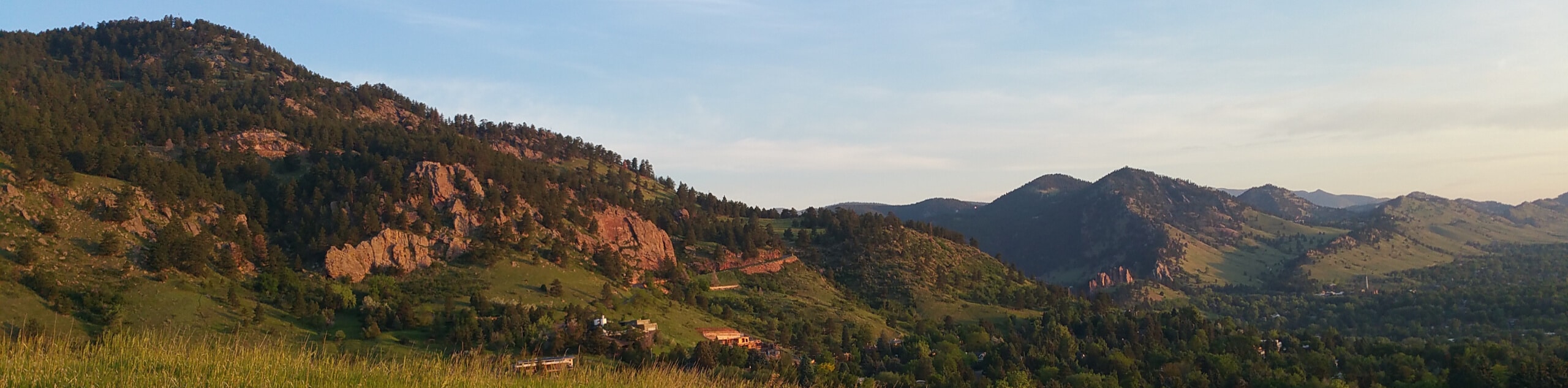
The Bluebell Mesa Trail is a family-friendly day hike located just outside of Boulder’s city center. Conveniently situated and incredibly scenic, this path is highly revered. Travel amongst locals and tourists alike as you wander through the meadowlands along the foot of Boulder’s famous landmark—the Flatirons.
Getting there
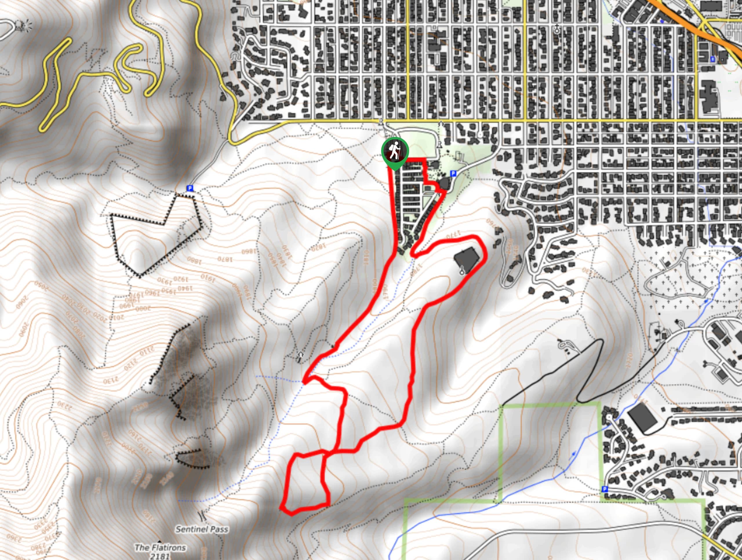
The Bluebell Mesa Trail departs from the trailhead off Kinnikinnick Road.

About
| Backcountry Campground | No |
| When to do | Year-round |
| Pets allowed | Yes - On Leash |
| Family friendly | Yes |
| Route Signage | Average |
| Crowd Levels | Extreme |
| Route Type | Circuit |
Bluebell Mesa Trail
Elevation Graph
Weather
Bluebell Mesa Trail Description
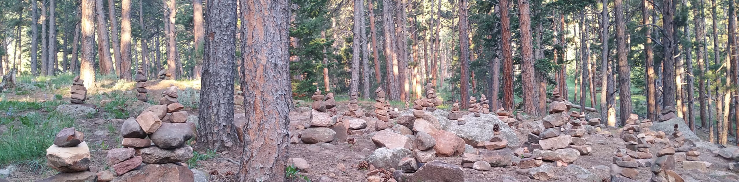
The Bluebell Mesa Trail is a crowd favorite, and rightfully so. Travel through enchanted grasslands and magical ponderosa pine forests along the foothills. Delivering epic views of the Flatirons and neighboring peaks, this route is undeniably picturesque. Escape the busyness of the city and reconnect with nature along this relaxing trail. Perfect for a family day hike or quick lunch break walk, the Bluebell Mesa Trail exhibits the beauty of the wilderness so close to the city’s center. Note that this is a highly trafficked adventure, so expect to share the trail with fellow outdoor enthusiasts. If you hope to park in Chautauqua Park, it is best to arrive early as parking is extremely limited and costly in the summer months. We suggest arriving early or walking from the city.
Departing from the trailhead, track south along the Bluebell Hiking Trail. This path traverses through exposed grasslands which in turn reveals stunning views of the sandstone slabs towering above. Hike along this route until you confront an intersection. Here, keep right and track the Blue Bell Road Trail through the woodlands to the Bluebell Shelter. This is a great place to rest and rehydrate. From here, turn onto the Bluebell Baird Trail before merging onto the Bluebell Mesa Trail.
Follow this path northeast through the sparse coverage of evergreen trees, and it will eventually deliver you back to the meadowlands. Soon, you will encounter another junction, keep right and you will be diverted onto the Chautauqua Trail. Hike this path all the way back to the trailhead, marking the end of your hike.
Similar hikes to the Bluebell Mesa Trail hike

Crown Rock Trail
The Crown Rock Trail is a short but sweet nature walk that presents the perfect excuse to get the family…
Chautauqua, Bluebell and Baird Trail
Immerse yourself into nature and get some fresh air along the Chautauqua, Bluebell and Baird Trail. Conveniently located just outside…
Bluebell, Woods Quarry, and Enchanted Mesa Loop
The Bluebell, Woods Quarry and Enchanted Mesa Loop is a charming nature walk in the Boulder Open Space. Conveniently located…
Comments