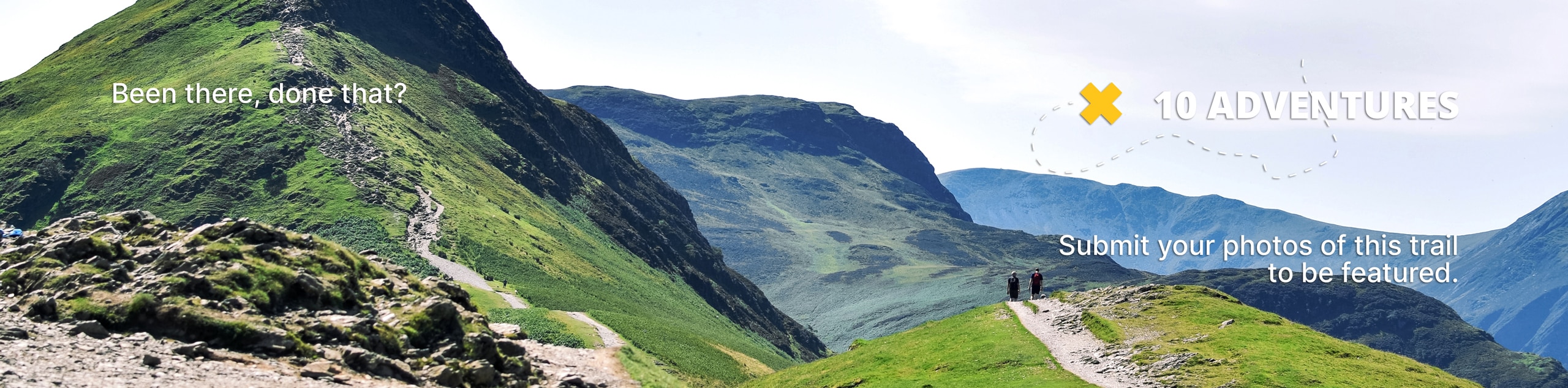
Sweet Connie Trail
View Photos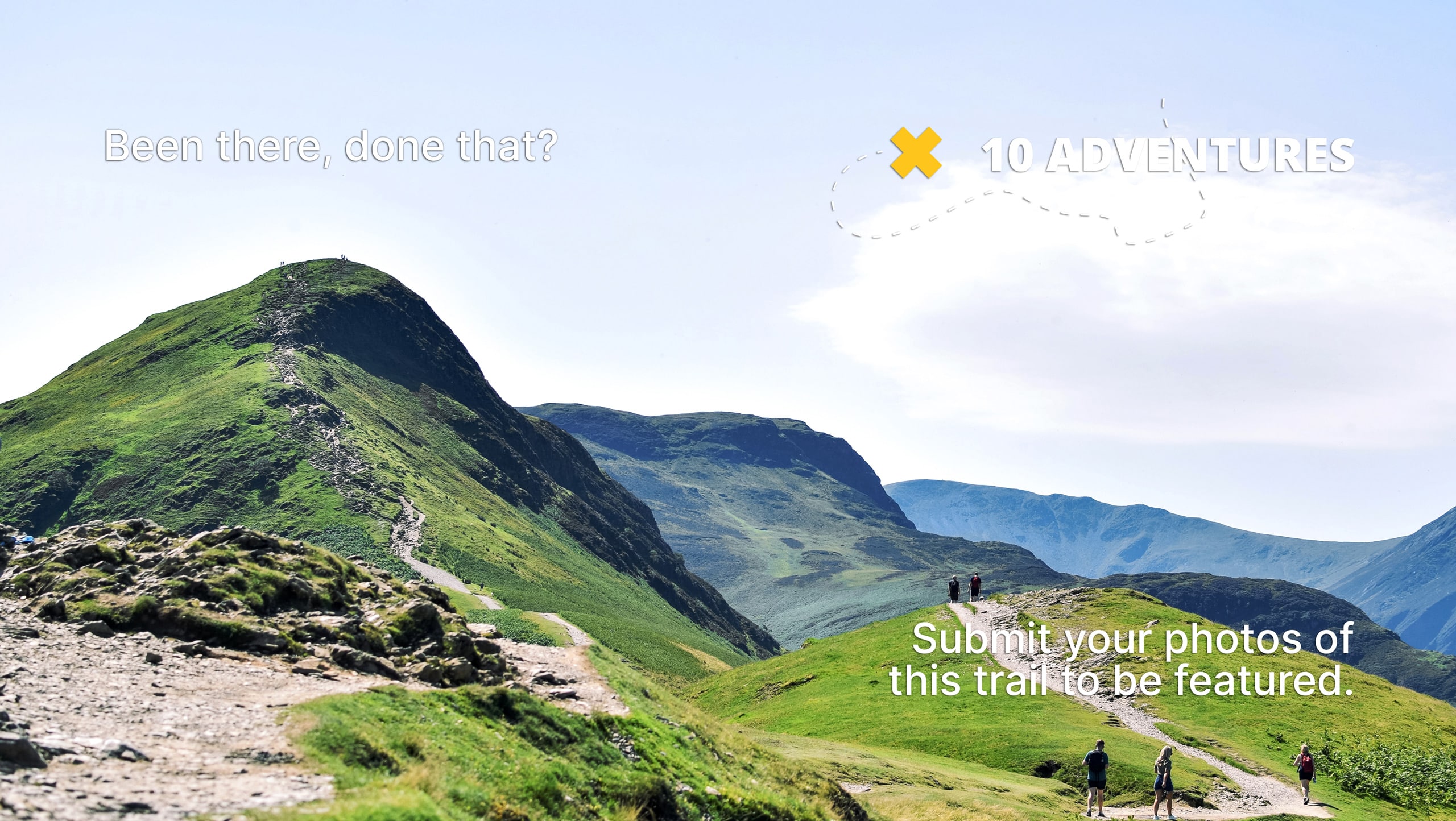
Sweet Connie Trail
Difficulty Rating:
Hiking the Sweet Connie Trail will take you uphill into the pines. This pleasant hike is one of Boise’s best-kept secrets or at least it was! Today, you will often find the trail abundant with mountain bikers and hikers exploring the hillside, delighting in the diversity of flora and fauna.
Getting there
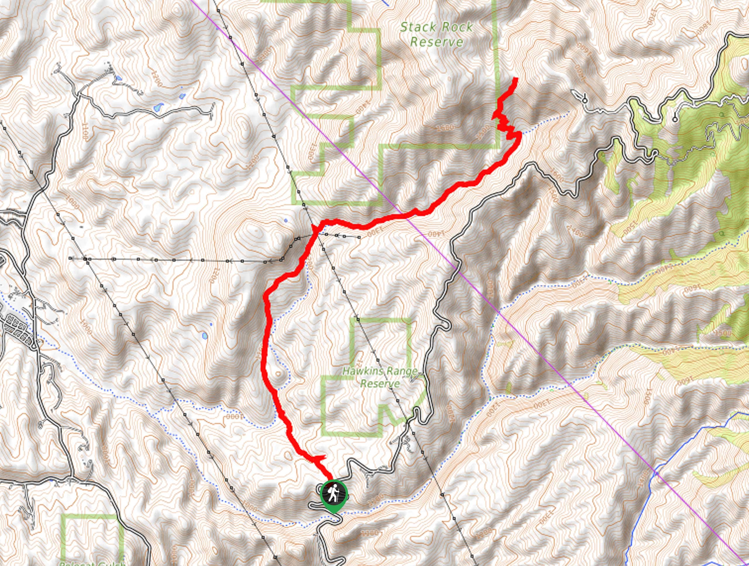
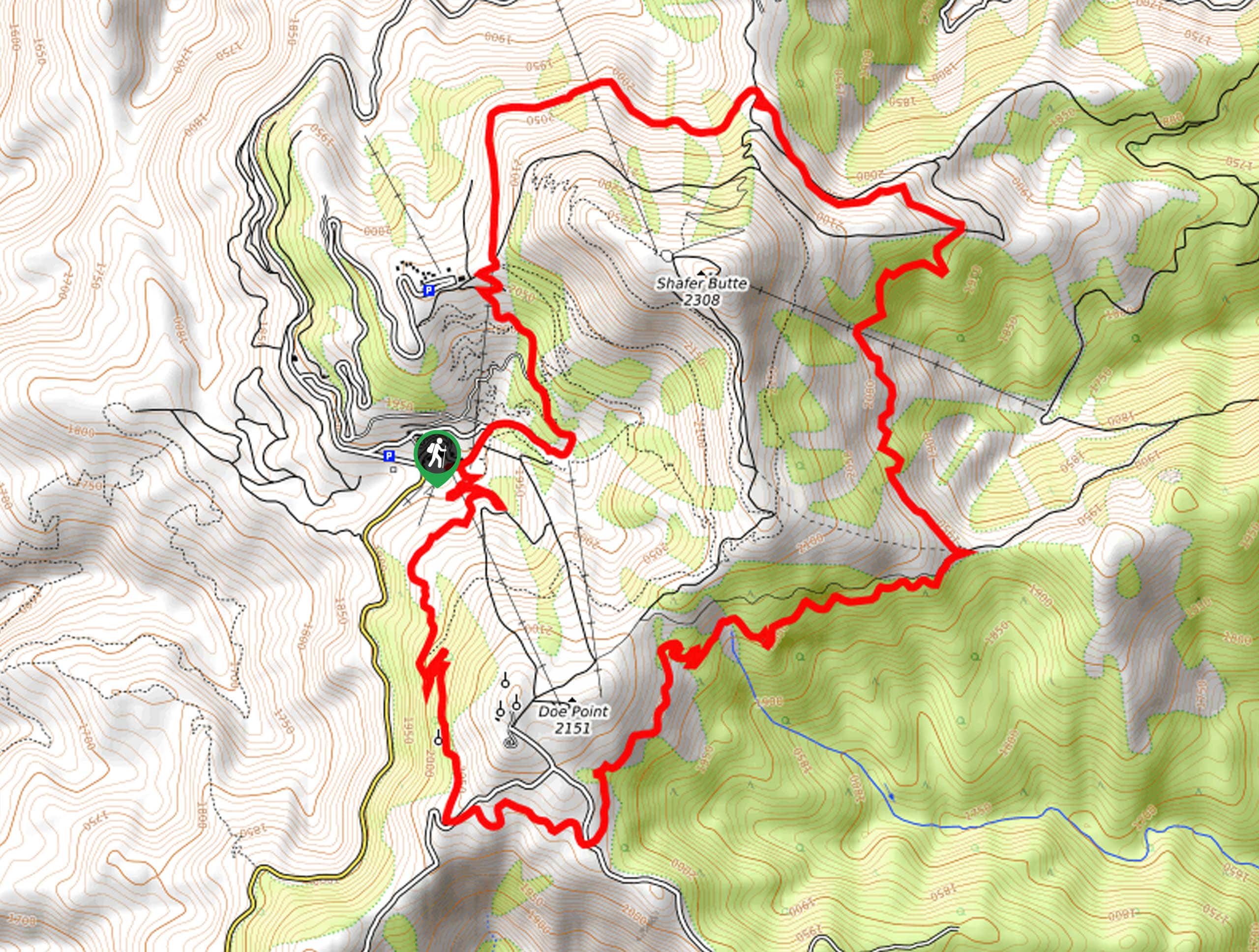
The Sweet Connie Trail is accessed via the Lower Bogus Trailhead off N Bogus Basin Road.

About
| Backcountry Campground | No |
| When to do | Year-round |
| Pets allowed | Yes - On Leash |
| Family friendly | No |
| Route Signage | Good |
| Crowd Levels | Moderate |
| Route Type | Out and back |
Sweet Connie Trail
Elevation Graph
Weather
Sweet Connie Trail Description
The Sweet Connie Trail is a lovely path that leads into the forested foothills of the Boise Mountains. While mountain bikers tend to occupy the area, this route is open and accessible to us hikers, too, so don’t be discouraged. Whether you are on foot or on wheels, it is important to be respectful of fellow adventurers also enjoying the scenic wilderness. Note that much of the path is exposed, so it is important to wear SPF and pack plenty of water when trekking in the summer as there are limited refuges from the sun.
Additionally, the arid terrain and rocky outcrops offer ideal sunbathing opportunities for snakes, including rattlers, so be sure to keep an eye and ear out as you wander. For this reason, and due to the high bike traffic, it is recommended you keep your four-legged friend on a leash at all times. Finally, we would like to alert you that the terrain becomes unstable with mud in the spring and after rainfall, so during these times, we suggest trekking another great trail in the area, like the Lucky Peak Loop Hike or to exercise caution and careful footing.
There is no hiding that we have a sweet spot for this hiking route in the Boise National Forest. The Sweet Connie Trail not only provides a great workout and incredible views of the surrounding foothills, but the path advances through several terrains and exhibits a diversity of flora. Hike through communities of sagebrush, open meadows, alongside a meandering creek, and through granite outcrops.
Though this route is open and accessible year-round, spring and summer exploration is our favorite, even in the heat. This is because the landscape blossoms with vibrant wildflowers, including Oregon checker mallow, taper tip onion, white-tip clover, and cliff ferns. Even if you are not a flower aficionado, the scene of the flowering meadows is simply divine. No matter the season, this marvelous hike will not disappoint.
With plenty of water in tow, your adventure along the Sweet Connie Trail begins from the Lower Bogus Trailhead. Setting out from here, the path heads northwestward through pasture land of lush grass and shrubs. Gently descending towards Daniels Creek, you will shortly confront an intersection, keep right, and the Sweet Connie Trail will cross the lazy-moving creek and begin climbing up the hillside. Here you will likely notice the Chukar Butte rising from the landscape in the west.
Beyond this point, the majority of the trail contours the eastern slope of Daniels Creek. Wandering through the flowering meadows and communities of brush, the creekside walk offers scenes of lush ferns and moss-covered outcrops. Enjoy the tranquility and peacefulness that the sound of the babbling water provides. Now traveling northeast, you will have to maneuver several outcrops that frame the creek bed. Note: you will pass through another junction– continue alongside the stream.
The further you ascend, the increasingly lush and forested the terrain will become. After some hiking, the path will eventually diverge from the creek, rerouting you north. Navigating several switchbacks, you will ultimately climb into the pines. Enjoy the shade of the lush canopy and rest, relax, and revel in the scenes of the meadowed range below. When you are ready to head back, simply retrace your steps all the way back to the trailhead.
Frequently Asked Questions
Is the Sweet Connie Trail a mountain biking route?
Yes, the Sweet Connie Trail is a shared route for bikers and hikers.
Where is the Sweet Connie Trailhead?
The Sweet Connie Trail departs from the Lower Bogus Trailhead off N Bogus Basin Road.
Insider Hints
Be mindful of rattlesnakes
Respect fellow adventurers using the trail
Pack plenty of water and SPF to avoid overexposure
The path is often unstable with mud in the spring and after rainfall
Keep your pup on a short lead to protect them from wildlife and speedy bikers
Similar hikes to the Sweet Connie Trail hike
Station Creek Trail
The Station Creek Trail is a hidden treasure in the Boise National Forest. This lovely path explores shaded pine forests…
Around the Mountain Hike
Enjoy a different perspective of Bogus Basin along the Around the Mountain Hike. What is a bustling ski resort in…

Kepros Mountain Trail
The Kepros Mountain Trail ascends one of Boise’s famed ‘Grand Slam Peaks’. Tempting experienced hikers and ambitious beginners, this demanding…
Comments