Col des Aravis Hike
View Photos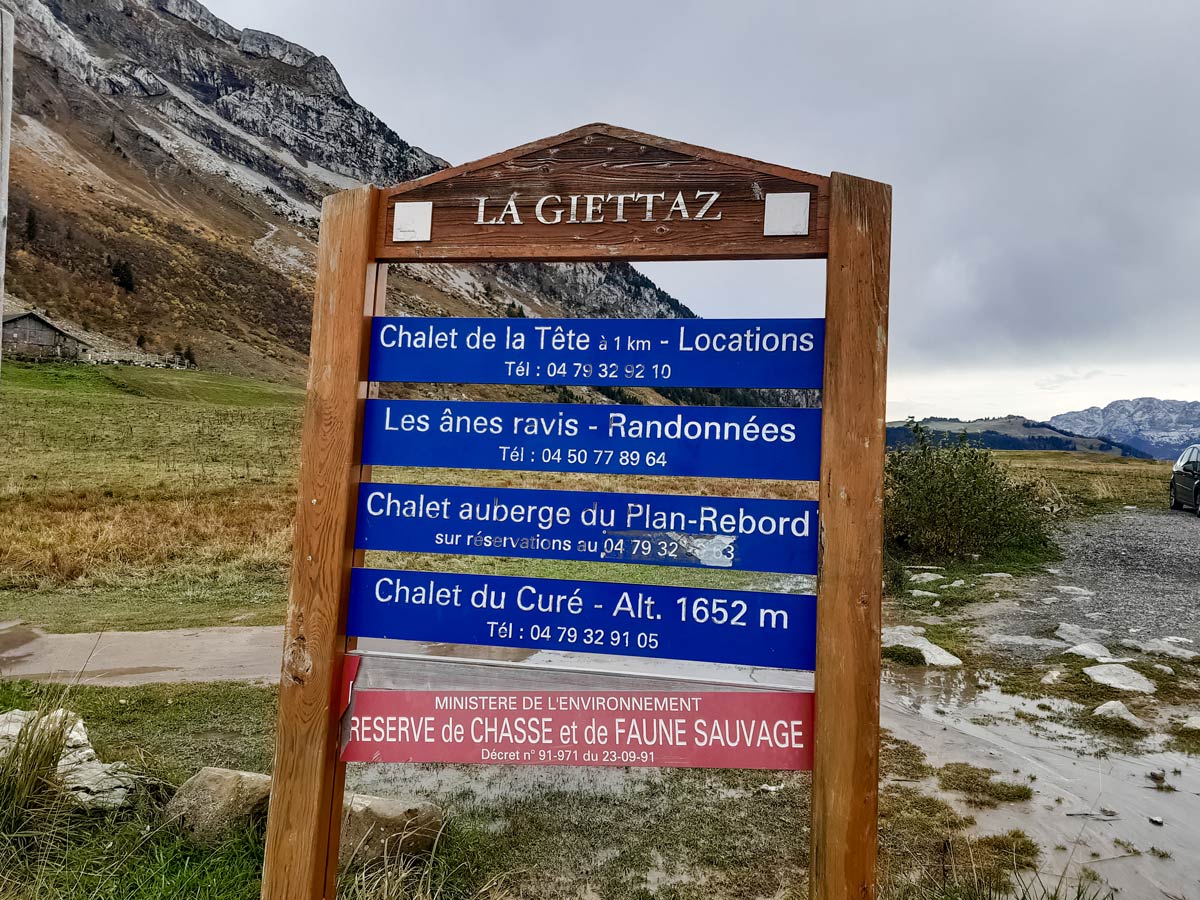
Col des Aravis Hike
Difficulty Rating:
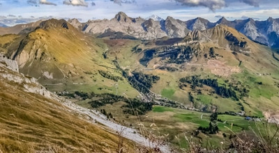
This hike overlooks the Col des Aravis, which marks the border between Savoie and Haute Savoie. The circuit, which is challenging, peels off the wide gravel track to take a steeper dirt path that eventually leads to a narrow ridge. If you have small children, it’s advisable to opt for the easier route, which doesn’t leave the wide gravel track for the entire hike, returning on the same track.
Getting there
The Col des Aravis is accessible by car, with free public parking opposite the small chapel, or by taking the A2 bus from La Clusaz during summer holidays.

About
| When to do | May - October, depending on snow |
| Backcountry Campsites | No |
| Toilets | No |
| Family friendly | Yes |
| Route Signage | Good |
| Crowd Levels | Moderate |
| Route Type | Lollipop |
Col des Aravis Hike
Elevation Graph
Weather
Route Description for Col des Aravis Hike
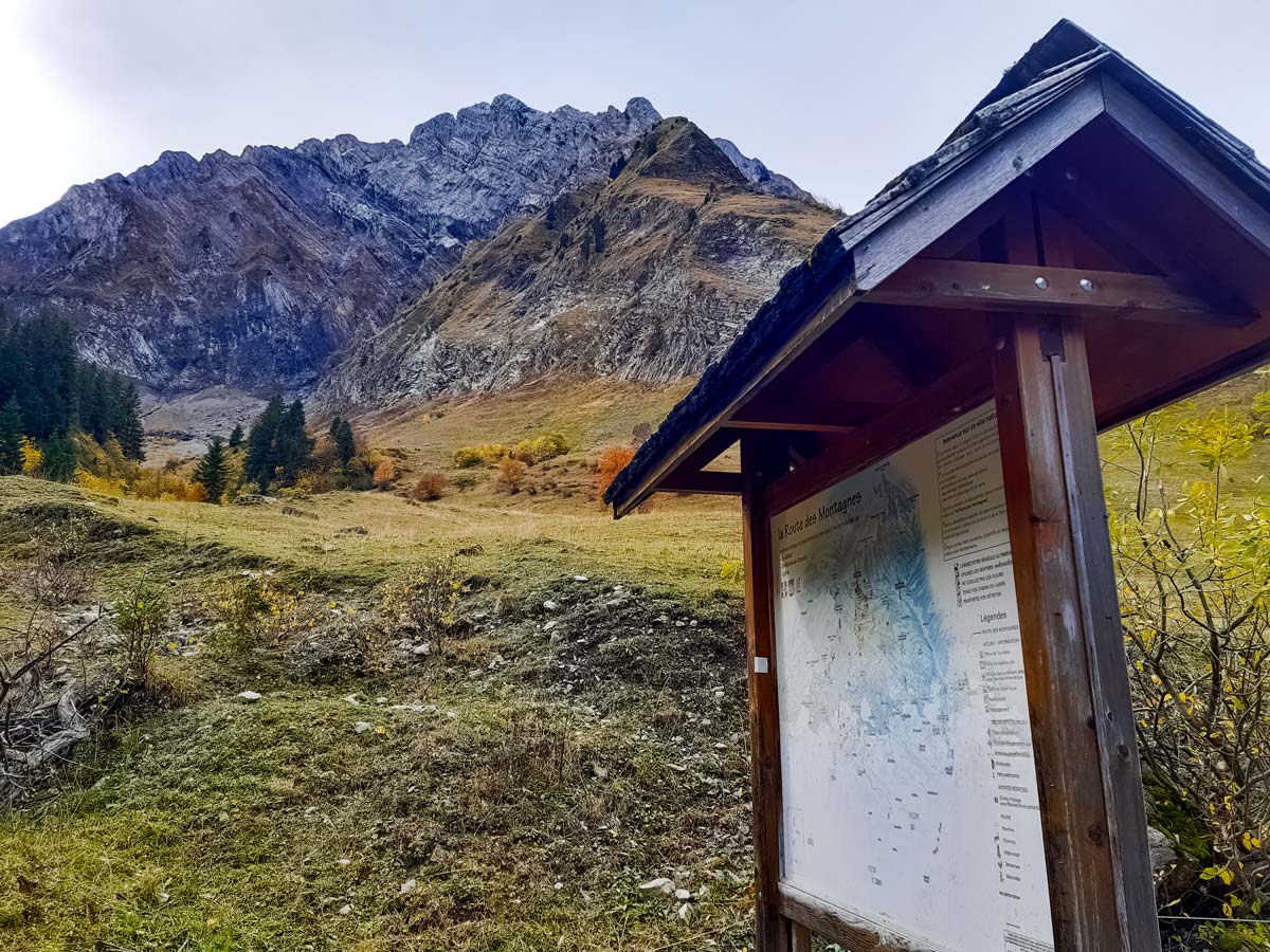
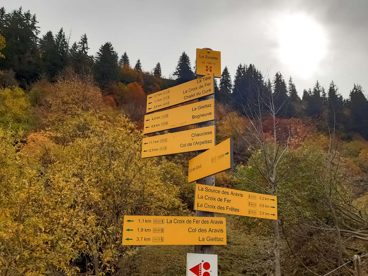
Start from the public car park opposite the small chapel at the Col des Aravis. Walk through the car park and take the wide gravel track at the back, left corner (signposted for the Chalet du Curée). After about three bends, look for the information panel with the wooden roof and the signpost next to it. Follow the directions for La Croix des Frêtes, off to the right of the wide gravel track, through a cattle gate and onto a narrower path. If you prefer the easier route, stay on the gravel track until you’re ready to turn around for the return.
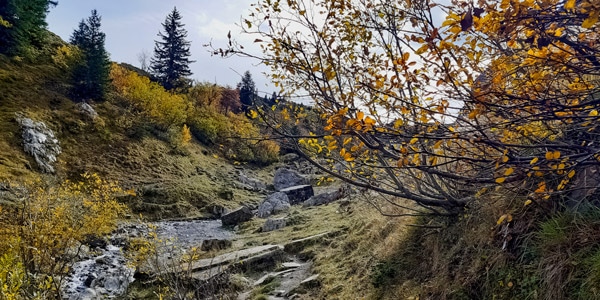
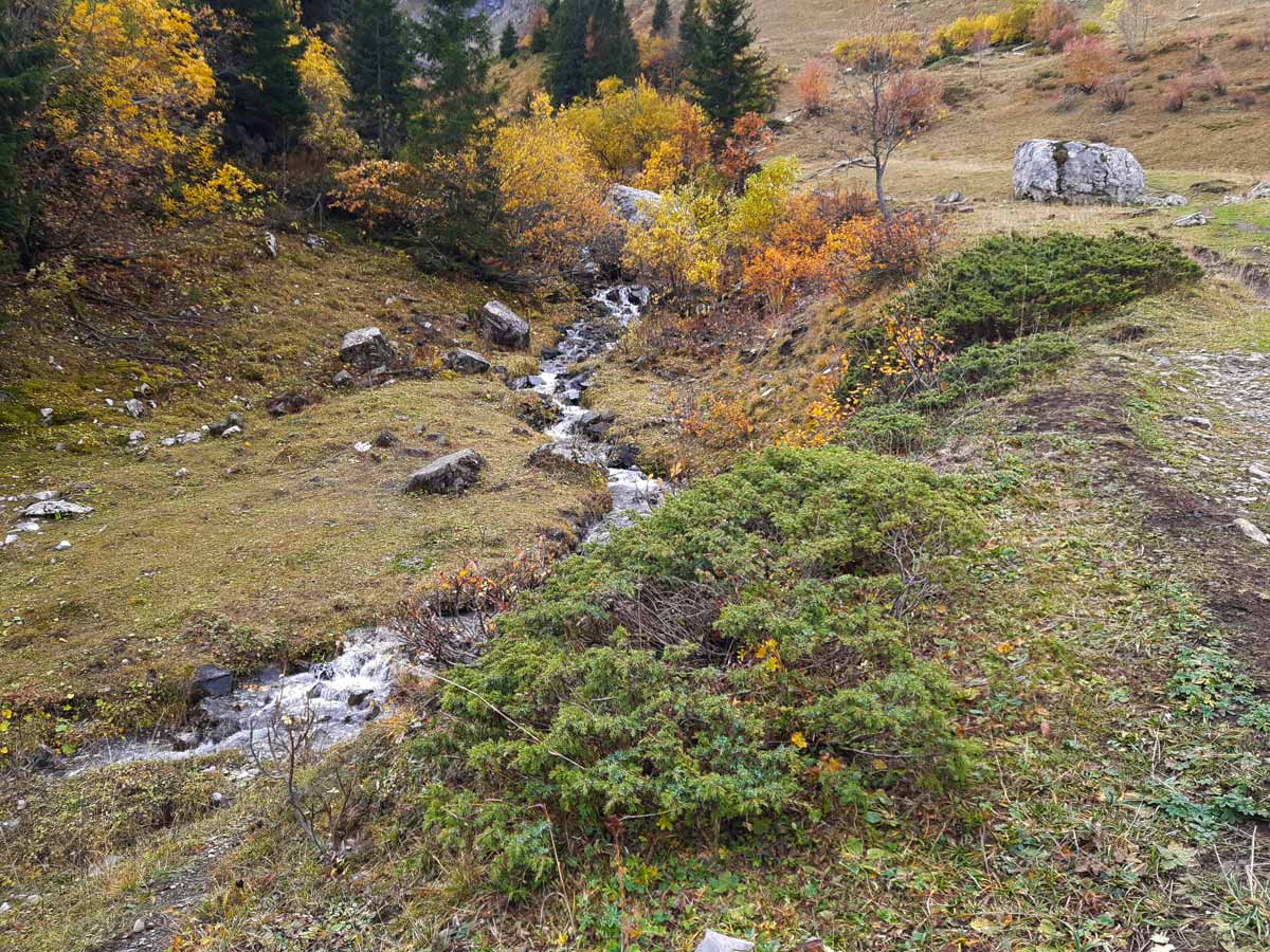
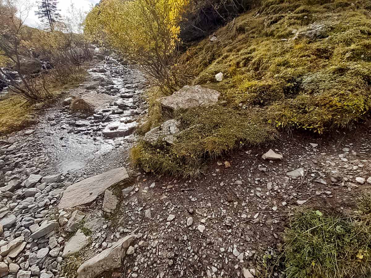
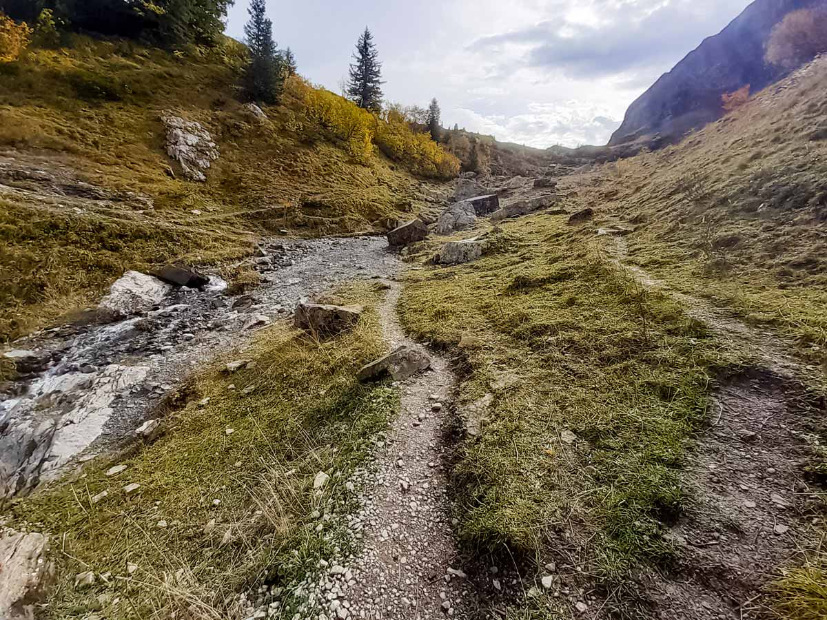
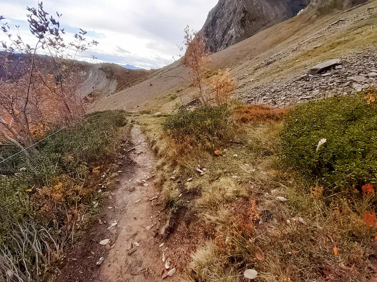
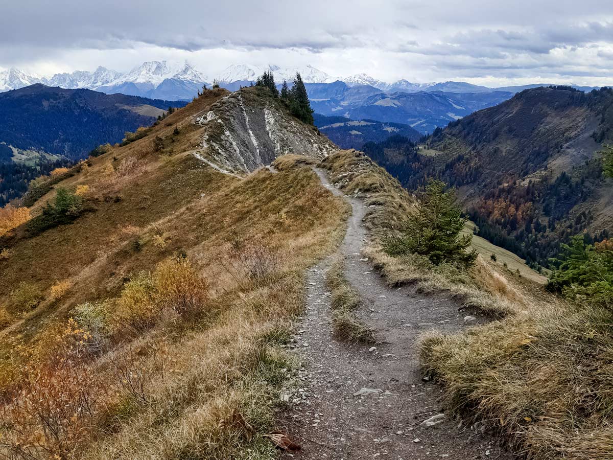
To continue with the challenging circuit, follow the narrow path along the pretty stream on the left. The track continues through sections of rock and scattered trees. There are about three paths that lead to the same trail at the top, with limited signage. This hike takes the track in the middle, so stay on the right of the river when you see the signpost on the other side of the river. It indicates where to go for the track to the left, which is elevated above the valley. There is also a track up a little further to the right which in the steeper bowl area is at a higher risk of avalanche and rock fall.
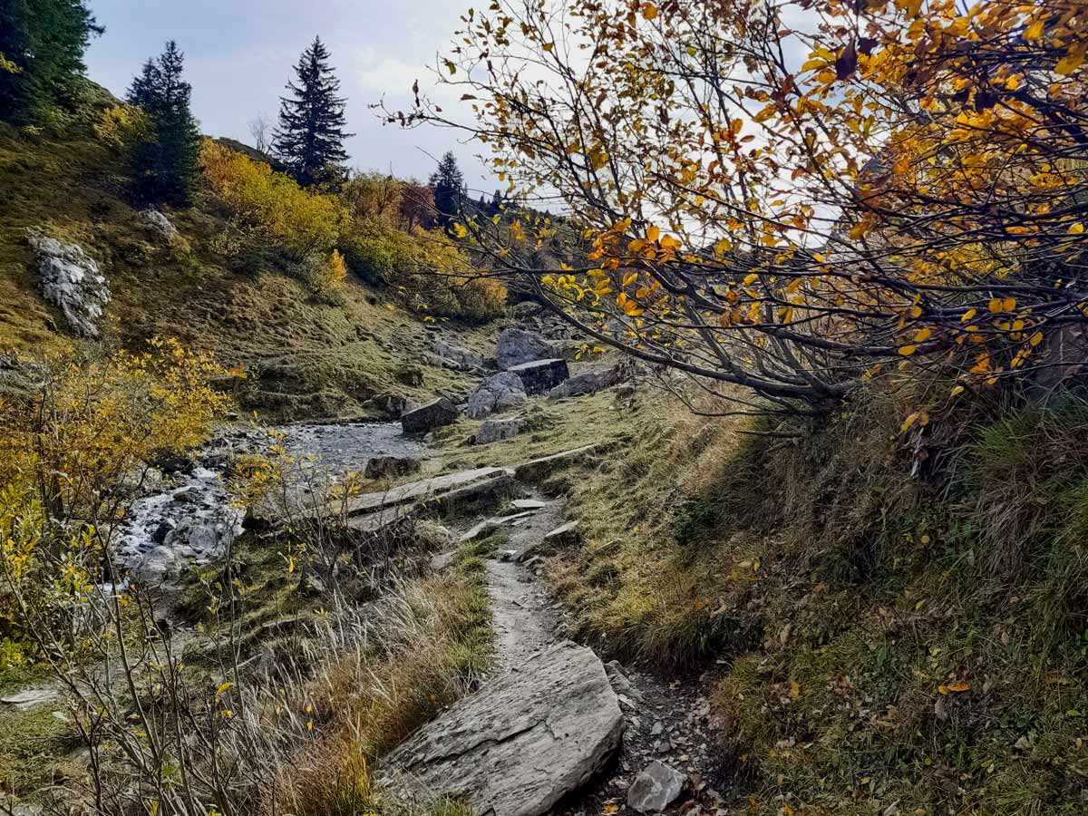
Further along the middle track, walk between giant rocks. When the track leads to an open field with streams to the left, look for the track in the distance on the left. Traverse the three streams to join the track which provides a safer route away from the rocky outcrops of the steeper bowl.
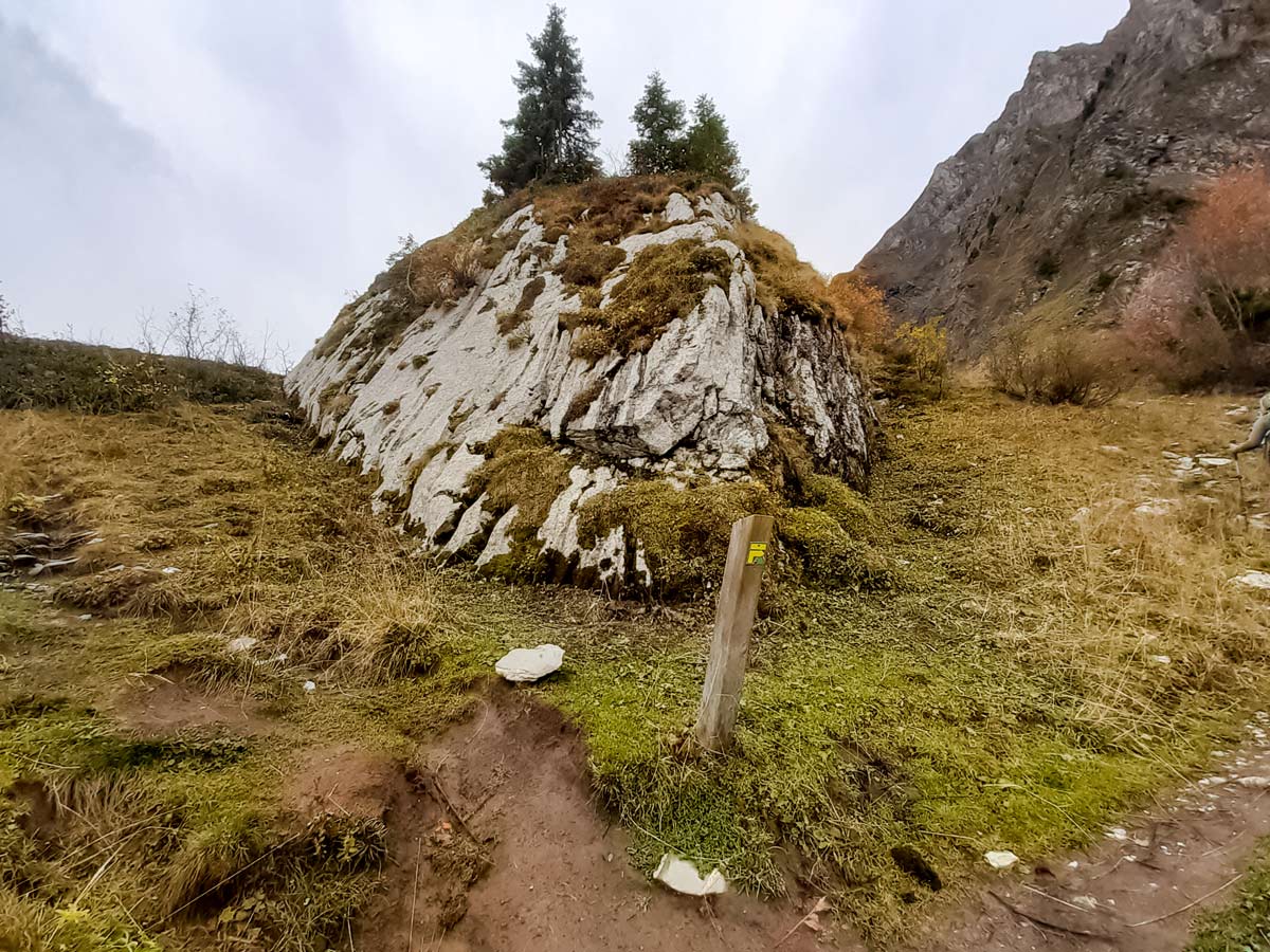
Follow the track until you reach a large white rock with a wooden post in front. The post indicates the route with an arrow to the right, so follow the track to the right of the rock until you reach the ridge overlooking the next valley to the left.
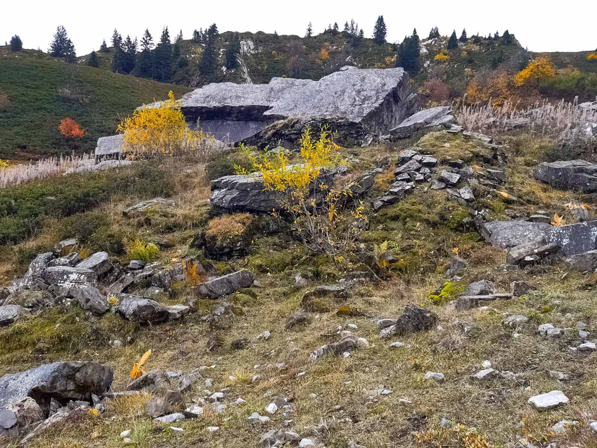
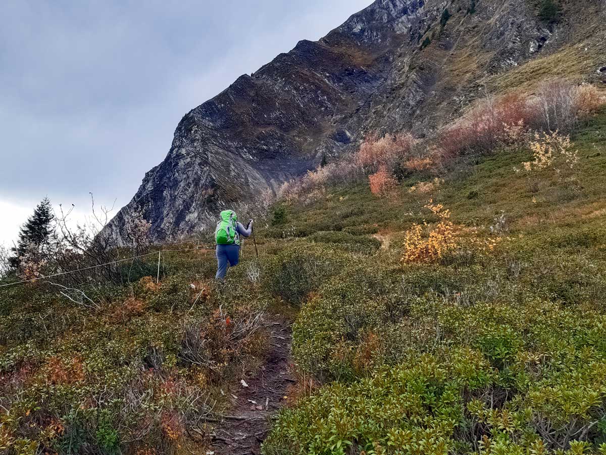
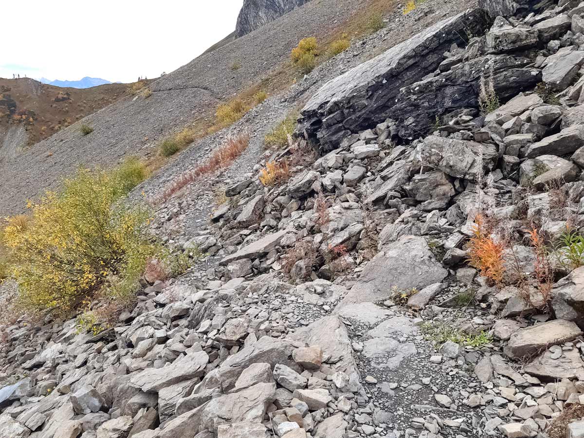
The old track is no longer safe, so avoid the rock with the yellow cross painted on it, opting instead to continue up on the well-worn dirt trail along the ridge. When the track forks, veer to the left, through fields of blueberry bushes. The track might be blocked by a temporary electric fence for cattle depending on the time of year—duck under the wire towards the rubble and deep ditch from a recent rock fall (this is the correct track).
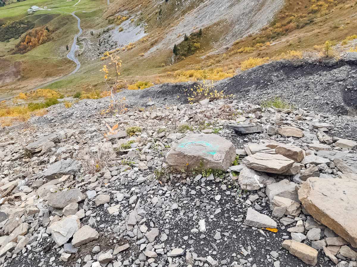
The track gets rockier and a temporary path is indicated with green arrows spray painted on rocks to avoid the ditch. Follow the temporary path down and across the ditch, then back up to the main track. The track traverses the side of the mountain until it reaches a ridge.
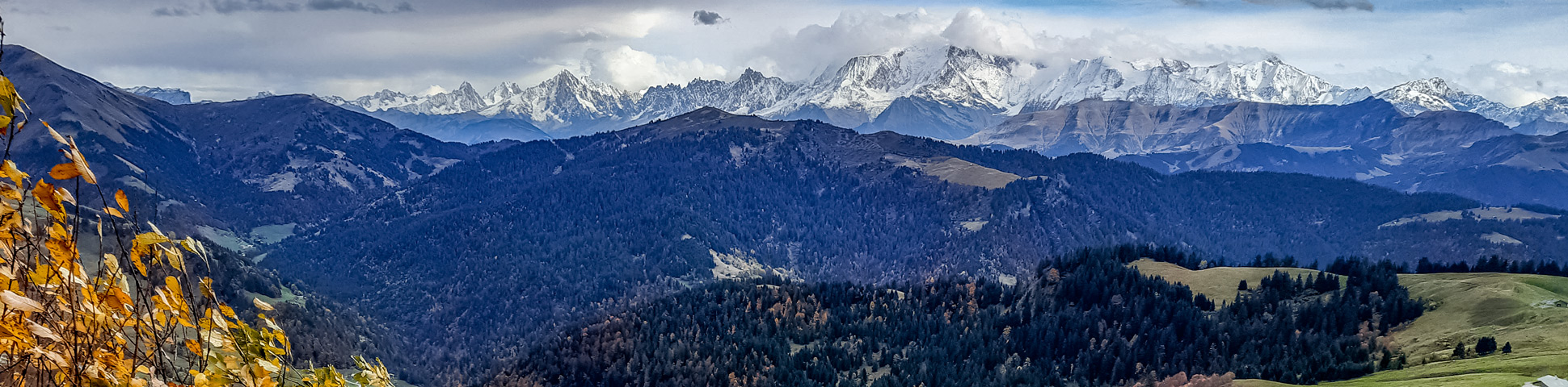
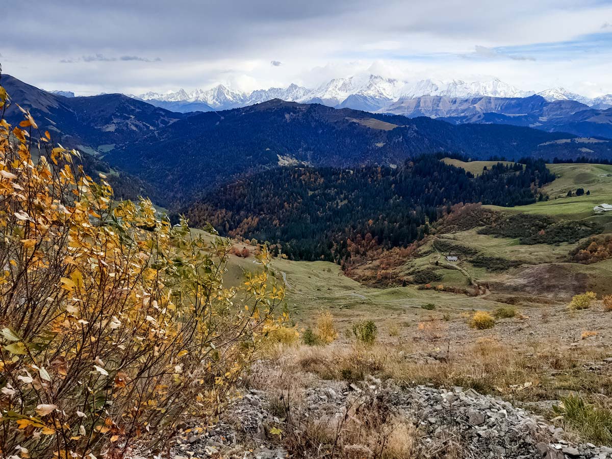
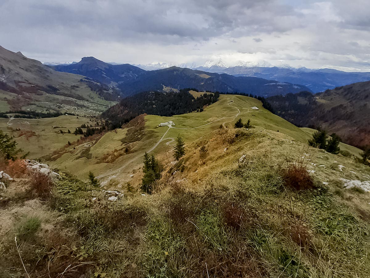
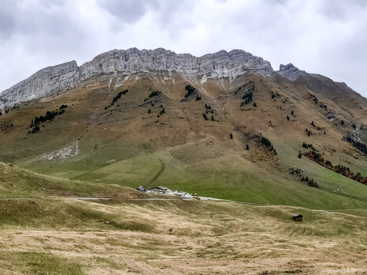
Continue along the ridge, with views into a deep valley on one side and Mont Blanc looming large on the other. After a short incline, the ridge broadens for an easy walk down and back to the wide gravel road below.
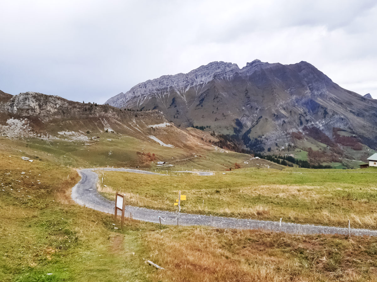
At the gravel road, turn left, following signs to the Col des Aravis. This road leads back to the car park, with a restaurant and a lookout point along the way.
Insider Hints
If you do this hike in spring, make sure you check that the snow has melted enough to not need snow shoes.
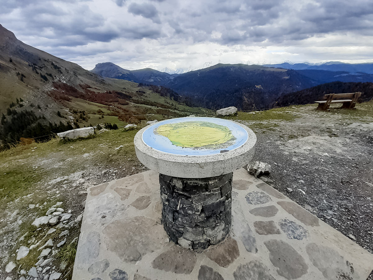
The lookout point is just a few metres off the gravel track shortly after the restaurant on the way back. It contains a map with the names of the mountains visible from here.
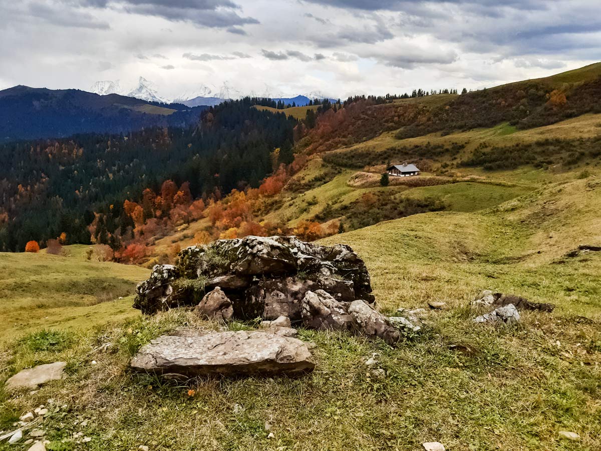
This is an excellent hike for autumn, when there are fewer crowds, less hot sun on the exposed landscape, and the trees in the valley are turning red and orange. However, be aware that the restaurant normally closes in mid-September.
This is a family-friendly hike if you choose the gravel track in both directions, otherwise it isn’t the best option for families.
You can find toilets at the restaurants at the Col des Aravis, but do note that you can only access these if you are a customer.
Similar hikes to the Col des Aravis Hike hike
Lac du Mont Charvin
It would be easy to overlook this hike on face value: the lake is small and green; the starting point…
Mont Baron
Mont Baron offers a sweeping 360° vista, with Lake Annecy to the west and the foot of the Alps to…
Lac de Lessy
Lac de Lessy is a classic place for wildlife spotting, and it’s well known for the loud calls of stags…
Comments