
Lac du Mont Charvin
View Photos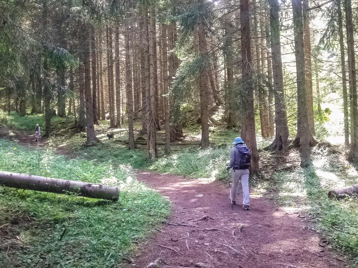
Lac du Mont Charvin
Difficulty Rating:
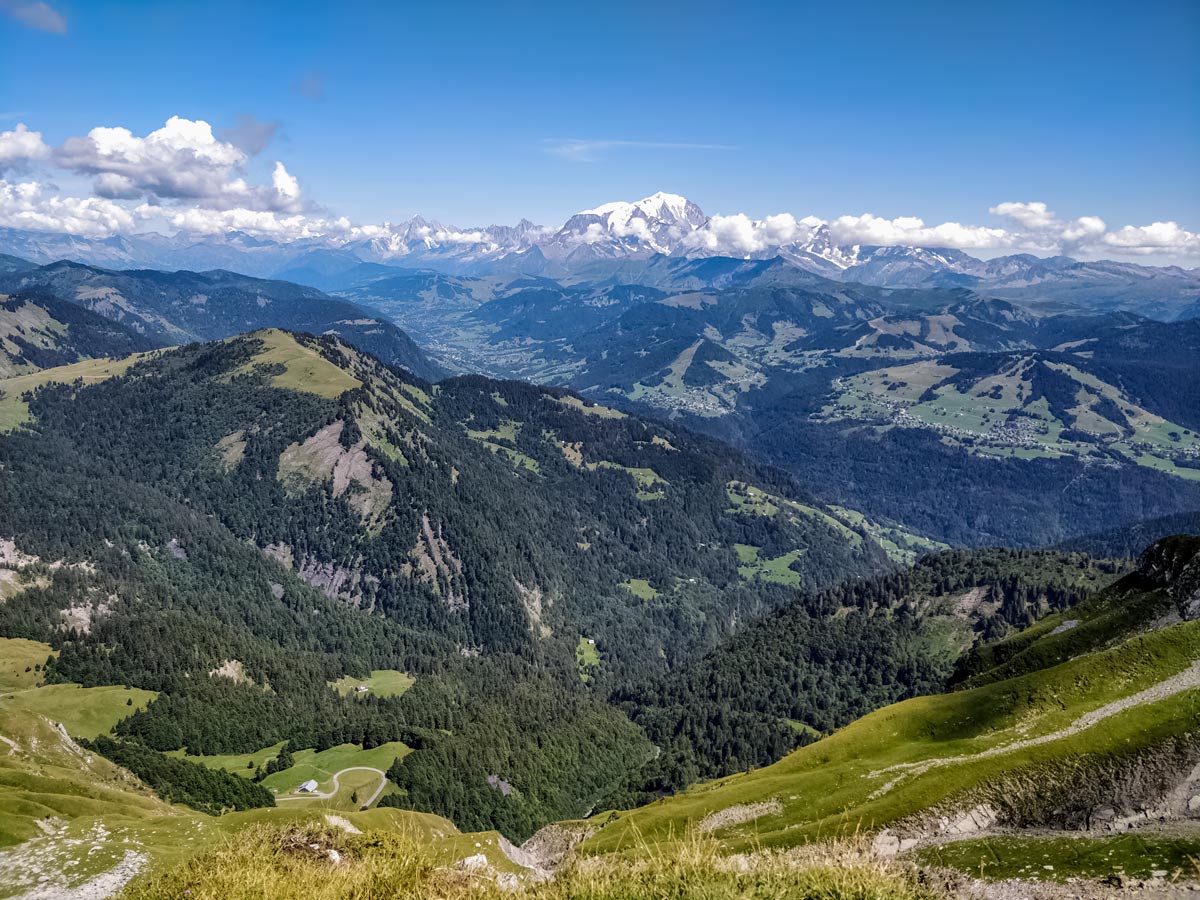
It would be easy to overlook this hike on face value: the lake is small and green; the starting point is a long drive away; and there are no public toilets in the car park. But don’t be fooled by appearances: this is a solid 2.5-hour walk up steep and picturesque terrain on a rudimentary trail with the ultimate reward — views of Mont Blanc, gleaming white on a sunny summer’s day.
Getting there
With no public transport nearby, the only practical way to get to this hike is by car. From Thônes, head towards Serraval and turn left onto the D162. A few kilometres after the village of Le Bouchet-Mont-Charvin, look out for the fork in the road to the left because this is the small passage to the car park where this walk starts.

About
| When to do | May – October, depending on snow |
| Backcountry Campsites | No |
| Toilets | No |
| Family friendly | Yes |
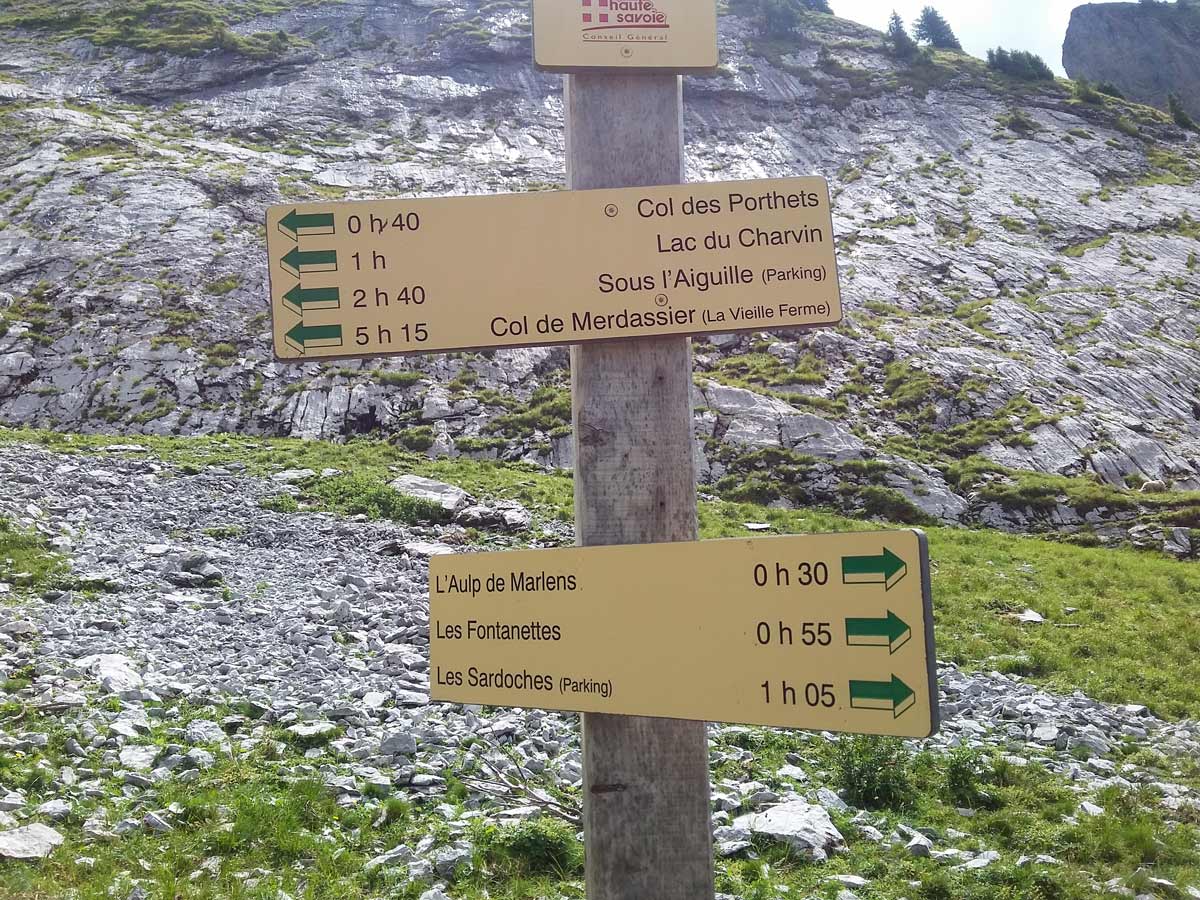
| Route Signage | Average |
| Crowd Levels | Moderate |
| Route Type | Lollipop |
Lac du Mont Charvin
Elevation Graph
Weather
Route Description for Lac du Mont Charvin
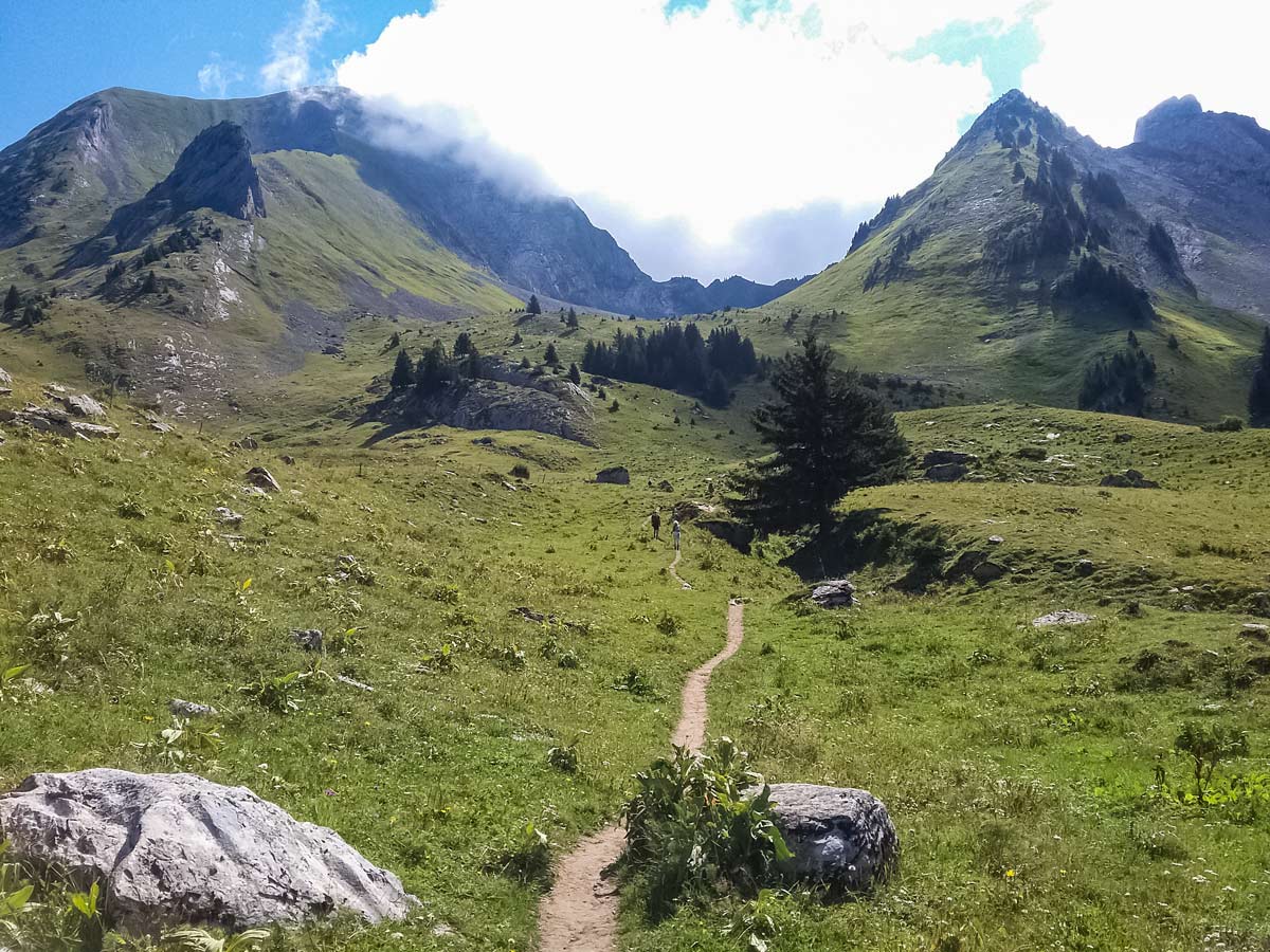
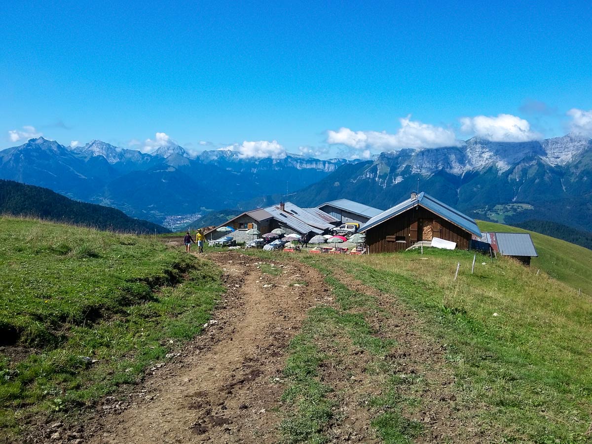
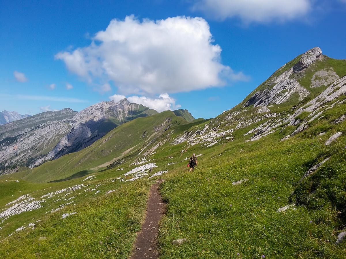
The first hour of this hike features a choice of two very different tracks which meet at the Aulp de Marlens refuge further up. The wide, gravel track is slightly longer and out in the open, making it a better option for a relaxed return with tired legs. The alternative is a narrower track through an airy forest, providing dappled shade for the initial climb before the trees give way to an open field where the track leads to the refuge. For this hike, you’ll take the forest path.
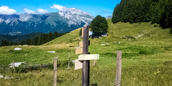
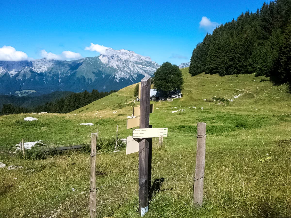
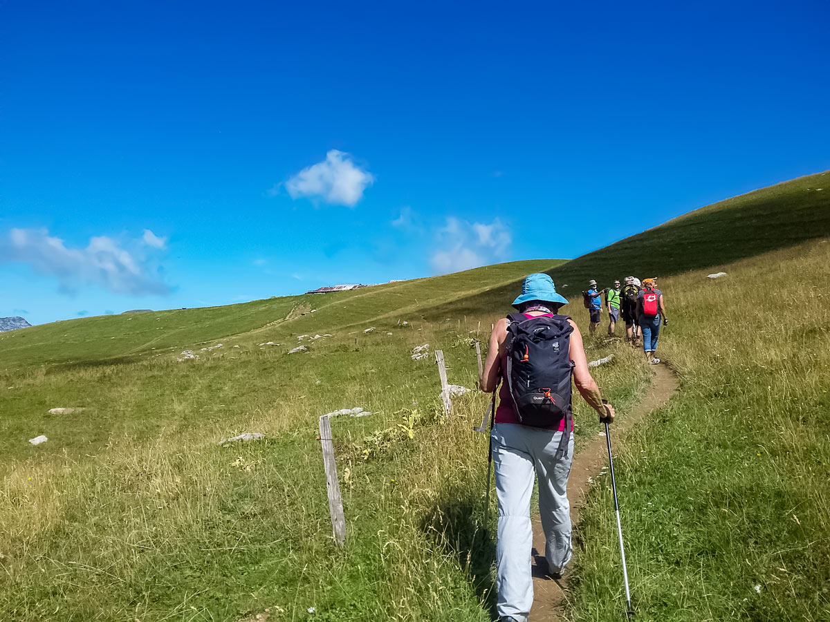
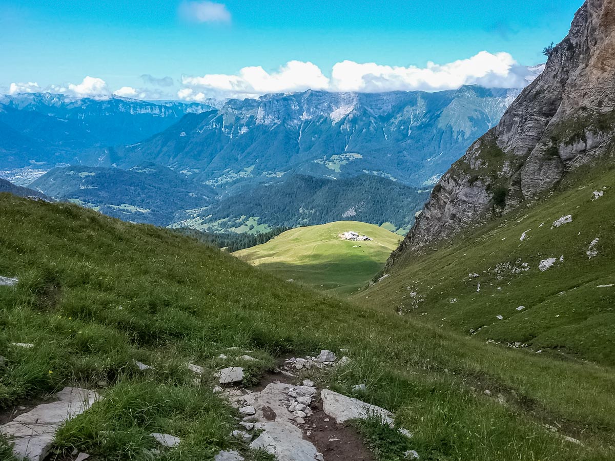
From the car park, look for the wide gravel track on the left. A little to the right of the track, look for the narrower track on the raised ground — the start of the forest track. Take this path through the forest, then when the forest clears to a field, follow the signpost for the track up through the field to the L’aulp de Marlens refuge. At the refuge, veer right onto the wide track towards the higher peaks.
About 164ft from the refuge, there’s a choice of trials. This part of the hike is not well signposted, so keep your eyes out for the split. Go to the right, through the cattle gate, and stay on the path to the right of the fence.
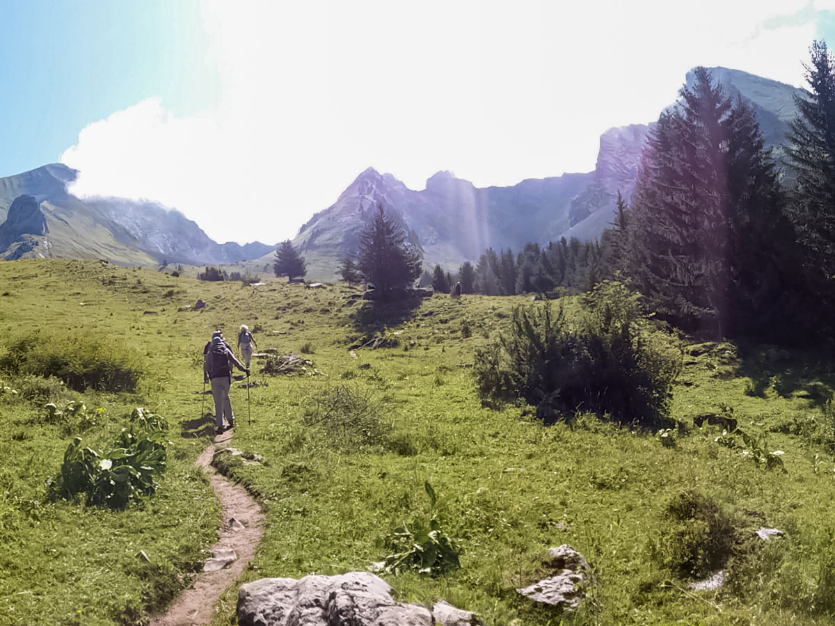
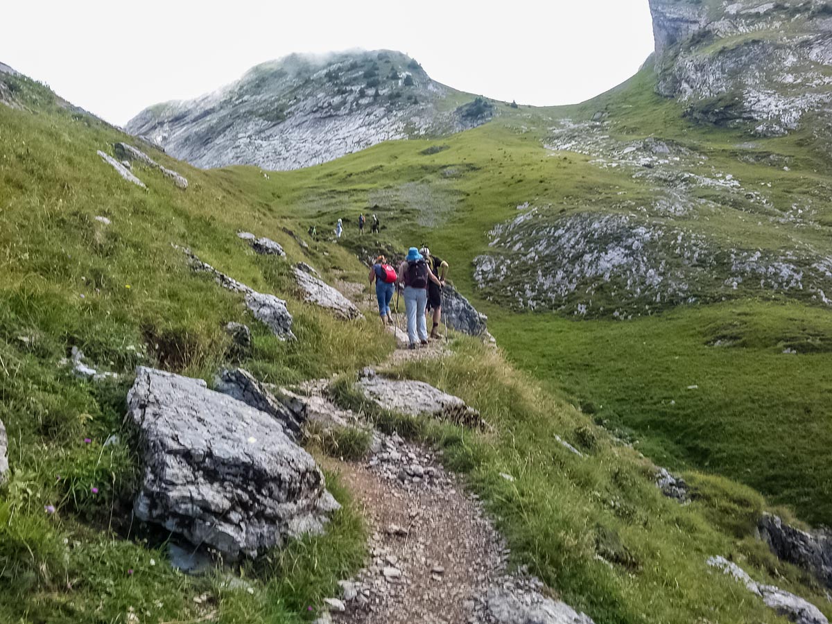
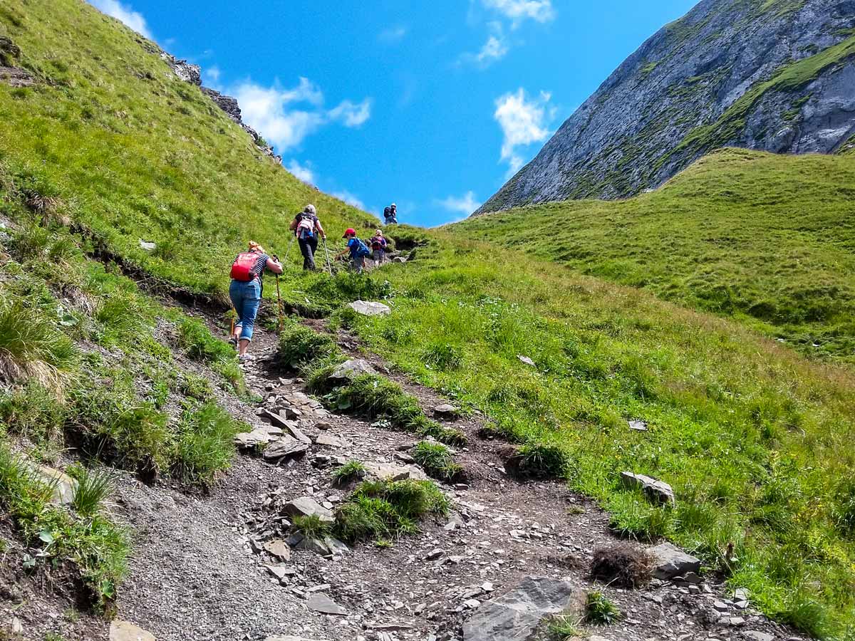
Follow the same track through green fields and over rocky sections, remembering to savour the view back down the valley every now and again. Sheep, goats and cows are frequently left to graze in these pastures, with their telltale bells giving away their location well before they’re close enough to see.
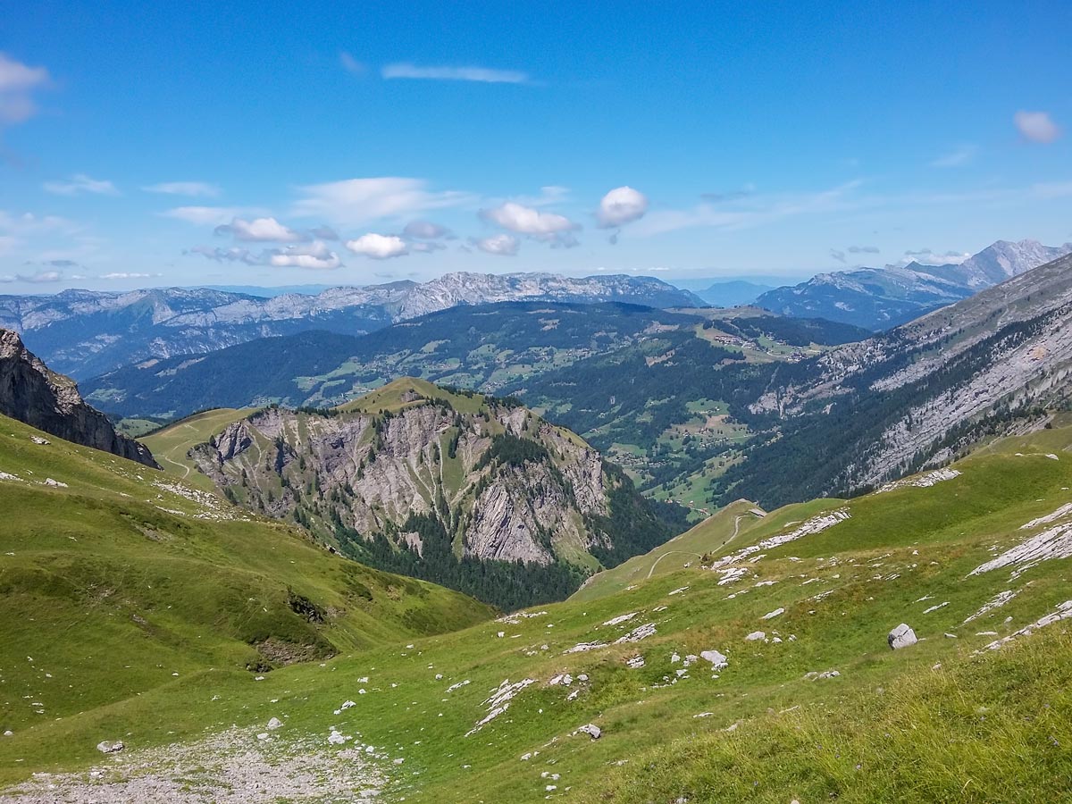
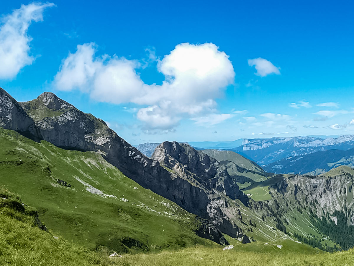
A tough climb to a sharp crest to the Col des Porthets marks the end of the steepest section. Take a moment here to enjoy the views into both valleys. Although Lac du Mont Charvin is not yet in view, it’s only about another 20 minutes away.
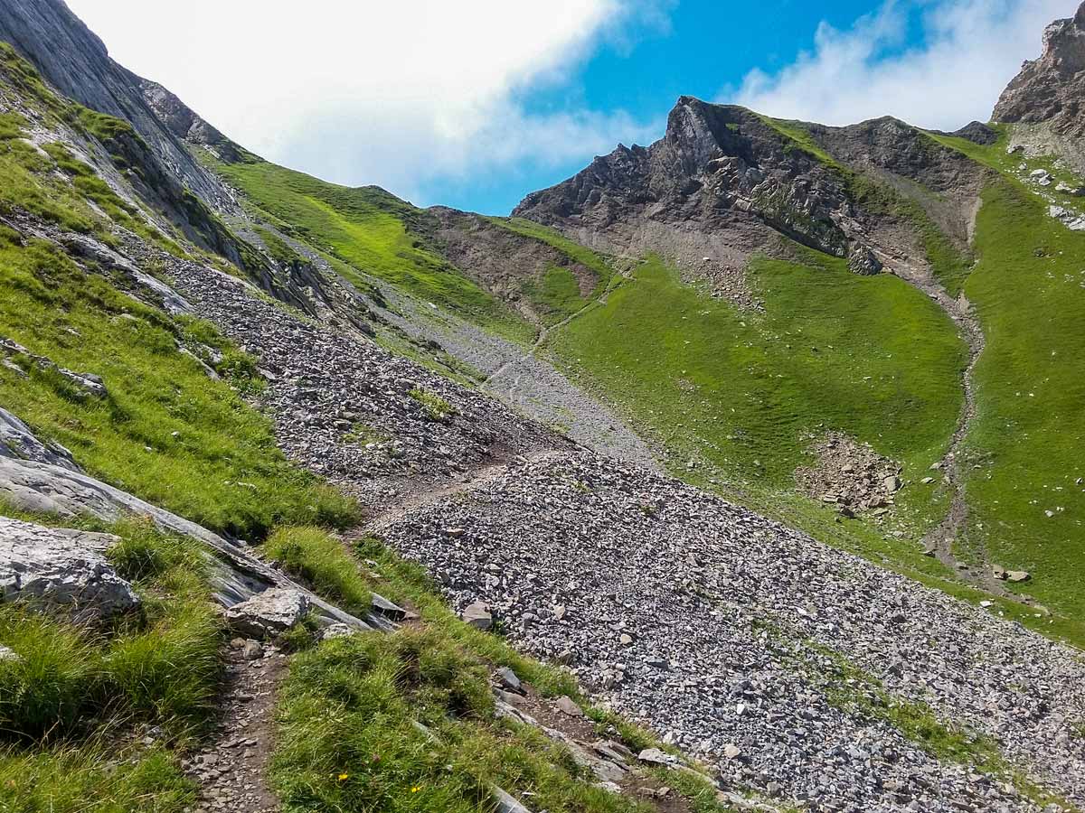
Continue along the track, which crosses the crest and descends into the valley below. In this valley, listen for the shrill squeals of near and distant marmots: they’re harder to see than they are to hear!
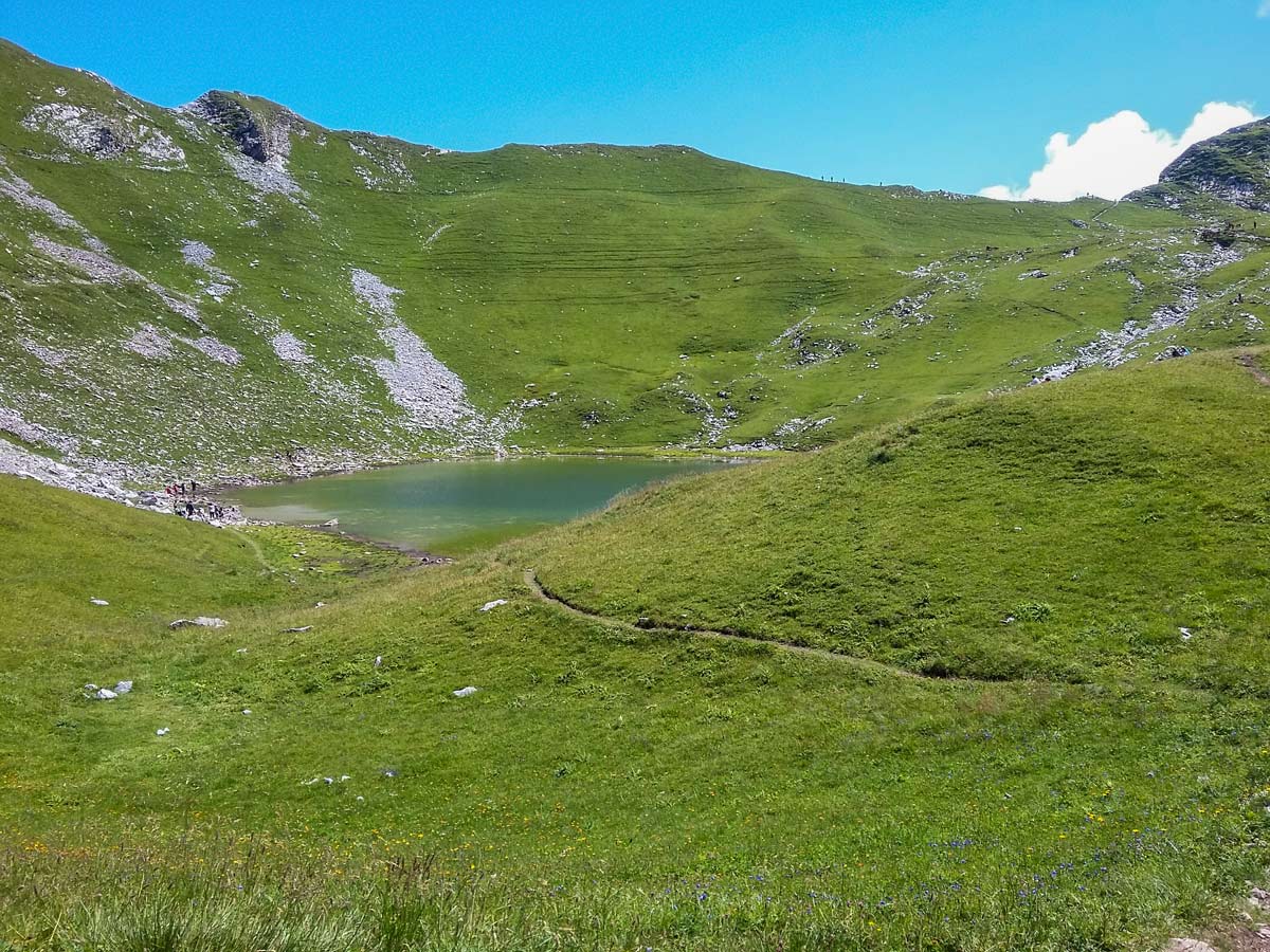
The track soon becomes covered in loose rocks, then solid rock, then back to dirt as you veer to the right and up the short incline to the crest before the lake.
If you wish to see Mont Blanc, continue along the track that traverses the lake from a distance in an anti-clockwise direction, which leads to the next crest. Otherwise, take your time at the lake until you’re ready for the long descent to the car park.
Take the same rugged path back to the refuge, then choose whether to take the same forest path to get back to the car park or the wider gravel track. If you choose gravel, walk between the refuge buildings to the track which loops behind the refuge and down the hill.
Follow the gravel track and listen for any cars that might pass. When there’s a fork in the track, stay right, then carry on to the car park.
Insider Hints
If you don’t already use poles while walking, try them on this hike: the steep sections are tough on muscles and joints during both the ascent and the descent.
The hike is not suitable for wheelchairs or pushchairs.
Without public toilets or water along the track, make sure you are well prepared before you leave. But note that there is a bar/restaurant/refuge about an hour into the walk, then nothing else.
Rocky outcrops around the lake make great seating for a picnic.
Similar hikes to the Lac du Mont Charvin hike
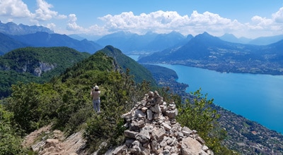
Mont Baron
Mont Baron offers a sweeping 360° vista, with Lake Annecy to the west and the foot of the Alps to…
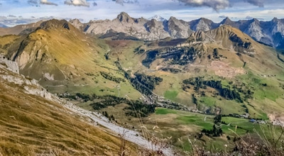
Plateau des Glieres: Three Têtes Hike
With jetting mountain peaks covered in a carpet of green and unforgettable valley and lake views, the Plateau des Glières…
Lac de Lessy
Lac de Lessy is a classic place for wildlife spotting, and it’s well known for the loud calls of stags…
Comments