
Mont Baron
View Photos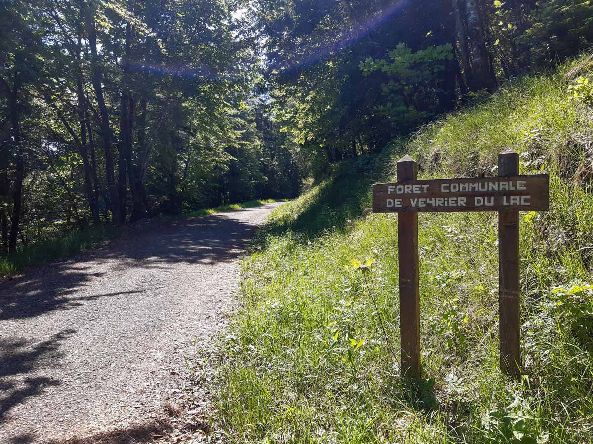
Mont Baron
Difficulty Rating:
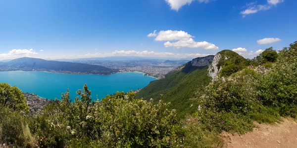
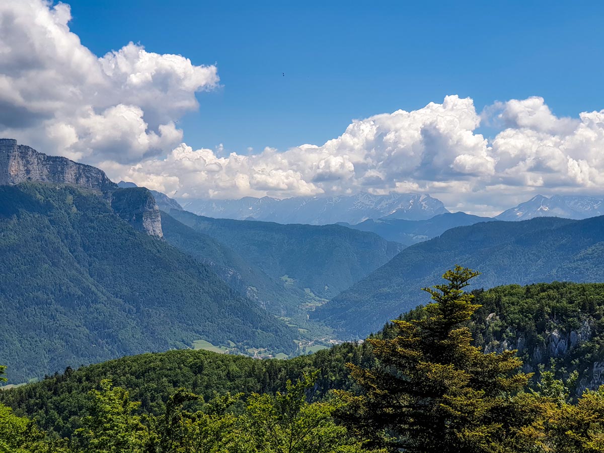
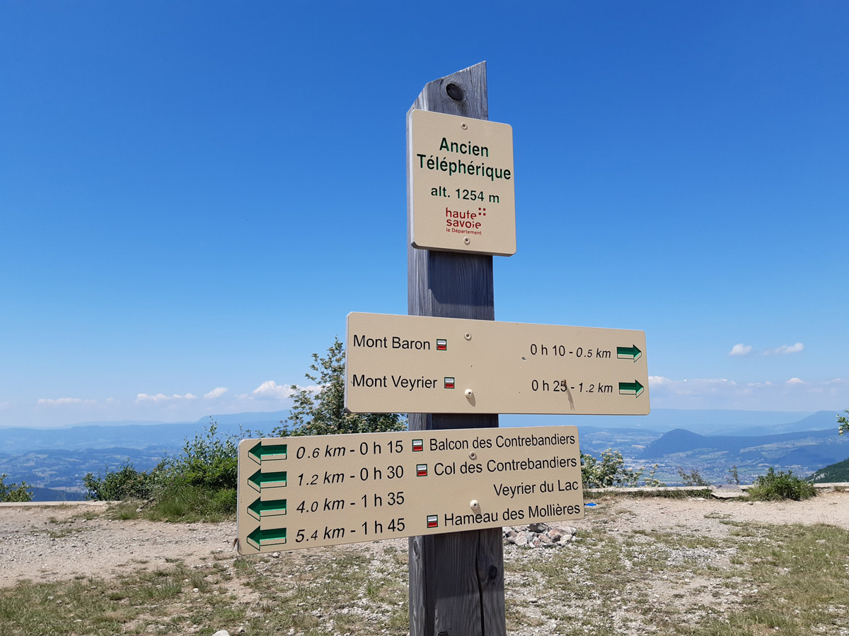
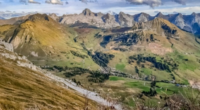
Mont Baron offers a sweeping 360° vista, with Lake Annecy to the west and the foot of the Alps to the east. It was once home to the Mont Veyrier cable car (télépherique du Mont Veyrier), which was removed in 2001, leaving a lovely open space for wild camping and admiring the views over a picnic lunch or a drink at sunset. It’s a popular walk for a good reason, with access starting at a number of different points.
Getting there
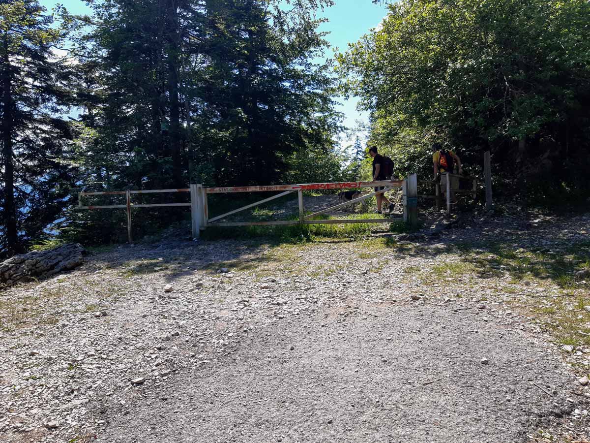
Accessible from all sides, hiking to Mont Baron can vary from a few hours to a full day from the lake. This hike starts from the gravel end of the road called Route Forestière du Mont Baron. To get here, a car is the only option. Approach from Annecy-le-Vieux and take Route du Plan de Sagram for 1.7mi, then take the sharp turn right to continue on the Route du Mont Baron. After 0.7mi, turn left onto the Route Forestière du Mont Baron and park anywhere for a longer walk (and walk up the same road), or drive a further 0.8mi to reach the small car park by the road barrier, where the asphalt road turns to gravel. Make sure you park away from the barrier so emergency vehicles can pass.

About
| When to do | March - November, depending on snow |
| Backcountry Campsites | Yes—wild camping |
| Toilets | No |
| Family friendly | Older Children only |
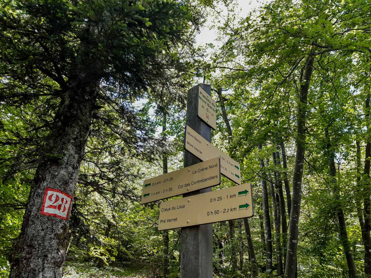
| Route Signage | Poor |
| Crowd Levels | High |
| Route Type | Circuit |
Mont Baron
Elevation Graph
Weather
Route Description for Mont Baron
From the parking described above, head up the wide gravel road, using the small gate if the boom gate is down. This takes you directly to the top. It’s steep, so bring poles if you plan to return on this path (the most direct and fastest route back). Keep an eye out for views of craggy mountains of Le Parmalan to the left.
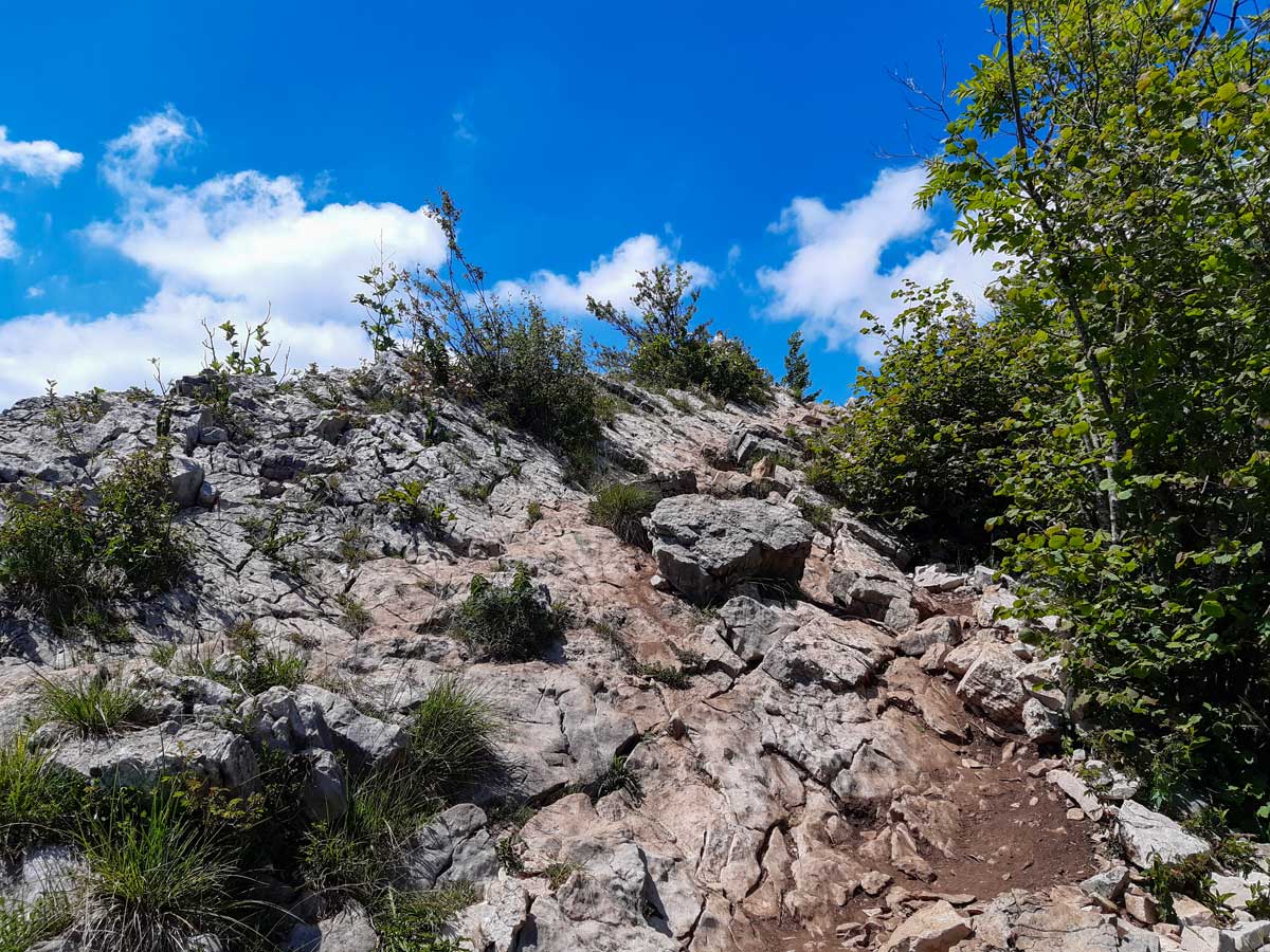
There’s only one trail that crosses this road. If you want to extend this short hike, take the trail to the left towards Col des Contrebandiers, which is an easy, flat 10-minute hike, then a steep, rocky ascent for the final 984ft to get to the same lookout point at the top. Otherwise, continue along the wide service road for the most direct route to the lookout point.
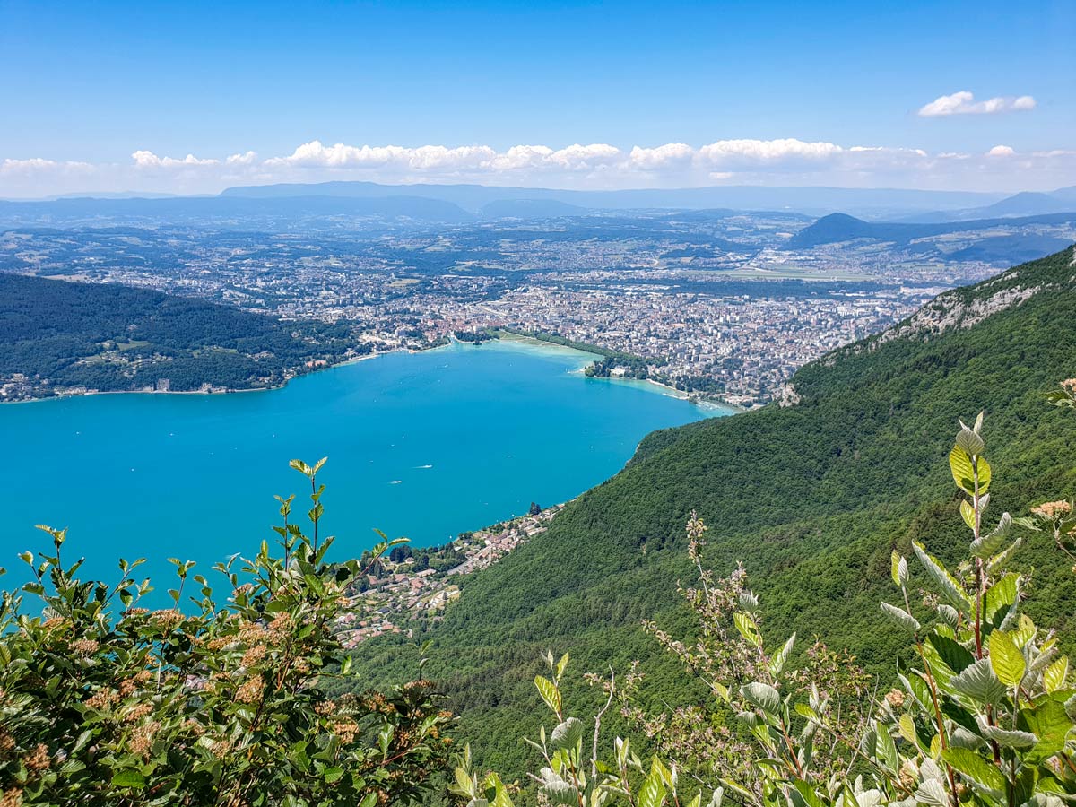
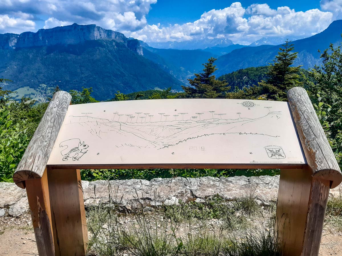
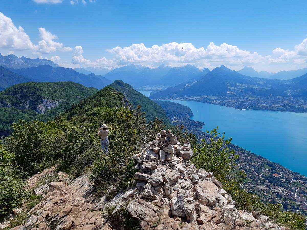
At the top, take in the views of Lake Annecy and the city. From here you can see the reclaimed swamp land at the top end of the lake — the ordered greens of Le Paquier and the tree-filled European garden — in front of the old town. There are several panels that point out the peaks all around.
When you’re ready to continue, either return along the same gravel track, or take the longer, narrow trail back down. These directions provide details for the narrow path.
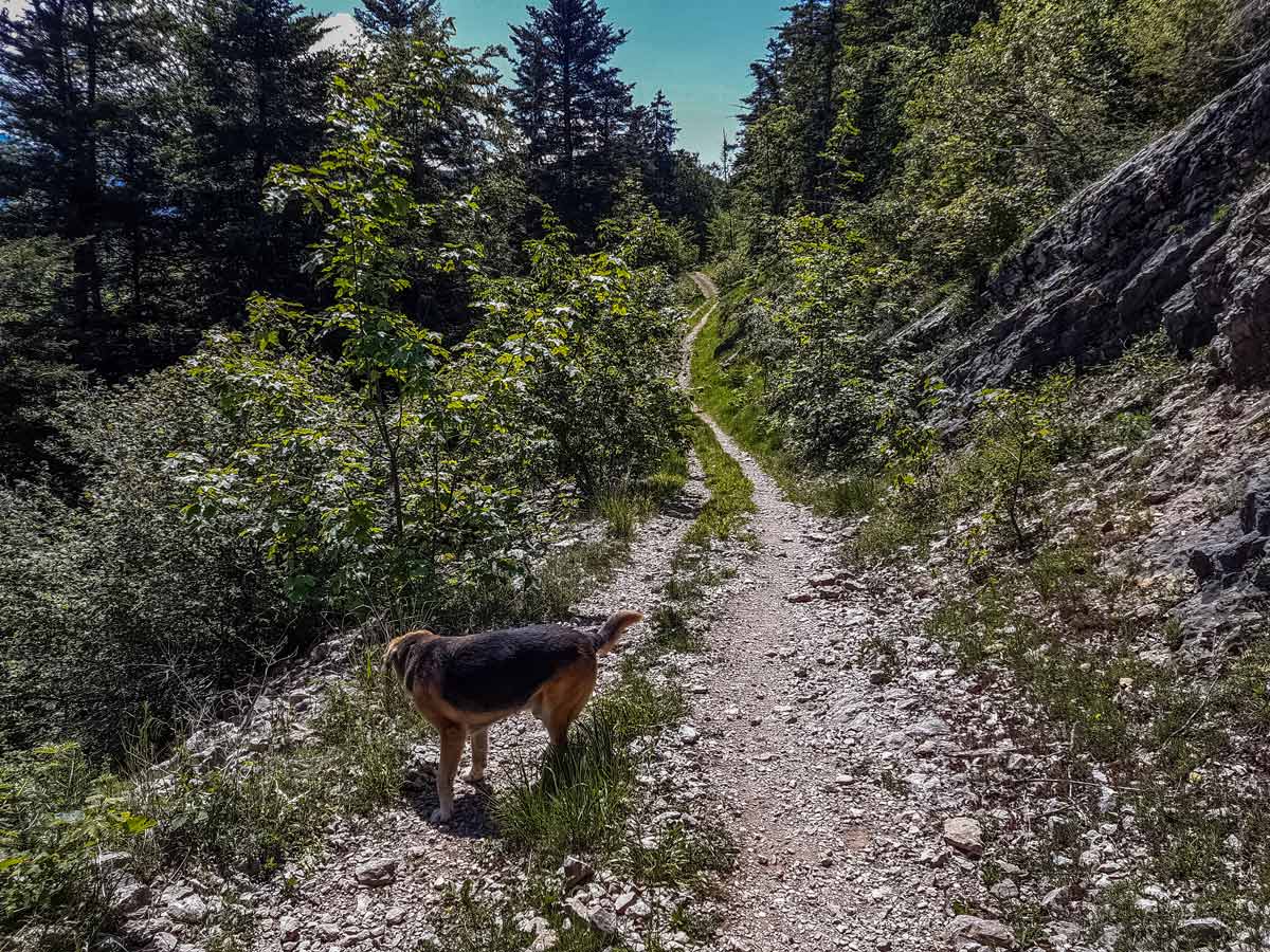
With the lake view in front of you, turn right and walk towards the small trail that leads to the crest, in the direction on the signpost for Mont Baron and Mont Veyrier. The dirt track narrows, with some challenging sections of rocky trail along the way.
Every now and again, there will be a fork in the path, and most of the routes to the left provide a short and quick view of the lake from a breath-taking viewpoint above the cliffs. Be careful here with small children, as safety barriers are rare.
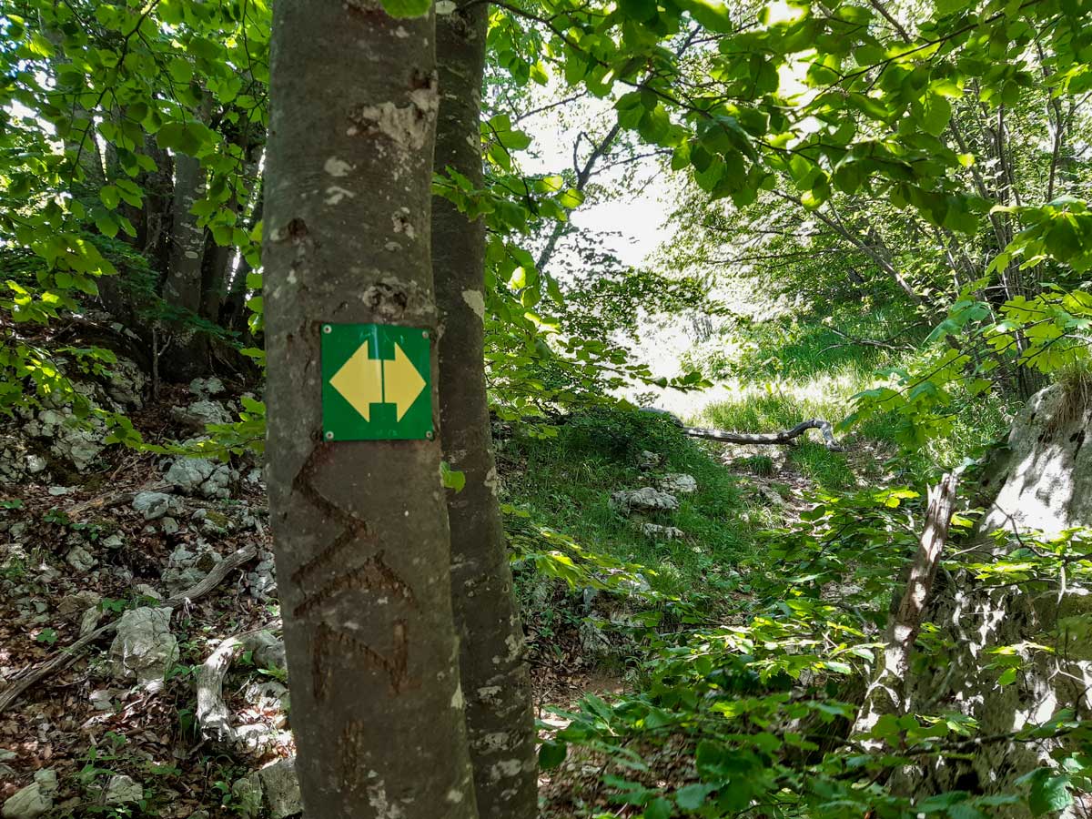
Follow the trail which has trees marked with yellow arrows on a green background along the rocky crest, taking a moment to take in the view behind you, then continue about 164ft and stay right when the trail forks into a number of options. The trail to the left stays up high on the crest before leading down towards the lake. The side-trail on the right leads to the Plateau du Mont Baron, where the scenery changes to an open forest on easier ground. If you soon reach a signpost marked as Mont Baron, you’ve gone the wrong way: turn back and walk back around 164ft to get back on the main track towards Creux du Loup.
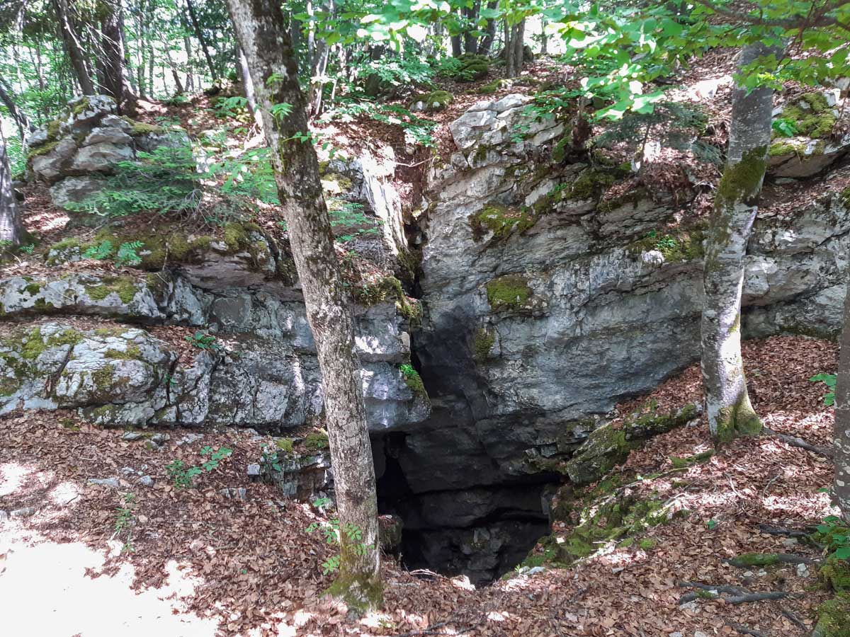
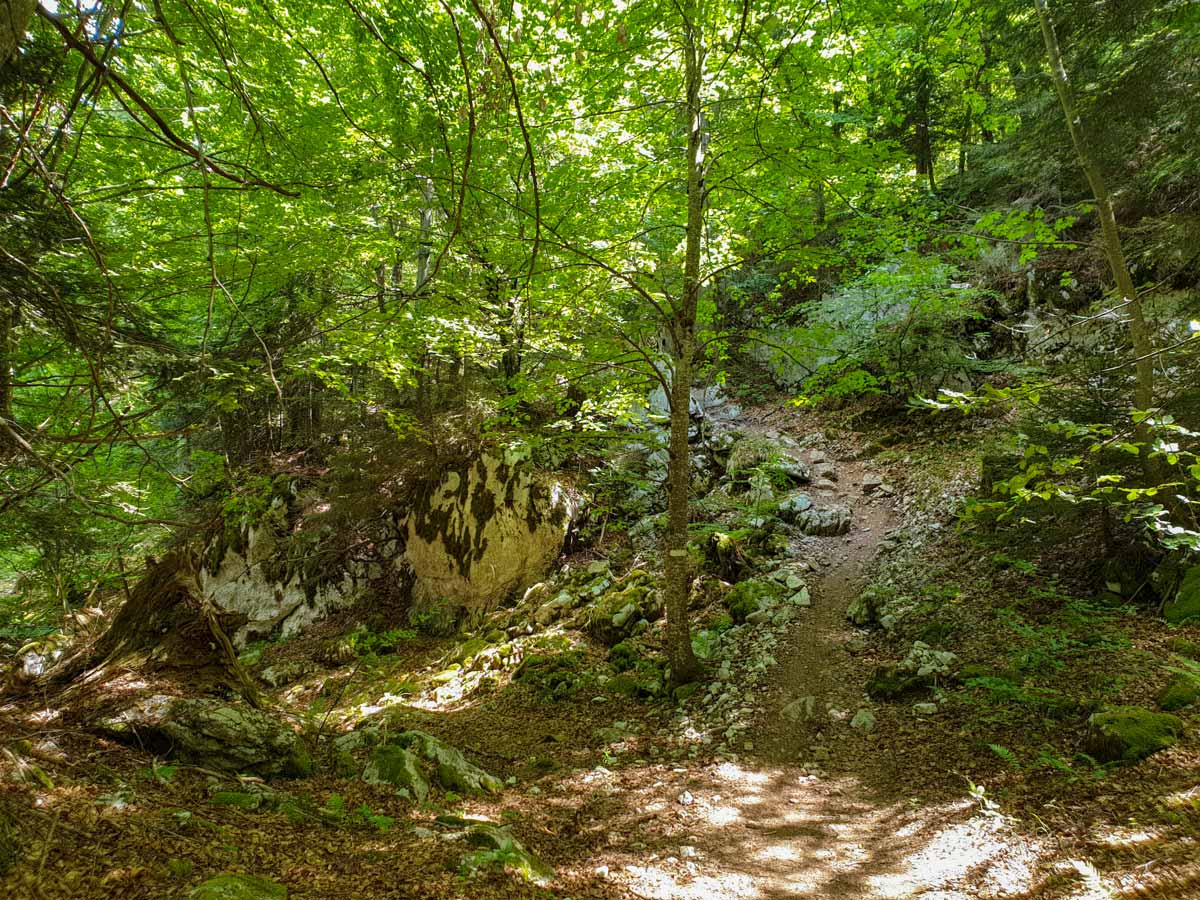
Once you’ve passed a large rock formation on the right with a cave opening down a hole, you’ll reach a signpost. Follow the sign for Creux du Loup. It might seem like you’re going in the wrong direction, but this is the correct way (the sharper turn takes you back near the top). This path starts flat and soon becomes a steep, zig-zag descent over rocks.
There are no other trails for some time, until you arrive at the signpost at Creux du Loup. At the time of writing, the signpost was partly broken. Turn right towards La Crène Nord and Col des Contrebandiers along a trail that might be marked with bright green paint on the rocks trees. The trail winds around the hillside then descends more steeply for the final descent back to the main road with asphalt. This is where the hike began.
Insider Hints
This smaller area for parking is often empty on busy days, when the main car parks further down are brimming with cars.
At the top, wander around the nearby trails, which hide plenty of small openings surrounded by trees. These are perfect picnic spots for small groups, like your own private dining room with a view!
The flat area at the top is perfect for wild camping (at your own risk), but make sure you take any rubbish home with you, and prepare yourself for trail runners puffing past your camp at dawn.
For a longer walk, stay along the crest from Mont Baron and follow the signs for the Col des Sauts, then the Col du Prè Vernet. From here, you can take the asphalt road back along the Route Forestière du Mont Baron, or hike through the forest along the path that runs parallel to the road. This adds 2.5mi to the hike.
You can also do this is a one-way hike for a faster route.
Similar hikes to the Mont Baron hike
Lac du Mont Charvin
It would be easy to overlook this hike on face value: the lake is small and green; the starting point…
Lac de Lessy
Lac de Lessy is a classic place for wildlife spotting, and it’s well known for the loud calls of stags…
Angon Waterfall
This hike is packed with interesting stops — a vertiginous waterfall, a picturesque fairy bridge, breathtaking views over Lake Annecy,…
Comments