Throop Peak via Dawson Gap Hike
View Photos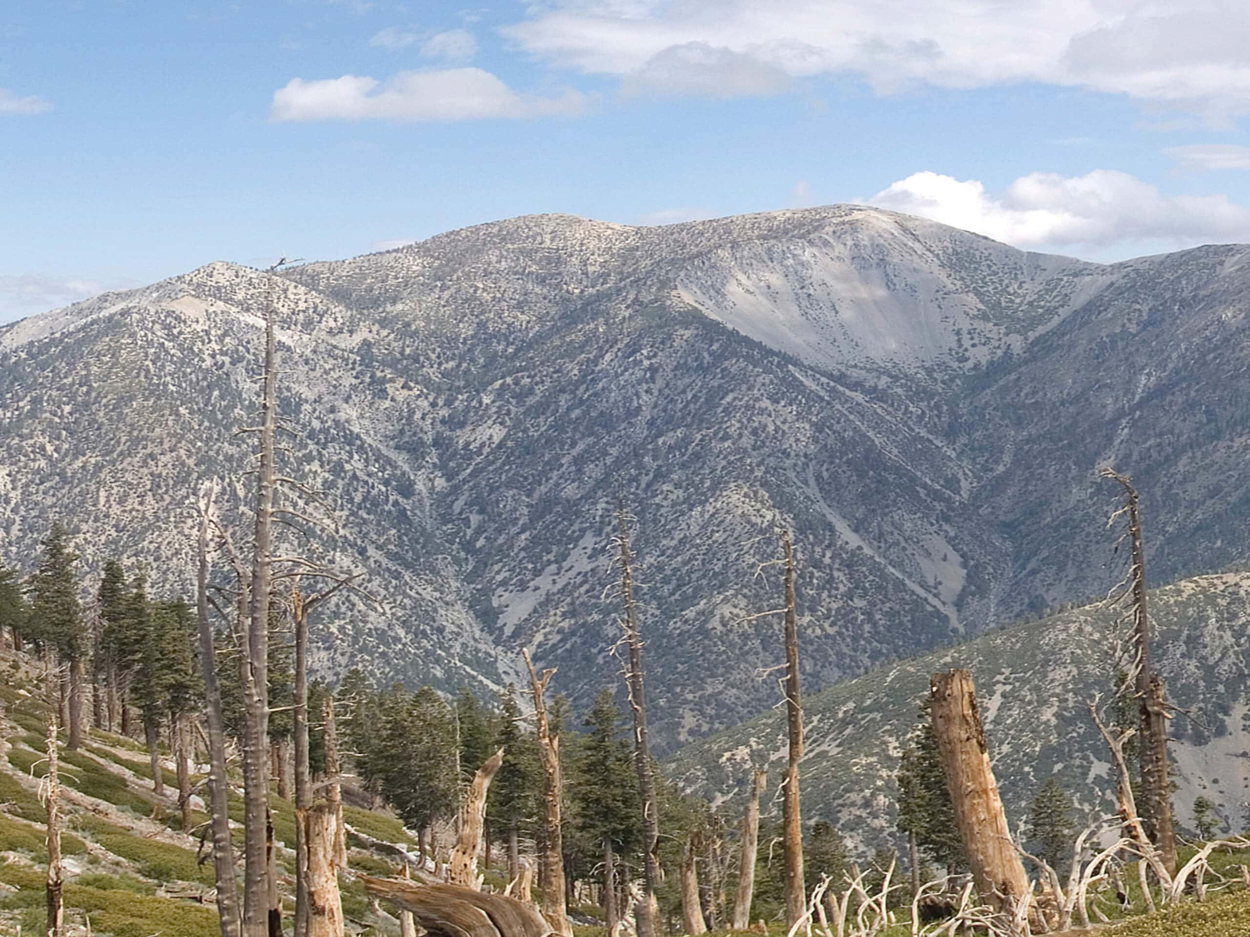
Throop Peak via Dawson Gap Hike
Difficulty Rating:
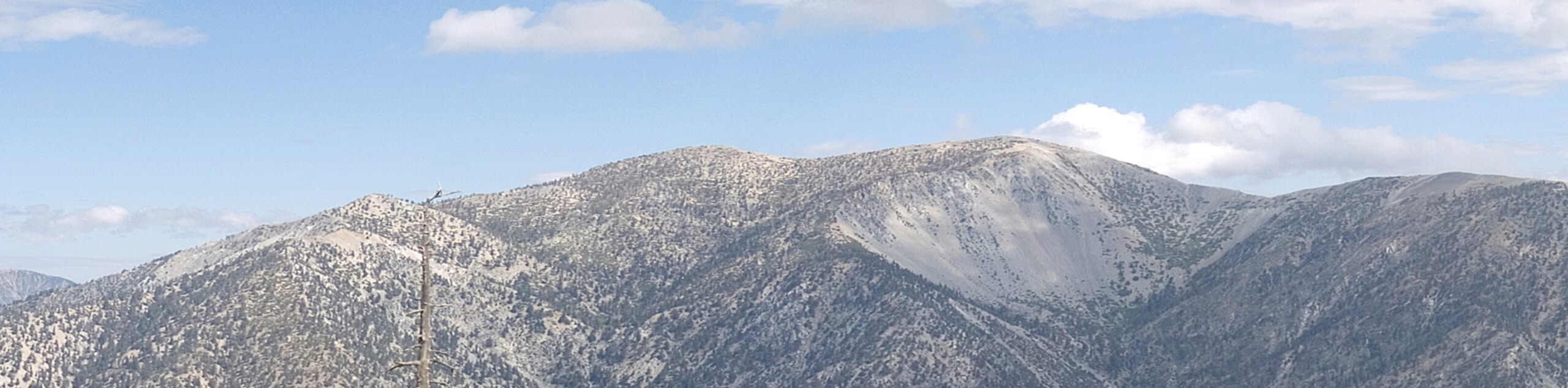
The Hike to Throop Peak via Dawson Gap is a great excursion in Angeles National Forest that offers some lovely views across the undulating landscape. While out on the trail, you will climb steadily uphill through the forest, before pushing on to the summit for views that extend out to Catalina Island on a clear day. Be sure to have your adventure pass visible in your vehicle before setting out on your hike.
Getting there
The trailhead for this hike can be found along CA-2 at the Dawson Saddle.

About
| Backcountry Campground | No |
| When to do | March-November |
| Pets allowed | Yes - On Leash |
| Family friendly | No |
| Route Signage | Average |
| Crowd Levels | Moderate |
| Route Type | Out and back |
Throop Peak via Dawson Gap Hike
Elevation Graph
Weather
Throop Peak via Dawson Gap Hike Description
Whether you want to spend the day outdoors with the family or simply want to escape the hustle and bustle of everyday life while taking in some incredible views, this is a fantastic trail that will be sure to deliver.
Setting out from the trailhead in the Dawson Gap, you will make your way to the south and uphill through the forest. Shortly after the start of your hike, you will keep right at a junction and continue climbing up the mountainside.
After pushing your way up through the mountainous landscape, you will eventually make a sharp right along the trail and head further south to arrive at the top of Throop Peak. Take some time to appreciate the views, before heading back along the same route.
Similar hikes to the Throop Peak via Dawson Gap Hike hike

Mount Zion via Lower Winter Creek Trail Loop
The Mount Zion via Lower Winter Creek Trail Loop is a physically demanding Southern California adventure that features waterfall and…

Castaic Falls Trail
Hiking the Castaic Falls Trail is a fun little adventure in the Angeles National Forest that features a charming waterfall.…

Graveyard Truck Trail
Hiking the Graveyard Truck Trail is a pleasant experience in Southern California that features easy-going terrain and views of the…
Comments