Telegraph Peak via Manker Flats Hike
View Photos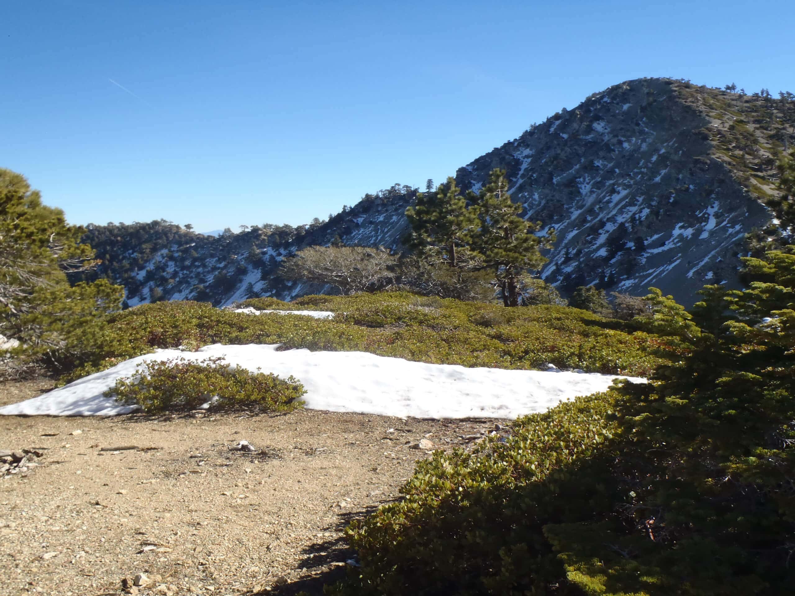
Telegraph Peak via Manker Flats Hike
Difficulty Rating:
The Telegraph Peak via Manker Flats Hike is a long and challenging adventure in the Angeles National Forest that climbs up to the tallest of the Three Ts summits. While out on the trail, you will traverse Baldy Road and pass by the Mount Baldy Notch, before pushing uphill across Thunder Mountain to reach the scenic summit of Telegraph Peak. Don’t forget you have your adventure pass visible in your vehicle when you set out on your hike.
Getting there
The trailhead for the Telegraph Peak via Manker Flats Hike can be found at the Mount Baldy Trailhead on Falls Road.

About
| Backcountry Campground | Manker Flat |
| When to do | March-November |
| Pets allowed | Yes - On Leash |
| Family friendly | No |
| Route Signage | Average |
| Crowd Levels | Moderate |
| Route Type | Out and back |
Telegraph Peak via Manker Flats Hike
Elevation Graph
Weather
Telegraph Peak via Manker Flats Hike Description
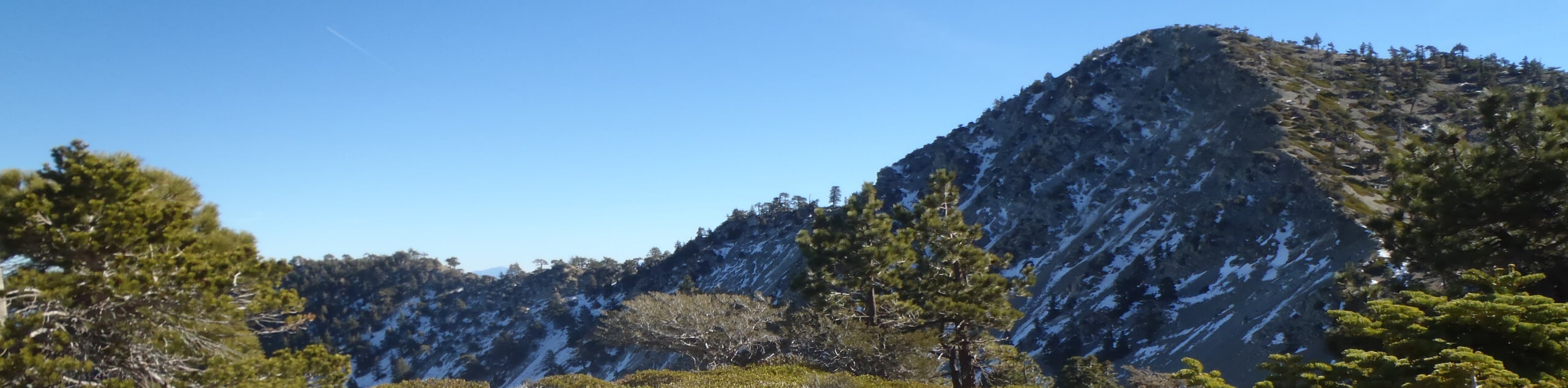
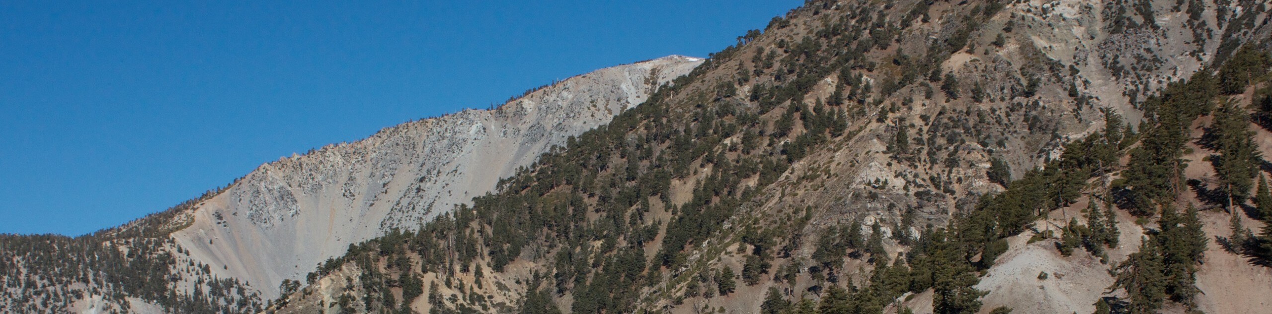
For those who want to test their physical fitness, the Telegraph Peak via Manker Flats Hike is a tough adventure that will reward you with some amazing Southern California views. Make sure to stop in at the Top of the Notch restaurant at the mid-way point of either your ascent or descent for a quick snack or drink.
Setting out from the trailhead, you will follow along Falls Road and take in the beauty of the San Antonio Falls, before turning to the northeast along Baldy Road to reach Mount Baldy Notch. Here you can pop into the aforementioned restaurant for a snack, or continue working your way uphill to the ultimate prize of the day, the views from the summit of Telegraph Peak.
From the restaurant, you will head southwest through the forest and pass by a small reservoir, before following the trail as it bends to the south and climbs sharply uphill to the summit of Thunder Mountain. Turning to the southeast, you will push further uphill and traverse a series of switchbacks to reach the top of Telegraph Peak, where you will enjoy sweeping views of the entire landscape. After taking in the views, simply head back along the same route to return to the trailhead.
Similar hikes to the Telegraph Peak via Manker Flats Hike hike

Mount Zion via Lower Winter Creek Trail Loop
The Mount Zion via Lower Winter Creek Trail Loop is a physically demanding Southern California adventure that features waterfall and…

Sunset Peak Alternate Approach Hike
The Sunset Peak Alternate Approach Hike is a great intermediate-length route in Southern California that features some gorgeous canyon views.…
Register Ridge to Mount San Antonio Hike
The Register Ridge to Mount San Antonio Hike is equal parts scenic and incredibly challenging. While out on the trail,…
Comments