Mount Lowe via Eaton Saddle Hike
View Photos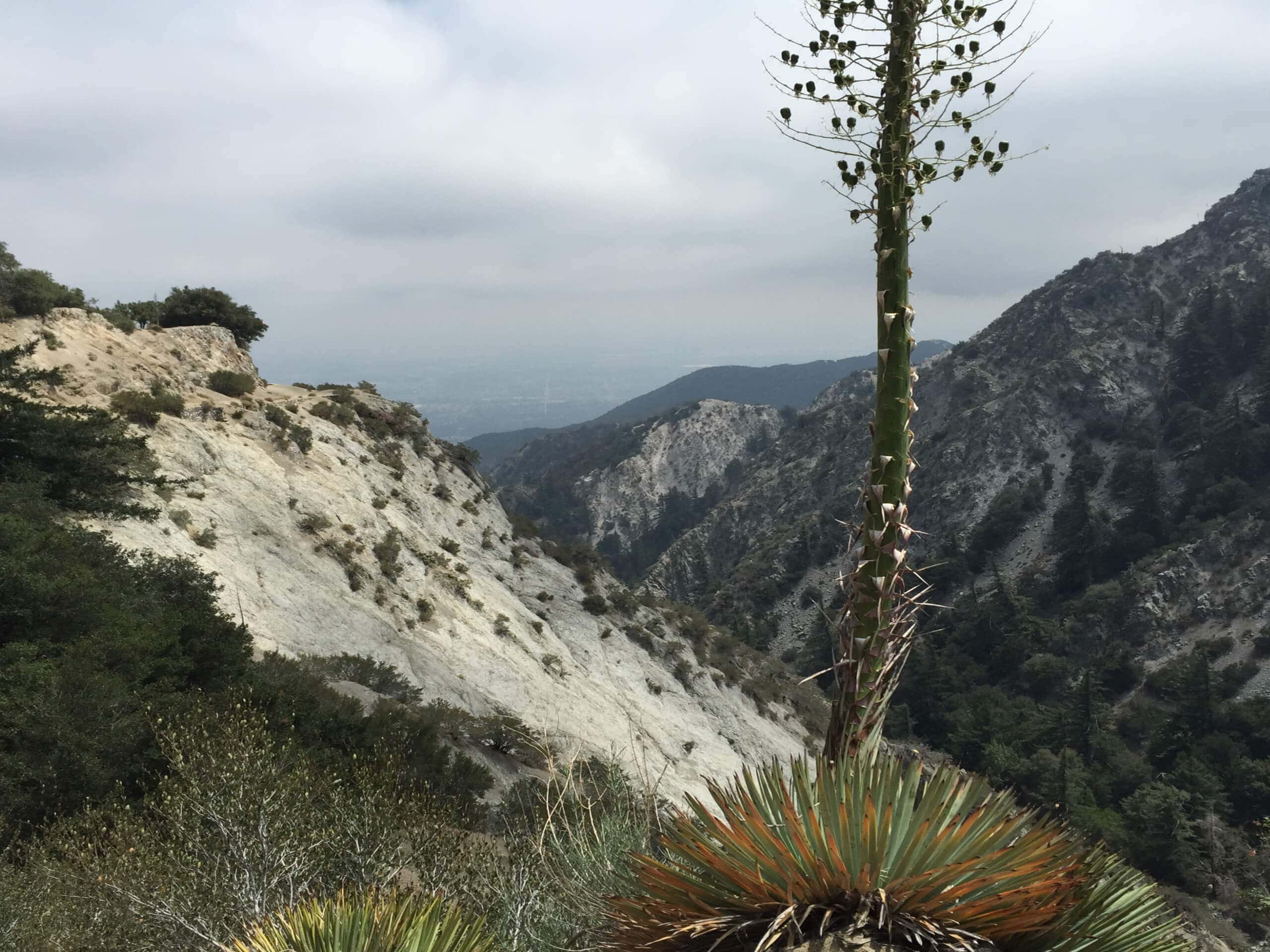
Mount Lowe via Eaton Saddle Hike
Difficulty Rating:
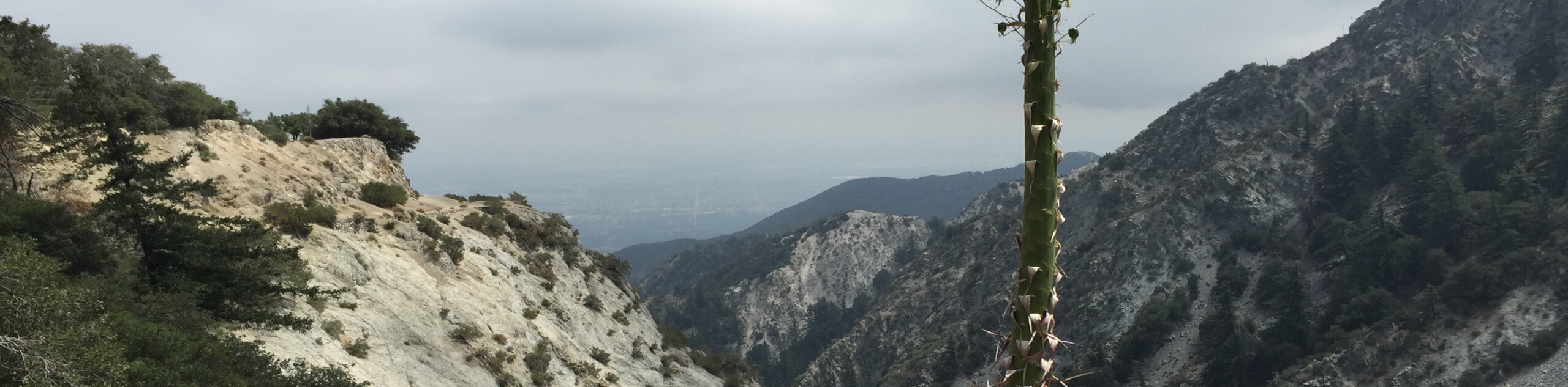
The Mount Lowe via Eaton Saddle Hike is a great moderate-length trail in Southern California that will take you up to a summit with some amazing views. While out hiking the trail, you will follow along Mount Lowe Road and break off onto a footpath leading up to the saddle between Mount Lowe and Mount Markham, before reaching the scenic summit viewpoint. Make sure to bring microspikes and/or hiking poles if you are planning on completing this hike in cold or icy weather.
Getting there
The trailhead for the Mount Lowe via Eaton Saddle Hike can be found at the Eaton Saddle parking area along Mt Wilson Red Box Road.

About
| Backcountry Campground | Mount Lowe Trail Camp |
| When to do | March-October |
| Pets allowed | Yes - On Leash |
| Family friendly | No |
| Route Signage | Average |
| Crowd Levels | Moderate |
| Route Type | Lollipop |
Mount Lowe via Eaton Saddle Hike
Elevation Graph
Weather
Mount Lowe via Eaton Saddle Hike Description
If you don’t have the time for a long and challenging route through the mountains, but still want to experience the rugged beauty of the Angeles National Forest landscape, then the Mount Lowe via Eaton Saddle Hike is a great option to explore.
Setting out from the trailhead, you will follow along Mount Lowe Road as it travels west and leads you through the Mueller Tunnel. Shortly after this, you will keep left at a fork and follow the Mount Lowe Trail as it climbs uphill to a saddle. Making a sharp right turn along the trail, you will quickly climb uphill and arrive at the summit of Mount Lowe, where you will enjoy sweeping views of the Southern California landscape.
From here, follow the trail as it leads downhill to the northwest, before turning south to lead you into the Mount Lowe Trail Camp. Continue on along the trail as it turns back to the northwest and eventually meets up with Mount Lowe Road, where you will turn right and follow the road back into the trailhead where you began.
Similar hikes to the Mount Lowe via Eaton Saddle Hike hike

Mount Zion via Lower Winter Creek Trail Loop
The Mount Zion via Lower Winter Creek Trail Loop is a physically demanding Southern California adventure that features waterfall and…

Castaic Falls Trail
Hiking the Castaic Falls Trail is a fun little adventure in the Angeles National Forest that features a charming waterfall.…

Graveyard Truck Trail
Hiking the Graveyard Truck Trail is a pleasant experience in Southern California that features easy-going terrain and views of the…
Comments