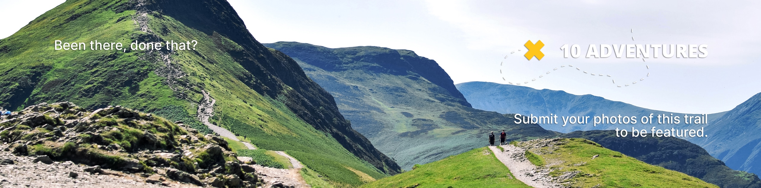
Mount Bliss: Van Tassel Trail
View Photos
Mount Bliss: Van Tassel Trail
Difficulty Rating:
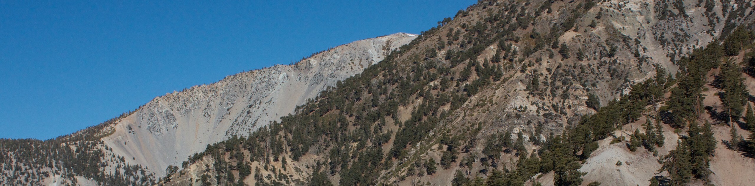
Hiking the Mount Bliss: Van Tassel Trail is a tough adventure in Southern California that traverses a winding mountain road with views of the surrounding landscape. While out on the trail, you will steadily gain elevation as you work your way into the mountains, eventually arriving at the summit of Mount Bliss for a great sightline across SoCal. Be sure to have your adventure pass visible in your vehicle prior to setting out on your excursion.
Getting there
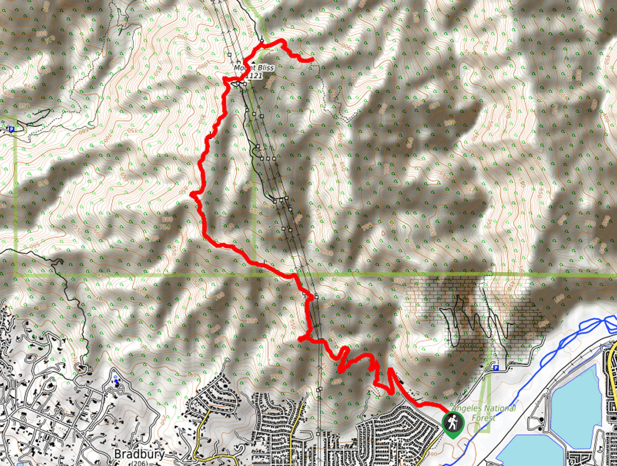
The Mount Blis: Van Tassel Trail can be accessed from Fish Canyon Road at the junction with Van Tassel Motorway.

About
| Backcountry Campground | No |
| When to do | April-November |
| Pets allowed | Yes - On Leash |
| Family friendly | No |
| Route Signage | Average |
| Crowd Levels | Moderate |
| Route Type | Out and back |
Mount Bliss: Van Tassel Trail
Elevation Graph
Weather
Mount Bliss: Van Tassel Trail Description
Whether you are simply looking to take in the views or are after a challenging hike into the mountains, the Mount Bliss: Van Tassel Trail is a real leg burner that will make for a fun day on the trails of Angeles National Forest.
Setting out from the trailhead, you will follow along the Van Tassel Motorway as it leads to the northwest. Fairly quickly, the road will start to wind up the mountainside and you will gain elevation as you work towards the summit of Mount Bliss.
Eventually, the road will turn to the north and take you underneath some power lines near the summit. Continue on for about 0.3mi, where you will turn right onto a smaller path that will bring you to the end of the trail. From here, simply turn back and retrace your steps downhill to return to the trailhead.
Similar hikes to the Mount Bliss: Van Tassel Trail hike

Mount Zion via Lower Winter Creek Trail Loop
The Mount Zion via Lower Winter Creek Trail Loop is a physically demanding Southern California adventure that features waterfall and…

Sunset Peak Alternate Approach Hike
The Sunset Peak Alternate Approach Hike is a great intermediate-length route in Southern California that features some gorgeous canyon views.…
Register Ridge to Mount San Antonio Hike
The Register Ridge to Mount San Antonio Hike is equal parts scenic and incredibly challenging. While out on the trail,…
Comments