Glendora Ridge Motorway Hike
View Photos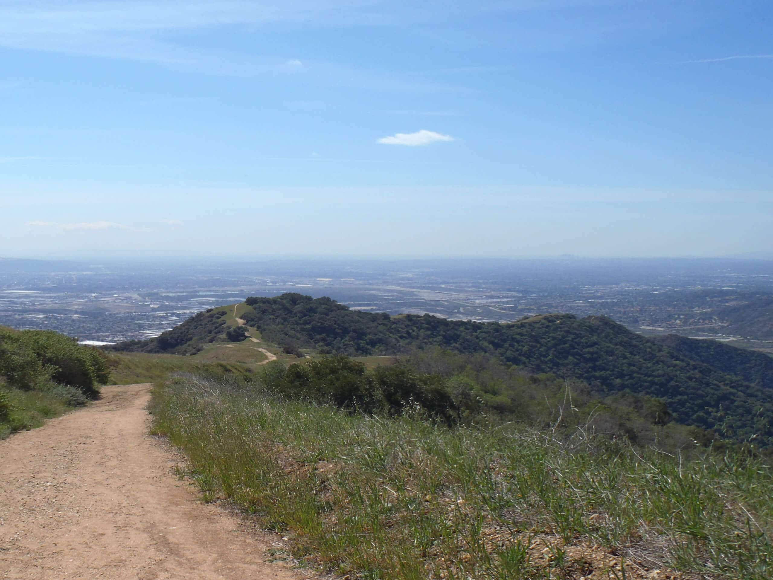
Glendora Ridge Motorway Hike
Difficulty Rating:
The Glendora Ridge Motorway Hike is a laid back, intermediate-length adventure in Angeles National Forest that will lead you along a ridge with scenic views. While out on the trail, you will follow along an old road that can no longer be accessed by vehicles, creating a pleasant path for both hikers and mountain bikers alike. Hikers should take note that the road leading up to the trailhead is closed seasonally, and will require you to reach it by foot during the winter months.
Getting there
The trailhead for the Glendora Ridge Motorway Hike can be found along Glendora Mountain Road, just southwest of Glendora Mountain itself.

About
| Backcountry Campground | No |
| When to do | Year-Round |
| Pets allowed | Yes - On Leash |
| Family friendly | Older Children only |
| Route Signage | Average |
| Crowd Levels | Moderate |
| Route Type | Out and back |
Glendora Ridge Motorway Hike
Elevation Graph
Weather
Glendora Ridge Motorway Hike Description
For those who want to get out into the mountains of Southern California without having to navigate the rugged terrain usually associated with it, the Glendora Ridge Motorway Hike is the perfect option to explore. Make sure to display your adventure pass in your vehicle prior to hitting the trails.
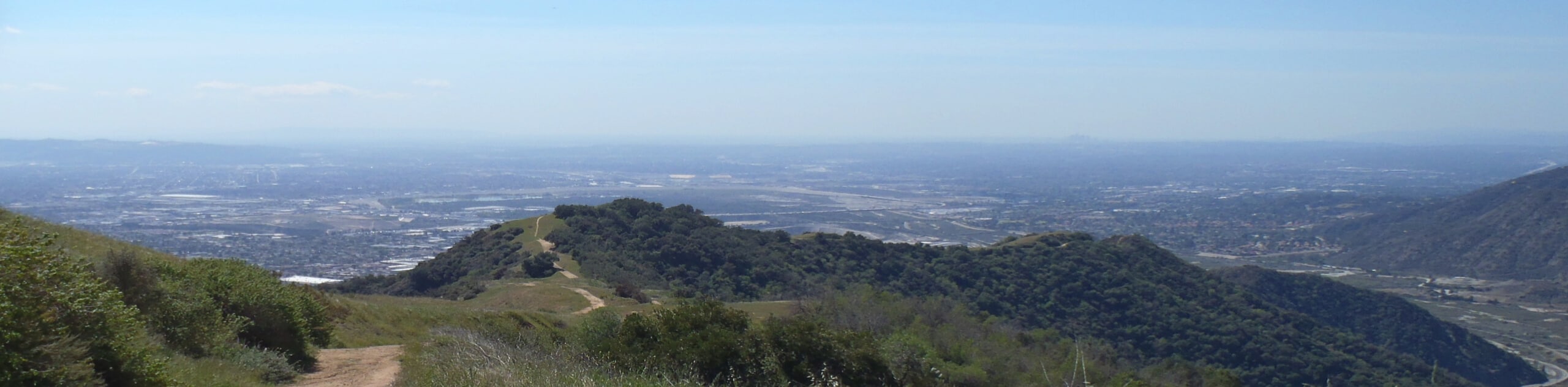
Setting out from the trailhead along Glendora Mountain Road, you will follow the wide track as it leads to the southwest along the ridgeline. As you meander along this elevated position, you will enjoy sweeping views on either side of the ridge, including the city of Glendora to the south and the Morris Reservoir to the north. After reaching the endpoint of the trail, simply turn back and retrace your steps to return to the trailhead.
Similar hikes to the Glendora Ridge Motorway Hike hike

Mount Zion via Lower Winter Creek Trail Loop
The Mount Zion via Lower Winter Creek Trail Loop is a physically demanding Southern California adventure that features waterfall and…

Castaic Falls Trail
Hiking the Castaic Falls Trail is a fun little adventure in the Angeles National Forest that features a charming waterfall.…

Graveyard Truck Trail
Hiking the Graveyard Truck Trail is a pleasant experience in Southern California that features easy-going terrain and views of the…
Comments