Angeles Crest Scenic Byway Hike
View Photos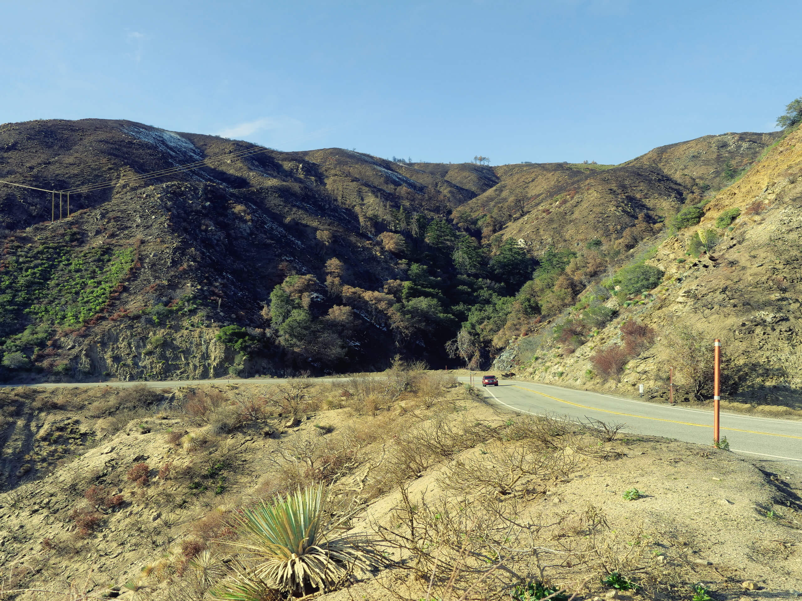
Angeles Crest Scenic Byway Hike
Difficulty Rating:
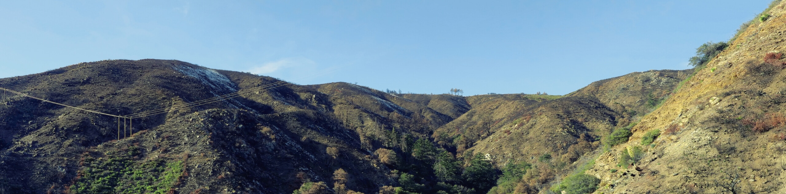
The Angeles Crest Scenic Byway Hike is a great family-friendly excursion in Southern California that follows the Gabrielino Trail alongside Arroyo Seco. While out on the trail, you will traverse a mixture of quiet roads and walking paths, as you take in the beauty of this riverside setting within Angeles National Forest. This is an easy-going, intermediate-length trail that is great if you are looking to spend a few hours outdoors with the kids.
Getting there
The trailhead for the Angeles Crest Scenic Byway Hike can be found at the junction between CA-2 and Gould Mesa Road.

About
| Backcountry Campground | Gould Mesa |
| When to do | Year-Round |
| Pets allowed | Yes - On Leash |
| Family friendly | Yes |
| Route Signage | Average |
| Crowd Levels | Moderate |
| Route Type | Out and back |
Angeles Crest Scenic Byway Hike
Elevation Graph
Weather
Angeles Crest Scenic Byway Hike Description
Easy to navigate and beautifully scenic, the Angeles Crest Scenic Byway Hike is the perfect route near Los Angeles to explore if you want to spend a solid afternoon outdoors taking in the beauty of nature.
Setting out from the trailhead, you will follow along Gould Mesa Road to the southeast, until you arrive at the Gould Mesa Campground. From here, you will turn right onto the Gabrielino Trail and follow it southeast along the edge of Arroyo Seco, a seasonal river that passes through the area.
After crossing Elmersmith Bridge, you will continue to the southeast along the riverbank, before eventually arriving at the edge of the city near Ventura Street. From here, simply turn back along the trail to re-experience the scenery and make your way to the trailhead where you started.
Similar hikes to the Angeles Crest Scenic Byway Hike hike

Castaic Falls Trail
Hiking the Castaic Falls Trail is a fun little adventure in the Angeles National Forest that features a charming waterfall.…

Graveyard Truck Trail
Hiking the Graveyard Truck Trail is a pleasant experience in Southern California that features easy-going terrain and views of the…

Sunset Peak Alternate Approach Hike
The Sunset Peak Alternate Approach Hike is a great intermediate-length route in Southern California that features some gorgeous canyon views.…
Comments