
Gorge della Reina hike
View Photos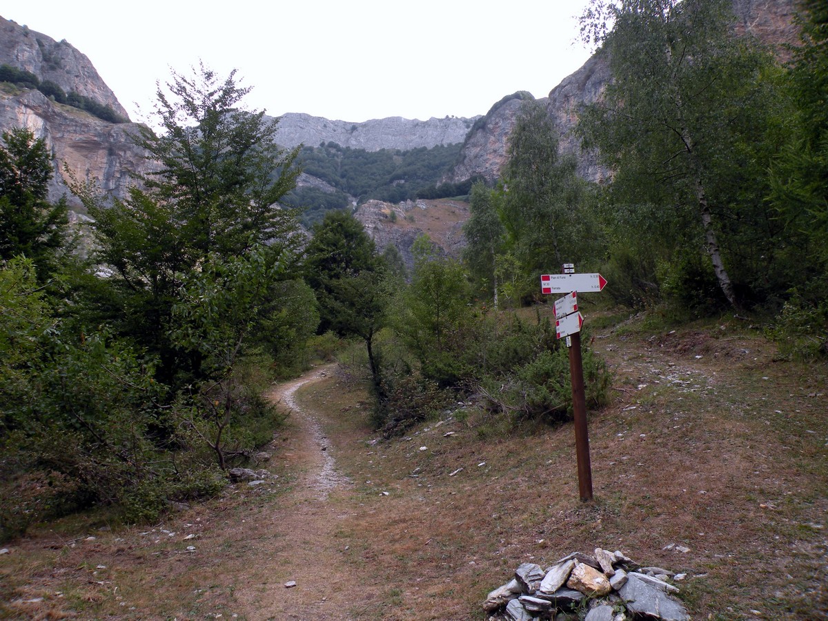

Gorge della Reina hike
Difficulty Rating:
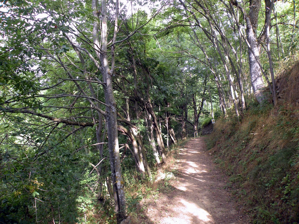
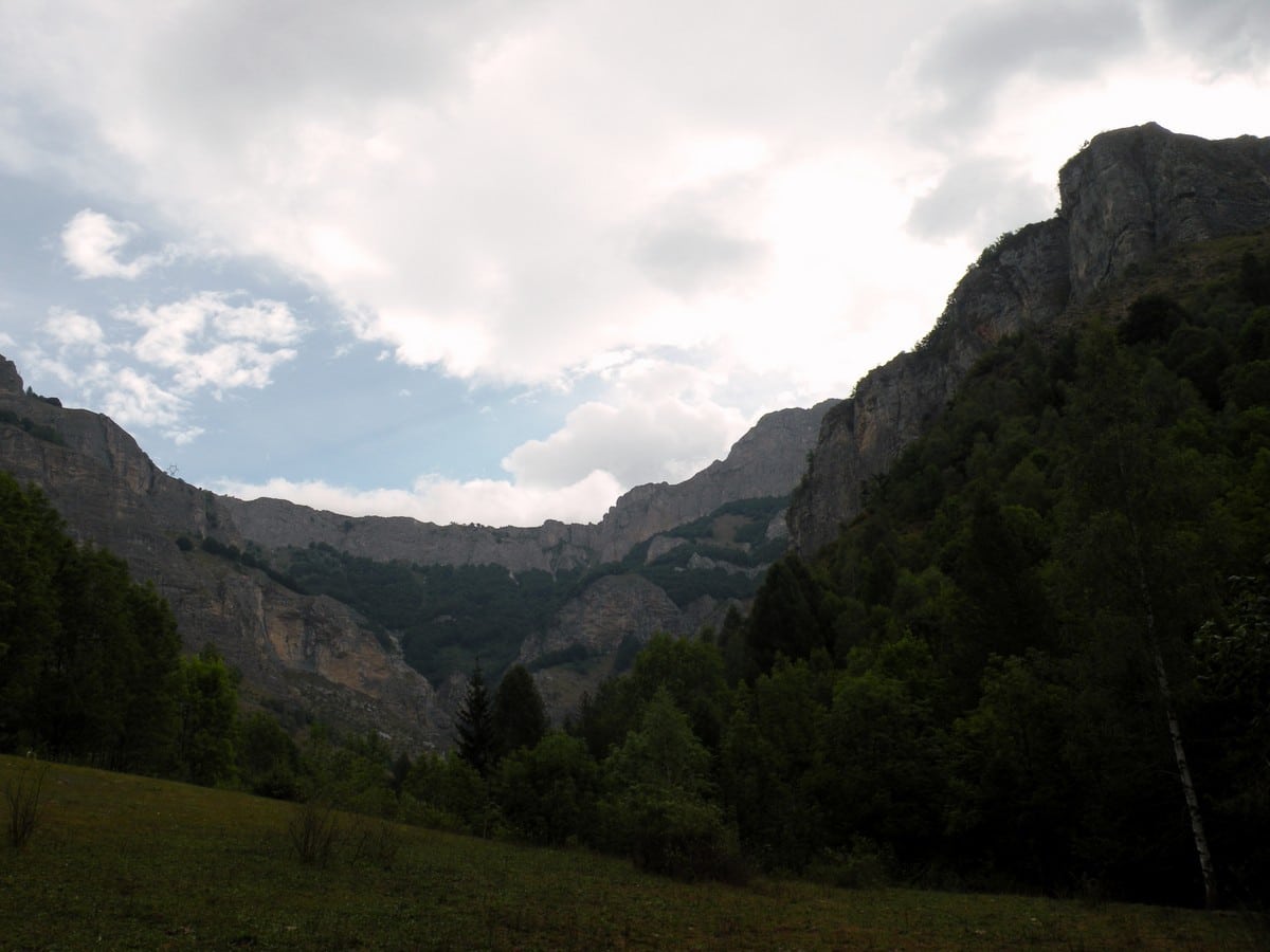
Behind Entracque, the "village between waters", winds the trail that leads hikers to Monte Lausa and the Gorge della Reina (the canyon of the queen), a small canyon dug into the limestone. While you hike the slopes, you can see many species of wild orchids.
Getting there
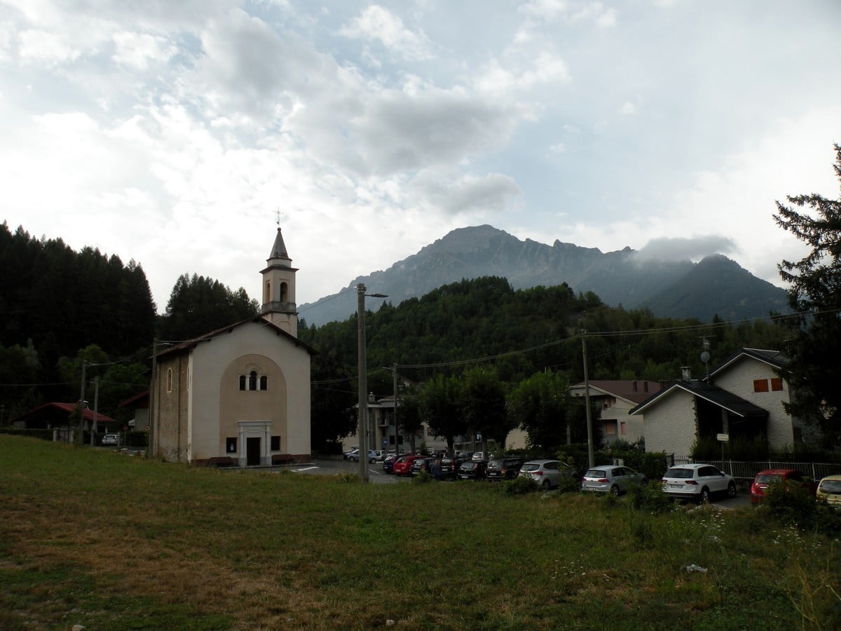
When you arrive in Valdieri go straight and after 1.2mi go left to Entracque. When you arrive in the village, park the car behind the church, a few meters right of the service station.

About
| When to do | April to the end of October |
| Backcountry Campsites | Yes, in Entracque |
| Toilets | Yes, at Entracque |
| Family friendly | Yes |
| Route Signage | Average |
| Crowd Levels | Low |
| Route Type | Out and back |
Gorge della Reina
Elevation Graph
Weather
Route Description for Gorge della Reina
From the parking near the little church, to the left you’ll see a road that goes up. Take this road, and go ahead until you see another little church, Sant’Antonio. On the left there’s a little road you’ll take, that goes up between two new villas. After a few meters it becomes a dirt road.
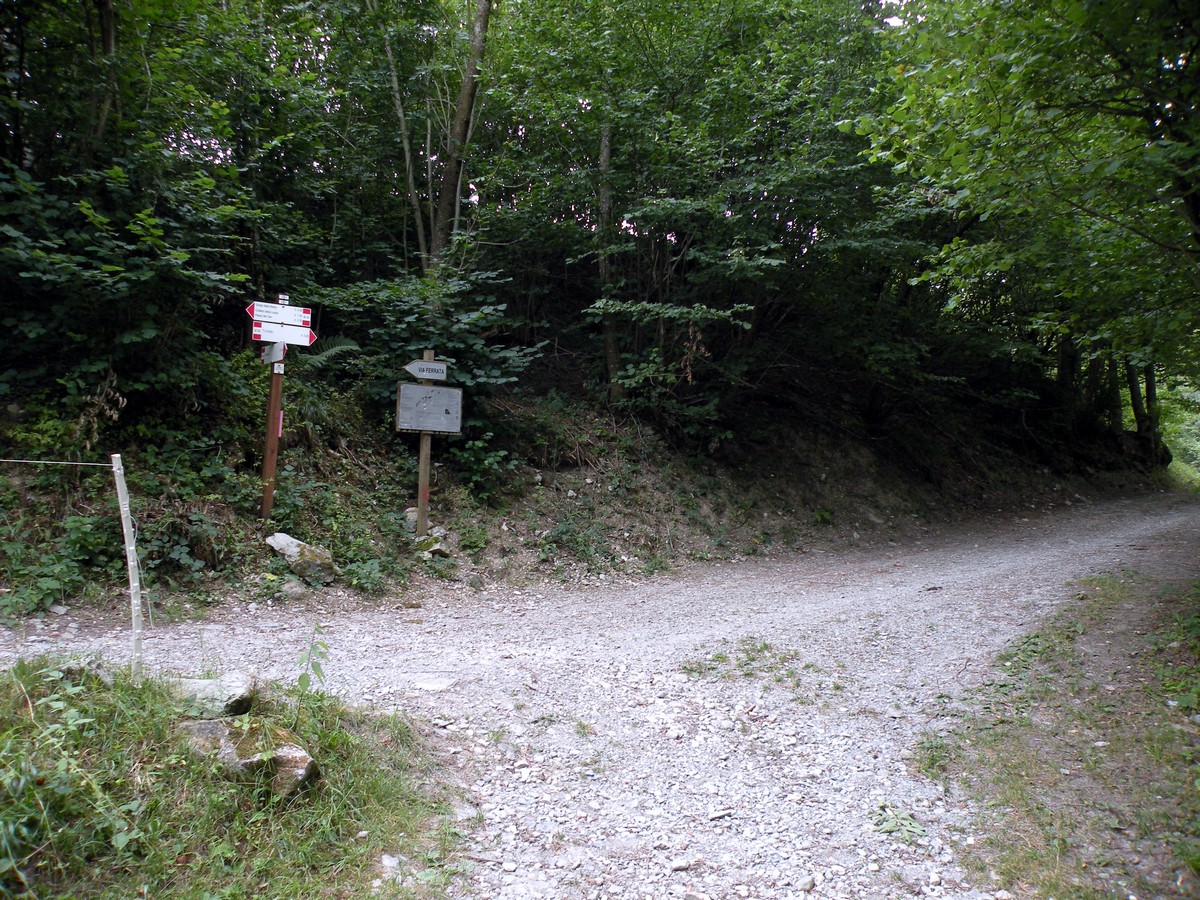
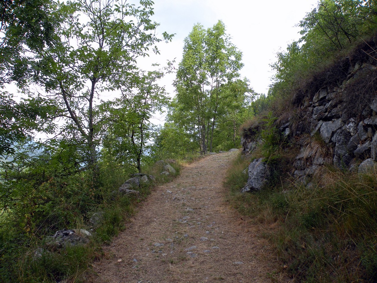
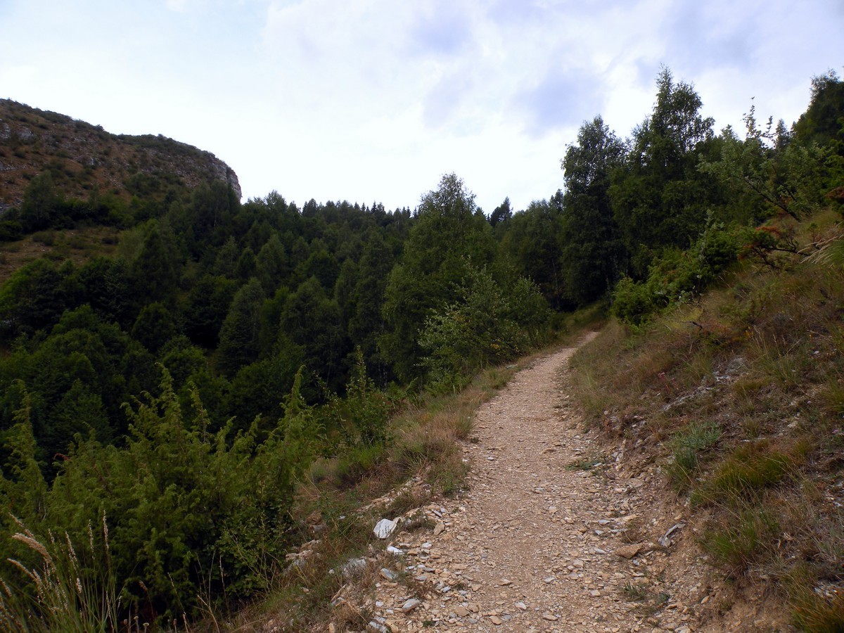
The path winds its way up and, after a panoramic traverse, arrives at a crossroad with the Stramodin path. Go straight and continue on the path until a little bridge.
After few meters you’ll cross a dirt road. Take the left and follow the signs for “Gorge della Reina”.
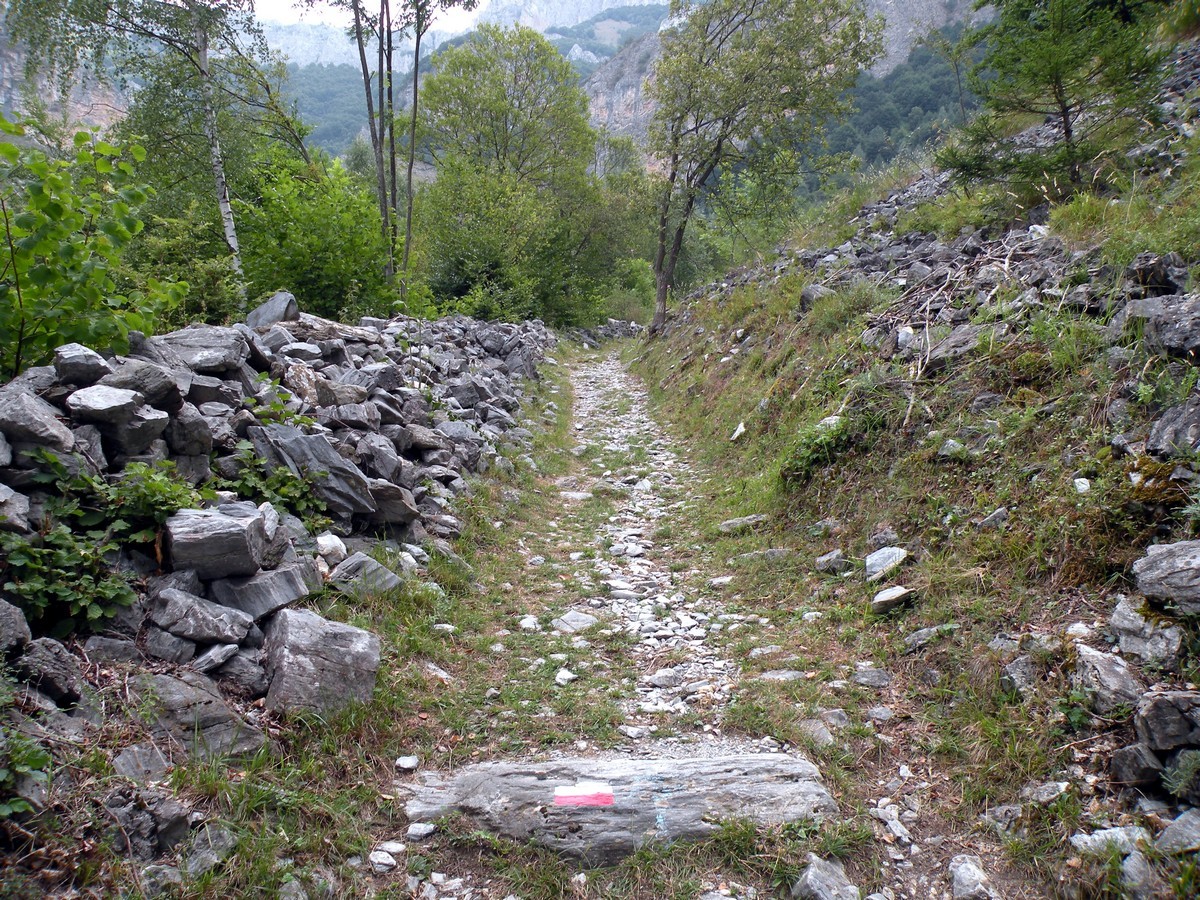
The road goes up and after 328ft you’ll arrive at another crossroad: take a right. The path becomes narrow as it threads between two little walls.
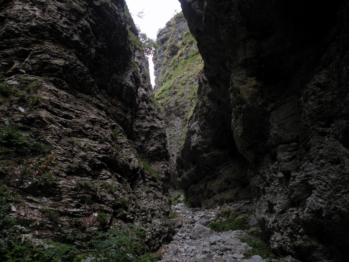
After 15min you’ll arrive at another crossroad, take a left. After that crossroad, on the right, there’s the path that enters into the Gorge della Reina (3773ft).
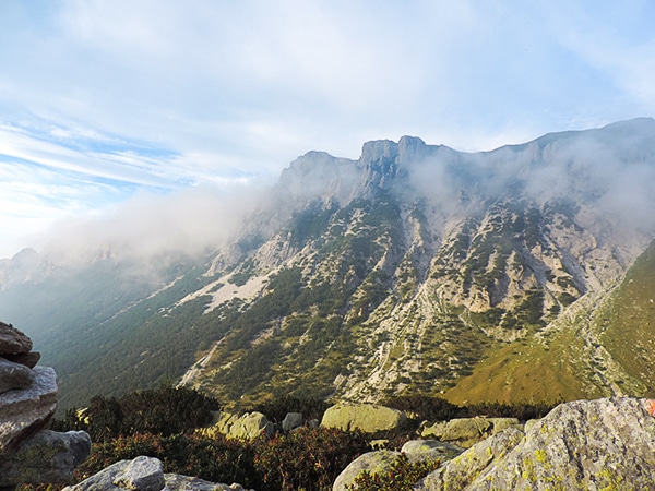
The canyon is spectacular, although it has tight dimensions. In spring or during heavy rain the extra water in the river might make it hard to gain access to the Canyon. Take precautions when entering.
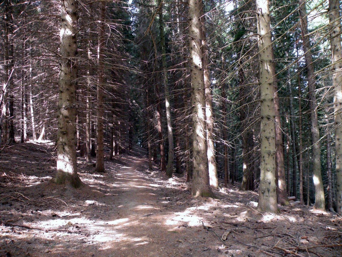
After the visit through the canyon, take the path that goes up on the right. In May and June you can find a lot of wild orchids in this area.
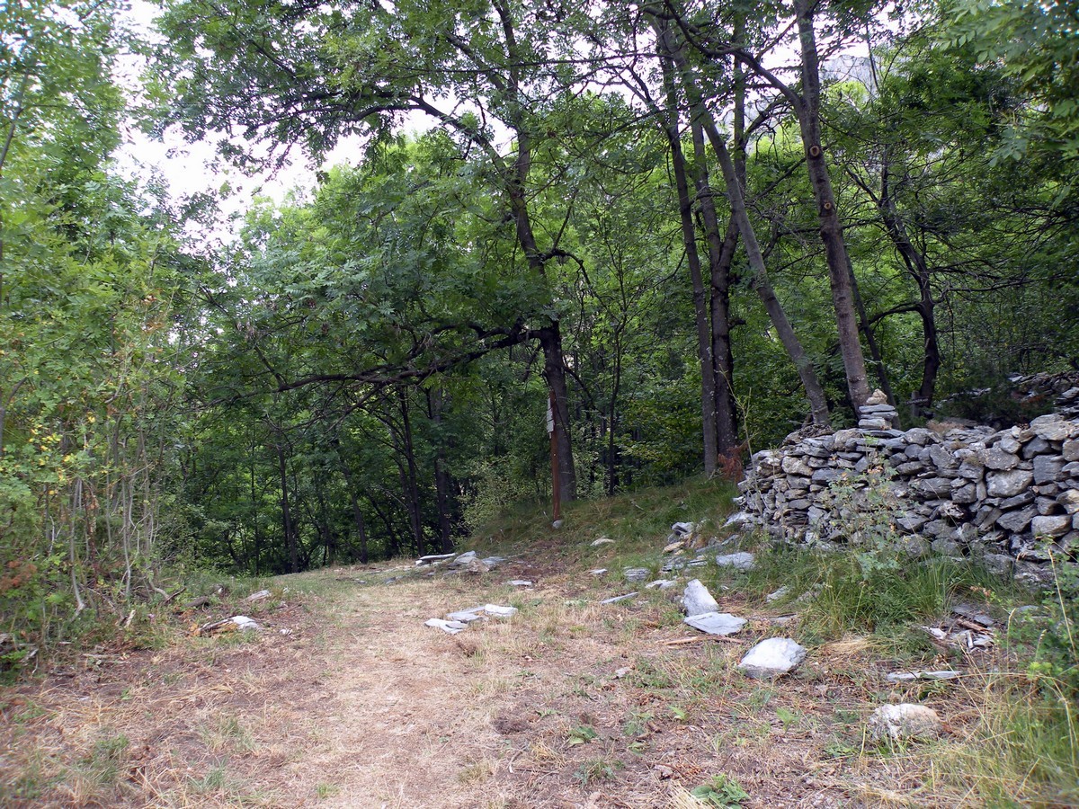
You will eventually arrive at Tetti Stramondin (4029ft). These are some ruins of an ancient hamlet. Over the pass in the woods, you’ll go down and to the right, towards “Colletto della Lausa”.
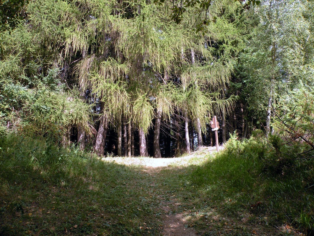
In less than 30 minutes, you’ll reach another pass (4413ft), and you’ll enter a larch forest.
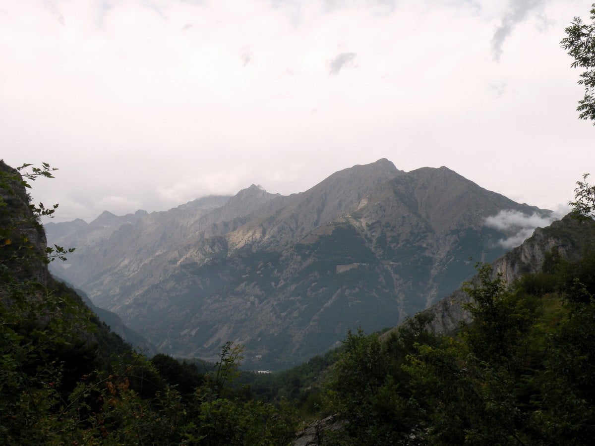
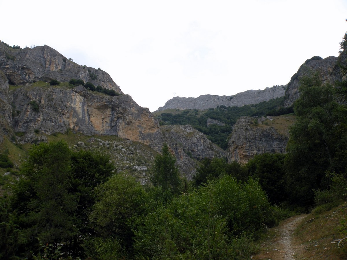
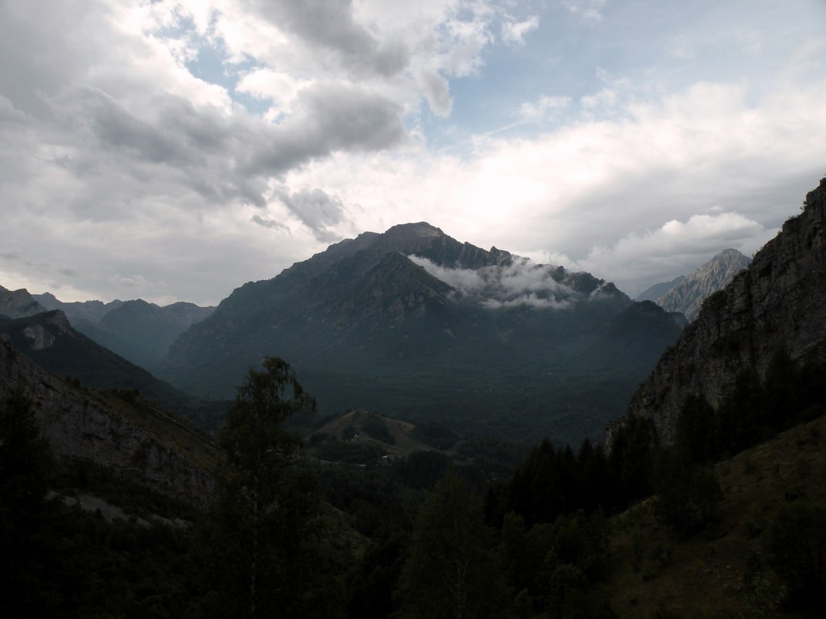
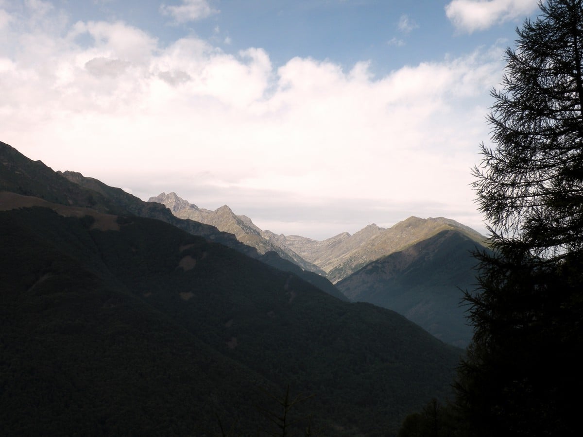
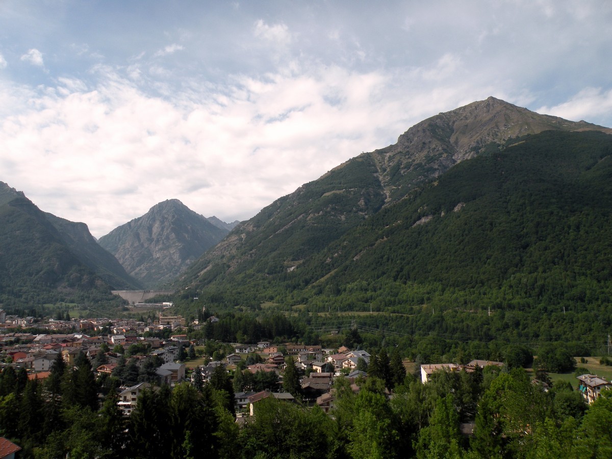
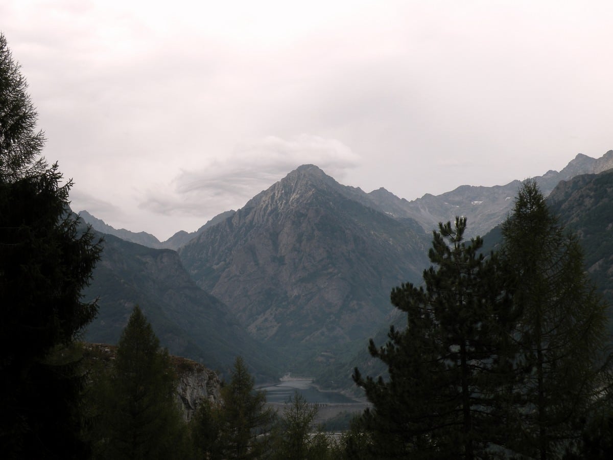
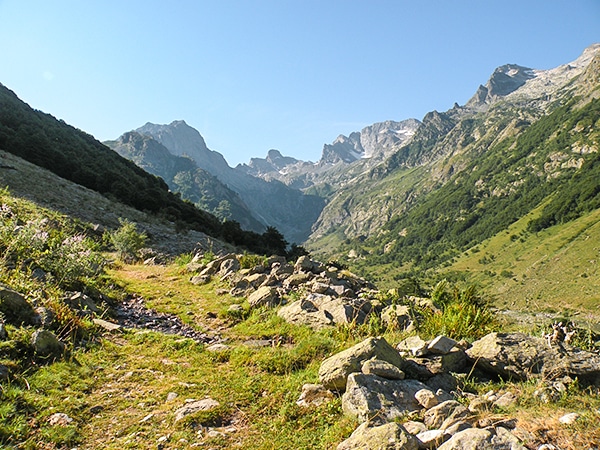
The path goes down numerous bends, and shows off some views of what the Alpi Marittime Park and the village of Entracque have to offer.
At the end, you’ll have great views of Entracque, the Piastra dam, the Vallne Barra and the Lausetto mountain in front of you.
The path back to Entracque will be easy to follow and should bring you back on the other side of town. Walk down the main street until you find that first church you saw coming in and the rest should be familiar.
Insider Hints
From Entracque you can go walking, mountain biking, or swimming, making it a great base camp.
If you’re looking for camping in the region try Campeggio Valle Gesso, Campeggio Sotto il Faggio, or Campeggio Il Bosco.
For a good hotel try Hotel Trois Etoiles. Most rooms have wood paneling. They feel very authentic.

Similar hikes to the Gorge della Reina hike
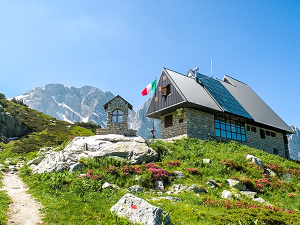
Rifugio Garelli
One of the many great Rifugios to hike to, the Garelli Rifugio is the only Rifugio in Valle Pesio. From…
Laghi Arbergh
The Arbergh Valley (roughly translating to the high meadows) is a particularly interesting place to hike because you’ll walk past…
Lago del Vei del Bouc
The Vei del Bouc Lake is one of the most beautiful lake hikes in Alpi Marittime Natural Park. There’s something…
Francesco D. 4 years ago
a beautiful place and a great hike with a great view of Entracque
TeddyBear 4 years ago
Nice place to spend a relaxing afternoon with natural wonders in every corner
Alexis Schweitzer 4 years ago
Beautiful panorama and splendid view of the dam
Larry I. 5 years ago
Enjoyed the hike. The views I saw while I was traversing were pretty cool. Overall. It was a nice hike. Very good for the elderly and small children.
Danny V. 5 years ago
Stunning views of the slopes! Nice scenery around every bend.
Zachary L. 5 years ago
Gorgeous hike featuring some narrow paths and extensive scenery. Just amazing!
Raymond G. 5 years ago
Fascinating hike. The views from the canyon were stunning. Even the photos I've taken won't give any justice to it.
Tyler D. 5 years ago
Great views and fun trail to hike. My sweet babies 9 and 12 years old were able to complete it without any trouble.
Saanvi Jt 5 years ago
Awesome moderate climb! Slopes are surprising!
Daphne P. 5 years ago
This is a nice hike. It took us 4 hours to finish the hike, but the trail was fairly easy and straightforward. It was a nice, carefree experience.