
Il Piano del Praiet hike
View Photos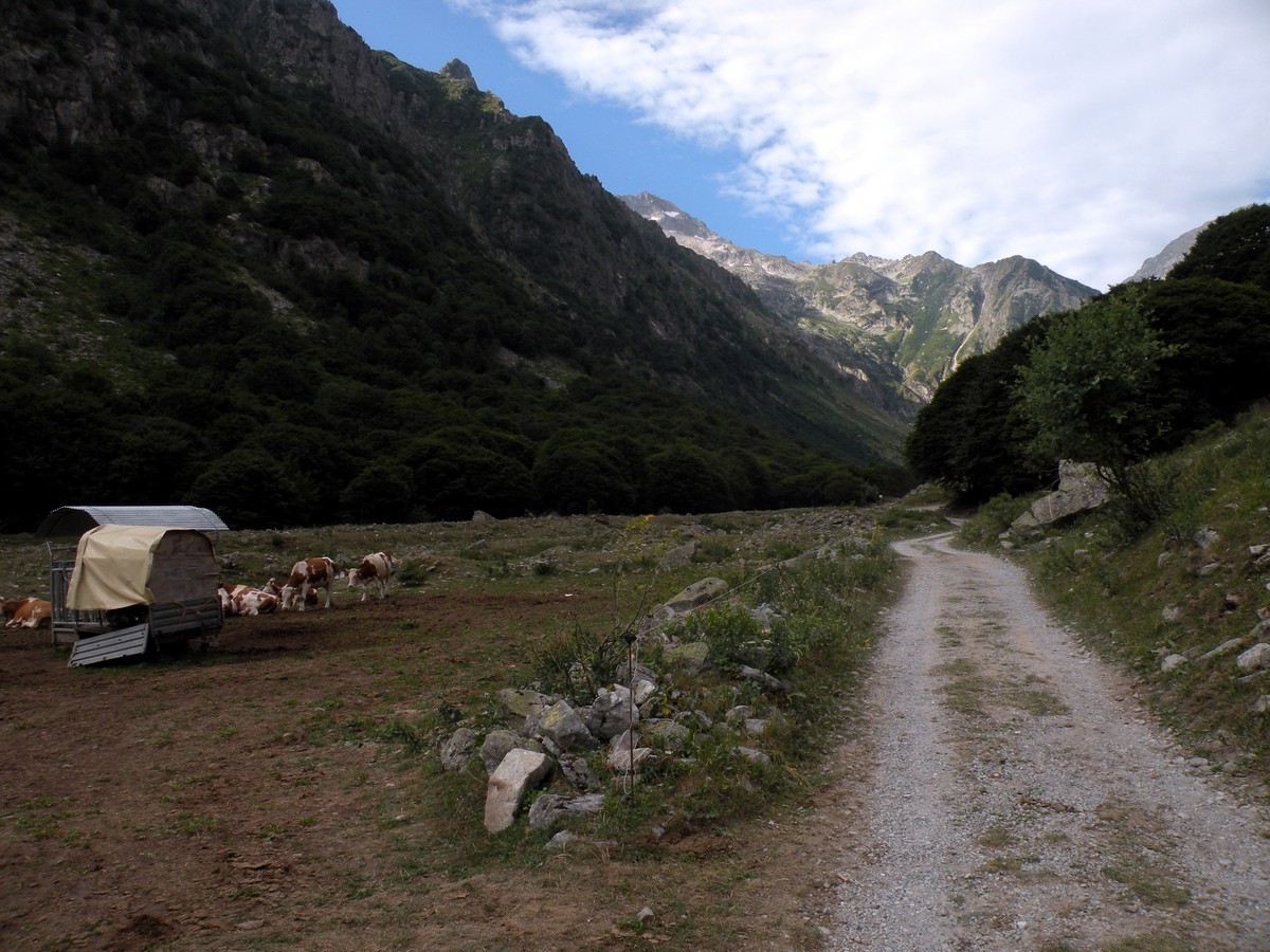
Il Piano del Praiet hike
Difficulty Rating:
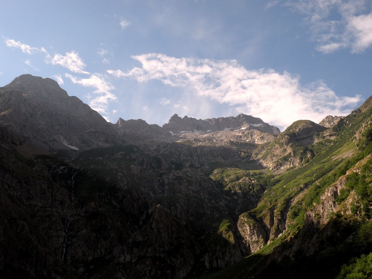
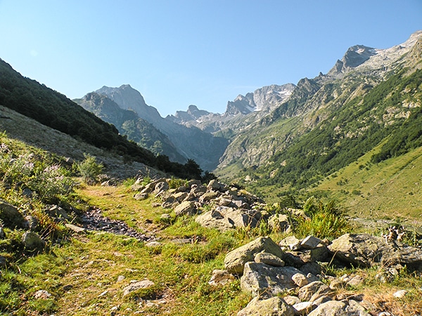
Il Piano del Praiet, at the foot of Mount Gelas, has been a well-known hiking destination in the Alpi Marittime throughout history. On the northern slopes of the Gelas is one of the last glaciers in the Alpes-Marittime fading quickly due to climate change. From there, you can reach the Colle di Finestra, and walk down into France on an old salt-smugglers’ trail.
Getting there
When you arrive in Valdieri, go straight and after 1.2mi go left to Entracque. Then go right to San Giacomo after 3.7mi. You can park the car here. To reach the path, pass the bridge on the left.

About
| When to do | May to end of October |
| Backcountry Campsites | Yes, on site, or in San Giacomo |
| Toilets | Yes, At San Giacomo |
| Family friendly | Yes |
| Route Signage | Average |
| Crowd Levels | Moderate |
| Route Type | Out and back |
Il Piano del Praiet
Elevation Graph
Weather
Route Description for Il Piano del Praiet
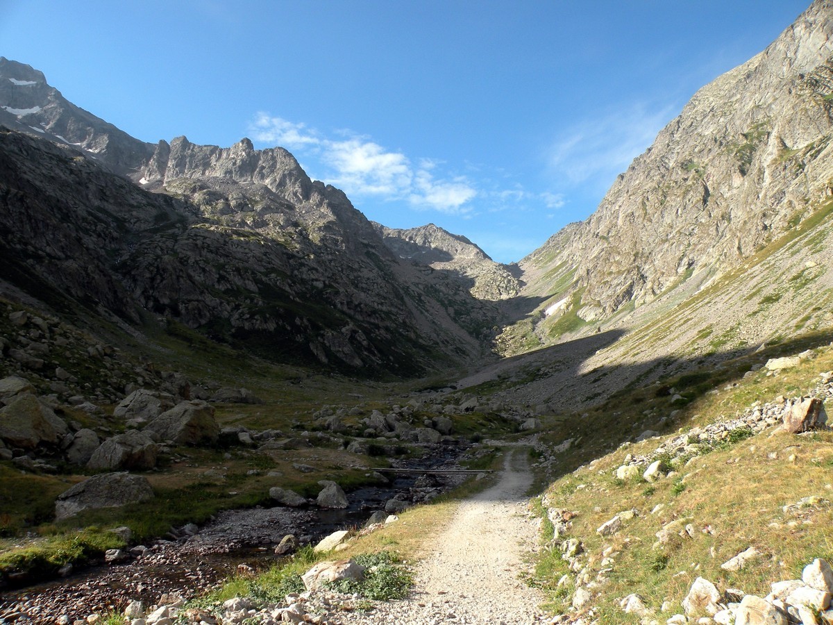
From San Giacomo you take the road that starts between the Rifugios and continues into the beech trees next to the river.
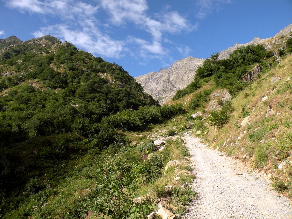
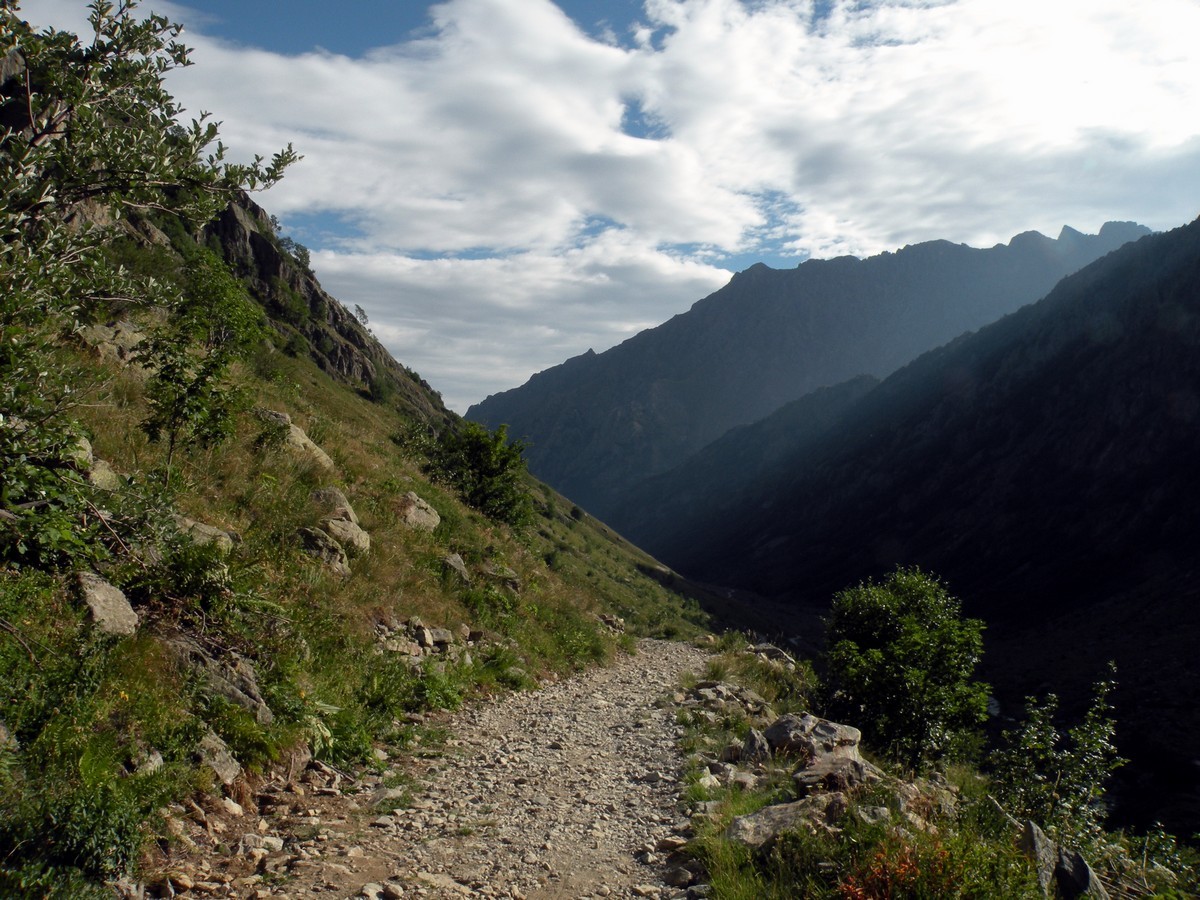
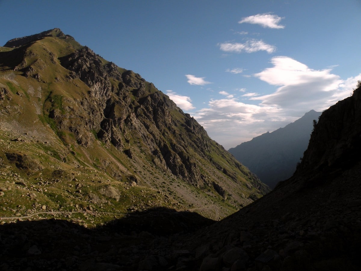
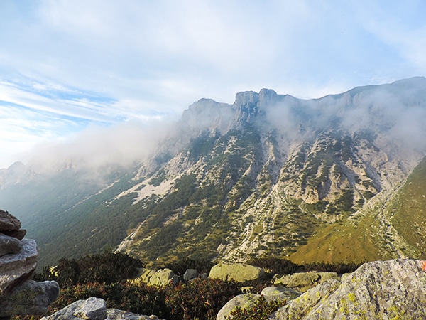
After some bends through the woods, the track opens up to the valley, but the path always follows along the river, making it hard to get lost.
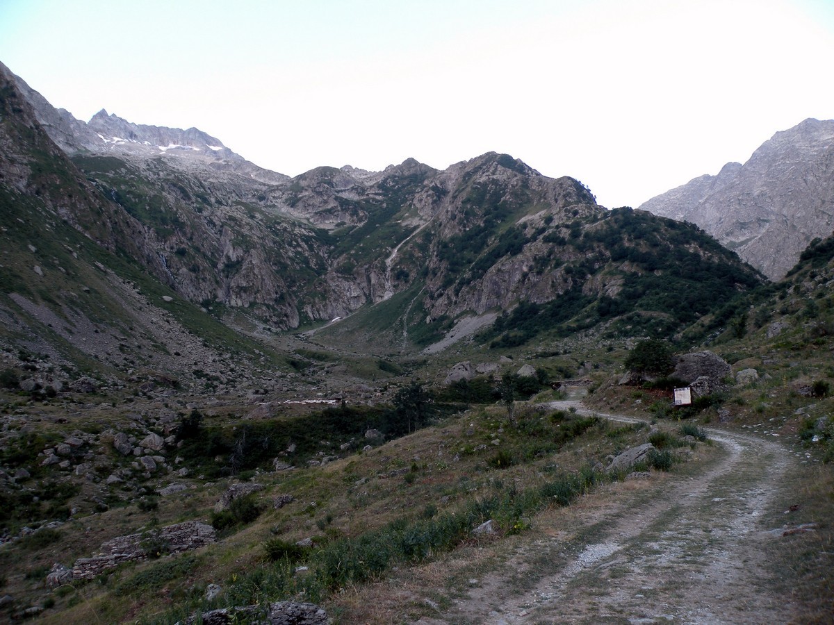
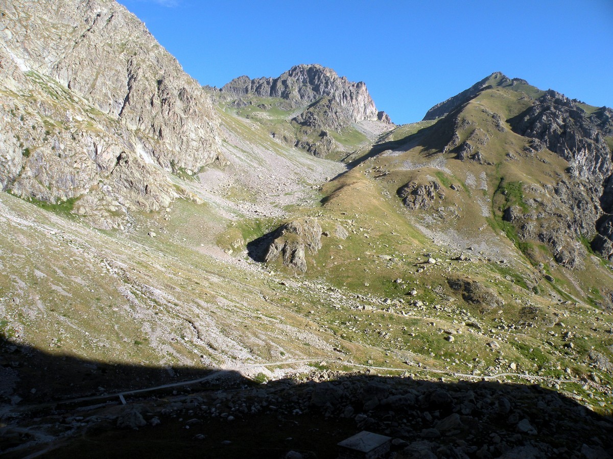
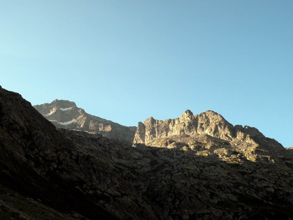
You’ll walk past some pastures up to the Piazzale dei Cannoni. From here you take the track that climbs up. You’ll continue to the Peirastretta canyon and onto the pastures of the Conca del Praiet. Above you sits the Gelas, (10312ft), and the Cougourda, (9583ft). For the local climbers, these mountains have an almost “mythic lore” about them.
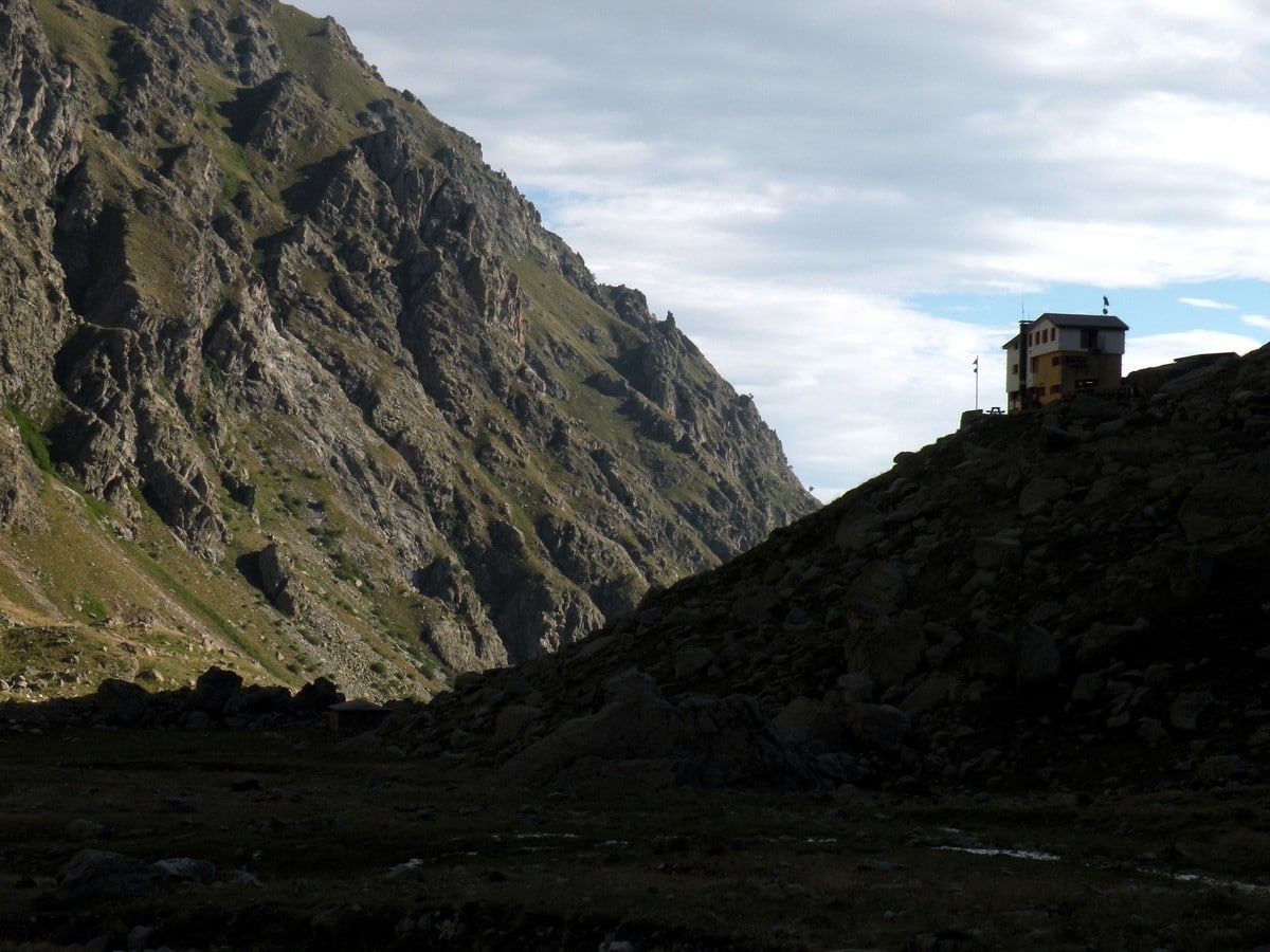
The Rifugio Soria (6037ft) is the end-point of this walk. This Rifugio is one of the most popular Rifugios in the park. It lays atop some rocks on the left of the Praiet.
After a stop at the Rifugio, you’ll return the way you came to get back to your car.
Insider Hints
From the Praiet you can reach two passes: the Passo di Fenestrelle, to the north-west, and the Colle della Finestra, to the south. The Rifugio Soria is also a basecamp when climbing the Gelas, as well as a basecamp for skiers.
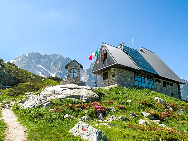
We recommend checking out the Rifugio San Giacomo. They are famous for their stone-milled polenta.
Sotto il Fagio is a great camping option in the area. If you have your own sleeping bag or blankets you can rent tents and air mattresses from them.

Similar hikes to the Il Piano del Praiet hike
Rifugio Garelli
One of the many great Rifugios to hike to, the Garelli Rifugio is the only Rifugio in Valle Pesio. From…
Laghi Arbergh
The Arbergh Valley (roughly translating to the high meadows) is a particularly interesting place to hike because you’ll walk past…
Lago del Vei del Bouc
The Vei del Bouc Lake is one of the most beautiful lake hikes in Alpi Marittime Natural Park. There’s something…
Gilberto Fattore 4 years ago
We did a wonderful walking trail with a great view, recommend to all those who want to spend a moment in nature
Rolando Acciaio 4 years ago
It is a beautiful lake where you can take a nice walk, a place of dreams!
claritam 4 years ago
What a marvelous sight! I felt lucky to see the last glacier in the Alpes-Marittime. I still hope we can somehow reverse climate change.
Manny D. 5 years ago
Splendid views, nice and easy trail. It took me 17080 steps to complete this hike.
Chloe P. 5 years ago
Took us about 7 hours to complete this hike. The weather was perfect, and the trail was in good condition. I highly recommend it!
Bridget Mcbride 5 years ago
Amazing location. After checking out the campsites, we're planning to camp for a day or two next time.
Cindhy Klins 5 years ago
Simply amazing! There are a variety of things to see on this hike like beautiful mountain peaks and a few glaciers.
Tyler D. 5 years ago
Classic hike in the park! remarkable scenery. Not that hard. Lots of photo opportunity.
Scott P. 5 years ago
The northern slopes have enormously changed throughout the years because of climate change. It's so sad.
Jacob M. 5 years ago
I had a carefree early morning walk in the woods. It's a different world during that time. More quiet and pure nature at its finest.