Laghi Arbergh hike
View Photos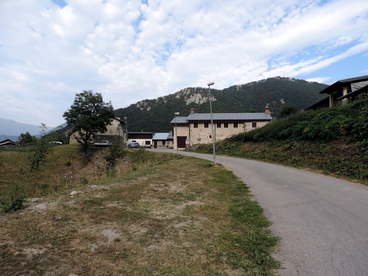
Laghi Arbergh hike
Difficulty Rating:
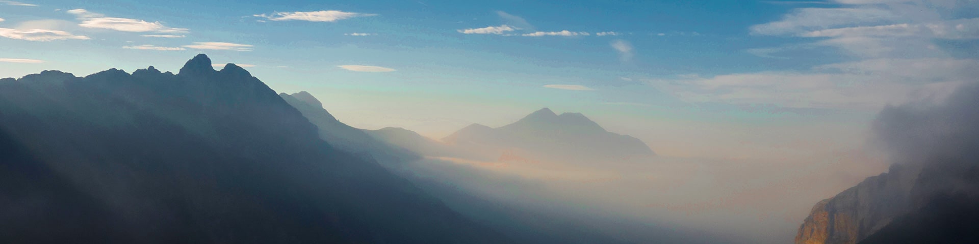
The Arbergh Valley (roughly translating to the high meadows) is a particularly interesting place to hike because you’ll walk past many different landscapes in a few kilometers, dominated by limestone, sandstone, beech forests, lush meadows, and more. This high biodiversity allows visitors to observe many endemic plants.
Getting there
Find Vernante, and when you do go right at the traffic light. After 9km you’ll reach the hamlet of Palanfrè (4528ft). You can park the car here in a lot.

About
| When to do | June to end of October |
| Backcountry Campsites | Yes, in Limone Piemonte |
| Toilets | Yes, in Palanfrè |
| Family friendly | No |
| Route Signage | Average |
| Crowd Levels | Moderate |
| Route Type | Out and back |
Laghi Arbergh
Elevation Graph
Weather
Route Description for Laghi Arbergh
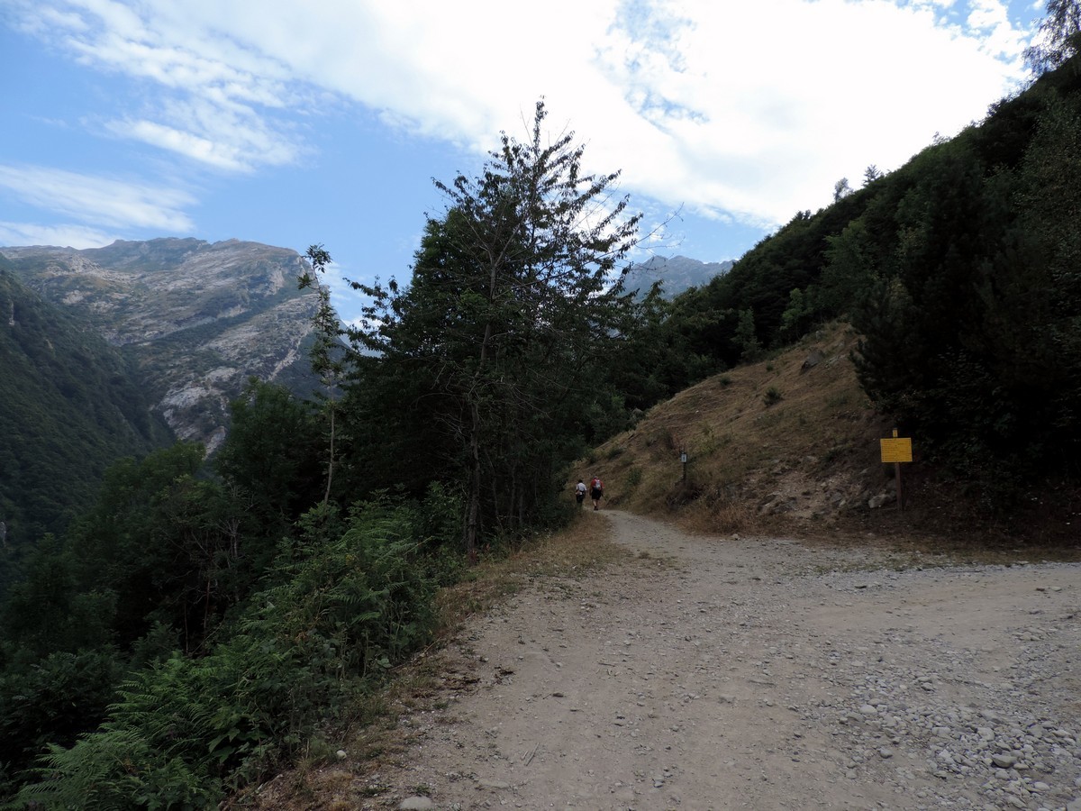
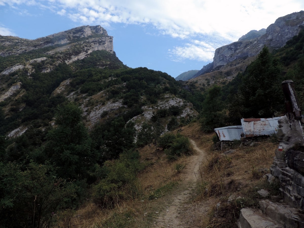
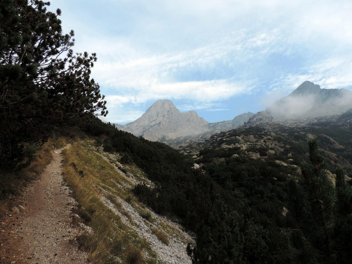
To reach the path from the parking lot, walk towards the hamlet. Once you’re in the village of Palanfrè go right and continue along the road past the buildings. The path will climb up the valley. After about 5 minutes the road turns, and curves to the right: don’t follow it. In front of you a somewhat smaller trail continues to the Laghi Arbergh.
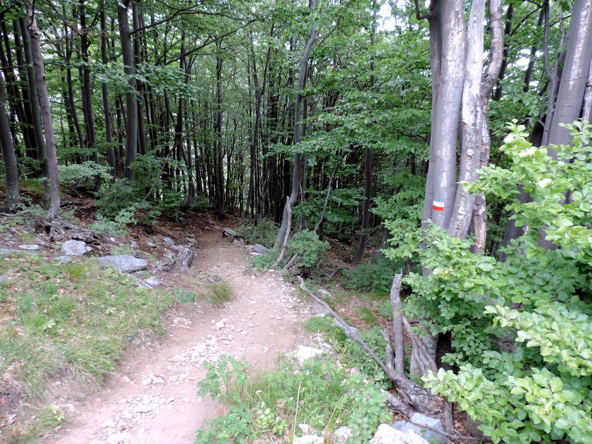
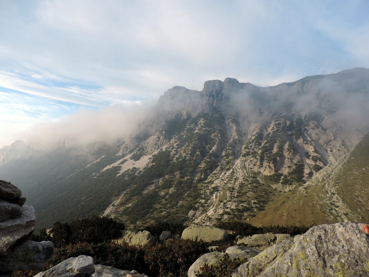
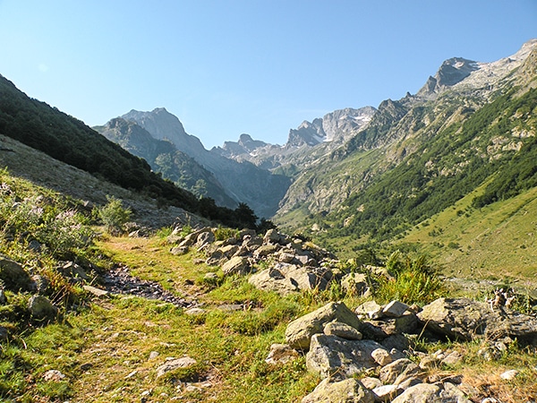
The trail passes through the woods and onto some pastures and shrubs until you reach Fontana Piamian. Then it climbs into the narrow valley and curves to the left, passing the dry streambed and climbing through some beech trees.
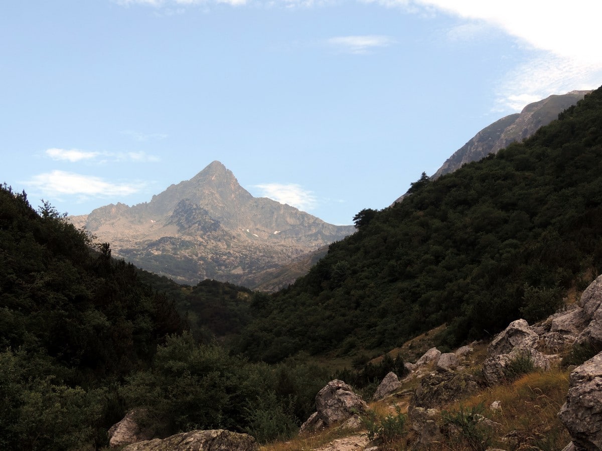
After 15-20 minutes you’ll come across another grassy area bellow the Lausea Cliff. After admiring the size of the cliff, you can continue along the valley.
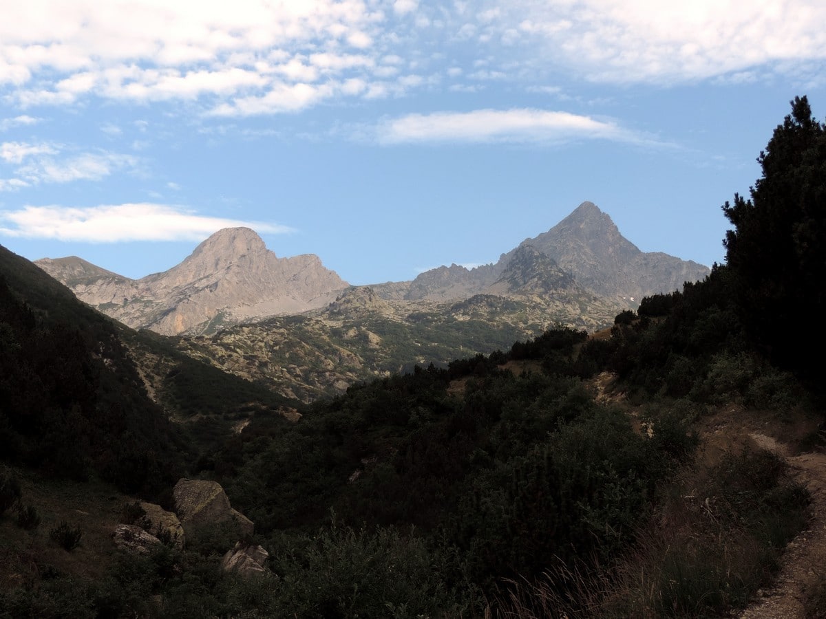
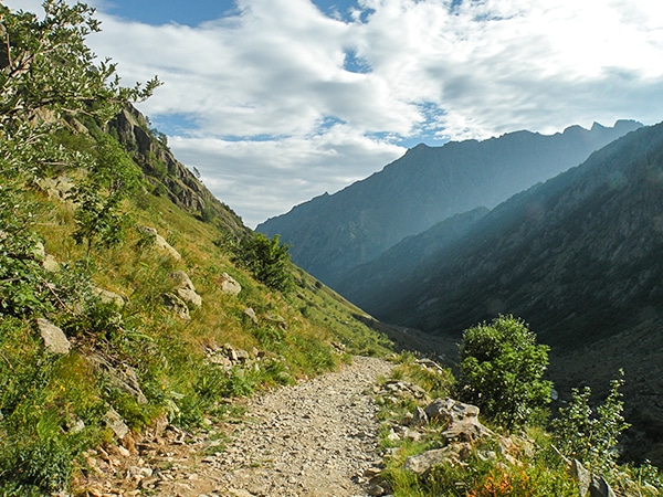
After the cliff, the trail will make two bends and then up you go, out of the valley, on a steep trail.
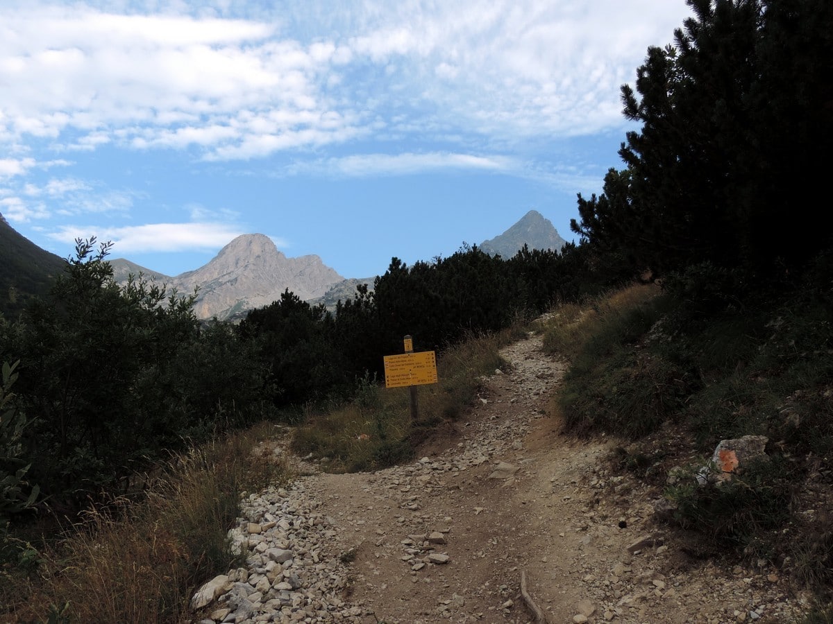
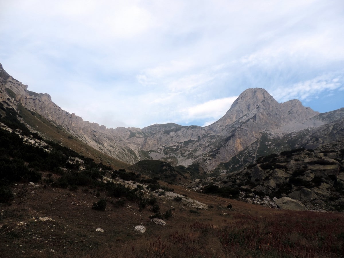
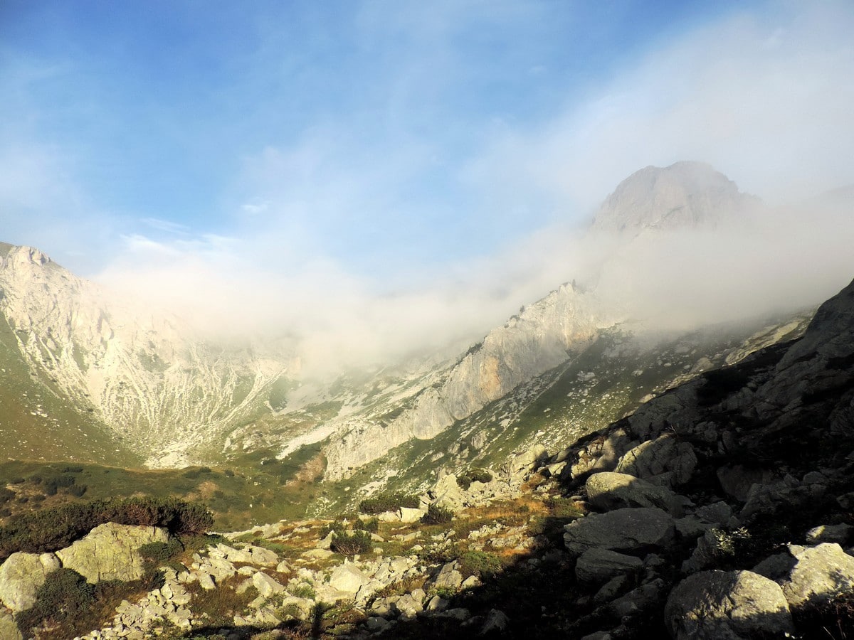
After another 15-20 minutes you’ll reach a crossroads: the left, goes to the Lago Arbergh, and the right goes to the Lagni del Frisson. The direction isn’t so important because it is a loop. We prefer to go left.
Going left you get to the Lago Villazzo first. Then, going up the steep trail you’ll enter a wood of mugo pines. After about 20-25 minutes you’ll come upon a valley between some grasslands. You’ll see the hollow of the Lago Arbergh. (6690ft).
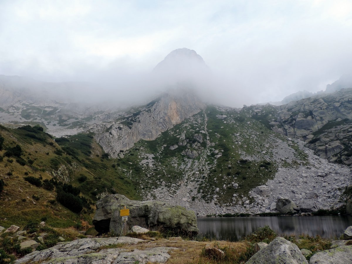
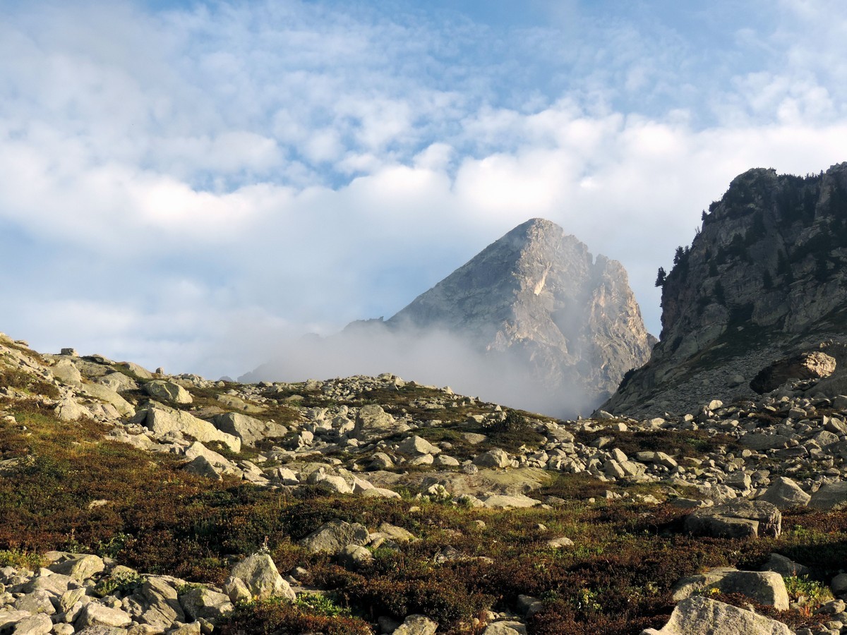
Now you will continue your loop going right, following the orange or red and white signals. The trail is a bit difficult because there are some big rocks to work around but it isn’t a very long journey to Lago Frisson.
Once you’ve enjoyed the views at your second alpine lake, keep going right until you reach the crossroad you started this little loop at. Take the path back down the way you came.
Insider Hints
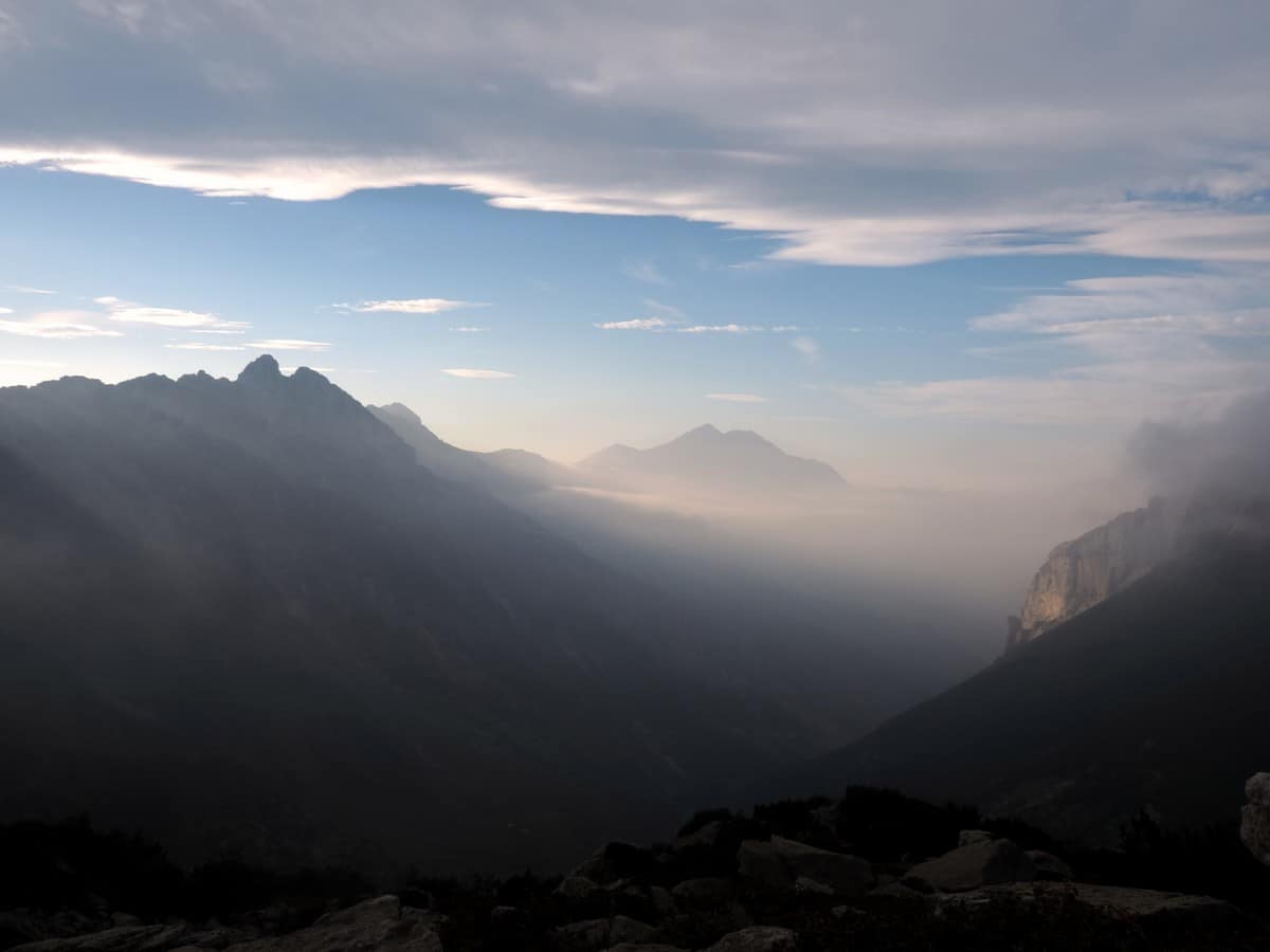
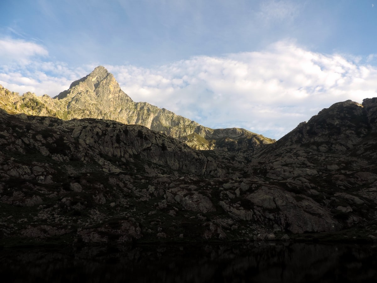
From the Lago Arbergh you can reach the Passo di Ciotto Mien at 7802ft. This has a short, and dangerous section and is not recommended except for experienced scramblers. From the pass you can go to Limone Piemonte and the Colle di Tenda.
If you’re into climbing you can get to the Chiamossero peaks from here (7946ft).
From the Lago Frisson you can reach the Passo della Mena (7221ft) that overlooks the Gesso valley.
You can stay in Palanfrè if you like. We recommend the Locanda L’Arbergh. Its rooms are simple, but their meat and cheese boards are amazing.

Similar hikes to the Laghi Arbergh hike
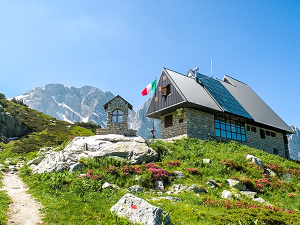
Rifugio Garelli
One of the many great Rifugios to hike to, the Garelli Rifugio is the only Rifugio in Valle Pesio. From…
Lago del Vei del Bouc
The Vei del Bouc Lake is one of the most beautiful lake hikes in Alpi Marittime Natural Park. There’s something…
Il Piano del Praiet
Il Piano del Praiet, at the foot of Mount Gelas, has been a well-known hiking destination in the Alpi Marittime…
Matilda86 4 years ago
Beautiful panorama and splendid view of the valley
TeddyBear 4 years ago
Fabulous place with a great view
Rolando Acciaio 4 years ago
Beautiful experience and a beautiful place
Gilberto Fattore 4 years ago
A beautiful place and the lake is simply breathtaking
claritam 4 years ago
We had perfect bright weather, so we were able to see all the beautiful views in its full glory.
Tyler D. 5 years ago
The topography of this hike is impressive. Noticed some rare plants and other cool stuff along the way.
Ari Kudson 5 years ago
It was a truly amazing hike. The landscapes were incredible. One of the best-underrated trails.
Laura K. 5 years ago
The first ray of the morning sun is magical. Everything about this place is just surreal!
MariaWalks 5 years ago
I found this hike to be a little too hard for me. the last steep trail up was hard.