Rifugio Pagarì hike
View Photos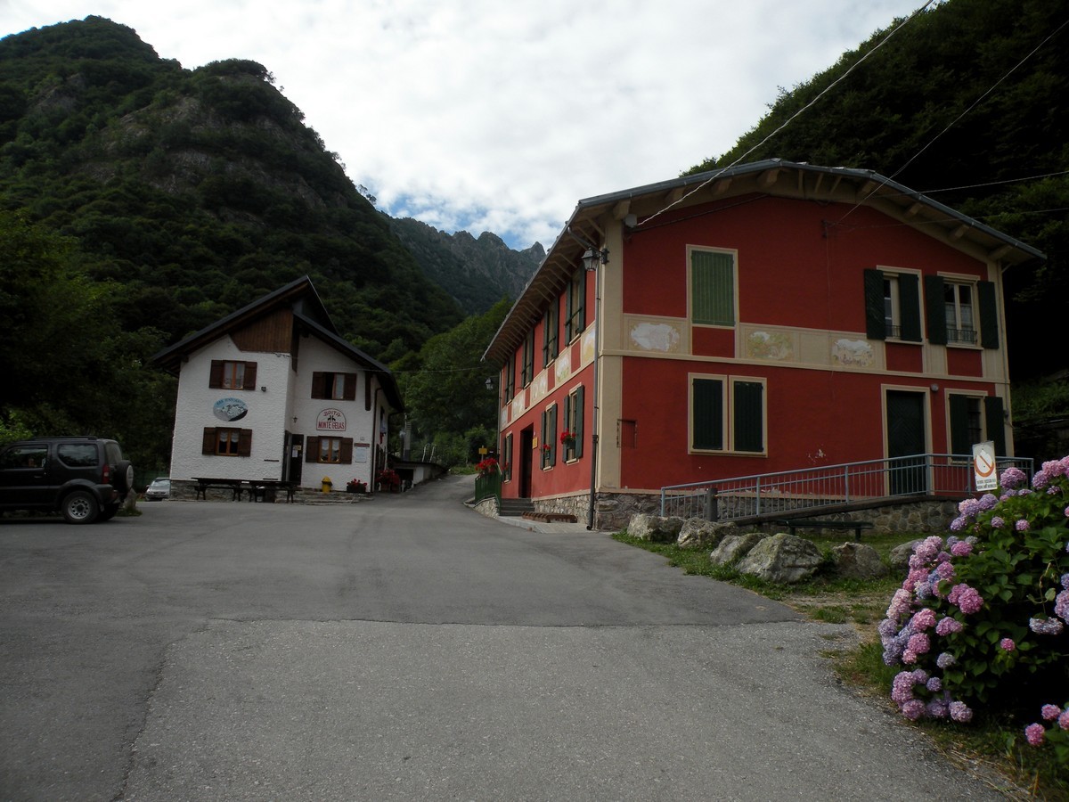
Rifugio Pagarì hike
Difficulty Rating:
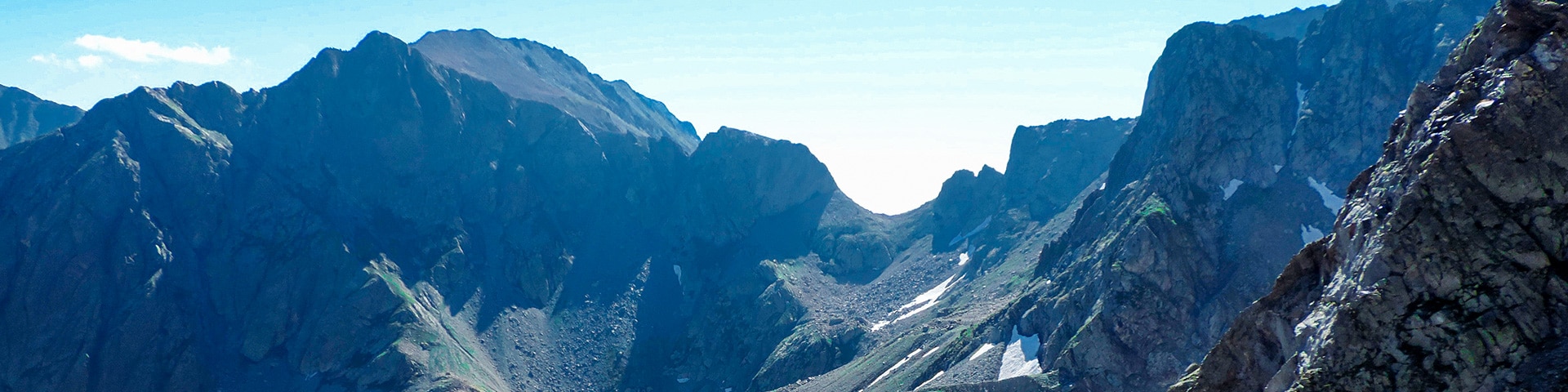
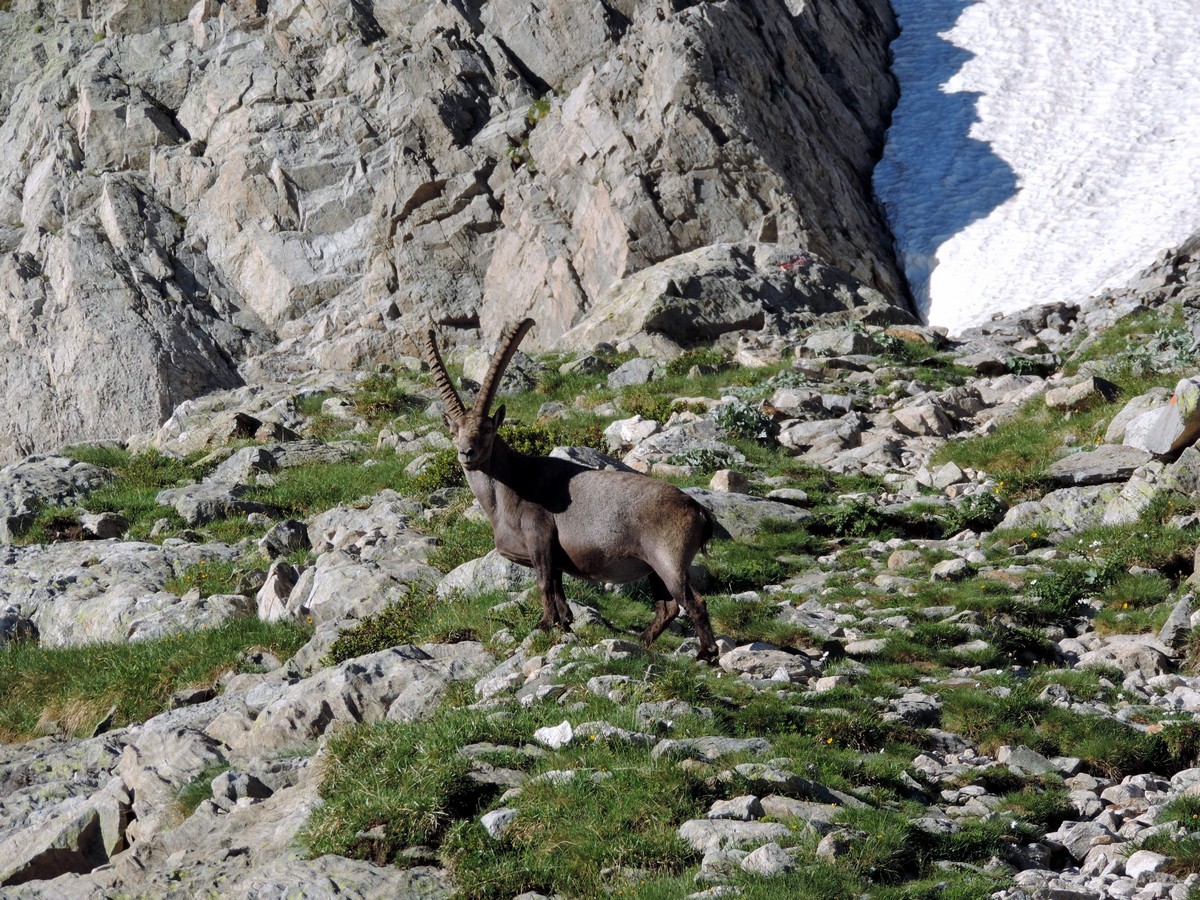
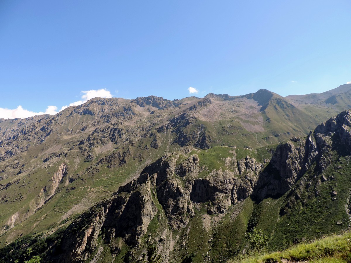
The Pagarì Rifugio is the highest Rifugio that you can hike to in the Alpi Marittime. If you stay at the Rifugio there are many activities to do. Alpinists can climb up some of the peaks, or you can observe ibex and alpine rock ptarmigan. If you are looking for silence and a low impact philosophy a hike and stay here is perfect for you.
Getting there
When you arrive in Valdieri, go straight and after 1.2mi go left to Entracque. Then you’ll go right to San Giacomo after 3.7mi. You can park the car here. To reach the path, pass the bridge on the left.

About
| When to do | June to early October |
| Backcountry Campsites | Yes, in San Giacomo |
| Toilets | Yes, in San Giacomo or in the Rifugio |
| Family friendly | No |
| Route Signage | Average |
| Crowd Levels | Moderate |
| Route Type | Out and back |
Rifugio Pagarì
Elevation Graph
Weather
Route Description for Rifugio Pagarì
From the start of the hike until you reach the Pian del Rasur, you’ll follow path no.7.
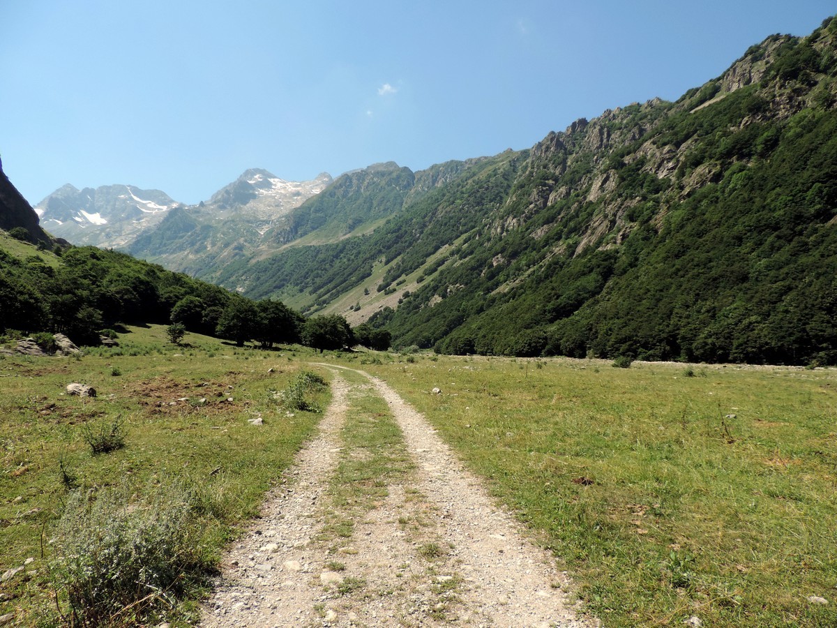
From San Giacomo you’ll take the road that crosses over the bridge on the left. This will soon pass some ancient hunting lodges that are now summer retreats.
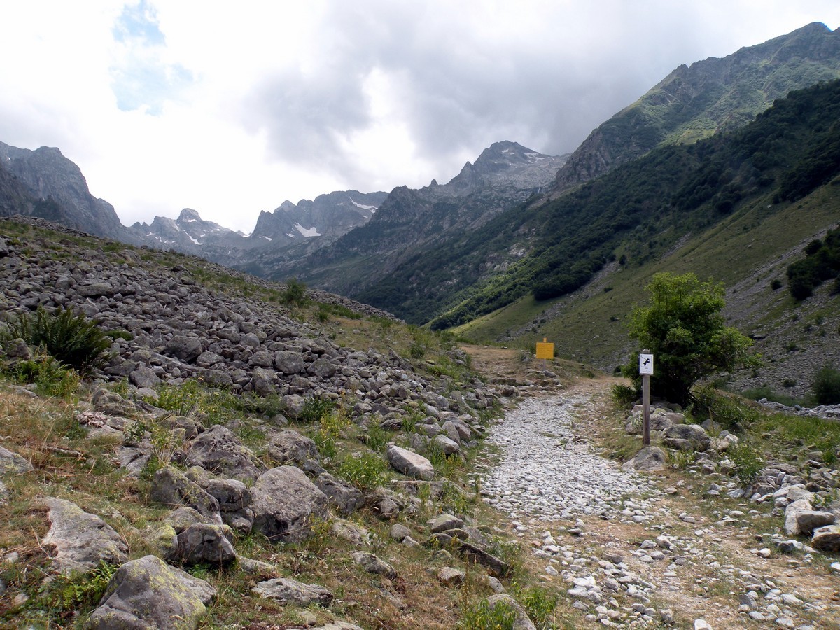
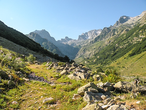
From here, you’ll take the track for about 1.9mi. First, you’ll walk through a forest of beech trees then, you’ll be looking over the Prà del Rasur, (4633ft) across grasslands, and pastures.
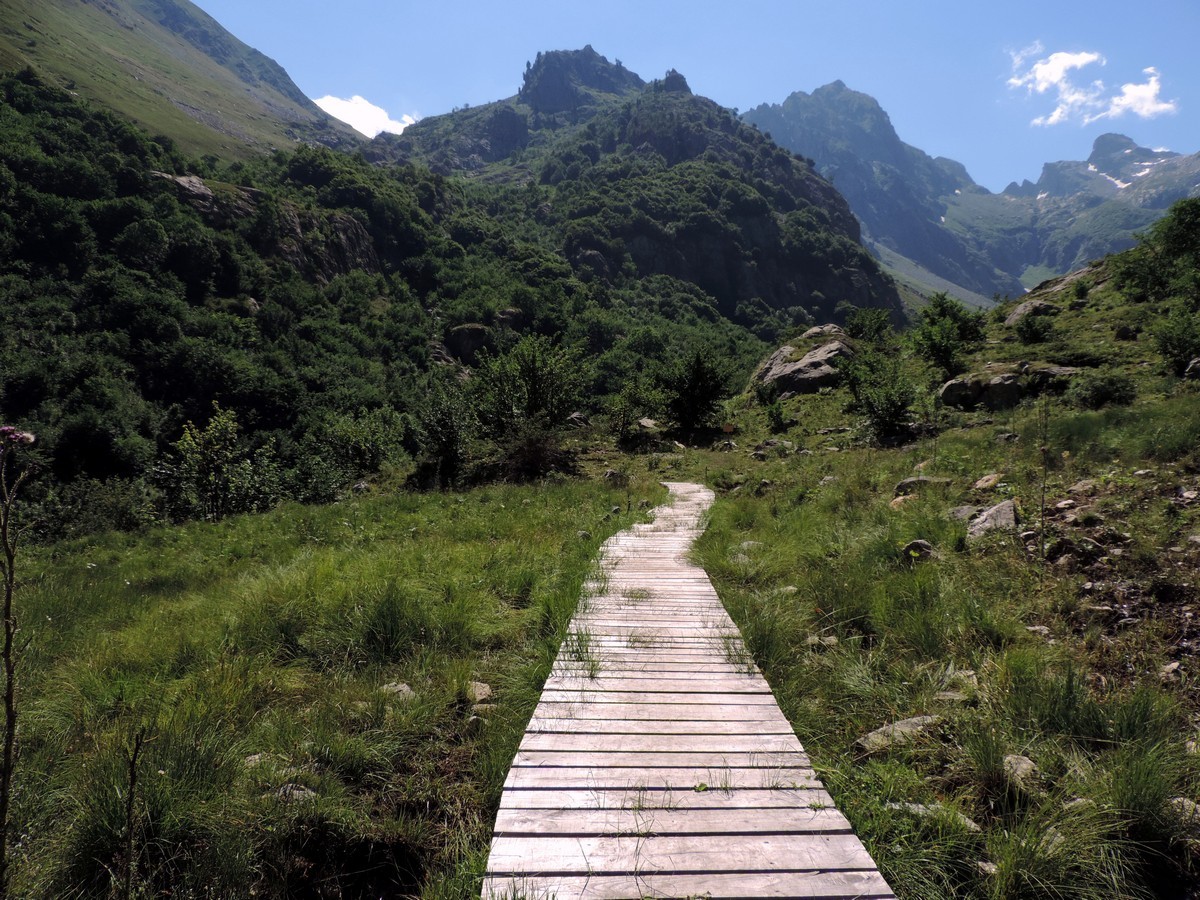
At the end of the plain, after 1-1.5h from the start, a path will leave to del Vej del Bouc on the left. Ignore that. The trail to your right is named M13. As you follow that, it’ll cross the Gesso stream over a little bridge. You’ll resume a gradual climb to a trail marker (4921ft).
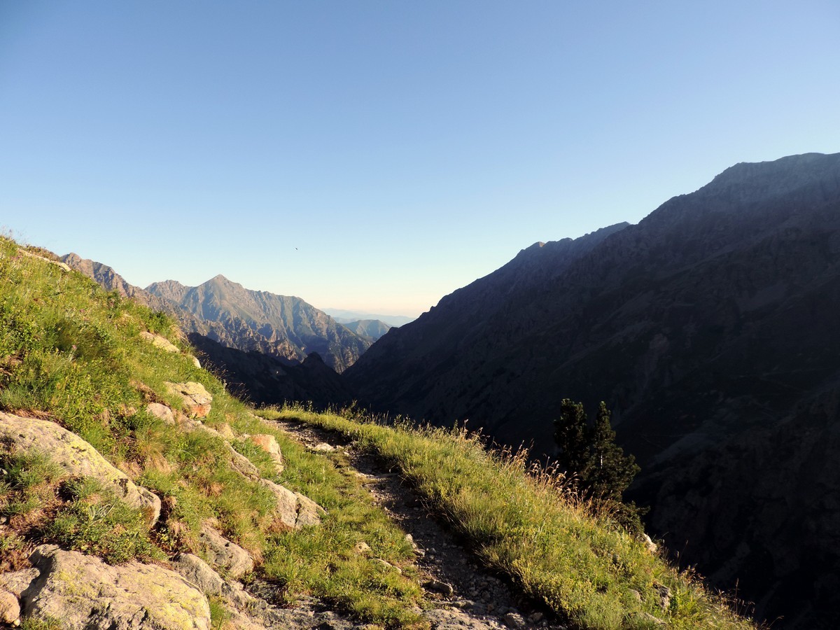
From this marker you will go right on the path to Bivacco Moncaliere, then you’ll go to Rio Pantacreus (5020ft). You’ll climb higher, staying along the Gesso stream.
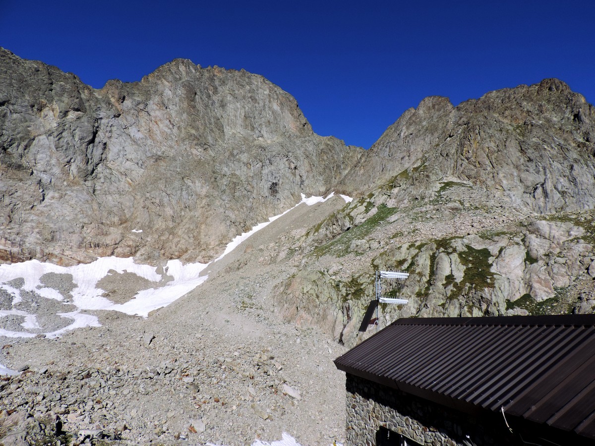
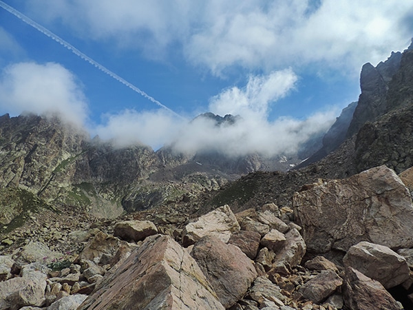
At trail marker 5102ft you will go right. Here the trail will really start to switchback. Higher and higher you go until you reach the rock wall of the Passo sottano del Muraion (6726ft).
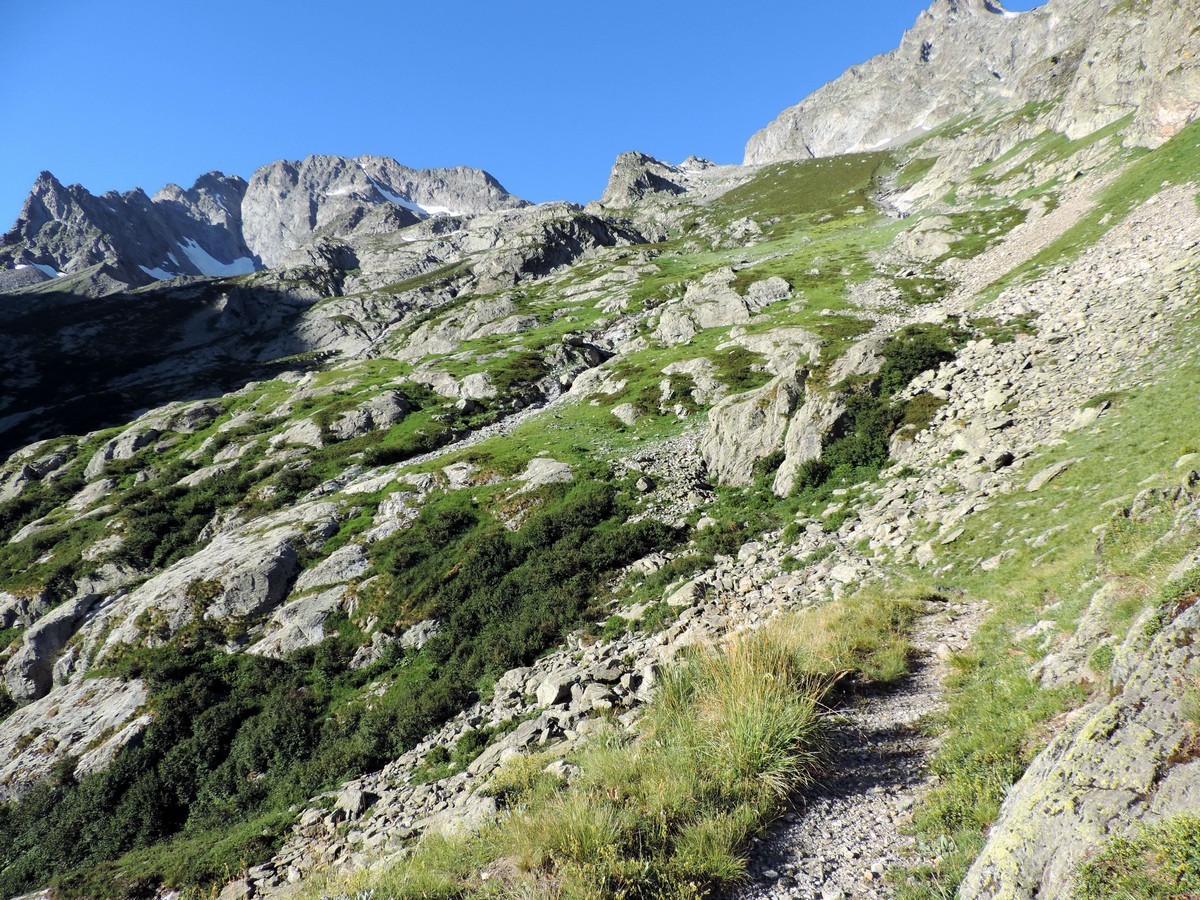
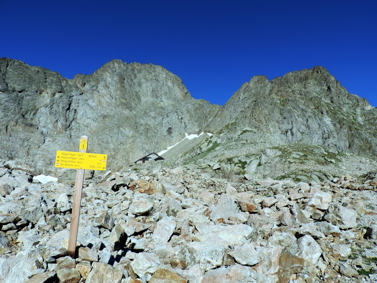
You’ll eventually reach a path that goes left to Lago Bianco dell’Agnel (7474ft) Ignore this. You want to go right, up some more switchbacks.
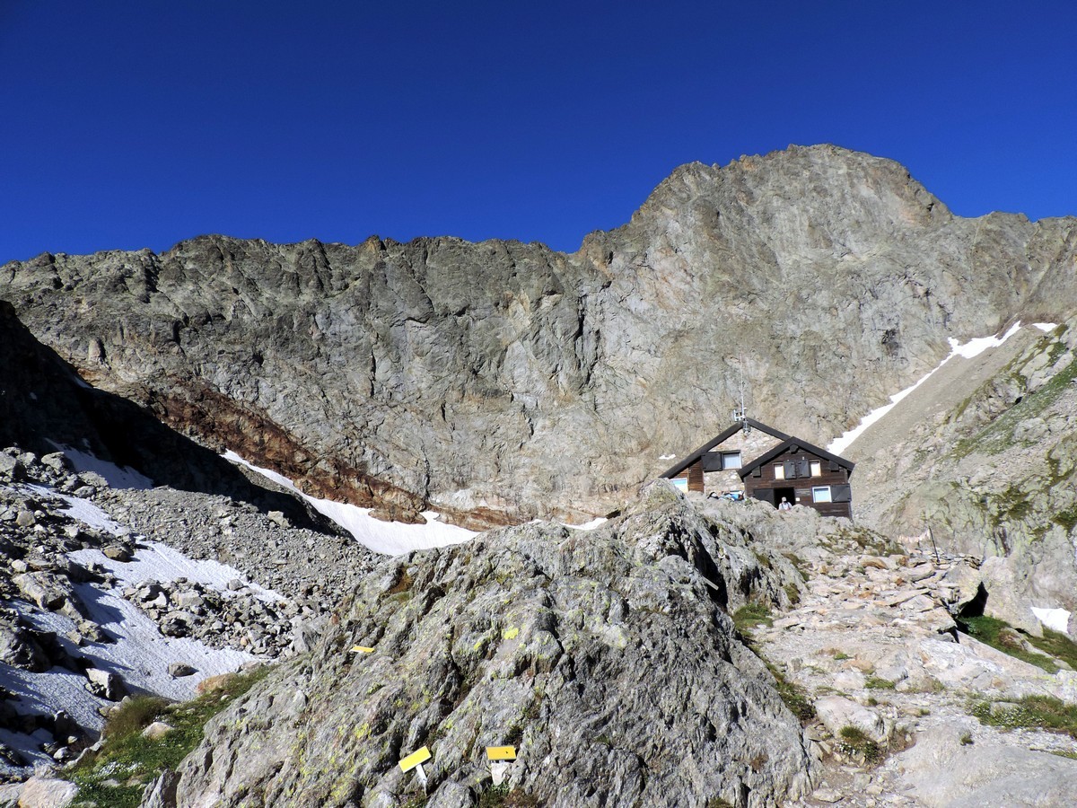
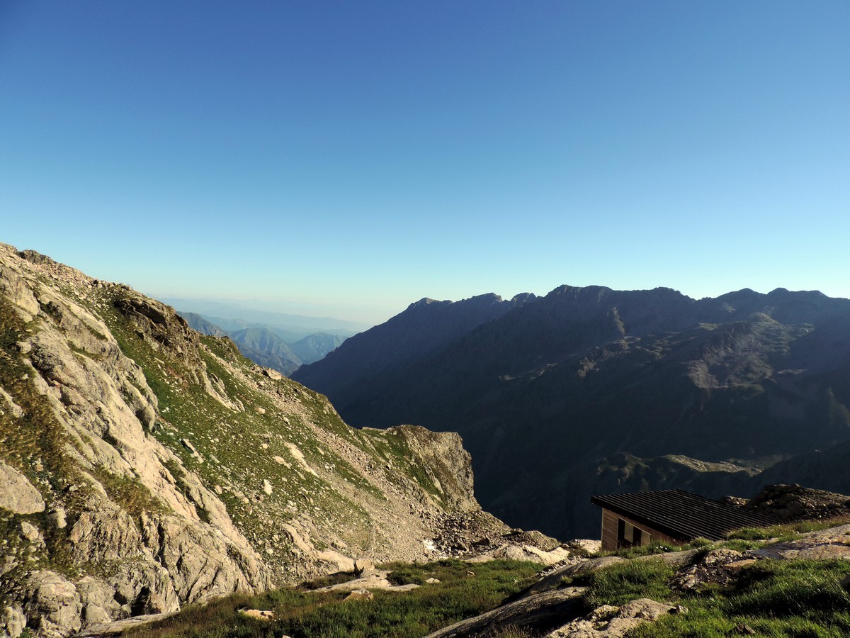
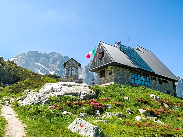
Finally you’ll reach your destination: The Rifugio Pagari. All the way up here, under the northeast face of Cima della Maledia.
Return the way you came.
Insider Hints
From the Rifugio Pagarì is possible to get to the Passo del Pagarì (9249ft) that overlooks into France. From this point, you can reach the Rifugio Nice del CAF (7323ft). Consider a stay at this Rifugio as it makes a great base camp.
Alpinists can also reach some higher peaks (over 9843ft), such as the Clapier, 9990ft high, or the Maledia, 10043ft high.
Mountaineers can reach the Rifugio Soria, after crossing the Passo dei Ghiacciai, (9026ft), however you will need glacier-climbing equipment and a guide.
Why not stop at the Rifugio San Giacomo after your hike for a nice meal? They have amazing polenta.
Sotto il Fagio is a great camping option in the area. If you have your own sleeping bag or blankets you can rent tents and air mattresses from them.

Similar hikes to the Rifugio Pagarì hike
Rifugio Garelli
One of the many great Rifugios to hike to, the Garelli Rifugio is the only Rifugio in Valle Pesio. From…
Lago del Vei del Bouc
The Vei del Bouc Lake is one of the most beautiful lake hikes in Alpi Marittime Natural Park. There’s something…
Rifugio Remondino
If you don’t want to climb the whole mountain, this is a great day hike whose views make for a…
Matilda86 4 years ago
the elevation is very rewarding as the view is excellent
Laura K. 5 years ago
This world doesn't deserve such beauty. I am a lucky human.