Rifugio Remondino hike
View Photos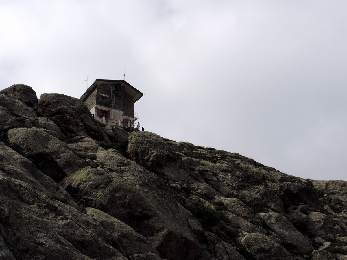
Rifugio Remondino hike
Difficulty Rating:
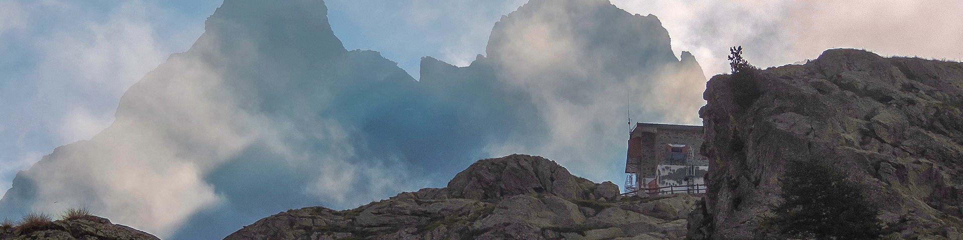
If you don’t want to climb the whole mountain, this is a great day hike whose views make for a great walk. The Remondino Rifugio is also the trailhead for the South Argentera peak (10817ft) the last of the Italian Alps’ great peaks. The Rifugio is 7972ft high nestled inside a circle of mountain summits.
Getting there
Make your way to Valdieri then drive 9.3mi to Terme di Valdieri, in the direction of the French Border. From Terme di Valdieri take the road on the left, behind the hotel. Go uphill for 2.5mi, until the roundabout in the forest. If you have a good car, you can continue for 1.2mi until the start of the path, in Pian della Casa (5889ft).

About
| When to do | June to end of October |
| Backcountry Campsites | Yes, on site, or Terme di Valdieri |
| Toilets | Yes, in the Remondino Rifugio |
| Family friendly | No |
| Route Signage | Average |
| Crowd Levels | Moderate |
| Route Type | Out and back |
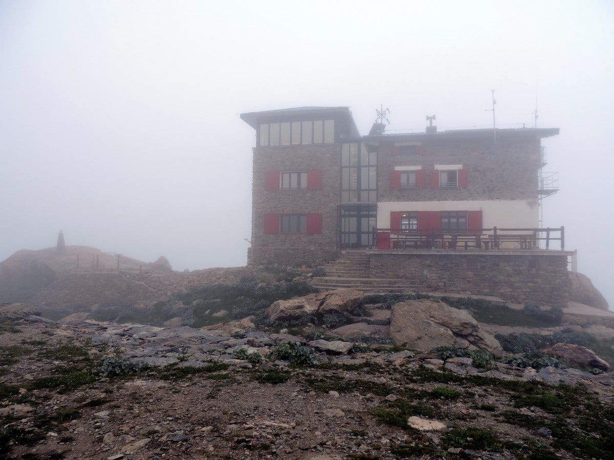
Rifugio Remondino
Elevation Graph
Weather
Route Description for Rifugio Remondino
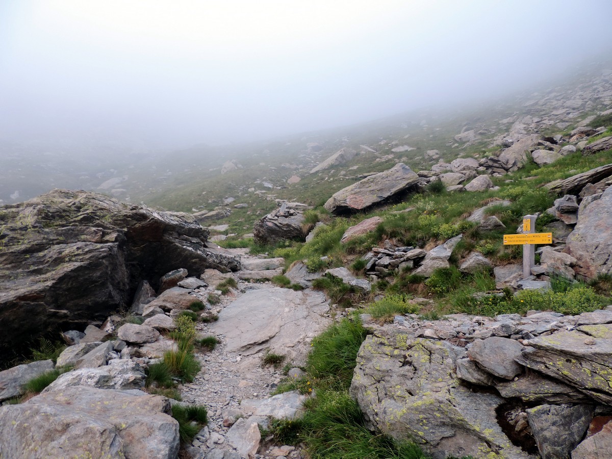
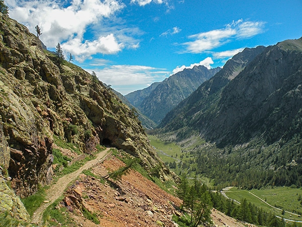
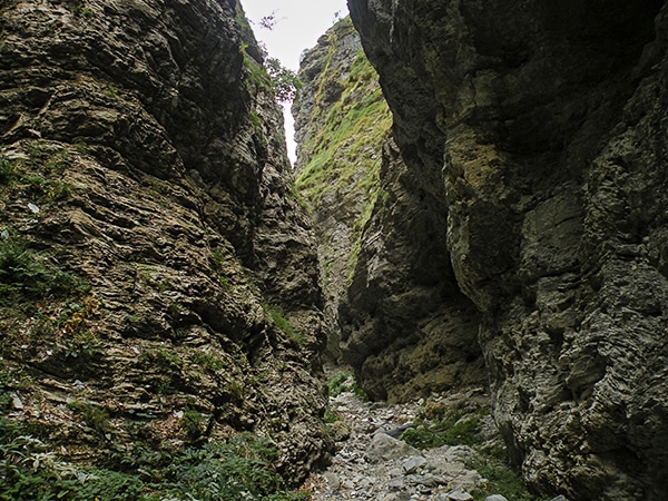
To reach the start of the trail you must follow the dirt road until its end. When you get to the Gias della Casa continue to the left to reach the path to the Rifugio.
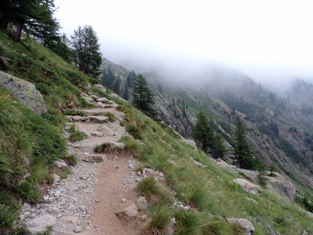
The trail is easy to follow, however it is sometimes steep, with rocky steps.
After half an hour or so, you’ll take one of the minor trails to Colle del Mercantour on the right.
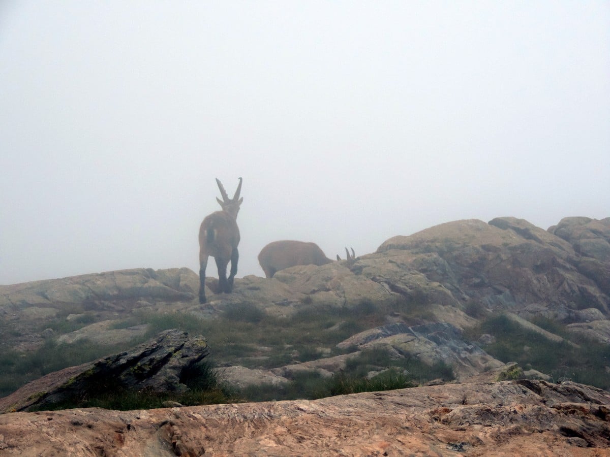
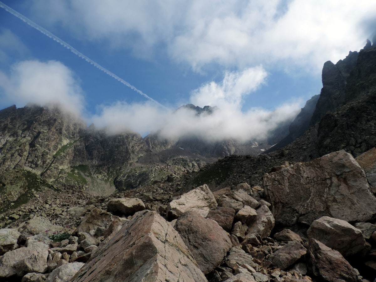
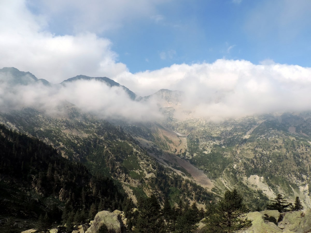
Continue past the little Assedras River. You’ll notice the Rifugio is always visible at the top. Some chamois or mouflon sheep can be seen close to the path. Give them their space.
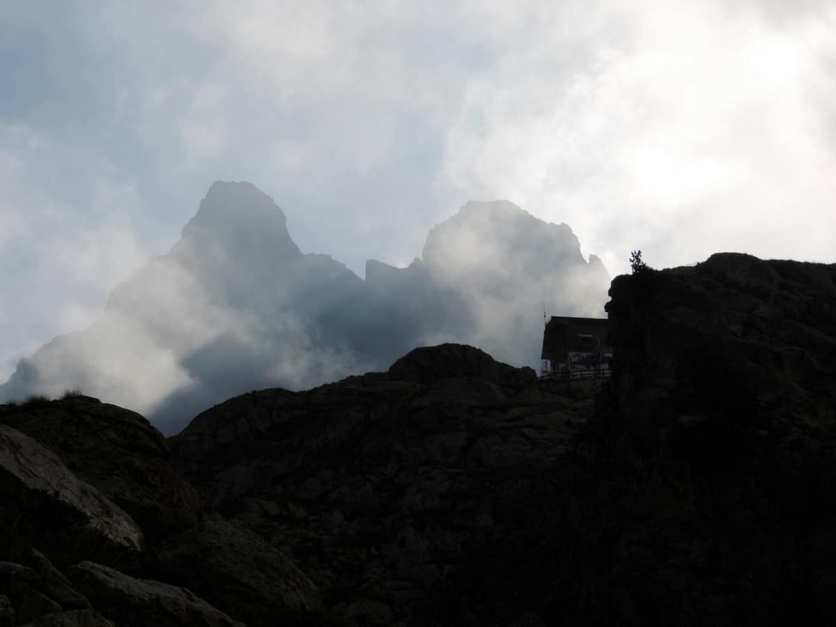
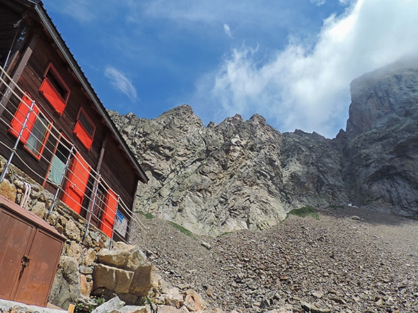
You will ascend the slopes by switchbacks, which leads to the base of a rocky promotion on which the Rifugio stands. When you can no longer see the Rifugio, you’re only 15-20 minutes away. Near this area you can find the Saxifraga florulenta, a beautiful, endemic rare plant.
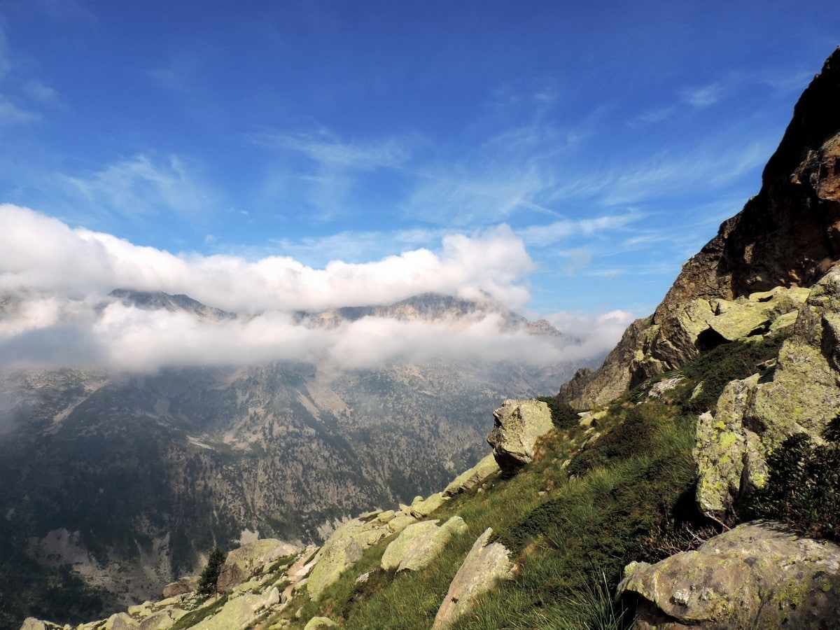
The Rifugio is in a very panoramic position and is well renowned. Franca, the manager, is a very kind person and will know how to welcome you.
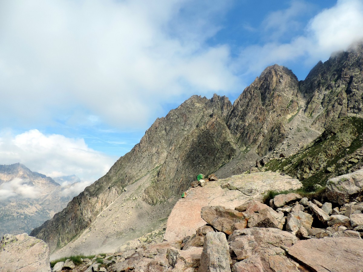
From the Rifugio you can enjoy the magnificent view of the Nasta peaks and the Argentera on one side and the Fremamorta and Tablasses on the other.
Your return path is the same one you came in on.
Insider Hints
If you chose to stay at the Rifugio you could plan a one-day excursion to the Rifugio Genova on the other side of the Argentera.
From the Rifugio Alpinists can reach the Argentera peak. At 10817ft high, it is the highest of Alpes-Marittime.
The Valle della Valletta is one of the most beautiful valleys of in the Alpi Marittime National Park. The forest lining the valley is one of the oldest in this mountain range, protecting Terme of Valdieri from avalanches and landslides.
We urge you to learn more about the Rifugio Remondino and consider spending a night. You won’t regret it. It has some of the best rock climbing in the region.

Similar hikes to the Rifugio Remondino hike
Giro del Valasco
If the Valle Gesso were to have a flagship hike, it would be the Giro del Valasco. From the King’s…
Gorge della Reina
Behind Entracque, the "village between waters", winds the trail that leads hikers to Monte Lausa and the Gorge della Reina…
Vallone Argentera
The mountain views on this hike are spectacular, which is saying something when every walk in this region takes place…
FdChiking 4 years ago
Bit rocky but the trail was easy to find. Spectacular views!
Slavka Pochodi 4 years ago
I've visited it many times, It was a challenging walk and beautiful place
Alexis Schweitzer 4 years ago
Walk beautiful and quite challenging
Saanvi Jt 5 years ago
I had lots of fun, great view of the Italian Alps!
MariaWalks 5 years ago
Remondino trek was really hard. :/ the steep mountain was the biggest challenge. But it's great for nice pictures.