Vallone Argentera hike
View Photos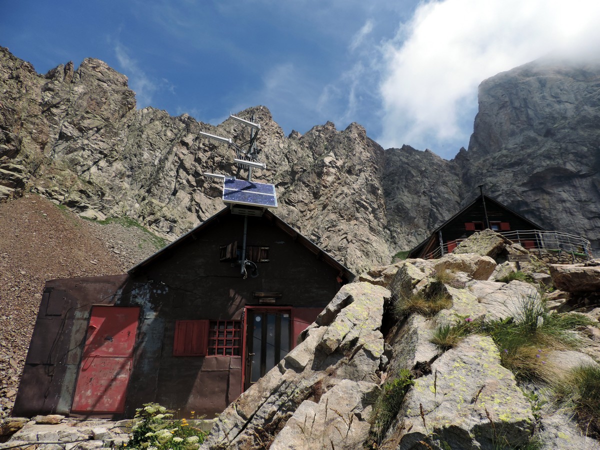
Vallone Argentera hike
Difficulty Rating:
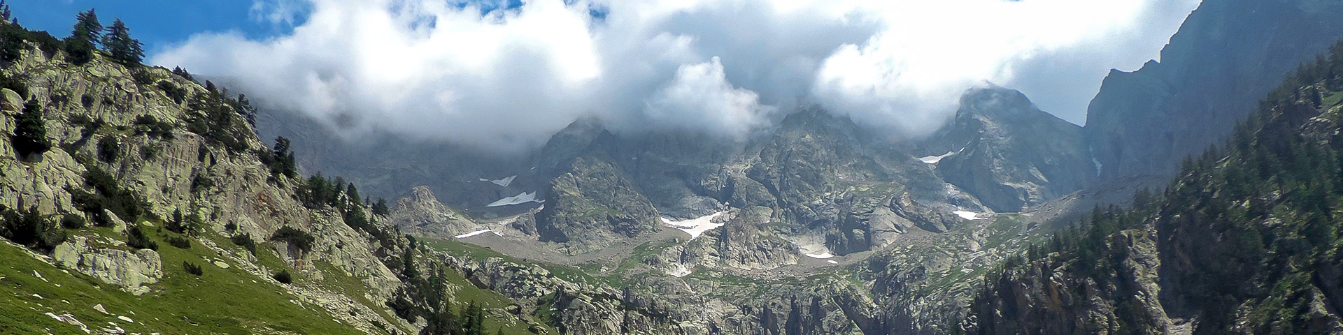
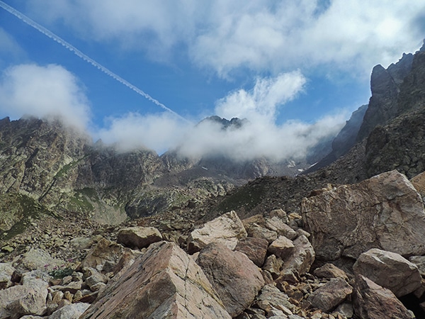
The mountain views on this hike are spectacular, which is saying something when every walk in this region takes place in the Alps. The Argentera is the highest mountain in the Alpes-Marittime. Climbing into the valley of the same name and up to Rifugio Bozano, allows admiration of this majestic mountain.
Getting there
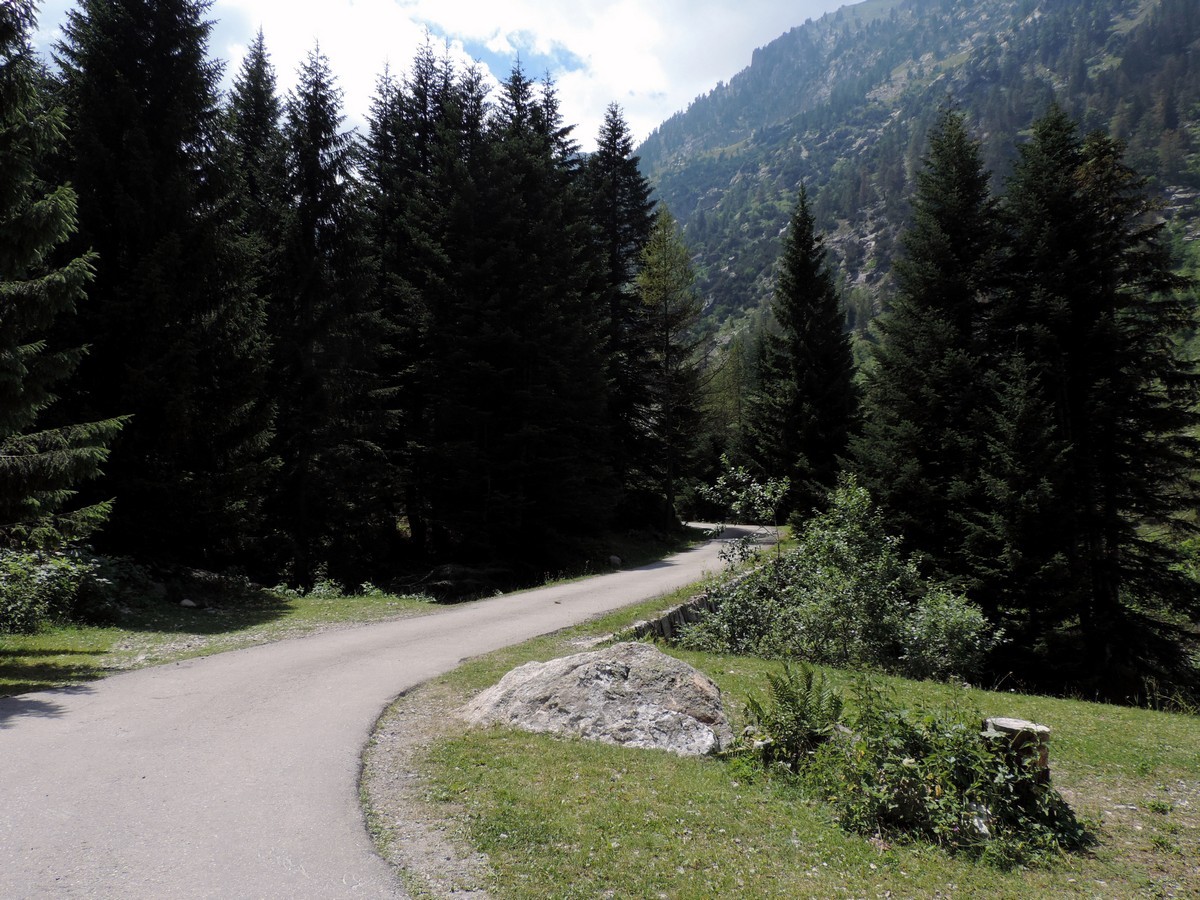
Make your way to Valdieri then drive 15km to Terme di Valdieri, in the direction of the French Border. From Terme di Valdieri take the road on the left, behind the hotel. Go uphill for 2.5mi, until the parking lot of Vallone Argentera.

About
| When to do | June to end of October |
| Backcountry Campsites | Yes, in Terme di Valdieri |
| Toilets | Yes, In the Bozano Rifugio |
| Family friendly | No |
| Route Signage | Average |
| Crowd Levels | Moderate |
| Route Type | Out and back |
Vallone Argentera
Elevation Graph
Weather
Route Description for Vallone Argentera
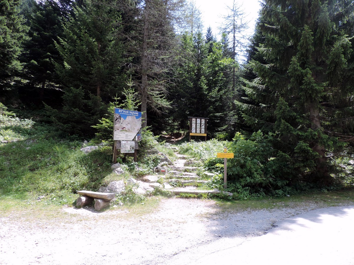
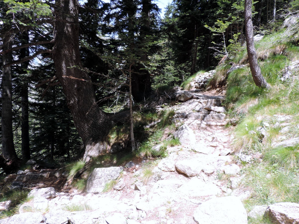
To reach the start of the trail, you’ll want to take the forested track from the parking lot until you find information on the Rifugio Bozano on your left.
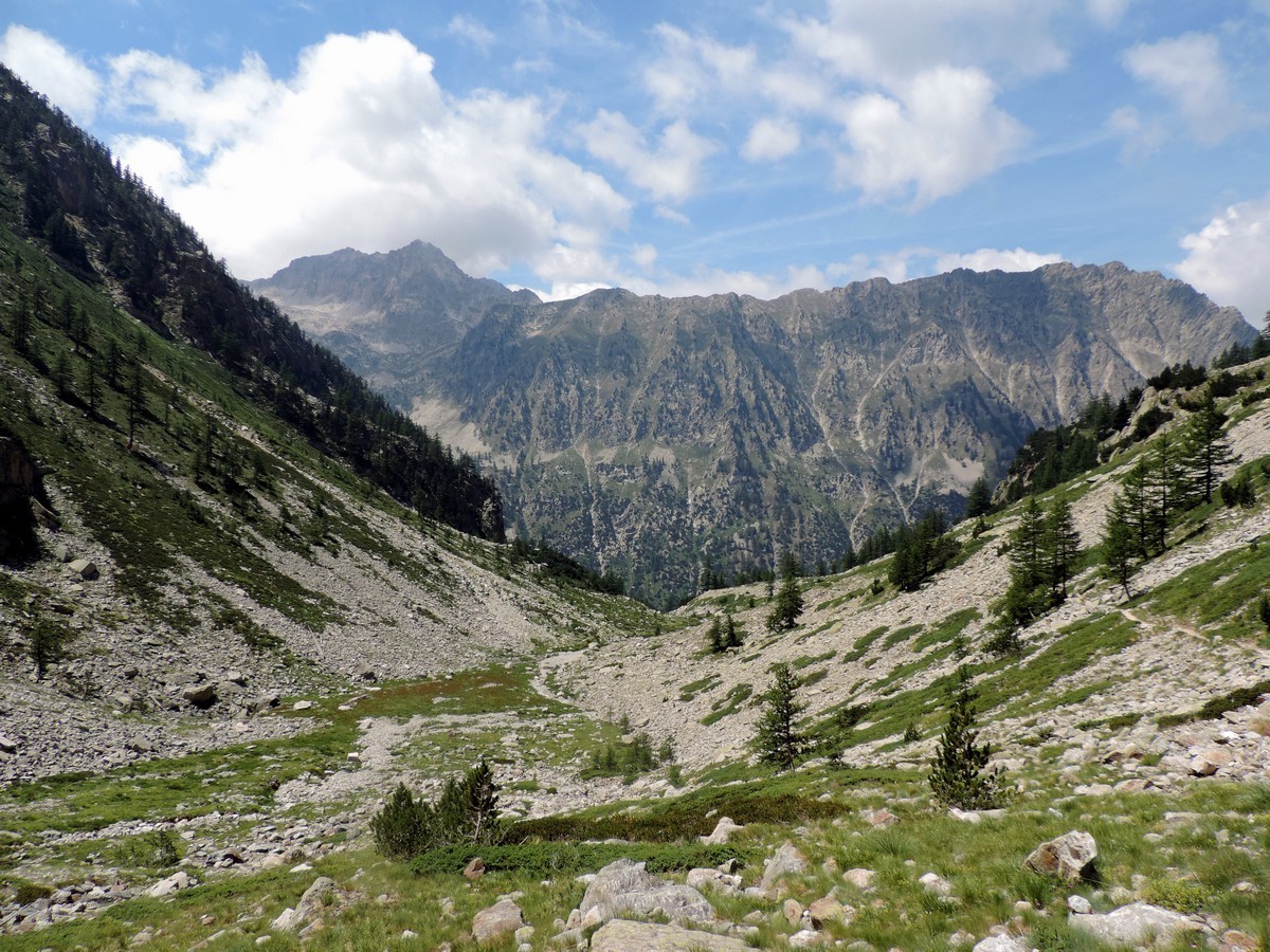
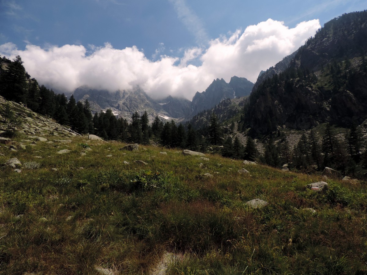
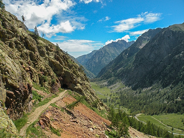
The trail, starts in the woods and it is steep. It doesn’t level off until you reach the grasslands near the base of the summits of De Cessole peak and of Madre di Dio peak.
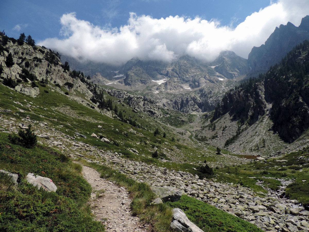
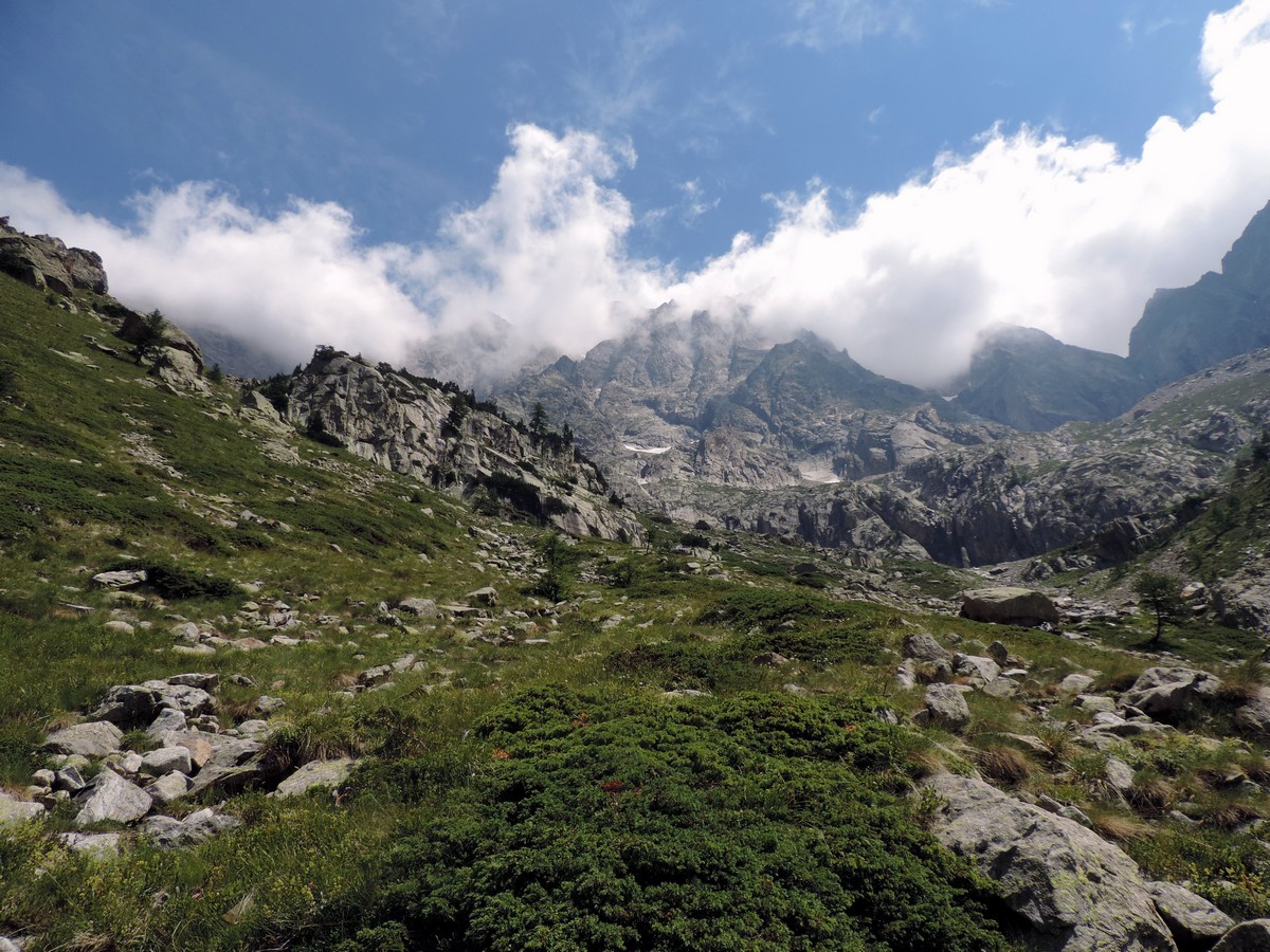
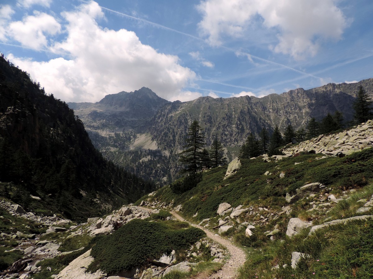
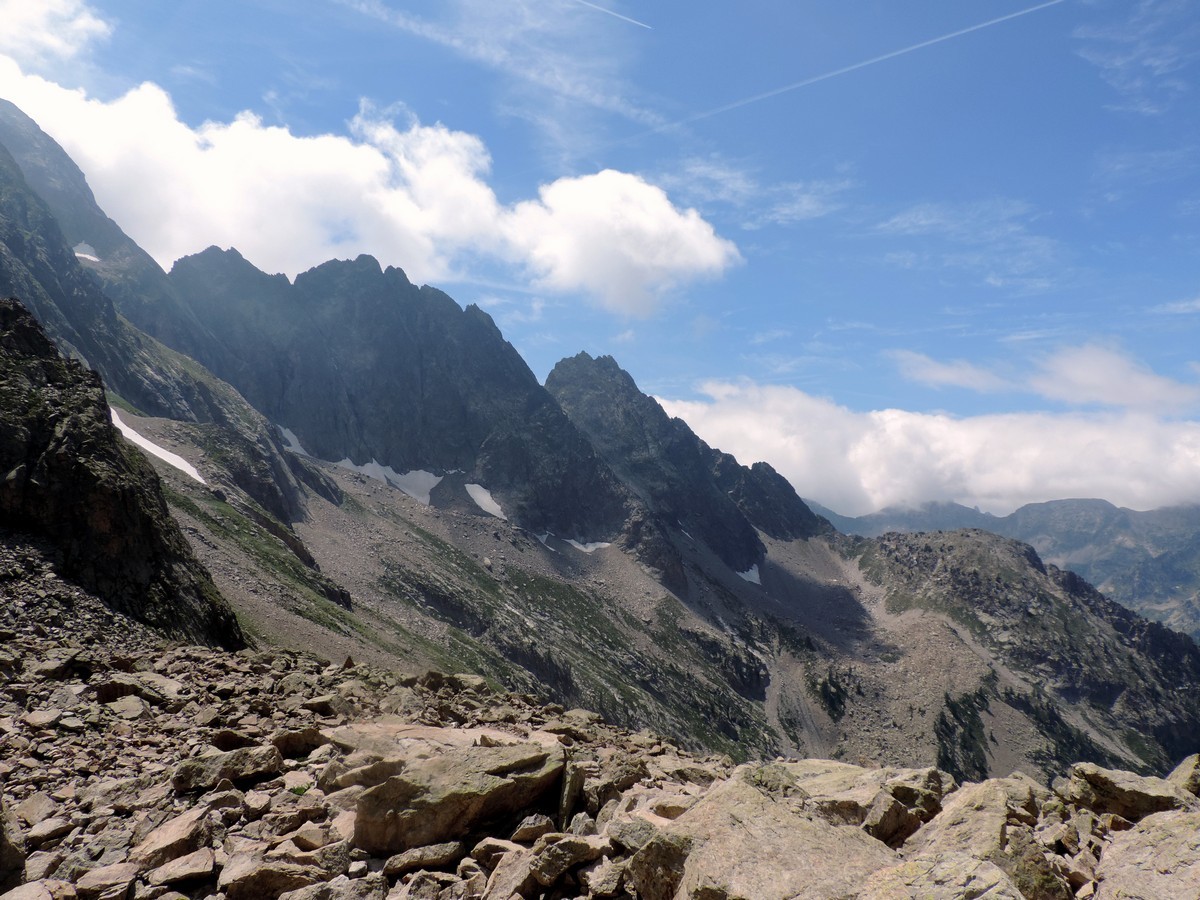
The trail climbs along on the left side of the valley. It finally will reach a rocky edge where the last of the larches grow. Up it continues, past all the stones that have fallen from the rocky walls of the Corno Stella (8051ft).
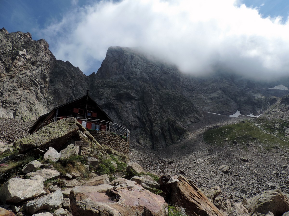
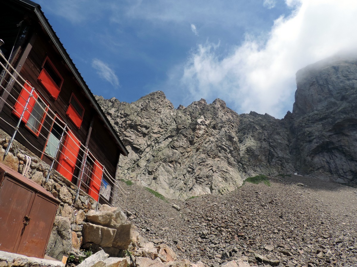
Finally, you will reach the Rifugio Bozano, the goal of generations of alpinist since the start of the twentieth century.
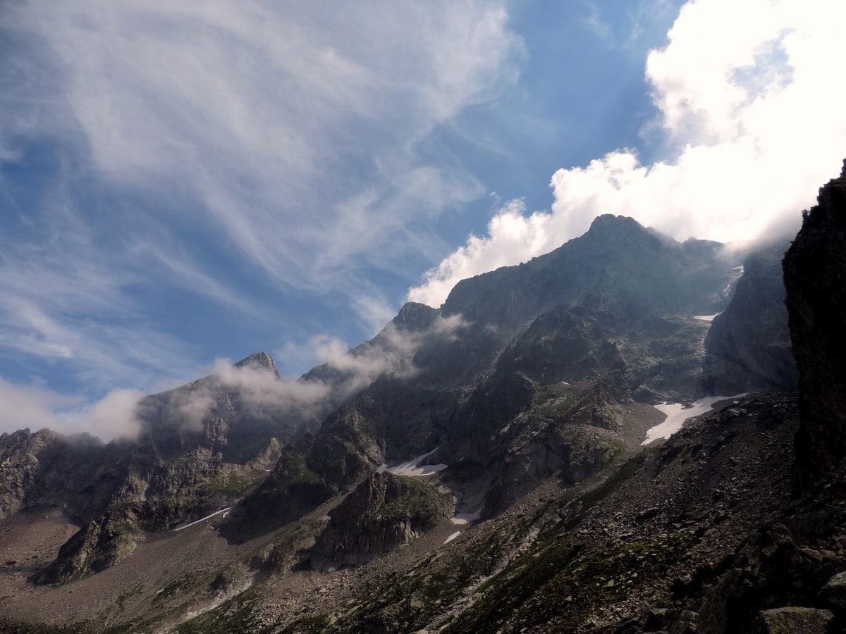
Once you arrive at the Rifugio, you’re free to enjoy the magnificent views of the highest peaks of the Argentera massif. The theatre of countless mountain expeditions, it is rich in mountaineering history; however, above all it is an ancient mountain, whose rocks date back 250-360 million years.
Return the way you came up.
Insider Hints
From the Rifugio, you can get to the Rifugio Remondino in 4h. However, the trail is very difficult and recommended only for experienced hikers.
Rifugio Bozano is a awesome lodging option. You’ll need to bring your own sleeping bag or sheets, but they’ll provide the wine and cheese!

Similar hikes to the Vallone Argentera hike
Giro del Valasco
If the Valle Gesso were to have a flagship hike, it would be the Giro del Valasco. From the King’s…
Gorge della Reina
Behind Entracque, the "village between waters", winds the trail that leads hikers to Monte Lausa and the Gorge della Reina…
Rifugio Remondino
If you don’t want to climb the whole mountain, this is a great day hike whose views make for a…
FdChiking 4 years ago
It's a steep trail in the beginning. The highest peak and one of the most beautiful in Alpi Marittime Natural Park.
Slavka Pochodi 4 years ago
One of my favorite walks, Excellent views of Valley
Gilberto Fattore 4 years ago
Unique wildlife and panoramic views
Alexis Schweitzer 4 years ago
It is a thrill to discover nature between mountain peaks with unique wildlife and panoramic views
Danny V. 5 years ago
Strong wind blows from time to time. So glad we made it.
Jacob M. 5 years ago
Enjoyed the serene nature. The tranquility was amazing.
Filip l. 5 years ago
It started with an easy walk in the forest from there a gradual elevation could be noticed. I would classify it as a moderate hike.
Scott P. 5 years ago
Nice climb! Had so much fun trekking. Views from the valley were remarkable.
Pegasus 5 years ago
I'd say this hike was really hard. The constant ascent was really challenging. I had to take many breaks. I wasn't used to climbing up for such long periods of time.