
Giro del Valasco hike
View Photos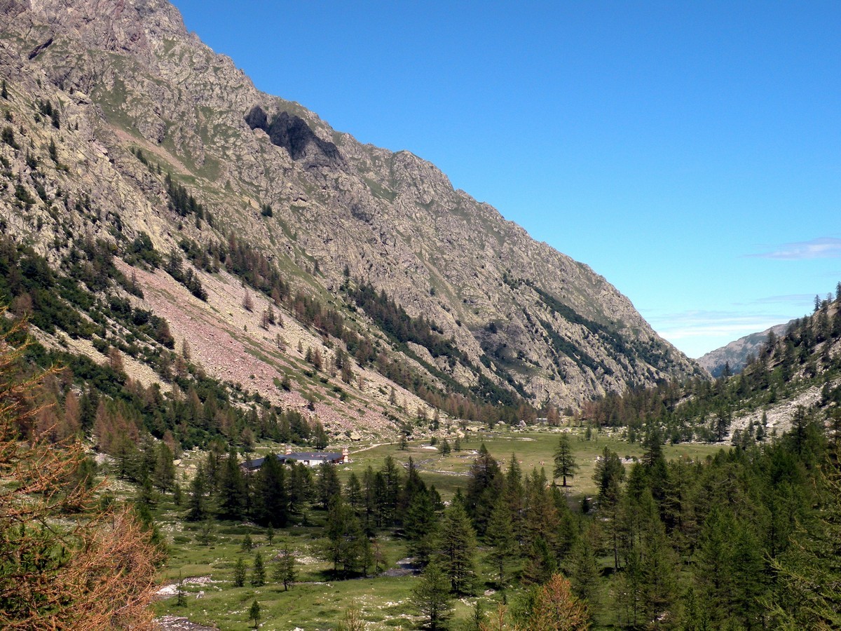
Giro del Valasco hike
Difficulty Rating:
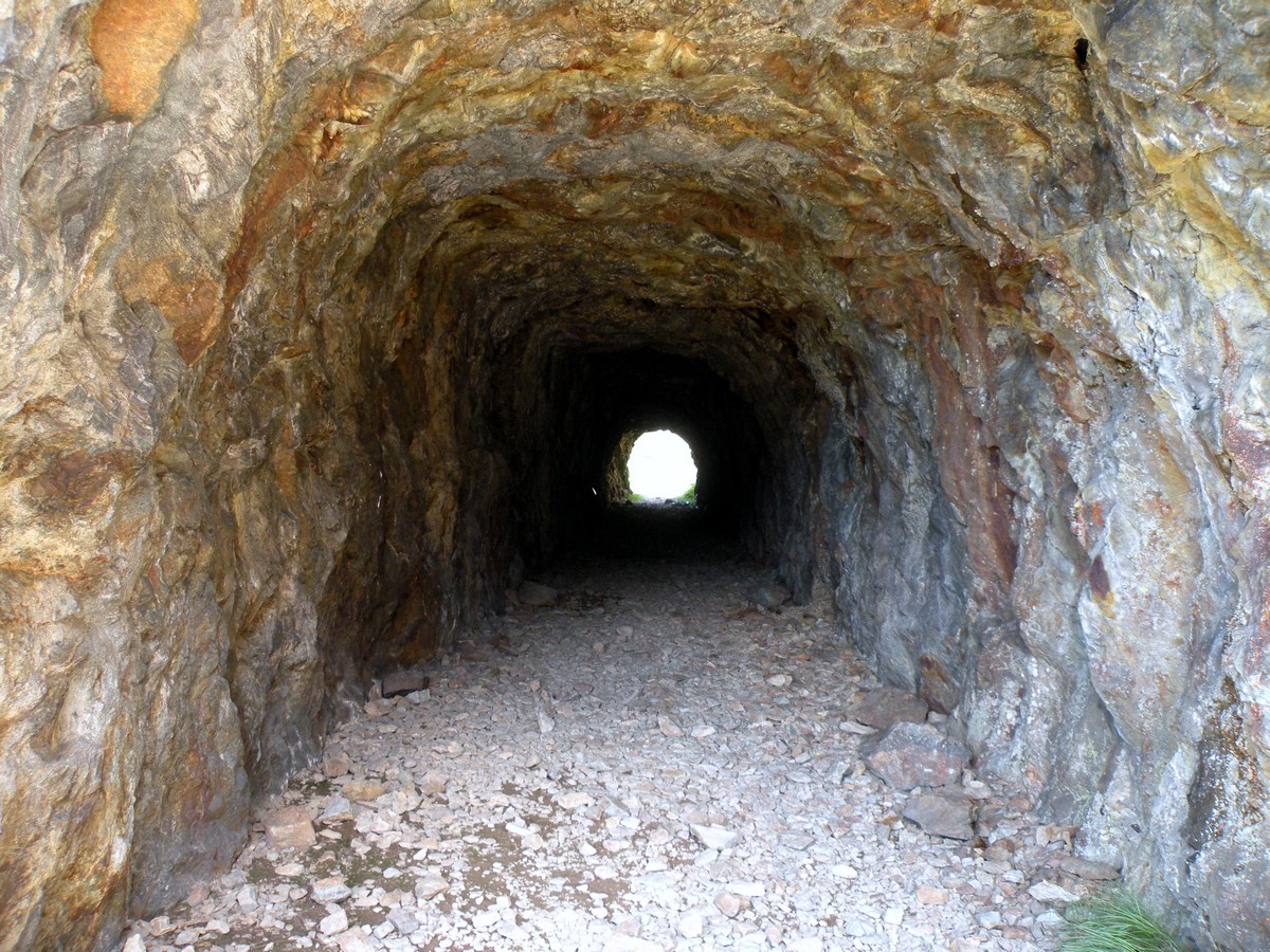
If the Valle Gesso were to have a flagship hike, it would be the Giro del Valasco. From the King’s Valasco hunting lodge, the walk rises to the military tracks, built by the Alpine army in the 30s. They served to replenish the “Vallo Alpino” war system, which today is a monument to man’s talent and abilities, as well as to the stupidity of war. Overall, it’s a very popular trail.
Getting there
Make your way to Valdieri then drive 9.3mi to Terme di Valdieri, in the direction of the French Border. To reach the starting point, park the car in Terme di Valdieri.

About
| When to do | June to end of October |
| Backcountry Campsites | Yes, in Terme di Valdieri |
| Toilets | Yes, Rifugio Valasco or Rifugio Questa |
| Family friendly | No |
| Route Signage | Average |
| Crowd Levels | Moderate |
| Route Type | Lollipop |
Giro del Valasco
Elevation Graph
Weather
Route Description for Giro del Valasco
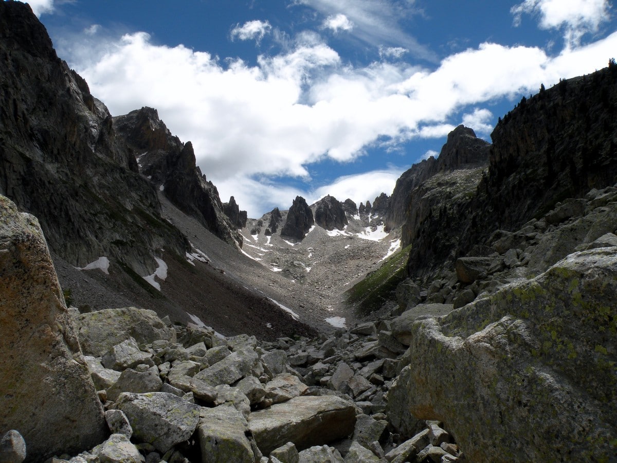
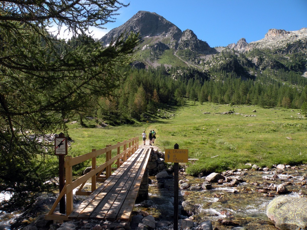
From Terme di Valdieri make your way along the trail to get to The Piano Inferiore del Valasco (5948ft). You’ll have a magnificent view of the snow on the mountaintops.
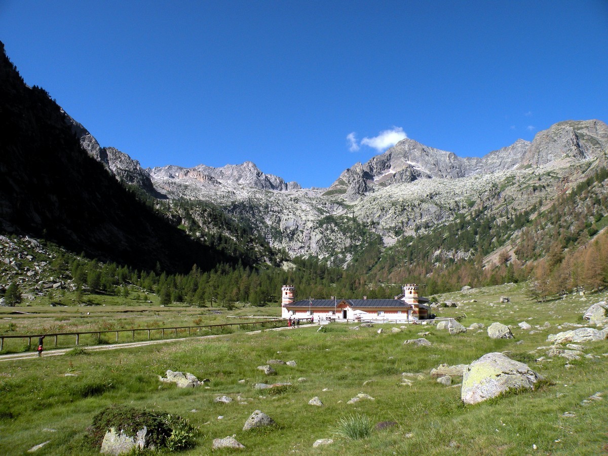
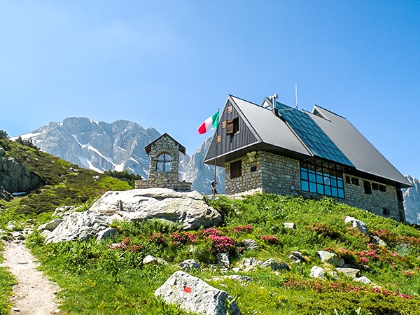
After fifteen minutes you reach the Casa di Caccia of Valasco, an ancient hunting lodge of King Vittorio Emanuele II. Now it is a Rifugio with great food and beds for weary travelers.
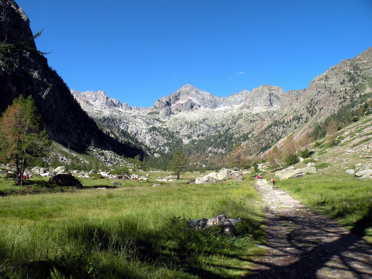
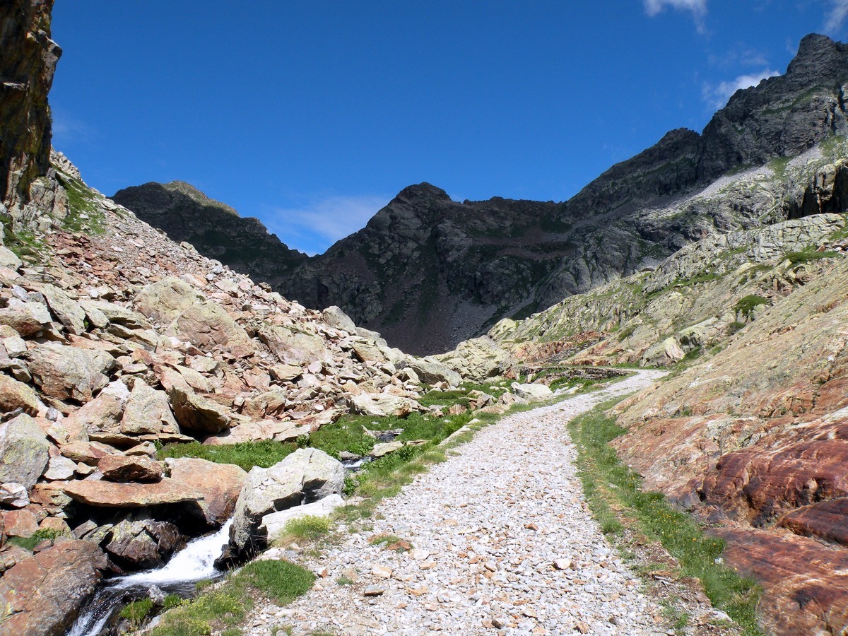
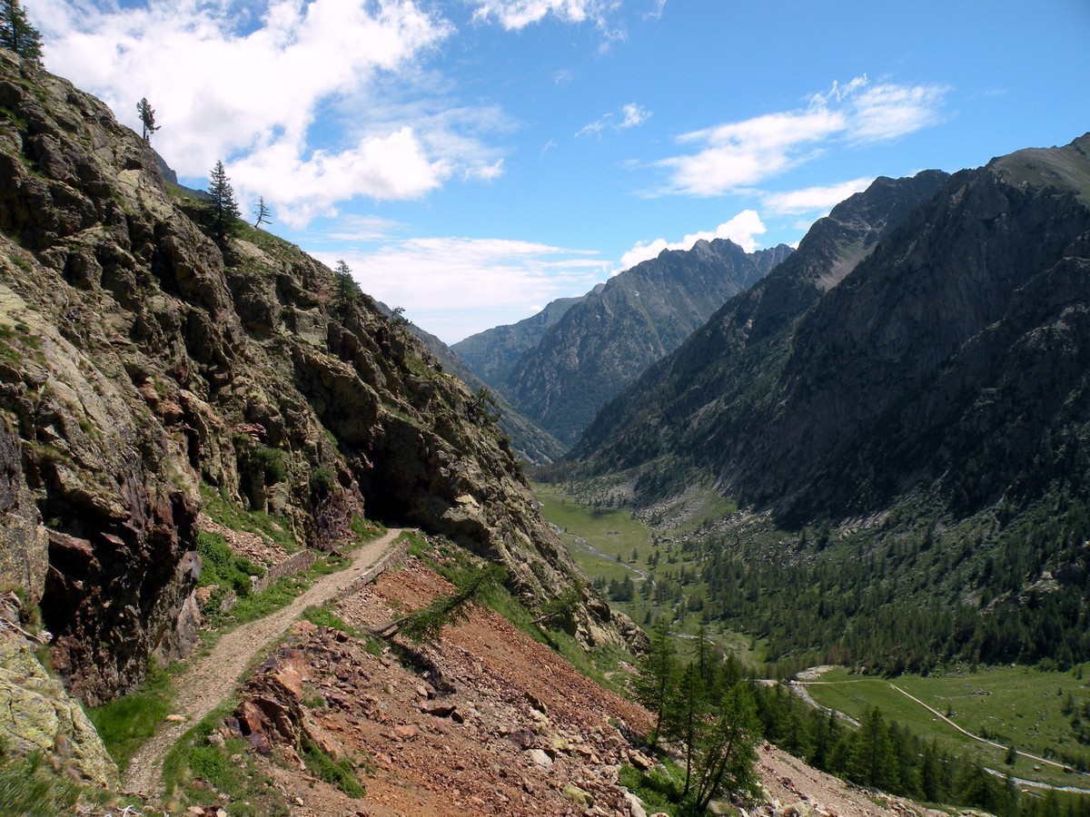
Following the road on the right, you will reach the Piano Superiore in under 1h. There are some great waterfalls here. Then, you take the trail to the Laghi di Valscura.
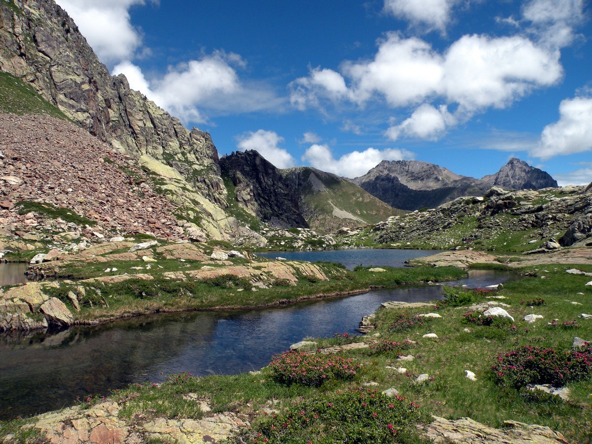
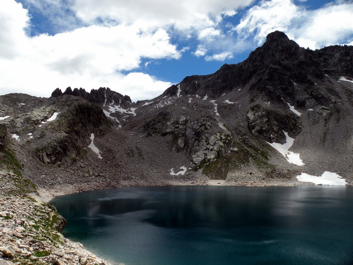
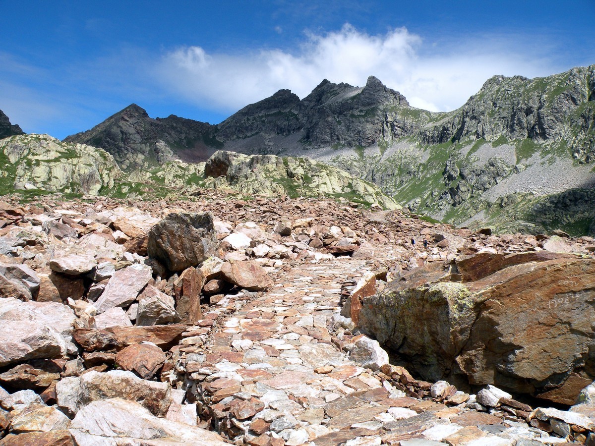
After a little over 1.5h you will arrive, thanks to the trails or the military roads, to the Laghi di Valscura 7431ft) where you can see some barracks.
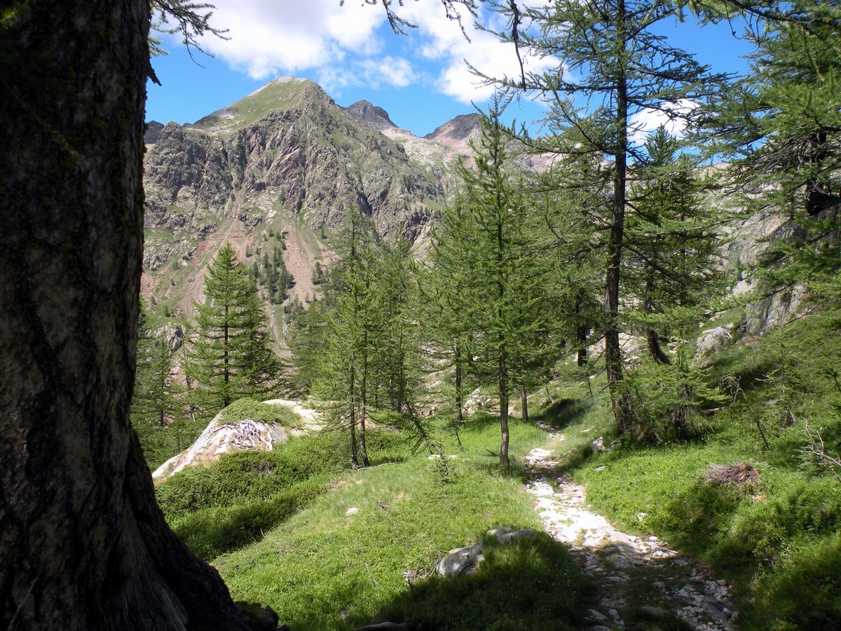
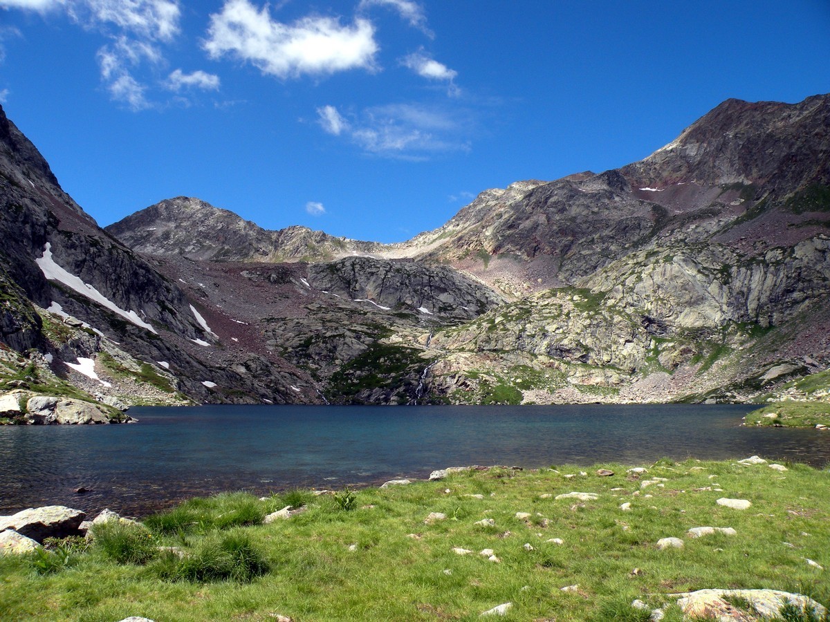
From the lake, on the left, you’ll follow a trail that will lead you to Claus lake, (7838ft) a beautiful glacier-fed lake.
From Claus lake you’ll reach the Rifugio Questa (7838ft high) in under 1h. This Rifugio once was a military barracks but now is a great place for a break. The view from here goes north, onto the Rosa Mount, the Cervino, and the Gran Paradiso.
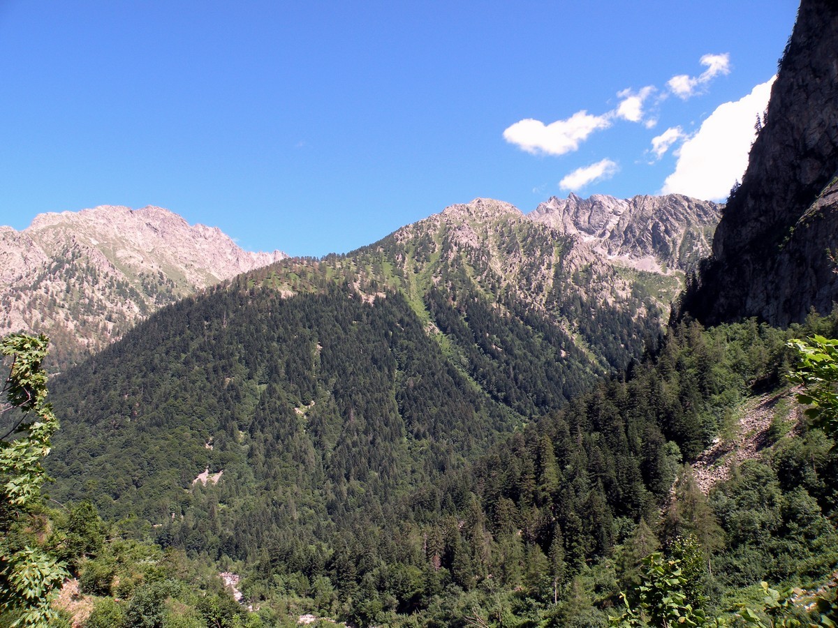
From the Rifugio, go past the building and continue on, following signs for Piano Inferiore del Valasco and then Terme di Valdieri. Once you’re back in Terme di Valdieri, you just need to remember where you parked your car!
Insider Hints
From Valasco you can reach the Laghi di Fremamorta, the Colletto del Prefous or the Bassa del Drous.
From the Colletto del Valscura you can reach the Valle Stura. They are all nice excursions.
This is a long hike. If you want to break it up stay at the Rifugio Valasco or the Rifugio Questa. Hiking and staying at a Rifugio is a true alpine experience and this is the perfect hike for it.

Similar hikes to the Giro del Valasco hike
Rifugio Garelli
One of the many great Rifugios to hike to, the Garelli Rifugio is the only Rifugio in Valle Pesio. From…
Rifugio Pagarì
The Pagarì Rifugio is the highest Rifugio that you can hike to in the Alpi Marittime. If you stay at…
Lago del Vei del Bouc
The Vei del Bouc Lake is one of the most beautiful lake hikes in Alpi Marittime Natural Park. There’s something…
Matilda86 4 years ago
A suitable place for challenging walks with stunning scenery
Udo Huber 4 years ago
Entire half-day spent well hiking this trail. Spectacular scenery. Highly recommend this.
FdChiking 4 years ago
Gorgeous falls in Piano Superiore plus knowing the history of Rifugio, It's really amazing!
Gilberto Fattore 4 years ago
Beautiful landscapes and a must for summer holidays every year
Greenworld88 4 years ago
It was a long and arduous climb that requires a certain level of fitness. I do not recommend this to everyone., but if you think you're capable, you should definitely do it!
claritam 5 years ago
Incredible terrain! Love the rugged areas and the rocky pathways.
Pauliina Sjölund 5 years ago
We did this route as a fast hike up with few stops and running down all parts we could easily run. Very beautiful place! Just a note that none of the rifugios were not open anymore on September 23rd although it was a sunny day. Perfect weather and not crowded at all this time of the year. Our sport watches showed only 1100 meters ascent. And it took 5 hours 10 minutes on total with the stops.
Manny D. 5 years ago
Don't be afraid to take breaks when your body feels like it needs rest. It's actually better to listen to your body to avoid collapsing.
Chloe P. 5 years ago
Splendid hike! Did it with my buddies, and man, it was darn hard but It felt so good!
Nelly Porter 5 years ago
It takes approximately half-day to finish this hike. Make sure to bring enough water and snack to get you through the entire period.