Lagarot di Lourousa hike
View Photos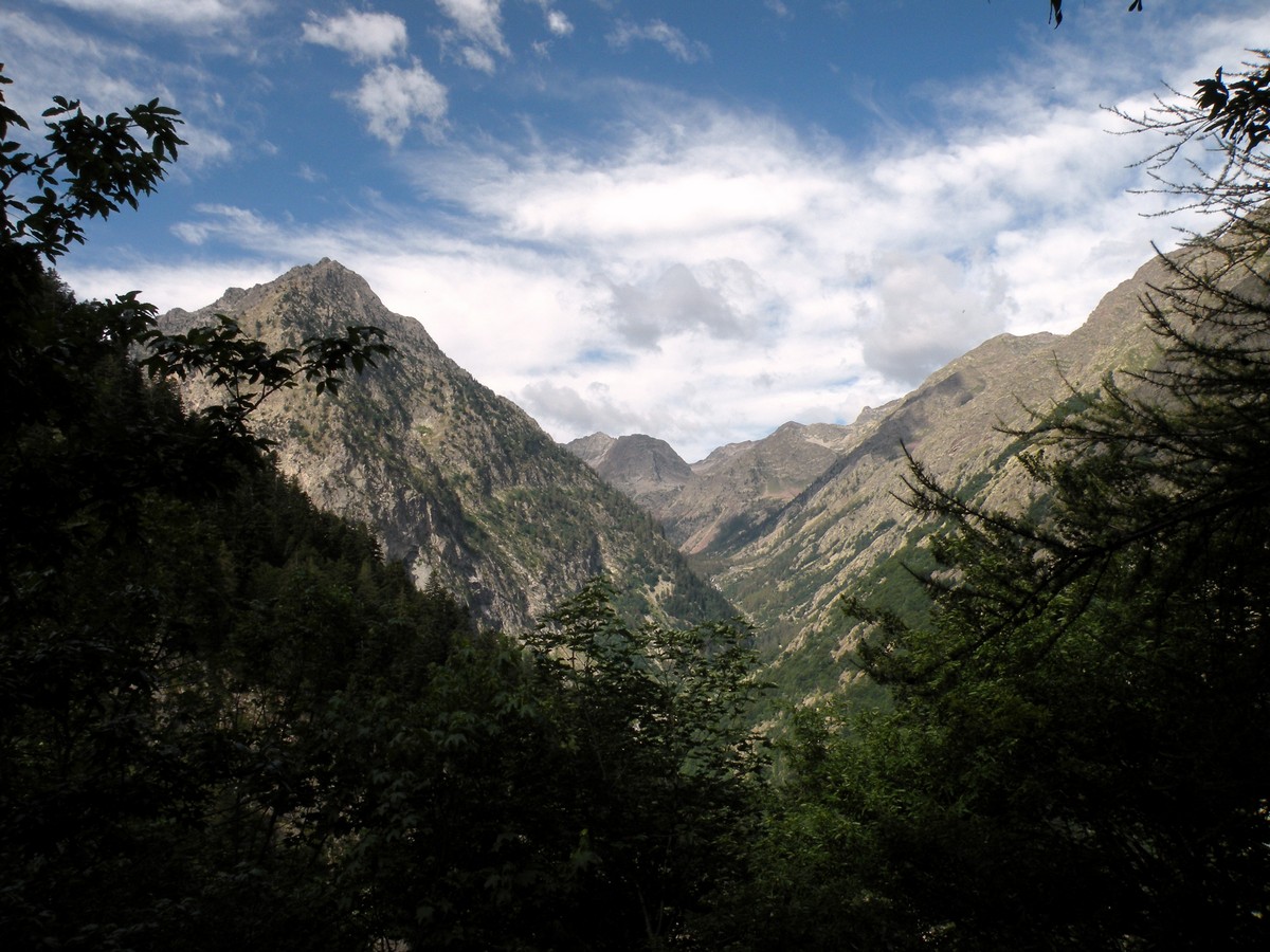
Lagarot di Lourousa hike
Difficulty Rating:
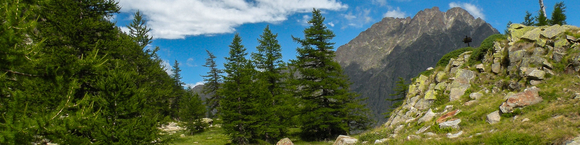
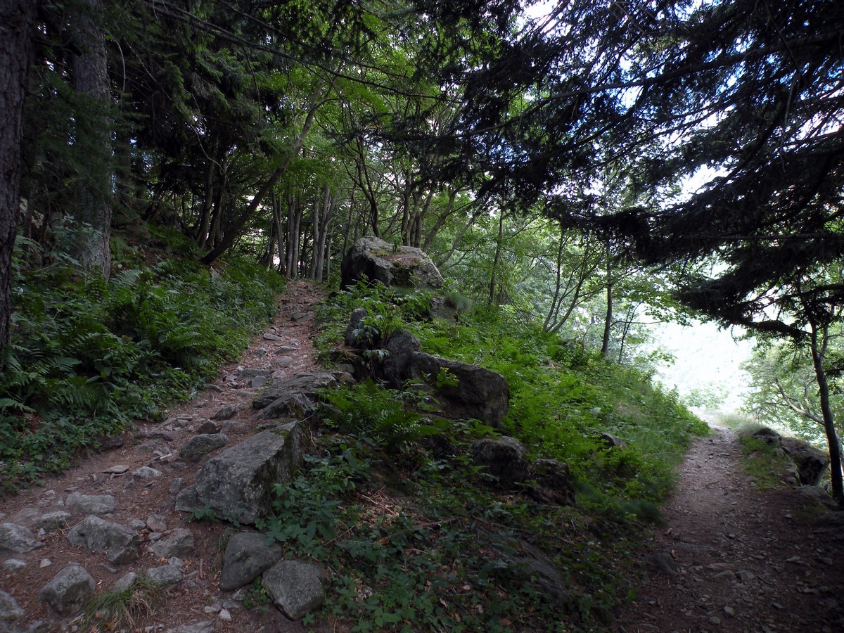
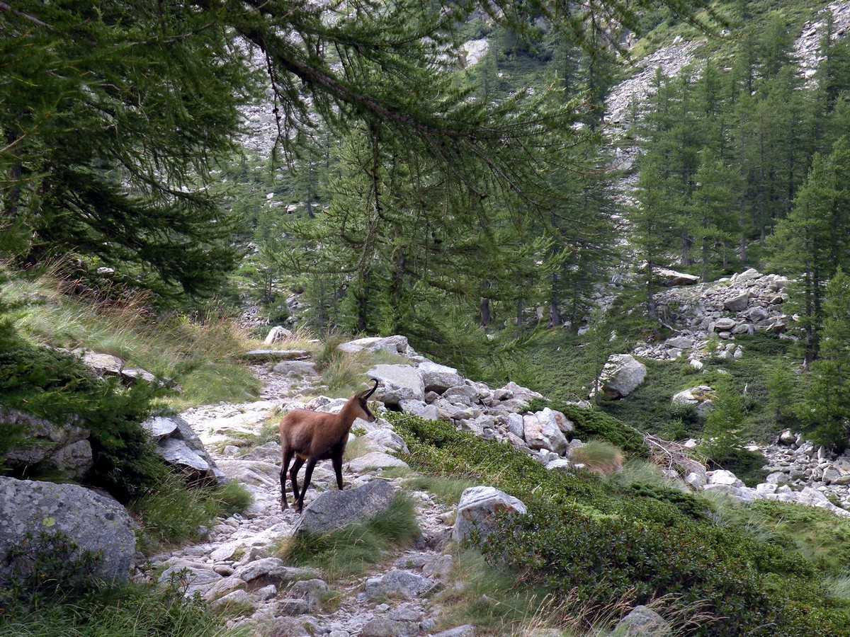
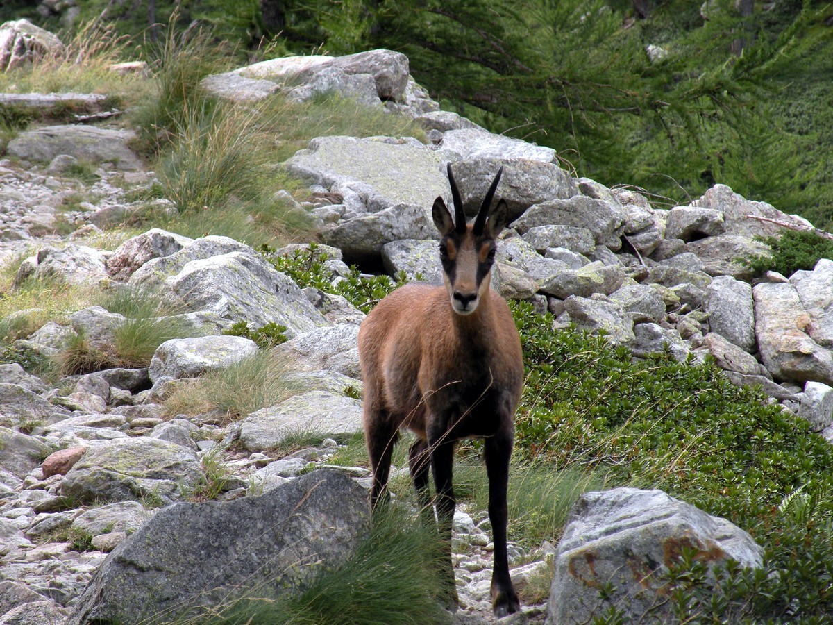
As you hike through the larch forest, the trail will switchback an awful lot, although it isn’t steep. The path was built at the end of the nineteenth century to allow King Vittorio Emanuele II to ride on horseback while hunting chamois and ibex.
Getting there
Make your way to Valdieri then drive 9.3mi to Terme di Valdieri, in the direction of the French Border. To reach the starting point, park the car in Terme di Valdieri, down to the left of the bridge. The path starts from the parking lot.

About
| When to do | May to end of October |
| Backcountry Campsites | Yes, on site or in Terme di Valdieri |
| Toilets | Yes, in Terme di Valdieri |
| Family friendly | No |
| Route Signage | Average |
| Crowd Levels | Moderate |
| Route Type | Out and back |
Lagarot di Lourousa
Elevation Graph
Weather
Route Description for Lagarot di Lourousa
The trail to the Lagarot starts from the parking and then crosses the stream over a little bridge.
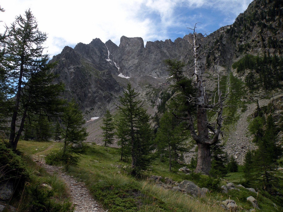
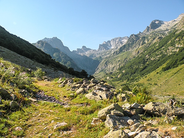
From there, it switchbacks through a larch wood, up to 5906ft. Eventually, you’ll start to see the grasslands and the peaks around you.
The King’s path is soon visible. Bordered with stone walls, the low grade allowed the King to go up comfortably on his horse.
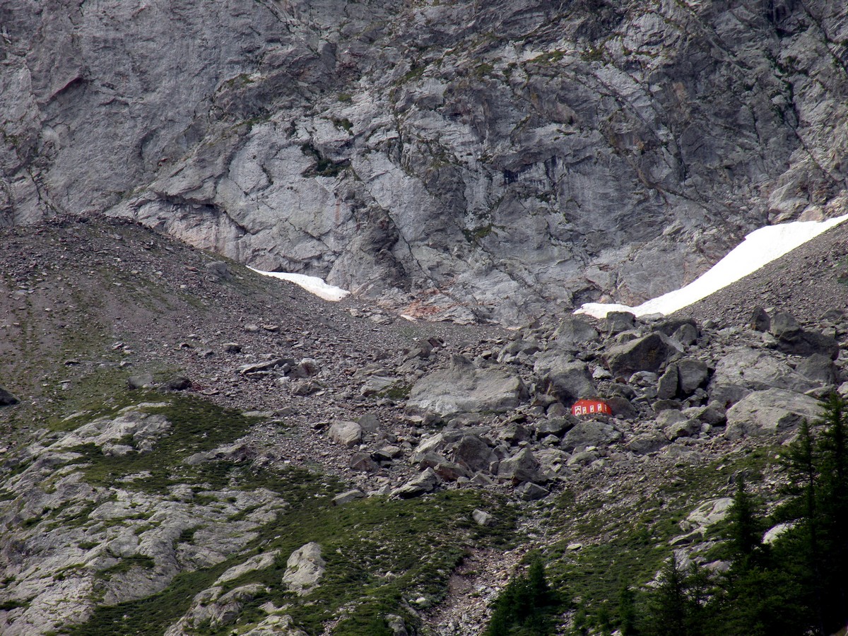
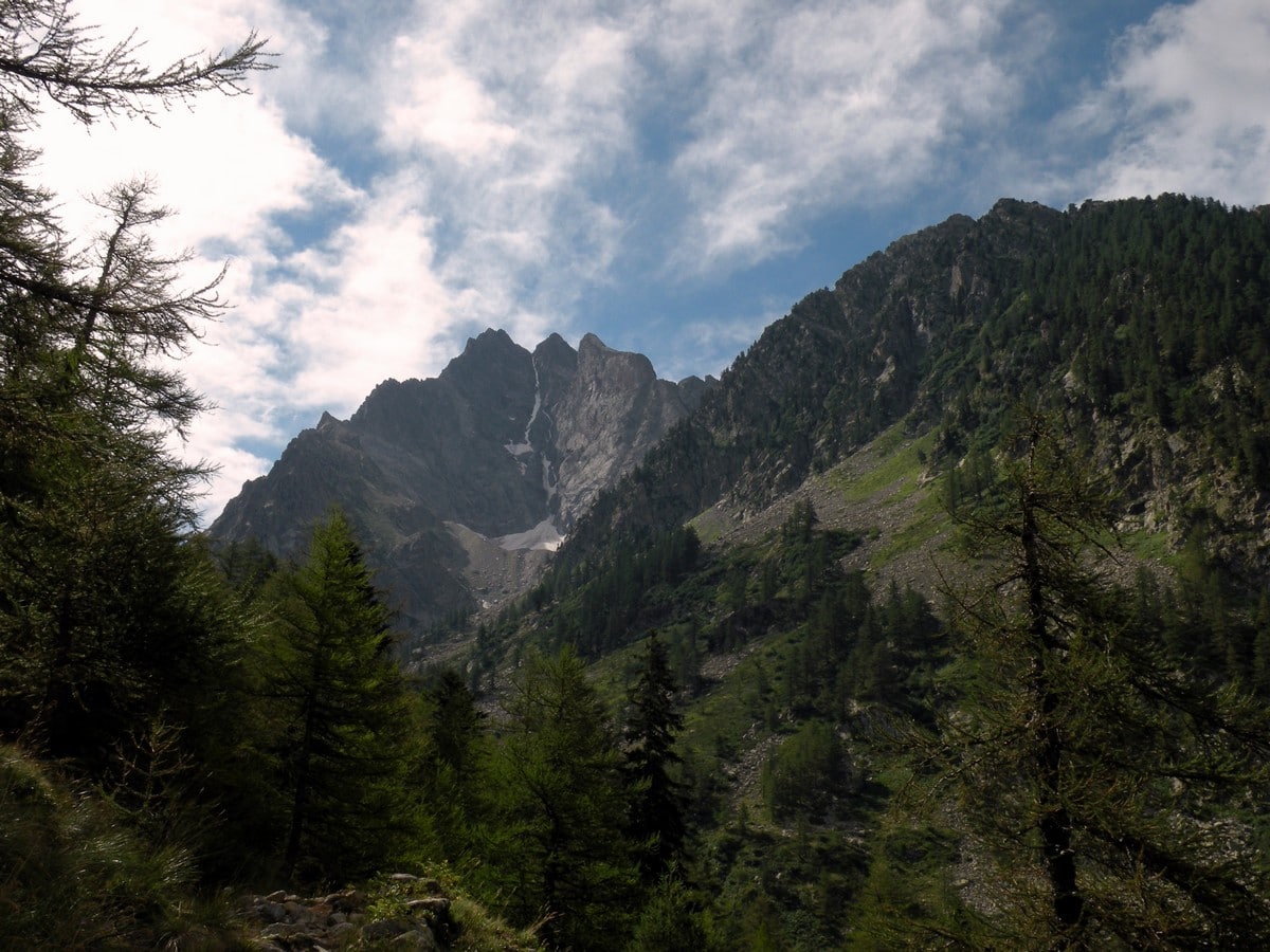
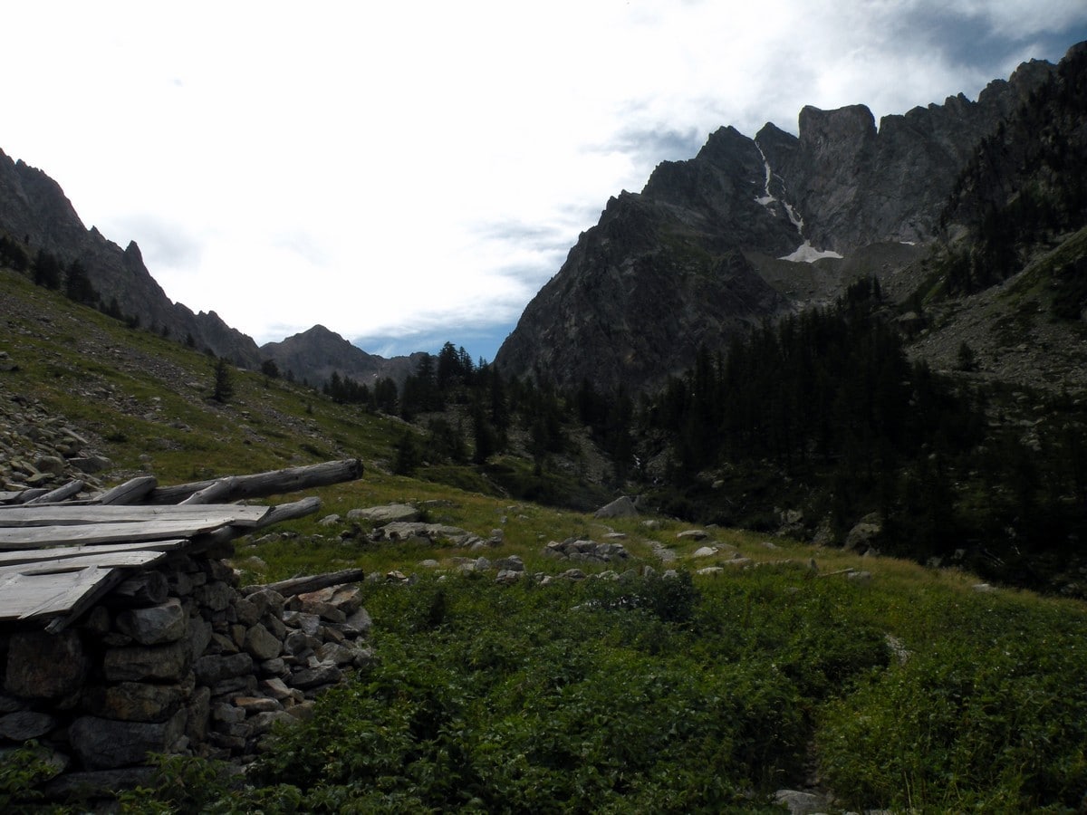
After a little over 1h, the larch forest thins and the rocky plain dominates the landscape. An ancient shepherd’s Rifugio remains as a vestige of past livestock activity, but nowadays you won’t find any sheep pasturing on these slopes.
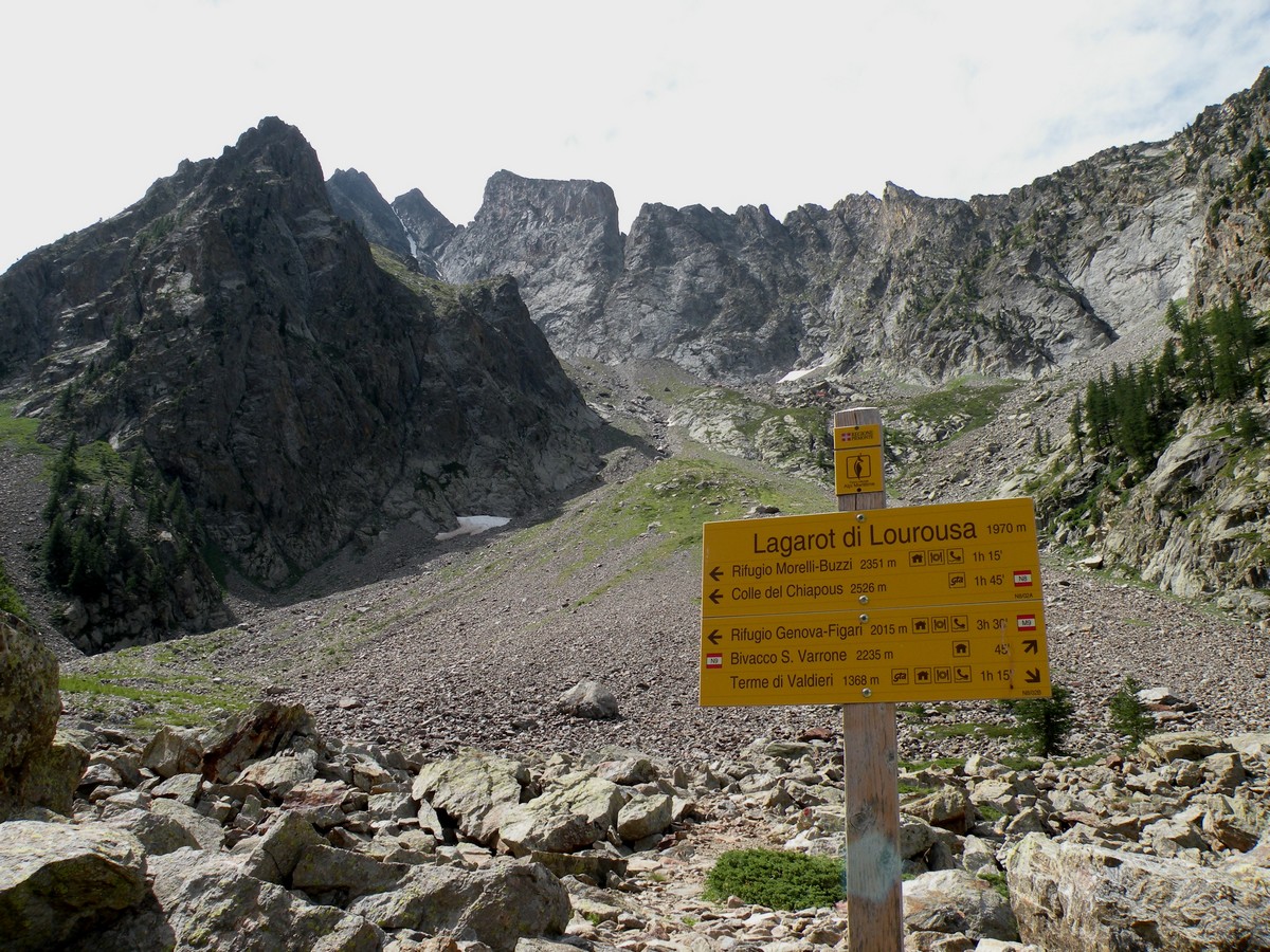
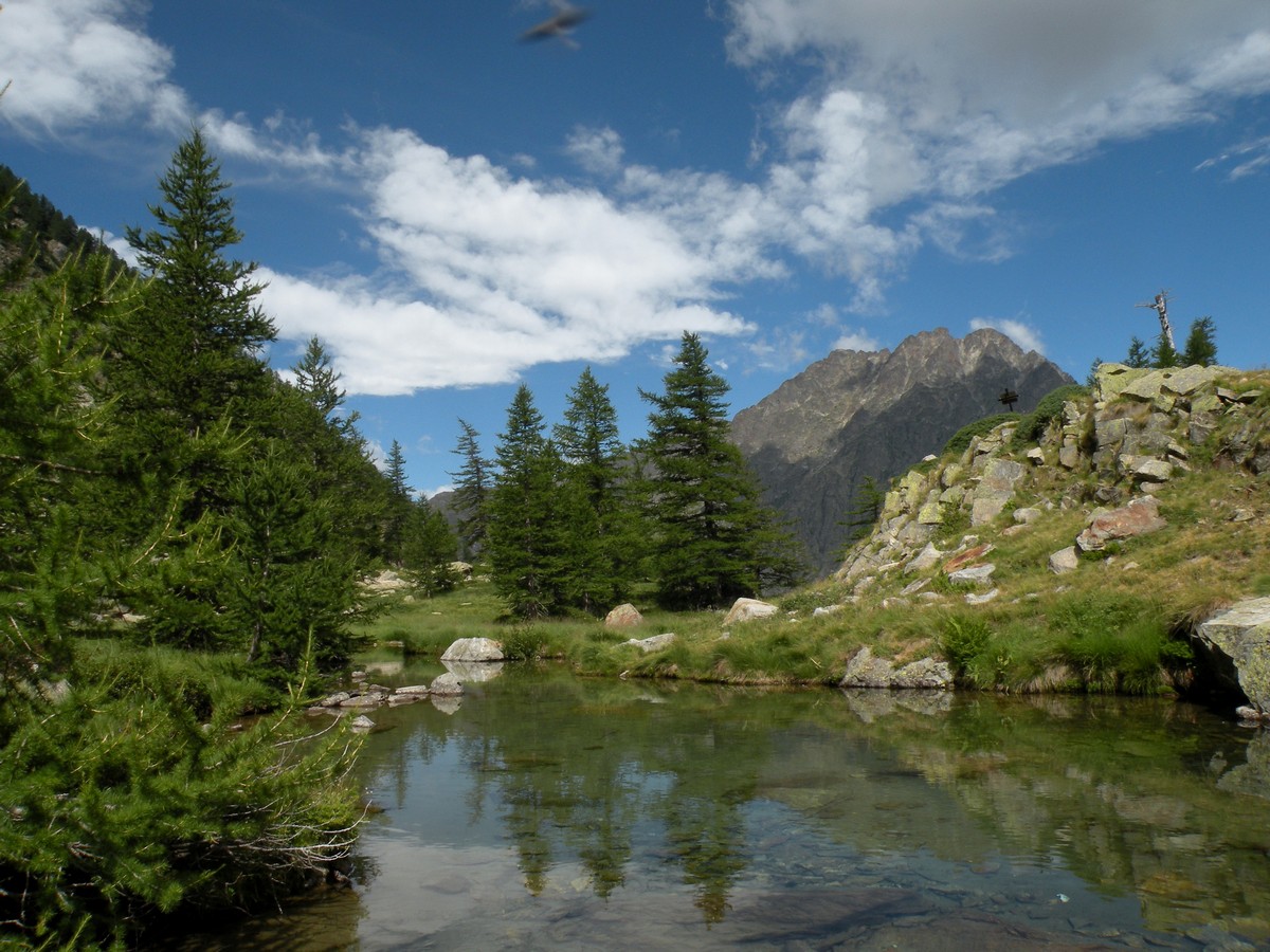
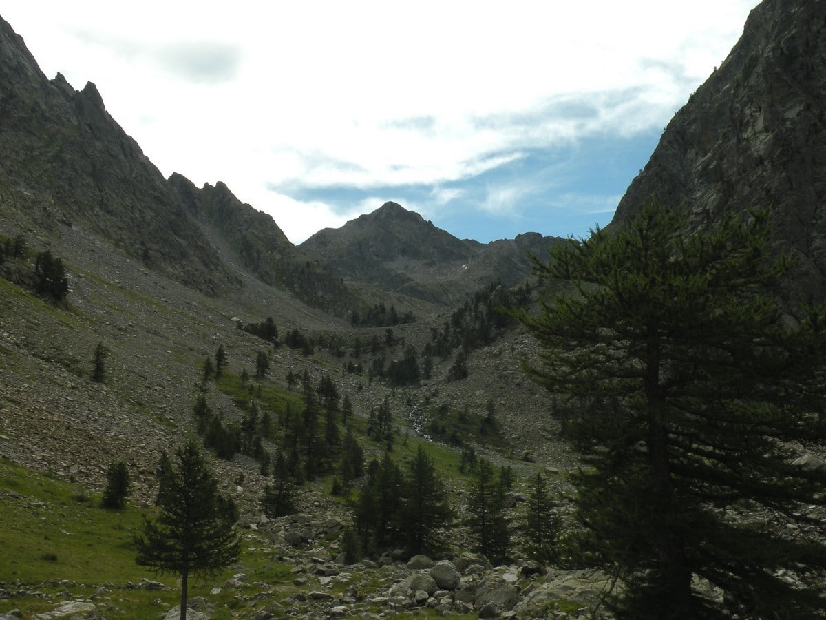
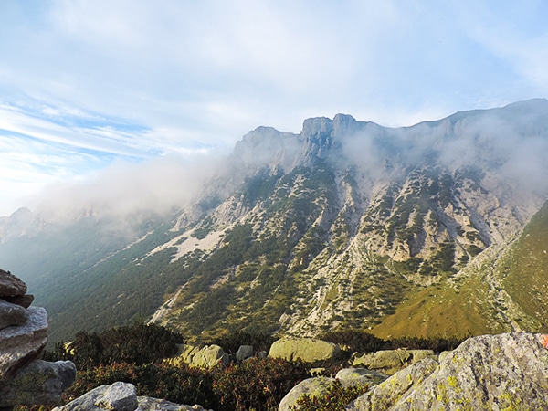
Eventually you will reach the Lagarot, in the local dialect it means “little lakes”. In front of you is the impressive cliffs of the Corno Stella and the Canale di Lourousa, rich with geological and alpinist history. Their shape is in contrast with the soft landscape of the Lagarot.
The return is on the same path you came in on.
Insider Hints
From Lagarot you can continue to the Rifugio Morelli (7713ft), and then to the Colle of Chiapous (8310ft). From that point you can get off to the Chiotas Lake and reach the Rifugio Genova (6591ft).
If you arrive from Torino, visit the nice town of Cuneo. There are lots of beautiful buildings in Cuneo. The churches and piazzas are a gorgeous as you would expect.
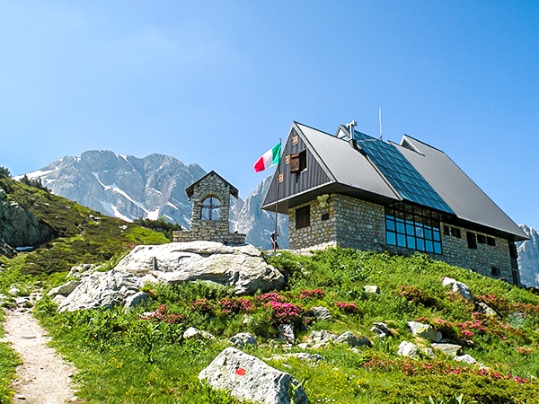
There are two great Rifugio’s in the area, if you’re looking for somewhere to stay, are the Rifugio Morelli or the Rifugio Genova. Rifugio Morelli has a good selection of wines; whereas Rifugio Genova is known for its polenta with sauces.

Similar hikes to the Lagarot di Lourousa hike
Rifugio Garelli
One of the many great Rifugios to hike to, the Garelli Rifugio is the only Rifugio in Valle Pesio. From…
Laghi Arbergh
The Arbergh Valley (roughly translating to the high meadows) is a particularly interesting place to hike because you’ll walk past…
Lago del Vei del Bouc
The Vei del Bouc Lake is one of the most beautiful lake hikes in Alpi Marittime Natural Park. There’s something…
Francesco D. 4 years ago
One of the nicest places with a good mountain view.
Udo Huber 4 years ago
Nice winding trail. Beautiful and quiet forest landscape.
FdChiking 4 years ago
Nice trail. Beautiful larch forest and peaks that you can see around you.
TeddyBear 4 years ago
A nice quiet walk suitable for everyone, unique landscape and panoramic views
Rolando Acciaio 4 years ago
I've been there more than once and it's always my best destination in Alpi
Gilberto Fattore 4 years ago
beautiful lake and this nature place always has its charm
Alexis Schweitzer 4 years ago
Fantastic mountain scenery on a mid-altitude plateau
MountainPaw 4 years ago
Beautiful scenery with a beautiful summer walk
Greenworld88 4 years ago
Hiking through the larch forest was a great experience. It was the most relaxing part of the trek that I truly enjoyed.
Matilda86 4 years ago
nice hike and it wasn't too steep