

Sunset Peak Alternate Approach Hike
View PhotosSunset Peak Alternate Approach Hike
Difficulty Rating:
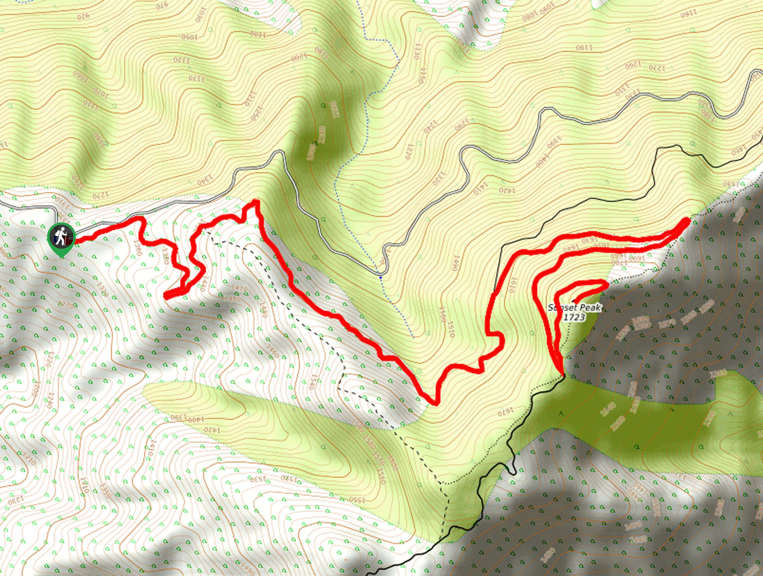
The Sunset Peak Alternate Approach Hike is a great intermediate-length route in Southern California that features some gorgeous canyon views. While out on the trail, you will make your way along the well-maintained Sunset Ridge Fire Road, before arriving at the summit of Sunset Peak for beautifully scenic views. While this route can be popular at times, it is still possible to find a bit of solitude in the off-peak hours of the day.
Getting there
The starting point for the Sunset Peak Alternate Approach Hike can be found at the Sunset Peak West Trailhead on Glendora Ridge Road.
About
| Backcountry Campground | No |
| When to do | April-October |
| Pets allowed | Yes - On Leash |
| Family friendly | Older Children only |
| Route Signage | Average |
| Crowd Levels | Moderate |
| Route Type | Out and back |
Sunset Peak Alternate Approach Hike
Elevation Graph
Weather
Sunset Peak Alternate Approach Hike Description
If you are looking to get out into the mountains of the Angeles National Forest, but don’t want to tackle too strenuous of a trail, then the Sunset Peak Alternate Approach Hike will be a great option to explore. Make sure to have your adventure pass visible in your vehicle prior to starting your hike!
Setting out from the trailhead, you will make your way east and follow the path across the undulating landscape. Eventually, you will turn south to make the final approach to the summit of Sunset Peak, where you will enjoy some lovely views overlooking the canyon and the city below. After taking in the sights, simply retrace your steps to return to your vehicle.
Similar hikes to the Sunset Peak Alternate Approach Hike hike
Mount Zion via Lower Winter Creek Trail Loop
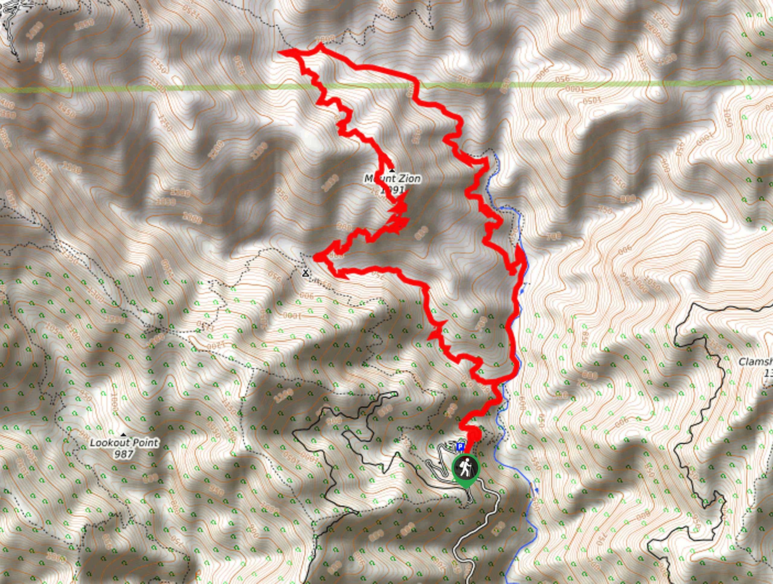
The Mount Zion via Lower Winter Creek Trail Loop is a physically demanding Southern California adventure that features waterfall and…
Castaic Falls Trail
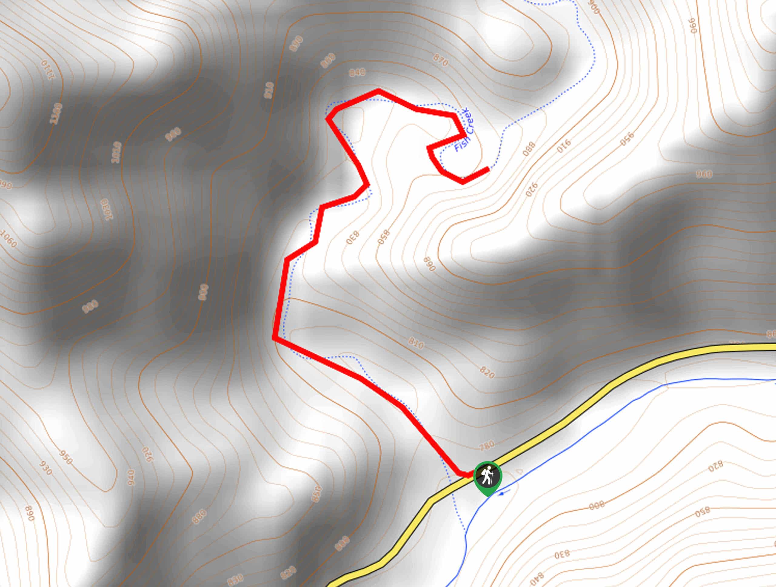
Hiking the Castaic Falls Trail is a fun little adventure in the Angeles National Forest that features a charming waterfall.…
Graveyard Truck Trail
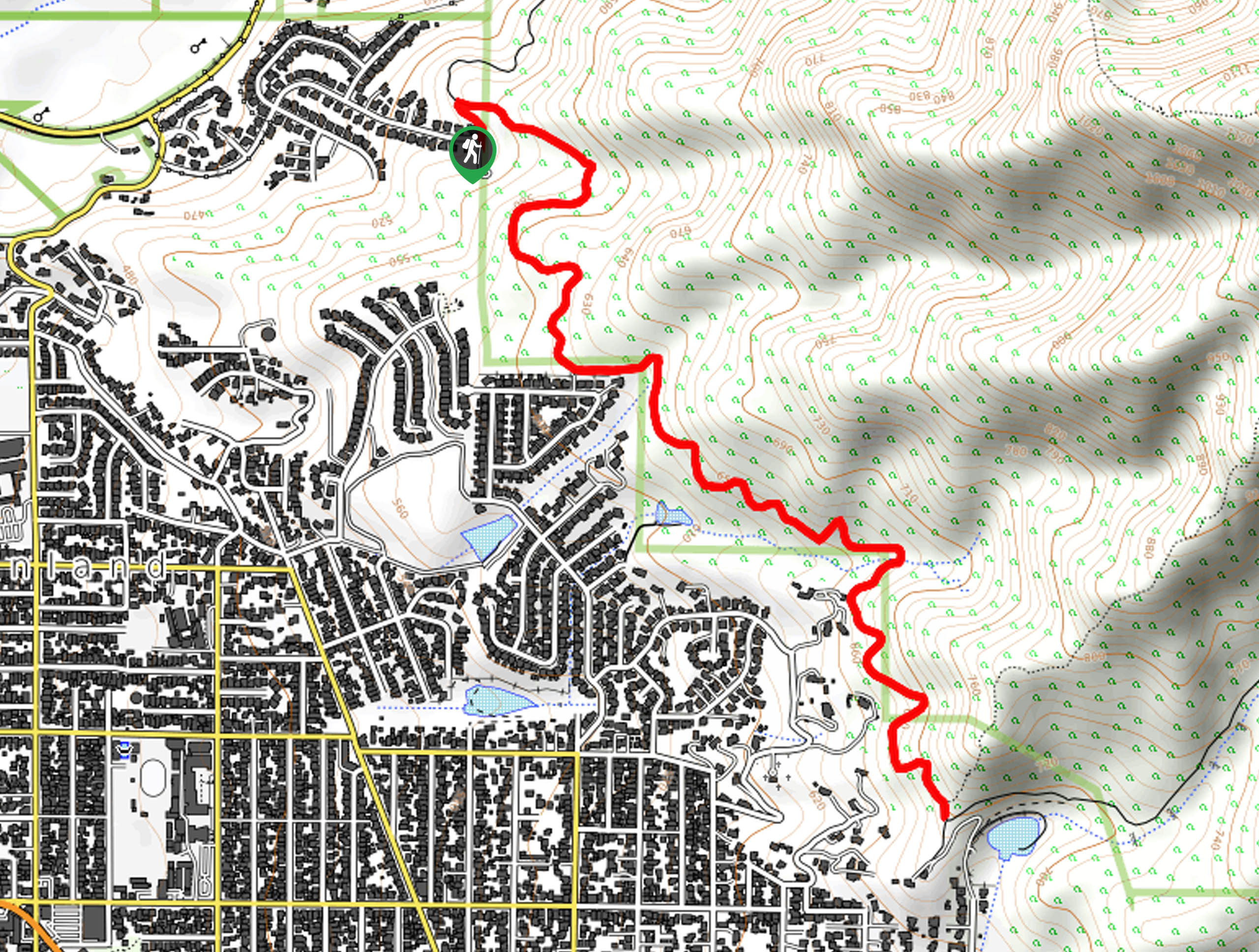
Hiking the Graveyard Truck Trail is a pleasant experience in Southern California that features easy-going terrain and views of the…



Comments