Southfork Mountain and Barnaby Ridge Scramble
View Photos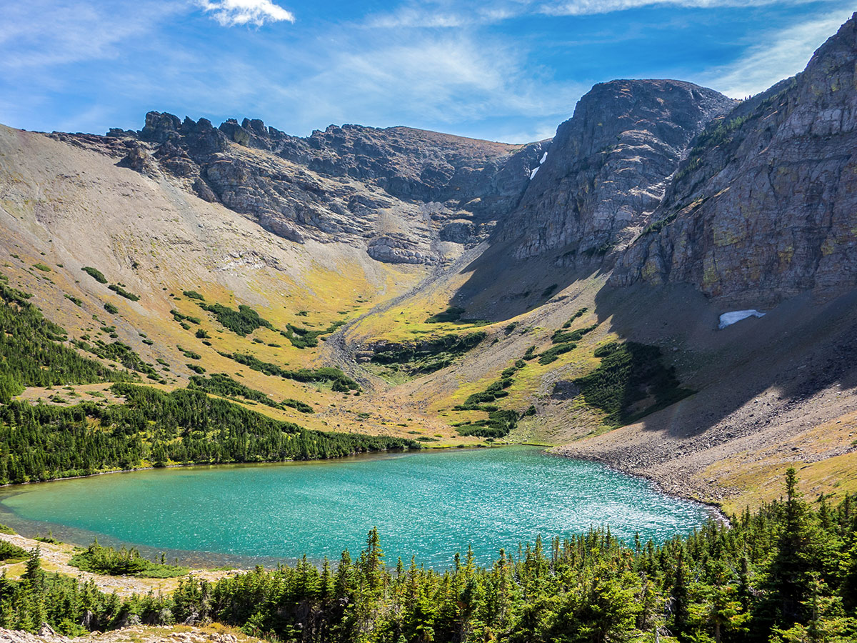
Southfork Mountain and Barnaby Ridge Scramble
Difficulty Rating:
This scramble to Southfork Mountain and Barnaby Ridge has it all, a backcountry campsite on beautiful Southfork Lakes, a long ridge top traverse, and spectacular scenery throughout!
Getting there
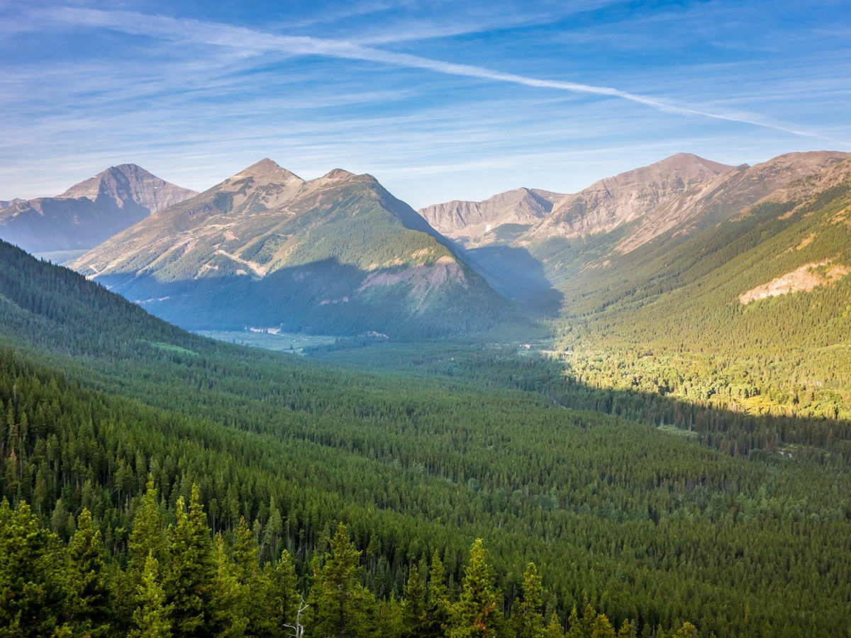
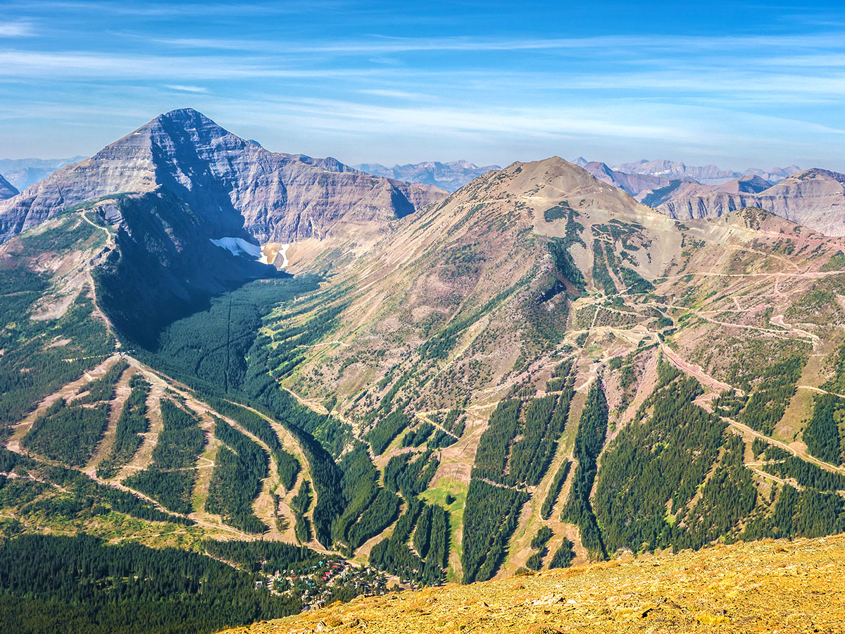
The trailhead is a dirt road with a blue street number sign about 2.5mi before Castle Mountain Resort. The road heads to a research station that is partially visible from the road, so this can help locate it. Drive to the end of the road near the Castle River.

About
| When to do | June - September |
| Backcountry Campsites | Southfork Lakes |
| Toilets | Southfork Lakes |
| Pets allowed | Yes - On Leash |
| Scarmbling Rating | Grade 1 |
| Exposure | Mild |
| Family friendly | No |
| Route Signage | Good |
| Crowd Levels | Low |
| Route Type | Out and back |
Southfork Mountain and Barnaby Ridge
Elevation Graph
Weather
Route Description for Southfork Mountain and Barnaby Ridge
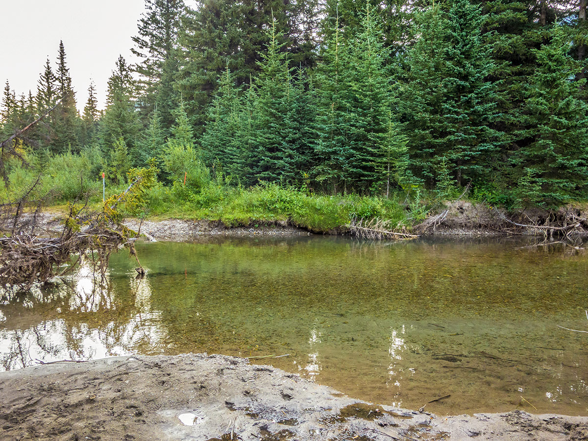
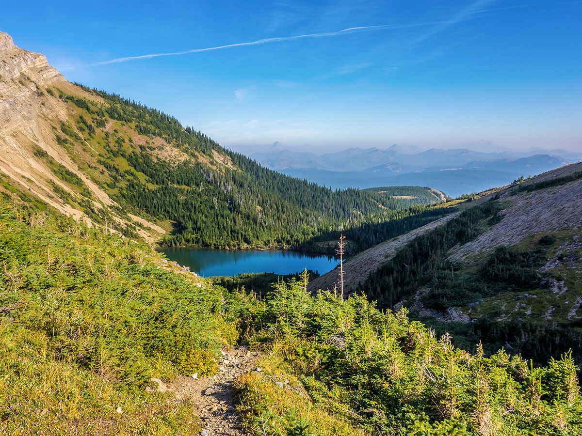
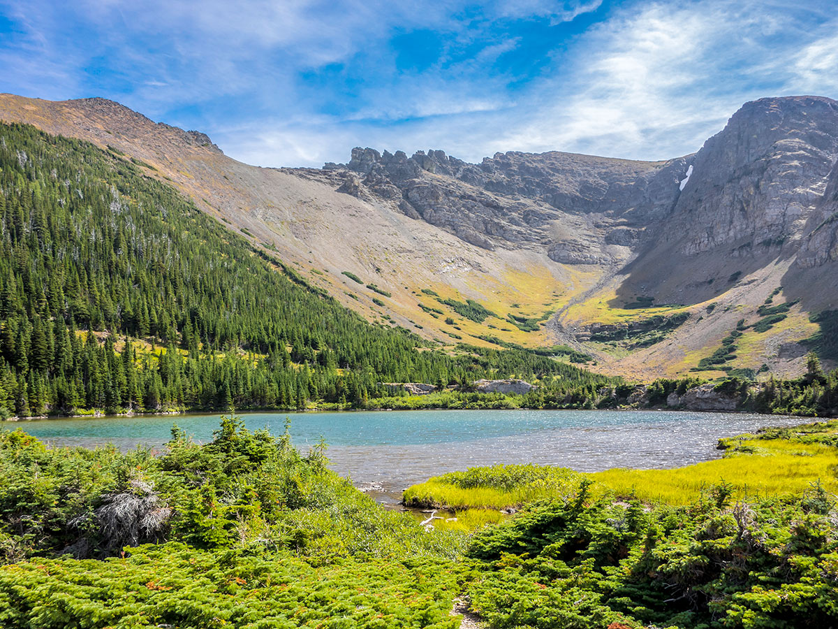
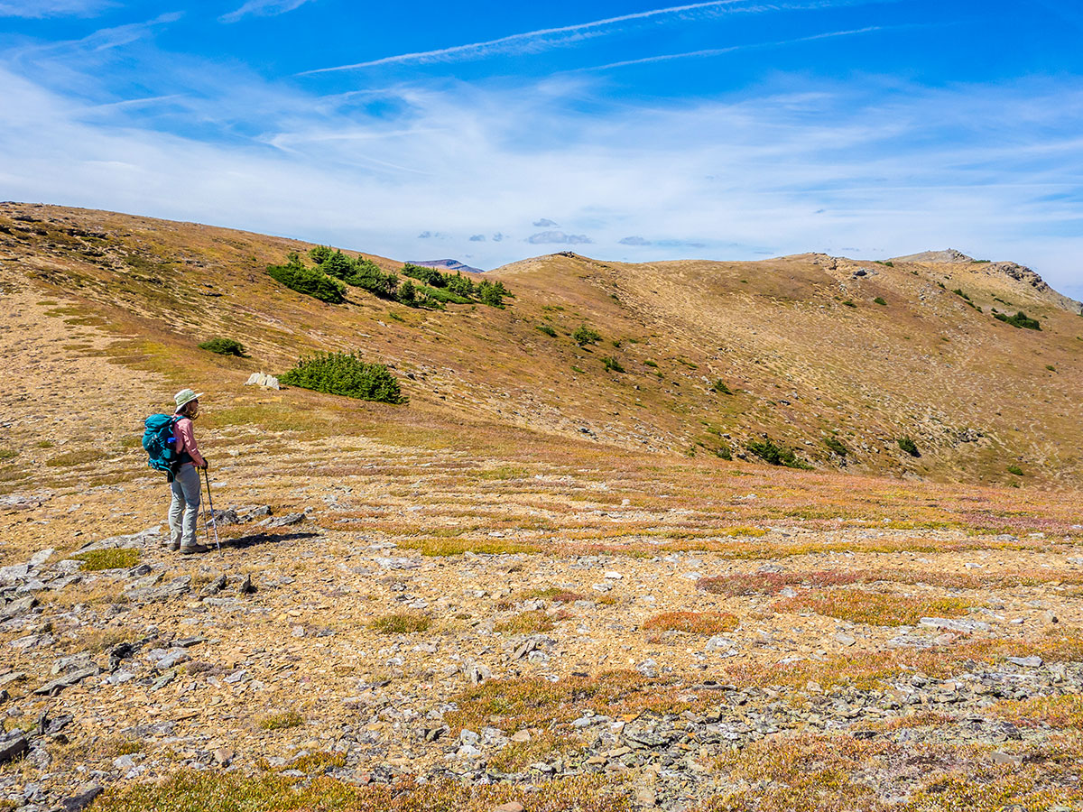
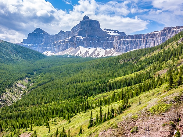
You will start the scramble to Southfork Mountain by crossing the river, which can be quite shallow and easy to cross once the early-season runoff is done. You will find the signed trail on the other side. Trail markers, in fact, start even before the river crossing and an excellent trail has been cut through the krumholtz between the Southfork Lakes.
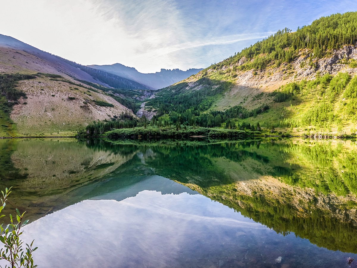
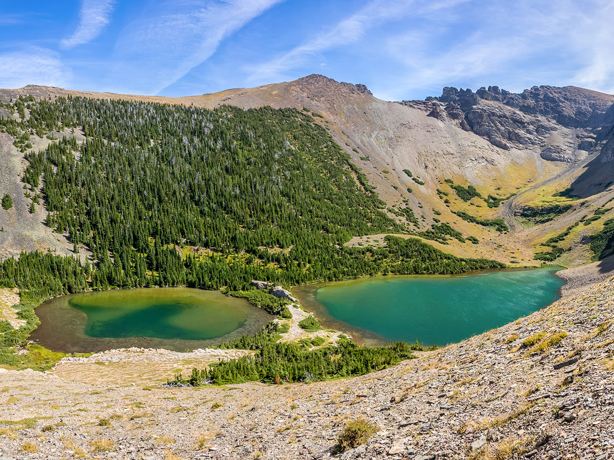
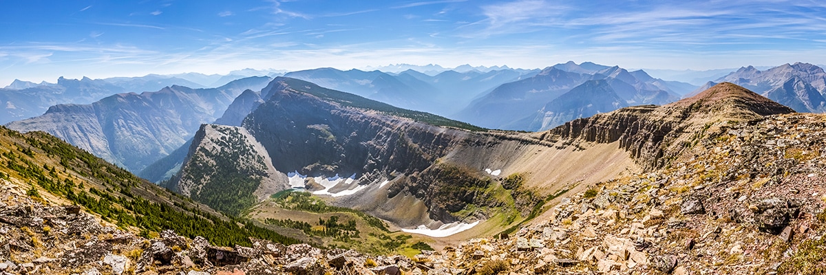
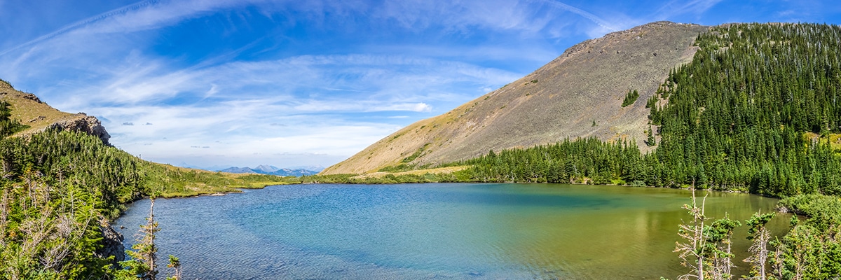
The trail across the river begins quite gently, but soon steepens dramatically, gaining 1476ft over just 0.9mi. Most of this ascent is on open hillside, and can be very hot if starting in the afternoon. The ascent relaxes near the lower of the three Southfork Lakes! A few very nice informal campsites are located on the edge of the lake and can make a nice base camp for exploring.
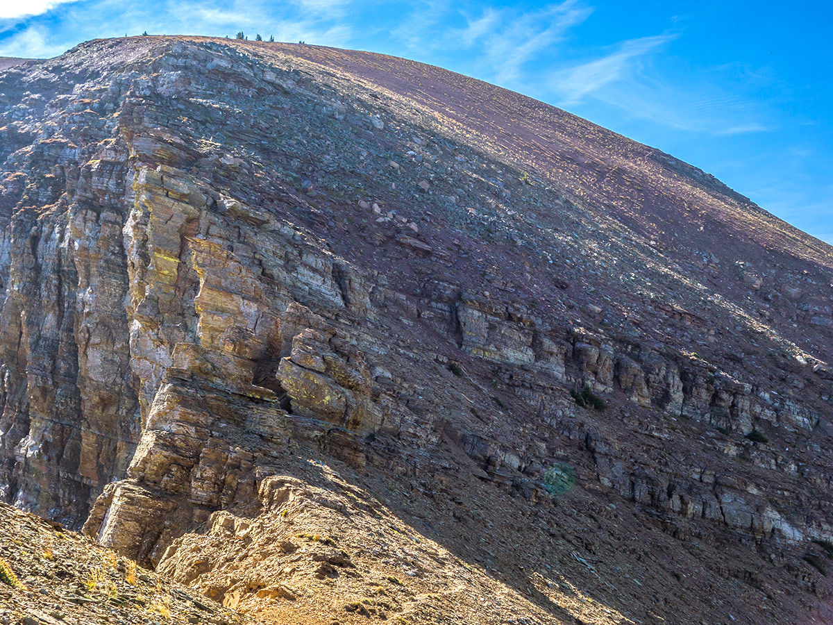
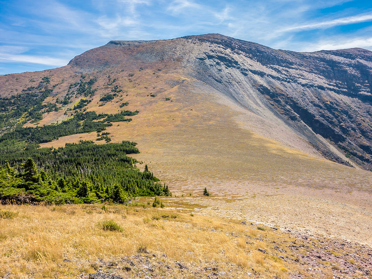
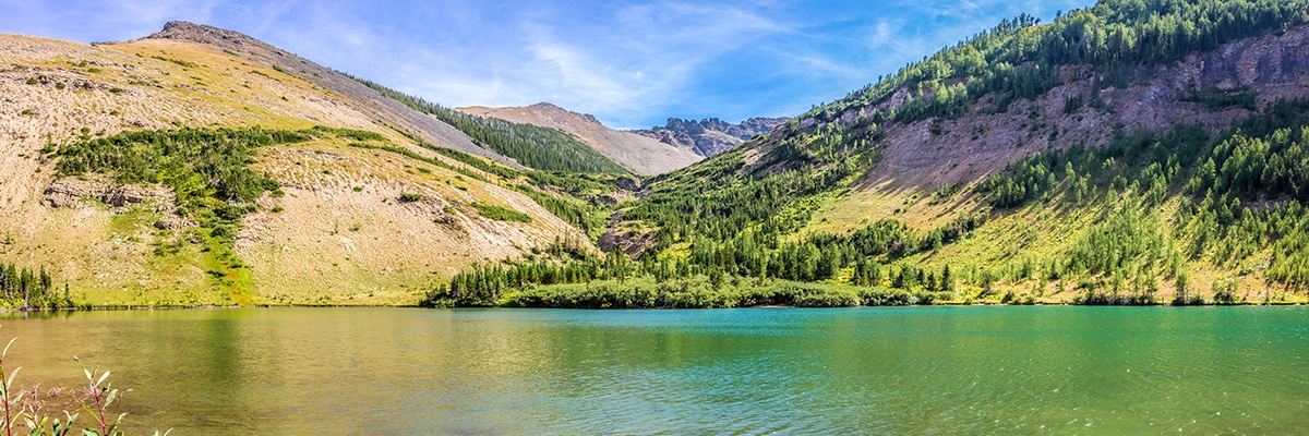
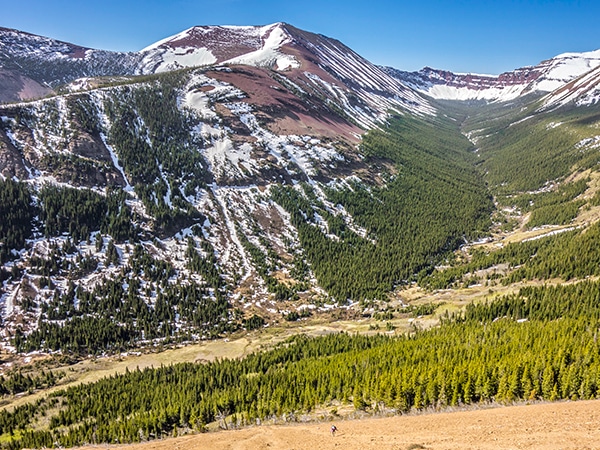
Contour around the lower Southfork Lake on good trail before a moderately steep ascent, still on good trail, and you will come to the second Southfork Lake. At this point turn west and start the steep, off-trail ascent to the summit of Southfork Mountain over mixed, easy terrain. At times you walk through a beautiful larch forest, eventually reaching the summit just 40 minutes after departing Southfork Lakes.
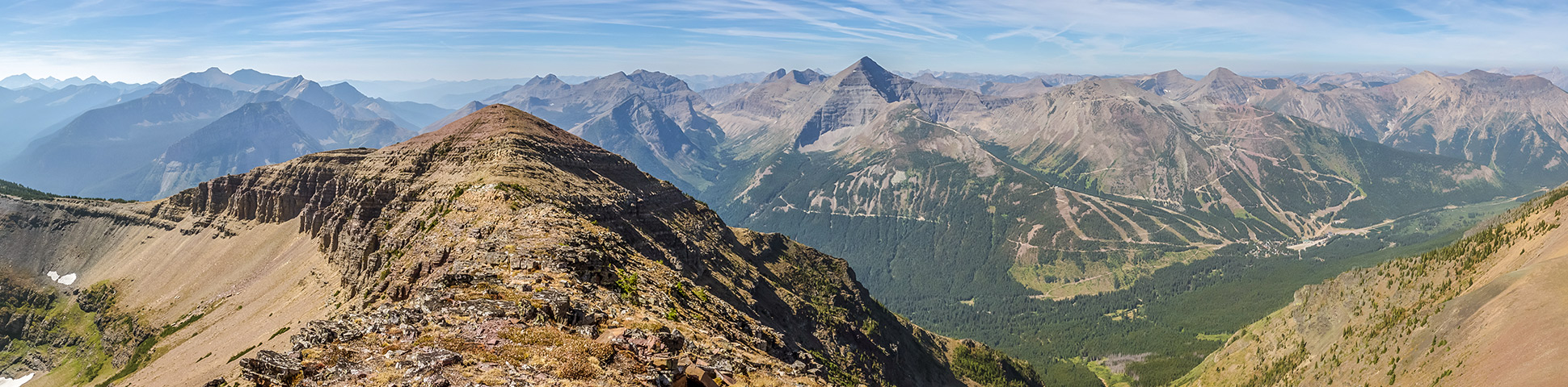
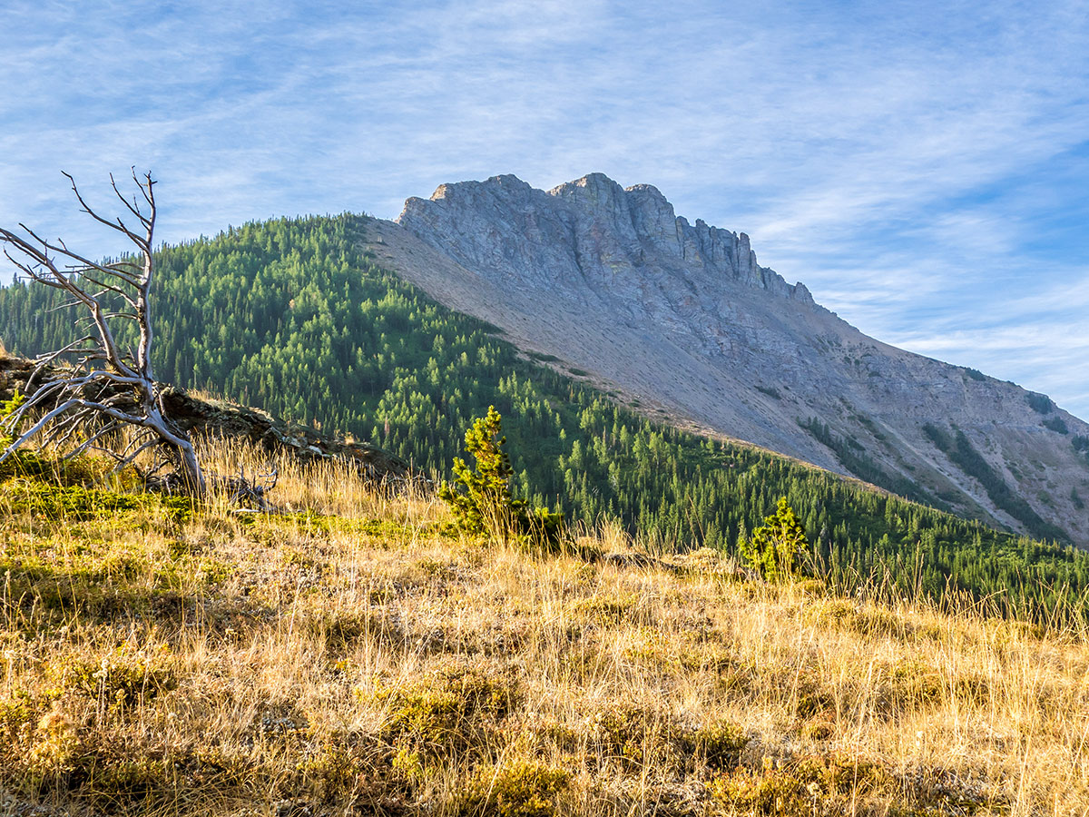
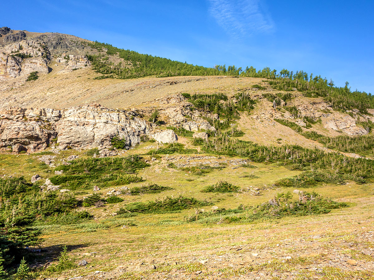
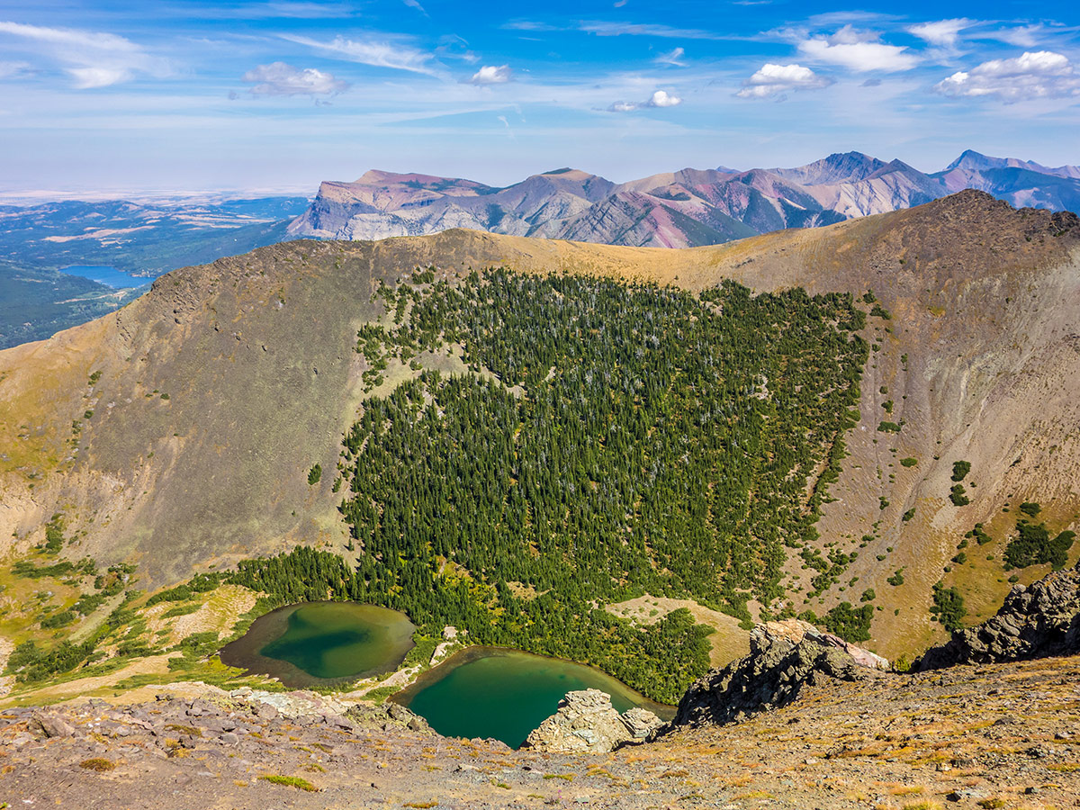
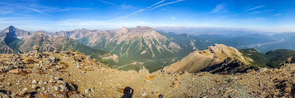
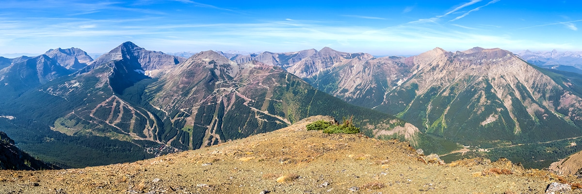
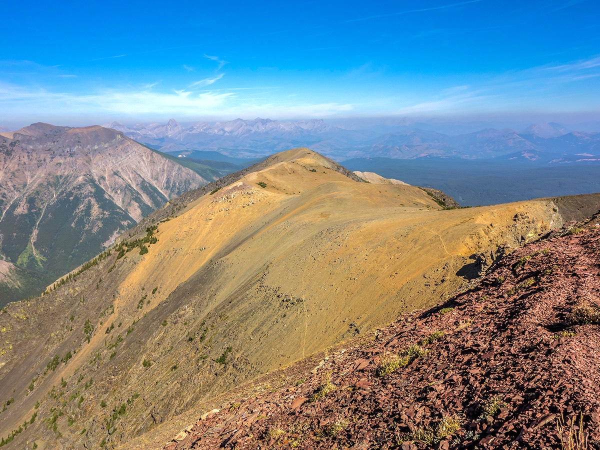
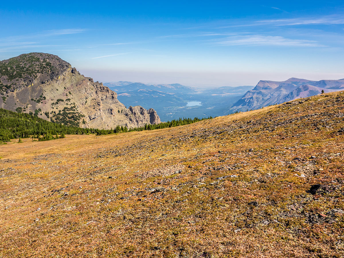
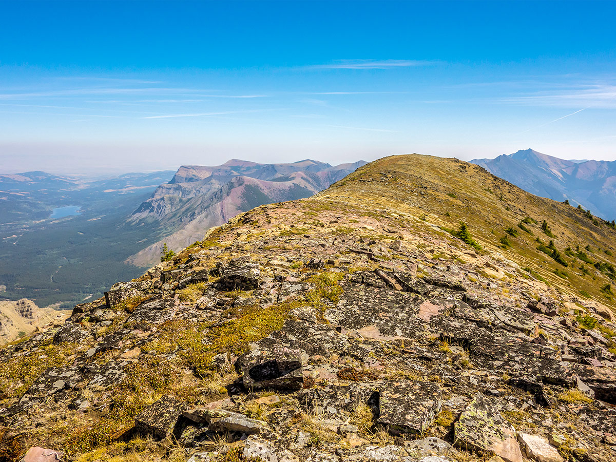
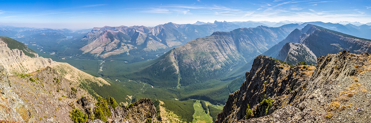
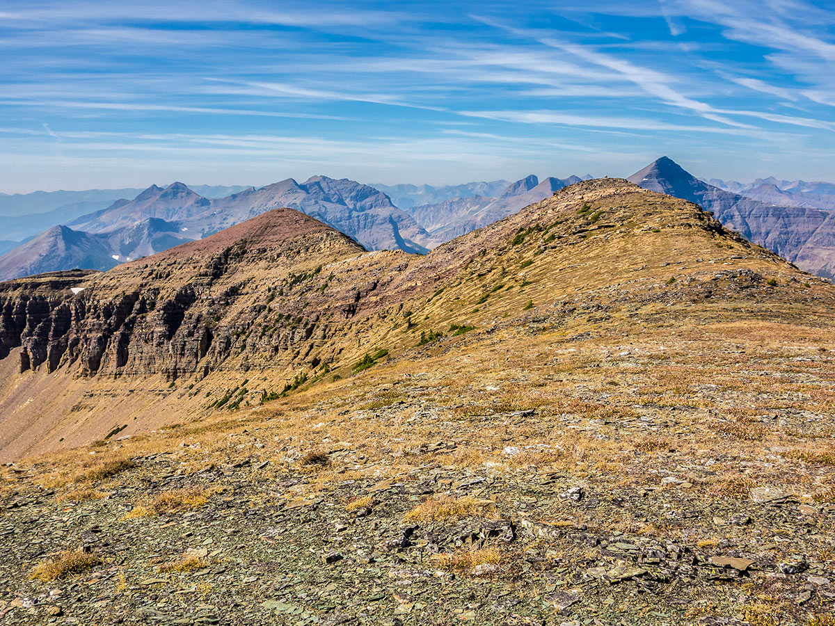
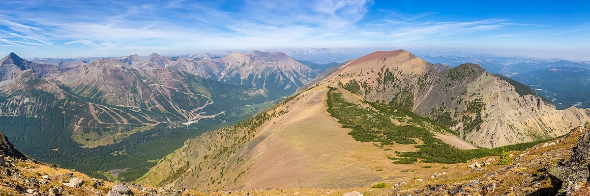
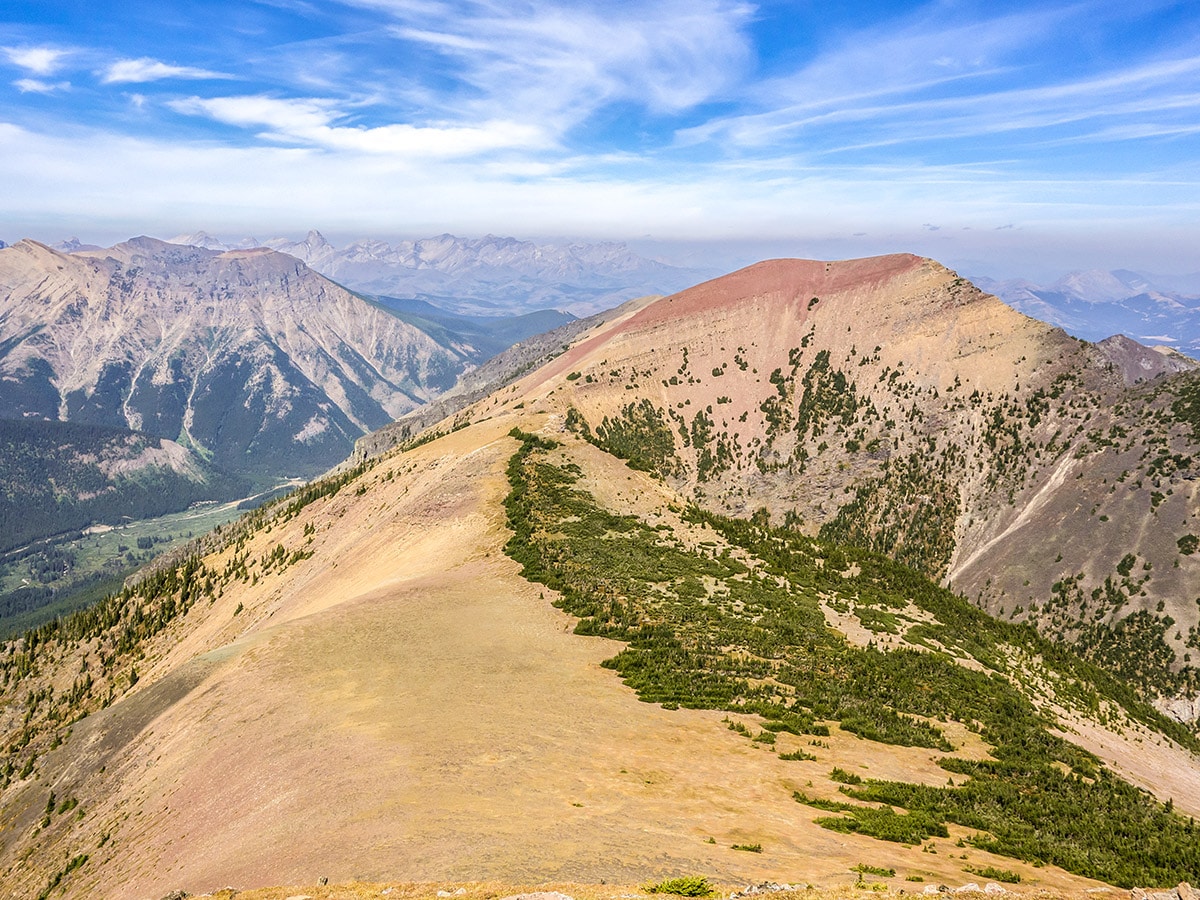
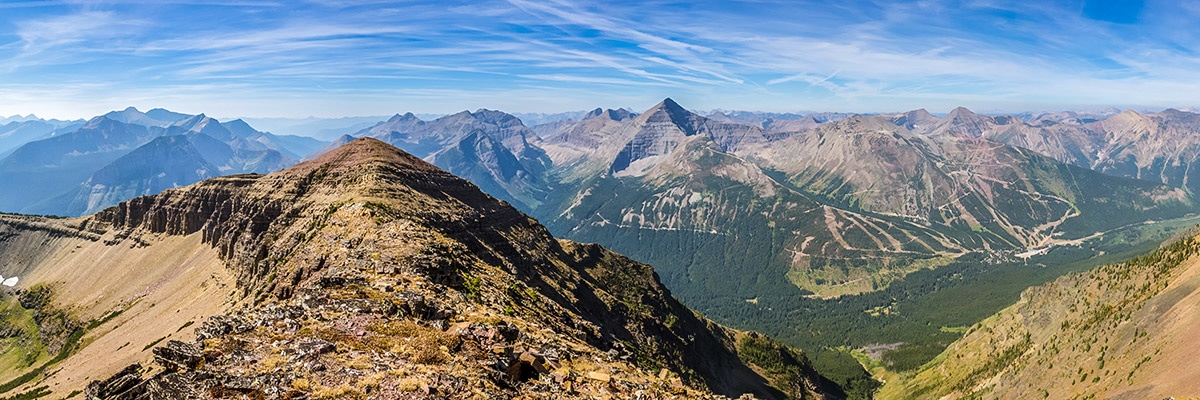
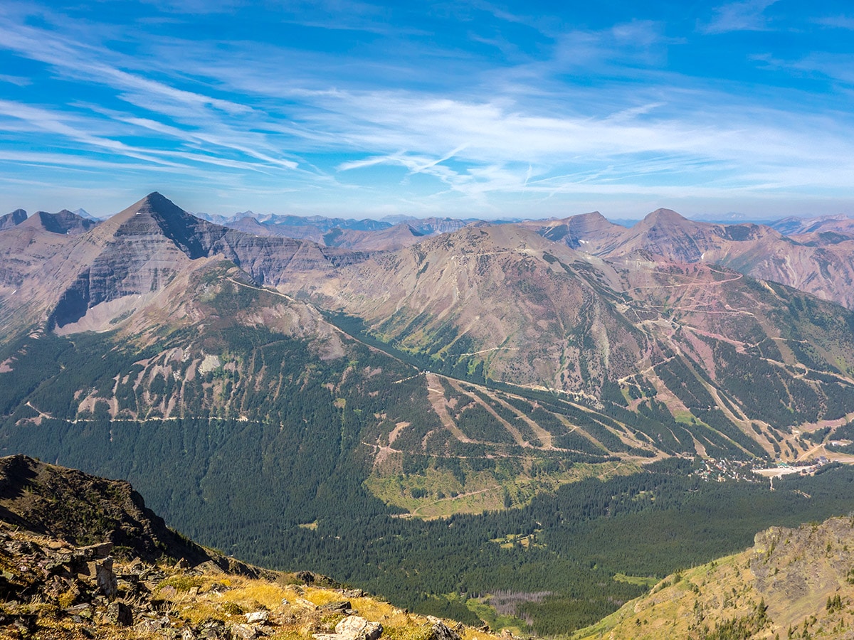
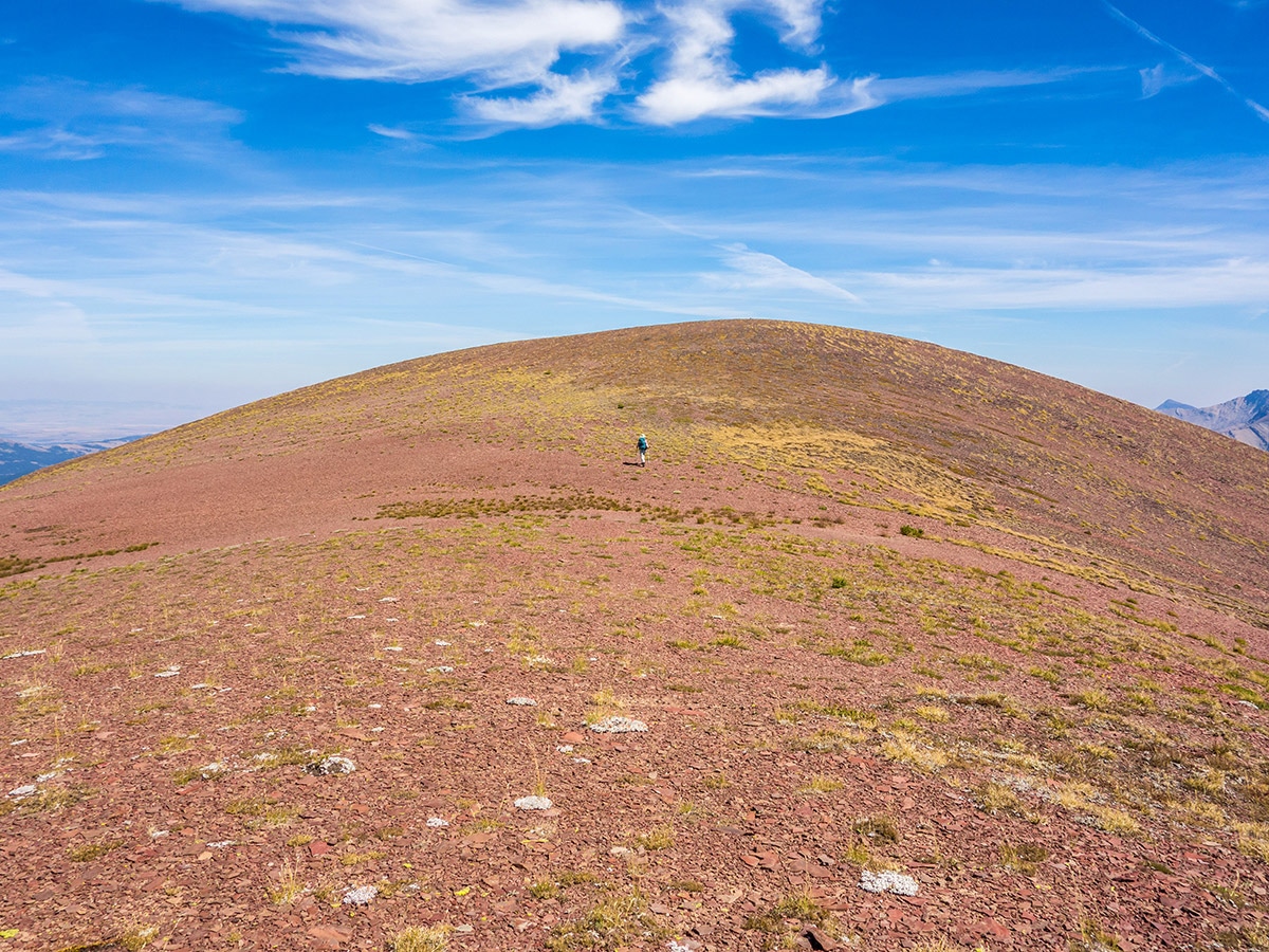
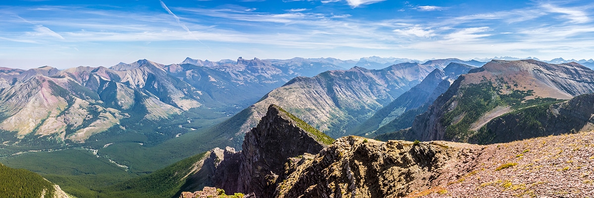
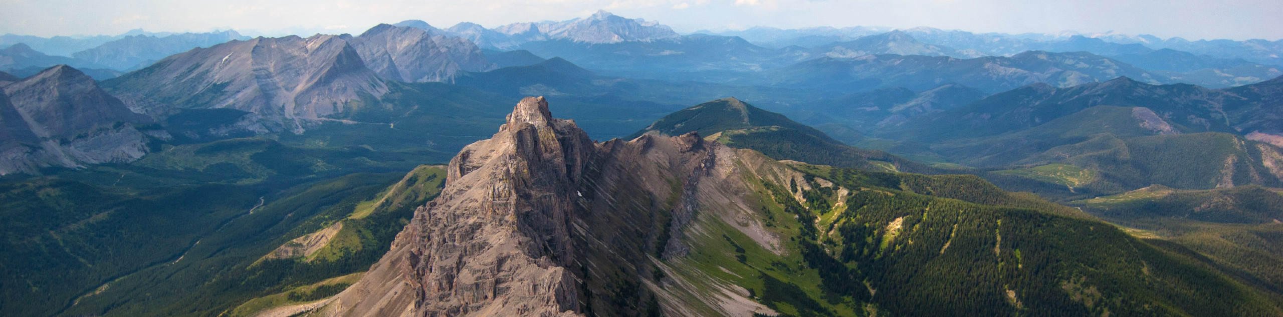
After this 3281ft ascent to Southfork Mountain, take a break and enjoy the views then head south along the very broad and pleasantly hike-able Barnaby Ridge.
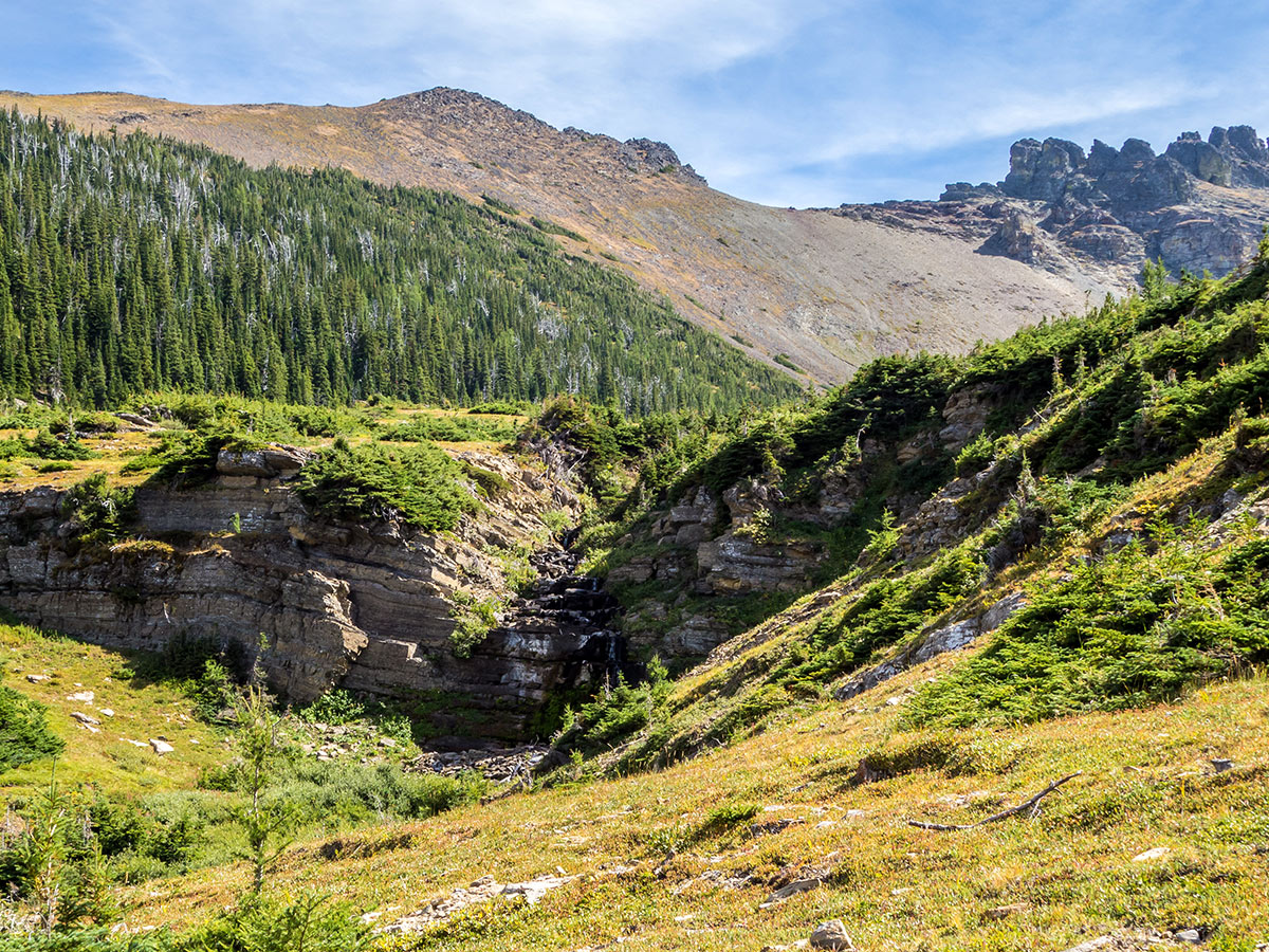
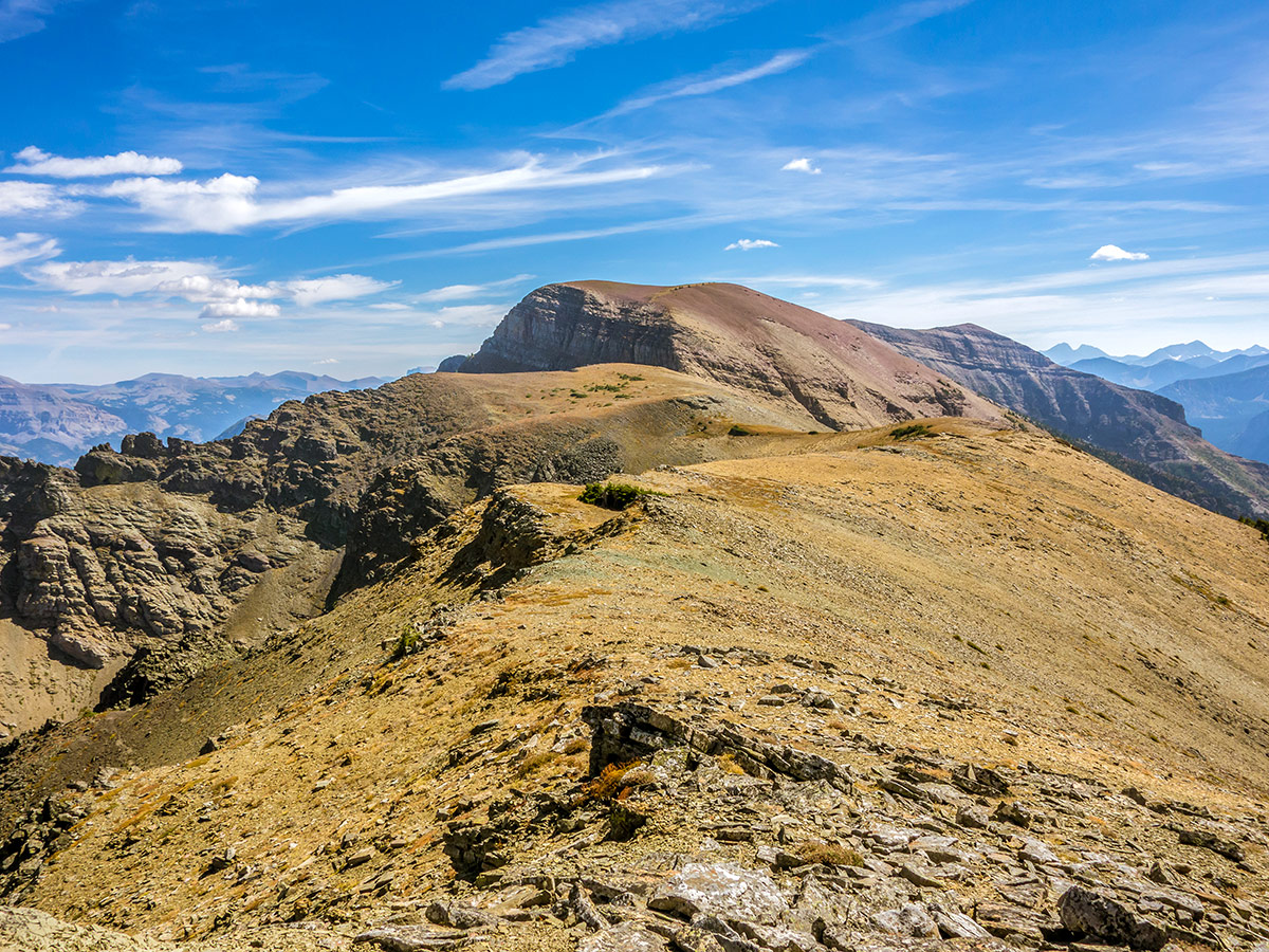
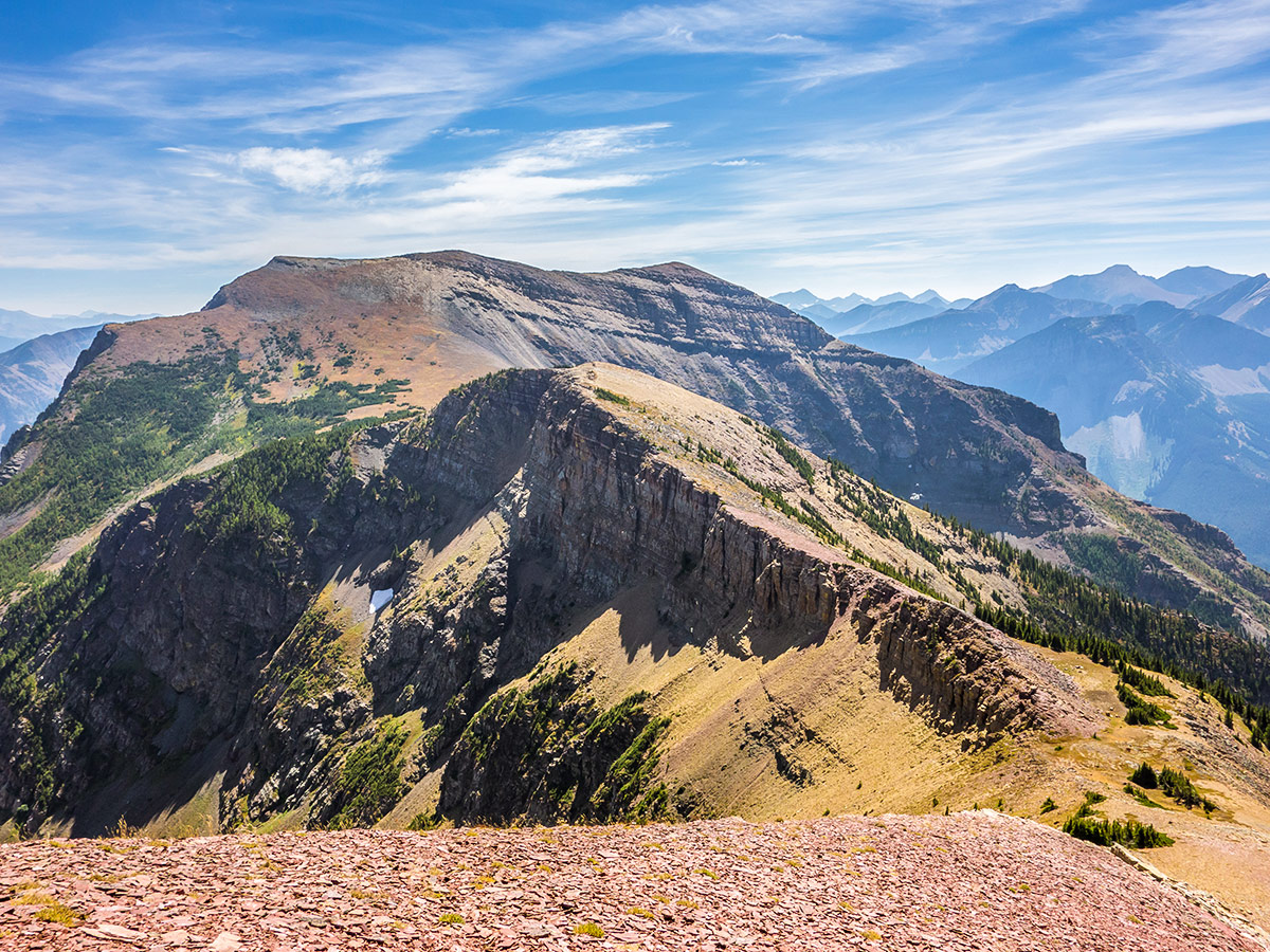
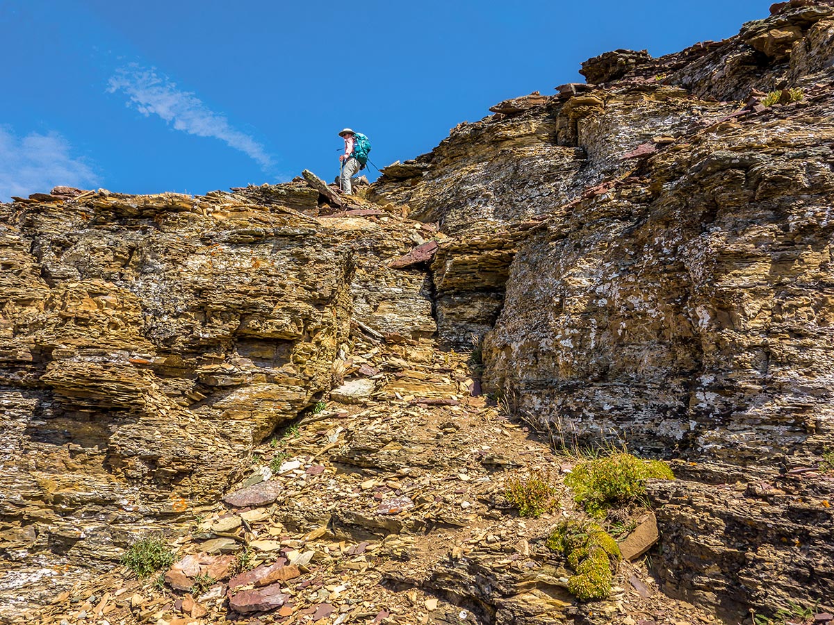
The midway point between Southfork and Barnaby, nicknamed The Amoeba, looks quite daunting from a distance. However, as you approach the cliffs on its north-end, multiple easy scramble routes reveal themselves with a trail indicating the most popular option. Follow this trail around The Amoeba without gaining too much elevation.
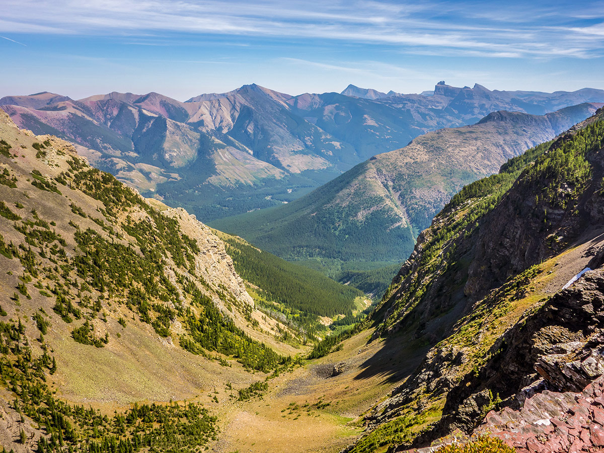
On the south side of The Amoeba you lose over 328ft, gain a bit of it back before losing it again, then head up the final 574ft to the summit of Barnaby Ridge. The views from Barnaby Ridge are amazing, dozens of peaks to scramble are visible in all directions!
Return the way you came.
Insider Hints
This is a great option for a weekend ovenight backpack. Leave your tent at Southfork Lakes and then climb Southfork Mountain and along Barnaby Ridge.
You can shorten this walk along Barnaby Ridge if the total distance is too long, it’s a big day.
Start early, as this is a big day and Barnaby Ridge can get very hot on a summer day!
If you need a snack, the only nearby option is the Beaver Mines General Store in Beaver Mines before heading home for the day.

Similar Scrambles to the Southfork Mountain and Barnaby Ridge Scramble
Crowsnest Mountain
Crowsnest Mountain is a popular scramble that requires a good understanding of the route before departure. This trail is a…
Mount Gladstone
A scramble up Mount Gladstone is a wonderful day out in the Castle! A nice trail alongside a lively creek,…
Pincher Ridge
Pincher Ridge is located near the heart of Castle Wildland Provincial Park, a spectacular part of the Canadian Rockies. The…
CamilaP. 4 years ago
Steep trail to the lakes, off trail to the ridge and beyond. Such a fantastic hike with great scenery and lovely lakes
Matt Ducker 4 years ago
It was a rough and tough climb. Very demanding but worth it. It's a never to be forgotten experience. Make sure to bring enough water and pack some foods that would last the entire trip.
Joshua Zagreb 4 years ago
It was certainly a long and strenous climb. Not for the faint of heart. But I highly recommend it to all those who are capable of doing it.
Harry S. 4 years ago
There's a trail across the river that begins quite gently but soon steepens dramatically. So be careful with that. Some of the ascents are on the open hillside and can be very hot especially in the afternoon.
Perry K. 4 years ago
A trail with a backcountry campsite on beautiful Southfork Lakes. It also has a long ridge-top traverse. Beautiful scenery awaits at the end.
Haffy K. 4 years ago
Fantastic hike with a lot of different scenery. Beaver Mines General Store has a lot of great snacks to offer. A tiring but fun hike.
Otis Webster 5 years ago
Enchanting views and scenic views along the way. There was never a dull moment while doing the hike. Expect to sweat a lot if you plan to do this hike. Bringing some trekking poles would help, but they are not required.
Stoves_M 5 years ago
Everywhere you look is something special!