
Mount Gladstone Scramble
View Photos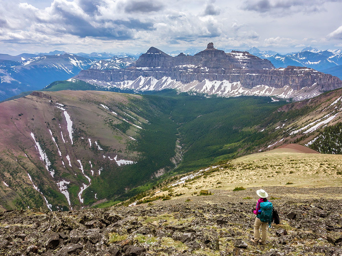
Mount Gladstone Scramble
Difficulty Rating:
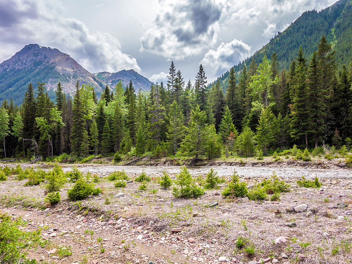
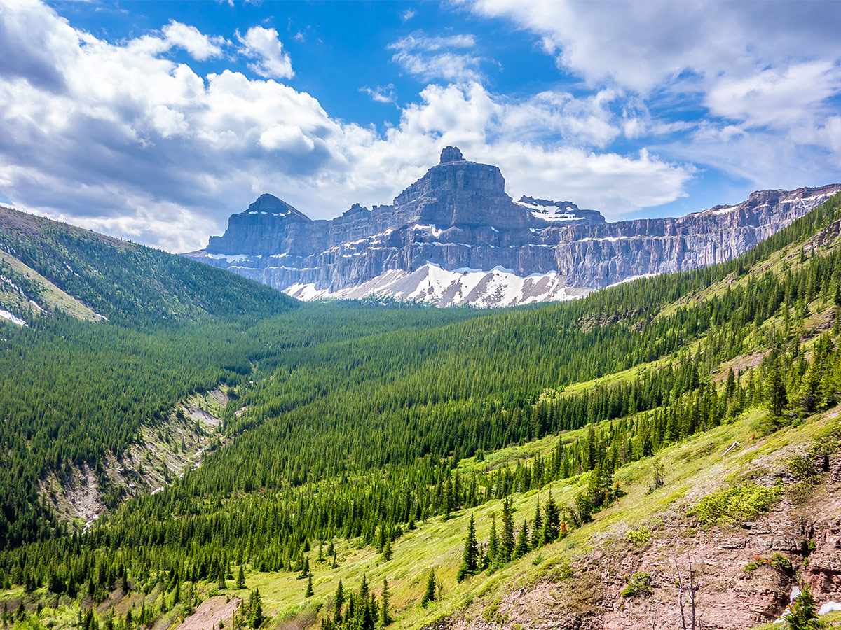
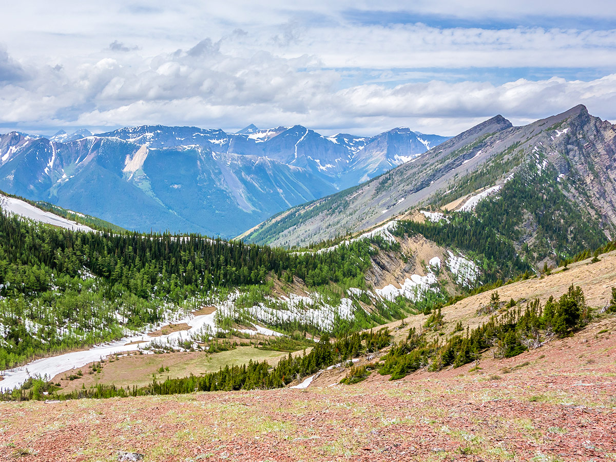
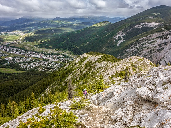
A scramble up Mount Gladstone is a wonderful day out in the Castle! A nice trail alongside a lively creek, a colorful ascent, and unparalleled views of Castle Peak and Windsor Mountain make it one of the most scenic mountains in the entire park!
Getting there
From Beaver Mines, head east on Highway 507 for 2.2mi. Turn left onto Range Rd 20A for about 4.0mi, then left onto Range Rd 21A for 1.7mi. Where the road splits go left, now on Range Road Rd 22A. Follow this for 2.8mi and then go right. Follow this for 0.9mi and go right again and follow this road for 1.0mi until you come to a fence surrounding the small gas installation, where you park.

About
| When to do | June - September |
| Backcountry Campsites | None |
| Toilets | None |
| Pets allowed | Yes - On Leash |
| Scarmbling Rating | Grade 1 |
| Exposure | None |
| Family friendly | No |
| Route Signage | None |
| Crowd Levels | Low |
| Route Type | Out and back |
Mount Gladstone
Elevation Graph
Weather
Route Description for Mount Gladstone
The scramble up Mount Gladstone is a great route, however, there is a bit of trail-finding and bushwhacking. We suggest taking a GPS device with the map loaded to assist you on this scramble.
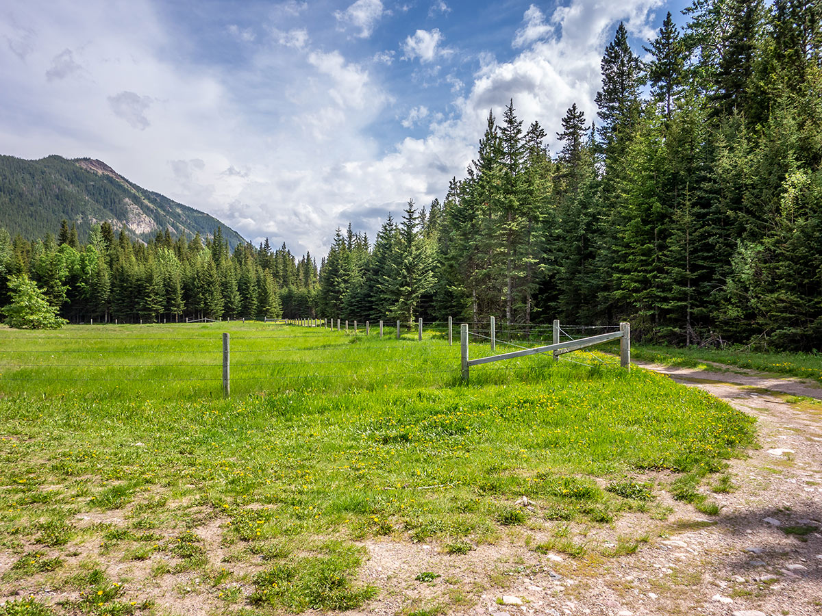
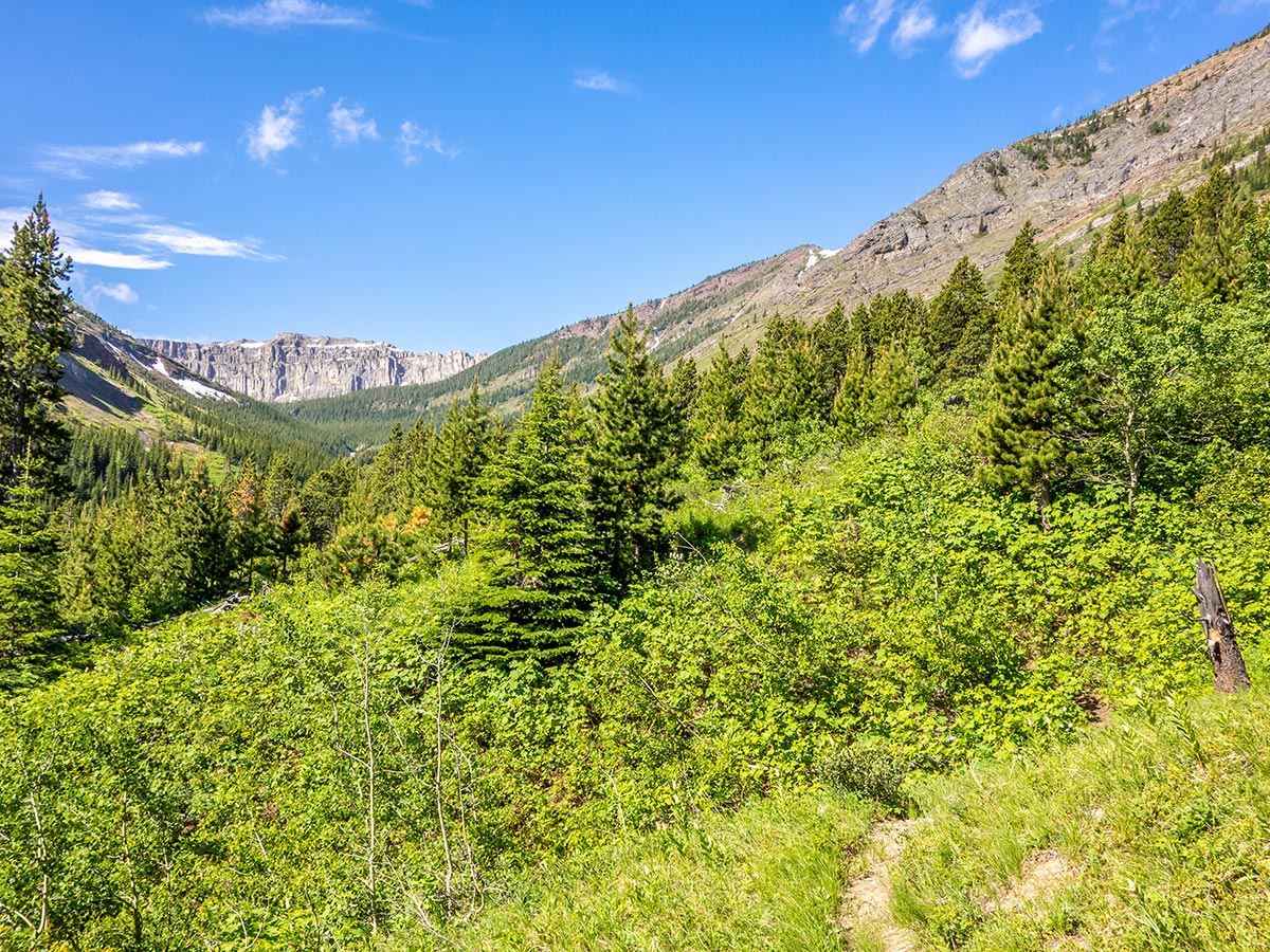
From your parking spot, make your way along the barbed wire fence for 328ft, then contour left along a road leading into the forest. Here you need to keep your eyes out because taking the wrong trail can lead to a much longer and trying day!
DO NOT take the wide, obvious trail leading upstream that looks like a horse trail. If you take this route there will be a faint trail with many river crossings, a lot of trail-finding, and bushwhacking.
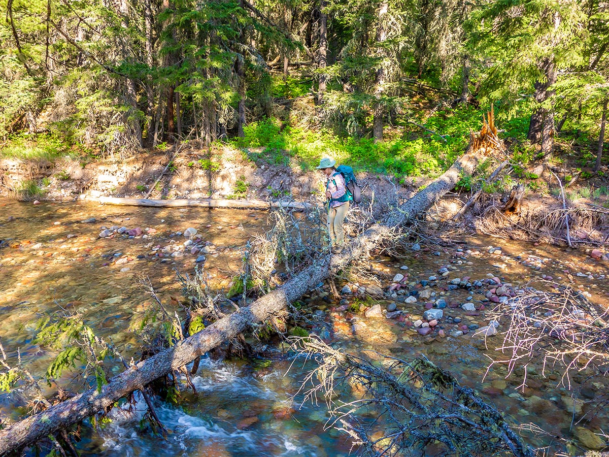
Instead, continue past this point to find an ATV trail which will lead you through the forest to a single river crossing.
Once you cross the creek you will see a cairn marking a trail heading into the bush. This trail is obvious, but long sections of it have been taken over by alder bushes and you may have to plow through them. The trail is in reasonable condition aside from a few washouts and a mudslide higher up the creek.
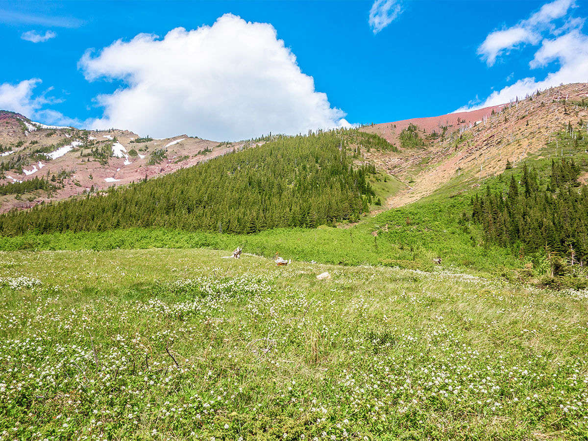
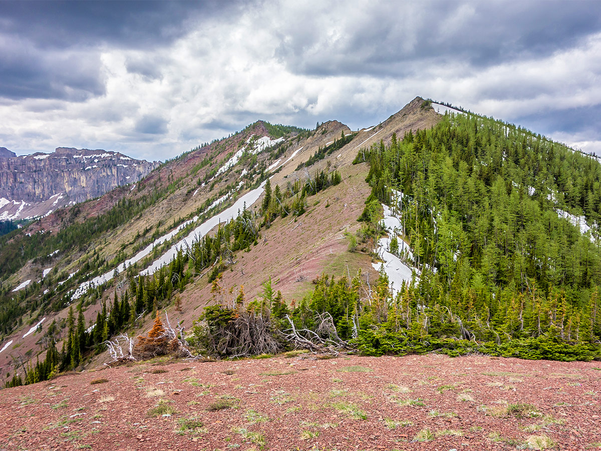
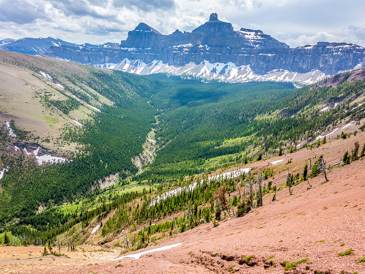
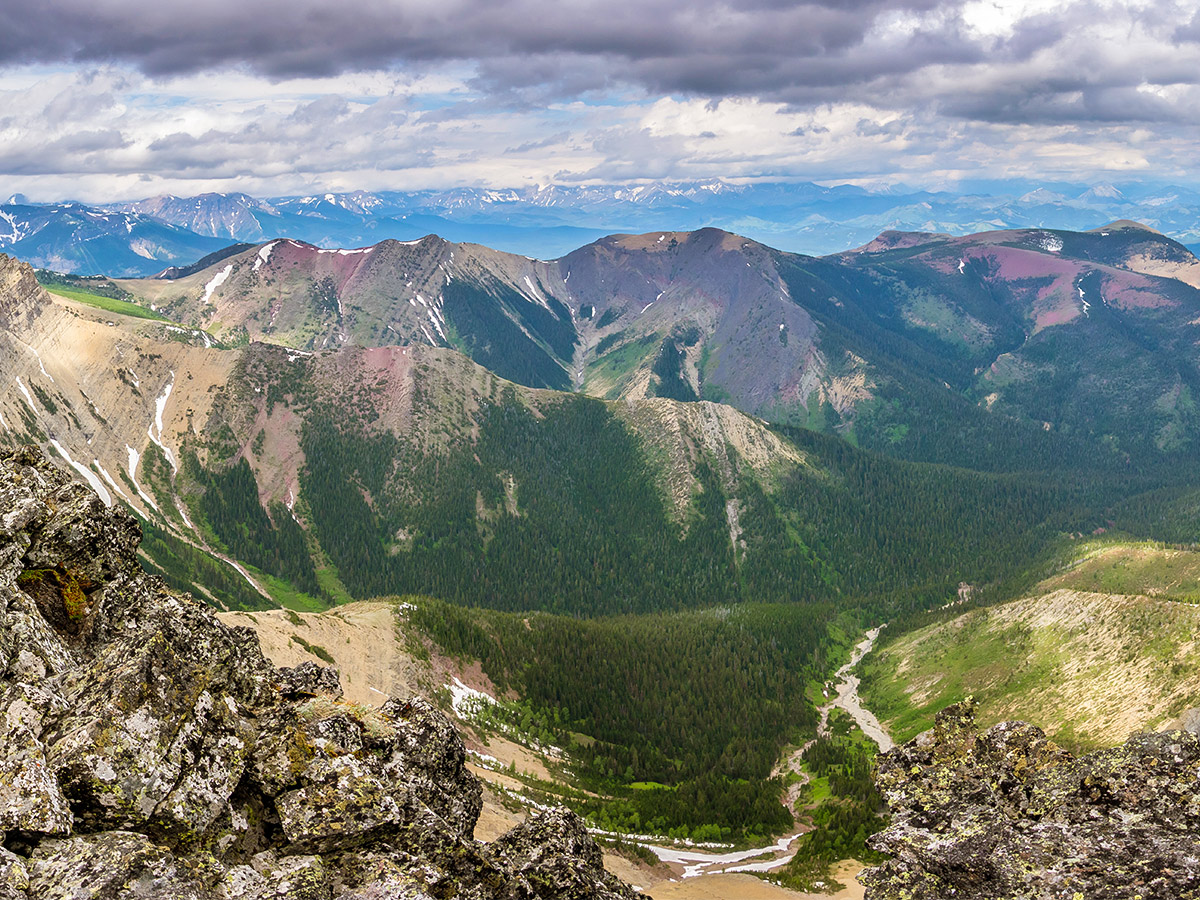
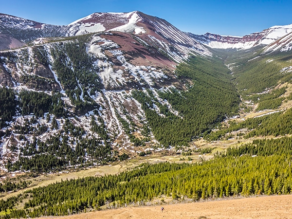
Continue around the base of Mount Gladstone, as the trail trends to the right and goes across numerous avalanche paths. This would be a terrible winter route, however, in summer the avalanche paths allow views as you are out of the trees.
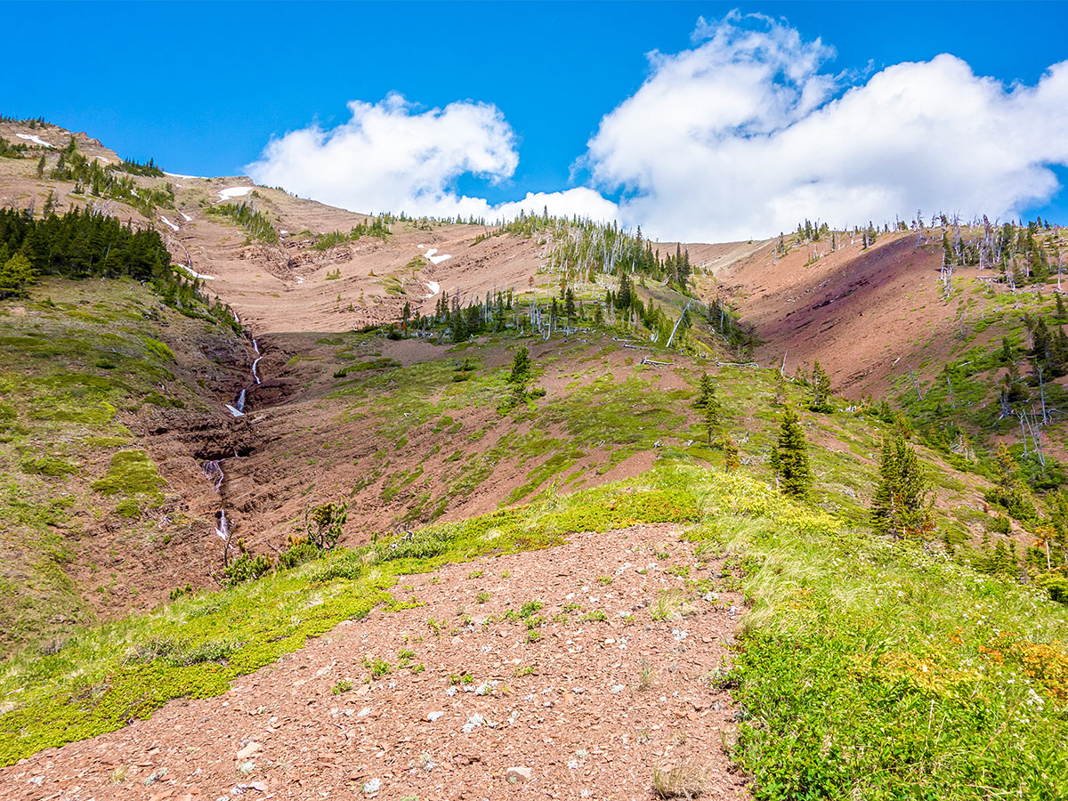
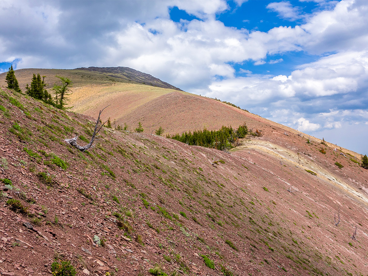
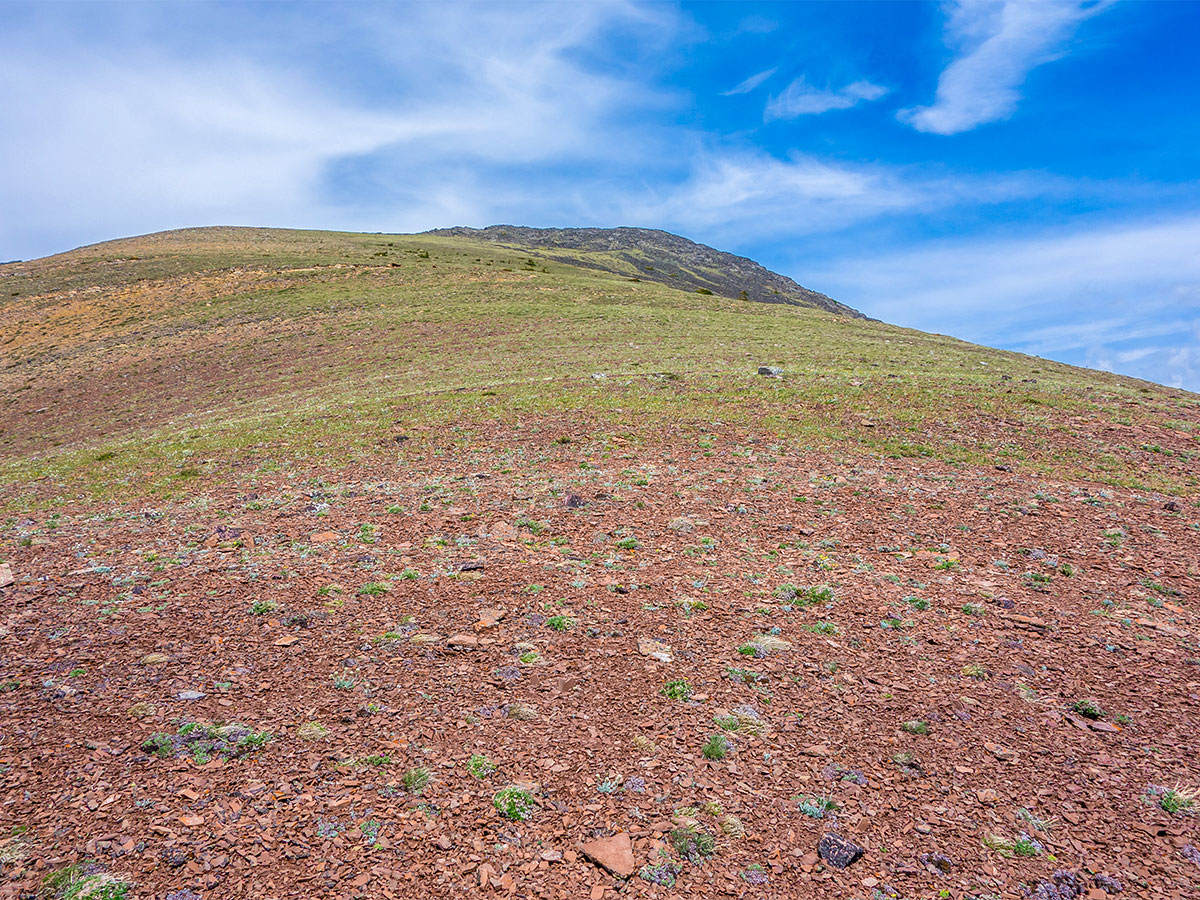
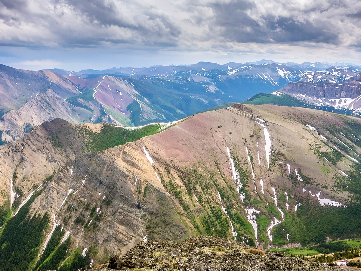
Eventually you come out of the trees and you reach the base of the general route up Mount Gladstone. This is towards the westernmost of several partially forested scree ribs. The scree on this rib is generally very stable and patches of vegetation help when it is not.
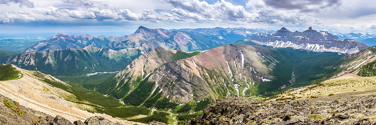
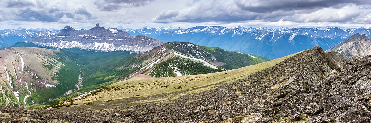
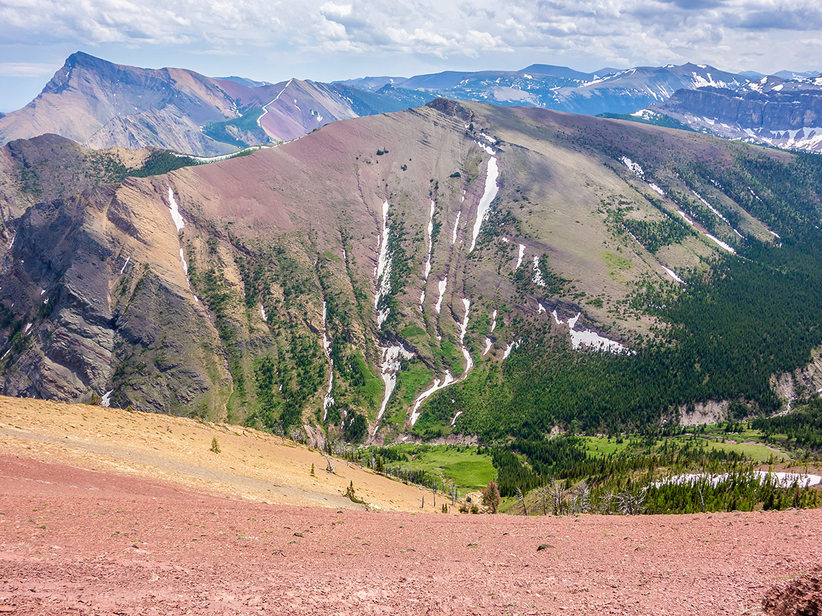
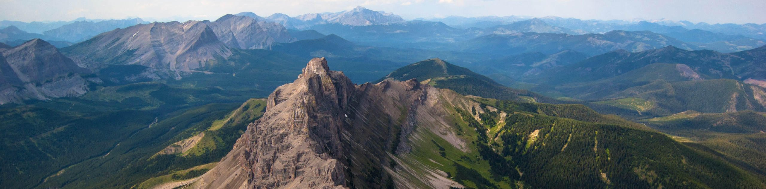
Once you reach the low point on the ridge separating Mount Gladstone from North Castle, travel from this point to the summit, 1.2mi away and 656ft higher, is very easy. Views from the summit are nice in all directions and the view of Castle Peak to the southwest is absolutely spectacular.
To get back to your car at Mill Creek, follow the alternate descent route, scree skiing most of the way down with a few little zig zags to avoid problematic sections. The scree here is very loose and would be quite difficult to ascend.
Continue back the way you came.
Insider Hints
The Castle area is notoriously windy, so be prepared for increased winds once you’re in the alpine.

Similar Scrambles to the Mount Gladstone Scramble
Crowsnest Mountain
Crowsnest Mountain is a popular scramble that requires a good understanding of the route before departure. This trail is a…
Pincher Ridge
Pincher Ridge is located near the heart of Castle Wildland Provincial Park, a spectacular part of the Canadian Rockies. The…
Turtle Mountain
The rockslide off Turtle Mountain over a century ago fractured the mountain on a scale that is difficult to imagine,…
Haffy K. 4 years ago
Tough but rewarding hike. Views from the summit are amazing in all directions. Also, the view of Castle Peak is breathtaking.
Rebel M. 5 years ago
The trail goes across numerous avalanche paths. Be careful when you're hiking in winter. The alpine is windy.
Coll A. 5 years ago
Nice trail alongside a lively creek, a colorful ascent, and unparalleled views of Castle Peak. Windsor Mountain is the most beautiful mountain in the entire park. Great place to take a lot of photos.
Clark Hermano 5 years ago
Trail finding was really challenging. The views were great though so I didn't mind getting lost.
Fredie L. 5 years ago
This hike is kinda easy but there is a bit of trail-finding and bushwhacking. I highly recommend that you bring a GPS device with you. A trail where you're being surrounded by forests.
Alex Lavinson 5 years ago
Outstanding views! The best scenery I've seen so far. Its beauty is unparalleled!
Stoves_M 5 years ago
We’ve visited here in the summer and in the late spring, and each time of year offers its own perks.
Jack Pimmles 5 years ago
nice adventure. Really makes you work for the goal. And good awards I'd say.