Pincher Ridge Scramble
View Photos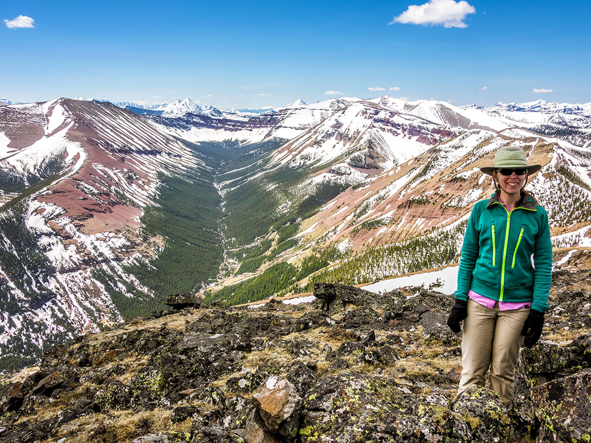
Pincher Ridge Scramble
Difficulty Rating:
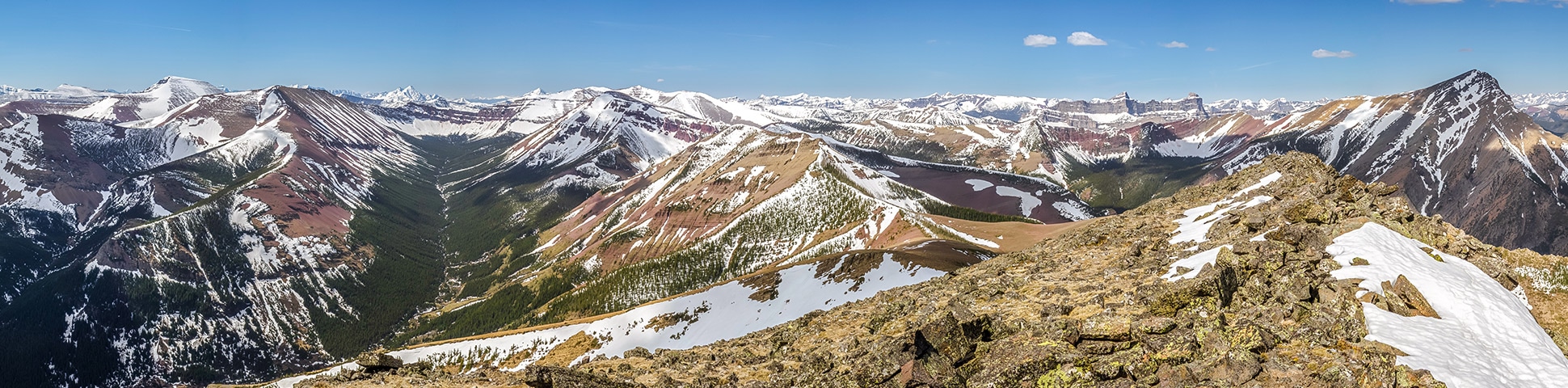
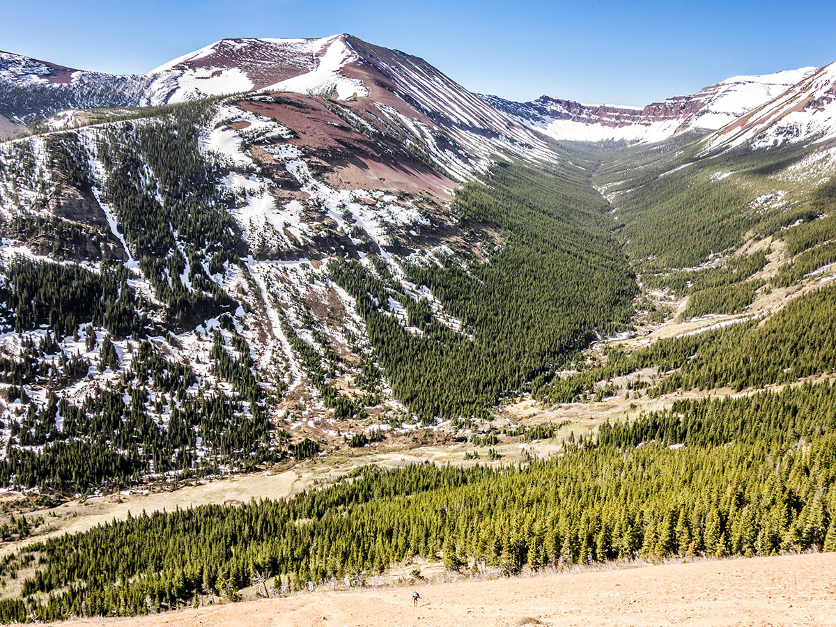
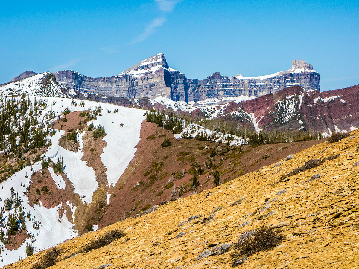
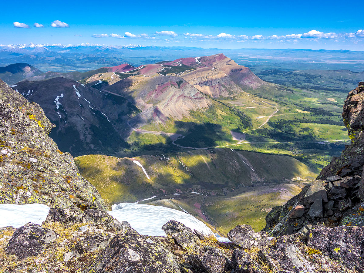
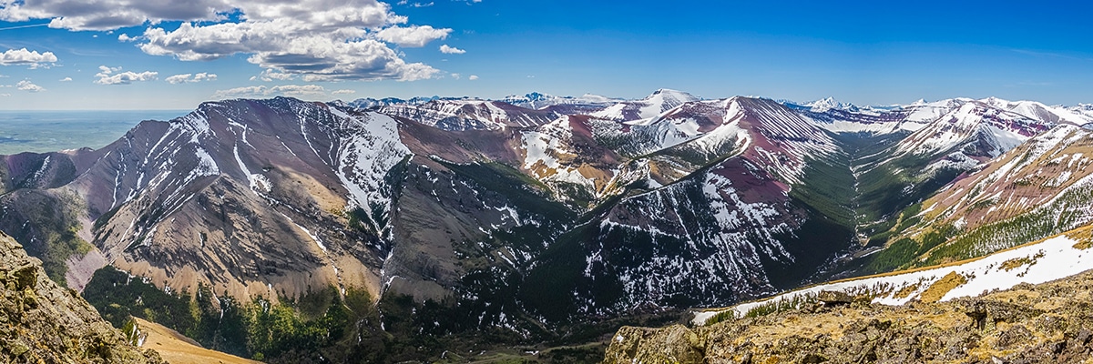
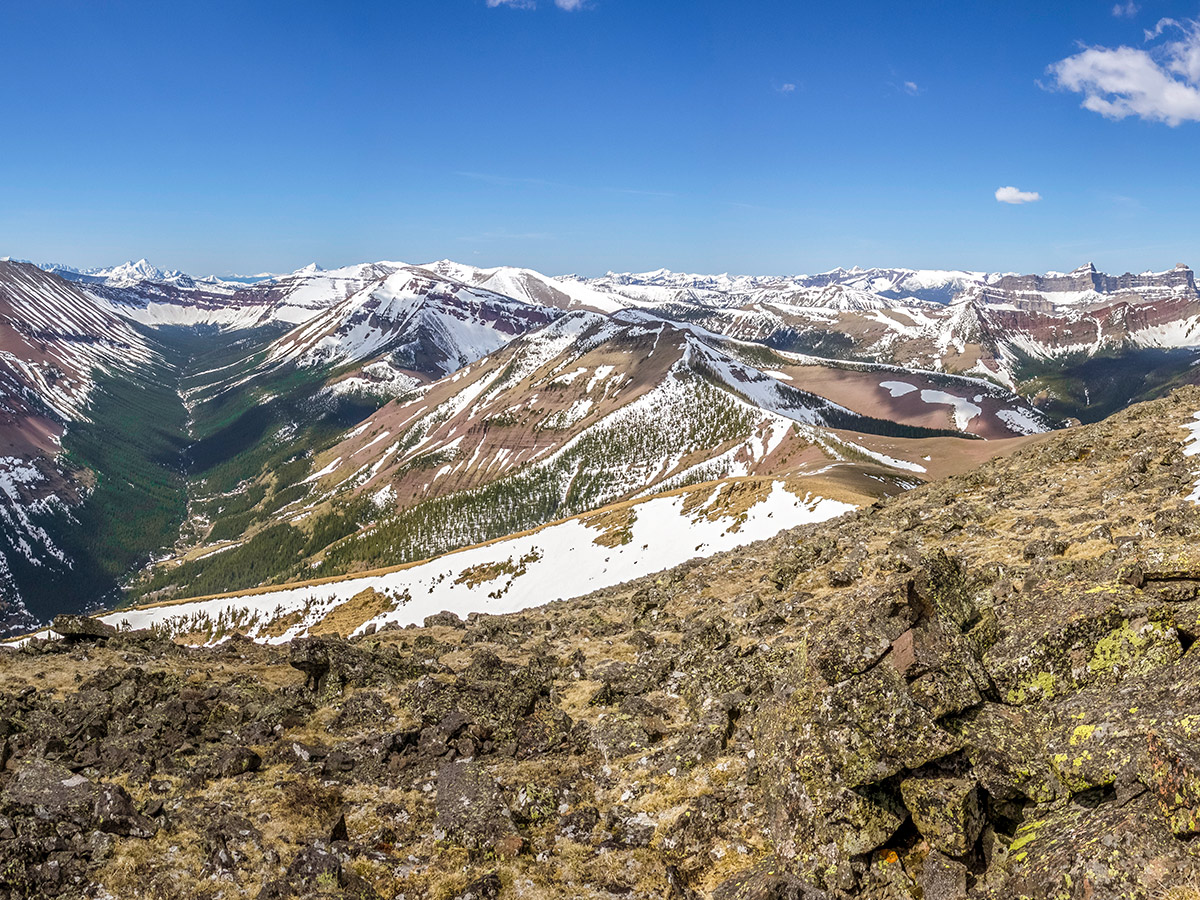
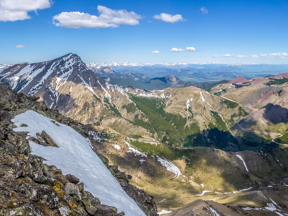
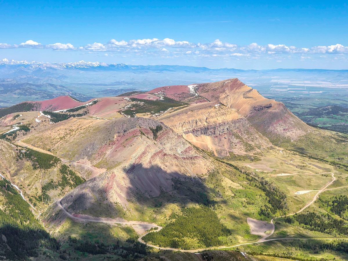
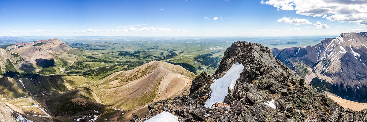
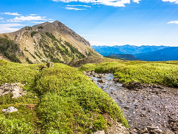
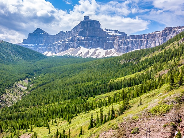
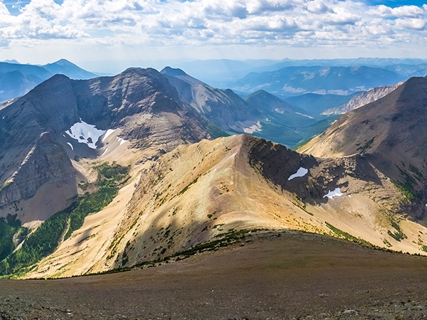
Pincher Ridge is located near the heart of Castle Wildland Provincial Park, a spectacular part of the Canadian Rockies. The scramble up Pincher Ridge provides a stunning aerial view of the surrounding ridges of red argillite, lush green valleys, and the intersection of the mountains with the prairies.
Getting there
From Pincher Creek head south on Highway 6 after about 12.4mi then a turn right onto Township Road 43A, signed for Shell Waterton Complex. Continue on Township Rd 43 and onto Range Rd 304. Go past the Shell Industrial Complex and go left when you reach a lake (Butcher Lake). Follow this for about 1.4mi until you reach a gate.

About
| When to do | June - September |
| Backcountry Campsites | None |
| Toilets | None |
| Pets allowed | Yes - On Leash |
| Scarmbling Rating | Grade 1 |
| Exposure | None |
| Family friendly | Yes |
| Route Signage | None |
| Crowd Levels | Low |
| Route Type | Out and back |
Pincher Ridge
Elevation Graph
Weather
Route Description for Pincher Ridge
Pincher Ridge is a long ridge running southwest to northeast in the newly created Castle Wildland Provincial Park. This route involves some bushwhacking to gain the ridge on an indistinct trail, so having a map and/or GPS unit with the map pre-loaded will definitely help.
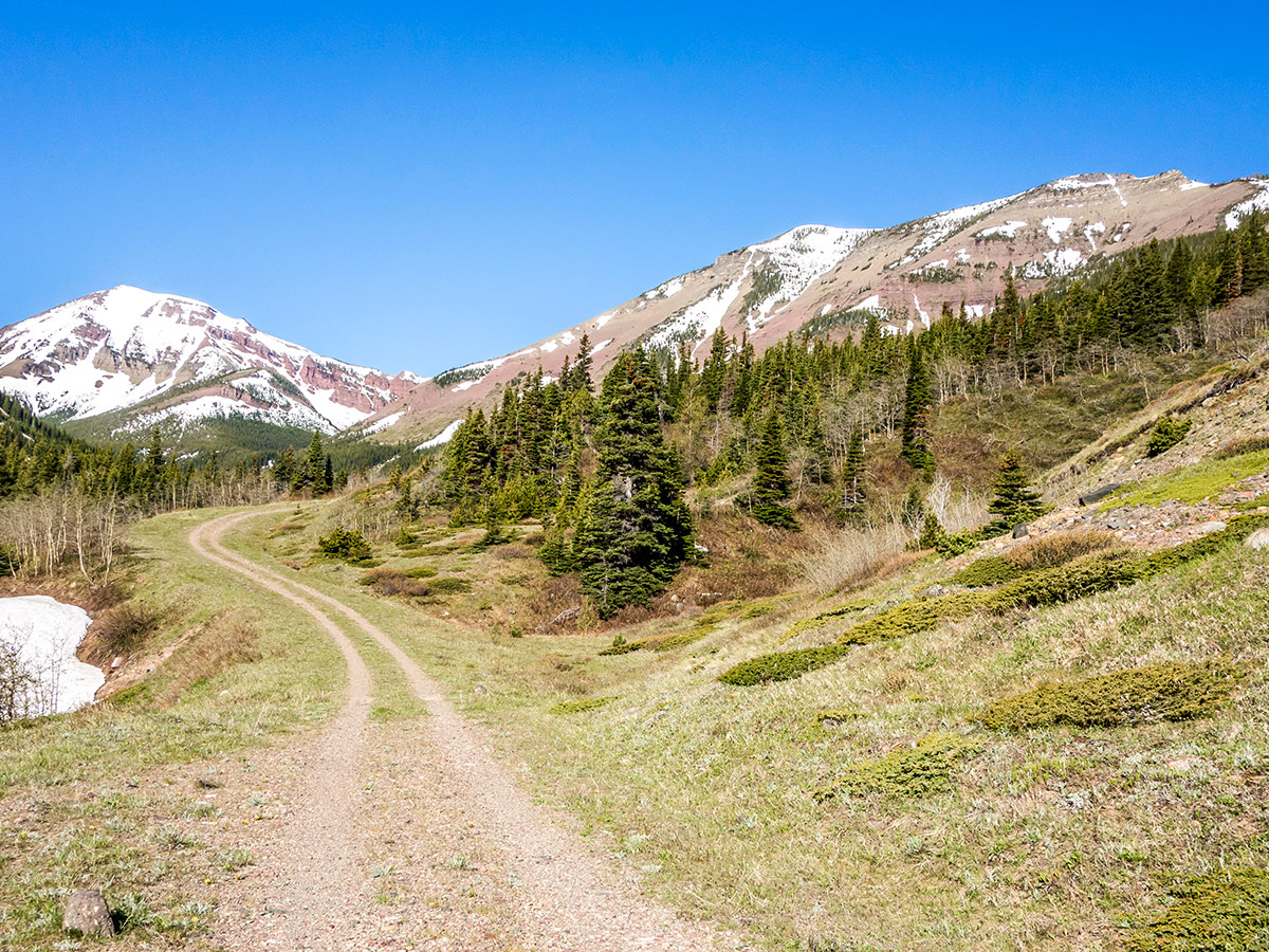
Begin this scramble by following the road for about 2.5mi. If you have a bike, then bring it and ride this boring 2.5mi stretch.
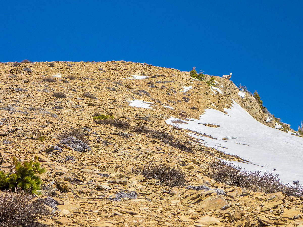
Keep your eyes open, as at a minor high point of the road, just before it ends, you will go right and begin the steep ascent of Pincher Ridge. The initial bushwhack looks quite ferocious, but it is not nearly as bad as it appears and is interspersed with man-made trails. A steep climb up a grassy and bushy slope follows, but serves as a good warm up for the upcoming scree slope.
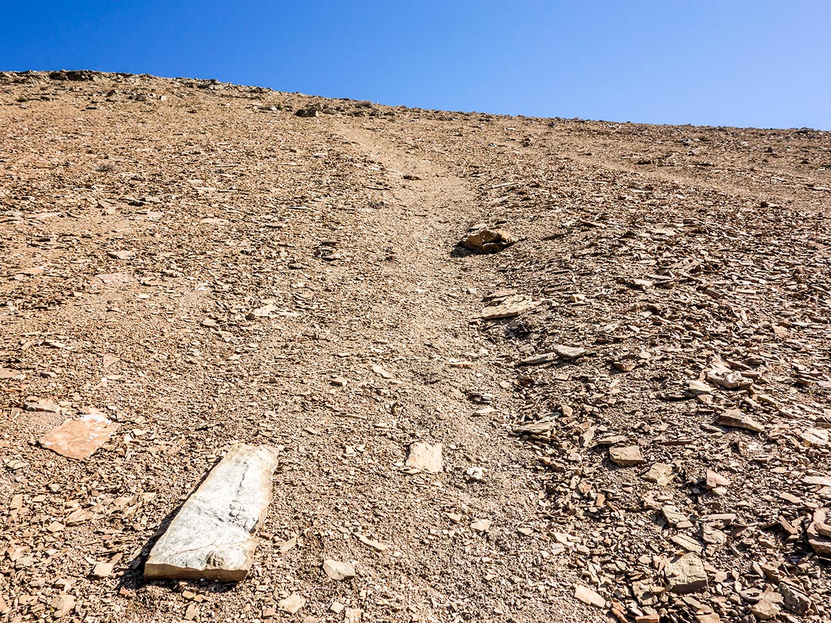
On the lower section of Pincher Ridge, there is a steep scree section. If you are not accustomed to scree, and even if you are, it can be quite arduous as every step forward tends to result in a little slide back.
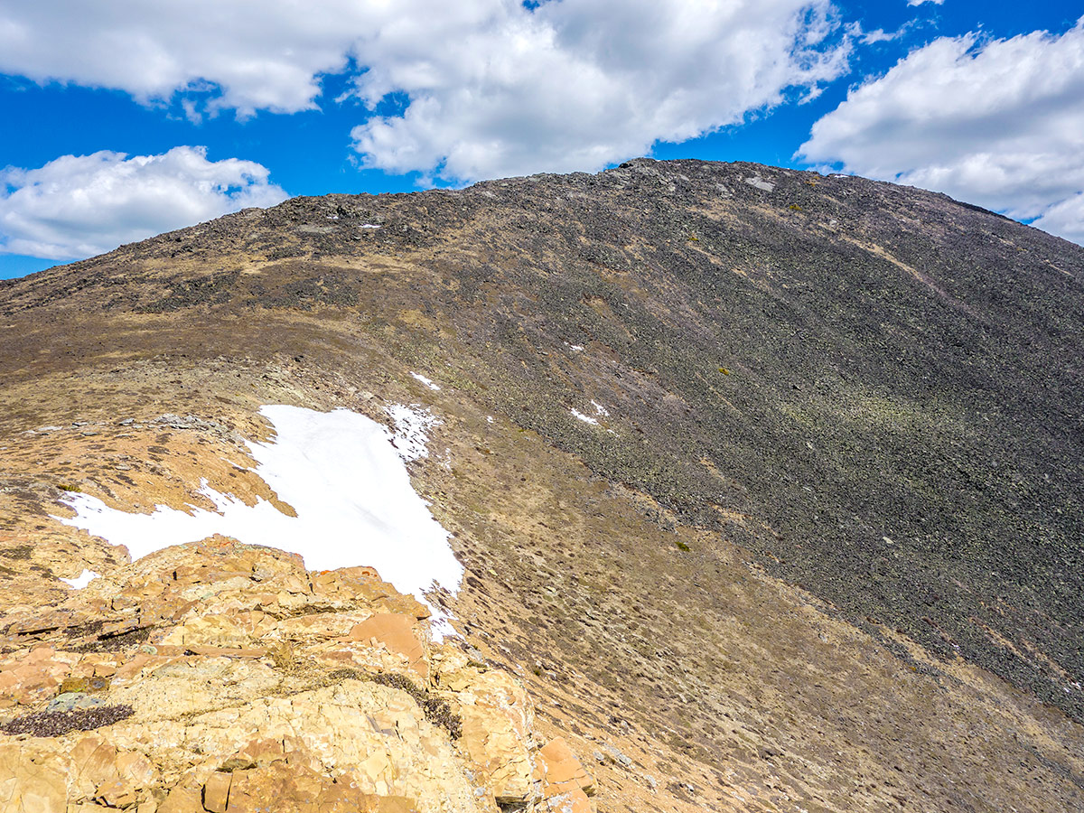
Things improve dramatically when you reach the crest of a minor rib to the east (climbers right). While we went up the scree, consider heading towards this rib earlier as you can possibly cut out some of the scree climb.
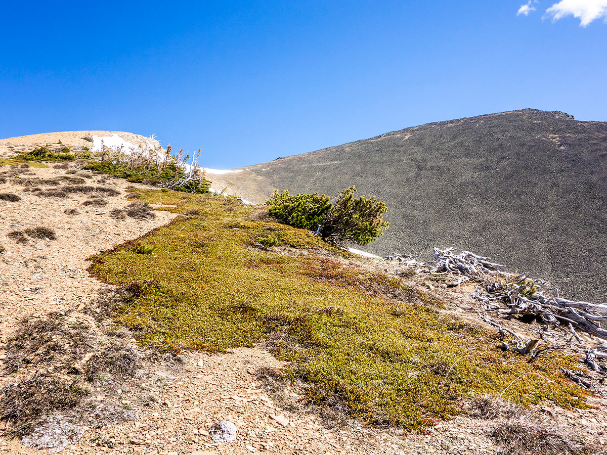
From the top of the minor rib turn east and head to the summit. From below it had looked like this would involve a short down climb, but in the end the drop is only an insignificant meter or two. Over this final traverse to the summit the scree is replaced by bits of grass and larger rubble, but the going remains very easy.
The views are spectacular from Pincher Ridge, and the red rock, spring greens, blue sky, and winter snow make the panorama incredibly beautiful. On a peculiar note, a few square meters of the summit are home to hundreds of swarming ladybugs at certain times of the year. It is a pretty fascinating site to behold.
After a long, relaxing summit stay, turn around retrace your steps back down the Pincher Ridge. The terrible scree faced on the way up is beautiful on the way down!
Insider Hints
This route involves bushwhacking. It’s best to have downloaded a map onto your phone for help making your way off-trail.
The Castle area is notoriously windy, so be prepared for increased winds once you’re in the alpine.

Similar Scrambles to the Pincher Ridge Scramble
Mount Coulthard
Located in Castle Wildland Provincial Park, the scramble up Mt Coulthard takes you through a spectacular and lush alpine basin,…
Mount Gladstone
A scramble up Mount Gladstone is a wonderful day out in the Castle! A nice trail alongside a lively creek,…
Mount Haig
Mount Haig is the highest peak in Castle Provincial Park, and you can’t go wrong scrambling to the top of…
Willow F. 4 years ago
The initial bushwhack looks quite ferocious, but it is not nearly as bad as it appears. It is interspersed with manmade trails. Be careful of some scree as it can be quite arduous as every step forward tends to result in a little slide back. Overall, the surrounding is just beautiful.
RobCruz 4 years ago
My daughter made sure she was able to take a snap of every magnificent view. I won't forget this hike.
Alex Lavinson 4 years ago
Stunning views around every corner. It was the best 7.30 hours rush I've done so far!
Matt Ducker 4 years ago
moderately easy scramble with incredible scenic views at the summit.
Harry S. 4 years ago
This hike provides a stunning aerial view of the surrounding ridges of red argillite. Breath taking view of the valleys, and the intersection of the mountains with the prairies. A moderate hike for experienced hikers
JMC 4 years ago
It has really great views from Pincher Ridge. The panorama view is fascinating.
Coll A. 5 years ago
There's a steep climb up a grassy and bushy slope that follows but serves as a good warm-up for the upcoming scree slope. Prepare your jackets for increased winds once you’re in the alpine. Definitely worth the hike.
Otis Webster 5 years ago
The mountain peaks were mesmerizing. They were bursting with wonderful beauty! What an awesome destination!
Clark Hermano 5 years ago
Amazing! Love the myriad of scenery. The lush green valleys, unique mountains, and prairies.
MountainPhoenix 5 years ago
The Pincher ridge scramble was really good. Moderate, but worth every aching muscle