Mount Coulthard Scramble
View Photos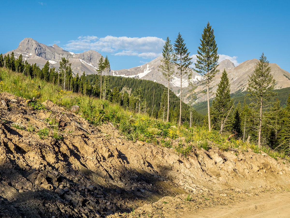
Mount Coulthard Scramble
Difficulty Rating:
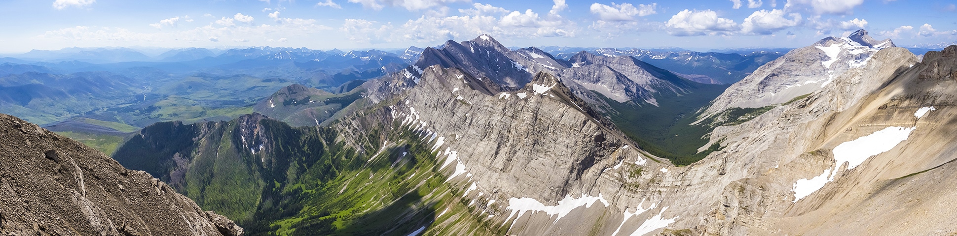
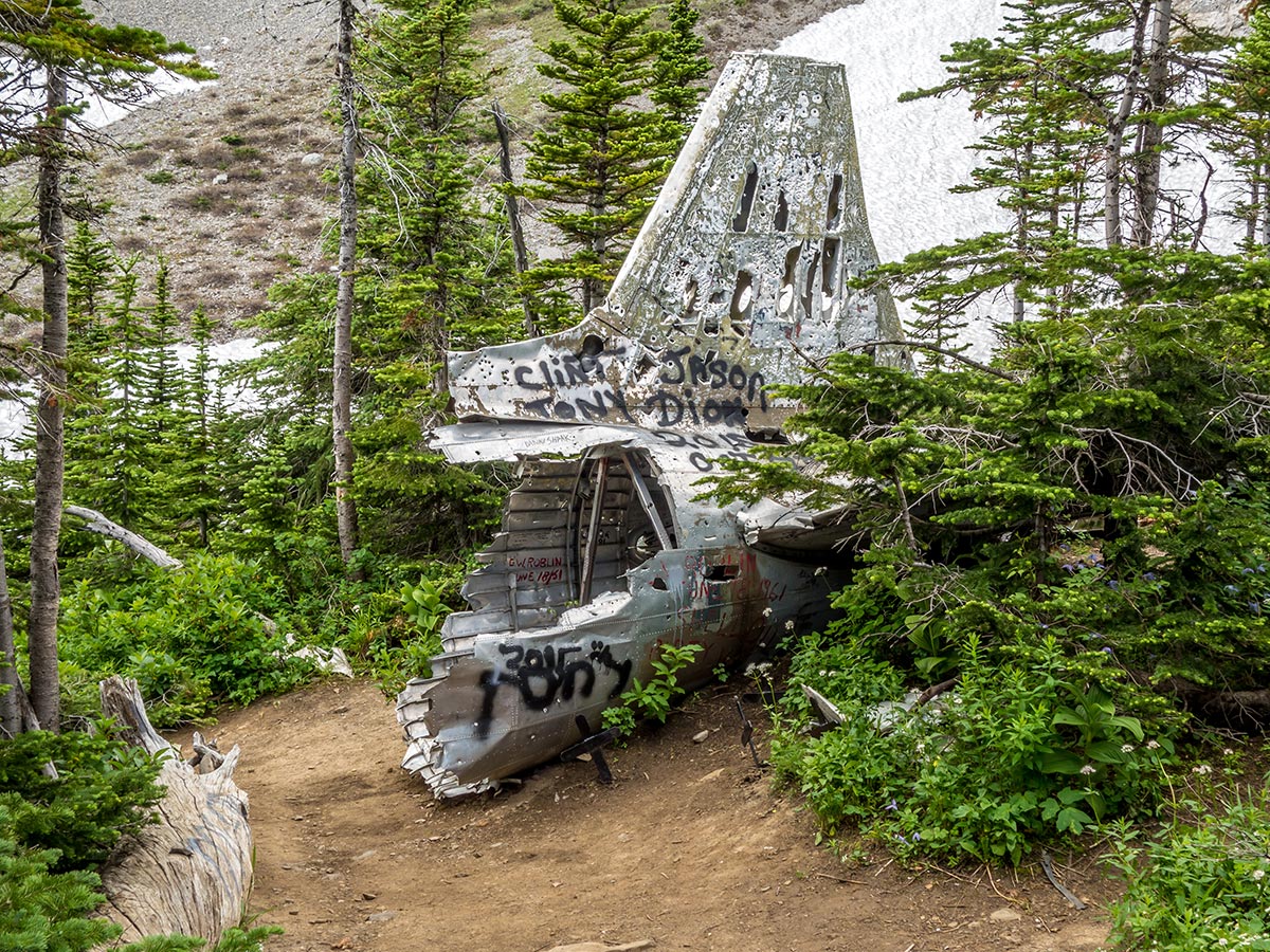
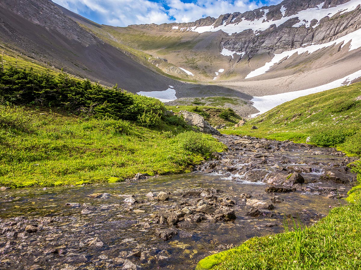
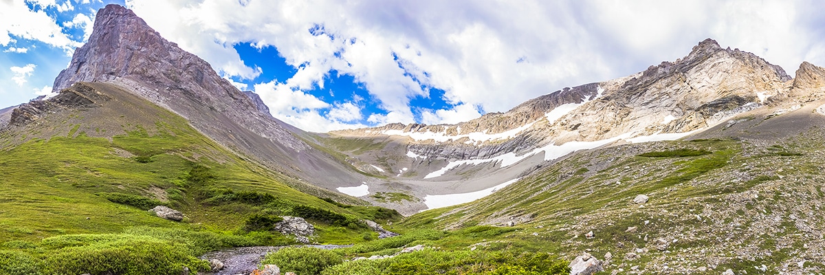
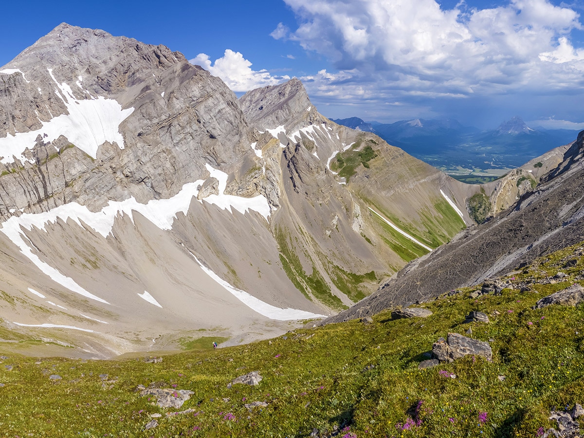
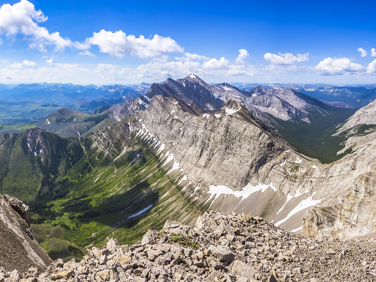
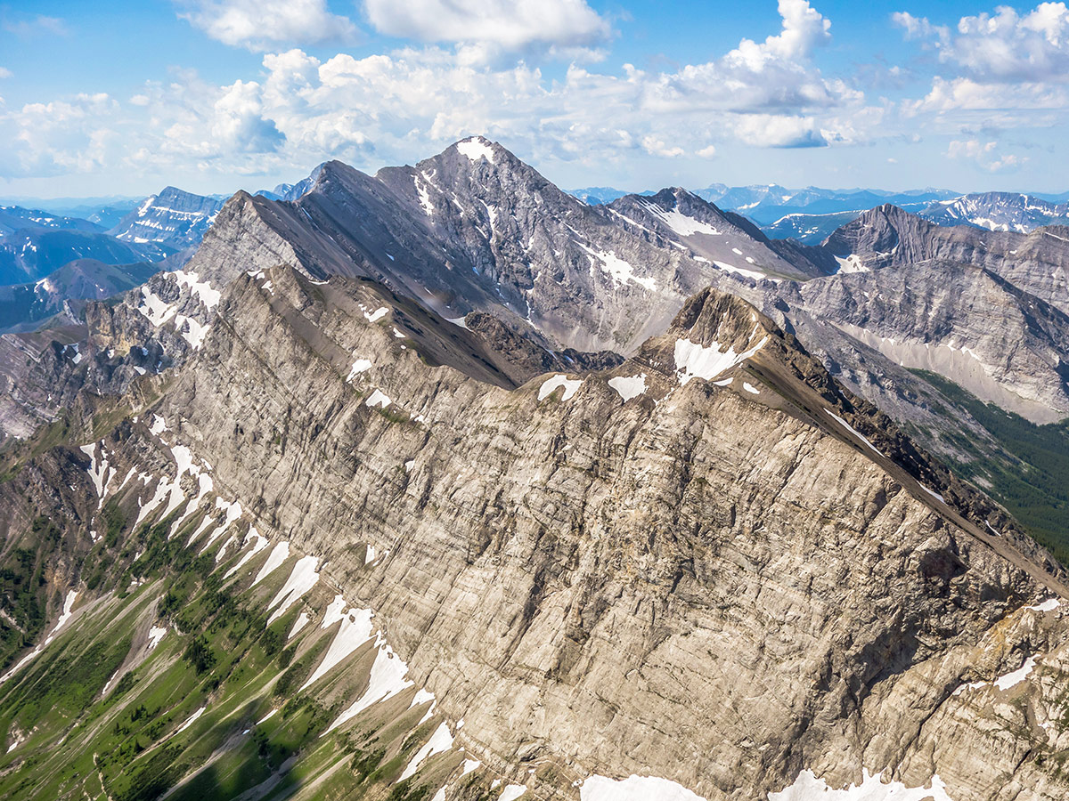
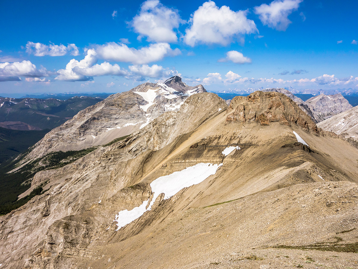
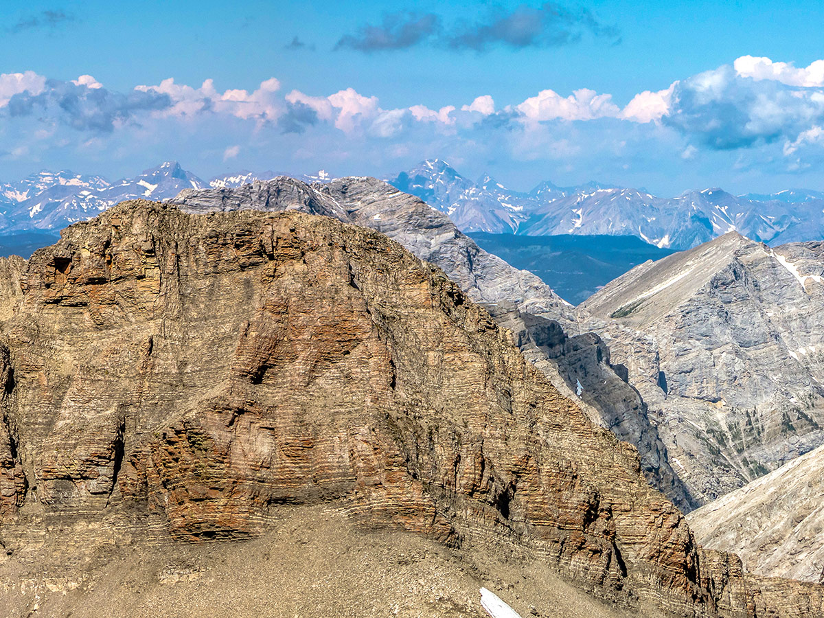
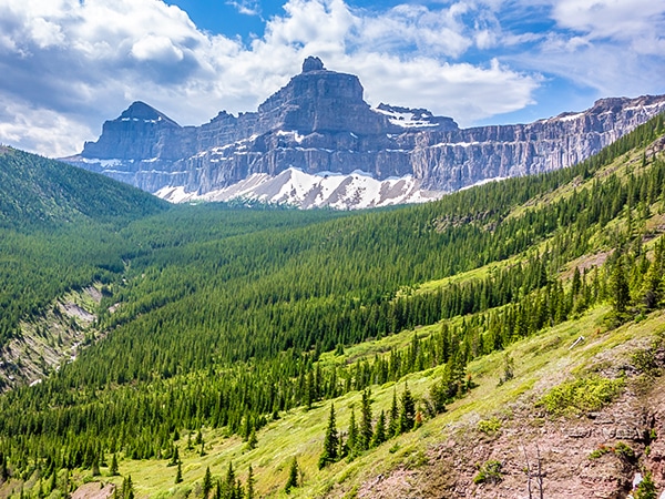
Located in Castle Wildland Provincial Park, the scramble up Mt Coulthard takes you through a spectacular and lush alpine basin, an historical plane crash site, and provides wonderful up-close views of the spectacular peaks of the Flathead Range.
Getting there
From Coleman, head south on 86th Street, which merges into 16th Ave. Go left on 81st Street and then again on 15th Ave. Turn right onto 83rd Street and then right again on the second cross street (13th Ave). Continue straight on this dirt road, and the trailhead will be on the left after about 3.5mi.

About
| When to do | June - September |
| Backcountry Campsites | None |
| Toilets | None |
| Pets allowed | Yes - On Leash |
| Scarmbling Rating | Grade 1 |
| Exposure | Mild |
| Family friendly | Older Children only |
| Route Signage | None |
| Crowd Levels | Low |
| Route Type | Out and back |
Mount Coulthard
Elevation Graph
Weather
Route Description for Mount Coulthard
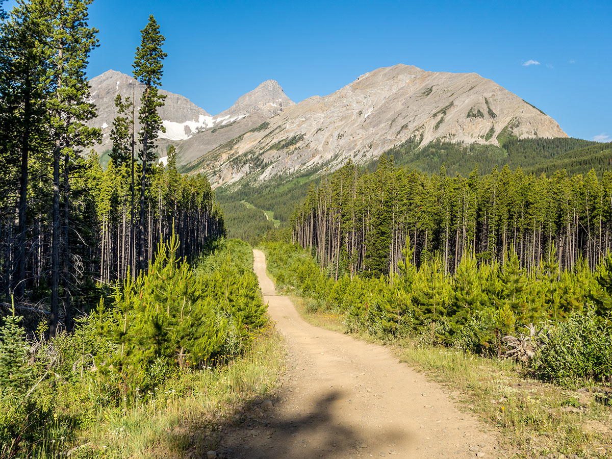
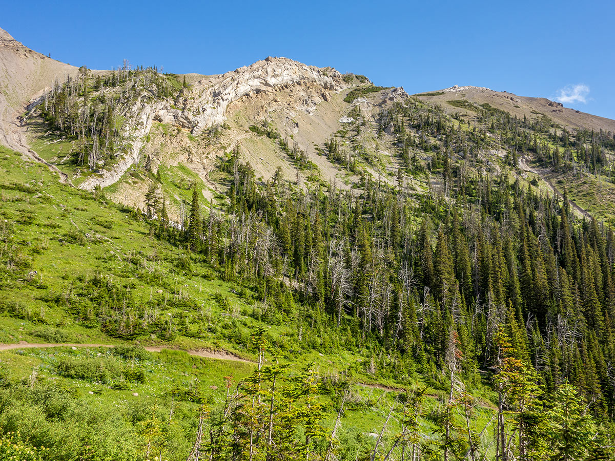
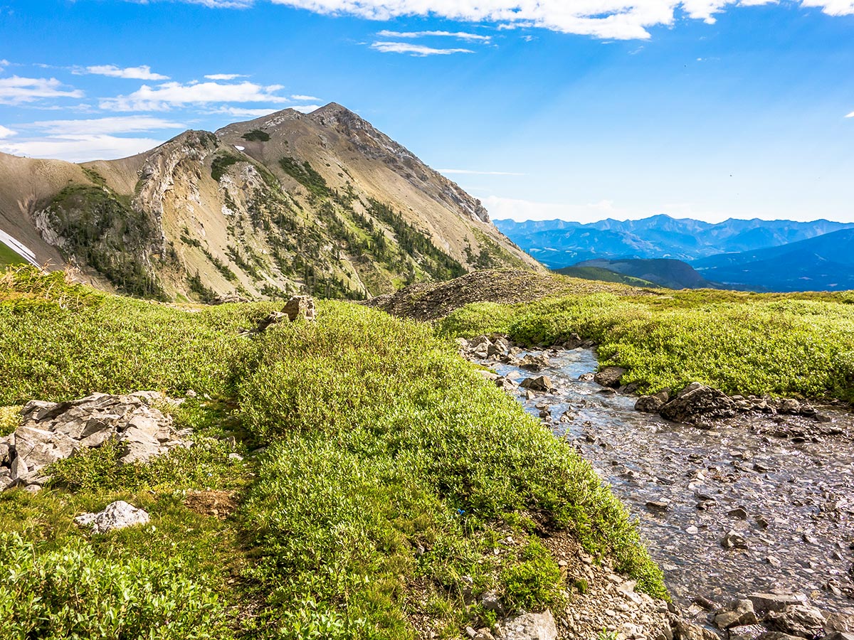
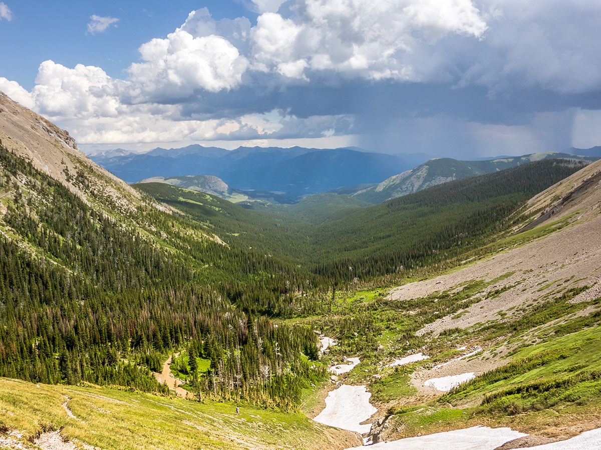
From the trailhead, the initial part of the route is along an old ATV road. Unfortunately, logging in the area has made biking this section unrealistic. The route along this ATV Track is long, going SW to start and then curving around, with Mt McLaren on your left. You can see Mt Parrish and Andy Good Peak ahead of you as you continue on this clear path.
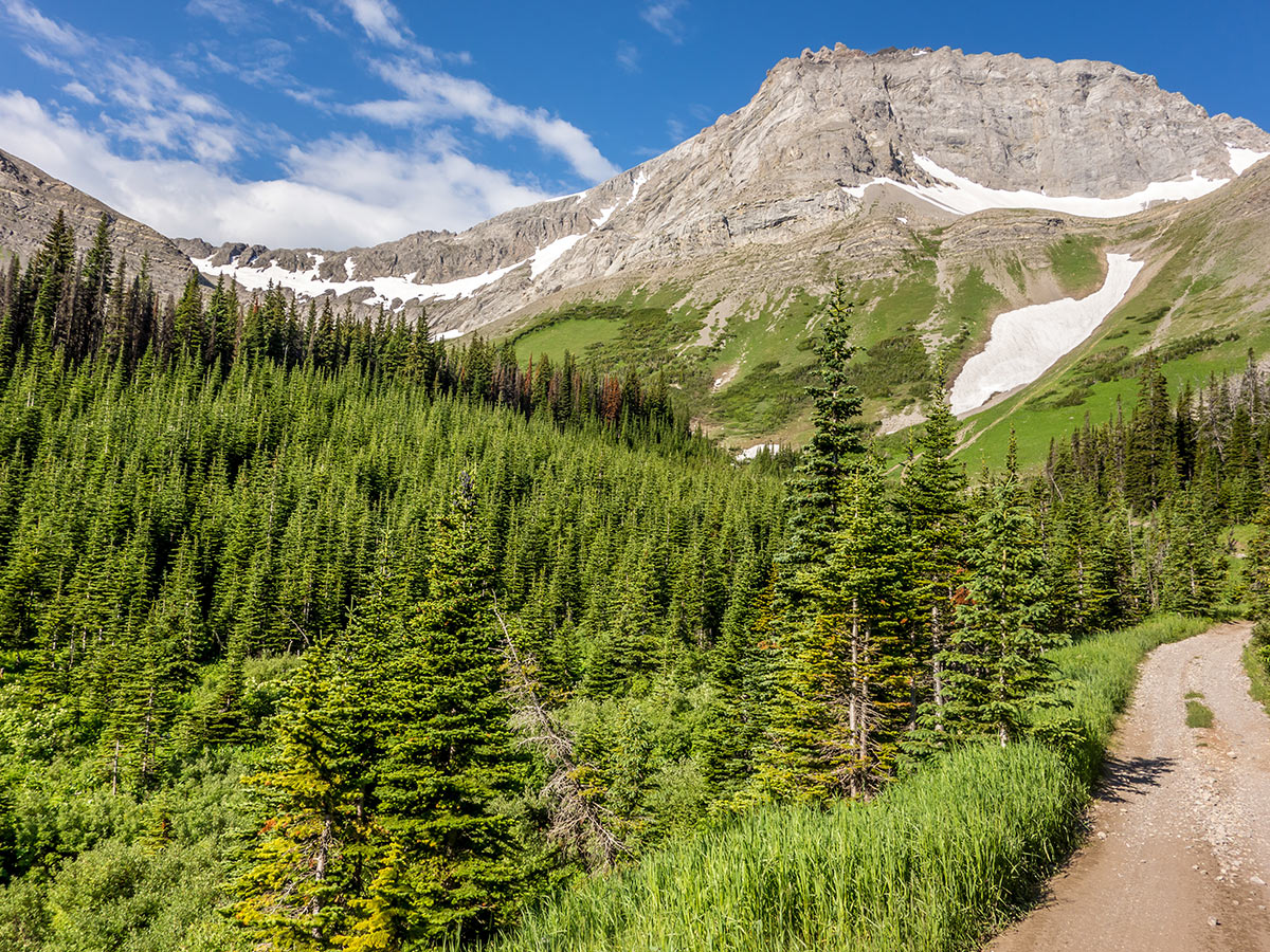
Near the end of the valley, go to your left and follow the path through the trees before coming out almost directly north of Mt Coulthard.
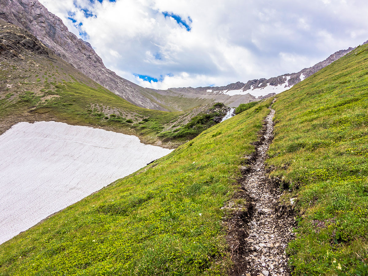
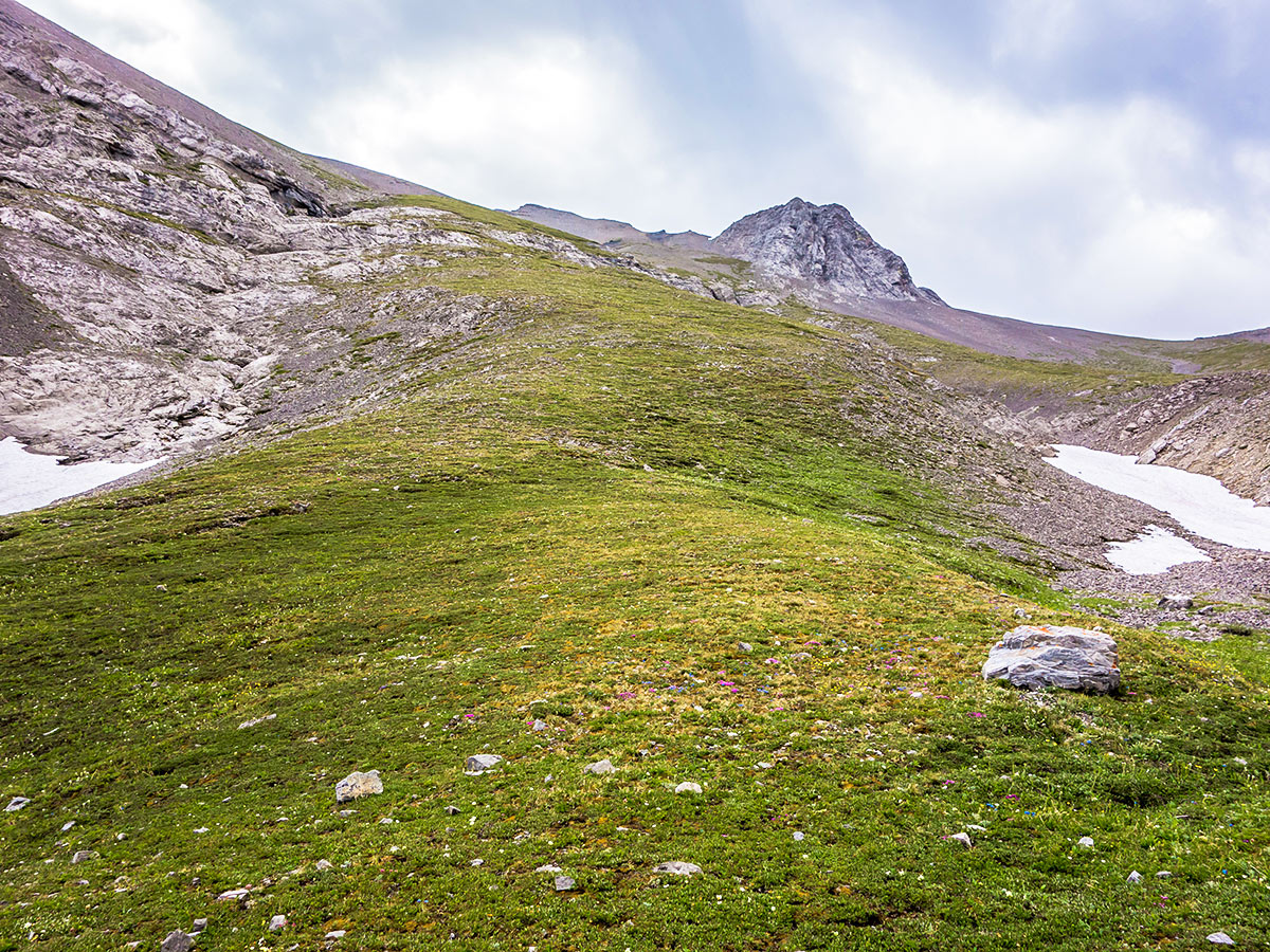
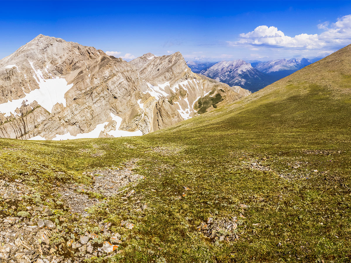
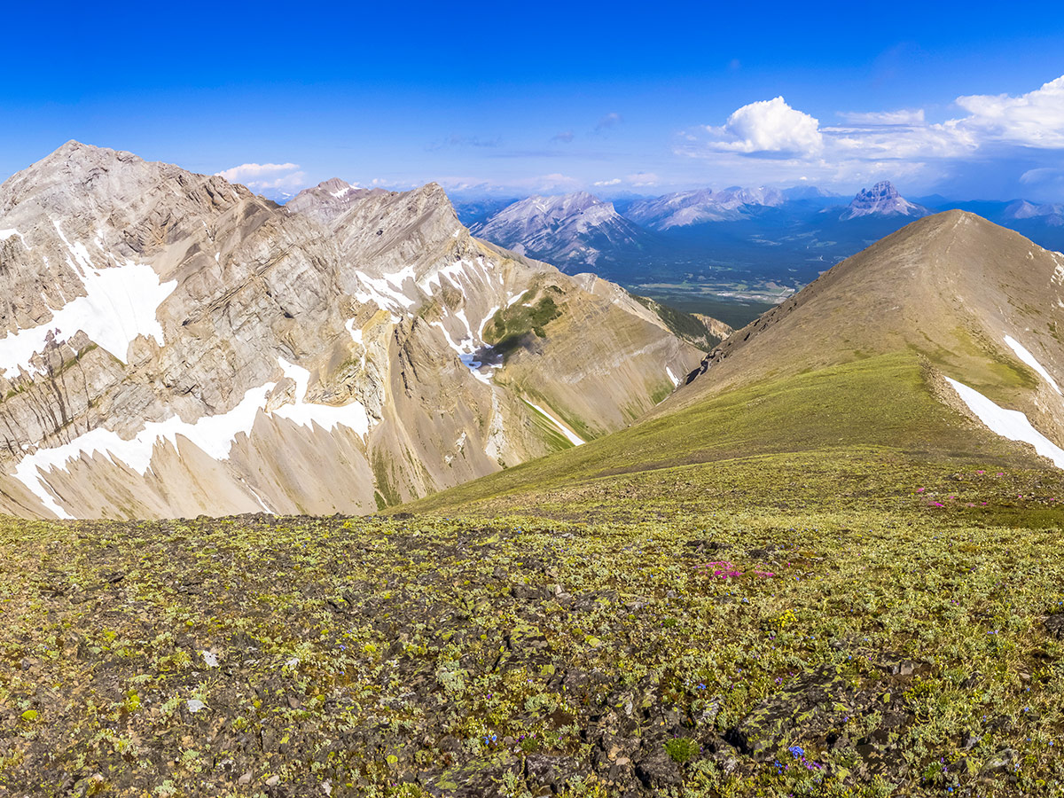
From here the entire ascent of Mount Coulthard is nothing more than a steep slog, and most of it is on pleasant green moss. The upper mountain is scree, but by choosing a path carefully and following sheep trails whenever possible it is not too difficult.
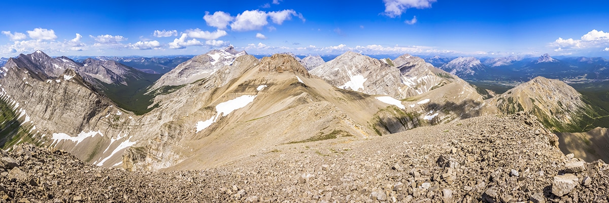
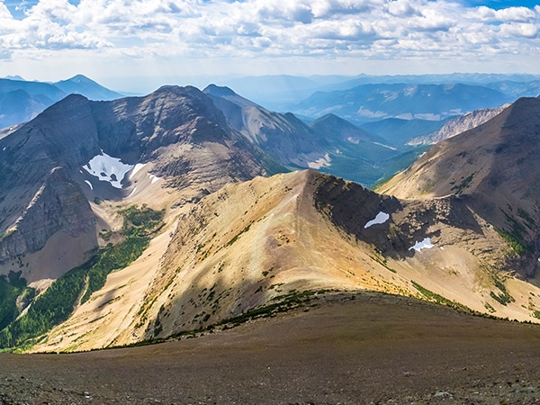
Mount Coulthard actually has three summits, but this route only ascends the eastern one; it’s the highest and official one, the northern one is much lower and the western summit a bit more technical. While the traverse to the eastern summit appears to be a bit tedious and potentially exposed from a distance, a sheep trail traverses most of its length. We found only one short section mildly unnerving. Outside of this, the route is really nothing more than a hike.
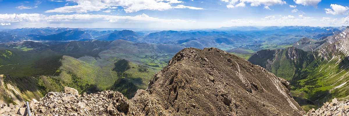
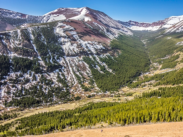
Enjoy your time at the summit (weather permitting of course!) then start back down, utilizing good and loose scree for a few hundred meters before moving back to the green moss. From the base of the mountain, a 4.7mi long, hot trudge then brings you back to the start.
Insider Hints
Stop by for some ice cream at The Old Dairy Ice Cream Shoppe in Bellevue, it’s a great option after a wonderful scramble.

Similar Scrambles to the Mount Coulthard Scramble
Mount Haig
Mount Haig is the highest peak in Castle Provincial Park, and you can’t go wrong scrambling to the top of…
Pincher Ridge
Pincher Ridge is located near the heart of Castle Wildland Provincial Park, a spectacular part of the Canadian Rockies. The…
Mount Gladstone
A scramble up Mount Gladstone is a wonderful day out in the Castle! A nice trail alongside a lively creek,…
RobCruz 4 years ago
Good thing we brought extra water and snacks for this hike. A stunning scenery with your love ones? nothing compares!
Harry S. 4 years ago
The hike provides wonderful up-close views of the spectacular peaks of the Flathead Range. Some paths are a bit tedious and potentially exposed from a distance. The trail is really nothing more than a hike.
Perry K. 4 years ago
Mount Coulthard is nothing more than a steep slog, and most of it is on pleasant green moss. There's also a historical plane crash site. Overall, the hike was something out of ordinary.
JMC 4 years ago
Moderate hike. Mount Coulthard will provide you one of a kind views at the top.
Fredie L. 5 years ago
This hike takes you through a spectacular and lush alpine basin. Stop by for some ice cream at The Old Dairy Ice Cream Shoppe in Bellevue. A memorable hike.
Michael M. 5 years ago
The core of this hike is very unique. The terrain was breathtaking and one of a kind.
Matt Ducker 5 years ago
The hike was great! It was a long hike and a memorable experience. We had so much fun!
Rocco Ellysia 5 years ago
Stunning hike! Enjoyed the panoramic views at the top. One of the best hikes in the park.