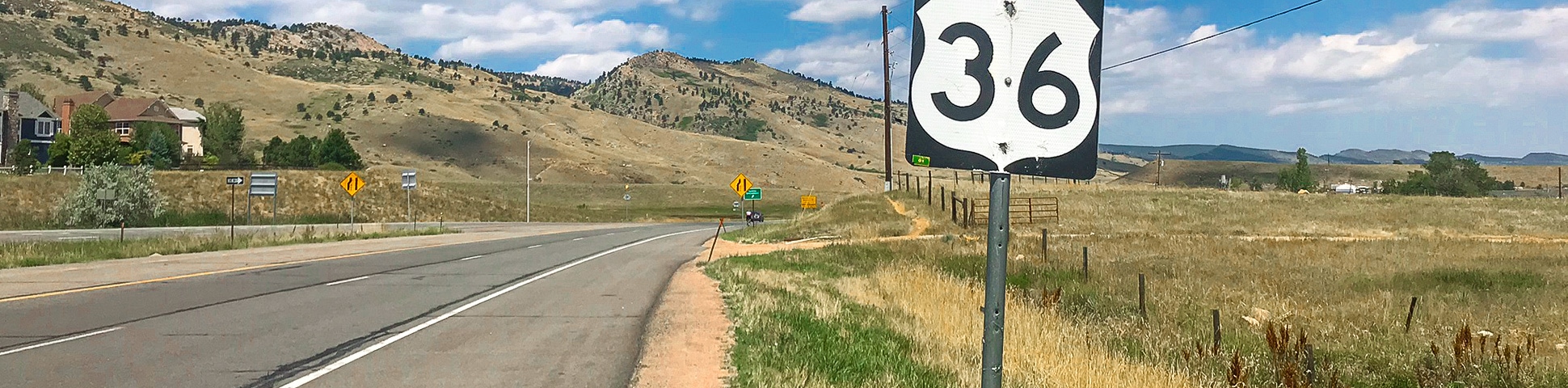
US 36 to Lyons Road Biking Route
View Photos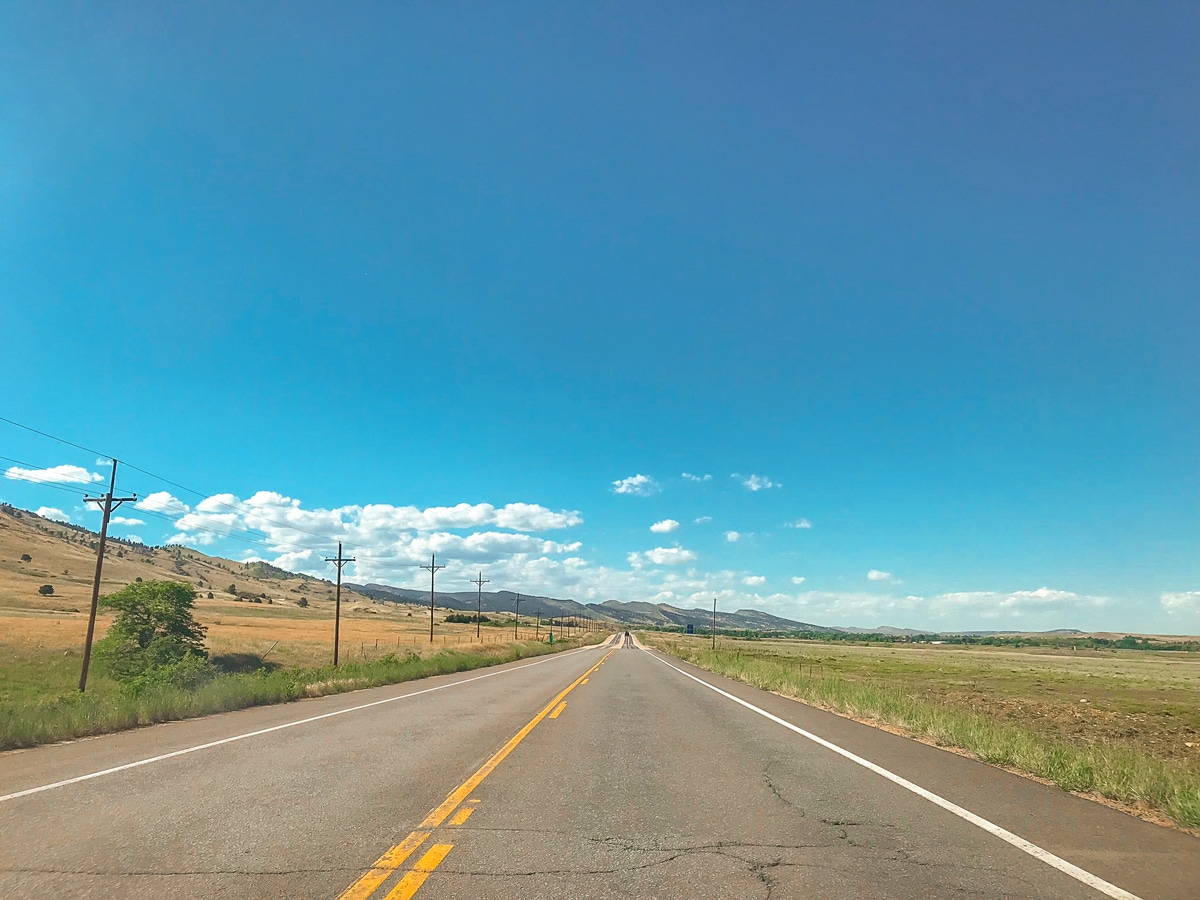
US 36 to Lyons Road Biking Route
Difficulty Rating:
US 36 to Lyons is a popular bike ride that serves as a training ground for many professional athletes; sections of this bike ride are a part of the official Iron Man Boulder bike course! It is for that reason, we included this ride on the Top 10 Boulder rides.
Getting there
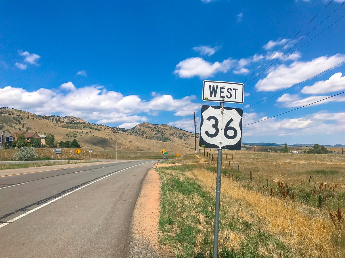
From Boulder, head north on 28th St. until it turns into US 36. Parking is available at a dirt pullout off of 26th St. on the north side of US 36.

About
| Type of Ride | Single-day |
| Re-supply points | None |
| When to do | Year round |
| Toilets | None |
| Level of Car Traffic | High |
| Road Type | Shared roads with cars |
| Family friendly | No |
| Route Signage | Average |
| Crowd Levels | Moderate |
| Route Type | Out and back |
US 36 to Lyons
Elevation Graph
Weather
Route Description for US 36 to Lyons
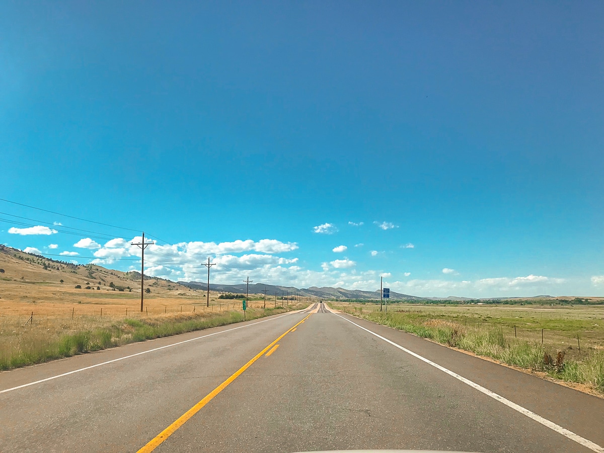
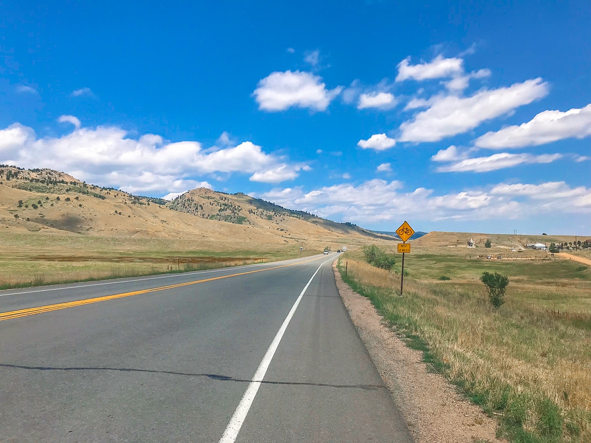
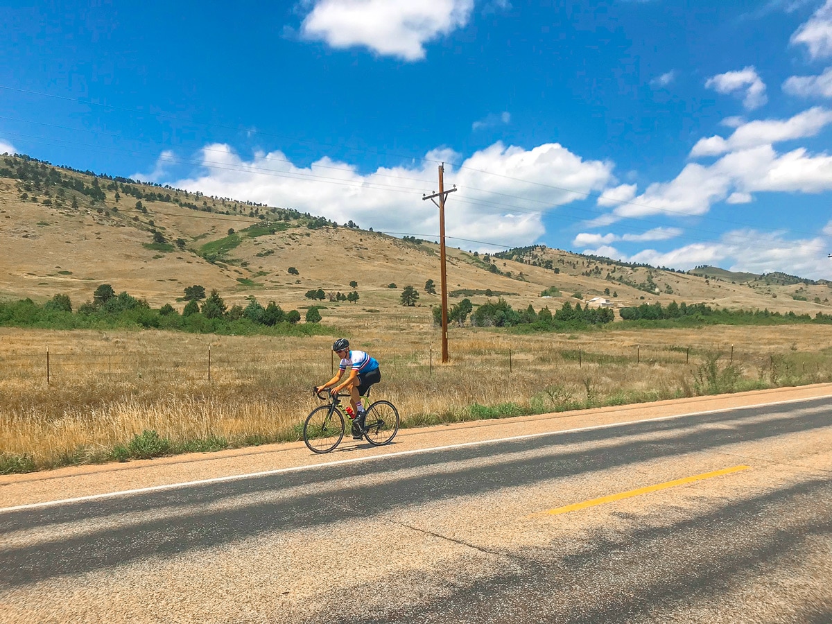
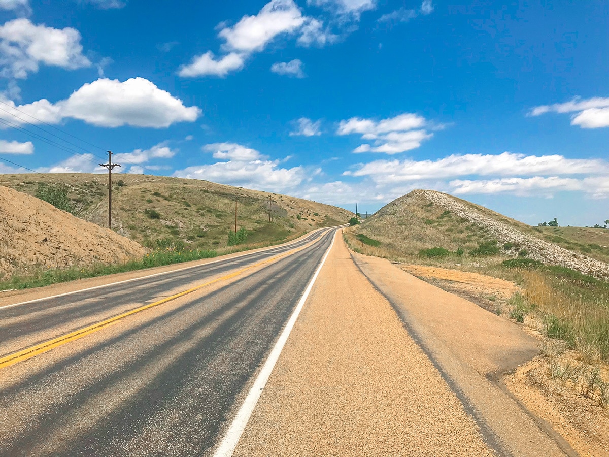
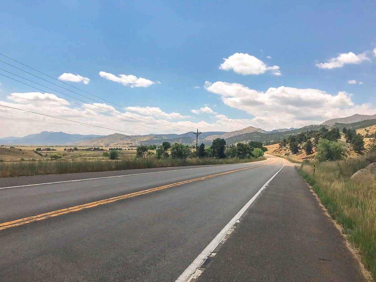
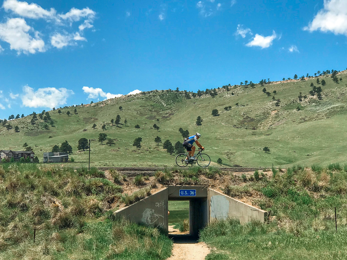
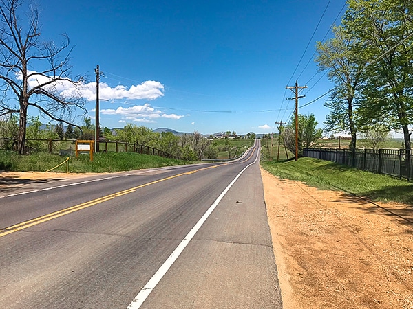
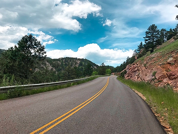
Local Boulder cyclists like to get out on US 36 for a day training. Here we share a shortened route for recreational cyclists. US 36 is a busy road with a wide shoulder, providing some space and comfort from the large amount of traffic that is present on this road throughout all times of the day. The road parallels the Colorado Front Range along gently rolling hills, making for a beautiful scenic bike ride with minimal effort.
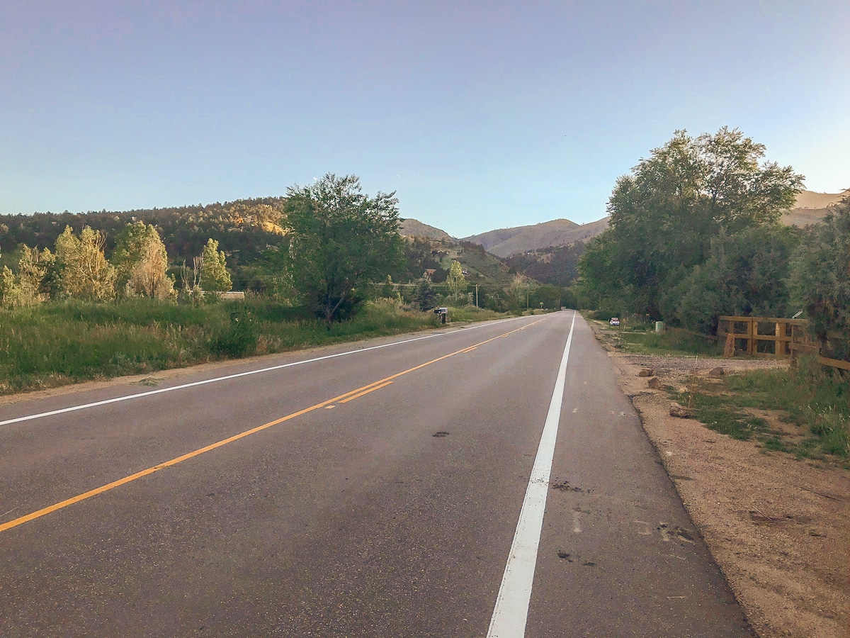
As you cycle out of Boulder , the views open up as you pass by Hogback Ridge, North Boulder Valley, and the entrance to Left Hand Canyon. The gently rolling hills slowly gain elevation until around 8 miles into the ride, where you will enjoy a long downhill section all the way to Lyons. At a junction in the road and a stop light, turnaround and ride back the way you came.
Insider Hints
Crosswinds can be an issue on this bike ride, if it is windy, be careful.
Try riding early in the morning on the weekends to avoid heavy traffic.
Similar Road Biking Routes to the US 36 to Lyons Road Biking Route
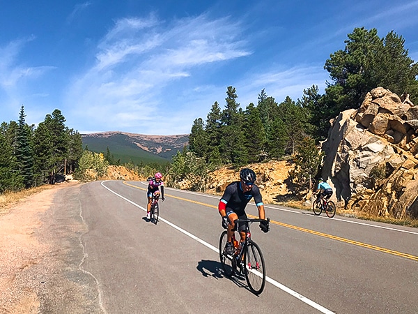
Peak to Peak Highway
The Peak to Peak Highway bike ride is a high elevation, scenic ride that parallels the Continental Divide. There are…
N 63rd St
N 63rd St is the classic Boulder loop with gently rolling hills and mountain views! The nicely paved road with…
Lee Hill
Lee Hill is the big brother bike ride to Olde Stage Rd., meaning this route climbs a bit higher and…
Comments