Peak to Peak Highway Road Biking Route
View Photos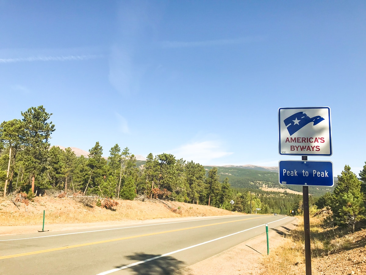
Peak to Peak Highway Road Biking Route
Difficulty Rating:
The Peak to Peak Highway bike ride is a high elevation, scenic ride that parallels the Continental Divide. There are multiple variations for cycling the whole thing or sections of this long road; we’ve described the variation most popular with Boulder locals.
Getting there
From Boulder, take Boulder Canyon to the town of Nederland. Park at the Ned Park -n- Ride.

About
| Type of Ride | Single-day |
| Re-supply points | The Old Gallery Allenspark, CO |
| When to do | April - November |
| Toilets | The Old Gallery Allenspark, CO |
| Level of Car Traffic | Moderate |
| Road Type | Shared roads with cars |
| Family friendly | No |
| Route Signage | Average |
| Crowd Levels | Moderate |
| Route Type | Out and back |
Peak to Peak Highway
Elevation Graph
Weather
Route Description for Peak to Peak Highway
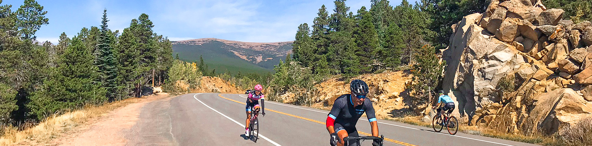
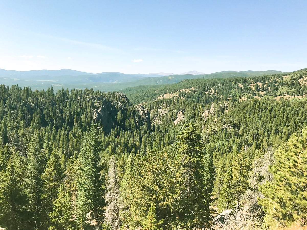
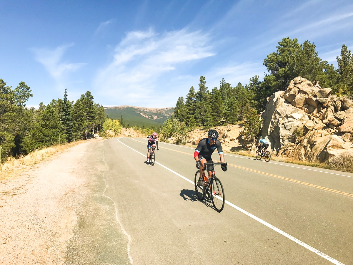
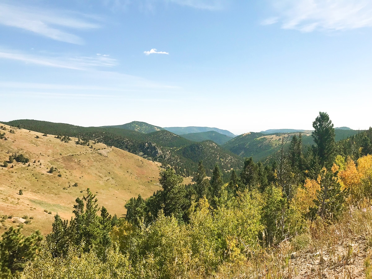
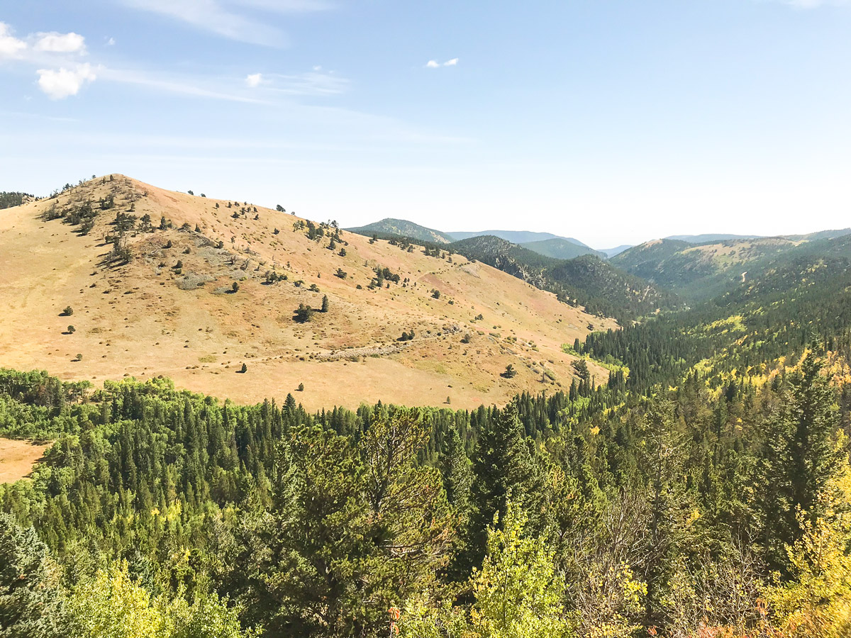
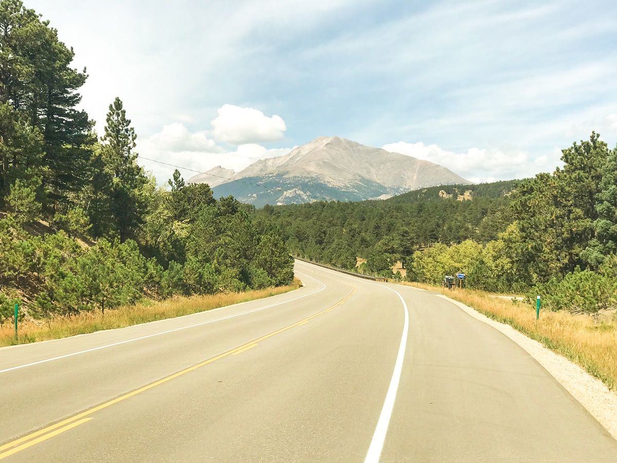
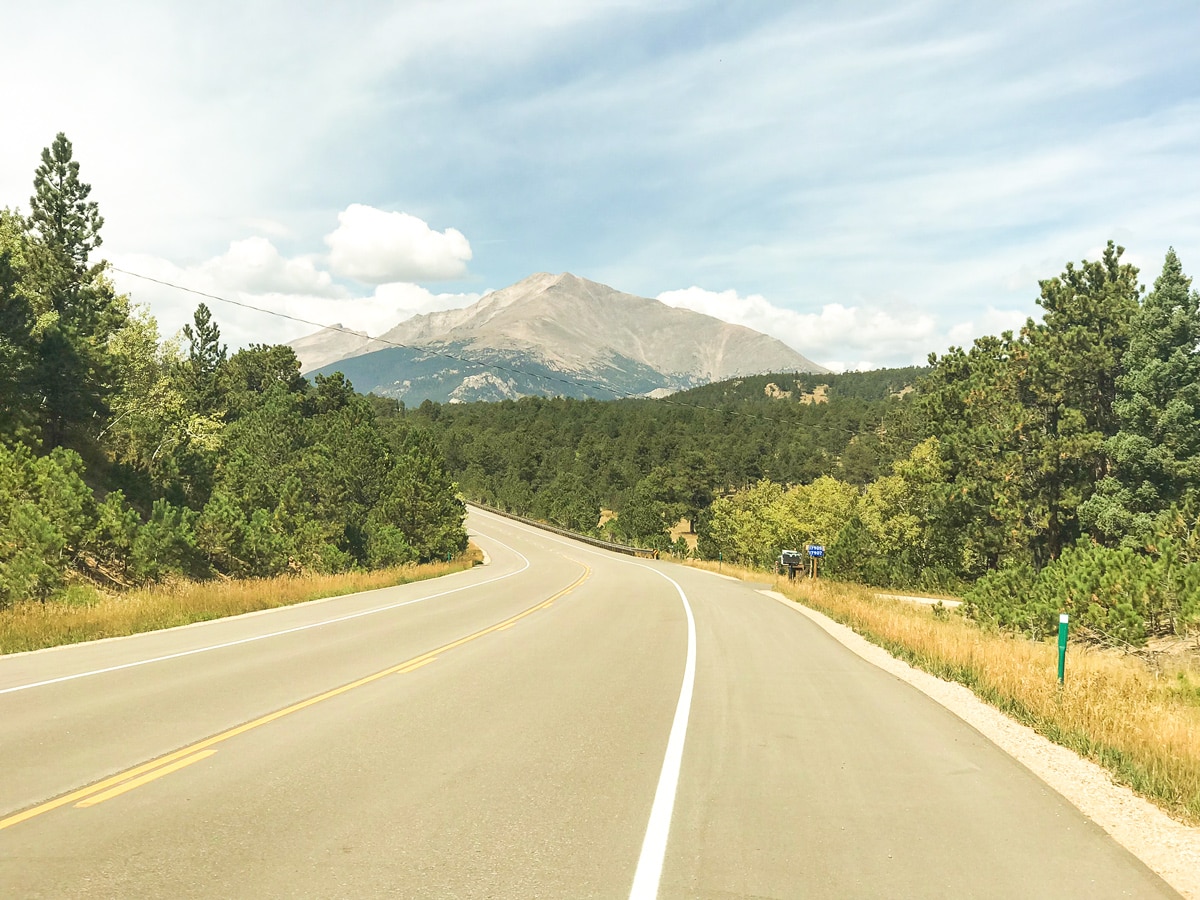
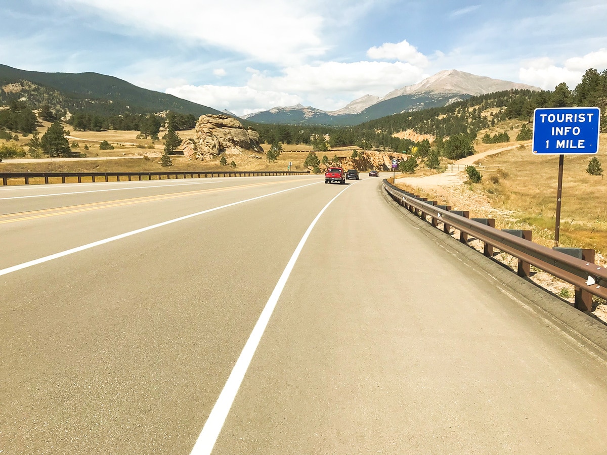
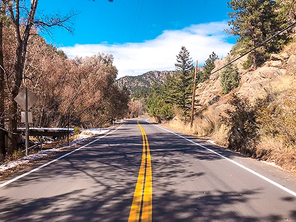
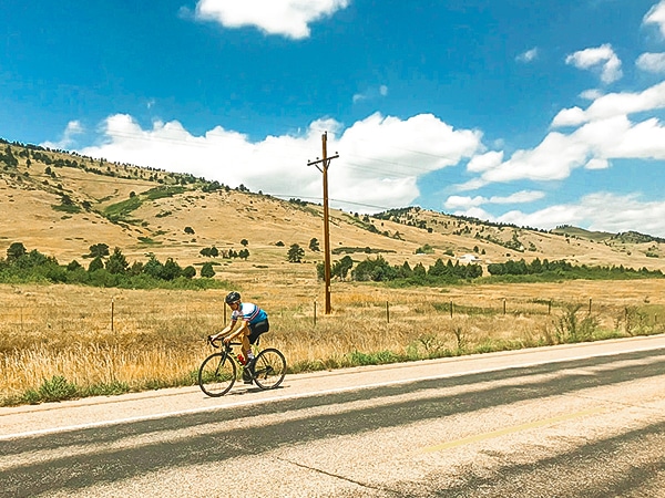
The Peak to Peak Highway is a classic Boulder road bike ride. The Peak to Peak Hwy is a 60.0mi strip of road that connects Blackhawk, CO, and the I-70 corridor to Estes Park and Rocky Mountain National Park. The full ride is a 60.0mi one-way trip that is listed as one of Colorado’s most epic bike rides, with a total elevation gain of 5075ft! This slightly shorter out & back version is a ride that can be done solo in a day without the need for a support vehicle.
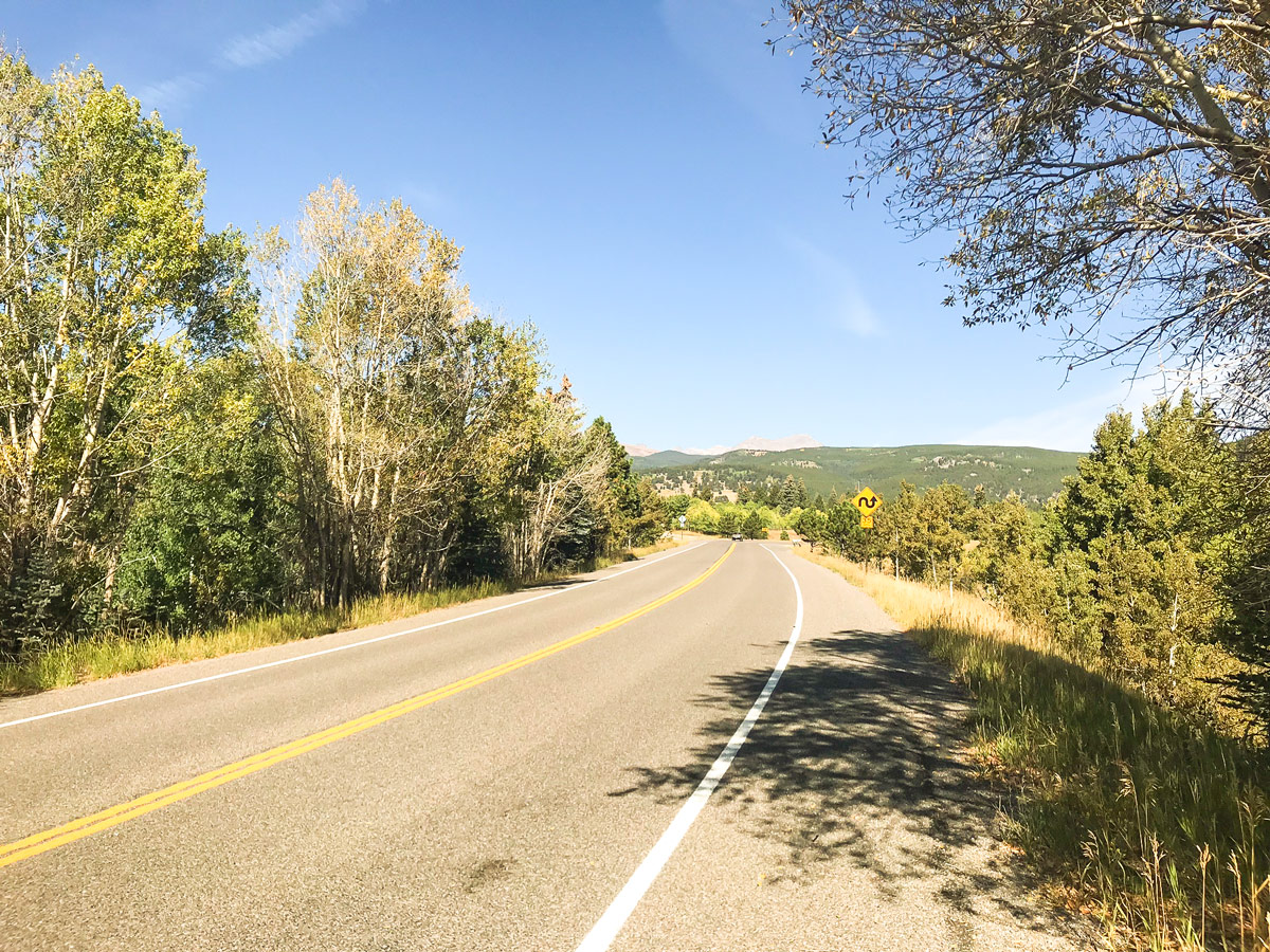
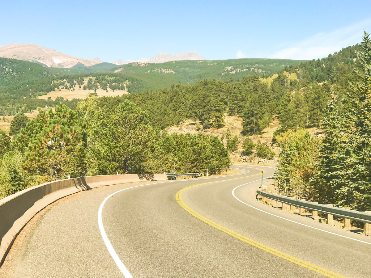
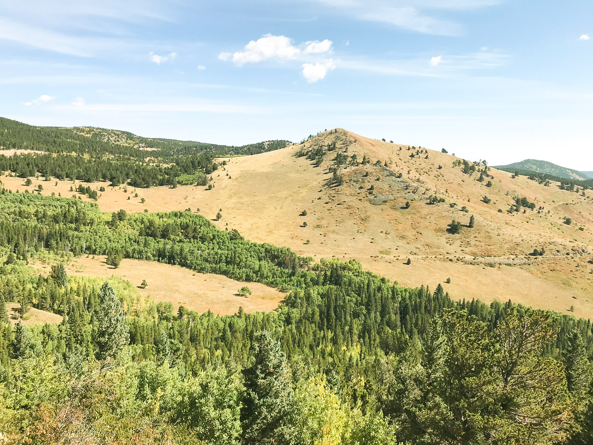
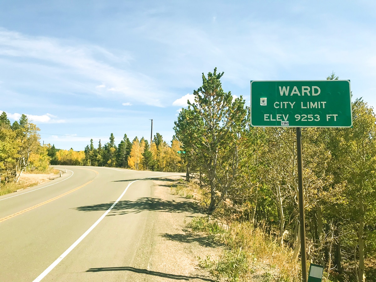
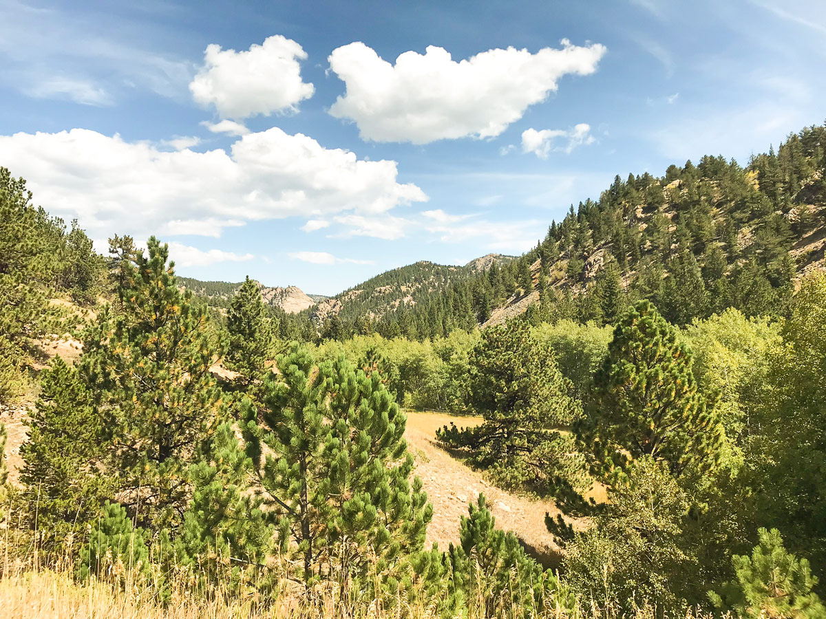
Begin the ride in the town Nederland, CO, and cycle north out of town via the Peak to Peak Highway. After a mile of steady climbing at 8% grade, the road will drop down into a valley around Caribou Ranch. The second and longer climb with a sustained grade of 8% will follow the brief downhill. Climb all the way to the small mountain town of Ward (elevation 9253ft).
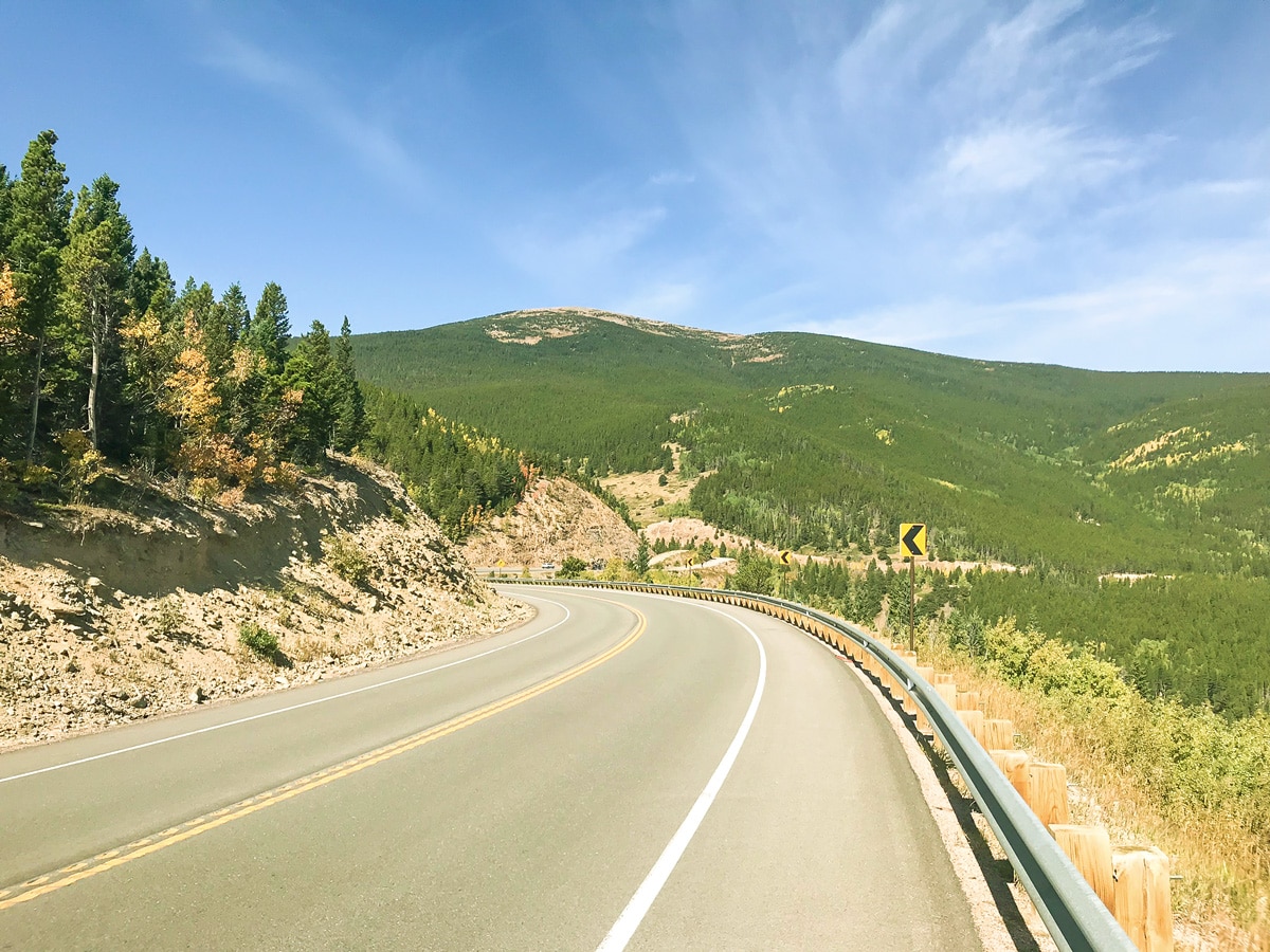
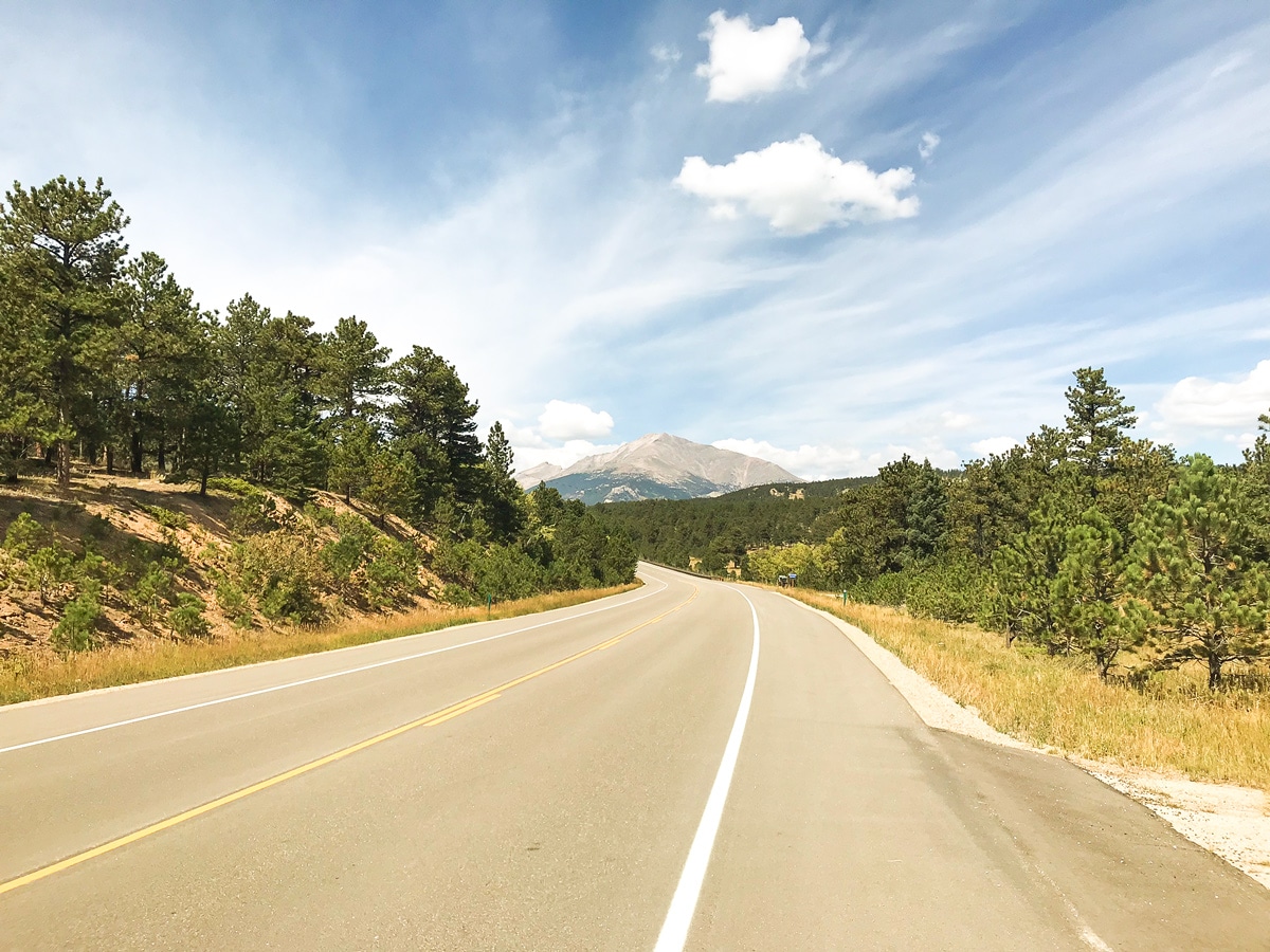
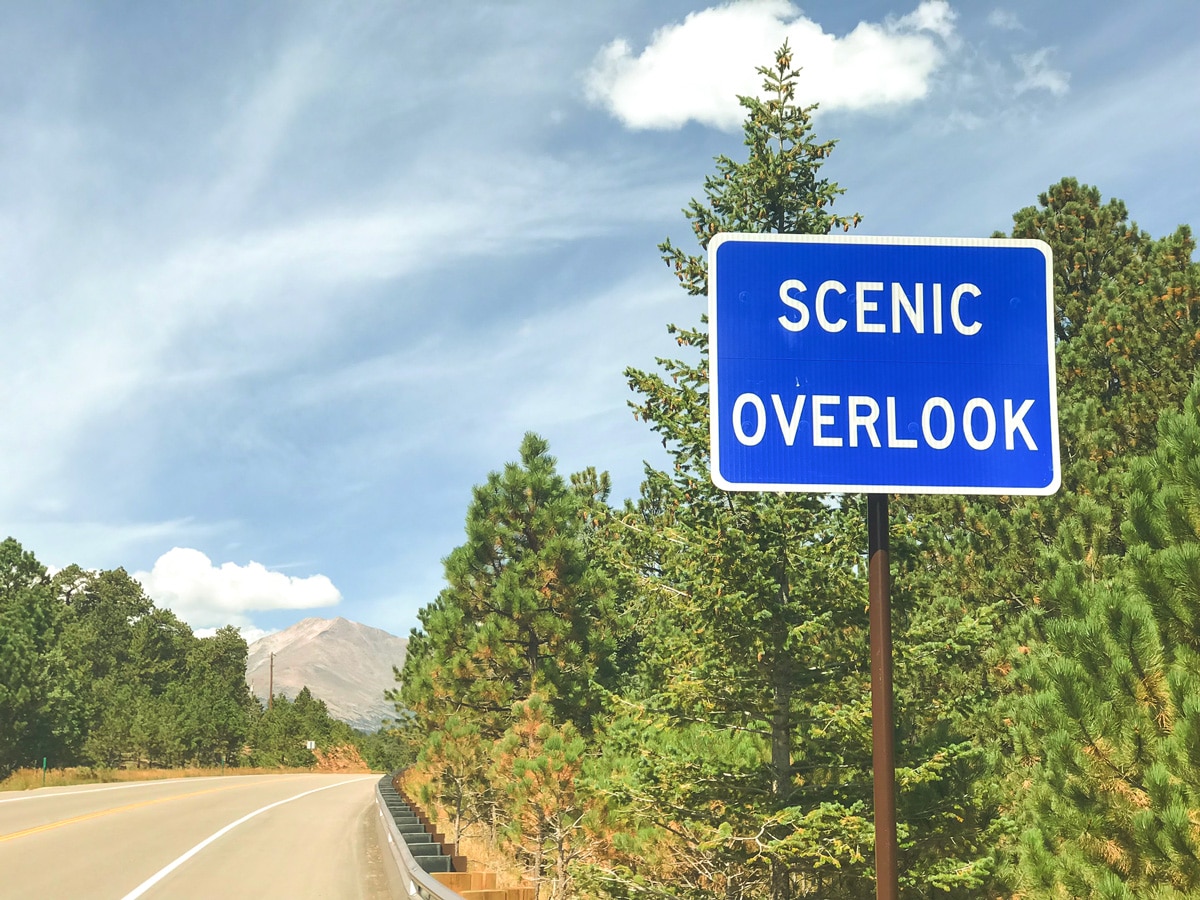
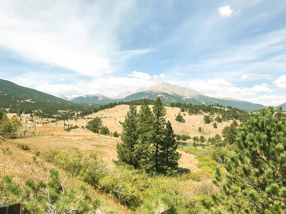
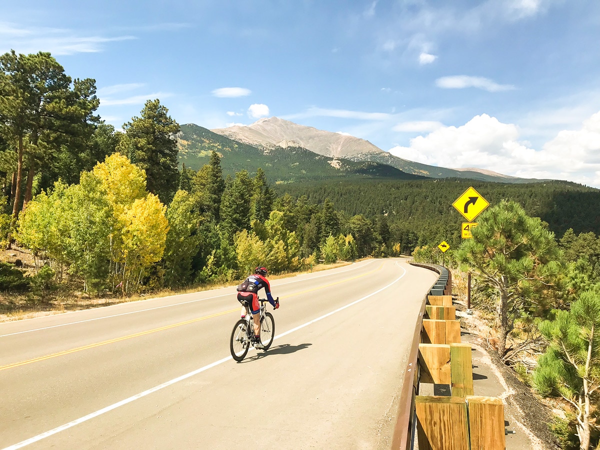
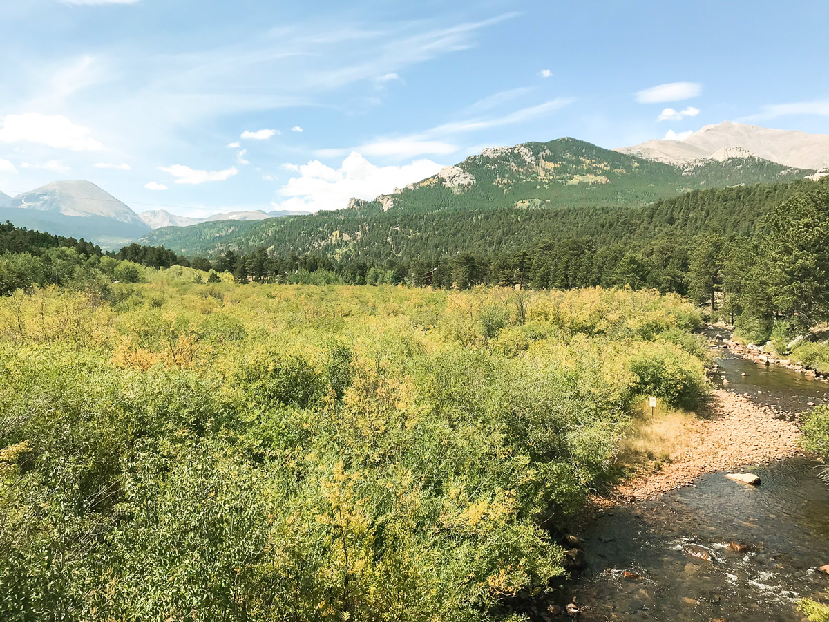
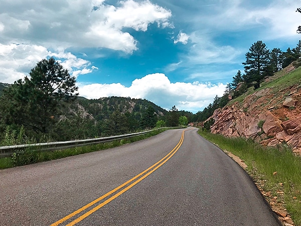
After Ward, you will begin a long downhill section all the way down to Peaceful Valley with amazing views of Indian Peaks and Sawtooth Mountain! Peak to Peak Hwy will arrive at a junction with S St. Vrain Dr.; this is the turnaround point.
Cycle back the way you came along the Peak to Peak Highway, climbing out of Peaceful Valley and back up to Ward and back to the starting point in Nederland.
Insider Hints
Want to see some amazing fall colors? Do the Peak to Peak Hwy bike ride during autumn for an impressive display of colors, but be warned, you won’t be the only one on the road.
Visit the Town of Nederland! Enjoy great food at Crosscut Pizzeria & Taphouse, go to Tin Shed Sports for bike demos and trail information and have a great beer at Very Nice Brewery.
Similar Road Biking Routes to the Peak to Peak Highway Road Biking Route
Jamestown
A popular variation to the longer Left Hand Canyon, the bike ride to Jamestown takes some of the best parts…
Lee Hill
Lee Hill is the big brother bike ride to Olde Stage Rd., meaning this route climbs a bit higher and…
US 36 to Lyons
US 36 to Lyons is a popular bike ride that serves as a training ground for many professional athletes; sections…
Comments