Lee Hill Road Biking Route
View Photos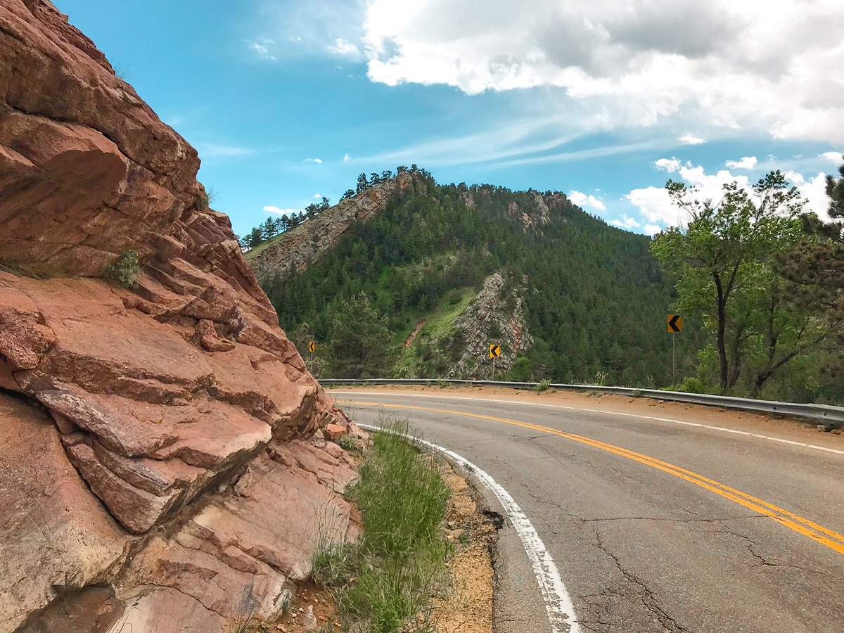
Lee Hill Road Biking Route
Difficulty Rating:
Lee Hill is the big brother bike ride to Olde Stage Rd., meaning this route climbs a bit higher and for a bit longer, making it a more committing ride overall while still offering a great day in the mountains!
Getting there
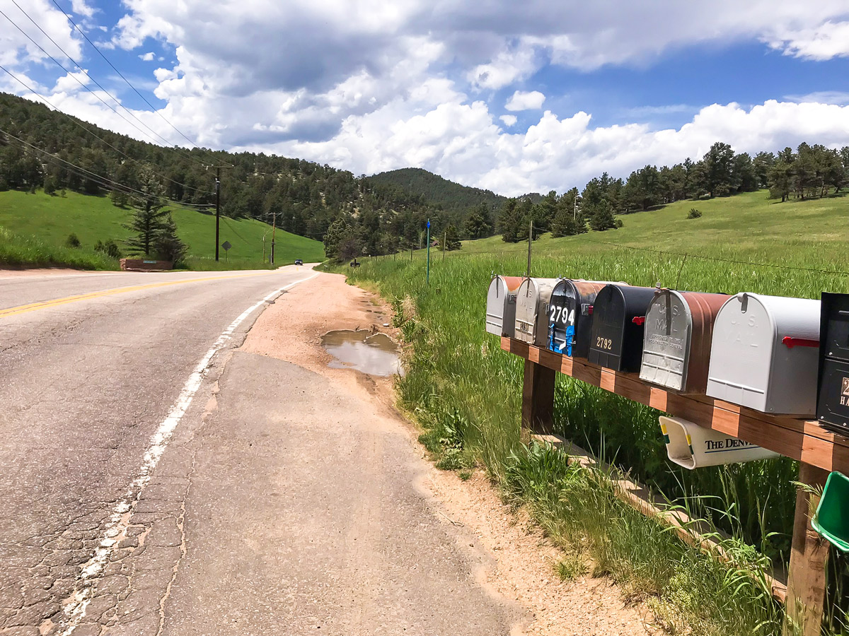
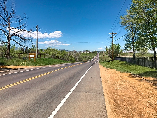
From Boulder, head north on Broadway to Lee Hill Dr. Take Lee Hill Dr. west for a quarter mile to a parking lot on the south side of Lee Hill Dr.

About
| Type of Ride | Single-day |
| Re-supply points | None |
| When to do | Year round |
| Toilets | None |
| Level of Car Traffic | Moderate |
| Road Type | Shared roads with cars |
| Family friendly | No |
| Route Signage | Average |
| Crowd Levels | Moderate |
| Route Type | Loop |
Lee Hill
Elevation Graph
Weather
Route Description for Lee Hill
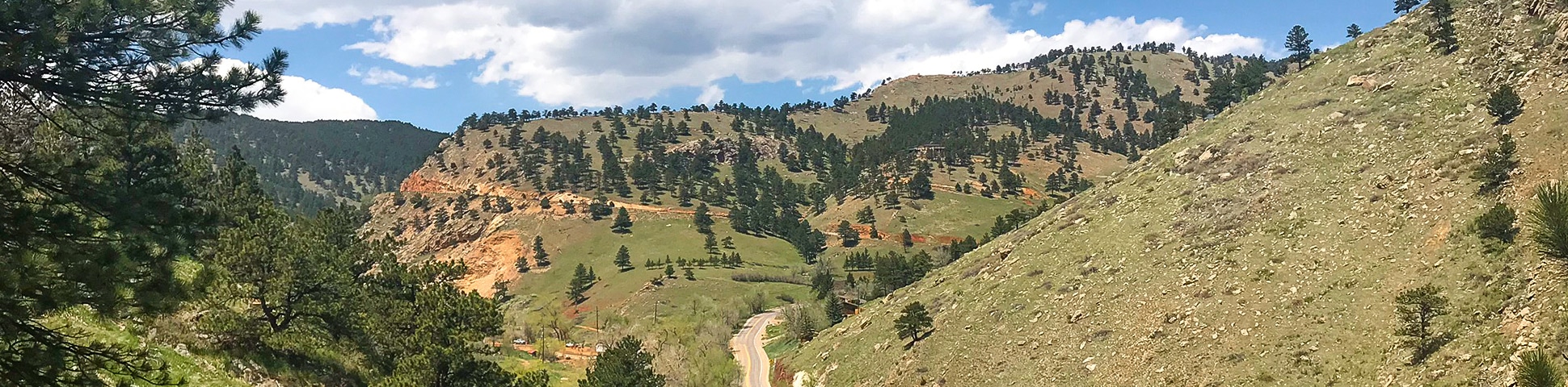
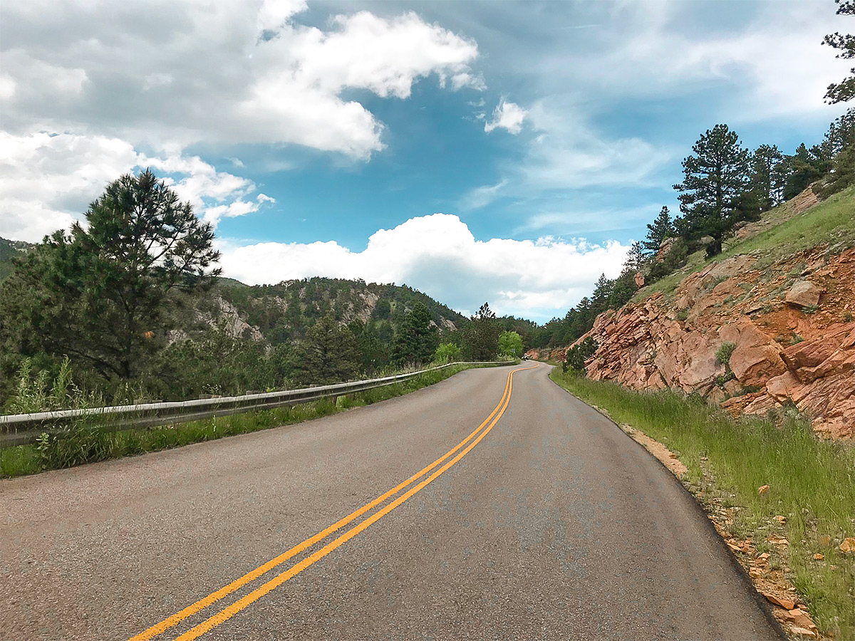
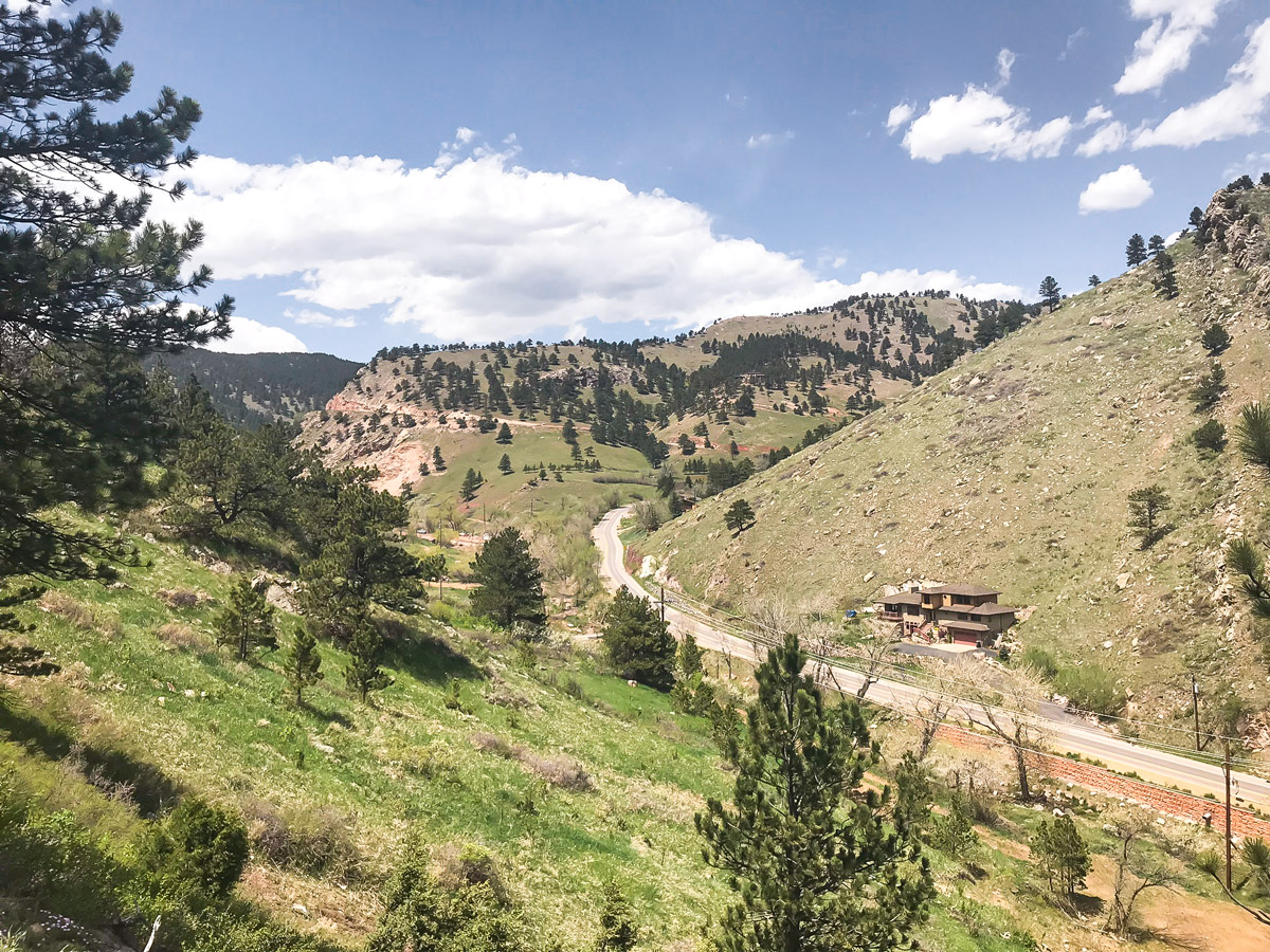
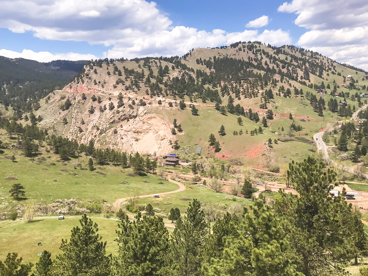
From the parking lot off of Lee Hill Dr., cycle west towards the mountains. The road will curve north. Make a left turn across traffic to remain on Lee Hill Drive at a steep section of tight switchbacks and a narrow shoulder. Use caution at this section!
After the tight switchbacks, the road will mellow out a bit, as you continue to climb towards the top of Lee Hill. A false summit is smack in the middle of the climb, with a brief downhill section followed by a slightly steeper climb. Don’t be fooled! But you are almost to the top! Once you reach the top of Lee Hill, get ready for a superfast downhill down the backside as you drop into Left Hand Canyon.
Watch out for a tight right-hand turn that can cause problems if it is not anticipated. Merge onto Left Hand Canyon Dr. as you continue to fly downhill. At the end of Left Hand Canyon, you will merge onto US 36 which is a busy highway with a large shoulder / bike lane. Take US 36 south back to Boulder, eventually reconnecting with Lee Hill Dr.
Insider Hints
Want a real challenge? At the top of Lee Hill, turn up Deer Trail Road for the steepest climb in Boulder!
For circuit training, try climbing up the backside of Olde Stage Road instead of taking US 36 back to the parking lot.
Similar Road Biking Routes to the Lee Hill Road Biking Route
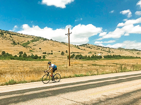
US 36 to Lyons
US 36 to Lyons is a popular bike ride that serves as a training ground for many professional athletes; sections…
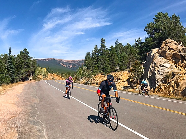
Peak to Peak Highway
The Peak to Peak Highway bike ride is a high elevation, scenic ride that parallels the Continental Divide. There are…
N 63rd St
N 63rd St is the classic Boulder loop with gently rolling hills and mountain views! The nicely paved road with…
Comments