N 63rd St Road Biking Route
View Photos
N 63rd St Road Biking Route
Difficulty Rating:
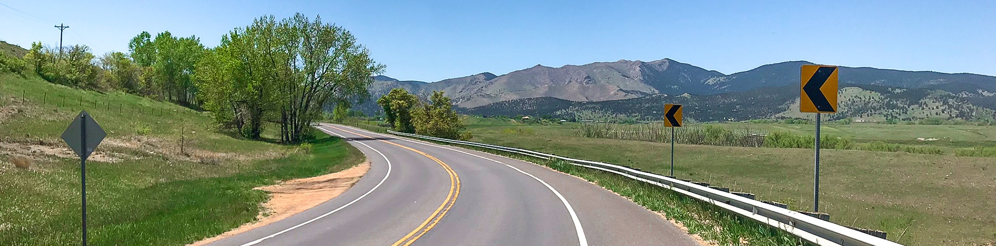
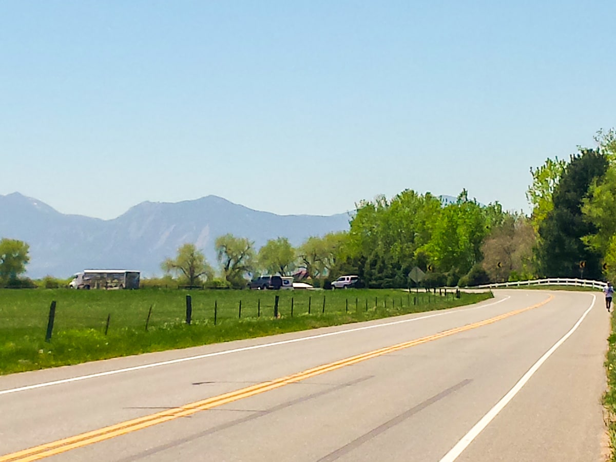
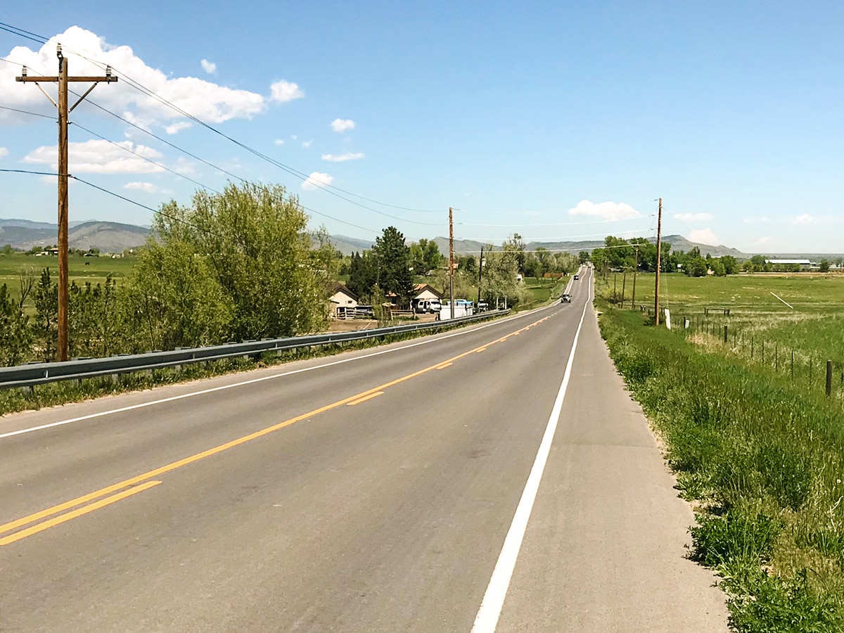
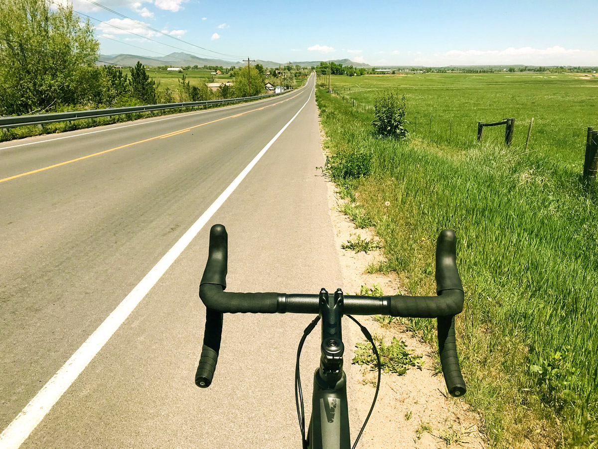
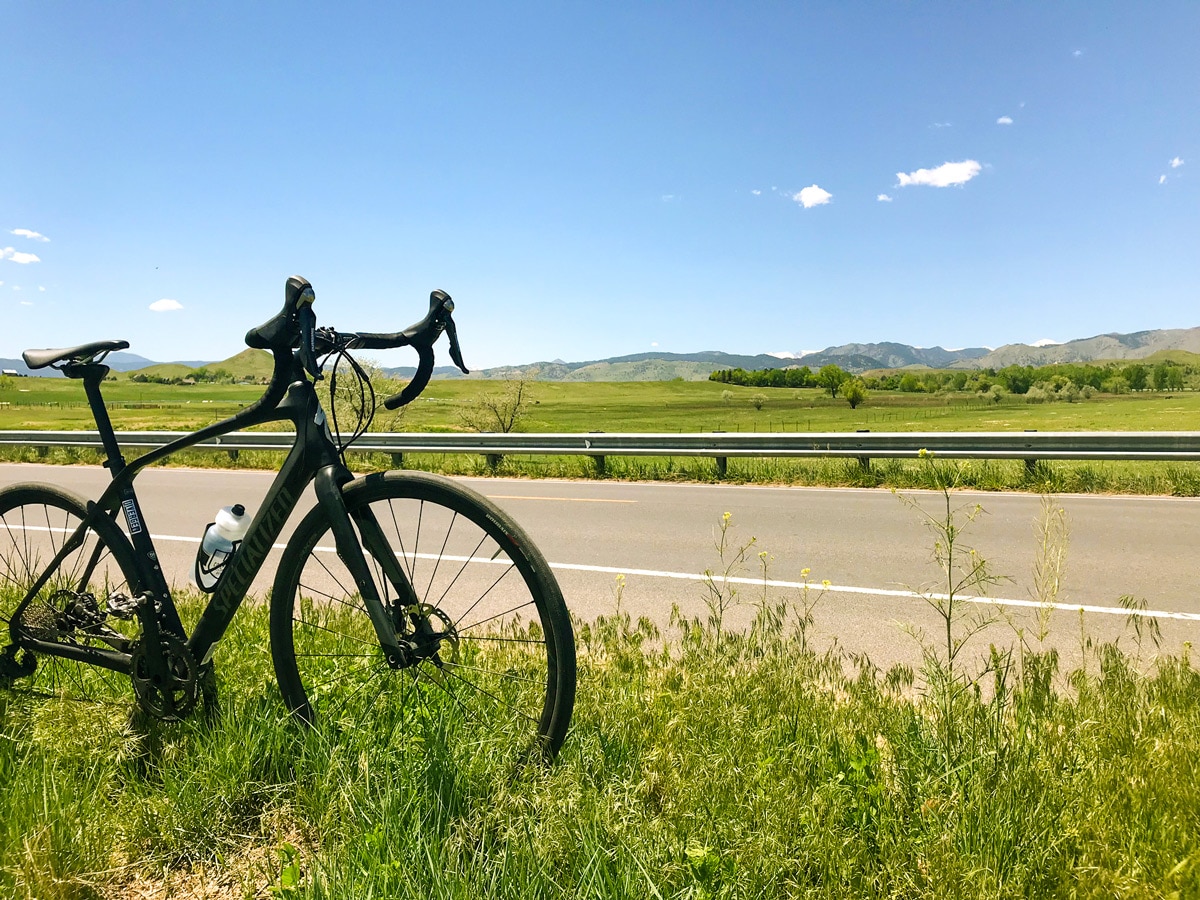
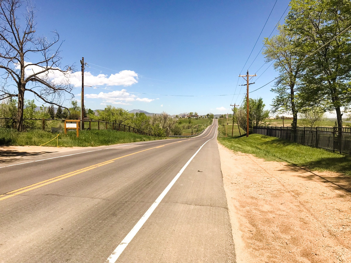
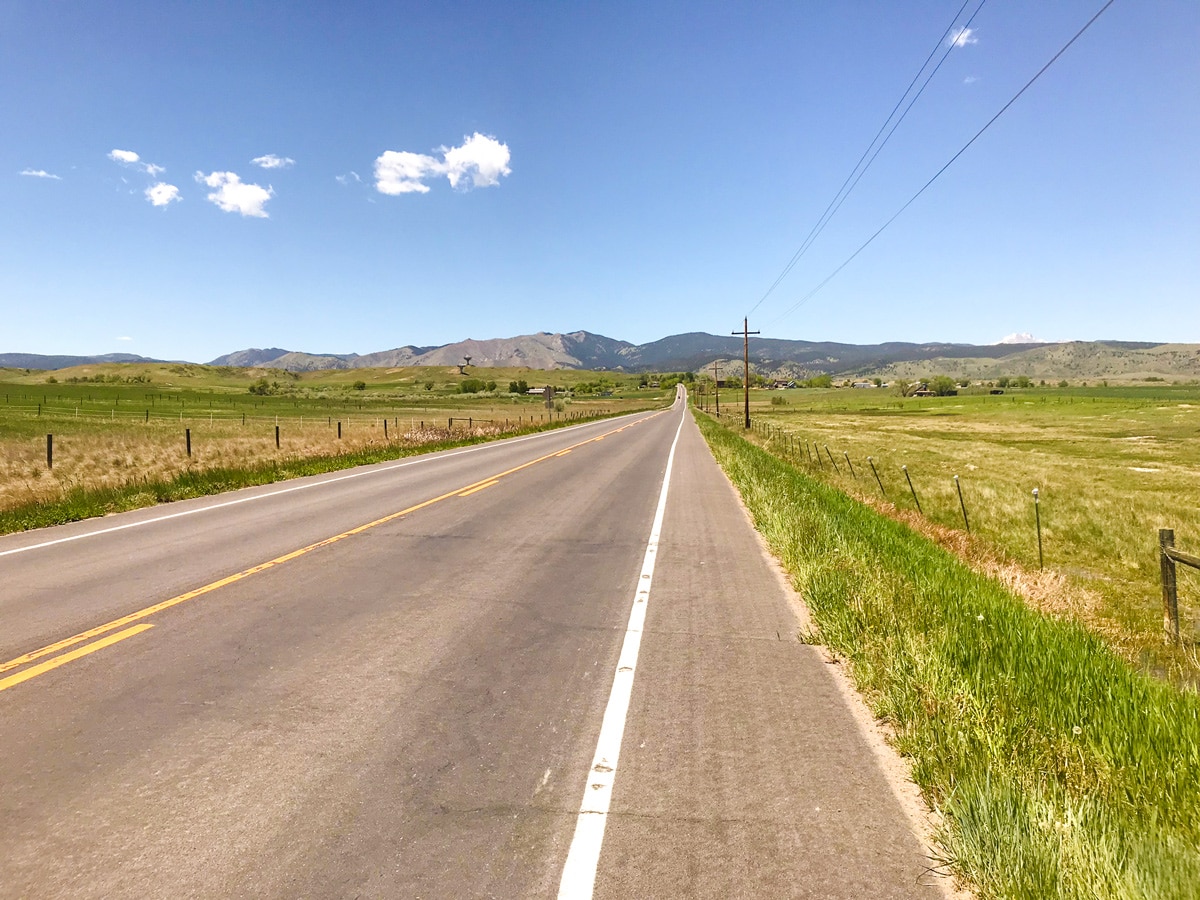
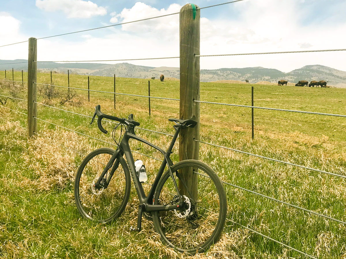
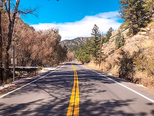
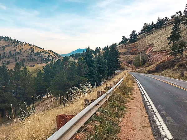
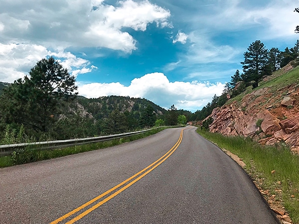
N 63rd St is the classic Boulder loop with gently rolling hills and mountain views! The nicely paved road with a generous shoulder is perfect for a stress-free day on the bike.
Getting there
From Boulder, head northeast along the Diagonal Hwy(119). Take 63rd St. north for a quarter mile to Tom Watson Park.

About
| Type of Ride | Single-day |
| Re-supply points | None |
| When to do | Year round |
| Toilets | Tom Watson Park |
| Level of Car Traffic | Moderate |
| Road Type | Shared roads with cars |
| Family friendly | No |
| Route Signage | Average |
| Crowd Levels | Moderate |
| Route Type | Loop |
N 63rd St
Elevation Graph
Weather
Route Description for N 63rd St
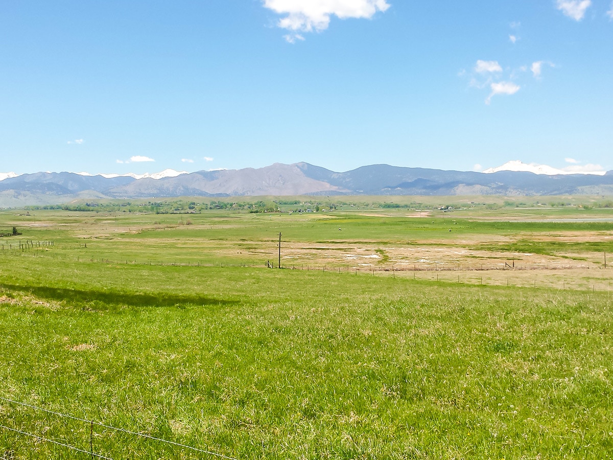
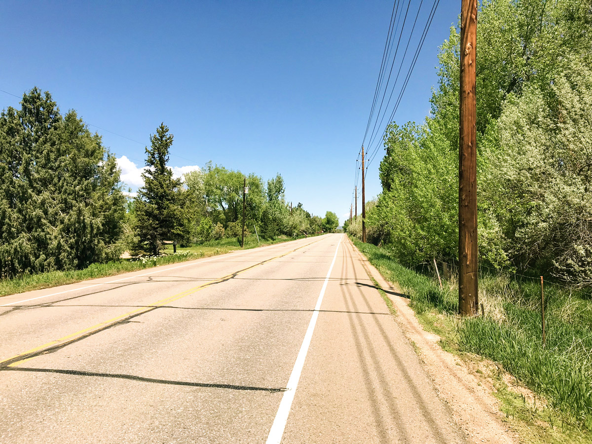
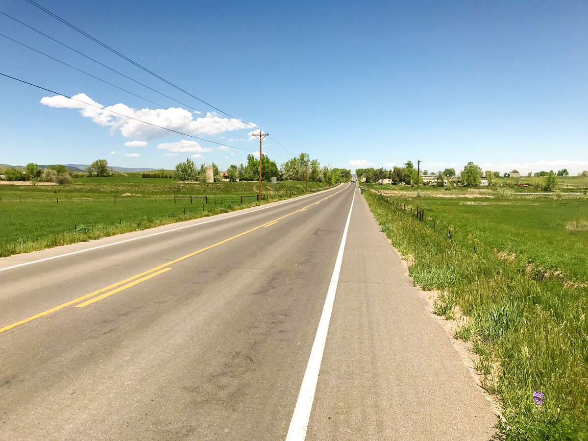
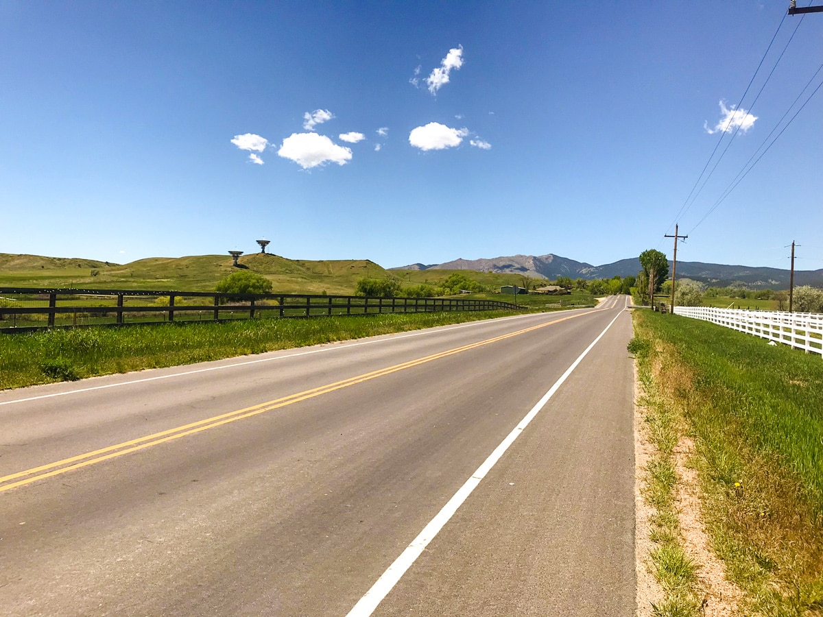
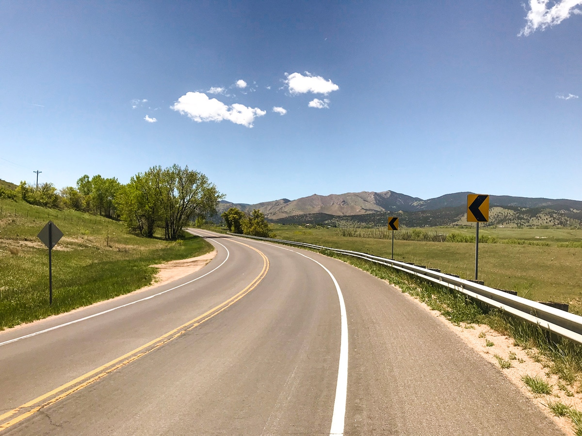
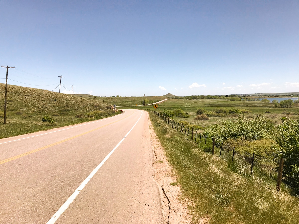
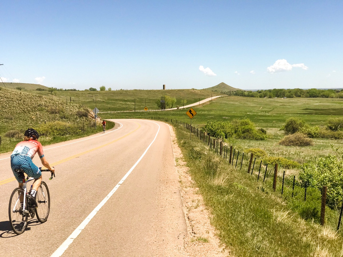
Ride north on 63rd St, heading out of town through rural landscape with wide open views. Gently rolling hills will continue on for as far as the eye can see. After a short climb and an old church, you will have a quick downhill section to the junction of 63rd St and Nelson Rd.
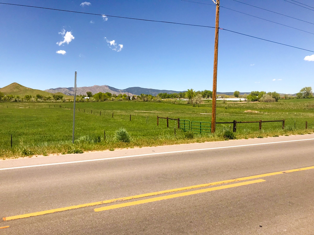
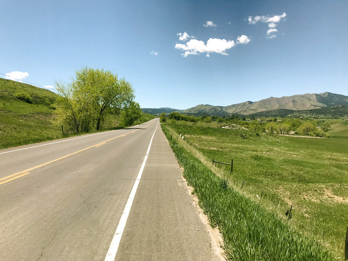
Turn left onto Nelson Rd. heading west towards the mountains. A gradual climb will have you cycling past the NOAA Table Mountain Test Facility. After a slight jog in the road, you will arrive at the junction of Nelson Rd and US 36.
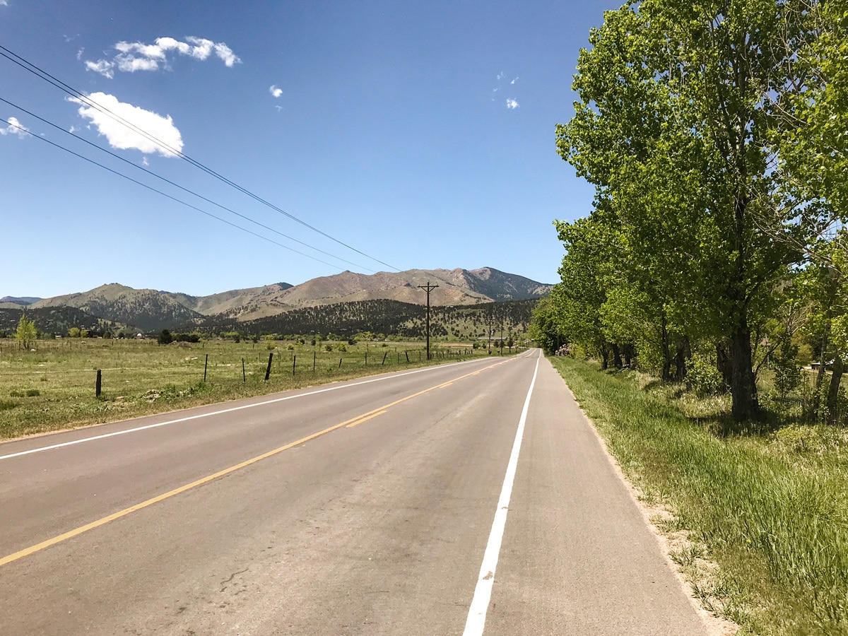
Take US 36 south to Neva Rd., then turn onto Neva Rd. heading east. After a couple of short, punchy climbs, you will enter a sharp right-hand turn followed by an immediate left-hand turn onto Niwot Rd. This is the “turn and burn” section of this ride with a slight downhill, where you can put it in the large chainring and catch a tail wind, as you pedal to a max speed for an all-out effort. Niwot Rd. will reconnect with 63rd St. at the stop sign. Turn right heading south on 63rd St to head back to Tom Watson Park.
Insider Hints
If it is a windy day in Boulder, it will be even windier on the N 63rd Street bike ride!
There are a number of variations to this bike ride, feel free to turn on your GPS and explore the many roads that branch off of 63rd St.
Similar Road Biking Routes to the N 63rd St Road Biking Route
Jamestown
A popular variation to the longer Left Hand Canyon, the bike ride to Jamestown takes some of the best parts…
Olde Stage Road
Olde Stage Rd is the classic introduction to hill climbing in Boulder, with a relatively short and straight forward climb…
Lee Hill
Lee Hill is the big brother bike ride to Olde Stage Rd., meaning this route climbs a bit higher and…
Comments