Left Hand Canyon Road Biking Route
View Photos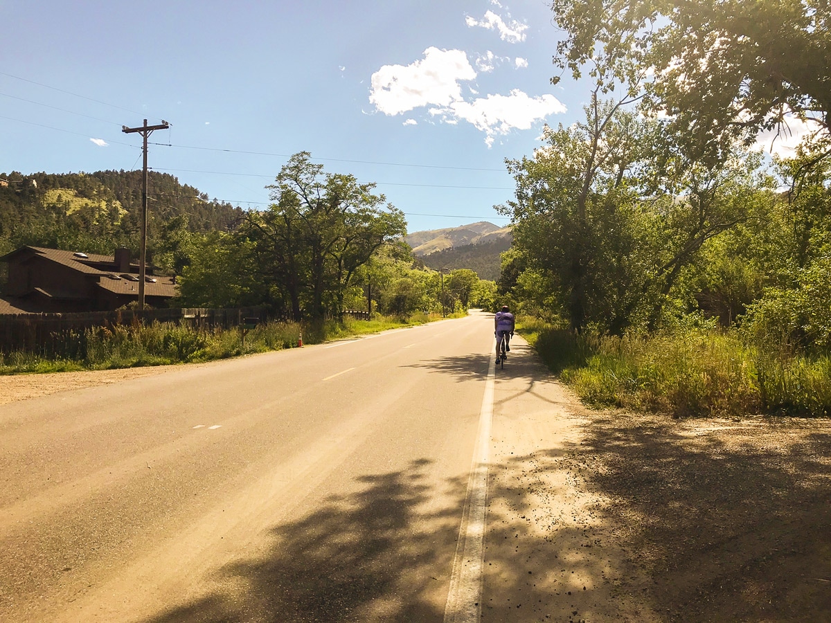
Left Hand Canyon Road Biking Route
Difficulty Rating:
Left Hand Canyon is one of the best road bike rides in Boulder and along the entire Colorado Front Range. Featuring a long steady climb along a shaded shoulder, it is the perfect way to spend a day out in Boulder.
Getting there
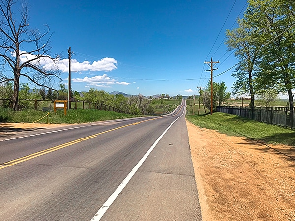
From Boulder, head north on US 36 towards Lyons. The entrance to Left Hand Canyon will be on the west side of US 36. Parking is along the road at the beginning of Left Hand Canyon Dr.

About
| Type of Ride | Single-day |
| Re-supply points | Utica Street Market in Ward, CO |
| When to do | April - November |
| Toilets | Ward, CO |
| Level of Car Traffic | Moderate |
| Road Type | Shared roads with cars |
| Family friendly | No |
| Route Signage | Average |
| Crowd Levels | Moderate |
| Route Type | One Way |
Left Hand Canyon
Elevation Graph
Weather
Route Description for Left Hand Canyon
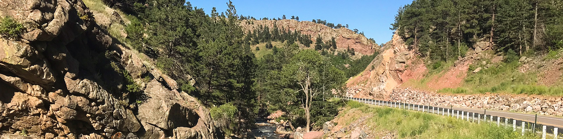
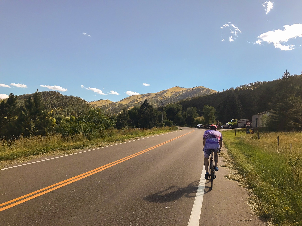
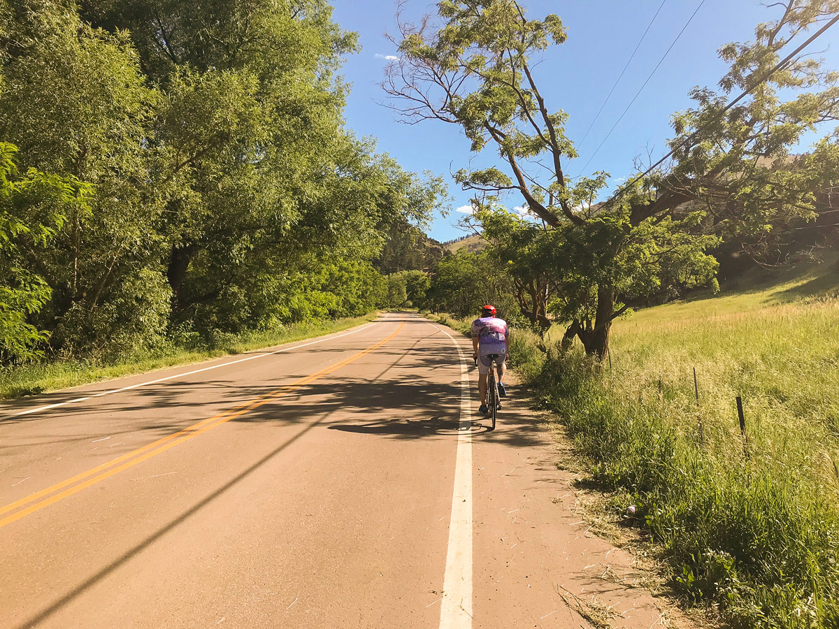
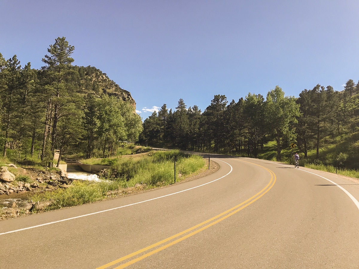
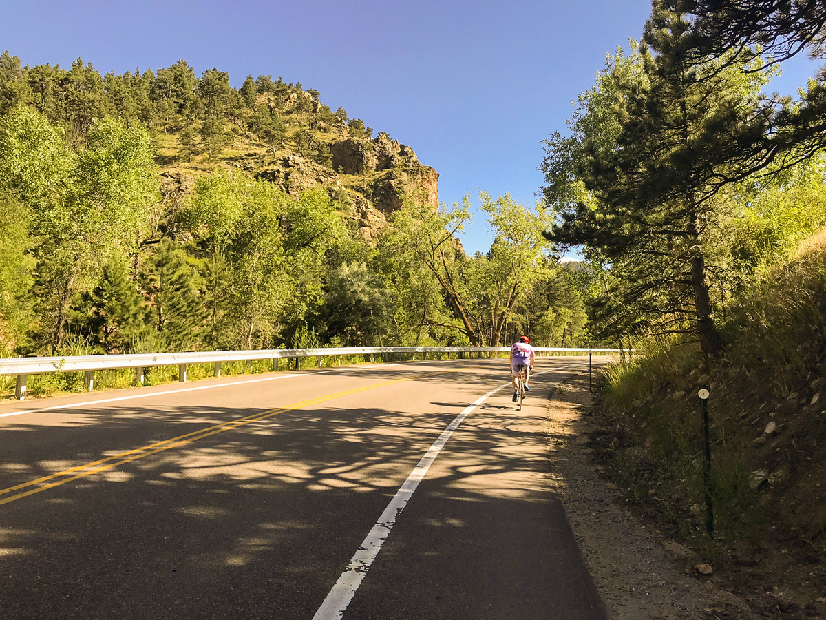
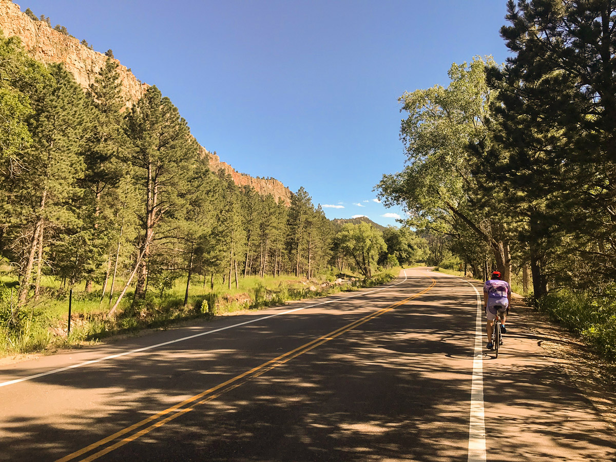
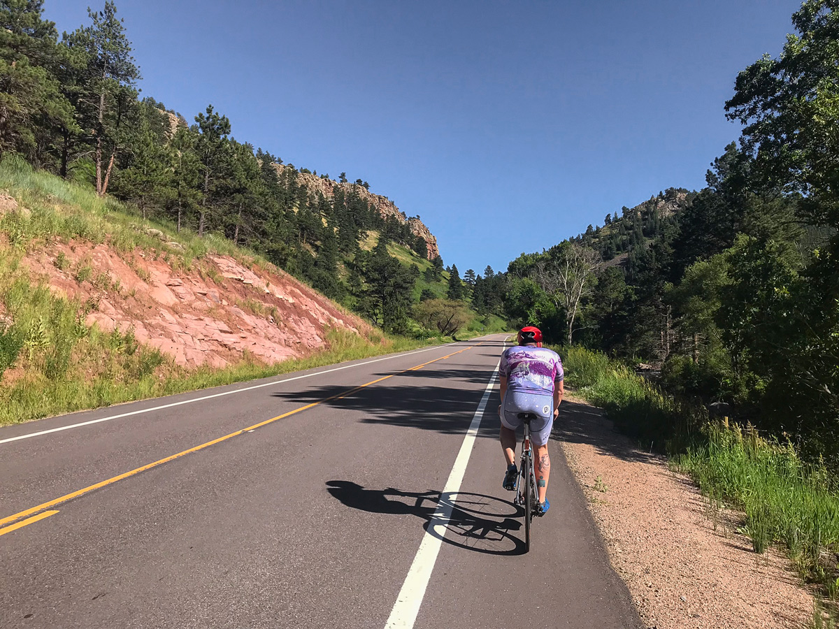
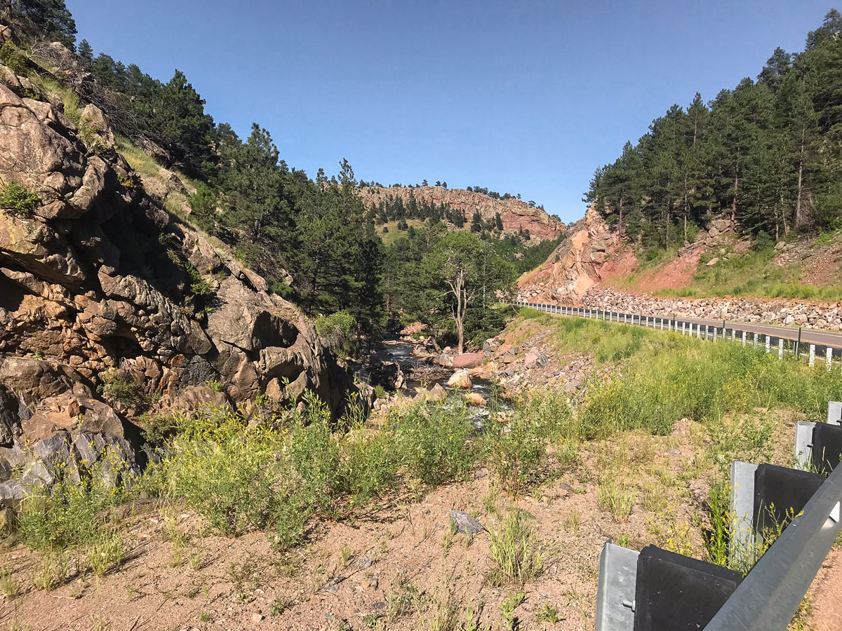
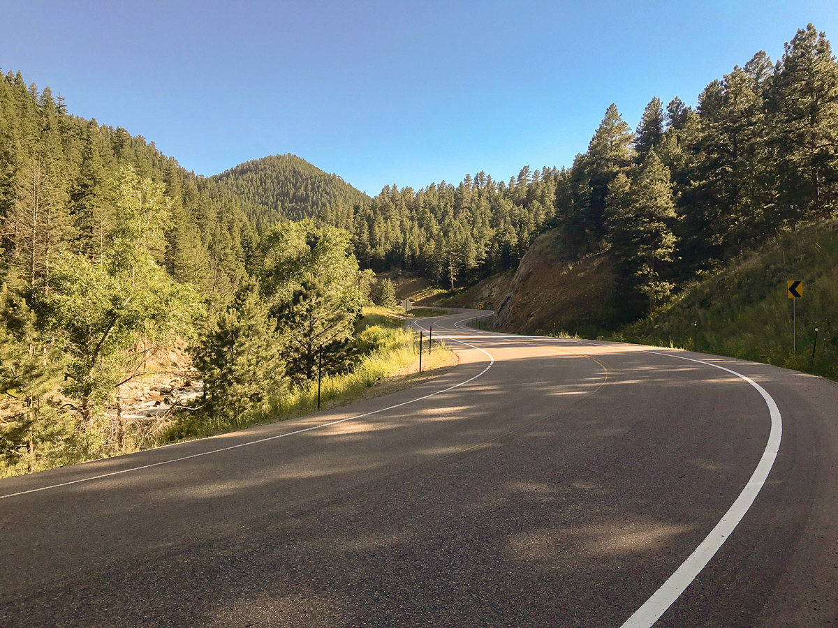
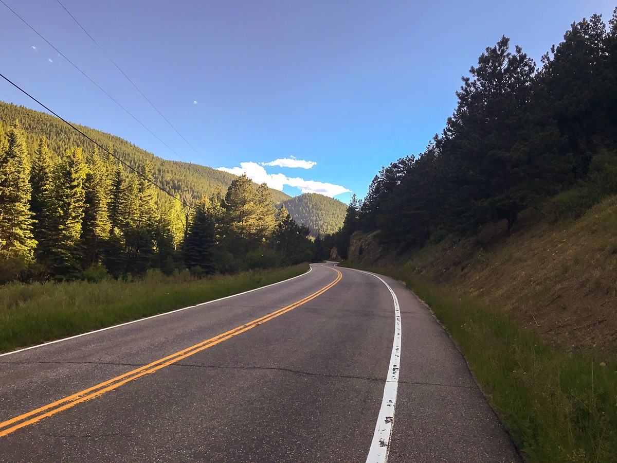
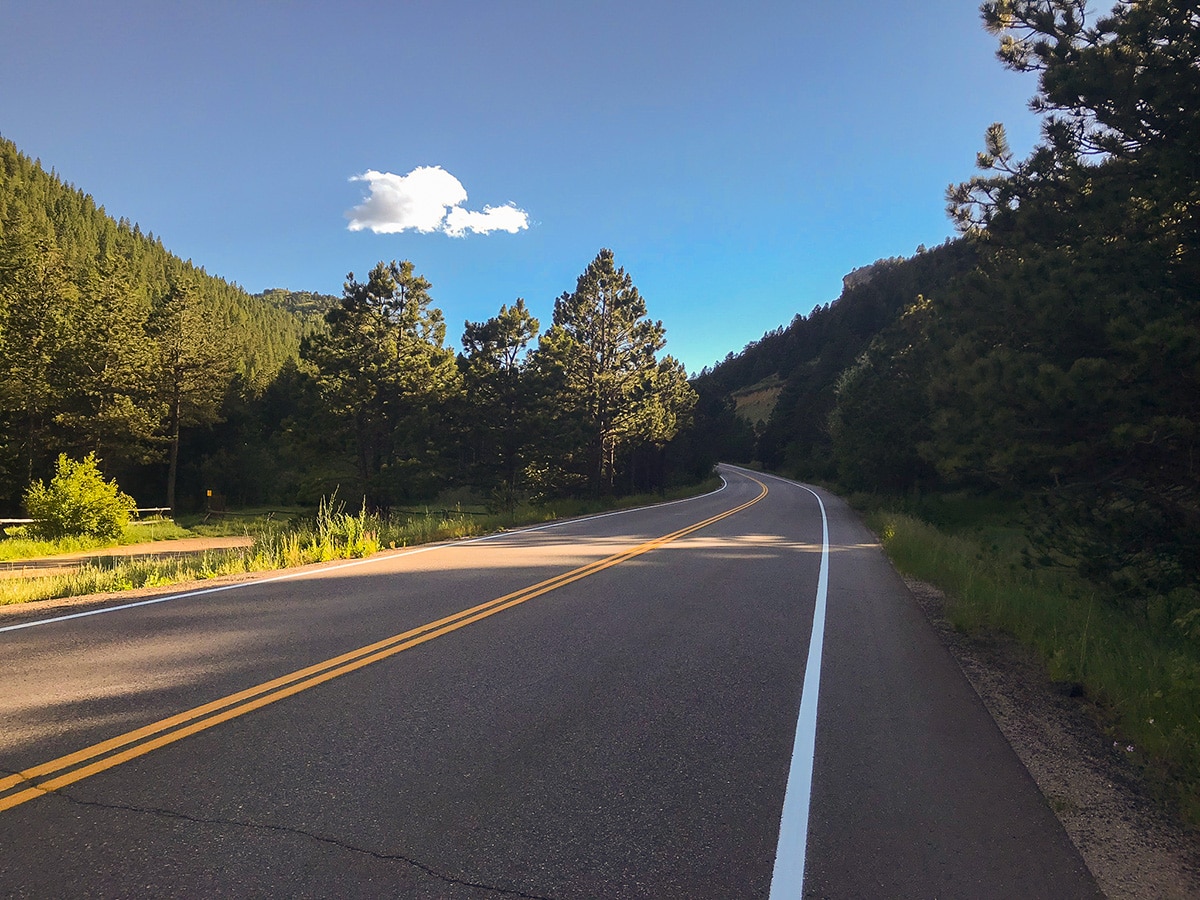
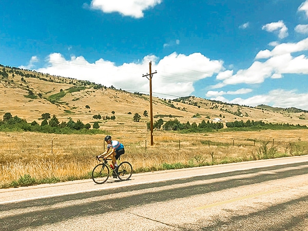
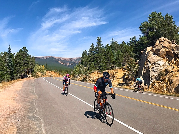
Left Hand Canyon is a world class Boulder bike ride. It begins in the flats of Boulder Valley and climbs to the historic mining town of Ward. Newly paved and nice wide shoulders make this an enjoyable bike ride. Left Hand Canyon gradually climbs out of Boulder Valley along a curvy canyon road that follows the path carved out by Left Hand Creek. You will be surrounded by tree covered mountains as you ride through sections of the Arapaho and Roosevelt National Forest.
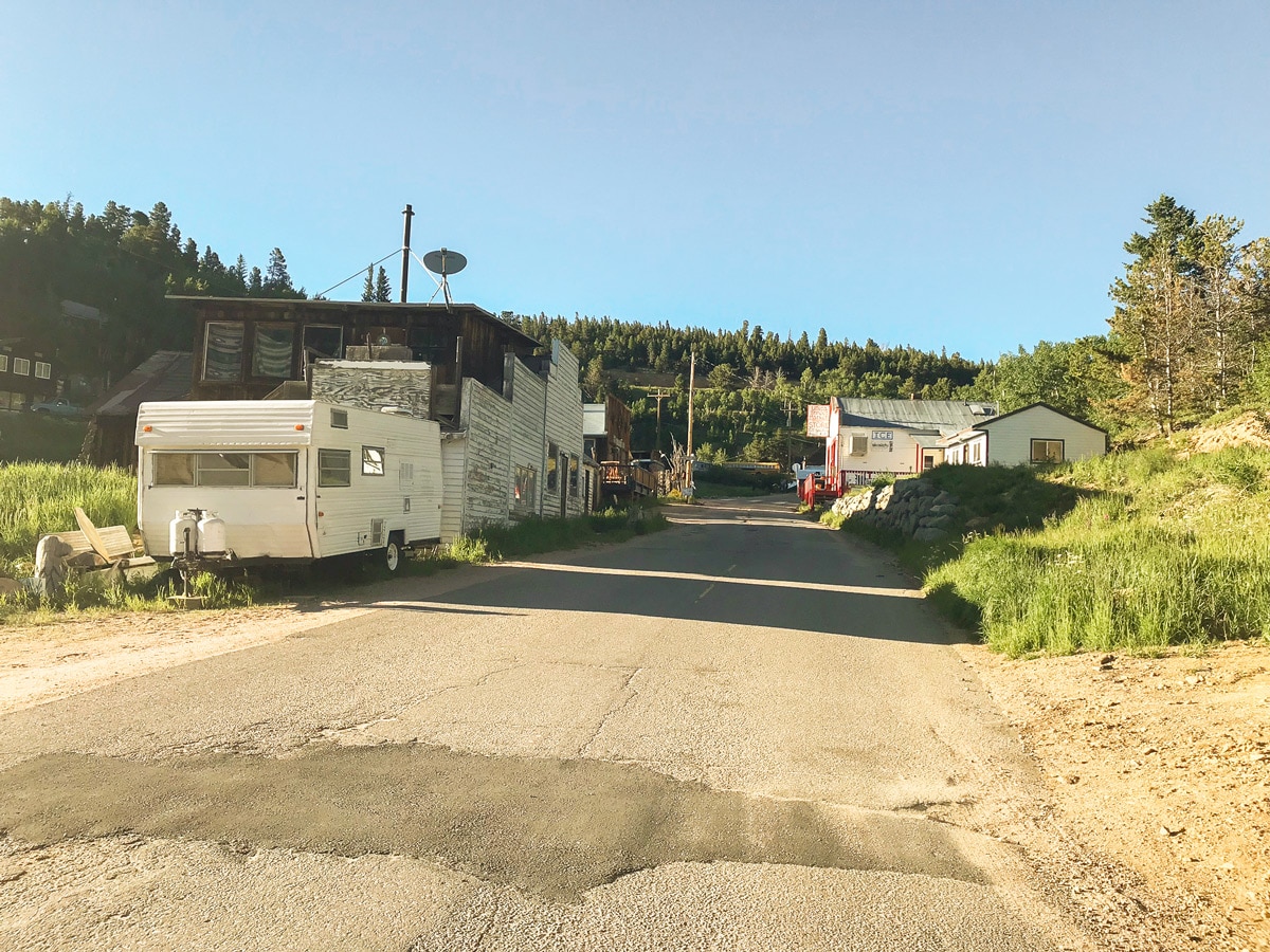
The road becomes steeper as you continue to climb towards Ward, until a section called “Turn of events” where the climb becomes strenuous up the final mile and a half. You will know you are getting close to town, when you start seeing abandoned classic cars and trucks along the road. Ward is not technically a ghost town, but there is a sense of a place time forgot.
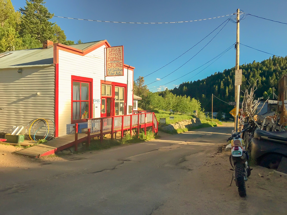
Once you make your way into town, you will see the 3 or 4 buildings that make up the main street and downtown. One of the buildings is the Utica Street Market, which is a bike friendly destination for snacks and refreshments and is also the turning around point to head back down the canyon. The way down is fast and flowy! Put it in the big ring and blast downhill. Make sure to be careful and watch for sections of loose gravel or debris on the road as you fly back down.
Insider Hints
Utica Street Market in the town of Ward is a bike friendly destination for snacks and refreshments.
Continue to climb up to Brainard Lake Recreation Area
Similar Road Biking Routes to the Left Hand Canyon Road Biking Route
US 36 to Lyons
US 36 to Lyons is a popular bike ride that serves as a training ground for many professional athletes; sections…
Peak to Peak Highway
The Peak to Peak Highway bike ride is a high elevation, scenic ride that parallels the Continental Divide. There are…
N 63rd St
N 63rd St is the classic Boulder loop with gently rolling hills and mountain views! The nicely paved road with…
Comments