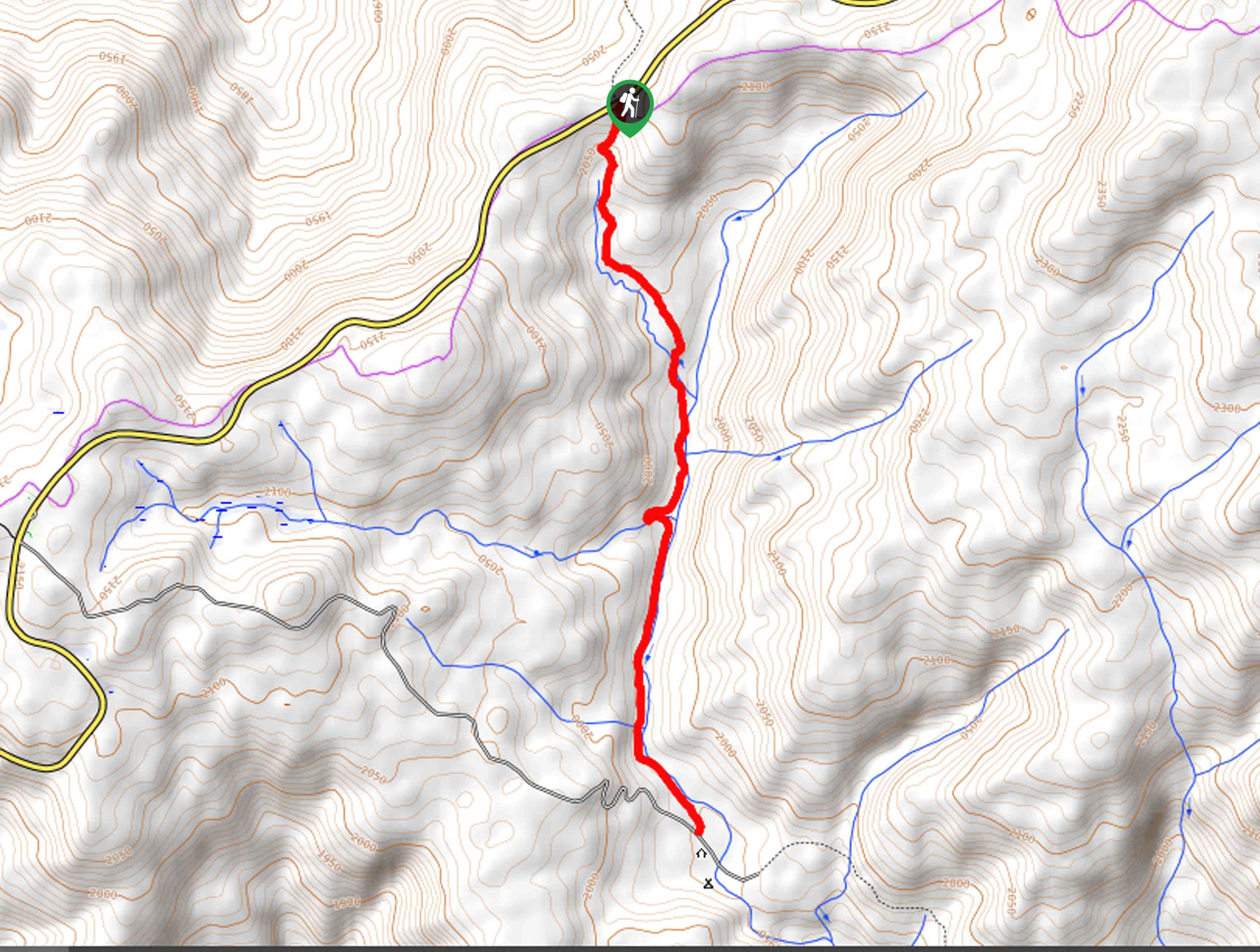
May Lake via Tioga Pass Road
View Photos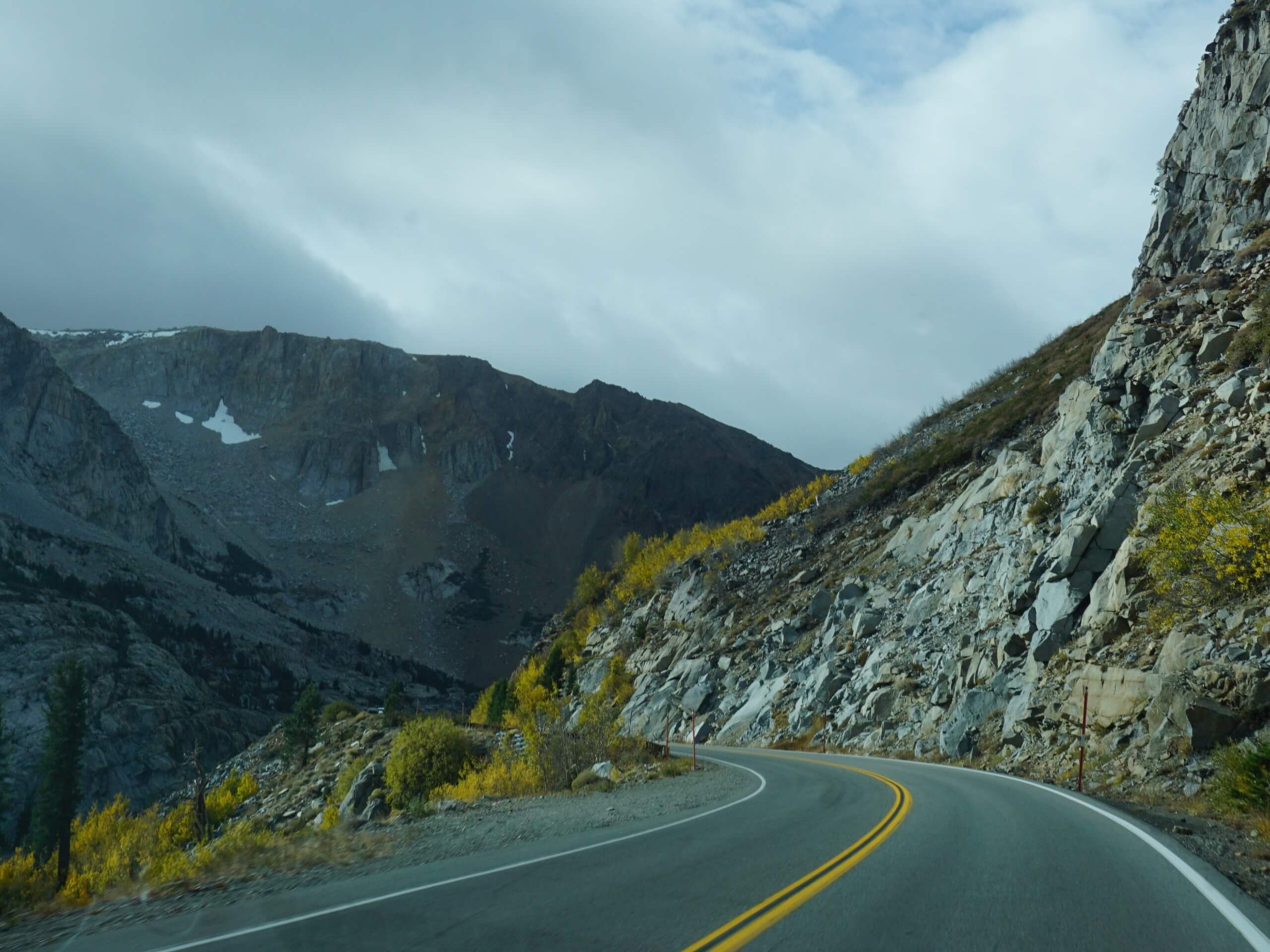
May Lake via Tioga Pass Road
Difficulty Rating:
The May Lake via Tioga Pass Road is an awesome adventure in Yosemite that hikers of all skill levels can enjoy. Wander through conifers and up to the glittering lake surrounded by granite bluffs, where you can sit along the shoreline and admire the Sierra Nevada peaks that decorate the landscape.
Getting there
The May Lake via Tioga Pass Road departs from the May Lake to Snow Creek Trailhead off Tioga Pass Road.

About
| Backcountry Campground | May Lake High Sierra Camp, Wilderness Permit Required. |
| When to do | May Lake via Tioga Pass Road April-October |
| Pets allowed | No |
| Family friendly | Yes |
| Route Signage | Average |
| Crowd Levels | Moderate |
| Route Type | Out and back |
May Lake via Tioga Pass Road
Elevation Graph
Weather
May Lake via Tioga Pass Road Description
The May Lake via Tioga Pass Road is a must-add to your Yosemite itinerary. This epic hike travels through a more sequestered area of the park, offering a tranquil experience as you wander through mixed pine forests and exposed meadowlands to reach the crystal-clear lake. This is a popular backpacking route with stunning campsites alongside the lakeshore, so you may be in the company of other eager adventurers at the lake. Though not necessary, we suggest wearing a pair of sturdy footwear to avoid a rolled ankle on uneven terrain. Note: the National Park charges an entrance fee; refer to the NPS website for additional information.
Embark on your adventure along the May Lake via Tioga Pass Road from the May Lake to Snow Creek Trailhead. Setting out from here, you will be guided northwest through the sparse meadowlands and up granite ridges. Eventually, you will reach the May Lake parking lot, where you will continue trekking north along May Lake. Enjoy the granite peaks that encompass you as you climb up to the lake. Note: the final push-up to the lake is strenuous, but the views from the lake’s shore are well worth the sweat!
You may be tempted to hop in the water once you reach the shores of the shimmering lake, but unfortunately swimming here is prohibited. Admire the waters from the shoreline and revel in the postcard worthy scene of the glittering waters bounded by granite bluffs, before making your return along the trail.
Similar hikes to the May Lake via Tioga Pass Road hike

Chain Lakes Hike
Explore one of the more secluded trails in Yosemite National Park along the Chain Lakes Hike. This wonderful trail exposes…
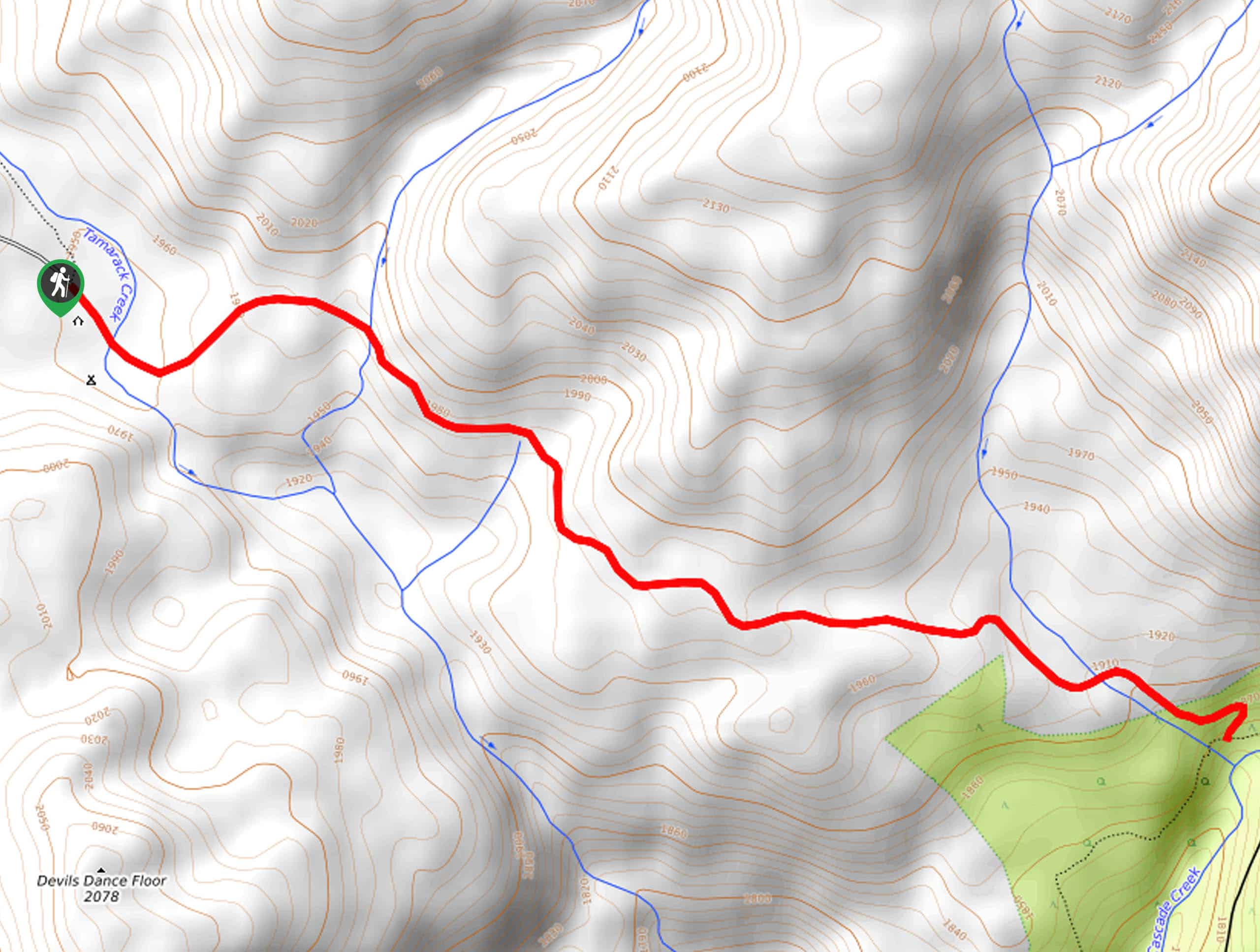
Cascade Creek Trail
The Cascade Creek Trail is a great adventure atop Yosemite Valley’s northern rim that boasts breaking views of the lush…
Tamarack Creek Trail
The Tamarack Creek Trail is an easy-going, family-friendly hike in Yosemite that boasts wonderful scenes of vibrant wildflowers in the…
Comments