
Tamarack Creek Trail
View Photos
Tamarack Creek Trail
Difficulty Rating:
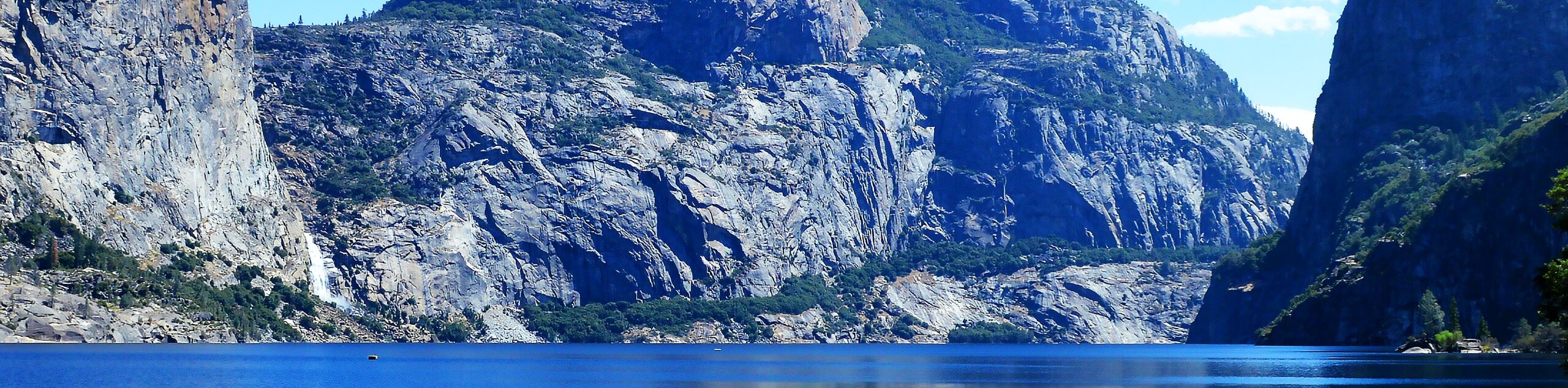
The Tamarack Creek Trail is an easy-going, family-friendly hike in Yosemite that boasts wonderful scenes of vibrant wildflowers in the summer months. The trail follows along the gurgling waters of Tamarack Creek to the Tamarack Flat Campground. This is a great adventure to simply get outside and enjoy the beauty of nature.
Getting there
The Tamarack Creek Trail departs from the Tamarack Creek Trailhead off Tioga Pass Road.

About
| Backcountry Campground | Tamarack Flats Campground, Wilderness May Be Permit Required. |
| When to do | Tamarack Creek Trail May-October |
| Pets allowed | No |
| Family friendly | Yes |
| Route Signage | Average |
| Crowd Levels | Moderate to High |
| Route Type | Out and back |
Tamarack Creek Trail
Elevation Graph
Weather
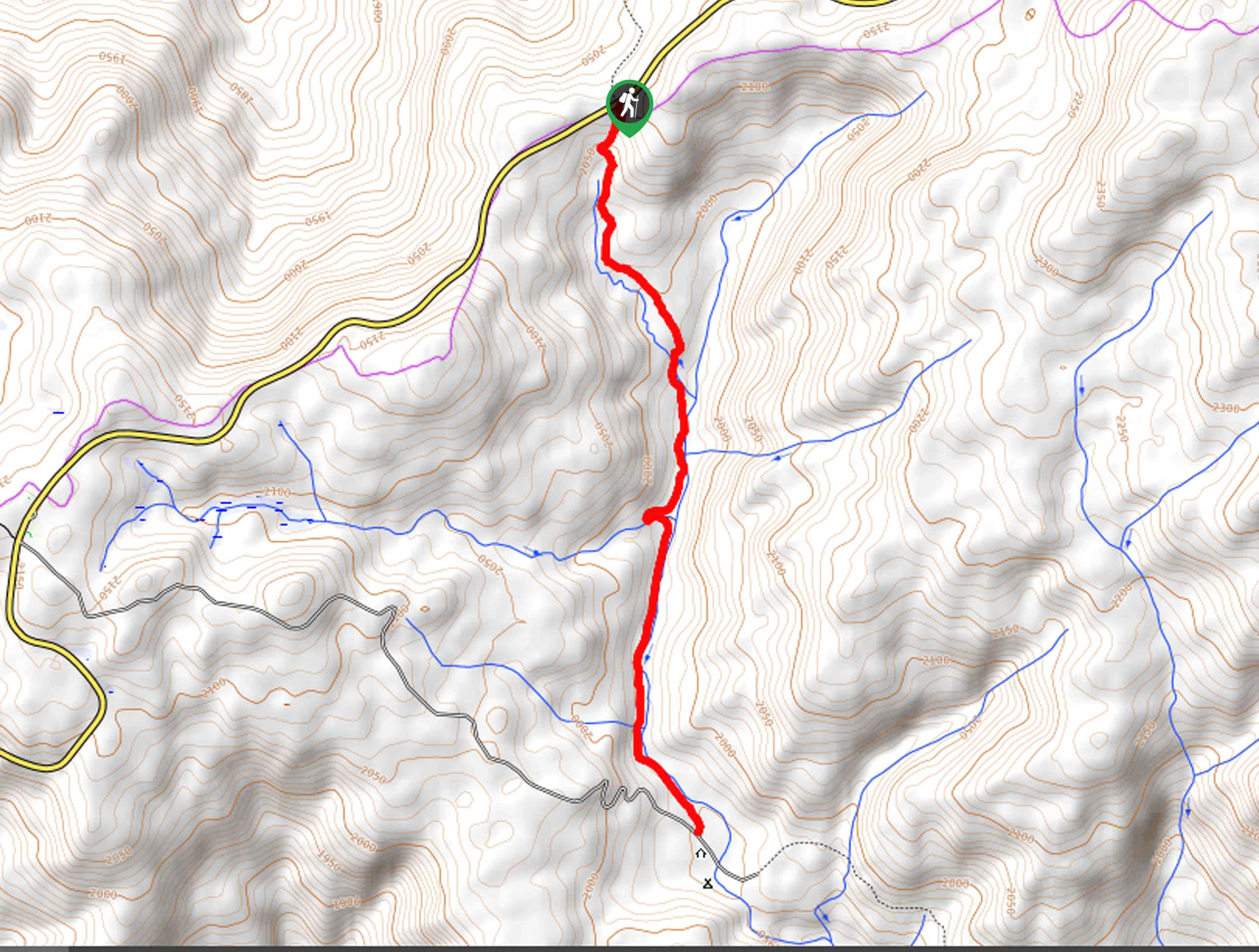
Tamarack Creek Trail Description
Immerse yourself in the beautiful Yosemite wilderness along the Tamarack Creek Trail. This scenic nature walk travels along the babbling waters of the creek and through stunning landscapes that warrant plenty of photo ops. Though relatively easy-going, sections of the path are quite rocky, so wear a pair of sturdy footwear and mind your footing. Additionally, it is important to be bear aware as you wander! As the path stretches through both exposed and shaded terrain, we suggest wearing layers and sun protection as you walk. Note: the National Park charges an entrance fee; refer to the NPS website for additional details.
Setting out from the trailhead, the Tamarack Creek Trail wanders south beneath the shade of towering conifers. Not long after your departure you will reach Tamarack Creek, where you will be met by the soothing sounds of running water as you hike. Enjoy the sights of the vibrant wildflowers decorating the granite terrain as you wander further into the wilderness. As you hike, the path will intersect with a few snow-melt streams before delivering you to the Tamarack Flat Campground, marking your turnaround point.
If you still have some energy left in the reserves, we encourage you to explore the Cascade Creek Trail. If not, simply retrace your steps along the route all the way back to the trailhead.
Similar hikes to the Tamarack Creek Trail hike
Beehive Meadow Trail
The Beehive Meadow Trail is an amazing adventure in Hetch Hetchy that travels through diverse terrains. Cross the O’Shaughnessy Dam,…

Chain Lakes Hike
Explore one of the more secluded trails in Yosemite National Park along the Chain Lakes Hike. This wonderful trail exposes…
Grant Lakes Hike
Immerse yourself in Yosemite’s high country along the Grant Lakes Trail. This epic hike exhibits the grandeur and diversity of…
Comments