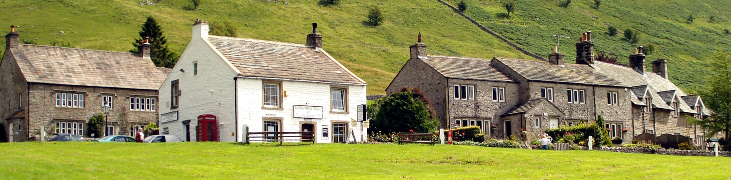
Thruscross Reservoir Walk
View Photos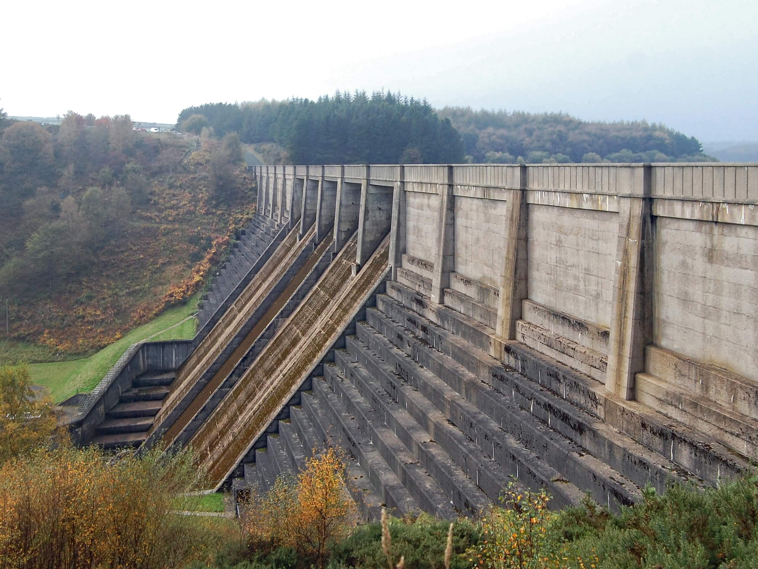
Thruscross Reservoir Walk
Difficulty Rating:
The walk around Thruscross Reservoir is a nice and easy journey in the Yorkshire Dales that will provide you a sense of relaxation as you take in the natural beauty of the Washburn Valley. While out on the trail, you will traverse a variety of terrain, such as woodlands and open moor, as you make your way around the edge of the reservoir. This is a fantastic walking route that can be undertaken by outdoor enthusiasts of nearly any age or skill level.
Getting there
To reach the trailhead for the Thruscross Reservoir Walk from Summerbridge, head southwest on B6451 for 1.2mi and turn right onto Dacre Lane, following it for 1.8mi. Here, the road will veer to the right and become Harper Lane. Follow this for 0.9mi and continue straight onto Reservoir Road for 1.1mi to find the car park on the left.

About
| Backcountry Campground | No |
| When to do | Year-Round |
| Pets allowed | Yes - On Leash |
| Family friendly | Yes |
| Route Signage | Average |
| Crowd Levels | Moderate |
| Route Type | Circuit |
Thruscross Reservoir Walk
Elevation Graph
Weather
Thruscross Reservoir Walk Description
If the aim for your day on the trails is relaxation as opposed to pushing yourself through difficult terrain, then the Thruscross Reservoir Walk is sure to meet your needs. This laid-back adventure will lead you across a variety of terrain surrounding this body of water, offering scenic views of the surrounding countryside that will leave you feeling refreshed and reconnected with nature.
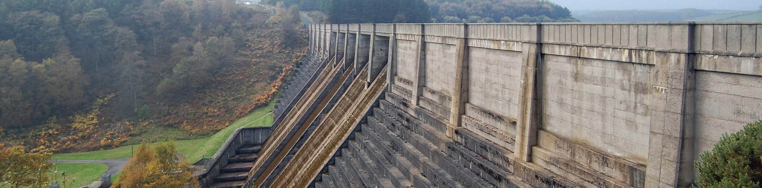
Setting out from the car park, you will initially make your way to the northeast through a peaceful stretch of woodland terrain before traversing the open countryside surrounding the two arms along the northern edge of the reservoir. There is a bit of wild and rugged terrain along this northern part of the route; however, it is short lived and after you cross over the River Washburn, you will traverse the moor on the eastern edge of the water. From here, you will follow the shoreline to the southeast and cross over the dam wall, taking in some final views across the calm waters of Thruscross reservoir on the return to the car park.
Similar hikes to the Thruscross Reservoir Walk hike
Old Gang Smelt Mill and Reeth High Moor Walk
The Old Gang Smelt Mill and Reeth High Moor Walk is a rough and rugged adventure that will take you…
Hawes and Sedbusk Walk
The Hawes and Sedbusk Walk is a great family-friendly adventure in Yorkshire Dales National Park that will take you through…
Buckden Circular Walk
The Buckden Circular Walk is a lovely adventure in Yorkshire Dales National Park that will provide scenic views overlooking Wharfedale…
Comments