Malham Tarn and Cove Walk
View Photos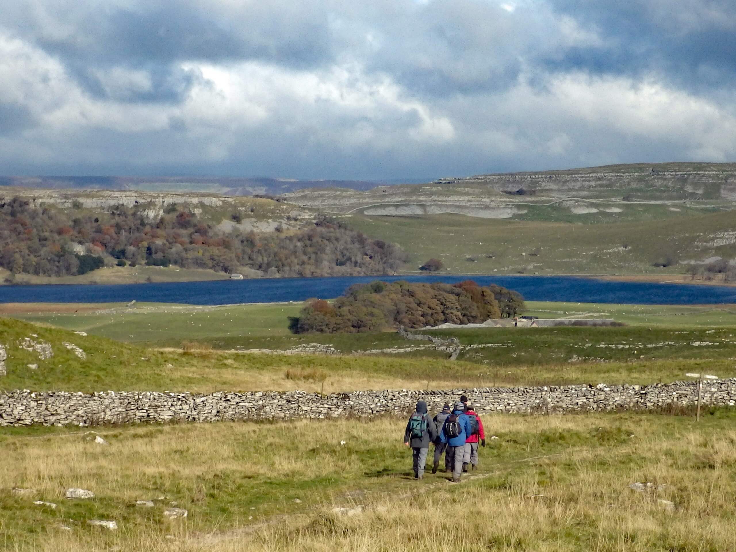
Malham Tarn and Cove Walk
Difficulty Rating:
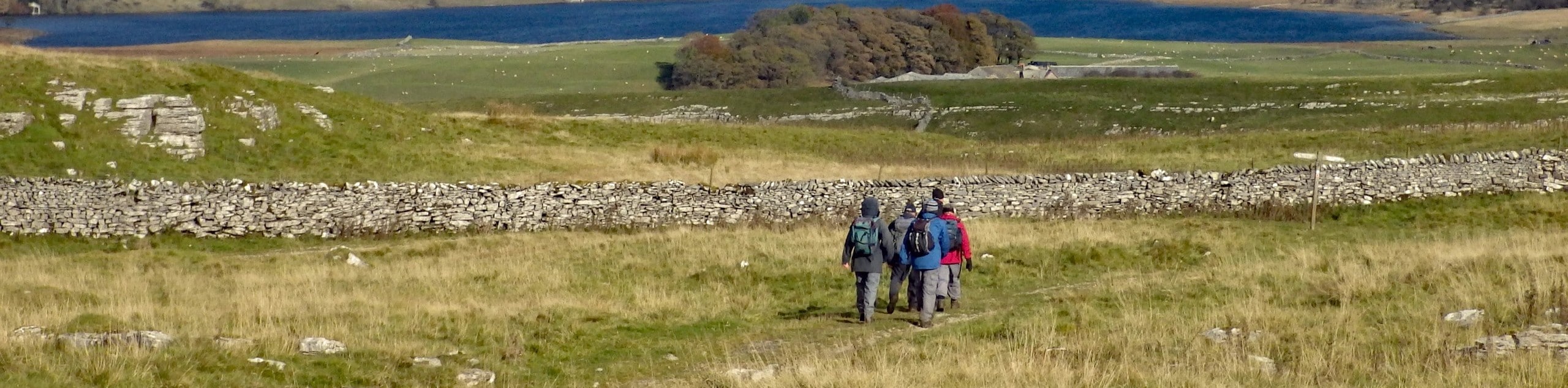
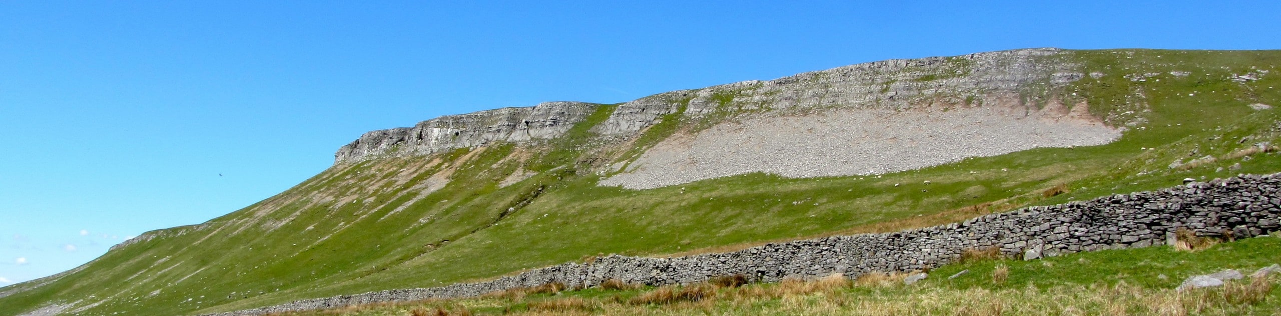
The Malham Tarn and Cove Walk is a spectacular adventure that will take you to several amazing natural highlights within Yorkshire Dales National Park. While out on the trail, you will climb uphill and traverse the moor to reach the shores of Malham Tarn before walking to the top of the imposing horseshoe-shaped limestone formation known as Malham Cove. For the relatively low amount of effort required to complete this walk, the views are exceptional.
Getting there
To reach the trailhead for the Malham Tarn and Cove Walk from Airton, drive north toward Settle Road for 1.1mi and continue straight onto Main Street for another 385ft. Make a right onto Kirkby Brow and follow it for 0.9mi, continuing straight on Chapel Gate for 0.2mi. Turn left here to enter the car park.

About
| Backcountry Campground | No |
| When to do | March-November |
| Pets allowed | Yes - On Leash |
| Family friendly | Older Children only |
| Route Signage | Average |
| Crowd Levels | Moderate |
| Route Type | Lollipop |
Malham Tarn and Cove Walk
Elevation Graph
Weather
Malham Tarn and Cove Walk Description
The walk to Malham Tarn and Cove is truly a remarkable journey that will allow you to experience some of the most scenic areas within the Yorkshire Dales. There is a decent amount of uphill walking along this route, so you should remember to wear sturdy walking boots; however, the paths are well-maintained and are suitable for a range of outdoor enthusiasts from beginners to seasoned veterans.
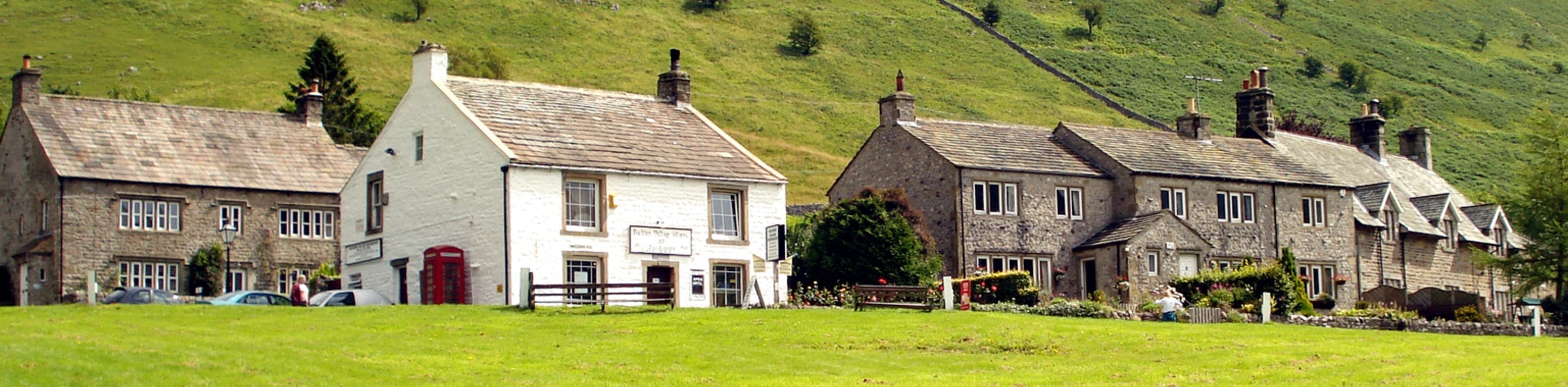
Setting out from the car park in Malham, you will make your way through the charming village streets and head to the northeast, climbing uphill across the rocky and rugged terrain of the moor to reach the shores of Malham Tarn. take some time to appreciate the stunning views across the calm surface of this mountain lake before turning to the south.
Once again traversing the moor, the trail will bring you to the top of Malham Cove, an impressive limestone wall that has eroded into a horseshoe shape. Here, you will enjoy spectacular views across the Yorkshire Dales, including Malham nestled in the valley below. From here, you will work your way downhill to meet up with a road, turning back for an amazing view of the cove as you walk the final leg of the journey into Malham.
Similar hikes to the Malham Tarn and Cove Walk hike
Old Gang Smelt Mill and Reeth High Moor Walk
The Old Gang Smelt Mill and Reeth High Moor Walk is a rough and rugged adventure that will take you…
Hawes and Sedbusk Walk
The Hawes and Sedbusk Walk is a great family-friendly adventure in Yorkshire Dales National Park that will take you through…
Buckden Circular Walk
The Buckden Circular Walk is a lovely adventure in Yorkshire Dales National Park that will provide scenic views overlooking Wharfedale…
Comments