Bainbridge to Hawes Walk via Cam High Road
View Photos
Bainbridge to Hawes Walk via Cam High Road
Difficulty Rating:
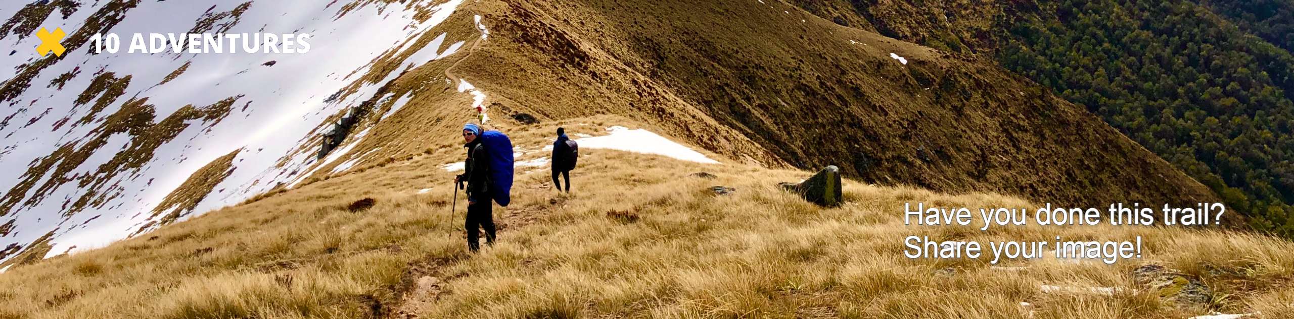
The Bainbridge to Hawes Walk via Cam High Road is a fantastic walk in the Yorkshire Dales that will see you climb uphill for some stunning views of the surrounding landscape. While out on the walk, you will make your way up to the summit of Yorburgh along a quiet road through the moor, before descending the hillside into the market town of Hawes. This is a fairly easy-going route that is suitable for beginner and casual walkers.
Getting there
To reach the trailhead for the Bainbridge to Hawes Walk via Cam High Road from Leyburn, head southwest along Low Wood Lane/A684 for 12.4mi and turn right to arrive at the starting point. You will need to find parking nearby in the village.

About
| Backcountry Campground | No |
| When to do | March-November |
| Pets allowed | Yes - On Leash |
| Family friendly | Older Children only |
| Route Signage | Average |
| Crowd Levels | Low |
| Route Type | One Way |
Bainbridge to Hawes Walk via Cam High Road
Elevation Graph
Weather
Bainbridge to Hawes Walk via Cam High Road Description
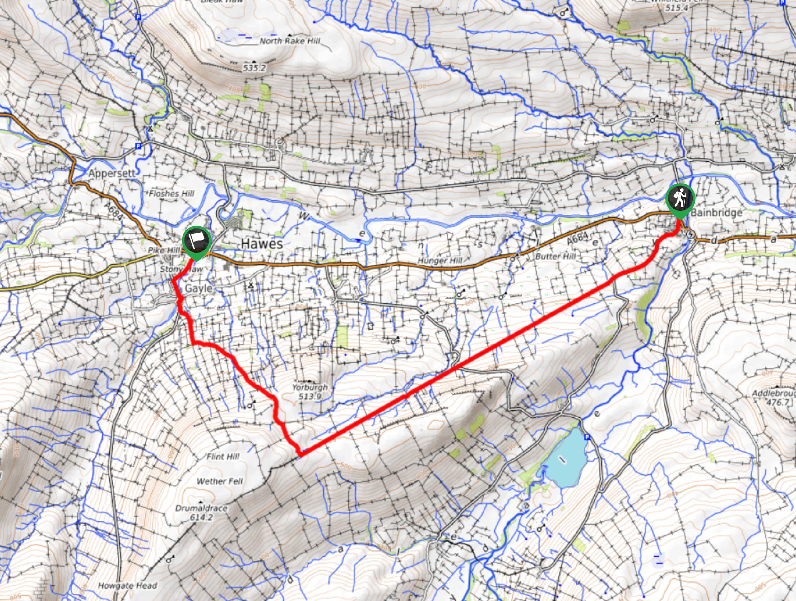
If you are looking for a relatively easy way to gain some elevation for stunning views across Yorkshire Dales National Park, then the Bainbridge to Hawes Walk via Cam High Road is an excellent way to do so. This route gains all of its elevation along a quiet road leading uphill across the moor, meaning that you won’t need to trudge your way uphill through any rugged terrain. However, the downhill portion is a different story, as you will need to navigate the moor on the way to the trail’s end. This is also a one-way trail, so you should plan out the return leg of your journey in advance.
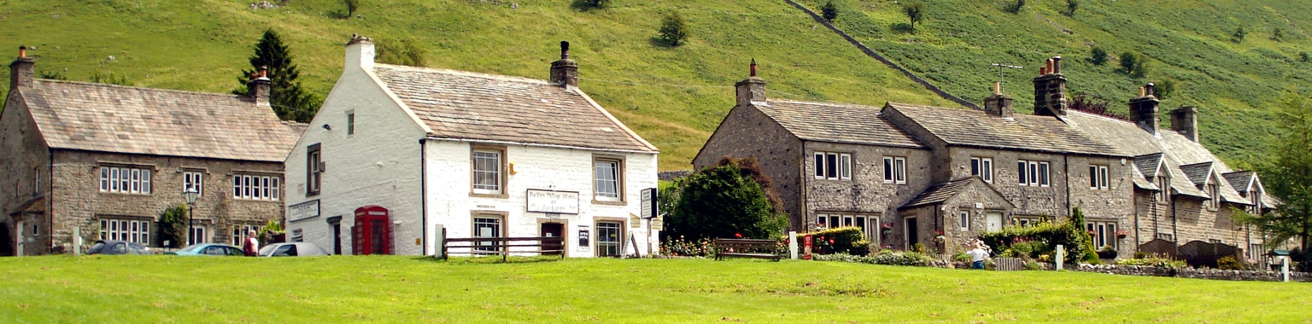
Setting out from the trailhead in Bainbridge, head to the southwest along Cam High Road to begin climbing uphill across the moor. Keep right at the fork and follow the quiet country lane as it works up the hillside to bring you to the top of Yorburgh for some stunning views across the Yorkshire Dales. After taking in the views, make your way to the northwest and descend the steep and rugged terrain of the moor, passing through the charming village of Gayle and crossing over Gayle Beck on the way into the market town of Hawes.
Similar hikes to the Bainbridge to Hawes Walk via Cam High Road hike
Old Gang Smelt Mill and Reeth High Moor Walk
The Old Gang Smelt Mill and Reeth High Moor Walk is a rough and rugged adventure that will take you…
Hawes and Sedbusk Walk
The Hawes and Sedbusk Walk is a great family-friendly adventure in Yorkshire Dales National Park that will take you through…
Buckden Circular Walk
The Buckden Circular Walk is a lovely adventure in Yorkshire Dales National Park that will provide scenic views overlooking Wharfedale…
Comments