Gunnerside Gill Loop
View Photos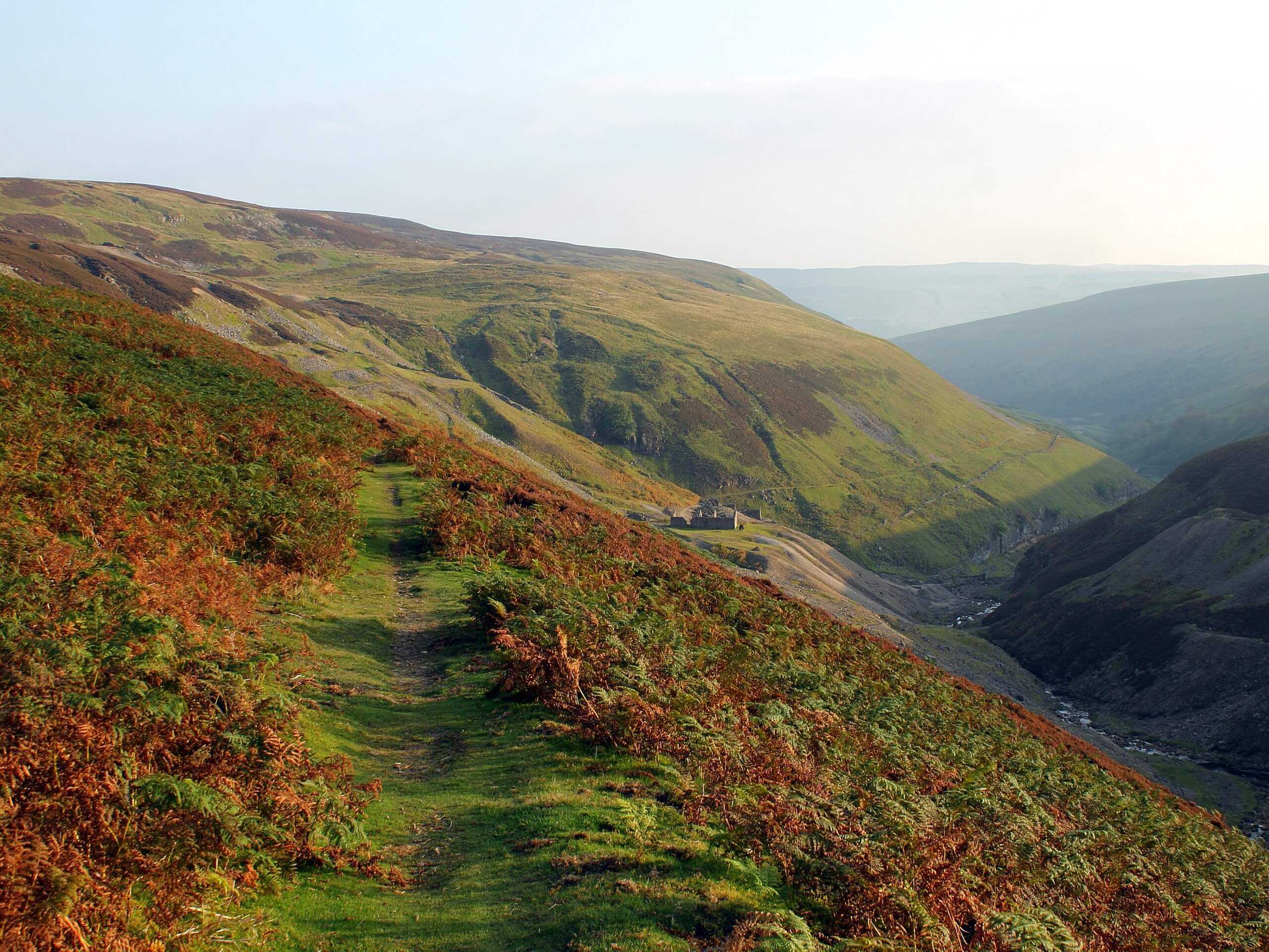
Gunnerside Gill Loop
Difficulty Rating:
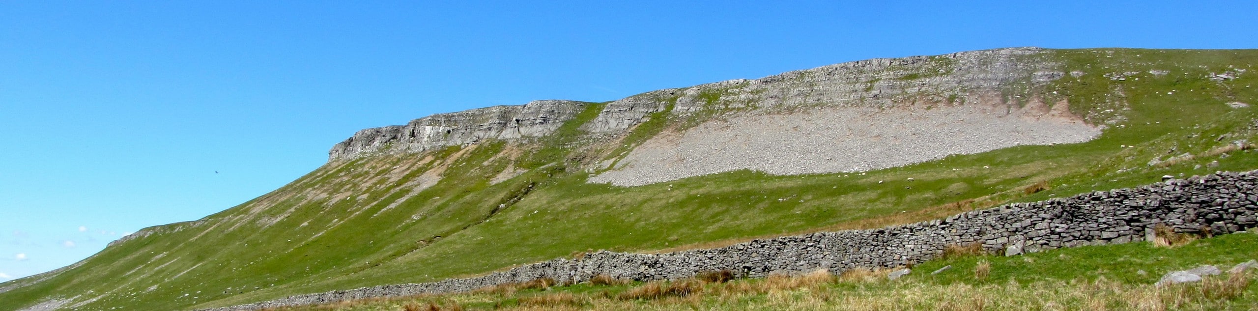
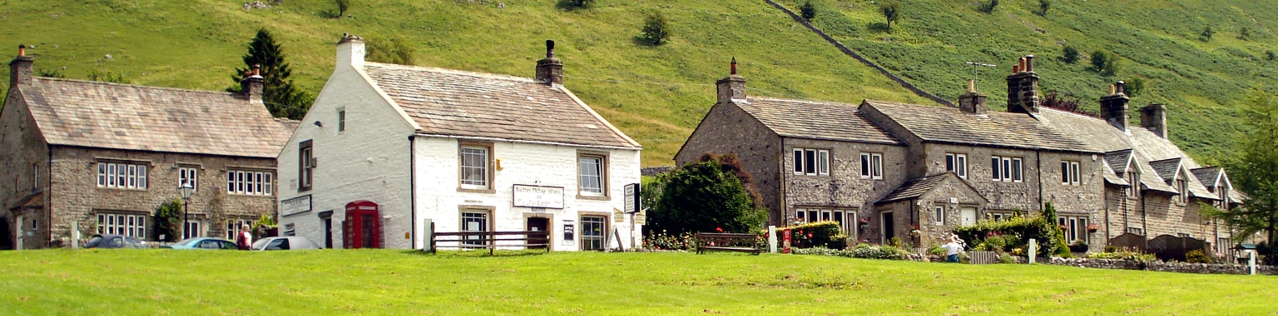
The Gunnerside Gill Loop is a fantastic multi-use trail that will give you a true appreciation for the moors and dales that make up the landscape of Yorkshire Dales National Park. While out walking the route, you will climb uphill across the rugged terrain of the moor for some sweeping views of the surrounding area before descending the steep hillside to walk through a charming valley alongside Gunnerside Gill. The route may be a bit on the longer side, but it offers an amazing chance to take in some stunning views that you will find nowhere else.
Getting there
To reach the trailhead for the Gunnerside Gill Loop from the village of Reeth, drive west on Silver Street for 1.4mi and turn right onto High Lane, following it for 0.1mi. Continue straight onto Morley Gate and follow it for 1.8mi to find the car park on the right.

About
| Backcountry Campground | No |
| When to do | March-November |
| Pets allowed | Yes - On Leash |
| Family friendly | Older Children only |
| Route Signage | Average |
| Crowd Levels | Low |
| Route Type | Circuit |
Gunnerside Gill Loop
Elevation Graph
Weather
Gunnerside Gill Loop Description
A popular trail with both walkers and mountain bikers, the Gunnerside Gill Loop offers some really great examples of the high and low terrain that can be found with the Yorkshire Dales. From peaceful, vibrant green valleys to barren stretches of moor, this route will give you a real taste of what makes this area so unique.
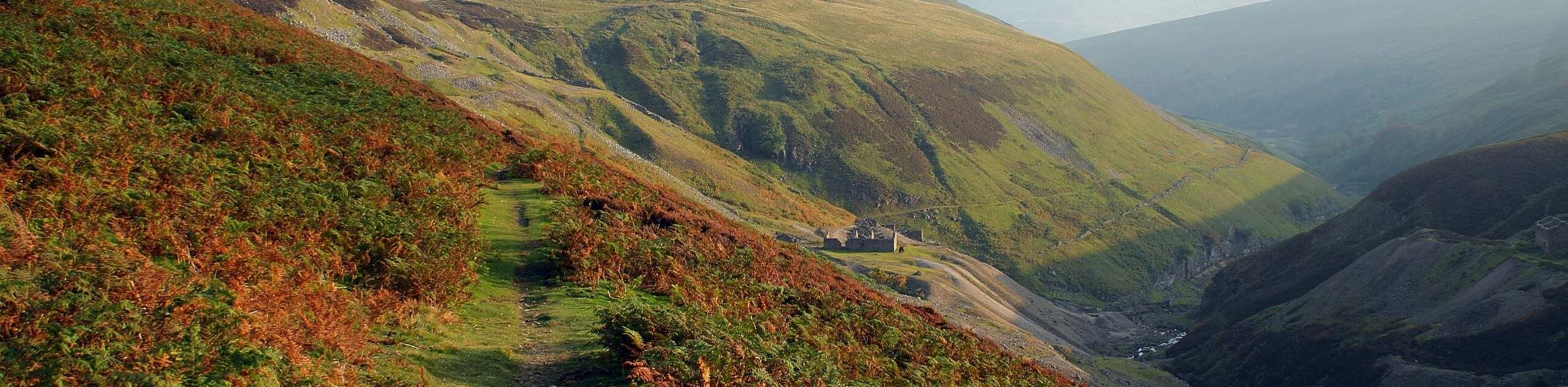
Setting out from the car park, you will make your way to the northwest along the edge of Hard Level Gill, passing in between the dramatic hills that characterize the moorland terrain here before climbing uphill to the west. Enjoy the views of the surrounding area from this elevated position before descending the hillside into the tranquil valley.
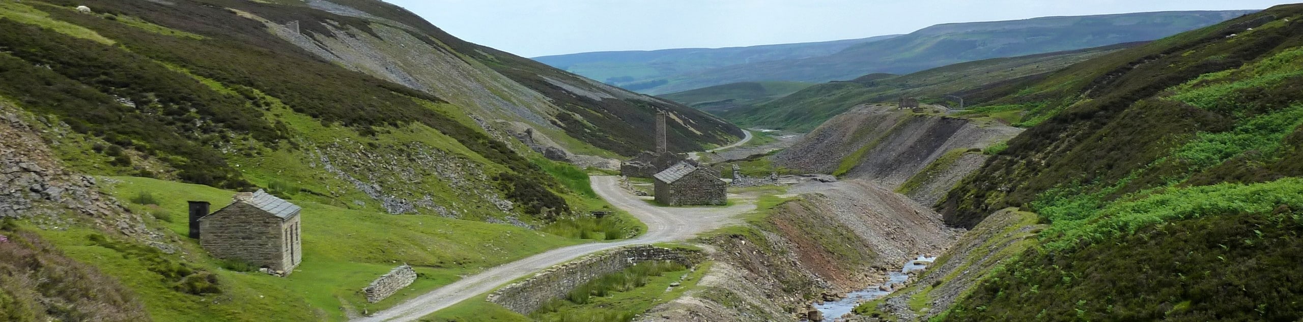
Once you have passed by the old Bunton Mine buildings and have met up with the banks of Gunnerside Gill, follow them to the south before climbing partially up the hillside to traverse the slopes to the southeast. This somewhat elevated position will produce some nice views across the dale, as you eventually make your way down towards the village of Gunnerside. From here, you will head to the east and climb back uphill to meet up with the road, following it back to the trailhead where you began.
Similar hikes to the Gunnerside Gill Loop hike
Old Gang Smelt Mill and Reeth High Moor Walk
The Old Gang Smelt Mill and Reeth High Moor Walk is a rough and rugged adventure that will take you…
Hawes and Sedbusk Walk
The Hawes and Sedbusk Walk is a great family-friendly adventure in Yorkshire Dales National Park that will take you through…
Buckden Circular Walk
The Buckden Circular Walk is a lovely adventure in Yorkshire Dales National Park that will provide scenic views overlooking Wharfedale…
Comments