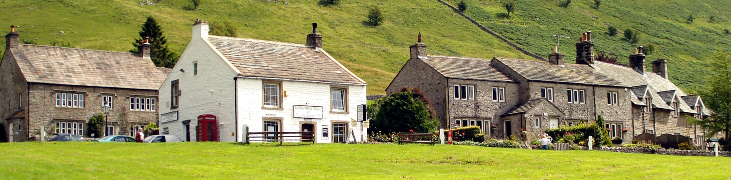
Dent and the Dales Way
View Photos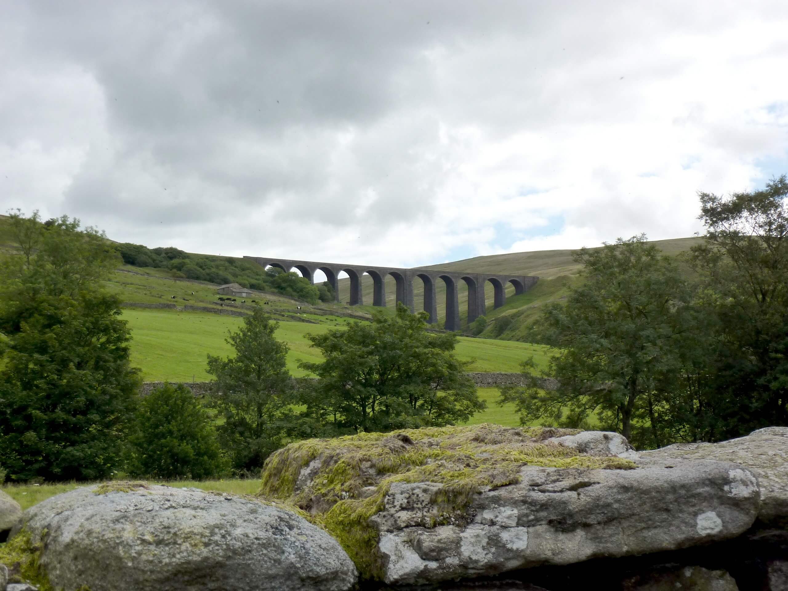
Dent and the Dales Way
Difficulty Rating:
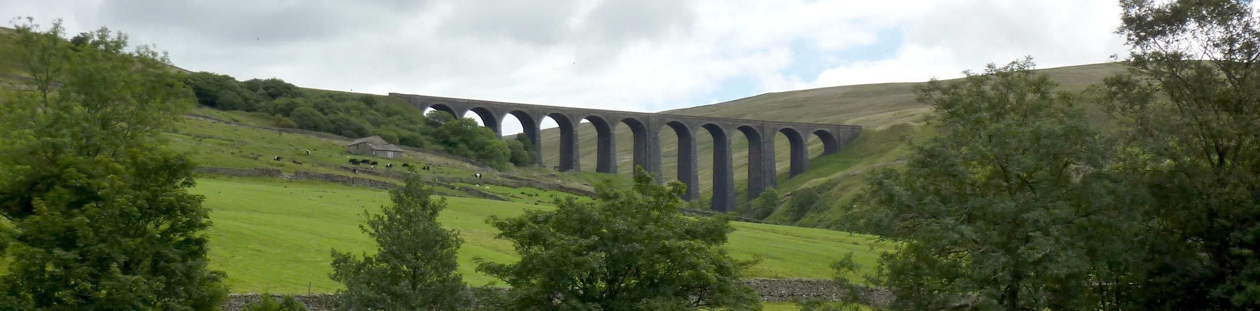
The Dent and Dales Way is a wonderful walking route in Yorkshire Dales National Park that climbs up the hillside for beautiful views overlooking the valley. Along the trail, you will make your way up a steep ascent to take in the views of Dentdale and the surrounding mountains before traversing the hillside on the riverside return into the village. This is a varied trail with beautiful views, making it a great option for walkers of all types.
Getting there
To get to the trailhead for the Dent and the Dales Way from Sedbergh, head south on Loftus Hill for 0.7mi and make a slight right to continue on for 0.5mi. Keep straight on Moser Hill Brow for 3.2mi and continue on Hall Road for 410ft before making a right. After 0.6mi, continue straight onto Laning for 0.2mi to find the car park on the left.

About
| Backcountry Campground | No |
| When to do | March-November |
| Pets allowed | Yes - On Leash |
| Family friendly | Older Children only |
| Route Signage | Average |
| Crowd Levels | Moderate |
| Route Type | Circuit |
Dent and the Dales Way
Elevation Graph
Weather
Dent and the Dales Way Description
If you are after wonderfully scenic valley views that will only require a small amount of effort to enjoy, then the Dent and the Dales Way is a great option for you to get out and enjoy the natural beauty of the Yorkshire Dales. In terms of challenging terrain, there is only one fairly steep ascent near the beginning of the route, making the rest a downhill breeze where you can simply enjoy the views. The route is also a bit exposed, so be sure to pack an extra layer in the event of inclement weather.
Setting out from the trailhead in Dent, you will head to the southwest and immediately begin climbing up the steep slopes of Great Coum, walking alongside Flinter Gill as the terrain transitions from open countryside to rugged moor. Enjoy the beautiful views across Dentdale before meeting up with Occupation Road. Follow this west to traverse the hillside, eventually heading downhill towards Barbondale Road.
Make your way to the northwest here to skirt around the lower slopes of Combe Top, enjoying some more amazing valley views as you head downhill to eventually arrive at the banks of the River Dee. Once there, turn to the southeast and follow along the river as it cuts across the lush valley floor to bring you back to the trailhead in the village of Dent.
Similar hikes to the Dent and the Dales Way hike
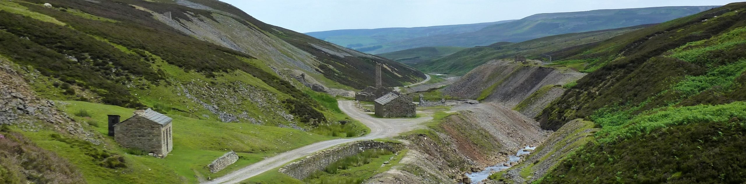
Old Gang Smelt Mill and Reeth High Moor Walk
The Old Gang Smelt Mill and Reeth High Moor Walk is a rough and rugged adventure that will take you…
Hawes and Sedbusk Walk
The Hawes and Sedbusk Walk is a great family-friendly adventure in Yorkshire Dales National Park that will take you through…
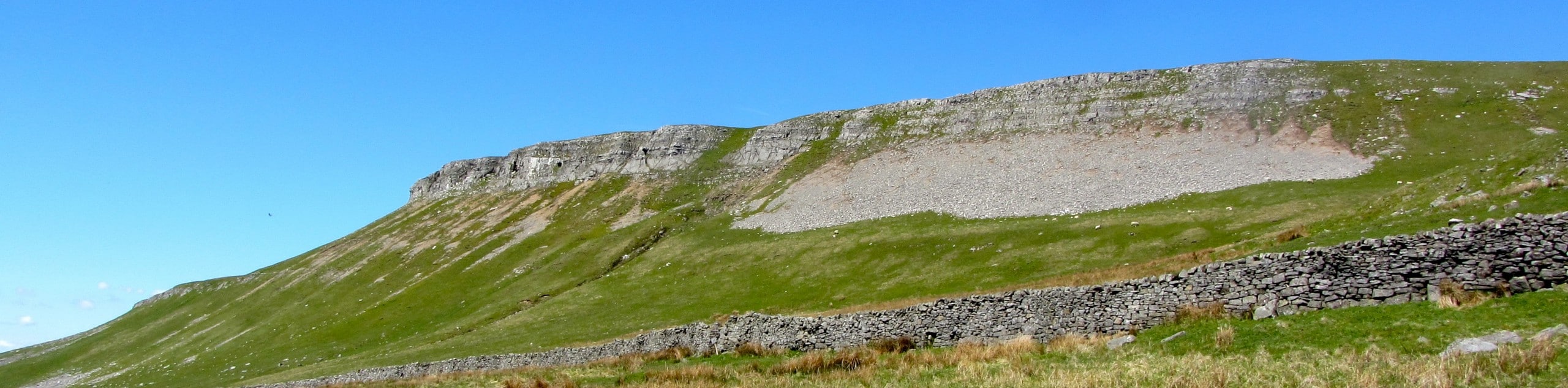
Buckden Circular Walk
The Buckden Circular Walk is a lovely adventure in Yorkshire Dales National Park that will provide scenic views overlooking Wharfedale…
Comments