Cautley Spout, Howgill Fells, and the Calf Walk
View Photos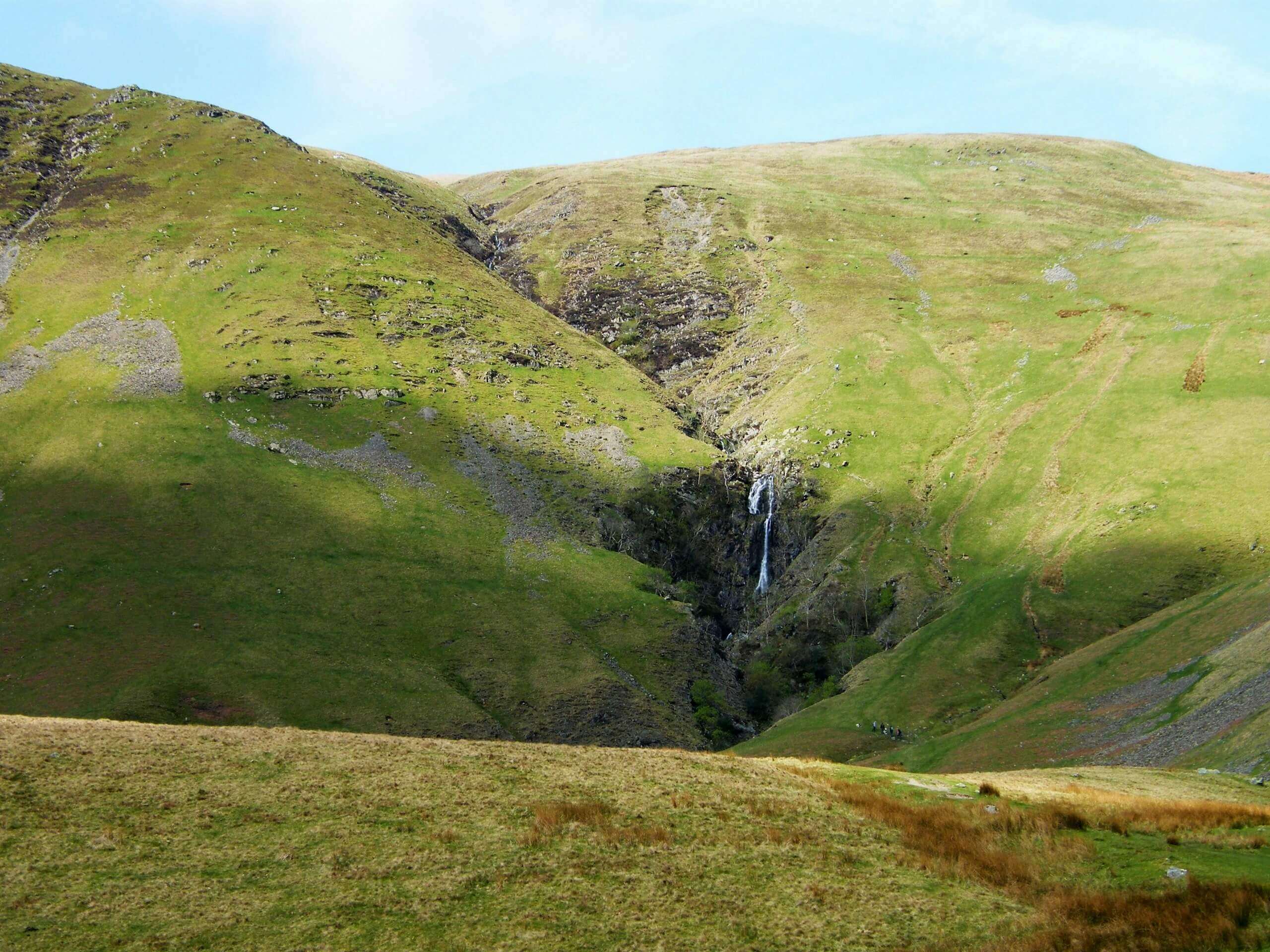
Cautley Spout, Howgill Fells, and the Calf Walk
Difficulty Rating:
The Cautley Spout, Howgill Fells, and the Calf Walk is a rugged, yet stunningly beautiful adventure on the northern edge of Yorkshire Dales National Park that offers amazing views of the surrounding landscape. While out on the trail, you will climb uphill across the barren and undulating terrain of the moor, passing by waterfalls and traversing hilltops as you loop around the landscape. This journey can be challenging at times, but it is certainly worth it to experience the natural beauty of the dales.
Getting there
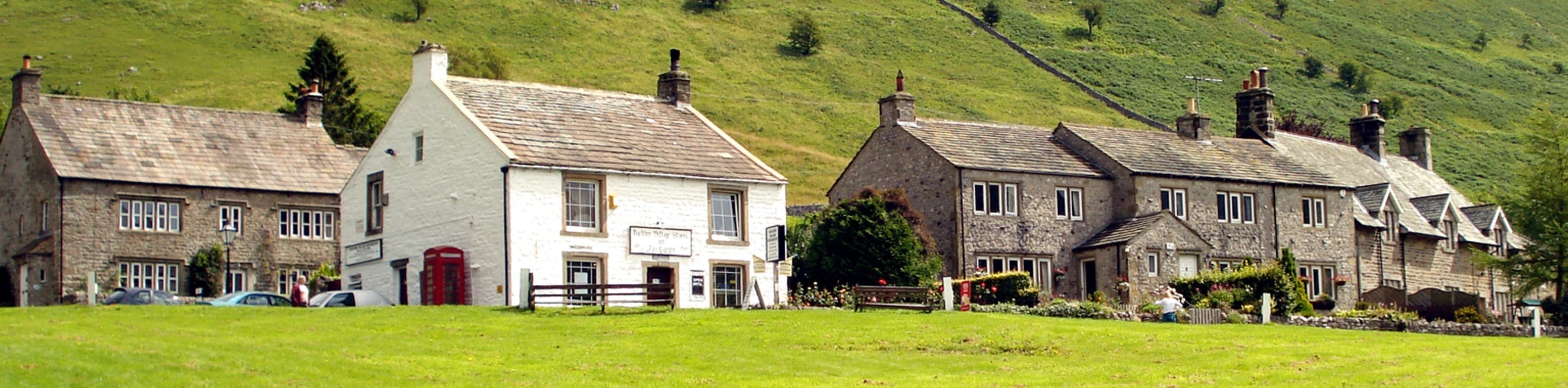
To get to the trailhead for the Cautley Spout, Howgill Fells, and the Calf Walk from Sedbergh, drive northeast on Back Lane/A684 for 0.3mi and keep straight onto Long Lane/A683. Follow this for 4.1mi to find the car park.

About
| Backcountry Campground | No |
| When to do | March-November |
| Pets allowed | Yes - On Leash |
| Family friendly | No |
| Route Signage | Average |
| Crowd Levels | Moderate |
| Route Type | Lollipop |
Cautley Spout, Howgill Fells, and the Calf Walk
Elevation Graph
Weather
Cautley Spout, Howgill Fells, and the Calf Walk Description
If you don’t mind a bit of a challenge that includes trudging your way uphill across several rugged fells for some beautifully scenic views, then the Cautley Spout, Howgill Fells, and the Calf Walk will be a fun adventure to get you out exploring the Yorkshire Dales.
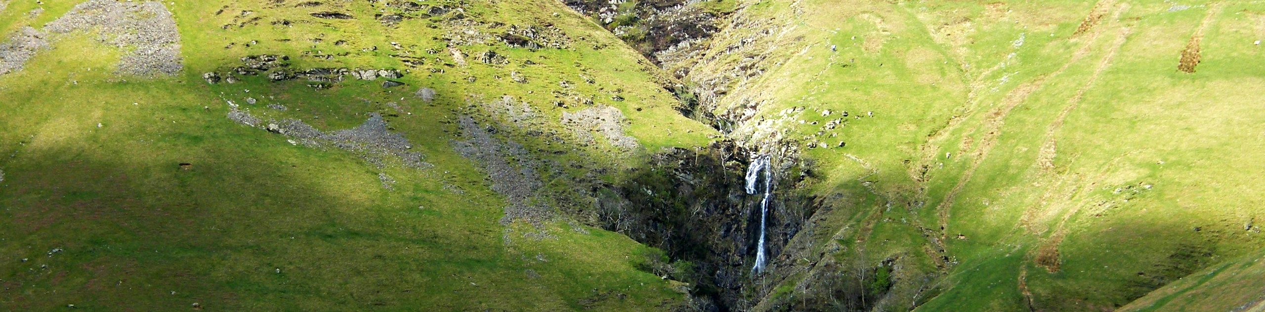
Setting out from the car park, you will follow the River Rawthey for a short distance to the west, before turning to the northwest to climb up the steep hillside on the way to Cautley Spout. Take some time to appreciate the beautiful sight of the waterfall before heading left at the fork in the path to continue your uphill climb.
Traversing the undulating terrain of the moor to the southwest, you will follow along the banks of Force Gill Beck, before turning to the northwest on the climb up to the Calf. From here, you will work around a small body of water and continue around the loop portion of the trail to reach the northeastern corner of the route. Here, you will need to navigate the moor on the way downhill to meet up with the main path that initially led you uphill. Follow this back to the southeast to return to the trailhead.
Similar hikes to the Cautley Spout, Howgill Fells, and the Calf Walk hike
Old Gang Smelt Mill and Reeth High Moor Walk
The Old Gang Smelt Mill and Reeth High Moor Walk is a rough and rugged adventure that will take you…
Hawes and Sedbusk Walk
The Hawes and Sedbusk Walk is a great family-friendly adventure in Yorkshire Dales National Park that will take you through…
Buckden Circular Walk
The Buckden Circular Walk is a lovely adventure in Yorkshire Dales National Park that will provide scenic views overlooking Wharfedale…
Comments