
Yoho Valley Circuit hike
View Photos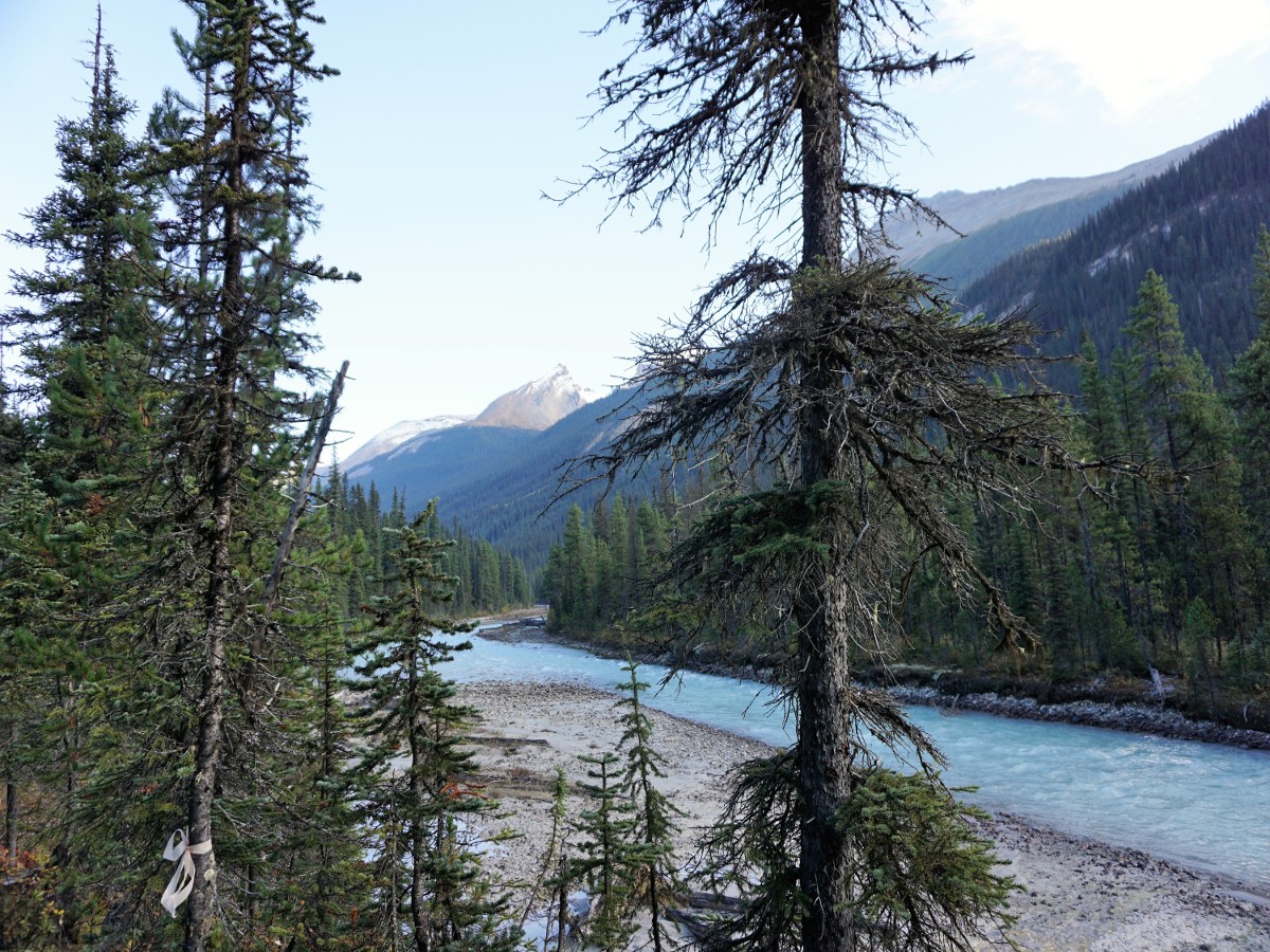
Yoho Valley Circuit hike
Difficulty Rating:
Hiking through the Yoho and Little Yoho valleys is spectacular! This route takes you along a circuit that takes in some of the best hiking in Canada. Hike to Twin Falls then up and over Whaleback before descending to the ACC’s Stanley Mitchell Hut. The trail leads up from there and along the Iceline hike. Wow!
Getting there
Drive west from Banff or Lake Louise along the Trans-Canada Highway. Take the exit north towards Takkakaw Falls. If you reach Field BC, you have gone too far! Go for nearly 8.7mi up the road until you see the parking area. Trailers are not allowed on this road.

About
| When to do | July through September |
| Backcountry Campsites | Yes |
| Toilets | Yes, at trailhead |
| Family friendly | No |
| Route Signage | Average |
| Crowd Levels | Low |
| Route Type | Circuit |
Yoho Valley Circuit
Elevation Graph
Weather
Route Description for Yoho Valley Circuit
This is the type of hike you’ll want to get an early start for! It’s a long day, with a lot of uphill.
Before starting this hike, you’ll probably be distracted by Takakkaw Falls. These waters fall 991ft at Takakkaw Falls, and it is beautiful to look at, some might even say distracting!
From the parking lot at the end of the road, head north, walking through the Takakkaw Falls Campground. You will go through open areas and forest, along a wide path. You will occasionally come down towards the Yoho River, which gives wonderful views.
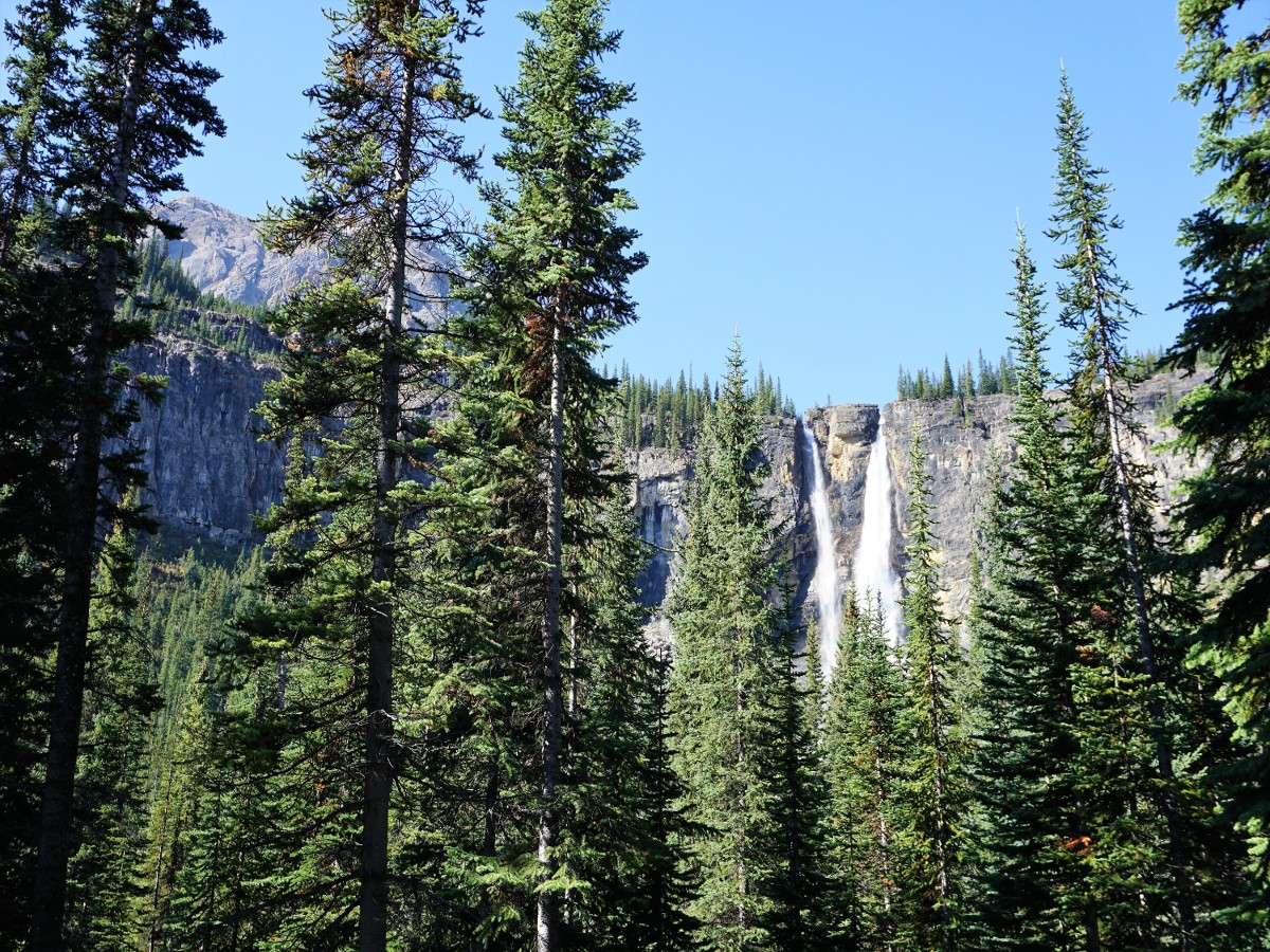
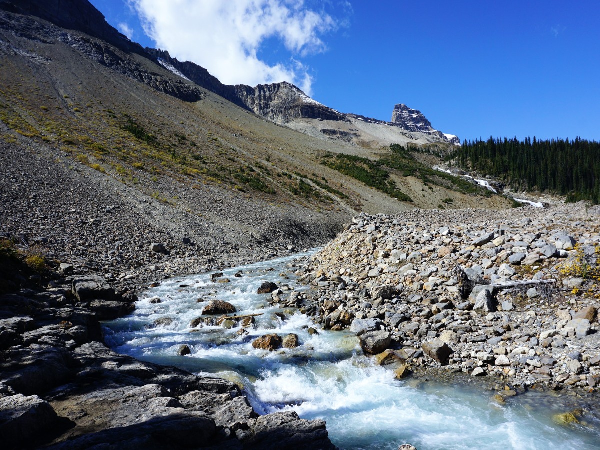
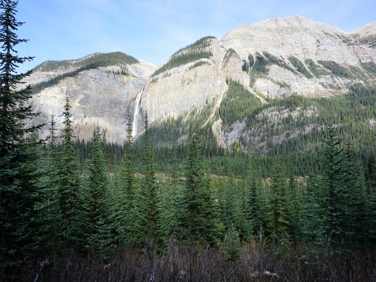
After 2.7mi you reach the Laughing Falls Backcountry Campground, here the path splits, you can go either way, however we prefer to go counter-clockwise (right) for this route. Take the right path as it goes along Twin Falls Creek. In 1.4mi you reach another backcountry campground, this one Twin Falls Campground. From here it’s another 1.0mi uphill to Twin Falls Chalet. Stop here and enjoy a break. Talk with Fran Drummond, the owner, who can relate great stories of the history of the area.
Head uphill on the Whaleback trail and check out the Twin Falls. Be very careful when looking at Twin Falls. Accidents here are common, with fatalities occurring, often from people taking photos or getting close to the edge. We like to roam around and look at different viewpoints of the falls, often taking a longer break here.
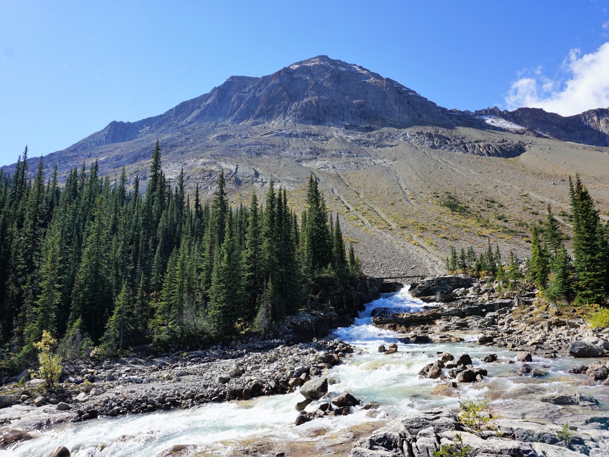
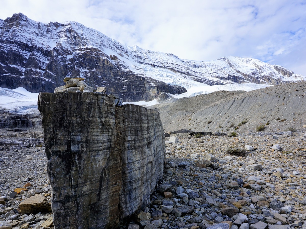
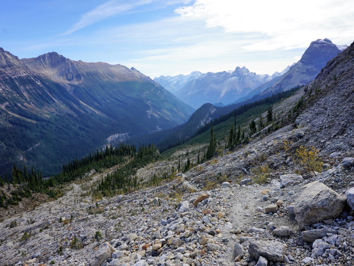
Go above the falls and follow the Whaleback trail, eventually as it crosses Twin Falls Creek. You are now on the edge of the forest, coming out into the Alpine from time to time. We love the views here, especially the stunning colours. Continue hiking over Whaleback, for us this is the best part of the walk. Eventually you reach a viewpoint. From here the trail heads steadily downhill. This switchback can be slippery in rain and is steep in places.
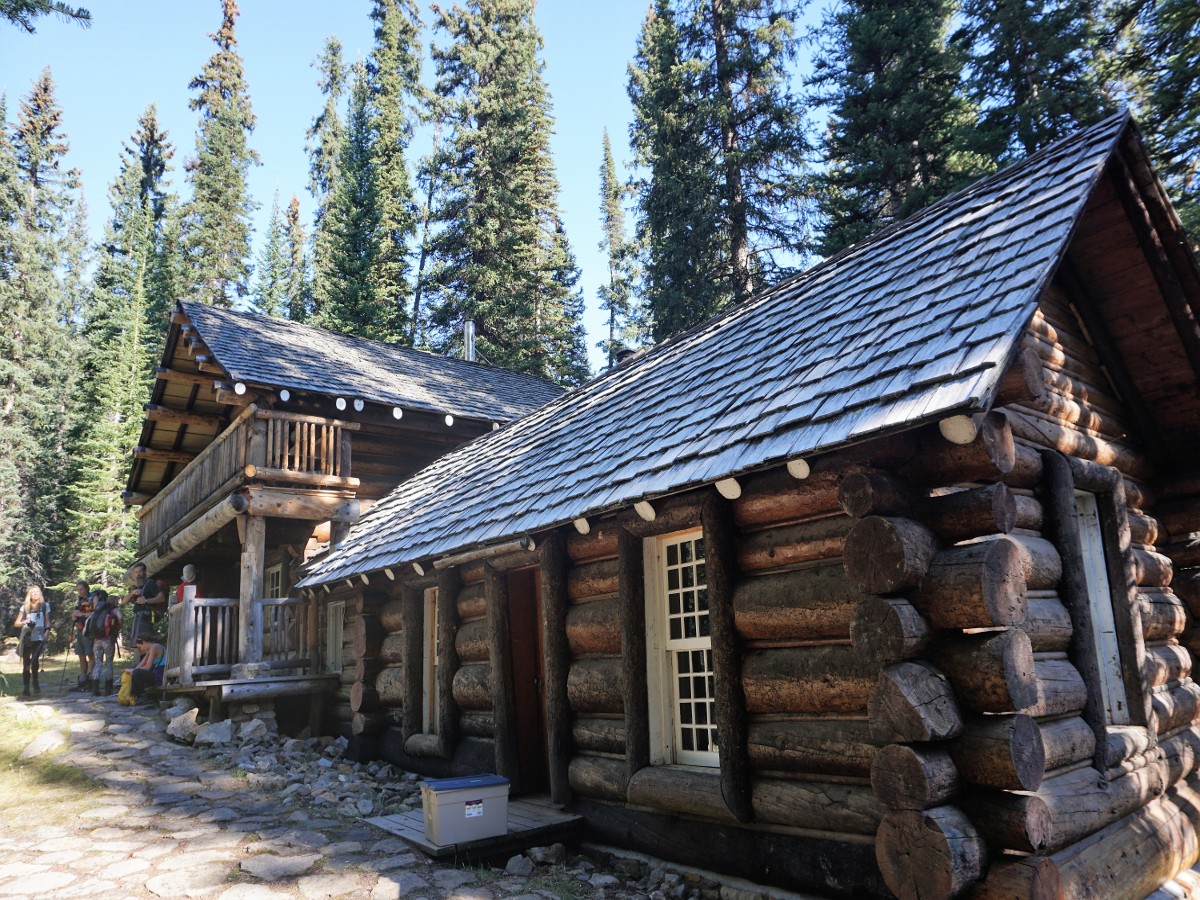
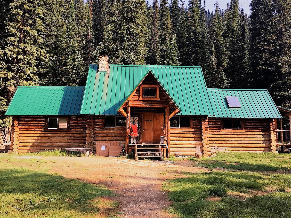
As you descend you come to an intersection with the Iceline Trail. You’ll get on the Iceline Trail, just not yet. Instead head right (west) up towards the ACC Stanley Mitchell Hut. The route will be above the Little Yoho River and in the forest. Coming to a clearing you will see the beautiful Stanley Mitchell Hut. The Stanley Mitchell Hut is an Alpine Club of Canada log cabin. This is a charming base if you want to make this an overnight trip.
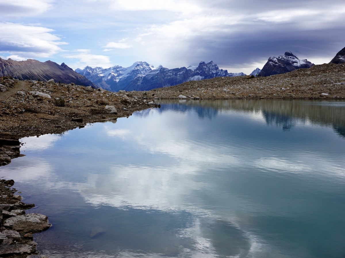
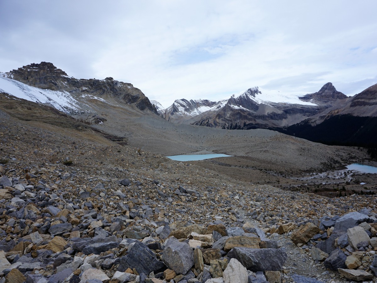
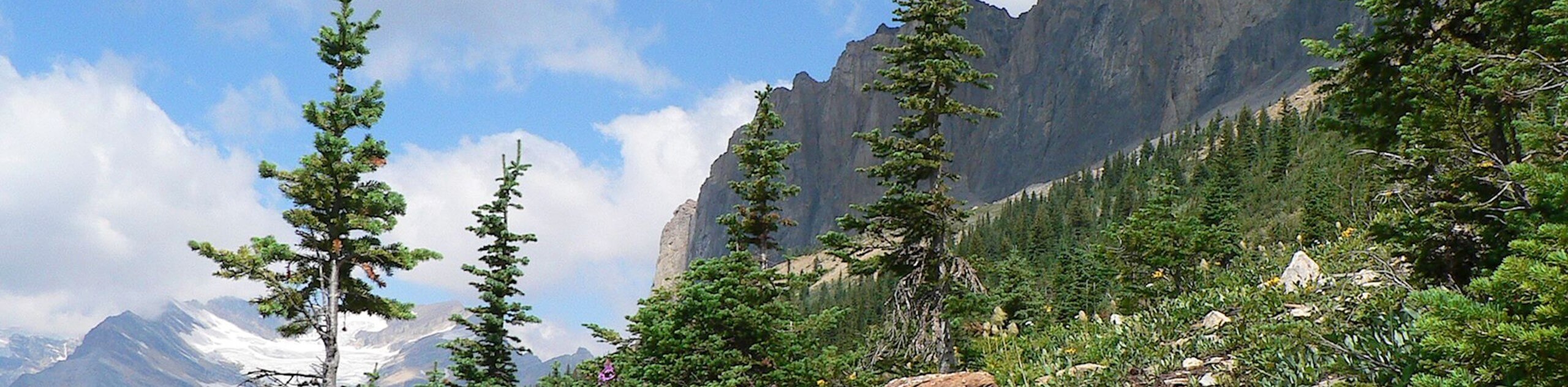
From the Stanley Mitchell Hut, head south, with The Secretary Treasurer looming overhead. You are now hiking on a well-maintained trail that gains about 656ft as it ascends above tree-line and onto the Iceline Trail. The views once you are above tree-line are spectacular. Soon the trail comes to some mountain lakes. These beautiful lakes make for incredible photos.
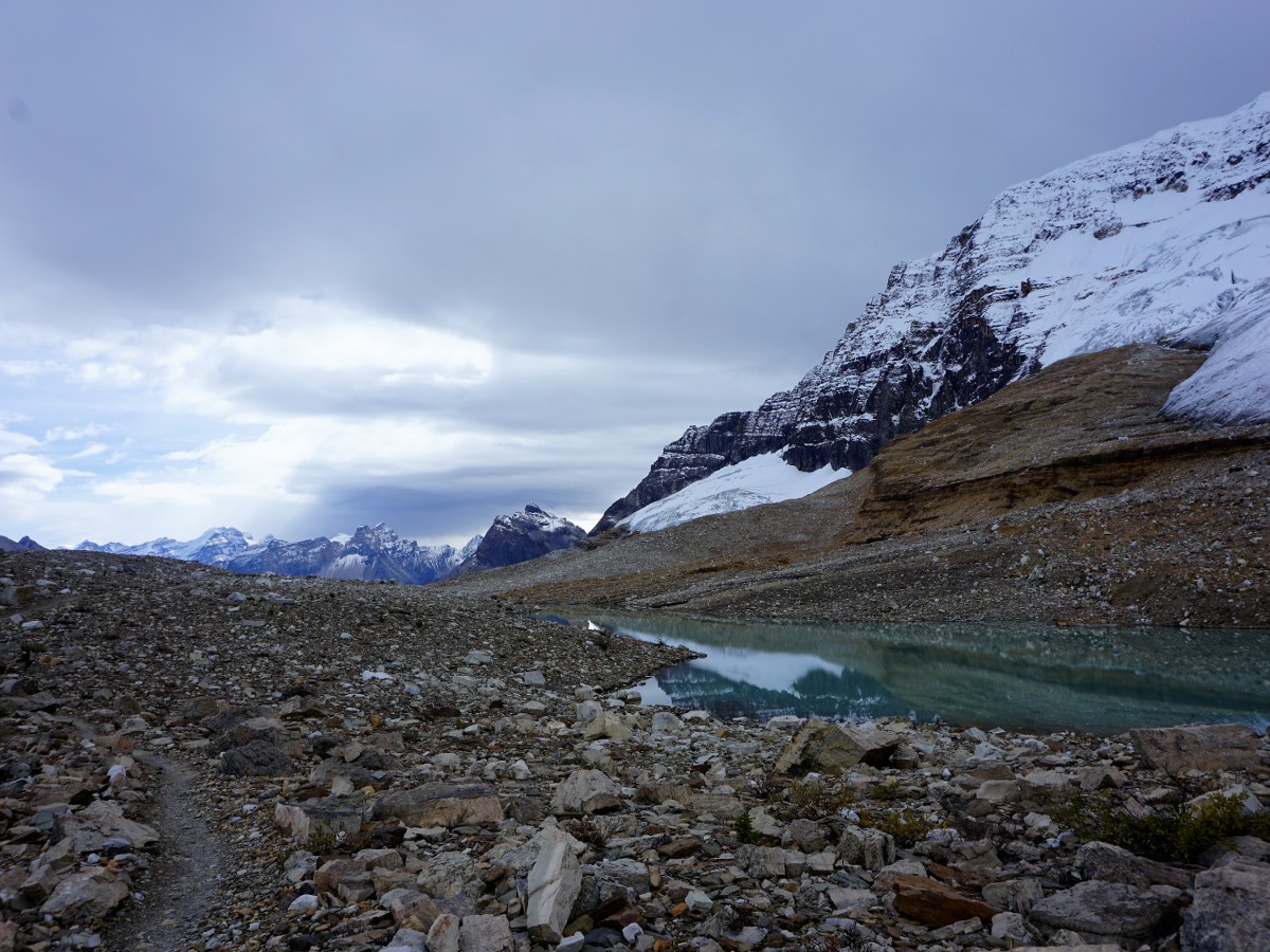
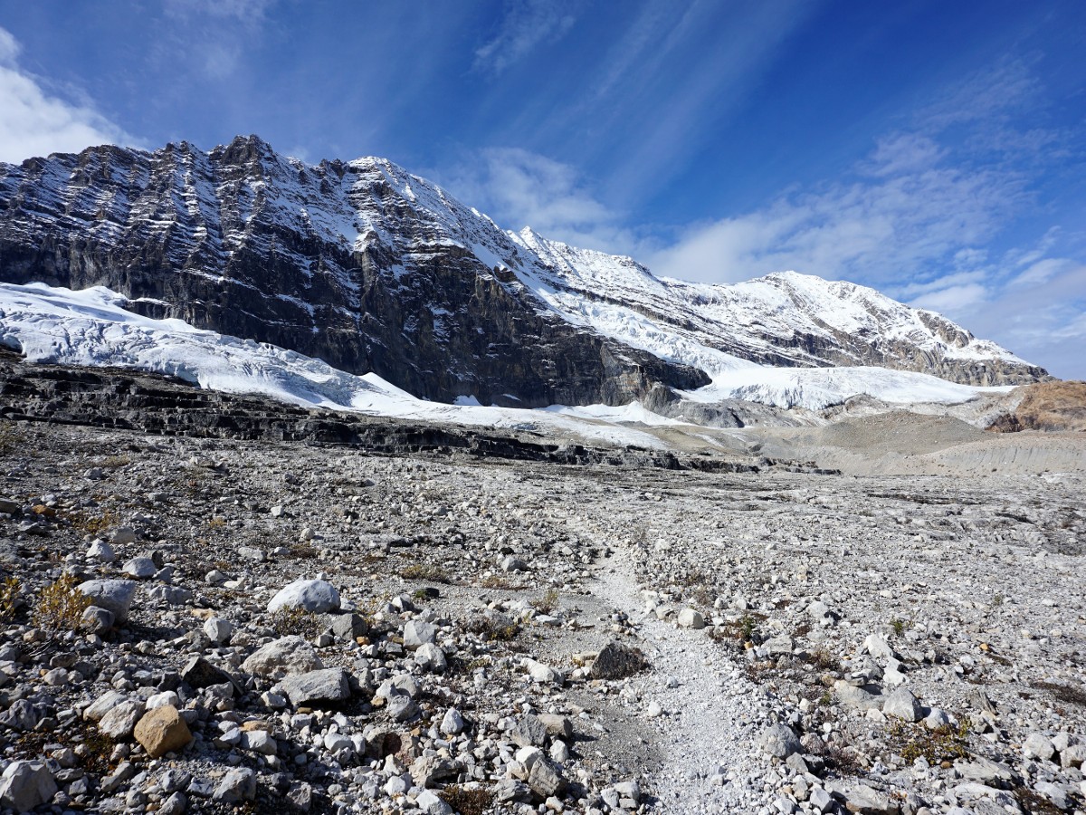
Follow the Iceline trail across the glacial rock, enjoying stunning views in all directions. Don’t forget to turn around, as some of the best views are to the North. Farther along, you can make an optional ascent to the high-point of this trail which is in-between the 1st and 2nd lake.
As you come to the third lake, you will notice a trail going down to the left. This is the Celeste Lake Connector. If there is bad weather, especially lightening, then you can go down here, however we prefer to stay up high on the Iceline Trail with the stunning views.
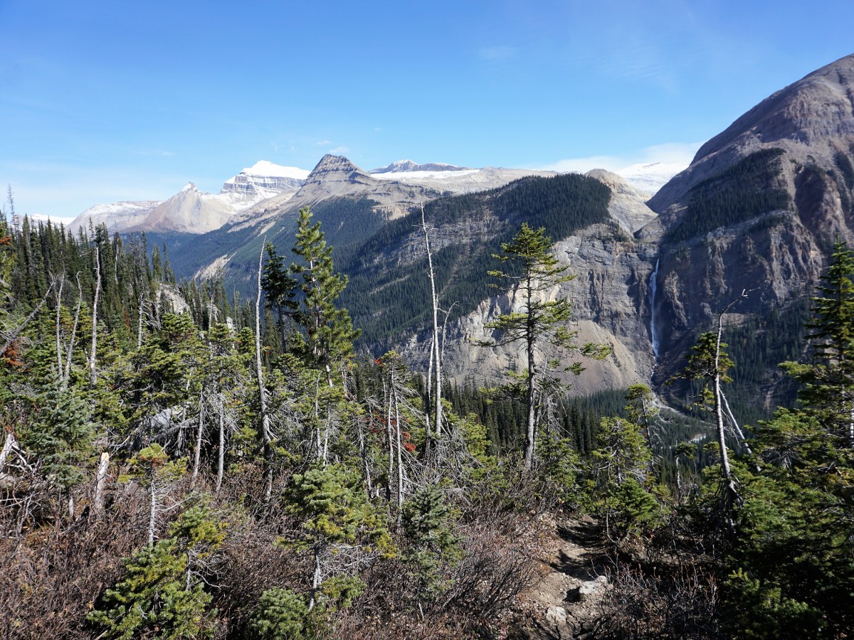
Finally, after a wonderful 4.3mi+ hike above tree line and 984ft of descent from the high-point on the Iceline trail, the trail splits, with the upper (right-hand) trail heading towards Yoho Lake, while the trail you want to take being the left-hand trail, which continues the descent, soon entering the trees where it steeply descends with a number of switchbacks.
You come out of the trees and reach a road. To your right is the HI-Yoho Whiskey Jack Hostel, a good budget accommodation if you want to spend more time exploring the valley. From here you can either turn left along the road and head back to your car or take the more scenic route that crosses the road and goes through the trees before coming out along the Yoho River. The more scenic route affords some wonderful views!
Insider Hints
Consider breaking this trip up, either with a stay at ACC Stanley Mitchell Hut or Twin Falls Chalet.
The road to the start of this hike is not suitable for trailers, and driving with trailers is illegal. This is because there are some narrow switchbacks that can be hard for large cars to navigate.
This is a big day, make sure you’re fully prepared with sufficient food, water (or water treatment) a first-aid kit and a headlamp (in case you need to come down in the dark).
Consider a stay at Cathedral Mountain Lodge, which is at the base of the Yoho Valley Road. This underappreciated gem is a great place to stay if you want an early start for this hike.

Similar hikes to the Yoho Valley Circuit hike
Burgess Shale Hike
The Burgess Shale Hike is an amazing experience that will take you uphill along the slopes of Wapta Mountain for…
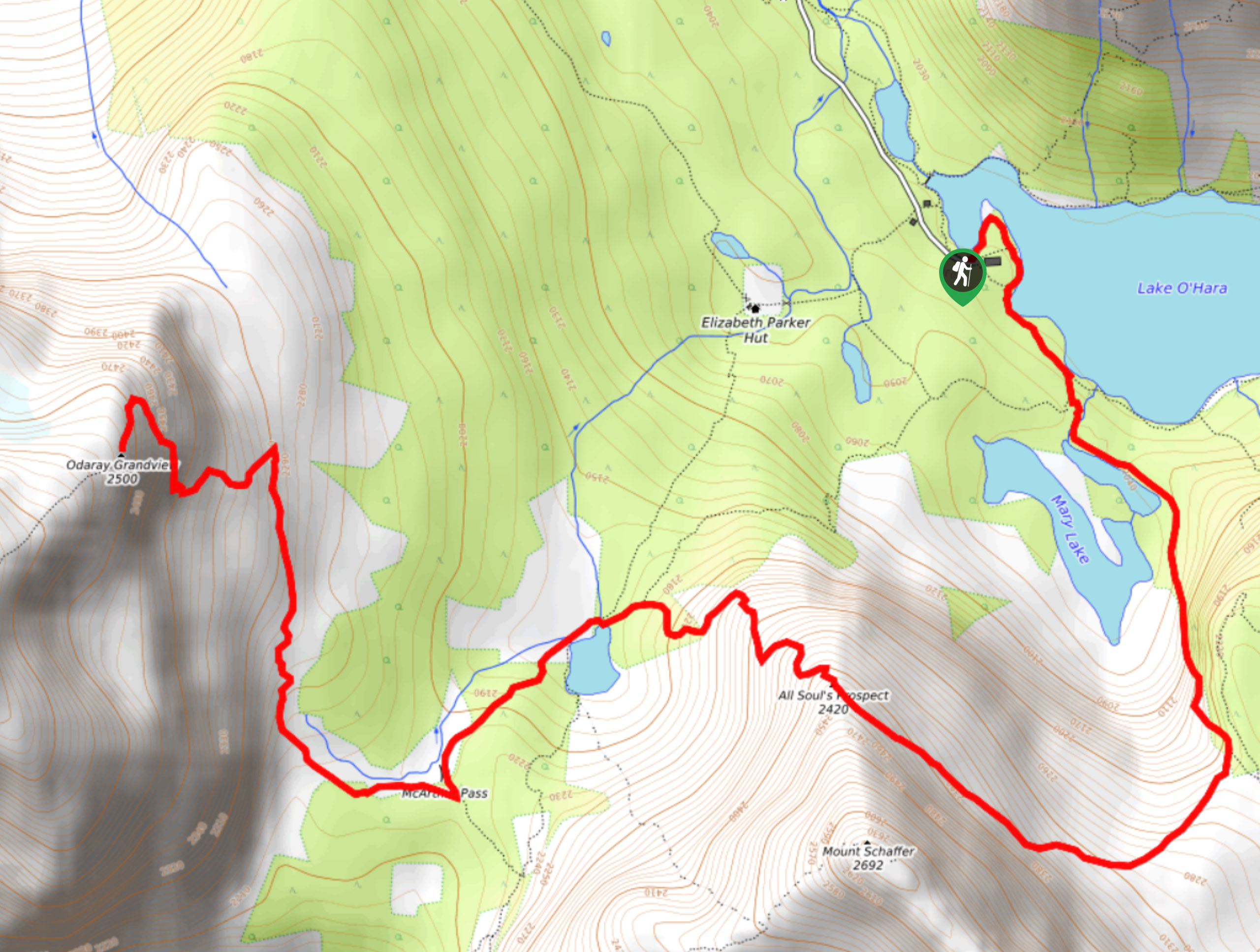
Schaffer Lake and McArthur Pass
The Schaffer Lake and McArthur Pass Trail is a challenging adventure in Yoho National Park that will take you uphill…
Mount Stephen Quarry Hike
The Mount Stephen Quarry Hike is a fantastic adventure filled with stunning views of Yoho National Park and the chance…
isaacanderson 4 years ago
It was very challenging but well worth the exertion.
AnnSue 4 years ago
We surely had a long hike, and we got exhausted, but the views are incomparable! The best reward you can only get for trying so hard!
Aleysha C. 4 years ago
Great Hike! You will see great views of Takakkaw Falls and the Daly Glacier to the East and the Emerald Glacier
David L. 4 years ago
takes a lot of effort to make it up there but the views along the way and at the destination are quite stunning! it's ok to stop and rest once you're tired.it will help a lot.
WendyMag. 4 years ago
One of the spectacular waterfalls ever. Other falls along trail nice too, but the reward is Twin Falls.
Meighan 4 years ago
One of the most wonderful hikes I’ve done. Lakes and waterfalls. It doesn’t get much better than this.
Kenneth D. 4 years ago
Awesome hike! Strenuous trails and not very busy! Better prepare physically, if you plan to do this hike. The view from the top is totally worth it all!
Suzane L. 4 years ago
Ascending to the top was pretty challenging because of the steep inclines. One of the best things about this hike is that you'll get to see an incredible view of Takakkaw Falls.
Jude L. 4 years ago
The views were not questionable, absolutely beautiful! However, It was a long and arduous hike! My back and knees were aching after 11 hours of hike.
Jessica G. 4 years ago
It's harder than what I've expected, but the view at the top made it worth it. Hiking along the Iceline is pretty cool!