Burgess Shale Hike
View Photos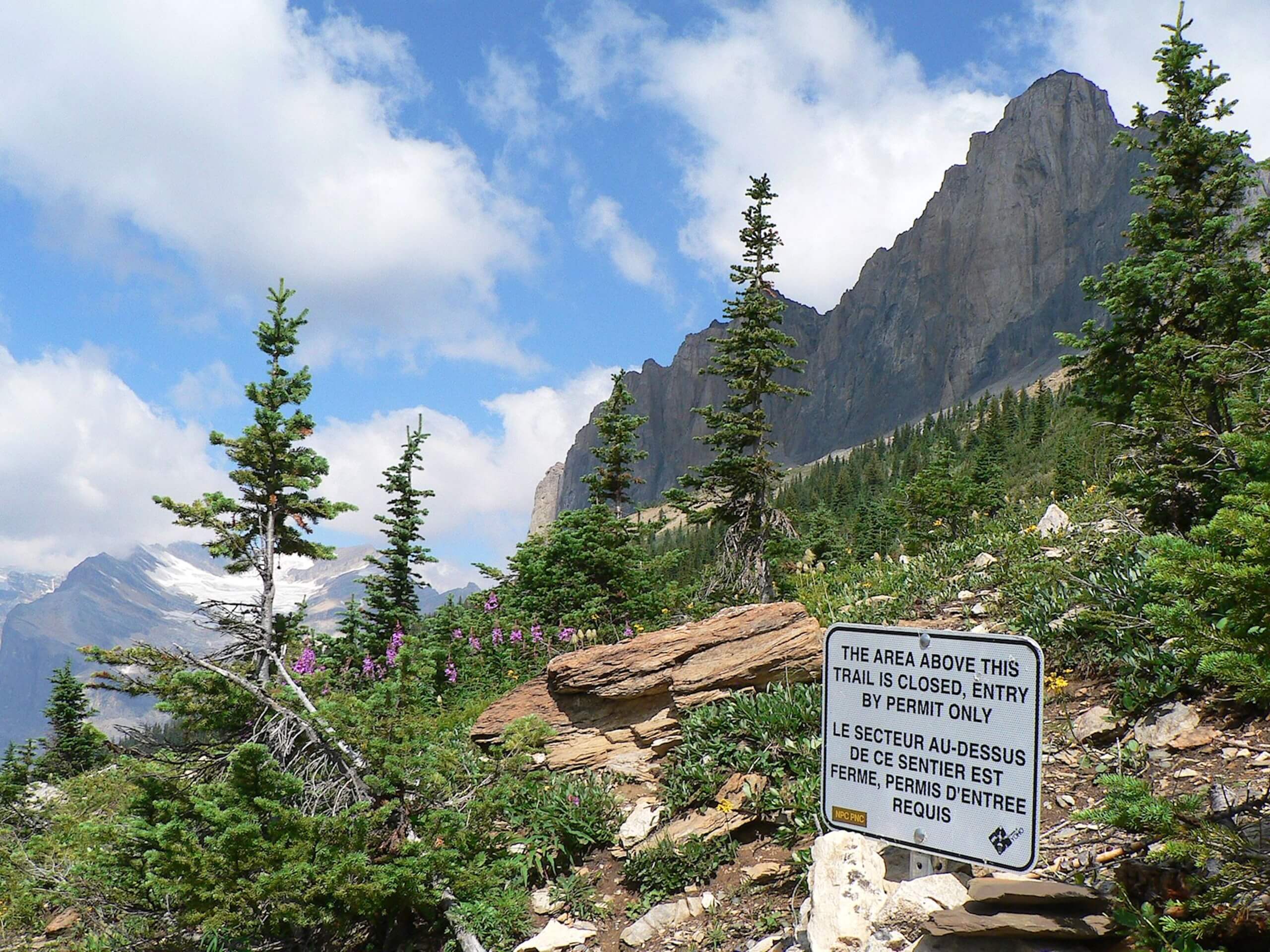
Burgess Shale Hike
Difficulty Rating:
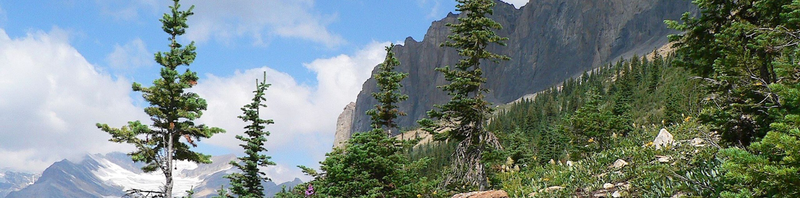
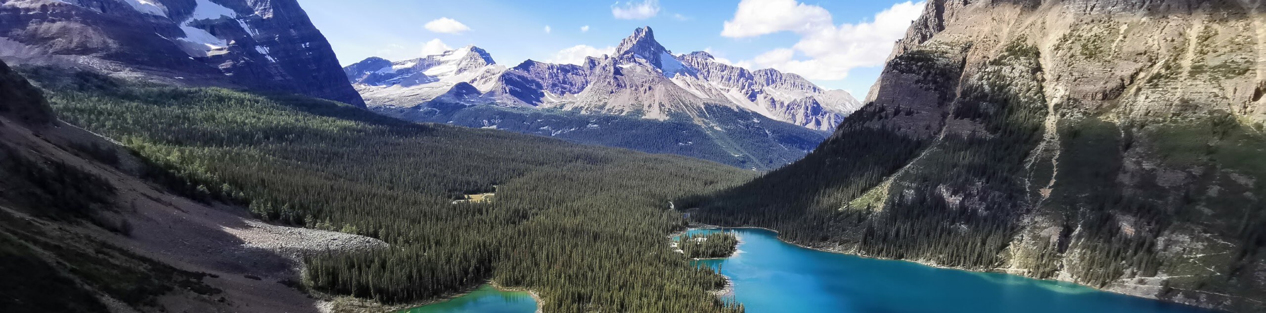
The Burgess Shale Hike is an amazing experience that will take you uphill along the slopes of Wapta Mountain for some stunning views overlooking the Emerald Basin within Yoho National Park. While out on this trail, you will also make your way to the Walcott Quarry, a unique area with a large deposit of fossils dating back millions of years. Hikers should take note that this area is a UNESCO heritage site that is off limits without the presence of a guide. Tours can be arranged with the Burgess Shale Geoscience Foundation.
Getting there
To reach the car park for the Burgess Shale Hike from Field, make your way northeast for 2.2mi along BC-1 and turn left onto Yoho Valley Road. After 8.3mi, you will arrive at the parking lot.

About
| When to do | June-October |
| Backcountry Campsites | Takakkaw Falls Campground |
| Pets allowed | No |
| Family friendly | No |
| Route Signage | Average |
| Crowd Levels | Moderate |
| Route Type | Out and back |
Burgess Shale Hike
Elevation Graph
Weather
Burgess Shale Hike Description
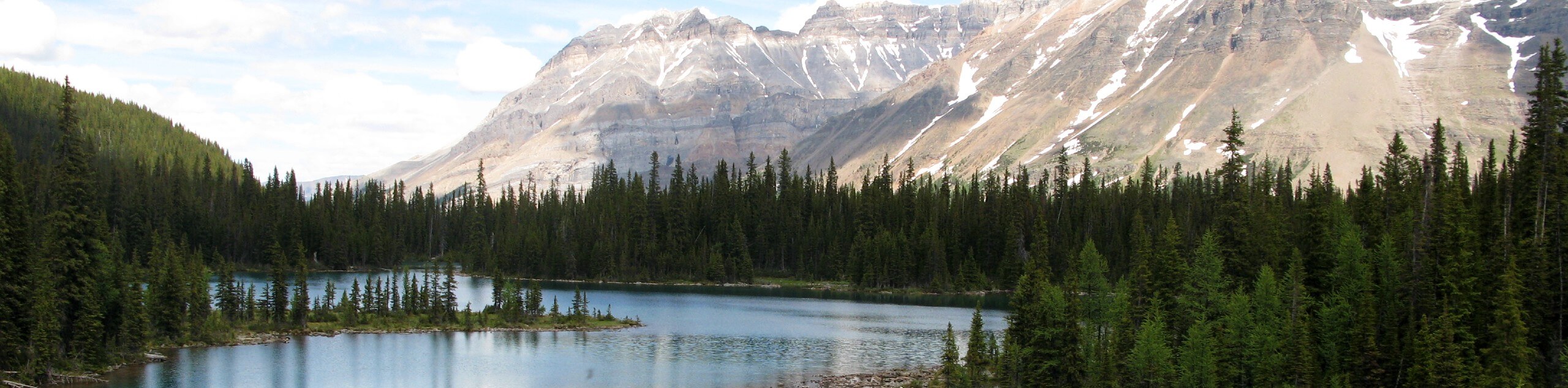
If you are looking to experience some breathtaking views of Yoho National Park while learning about the area’s interesting geological history, then the Burgess Shale Hike will make for an amazing day out on the trails. The route sets out from the parking area near Takakkaw Falls and heads to the south to climb through some steep terrain on the way to Yoho Lake. From here, you will work around the lower slopes of Wapta Mountain and gain some amazing views overlooking the Emerald Basin and its dramatic peaks. Pay close attention to your guide as they lead you through the area towards the Walcott Quarry and explain the rich geological history of this fascinating landscape, complete with visible fossils that date back hundreds of millions of years. After exploring the site, you will retrace your steps and make the long journey back to the trailhead where you began your journey back in time.
Similar hikes to the Burgess Shale Hike hike
Lake O’Hara Alpine Circuit
Hiking the Lake O’Hara Alpine Circuit is an amazing experience that will see you traverse the rugged, yet beautiful terrain…
Linda Lake Hike
The Linda Lake Hike is a fantastic excursion that will lead you through some beautiful terrain in Yoho National Park…
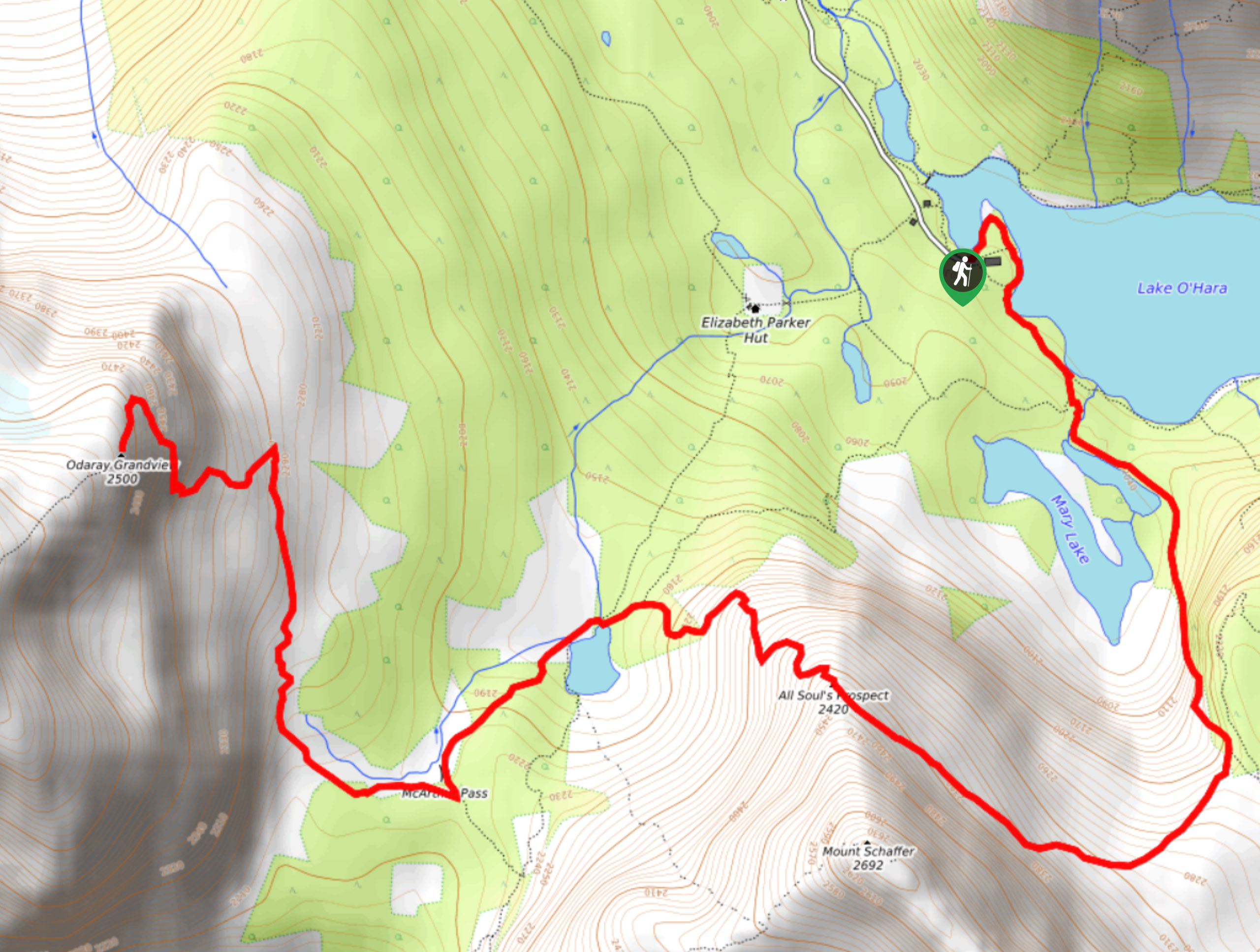
Schaffer Lake and McArthur Pass
The Schaffer Lake and McArthur Pass Trail is a challenging adventure in Yoho National Park that will take you uphill…
Comments