Lake O'Hara All Souls Route hike
View Photos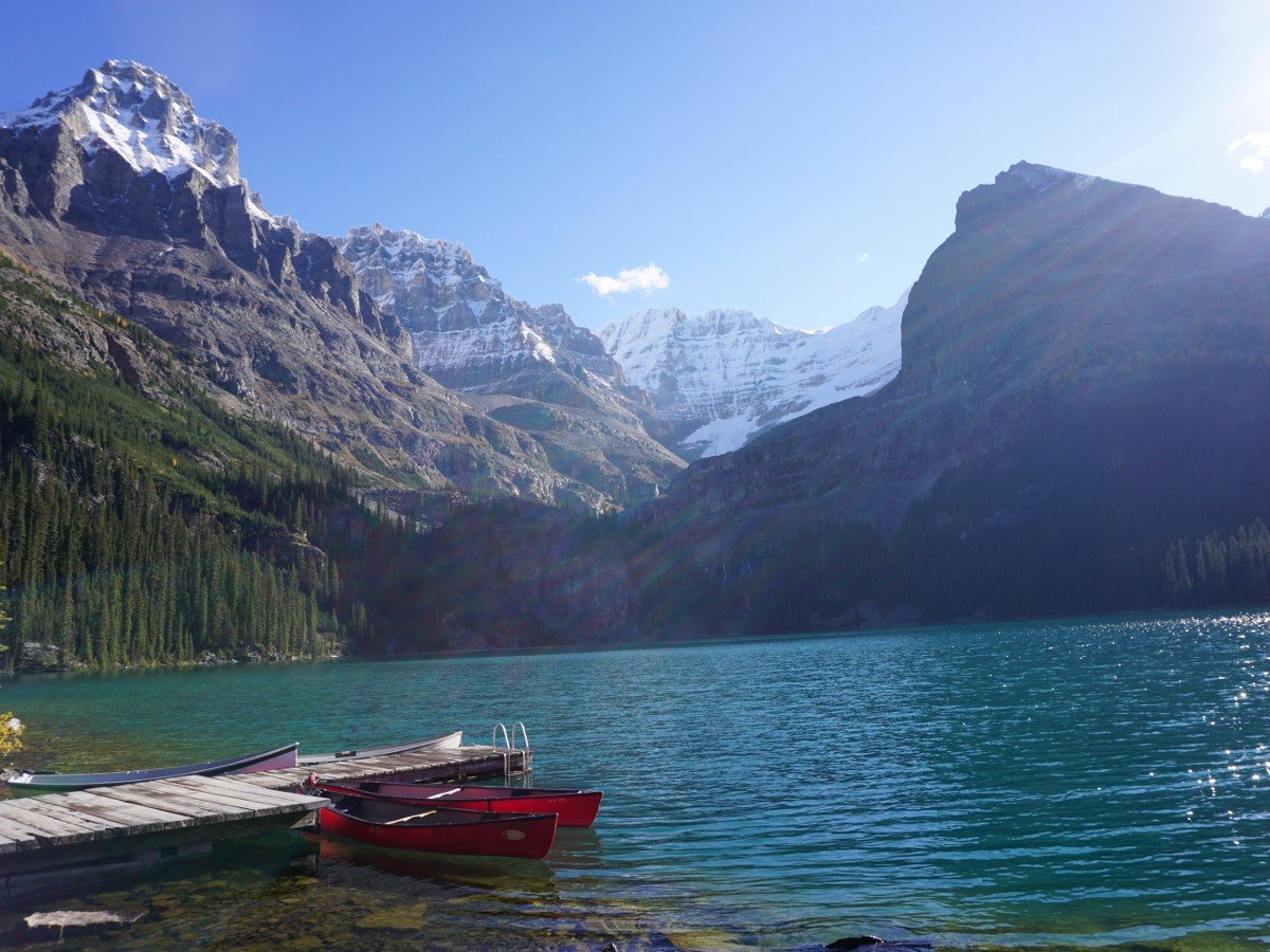
Lake O'Hara All Souls Route hike
Difficulty Rating:
The All Souls Route at Lake O’Hara is one of the finest hikes in the Canadian Rockies. Crowds are kept at bay on this hike due to limited access to Lake O’Hara by bus. We love this walk!
Getting there
To access this route, you must either hike in on an 6.8mi access road, or make reservations on the Lake O’Hara bus through Parks Canada. These reservations fill up early, but cancellations happen – so always make sure to check in.

About
| When to do | June through October |
| Backcountry Campsites | Yes |
| Toilets | Trailhead |
| Family friendly | No |
| Route Signage | Average |
| Crowd Levels | Moderate |
| Route Type | Circuit |
Lake O'Hara All Souls Route
Elevation Graph
Weather
Route Description for Lake O'Hara All Souls Route
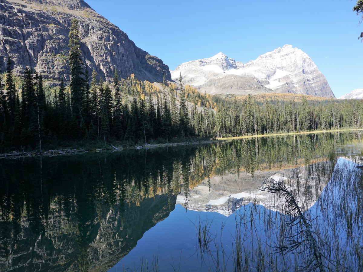
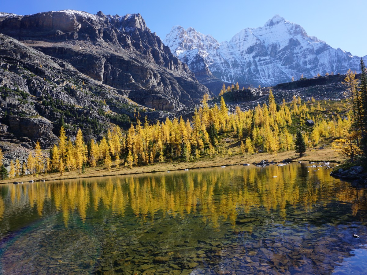
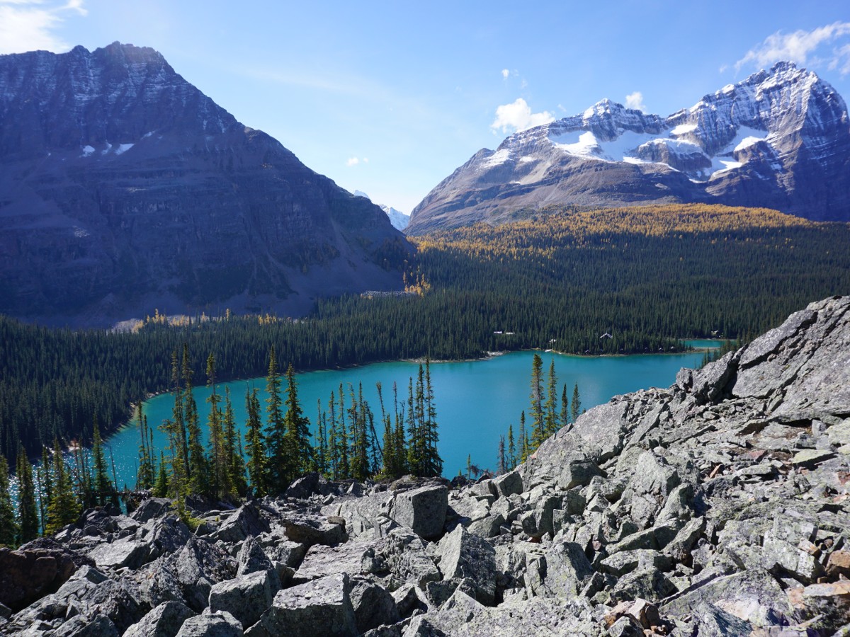
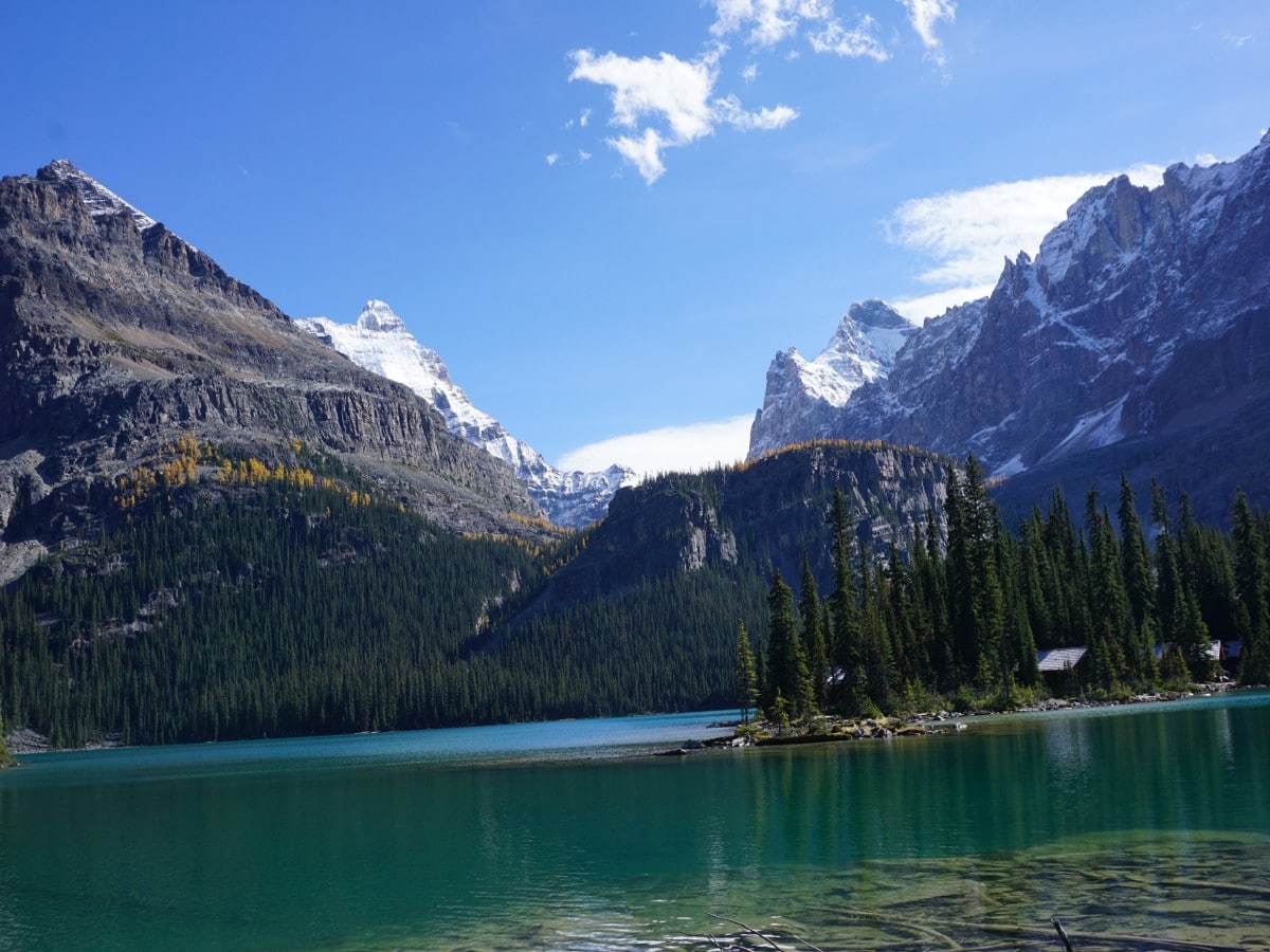
This trip can be done either clockwise or counter-clockwise. We recommend the counter-clockwise and will describe the hike this way. Starting at the Le Relais Day Shelter, continue up the road towards Lake O’Hara Lodge, passing it on a well-marked path towards West Opabin. A junction comes approximately 2953ft after Lake O’Hara Lodge for West Opabin. Take this route and pass Mary Lake on your right, which can be beautiful in the morning.
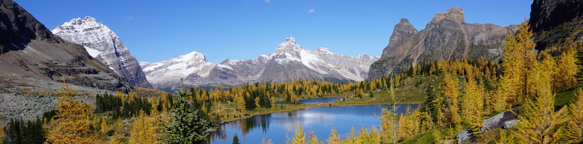
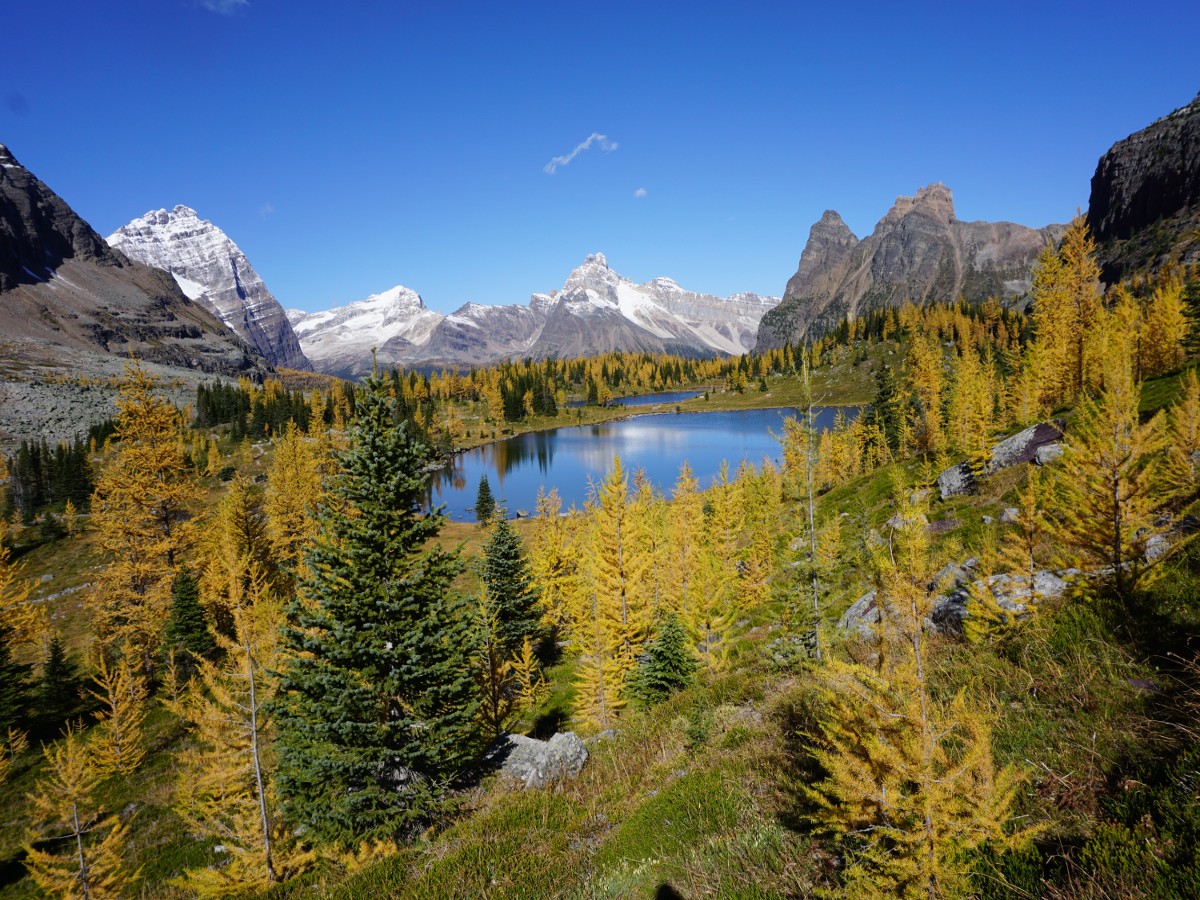
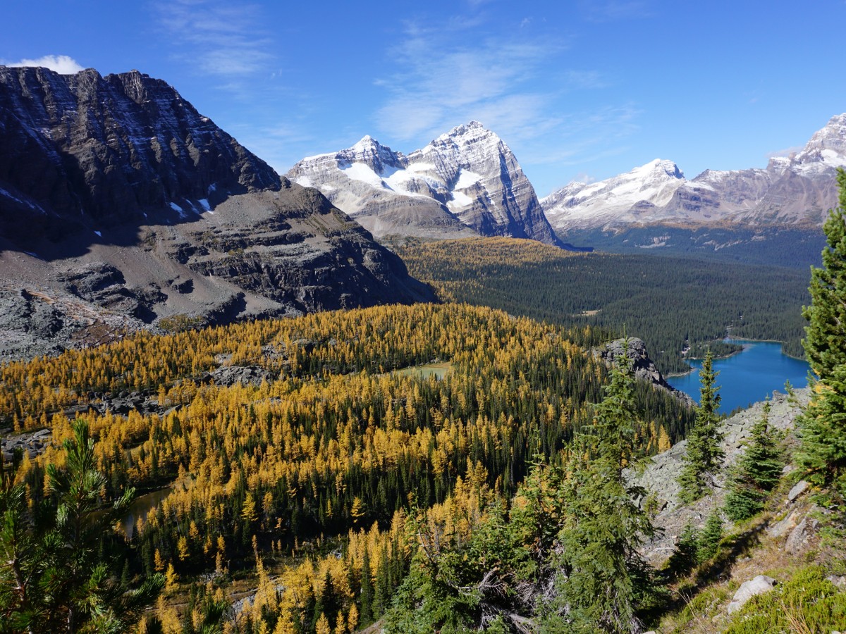
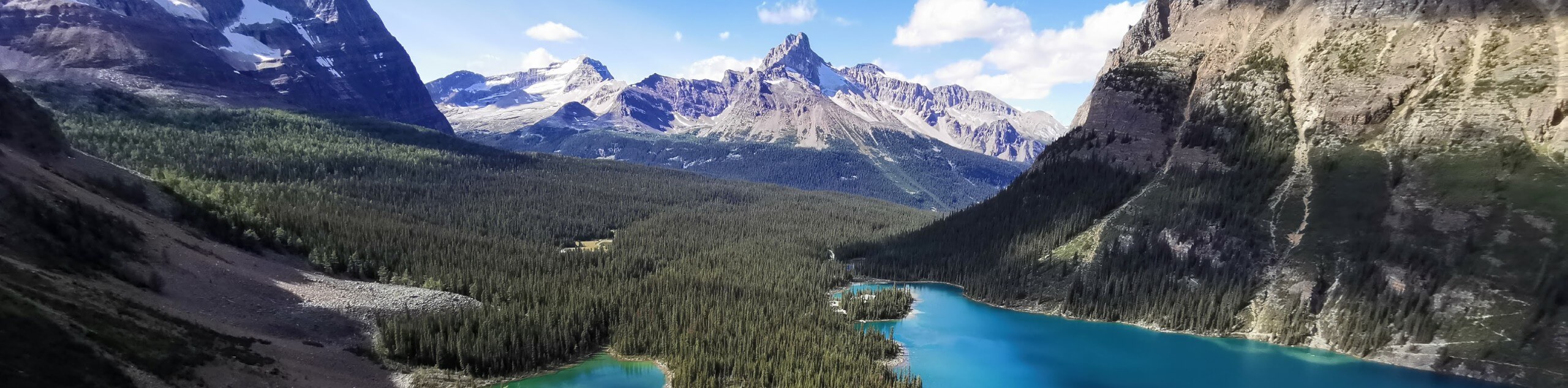
Ascend approximately 410ft of elevation until you reach a grassy area known as Opabin Plateau. You’ll notice the All Souls Prospect Alpine Route connector coming in on your right from Schaffer Lake. From here, you can choose to visit Opabin Prospect by going left for a tremendous view or continue ahead for the Highline Trail.
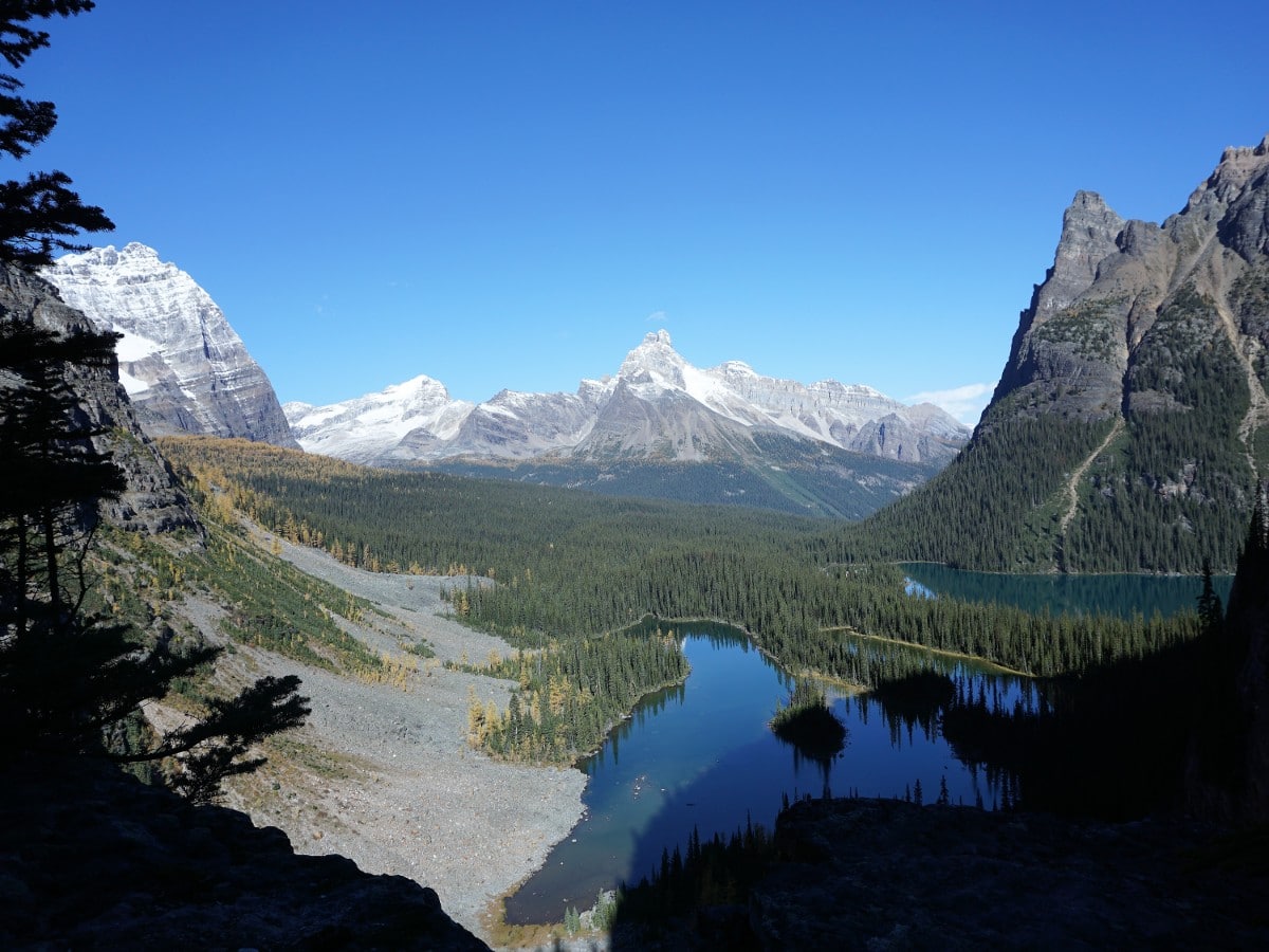
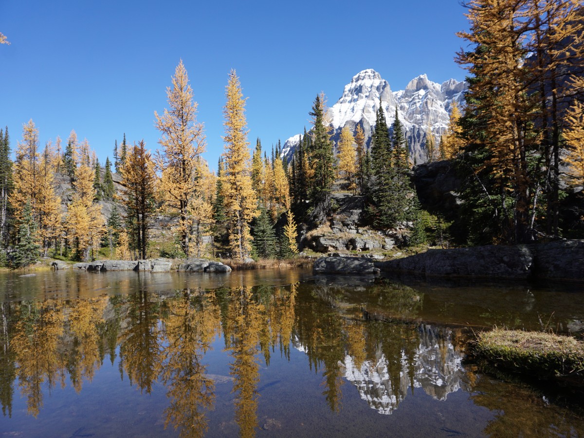
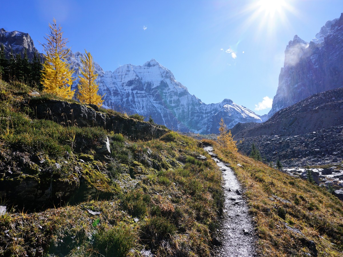
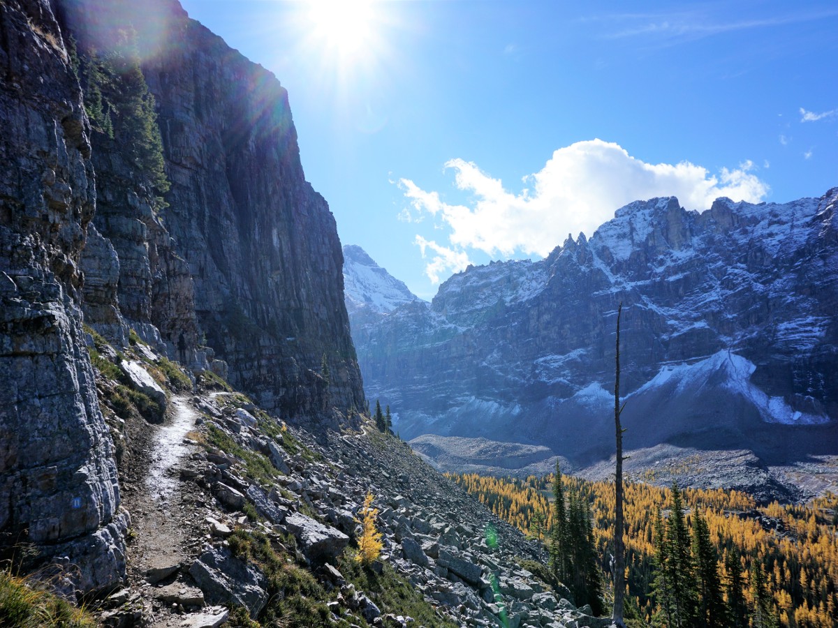
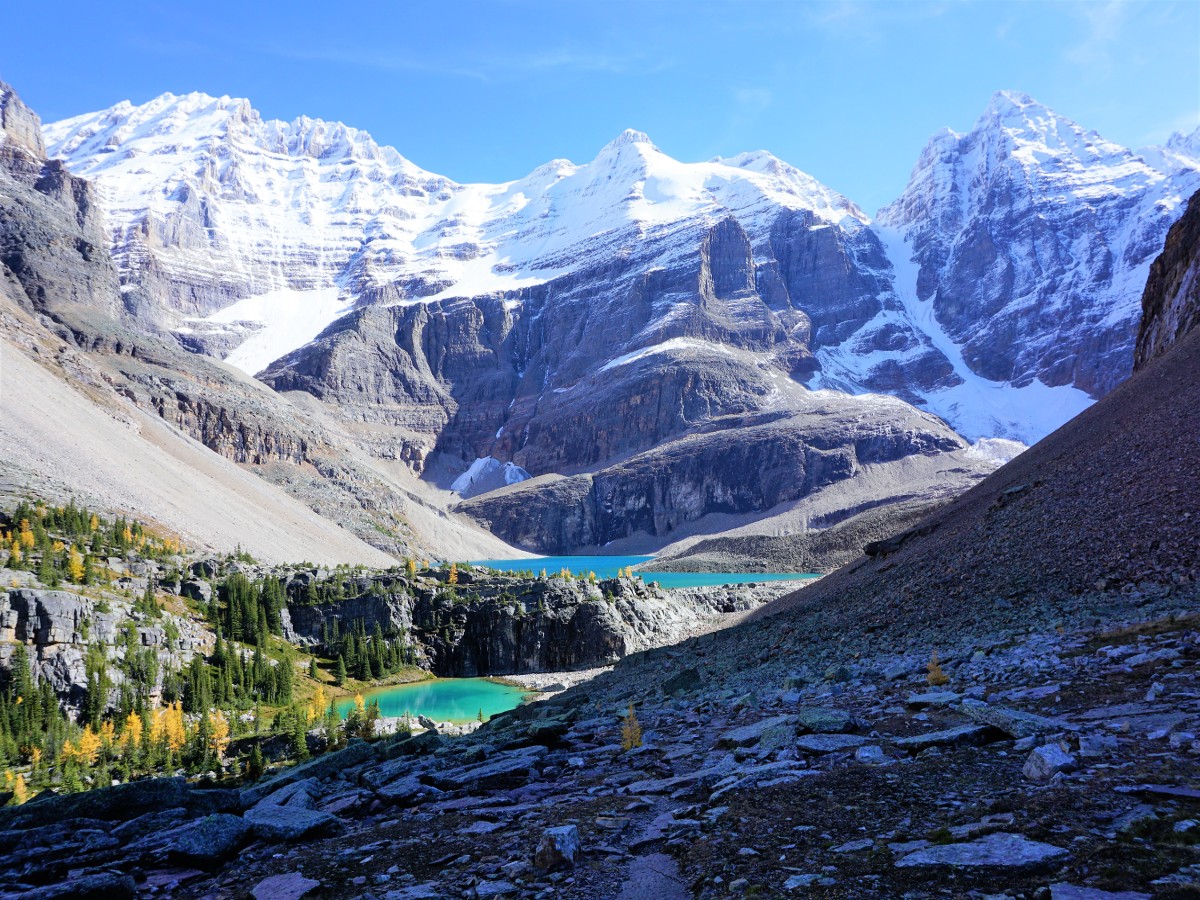
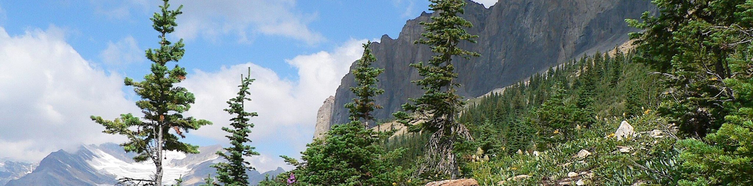
The Highline Trail takes you along Opabin Creek and heads towards Hungabee Lake. Climb over a knoll and you are greeted with Opabin Lake fringed with peaks and fed by the Opabin Glacier. Continue your circuit and head back on the other side of the valley towards Yukness Ledge Alpine Route. This route can be challenging, as you pick your way through a boulder field while ascending. Continuously look out for the blue square with two yellow lines, which denote the Alpine Route. You’ll ascend to a path that hugs the Yukness Mountain and gives wonderful views. Remember to look back at where you’ve come from, as the scenery is exquisite in every direction.
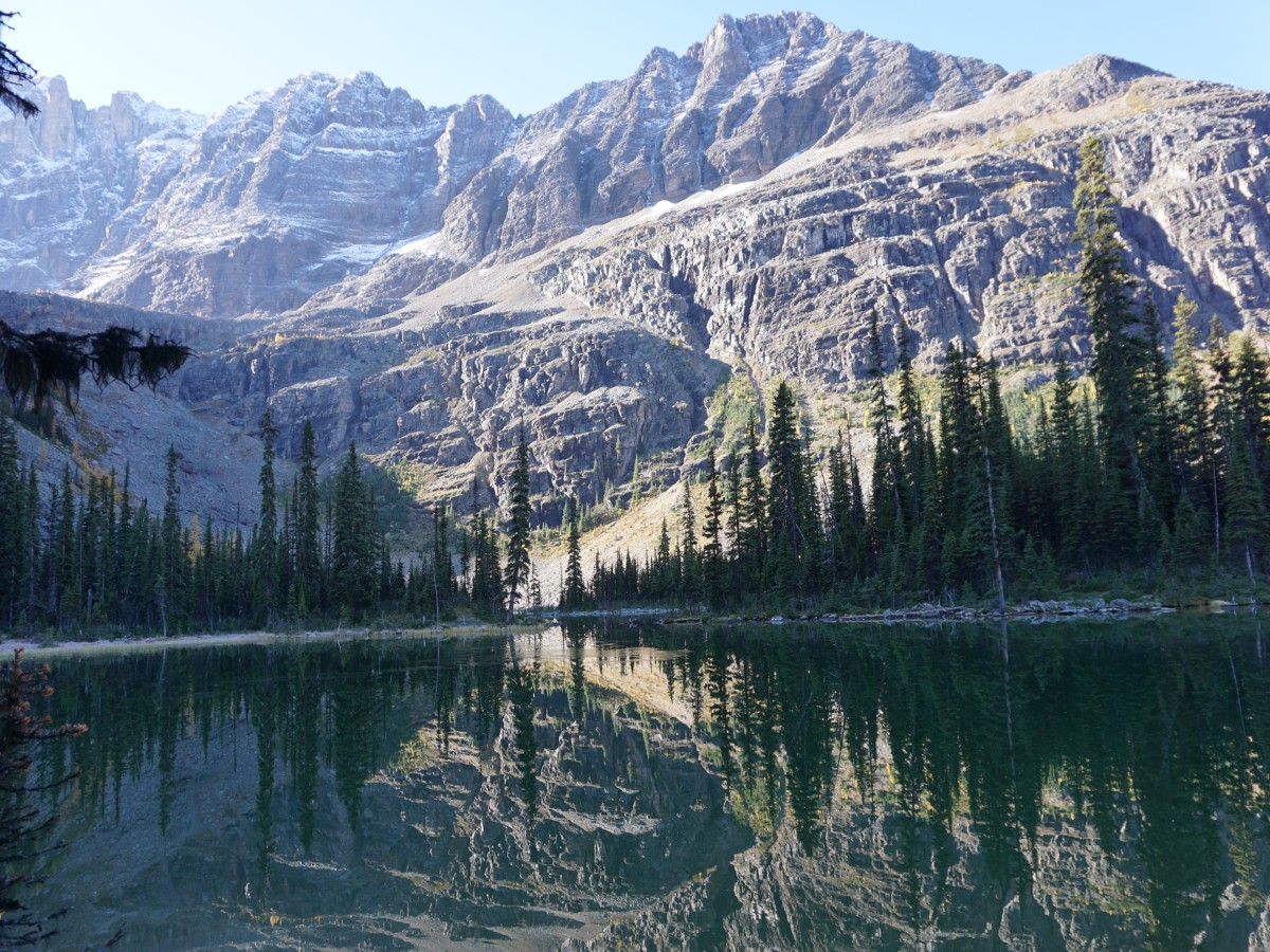
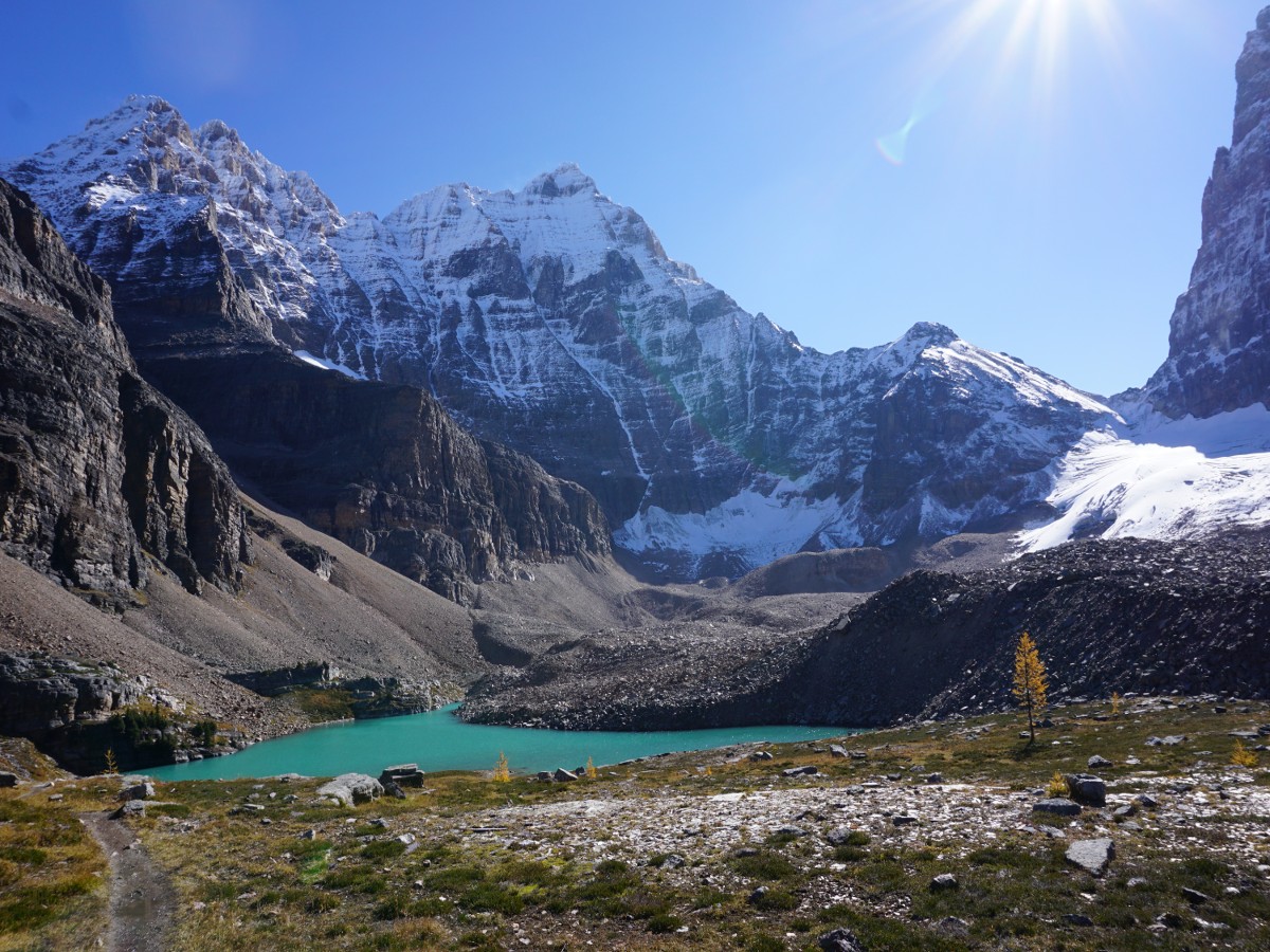
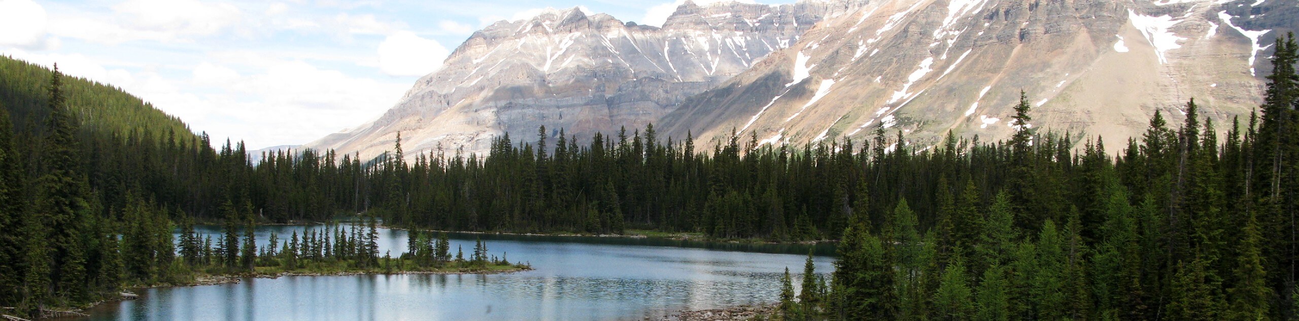
As you round on the NW corner of Yukness Mountain, you’ll continue to ascend through a boulder section and pass several lovely lakes. If not windy, Lake Oesa is a wonderful place for a break.
From here, you can choose to head up to Wiwaxy Gap on the Huber Ledges Alpine Route, though this is much more exposed feeling than Yukness. We recommend descending on the Lake Oesa trail. Pass beside Lake Victoria, and then continue further down past Yukness Lake. Once down at Lake O’Hara you contour the lake and return to Le Relais shelter. Congratulations on completing one of the most beautiful trails in the Rockies, if not on earth.
Insider Hints
Book your bus early, and check for cancellations.
Consider a stay at Lake O’Hara Lodge and spend several days in this beautiful area.
You can spend a few days either staying at historic Elizabeth Parker Hut or in the Lake O’Hara backcountry campground.

Similar hikes to the Lake O'Hara All Souls Route hike
Burgess Shale Hike
The Burgess Shale Hike is an amazing experience that will take you uphill along the slopes of Wapta Mountain for…
Lake O’Hara Alpine Circuit
Hiking the Lake O’Hara Alpine Circuit is an amazing experience that will see you traverse the rugged, yet beautiful terrain…
Linda Lake Hike
The Linda Lake Hike is a fantastic excursion that will lead you through some beautiful terrain in Yoho National Park…
AnnSue 4 years ago
We had our adventure here a few years ago, and I must say this place is fantastic.
Tara Green 4 years ago
A magical place and a lovely lake
Aleysha C. 4 years ago
The scenery surrounding Lake O' Hara is simply breathtaking. this must be one of the most beautiful places anyone can go.
WendyMag. 4 years ago
Spectacular views, changing landscape, absolutely jaw dropping. INCREDIBLE!
AveryJ. 4 years ago
I felt so blessed to be able to see such incredible gem! The fact that only a few were given the chance to go here makes it more fantastic!
SophieM. 4 years ago
I feel so blessed to see this beauty with my own eyes. This place is heaven!
Shad J. 4 years ago
Not that crowded because of the limitations. It's not that rough too but I suggest bringing enough water and some snacks along the way!
Jango l. 4 years ago
I think It is safe to assume that this is one of the best hikes in the Canadian Rockies! Magical and romantic!
Glori S. 4 years ago
Stunning hike! The all-encompassing beauty of the scenery and the lake made this trip worthwhile.
Macky O. 5 years ago
Outstanding views. Definitely worth the challenge. Love the exclusivity of the area.