
Hoodoo Creek Trail
View Photos
Hoodoo Creek Trail
Difficulty Rating:
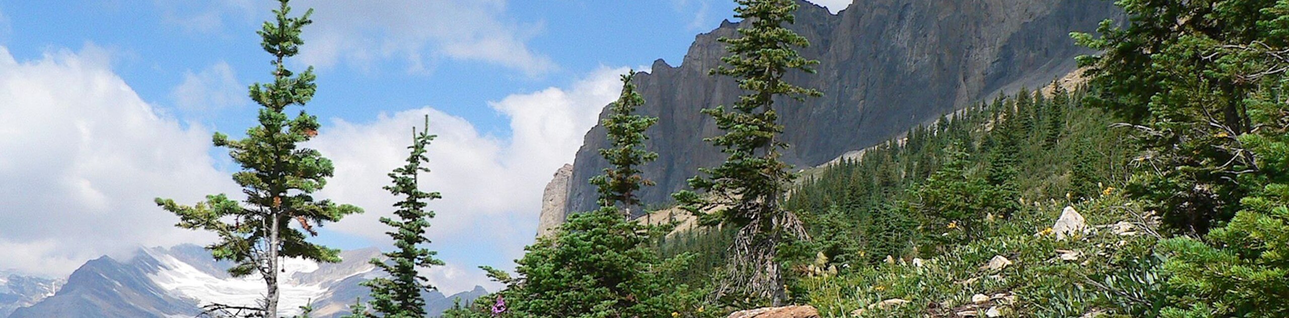
Hiking the Hoodoo Creek Trail is a fun excursion in Yoho National Park, BC, that will take you up the hillside for some nice views overlooking weathered rock formations known as hoodoos. While out on the trail, you will cross a footbridge over the hoodoo creek and climb a gradual switchback trail, all while taking in views of nearby mountains. This is a great walk to do with the family that might give your kids a small challenge without wiping them out.
Getting there
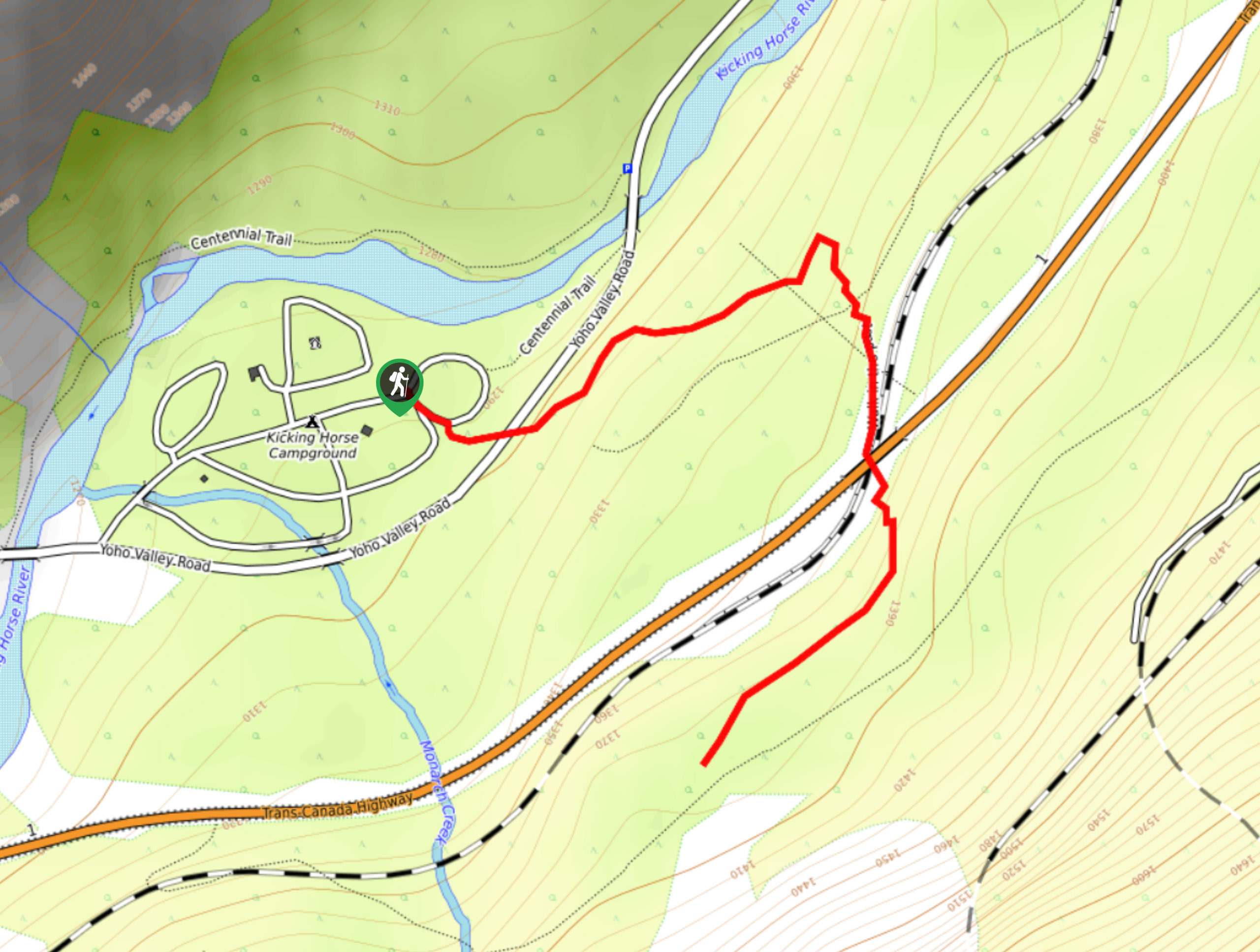
To reach the starting point of the Hoodoo Creek Trail from Golden, drive south on BC-1E for 20.1mi and turn right. Continue on for 1km to reach the trailhead at the end of the road.

About
| When to do | May-October |
| Backcountry Campsites | Hoodoo Creek Campground |
| Pets allowed | Yes - On Leash |
| Family friendly | Yes |
| Route Signage | Average |
| Crowd Levels | Moderate |
| Route Type | Out and back |
Hoodoo Creek Trail
Elevation Graph
Weather
Hoodoo Creek Trail Description
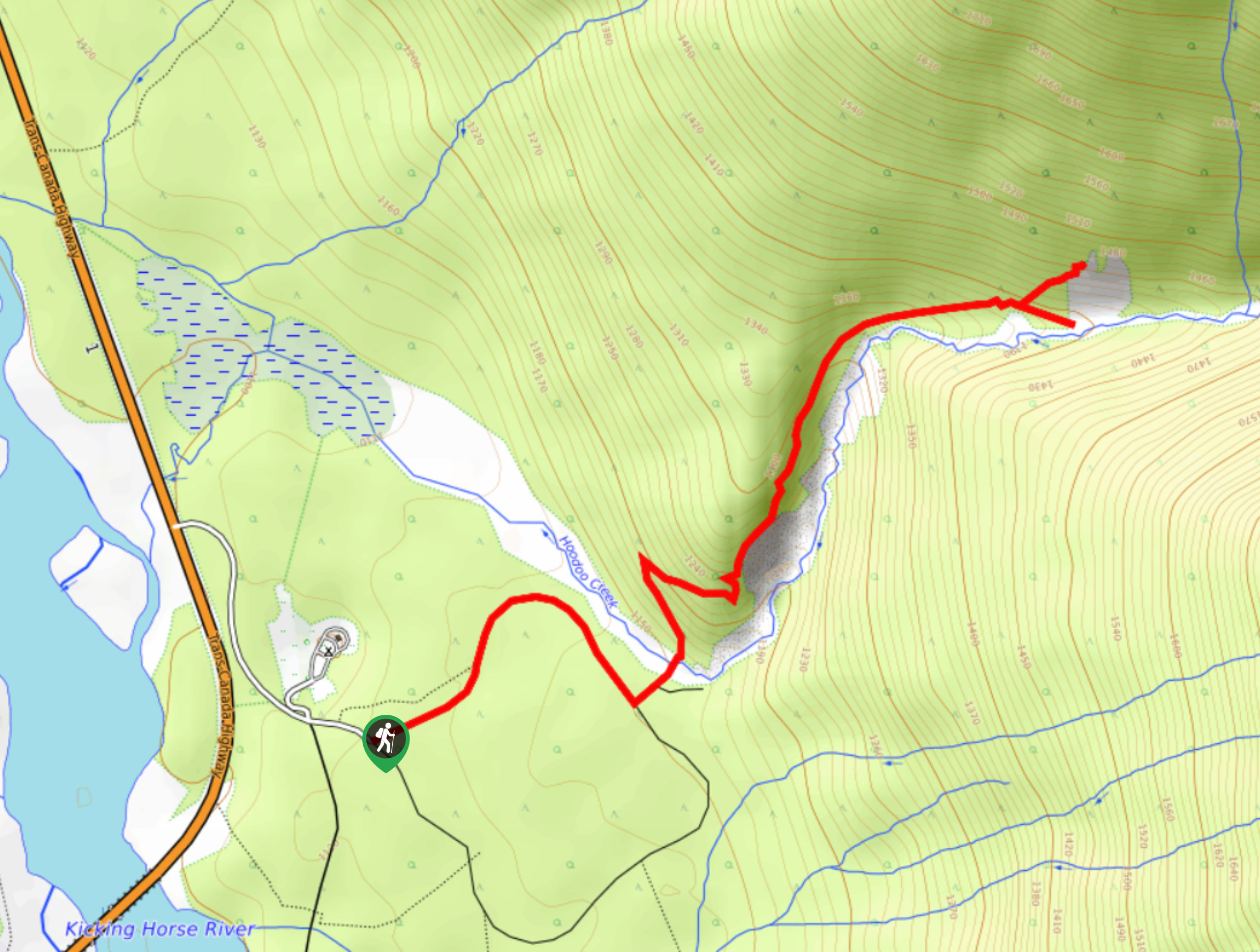
Although the initial portion of the Hoodoo Creek Trail follows a less-than-exciting access road for the nearby campground, the picturesque scenery really opens up after the first kilometre or so. You will experience a bit of uphill hiking on some terrain that may be uneven, so make sure to wear some decent hiking footwear.
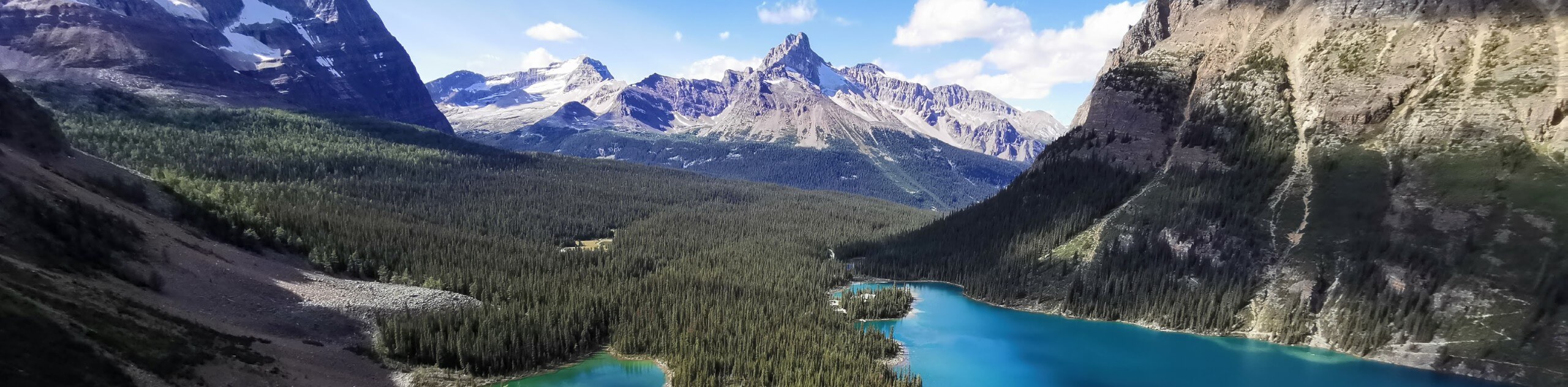
Setting out from the parking area, follow the track to the northeast and work your way around the bend, eventually arriving at a junction in the trail branching off to the left. Take this path and keep straight, where you will come to a sturdy footbridge spanning Hoodoo Creek. Make your way over to the opposite side and follow the trail uphill as it gradually forms a switchback through the forest. Along this portion of the hike, you will have some beautiful views of distant peaks, meadows, and lakes as you work your way to a fork in the trail on the hillside. Taking the short path on the right will lead you to a viewpoint just below a batch of hoodoos that have been formed as the result of countless years of weathering. The path on the left is equally short, but will take you slightly further uphill to view the same hoodoos from eye level. After taking in the sights, retrace your steps to the trailhead where you started your adventure.
Similar hikes to the Hoodoo Creek Trail hike
A Walk in the Past Trail
The Walk in the Past Trail is a quick and easy hiking route in Yoho National Park that will lead…
Burgess Shale Hike
The Burgess Shale Hike is an amazing experience that will take you uphill along the slopes of Wapta Mountain for…
Lake O’Hara Alpine Circuit
Hiking the Lake O’Hara Alpine Circuit is an amazing experience that will see you traverse the rugged, yet beautiful terrain…
Comments