
Sweeney Creek Trail
View Photos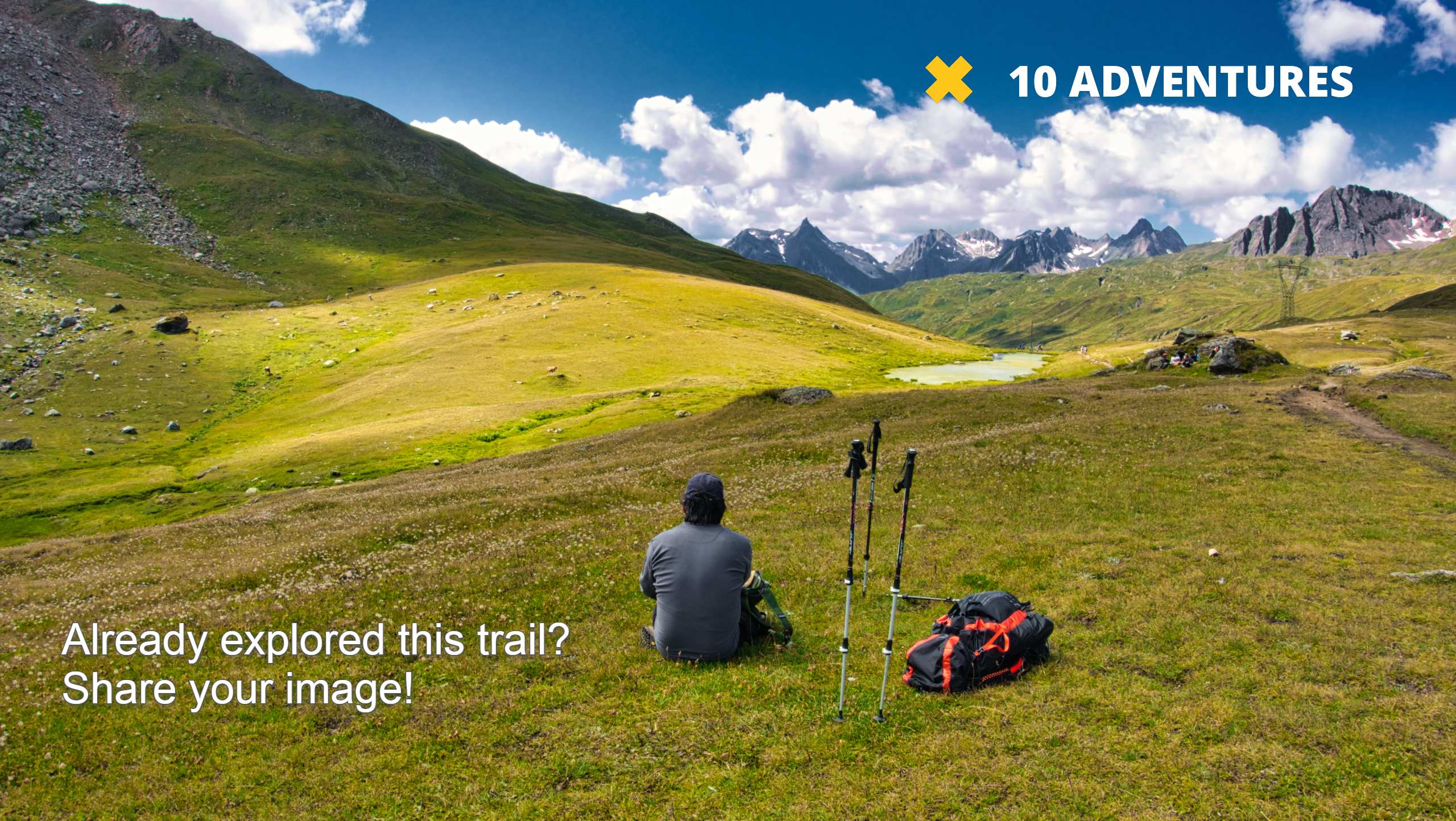
Sweeney Creek Trail
Difficulty Rating:
The Sweeney Creek Trail can be enjoyed in a myriad of different ways. This epic expedition into the high country can be hiked, biked, or driven. No matter the means, the stunning alpine scenery will render you speechless!
Getting there
Access this hike via the Half Moon Lodge Cut Off on Forest Service Road 114.

About
| Backcountry Campground | Backcountry Camping |
| When to do | May-October |
| Pets allowed | Yes - On Leash |
| Family friendly | No |
| Route Signage | Average |
| Crowd Levels | Low |
| Route Type | Out and back |
Sweeney Creek Trail
Elevation Graph
Weather
Sweeney Creek Trail Description
The Sweeney Creek Trail explores a diverse landscape occupied by blossoming montane meadows, dense woodlands, blabbing creeks, alpine lakes, and impressive granite crests. While challenging, this hike rewards spellbinding views of the high country that most adventures in the area can’t even come close to. As this trek is long, it is important to leave in the morning to avoid returning at dusk! With all sorts of exploration in the area, we encourage hikers to big a can of bear spray in the case of an unlikely encounter.
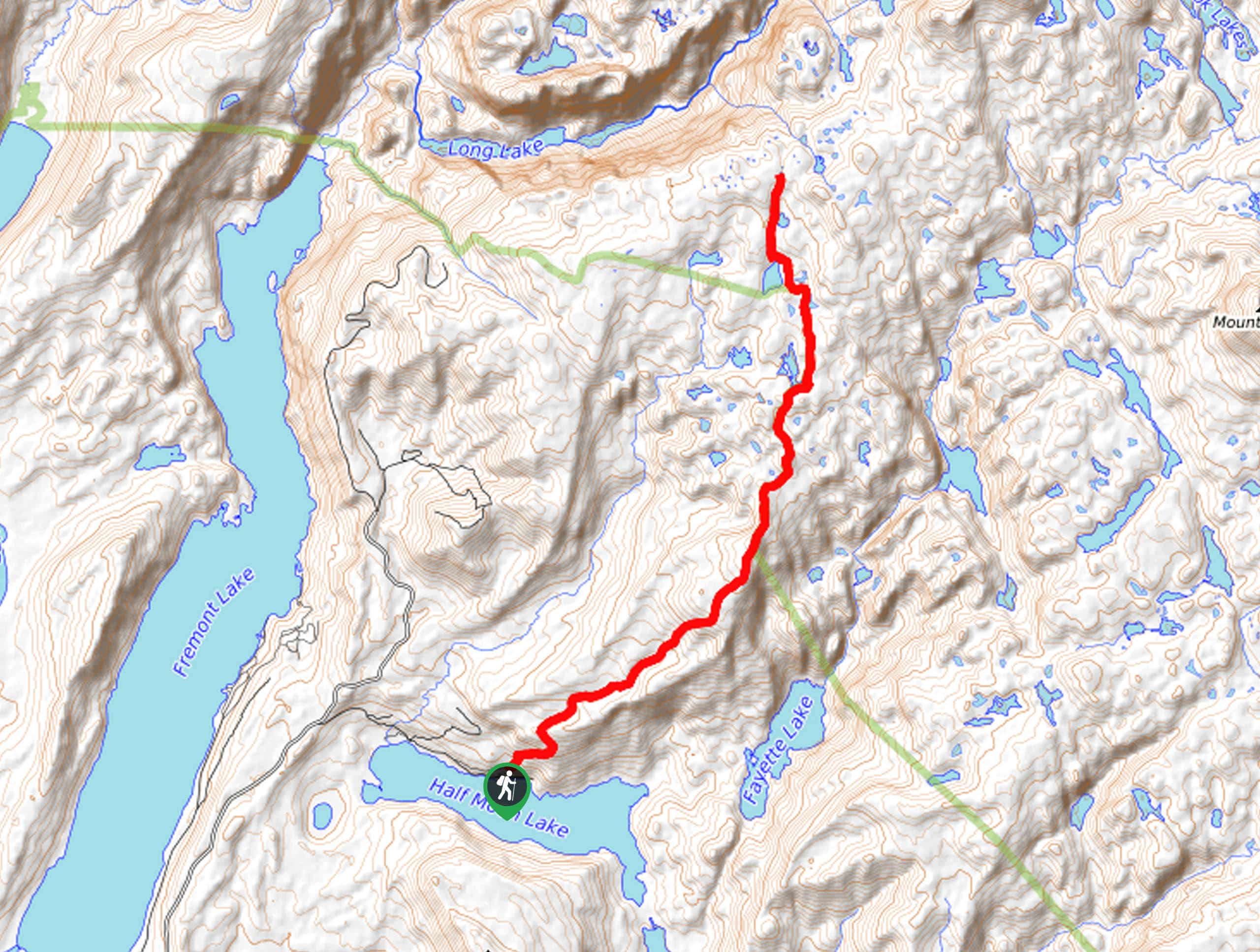
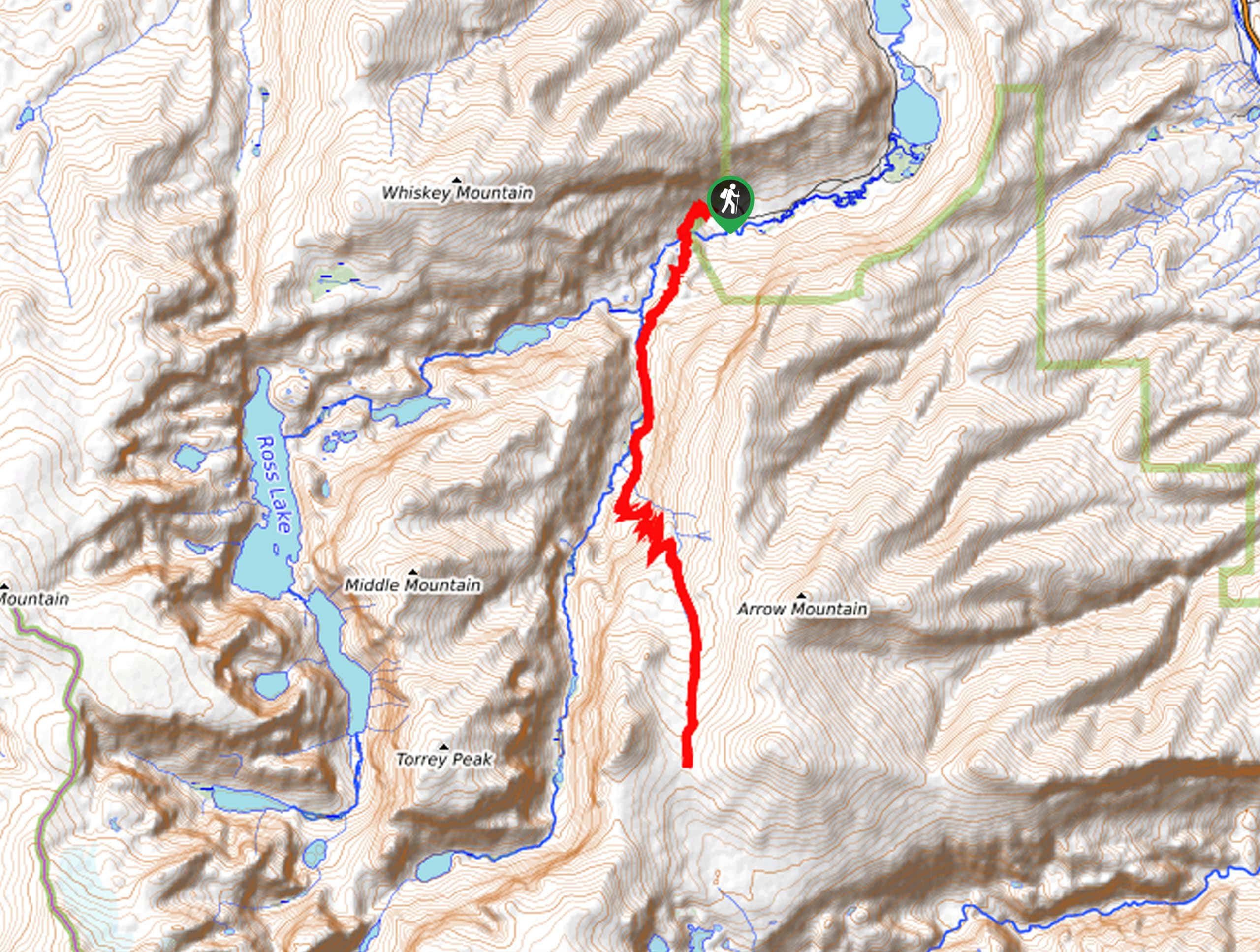
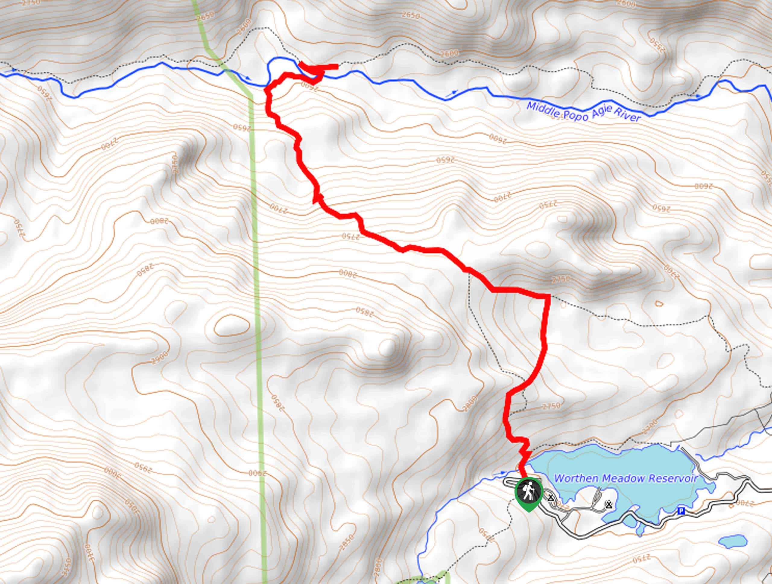
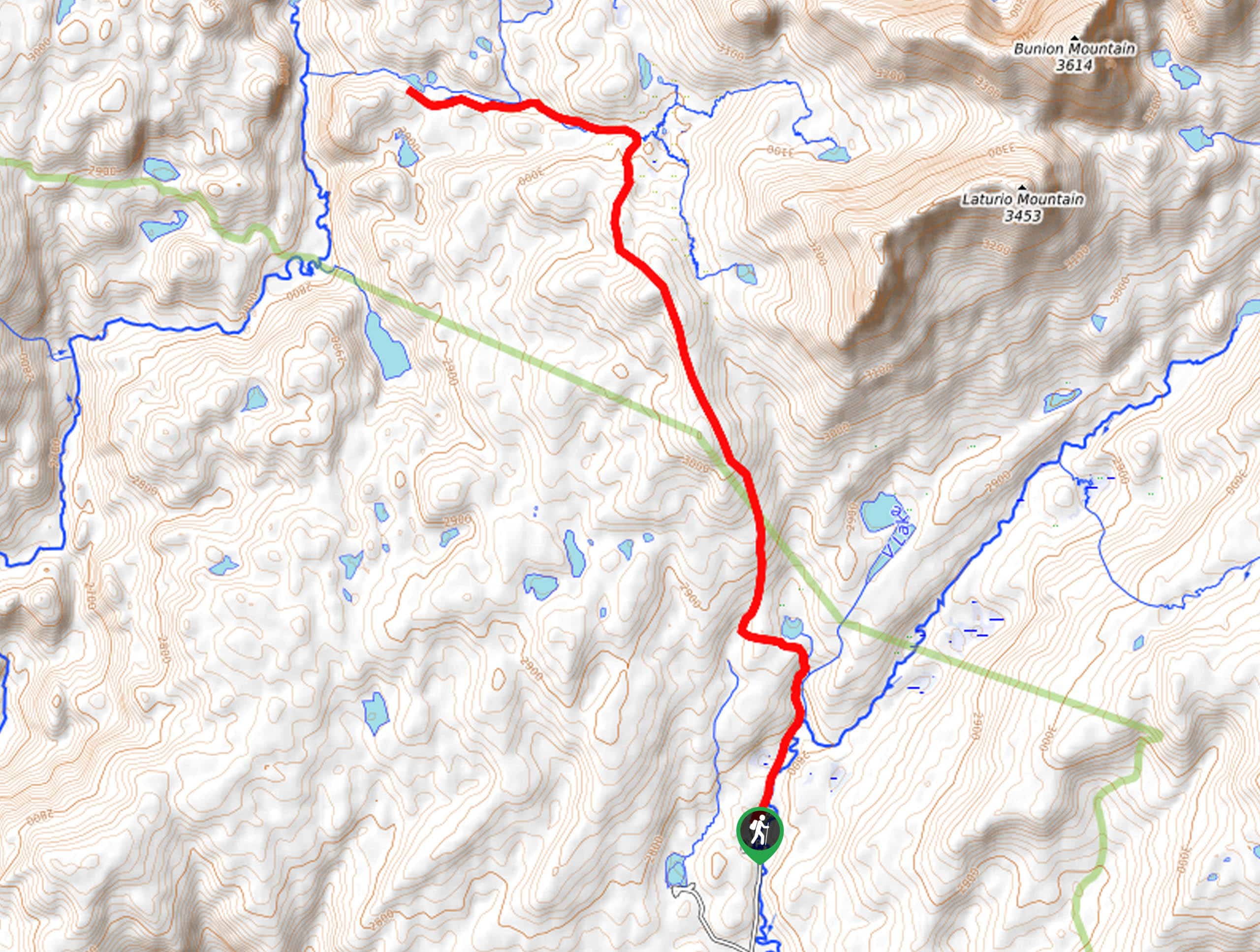
Your adventure into the alpine begins from the trailhead off Forest Service Road 114. Setting out from here, you will follow the Half Moon Lodge Cut Off up a steep ridge. Soon after your departure, you will reach an intersection; veer right here, and you will be diverted onto the Sweeney Creek Trail. Gradually climbing, this path will weave between woodlands and montane meadows. Make sure to keep an eye out for wildlife as you wander. After some hiking, the terrain will become increasingly exposed, passing several charming ponds and alpine pools. Enjoy the sights of the encompassing granite landscape as you enter the basin.
Tracking north, the path will guide you through a garden of Sweeney Lakes. Marvel at the beauty of the alpine lakes framed by the distant snow-capped peaks of the Winds. You will ultimately reach the trail’s end at the junction with the Pole Creek Trail. To get back to the trailhead, simply retrace your footing along the route.
Similar hikes to the Sweeney Creek Trail hike
Glacier Trail
The Glacier Trail is a demanding day hike in the Winds that boasts a scenic and secluded experience. Wander through…
Sheep Bridge Trail
The Sheep Bridge Trail checks all the boxes—short, scenic, and secluded. What more could you ask for? Mountain views? It…
Francis Lake Trail
The Francis Lake Trail is a great hike worth the detour into the Winds. While this area is extremely popular,…
Comments