North Lake Hike
View Photos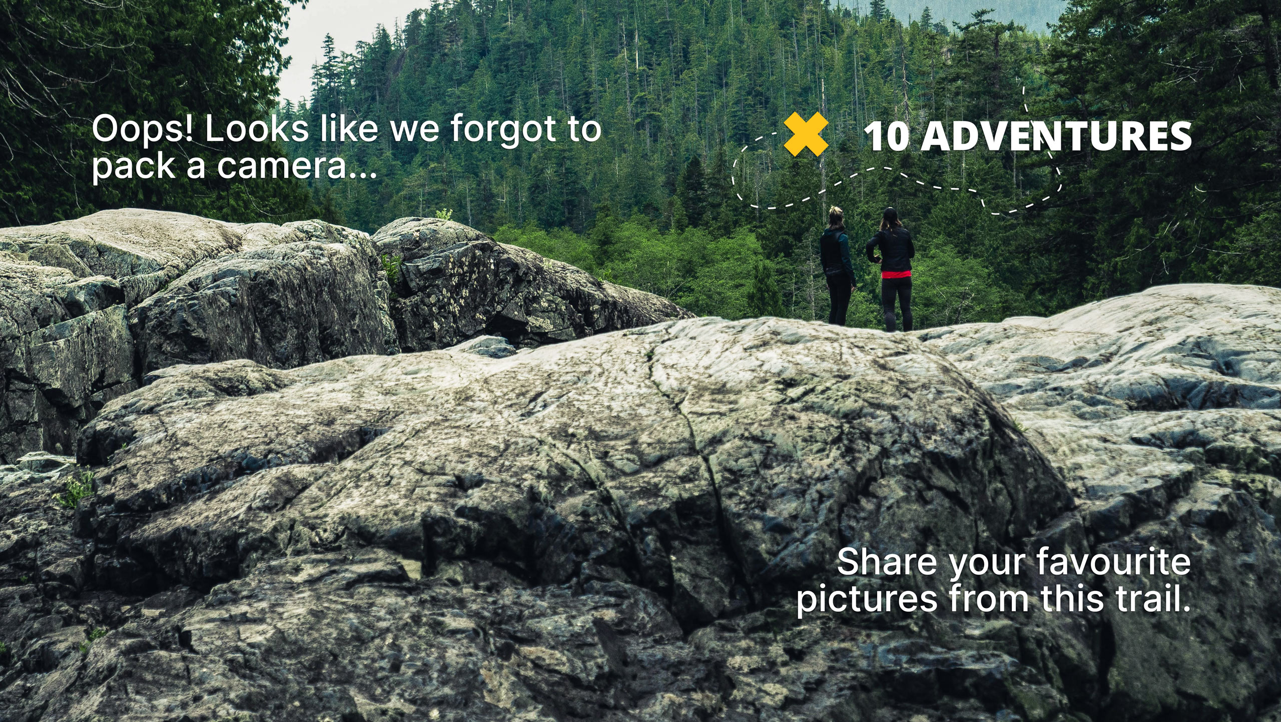
North Lake Hike
Difficulty Rating:
Immerse yourself in the Wind River Range on the North Lake Hike. While challenging, this high-country hike exhibits the beauty and grandeur of the craggy mountain range whilst boasting the opportunity to explore several glacial pools along the way.
Getting there
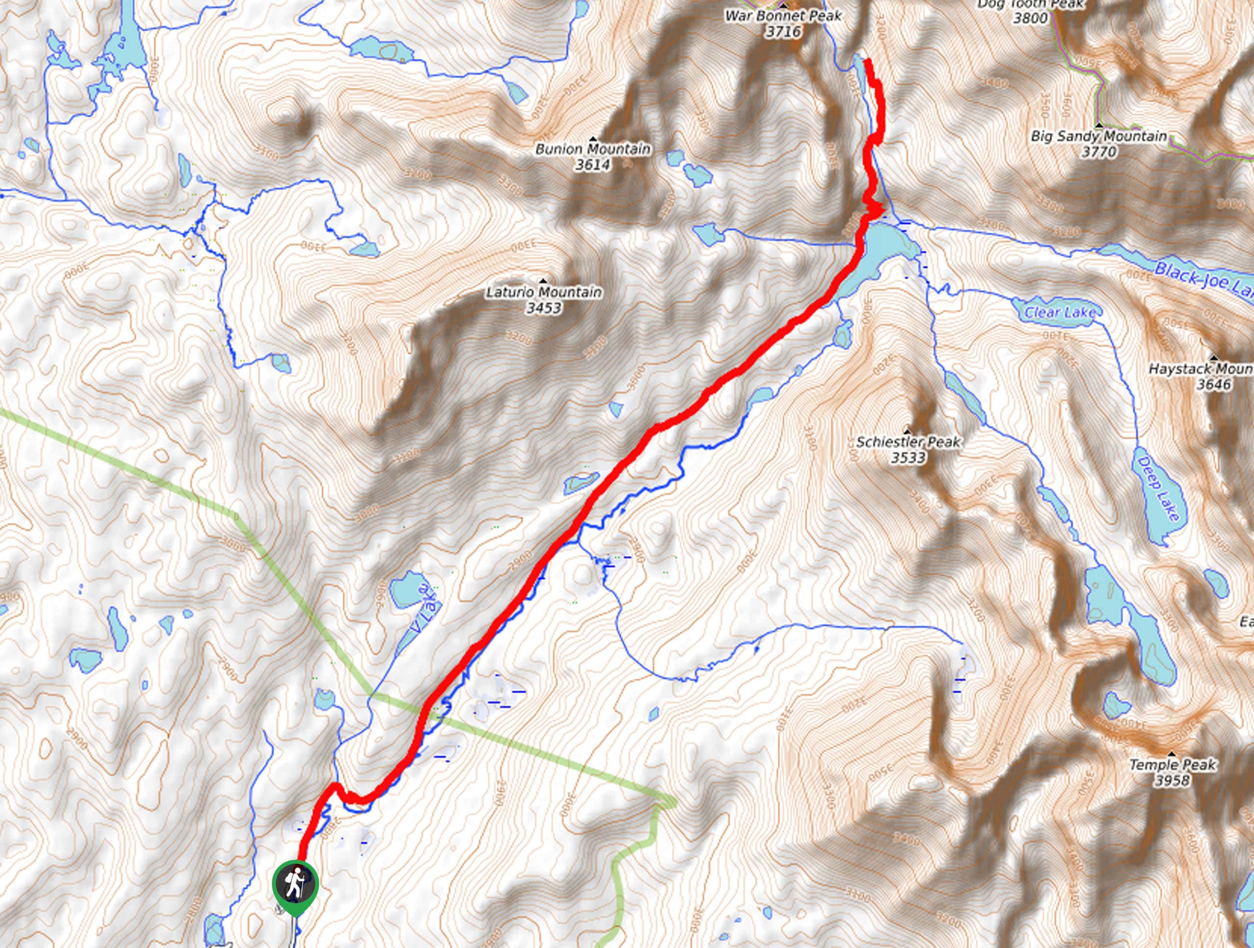
The North Lake Trail departs from the Big Sandy Trailhead off Big Sandy Opening Road.

About
| Backcountry Campground | Backcountry Camping |
| When to do | May-October |
| Pets allowed | Yes - On Leash |
| Family friendly | No |
| Route Signage | Average |
| Crowd Levels | High |
| Route Type | Out and back |
North Lake Hike
Elevation Graph
Weather
North Lake Hike Description
The North Lake Trail is a revered adventure into the Heart of the Wind River Mountains. Used as a gateway into the Bridger Wilderness and the gorgeous Cirque of the Towers, this trail is an epic destination in and of itself! That being said, arrive prepared to share the trail. Those seeking a more tranquil experience are encouraged to explore in the early morning, though there will likely still be light traffic. As with all hikes through bear country, make sure you or someone in your party carries a can of bear spray and knows how to use it. Additionally, as the exposed terrain at high elevations warrants extreme conditions, we encourage you to dress in layers and check the forecast before departure.
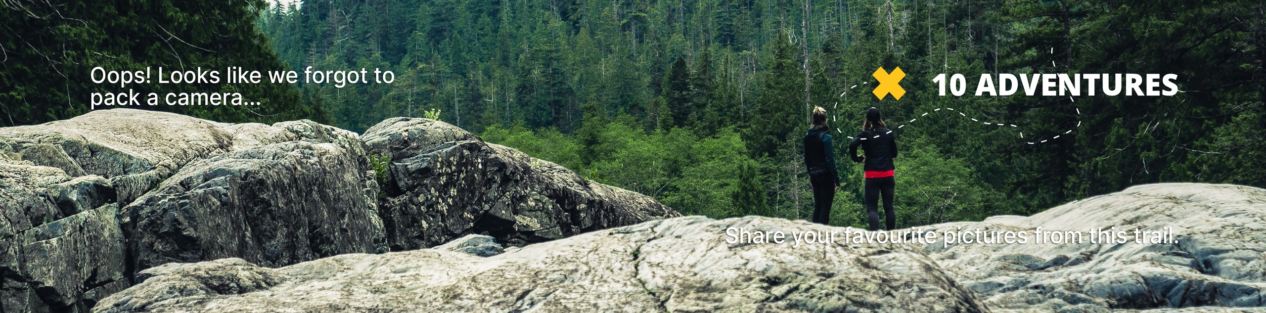
Yielding a variety of flora and fauna, beautiful alpine lakes, and dumbfounding views of the Wind River Mountains, this route is sure to impress. While this route boasts incredible scenery year-round, spring is our favorite time to explore as snow-dusting usually remains on the mountain tops, but the vegetation is lush, and meadows explode with vibrant Indian Paintbrush, fireweeds, and columbines. Though taxing and technical in sections, you will have the opportunity to cool off and rejuvenate your tired body in a refreshing alpine pool. Don’t forget to charge your camera; the scenery along this route is picture-perfect.
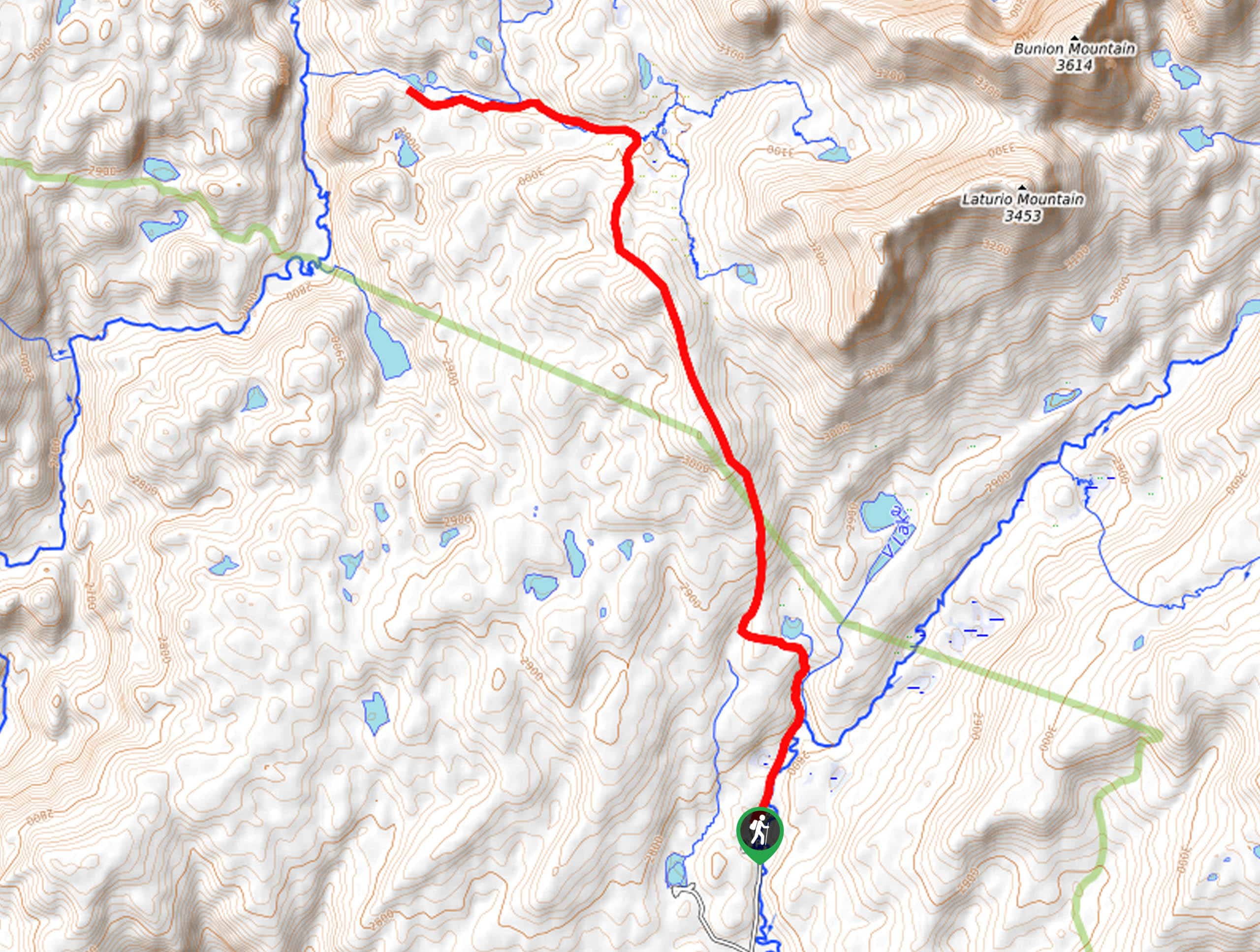
Your long and involved adventure on the North Lake Trail begins from the Big Sandy Trailhead. Setting out from the trailhead, you will briefly track the Freemont Trail alongside the Big Sandy River. Boasting distant views of the Wind River Mountains rising above the landscape, this route will wander through lush woodlands and vast meadows before reaching an intersection with the Big Sandy Trail. Beyond this point, the path will consistently climb towards the mountains. After some hiking, the path will wander past Diamond Lake—from here on out, the terrain will become rockier and more exposed.
Climbing into Jackass Pass, views of the crags, including the Cirque of the Towers Mountains. Soon the path will open to Big Sandy Lake. This lovely lake provides the perfect setting for a picnic and rest before the final push up to North Lake. Marvel at the scene of Big Sandy Mountain and its ridges hemming the glacial pool. After you are rested and rehydrated, trace the western shoreline, intersecting with Lost Creek. From here, the Big Sandy Trail will redirect north, along North Creek and up a set of switchbacks.
Just a few steps away from Big Sandy Lake, you will cross over North Creek before reaching North Lake. Nestled amongst the craggy walls of the Wind River Mountains, the small lake reveals spellbinding views of Dog Tooth Peak in the northeast, War Bonnet Peak in the northwest, and Sundance Pinnacle. Revel in the granite oasis that surrounds you and notice intrepid spirits scaling the sheer cliffsides. Enjoy the amazing scenery, dip your tired feet in the chilly alpine water, then head back the way you came to the trailhead.
Trail Highlights
Dog Tooth Peak
Dog Tooth Peak is a summit that sits along the Continental Divide in the Wind River Range. Standing at an elevation of 12488ft, this craggy summit is located just north of Big Sandy Mountain, flanking the picturesque North Lake below.
War Bonnet Peak
Standing at an elevation of 12487ft, War Bonnet Peak rises steeply above Jackass Peak in the Wind River Range. Located on the Continental Divide, this sharp crag is a popular climbing destination for intrepid explorers. Located to the west of Dog Tooth Peak, this summit also bounds North Lake.
Insider Hints
Follow Leave No Trace principles
Bring a can of bear spray and keep it handy
Arrive early to secure a spot in the parking lot
The mosquitos are relentless, wear bug spray
Wear a comfy pair of footwear
Bring plenty of water and snacks to stay fueled
Similar hikes to the North Lake Hike hike
Glacier Trail
The Glacier Trail is a demanding day hike in the Winds that boasts a scenic and secluded experience. Wander through…
Sheep Bridge Trail
The Sheep Bridge Trail checks all the boxes—short, scenic, and secluded. What more could you ask for? Mountain views? It…
Francis Lake Trail
The Francis Lake Trail is a great hike worth the detour into the Winds. While this area is extremely popular,…
Comments