Doubletop Mountain Trail
View Photos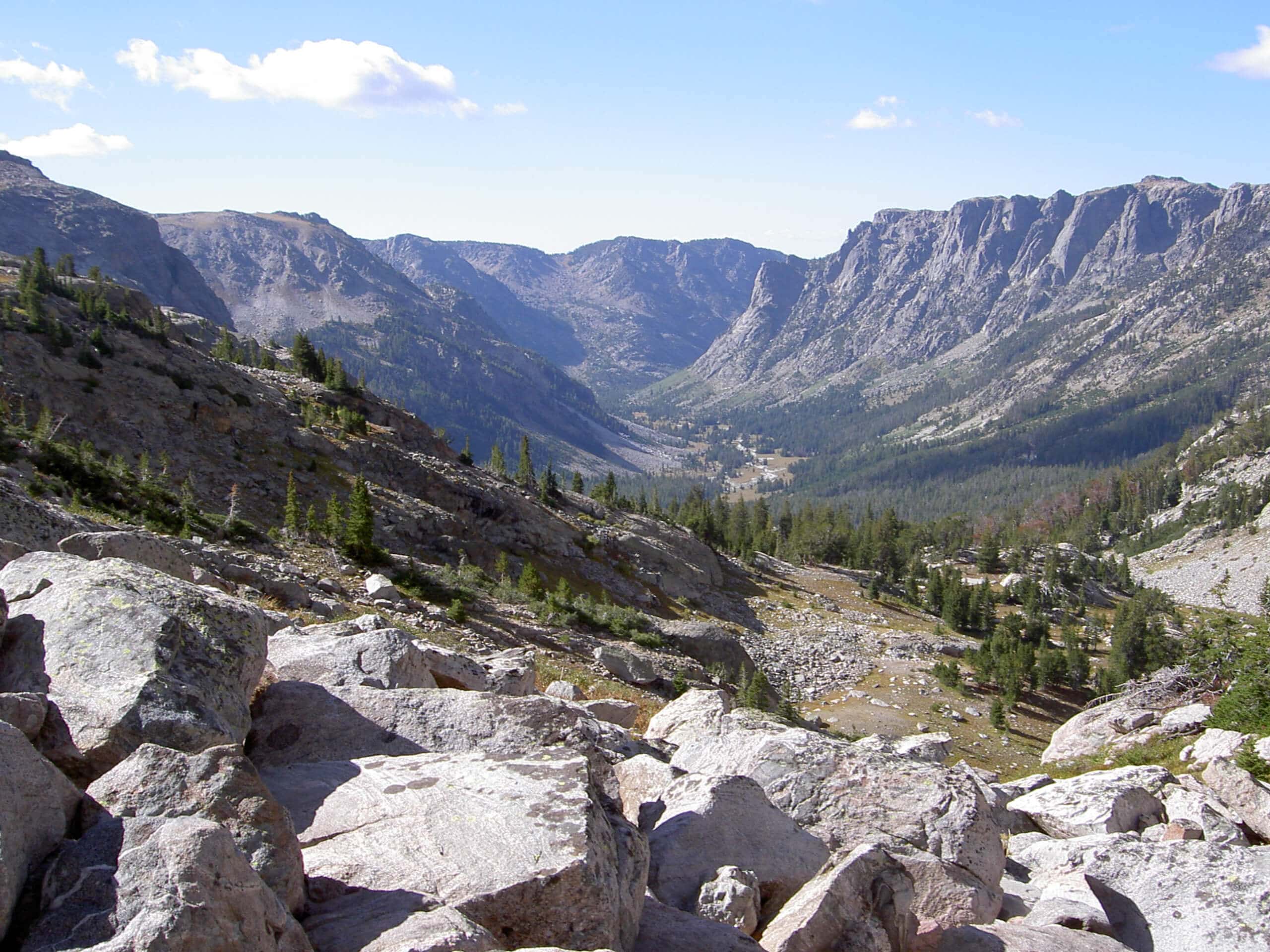
Doubletop Mountain Trail
Difficulty Rating:
The Doubletop Mountain Trail is a demanding adventure reserved for experienced hikers. While this route is usually completed as a leisurely backpacking expedition, it boasts an epic day-hike. Challenge yourself and indulge in the beauty of the Winds.
Getting there
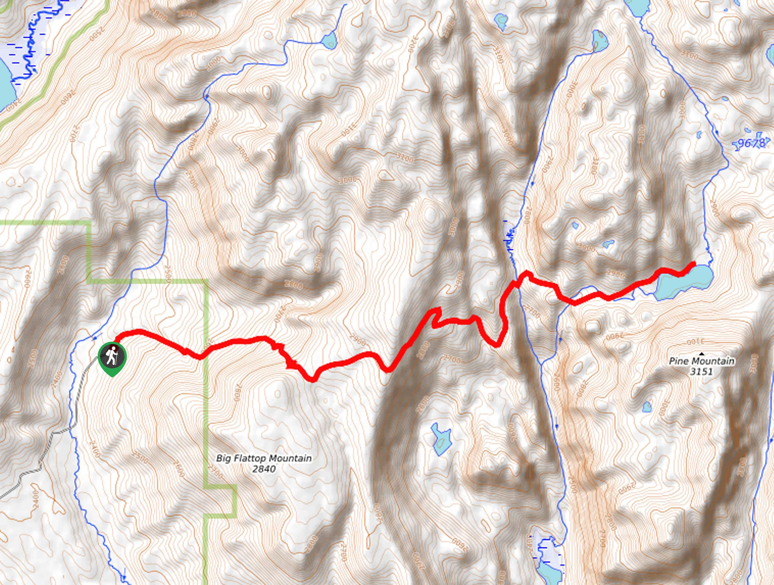
The Doubletop Mountain Trail departs from the New Fork Trailhead off New Fork Lake Road.

About
| Backcountry Campground | Backcountry Camping |
| When to do | May-October |
| Pets allowed | Yes - On Leash |
| Family friendly | No |
| Route Signage | Average |
| Crowd Levels | Moderate |
| Route Type | Out and back |
Doubletop Mountain Trail
Elevation Graph
Weather
Doubletop Mountain Trail Description
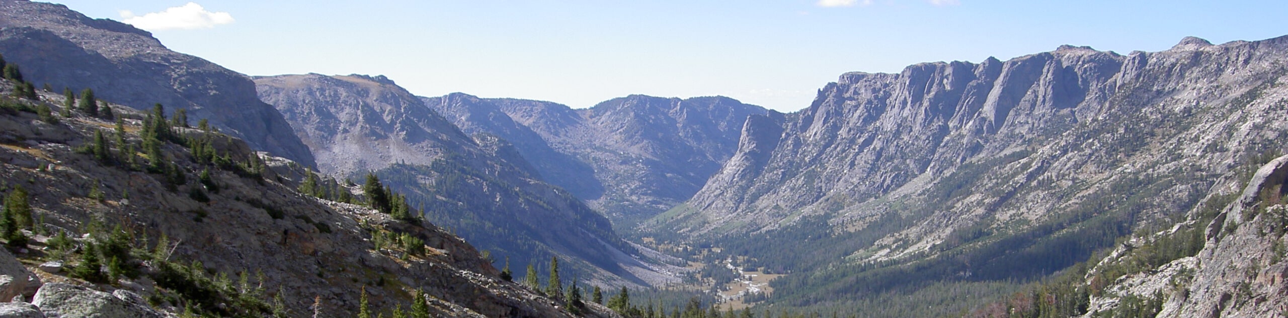
The Doubletop Mountain Trail warrants a heart-pumping climb, but the scenery is well worth the sweat. Ascending extreme elevations, this long hike will demand an all-day commitment, so make sure you head out in the early morning to make it back to the trailhead before nightfall. Dress in layers as insurance against changing conditions and be mindful of altitude storms. Additionally, as this route travels deep into the wilderness, it is important to be mindful of wildlife—including bears. Make sure at least one person in your party keeps a can of bear spray within reach.
With plenty of water in tow, begin your adventure to Doubletop Mountain from the New Fork Lake Trailhead. Setting out from here, you will be guided northeastward along the shoreline cliffs of New Fork Lake. On the east side of the lake, you will reach an intersection, veer right, and you will be diverted onto the Boulder Basin/ Lowline Trail. This path will intensely climb, demanding the navigation of several tightly wound switchbacks. After some climbing, you will encounter another junction; turn left onto the Doubletop Mountain Trail. This route will wander beside Willow Creek into the high country.
After passing Rainbow Lake, the terrain will become increasingly exposed and rocky, offering mesmerizing views of the Winds. Eventually, you will summit Doubletop Mountain—marvel at the panoramic mountain views and pat yourself on the back for your accomplishment. Rest, rehydrate, then retrace your steps back to the trailhead.
Similar hikes to the Doubletop Mountain Trail hike
Glacier Trail
The Glacier Trail is a demanding day hike in the Winds that boasts a scenic and secluded experience. Wander through…
Sweeney Creek Trail
The Sweeney Creek Trail can be enjoyed in a myriad of different ways. This epic expedition into the high country…
Section Corner Lake Trail
The Section Corner Lake Trail exemplifies the beauty and grandeur of the Wind River Mountain Range. Somewhat of a hidden…
Comments