Blue Lake Trail
View Photos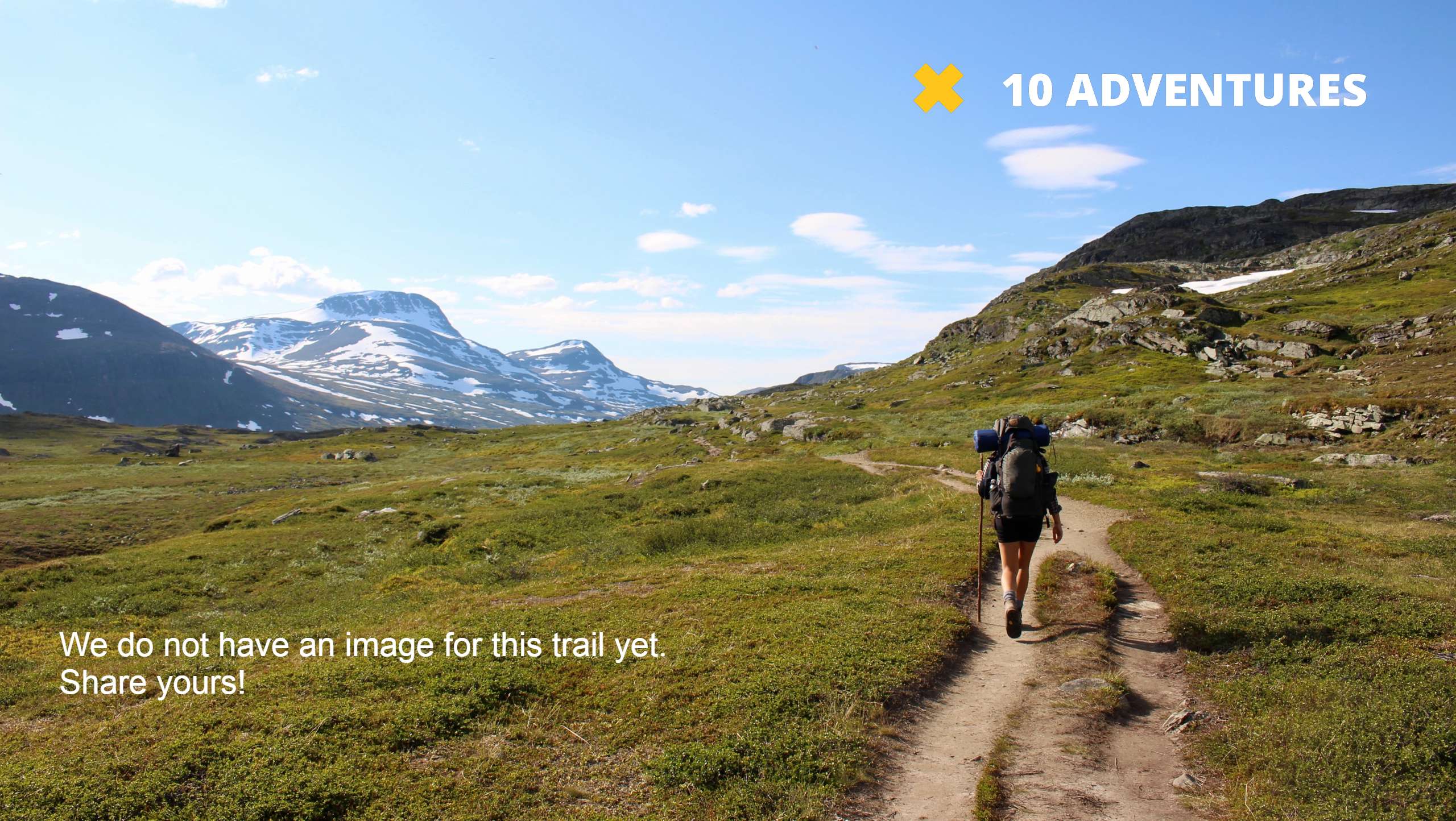
Blue Lake Trail
Difficulty Rating:
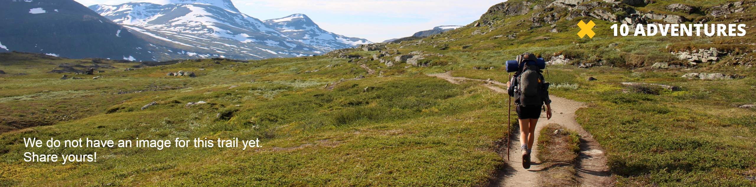
There is nothing quite like a hike that culminates at a crystalline lake—do you agree? The Blue Lake Trail is a lovely adventure in the Winds that diverts off the beaten path, boasting an impressively secluded and scenic experience.
Getting there
Access this hike via the Big Sandy Trailhead off Big Sandy Opening Road.

About
| Backcountry Campground | Backcountry Camping |
| When to do | May-October |
| Pets allowed | Yes - On Leash |
| Family friendly | Older Children only |
| Route Signage | Average |
| Crowd Levels | High |
| Route Type | Out and back |
Blue Lake Trail
Elevation Graph
Weather
Blue Lake Trail Description
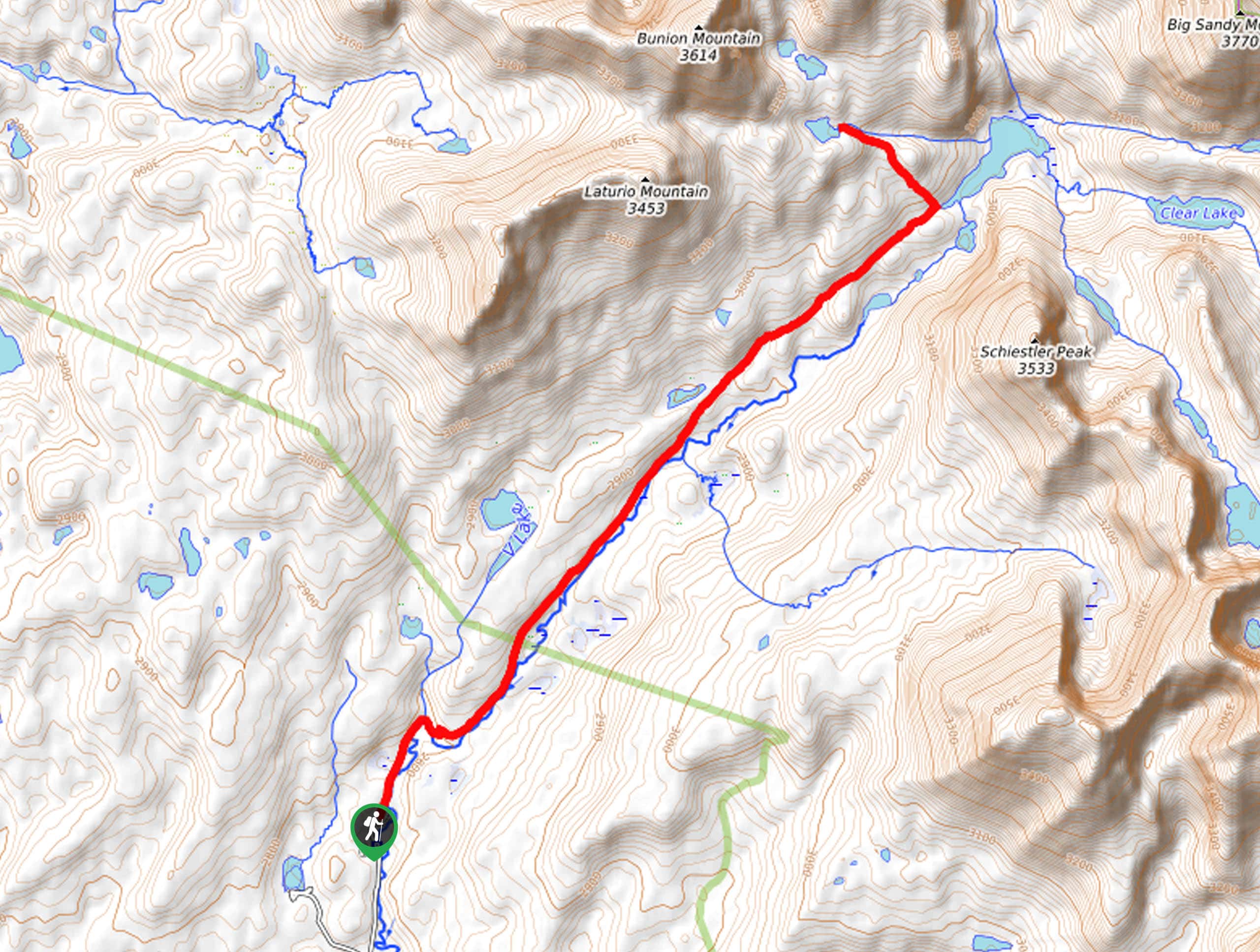
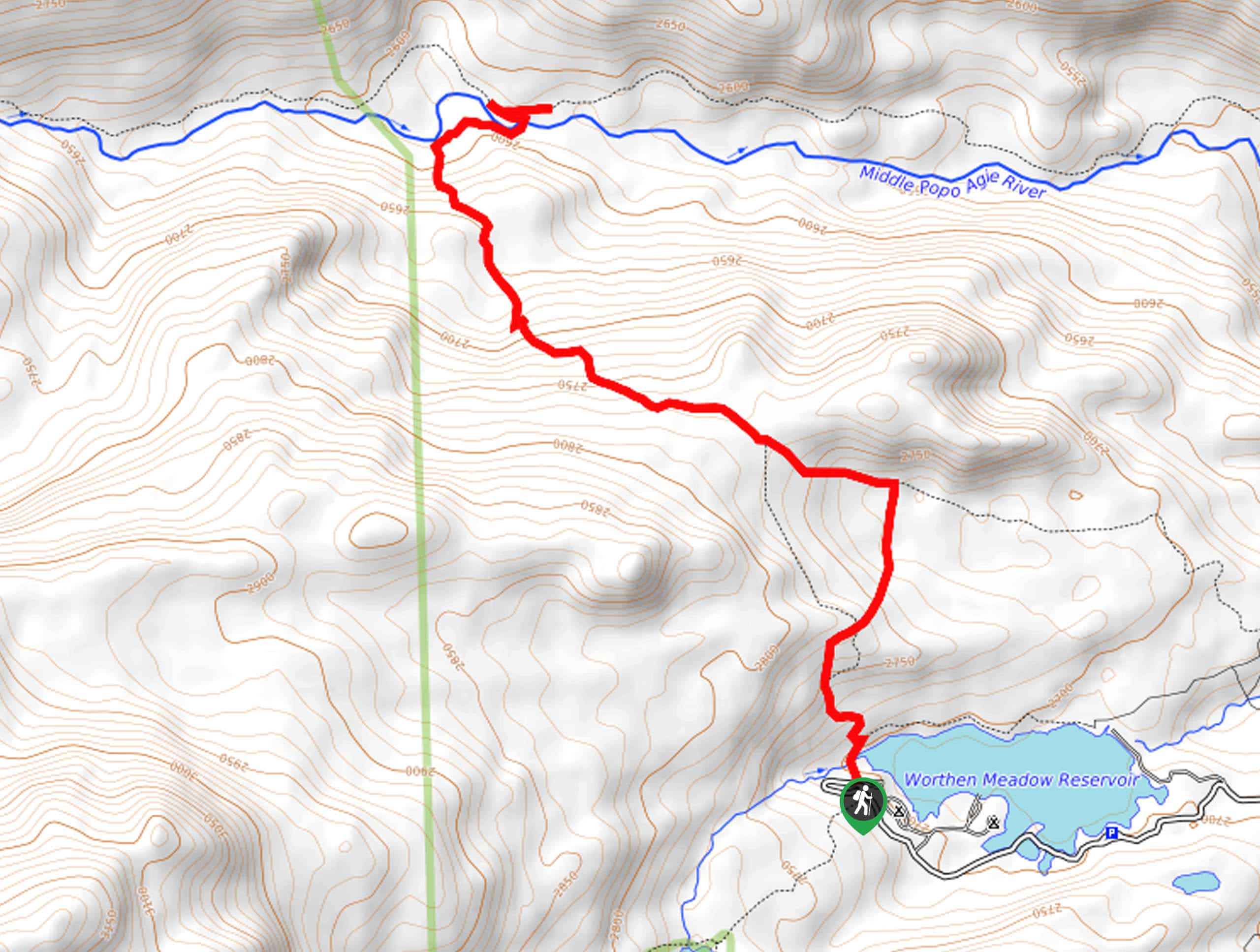
The Blue Lake Hike is one of our favorite adventures in the Wind River Range. Following a busy trail for the first few miles, this epic excursion heads off-trail up to an isolated lake nestled amongst the granite crests. Note the trailhead and the Big Sandy Trail are extremely busy, so expect to share the trail and compete for a parking spot. As this hike eventually goes off-trail, we encourage the use of the trail GPS to easily located the lake. Additionally, as with all sorts of exploration in the area, make sure at least one person carries bear spray.
Embark on your alpine adventure from the Big Sandy Trailhead. From here, you will follow the Fremont Trail along the Big Sandy River. Soon after your departure, you will reach an intersection and veer right here onto the Big Sandy Trail. This popular route will wind between shaded tree stands and exposed meadowlands. As you progress further into the wilderness, dumbfounding views of the crags will unfold before you. After some hiking, you will ultimately reach the southern shoreline of Big Sandy Lake. Here, veer left and begin your climb off-route.
Using the trail GPS, you will be guided northwestwardly up the mountainside to Blue Lake. Take in the mesmerizing panoramas of the granite mountain range from here. Enjoy the charm of the small alpine pool, then head back the way you came back to the trailhead.
Similar hikes to the Blue Lake Trail hike
Glacier Trail
The Glacier Trail is a demanding day hike in the Winds that boasts a scenic and secluded experience. Wander through…
Upper Brewers Trail
The charm of a one-way trek is unrivaled. Enjoy new scenery every step of the way as you hike the…
Sheep Bridge Trail
The Sheep Bridge Trail checks all the boxes—short, scenic, and secluded. What more could you ask for? Mountain views? It…
Comments