
Flood and Hindle Trail
View Photos
Flood and Hindle Trail
Difficulty Rating:
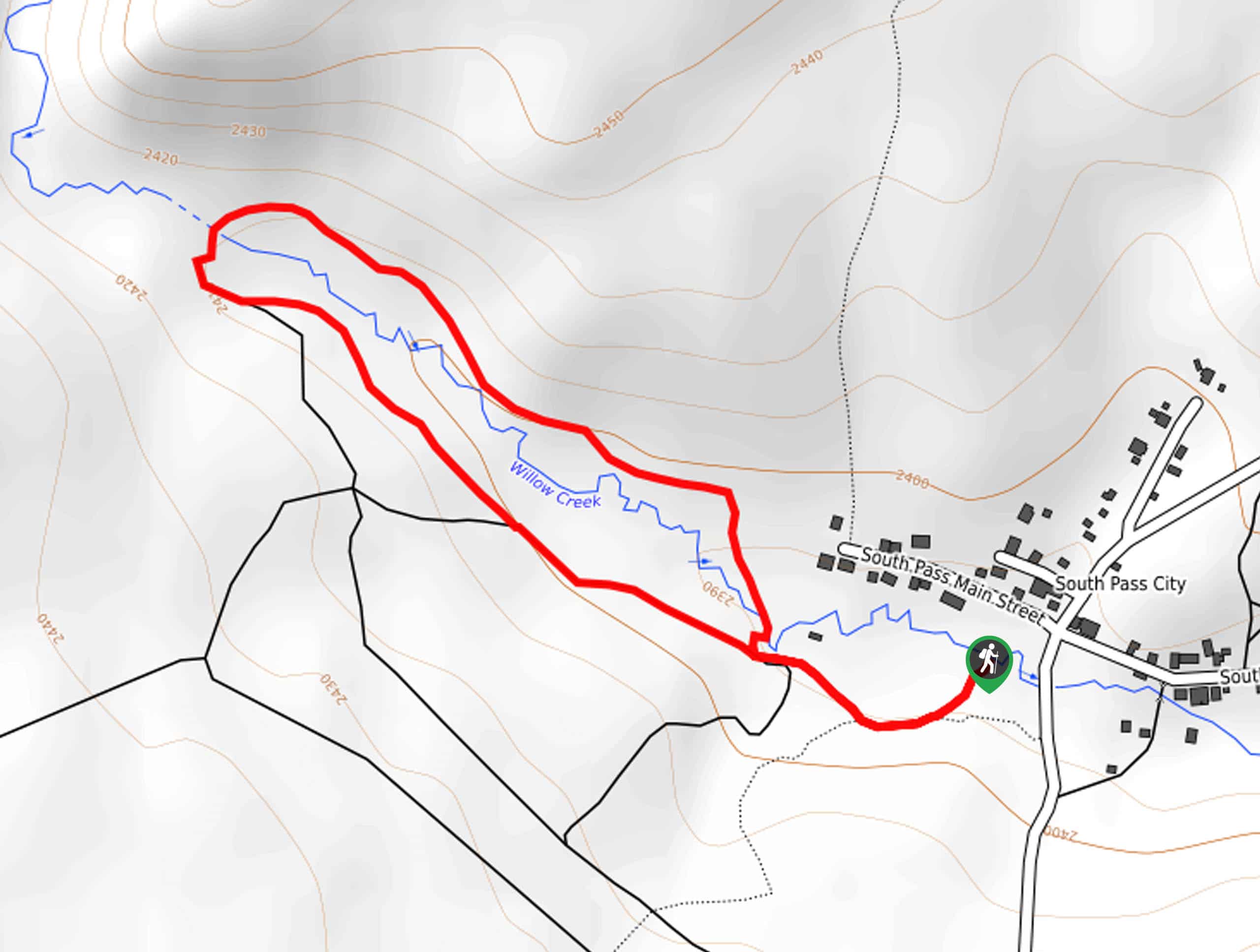
A magnet for history buffs, the Flood and Hindle Trail is a lovely footpath that explores South Pass City, uncovering the area’s mining history. Easy-going, scenic, and lined with interpretive signs, this family-friendly trail would make a great addition to your hiking itinerary.
Getting there
Access this hike via the trailhead off South Pass City Road.

About
| Backcountry Campground | No |
| When to do | May-October |
| Pets allowed | Yes - On Leash |
| Family friendly | Yes |
| Route Signage | Poor |
| Crowd Levels | Low |
| Route Type | Lollipop |
Flood and Hindle Trail
Elevation Graph
Weather
Flood and Hindle Trail Description
Those seeking a low-altitude, easy-going adventure near the Winds are encouraged to check out this gem! The Flood and Hindle Trail offers a unique experience—explore an old mining city with historic homesteads and buildings and learn all about the history. Note that this path is entirely exposed to the elements and progresses through desert-like terrain, so wear SPF and be mindful of sunbathing snakes. Download the trail GPS, the network of paths is poorly marked.
Travel back in time along this scenic expedition. Setting out from the trailhead off South Pass City Road, the path will lead you northwest along the path bound with sagebrush and juniper. Using the trail GPS, you will continue northwestwardly, walking along the boundary of a lush tree stand. Admire the scenes of the encompassing landscape as you wander, and soon the path will pass a collection of historic buildings and instruments before diverting you southeast, over Willow Creek.
This section of the path will grant you more impressive views of South Pass City in the east. Continue hiking along the tree line, and you will ultimately cross back over Willow Creek. From here, simply retrace your steps back to the trailhead.
Similar hikes to the Flood and Hindle Trail hike
Upper Brewers Trail
The charm of a one-way trek is unrivaled. Enjoy new scenery every step of the way as you hike the…
Dubois Recreation Area Scenic Overlook Hike
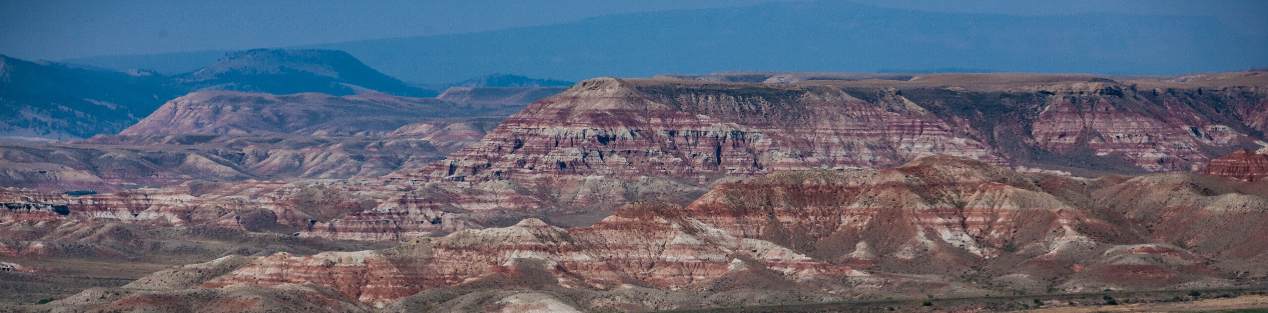
The Dubois Recreation Area Scenic Overlook Hike is an epic adventure that explores the painted hills. Located just outside the…
Downtown Dubois Walk
While not technically a hiking route, the Downtown Dubois Walk is a great adventure. Many people visiting the Winds or…
Comments