Rainbow-Sproatt-Flank Trail
View Photos
Rainbow-Sproatt-Flank Trail
Difficulty Rating:
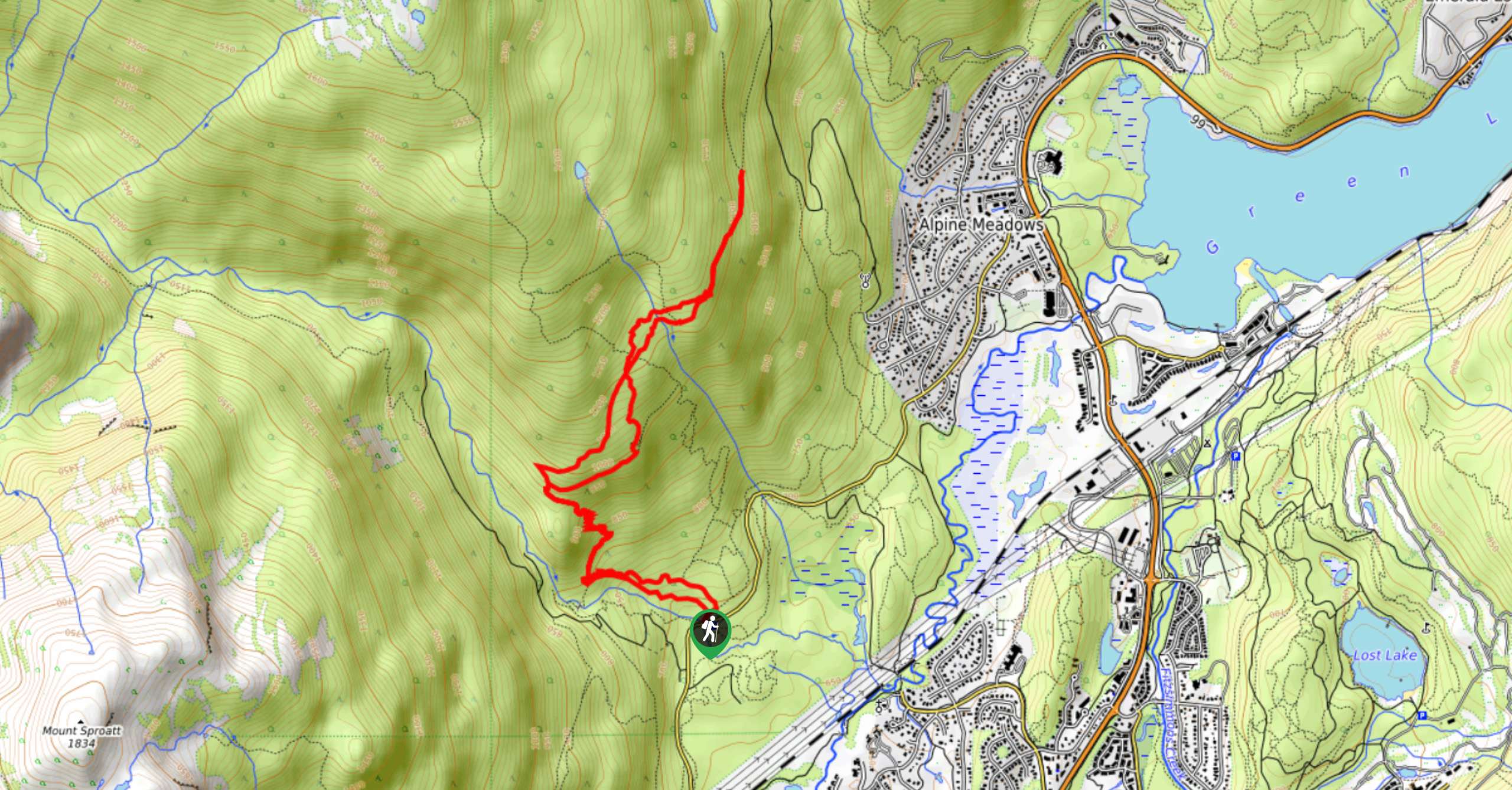
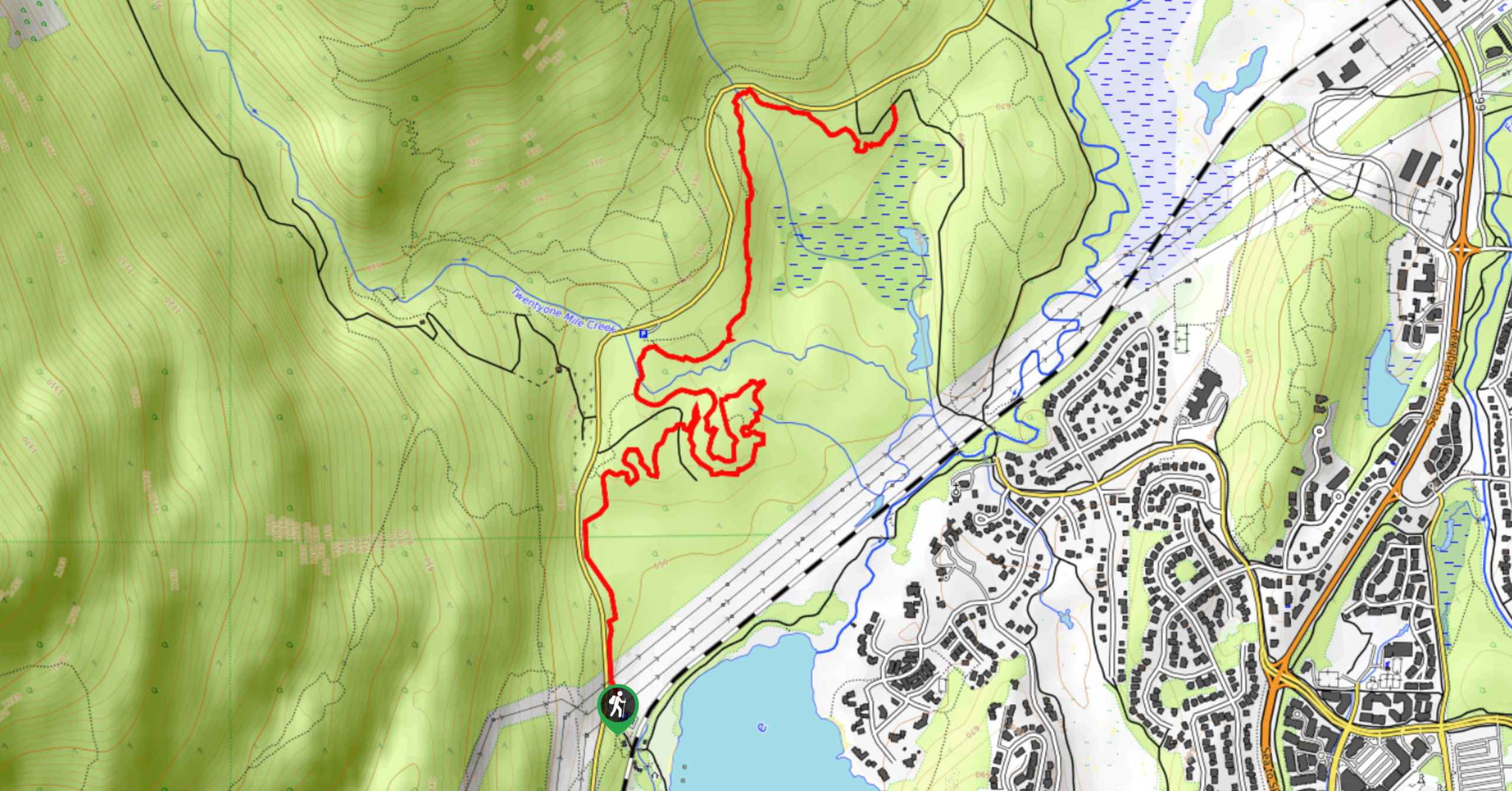
The Rainbow-Sproatt-Flank Trail is a 4.9mi route northwest of Whistler that travels alongside Twenty-One Mile Creek and visits the peaceful cascading waters of Rainbow Falls. From here, hikers will head north along a path through the dense tree cover before arriving at a scenic vantage point overlooking Alta Lake. This route has a bit of an incline, so be prepared to earn the amazing views by working up a sweat while out on the trail.
Getting there
To get to the parking area for the Rainbow-Sproatt-Flank Trail from Whistler, head north on BC-99 N and make a left onto Alpine Way. After 623ft, turn left onto Rainbow Drive and follow it for 0.7mi, where it veers slightly to the left and becomes Alta Lake Road. Stay on this for another 1.2mi to find the parking area on the right.

About
| When to do | April-October |
| Backcountry Campsites | No |
| Pets allowed | Yes - On Leash |
| Family friendly | Older Children only |
| Route Signage | Average |
| Crowd Levels | Moderate |
| Route Type | Circuit |
Rainbow-Sproatt-Flank Trail
Elevation Graph
Weather
Rainbow-Sproatt-Flank Trail Description
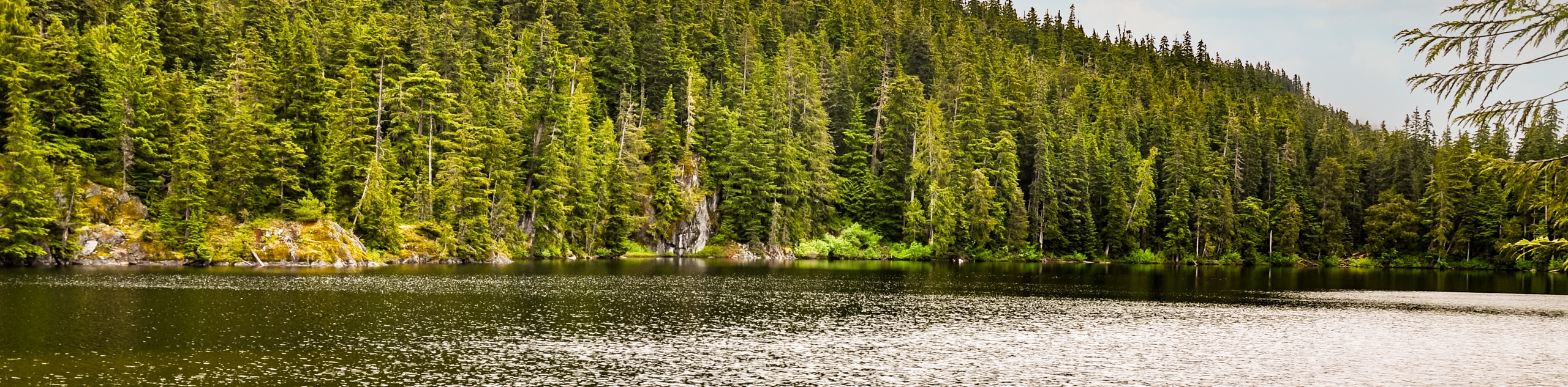
The Rainbow-Sproatt-Flank Trail is a 4.9mi loop trail on the edge of Whistler that travels uphill through the dense forest to reveal some amazing views overlooking Alta Lake and the surrounding mountains. Bears are known to frequent this location, so make sure to check for any closures and bring bear spray when using the trail. Largely forested, the trail passes by the cascading waters of Rainbow Falls before climbing steadily uphill. The views really open up about 1969ft from the trail’s end to give you an awesome sightline over the valley. The great scenery and beautiful wildlife along this trail make it perfect for a weekend getaway into the wilderness, while staying close to Whistler.
Similar hikes to the Rainbow-Sproatt-Flank Trail hike
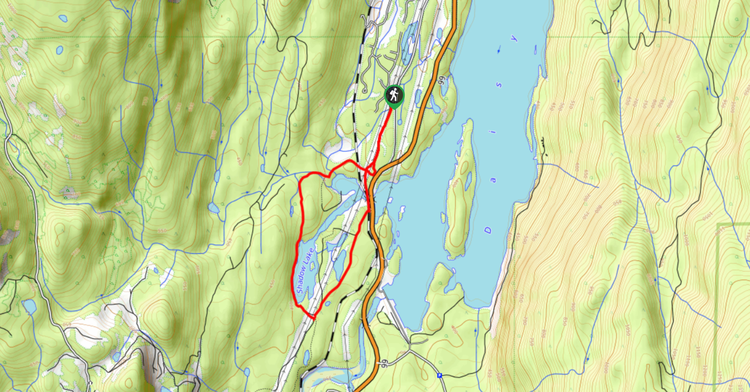
Shadow Lake Loop
Travel along the Shadow Lake Loop for a quick and easy hiking route just off the Sea to Sky Highway,…
Jane Lakes Trail
The Jane Lakes Trail is a lightly trafficked 6.2mi out-and-back hiking route through the Whistler Interpretive forest that…
A River Runs Through It Trail
The A River Runs Through It Trail is a 5.6mi out-and-back hiking route in Whistler that features scenic…
Comments