Rainbow Falls Loop
View Photos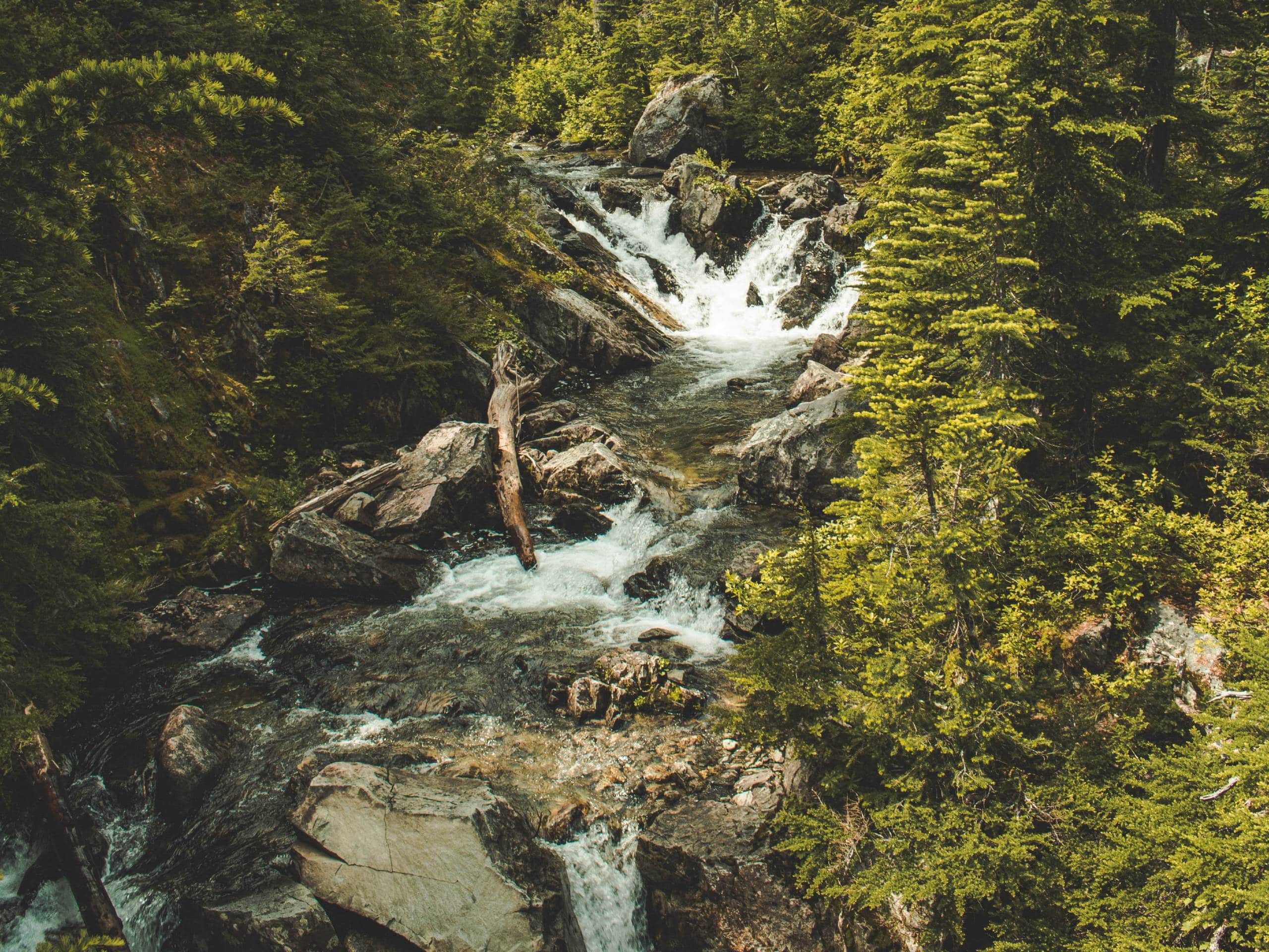
Rainbow Falls Loop
Difficulty Rating:
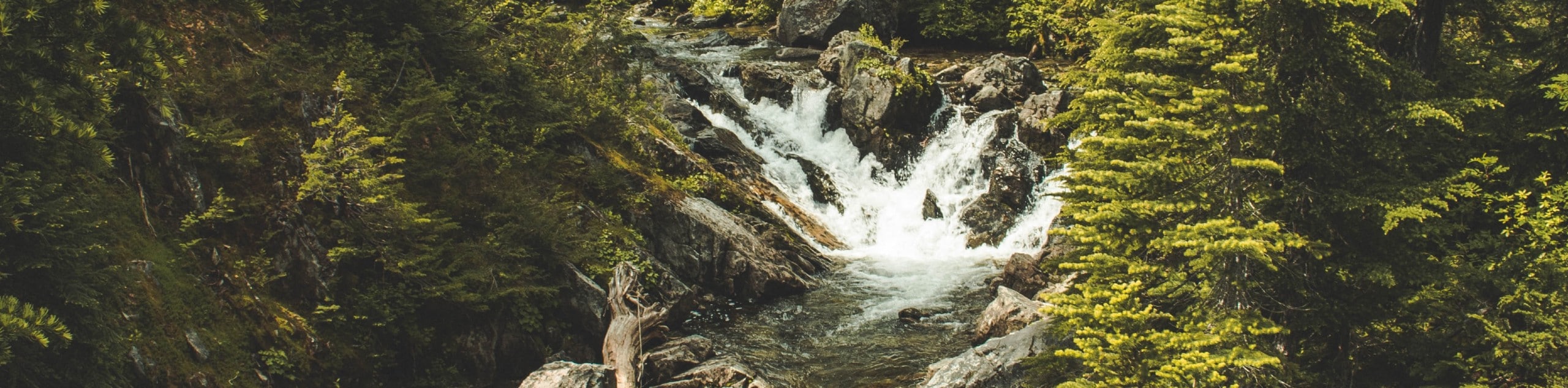
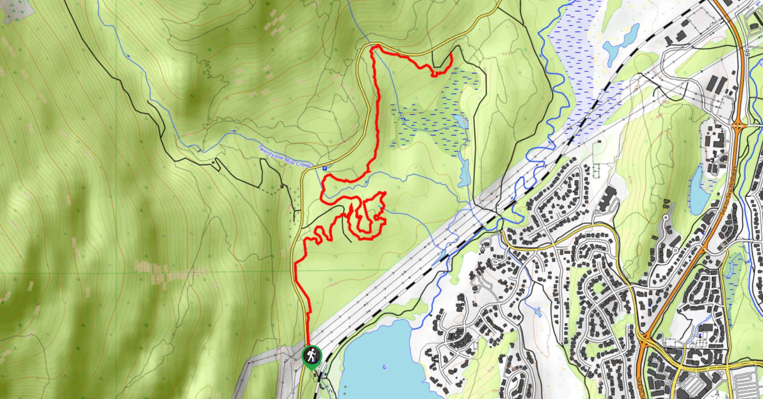
The Rainbow Falls Loop is a short 1.3mi route near Whistler that skirts along the banks of Twentyone Mile Creek and offers views of the beautiful Rainbow Falls. Although the trail only has a minor elevation gain of 407ft, this occurs in a very short stretch, making parts of the route a bit more physically demanding. Overall, this short and scenic route is one that is sure to be enjoyed by hikers of all skill levels.
Getting there
To reach the Rainbow Falls trailhead from Whistler, drive north on BC-99 N and turn left onto Alpine Way. After 623ft, make another left onto Rainbow Drive. In 0.7mi, Rainbow Drive veers to the left and becomes Alta Lake Road. Follow this for 1.2mi, where you will find the parking area on the right.

About
| When to do | May-November |
| Backcountry Campsites | No |
| Pets allowed | Yes |
| Family friendly | Older Children only |
| Route Signage | Average |
| Crowd Levels | Low |
| Route Type | Circuit |
Rainbow Falls Loop
Elevation Graph
Weather
Rainbow Falls Loop Trail Description
While the Rainbow Falls Loop is a quick hike, it packs all of its elevation gain into a fairly short distance, making the route a bit difficult in places. Additionally, the proximity to the creek means that sections of the trail can become quite muddy in wet weather. Make sure to wear proper hiking footwear to ensure you have the best footing along the trail. Hikers should also note that grizzly bears have been frequently spotted in the area around this trail. As when using any BC trails, bring bear spray to avoid any close encounters.
Setting out from the parking lot, follow the trail to the left to begin your climb uphill towards Rainbow Falls. After approximately 2461ft, you will reach the area around the falls, where you can find some views of the water cascading down the beautiful rock formations. To the right, you will find a trail that branches off toward the creek. Follow this route to cross over Twentyone Mile Creek and continue along its northern bank. This section of the trail is also used as a mountain biking route, so be aware of your surroundings as you make your way along the path. Continuing around the Rainbow Falls Loop, you will eventually arrive back at the starting position of your hike next to the carpark.
Similar hikes to the Rainbow Falls Loop hike
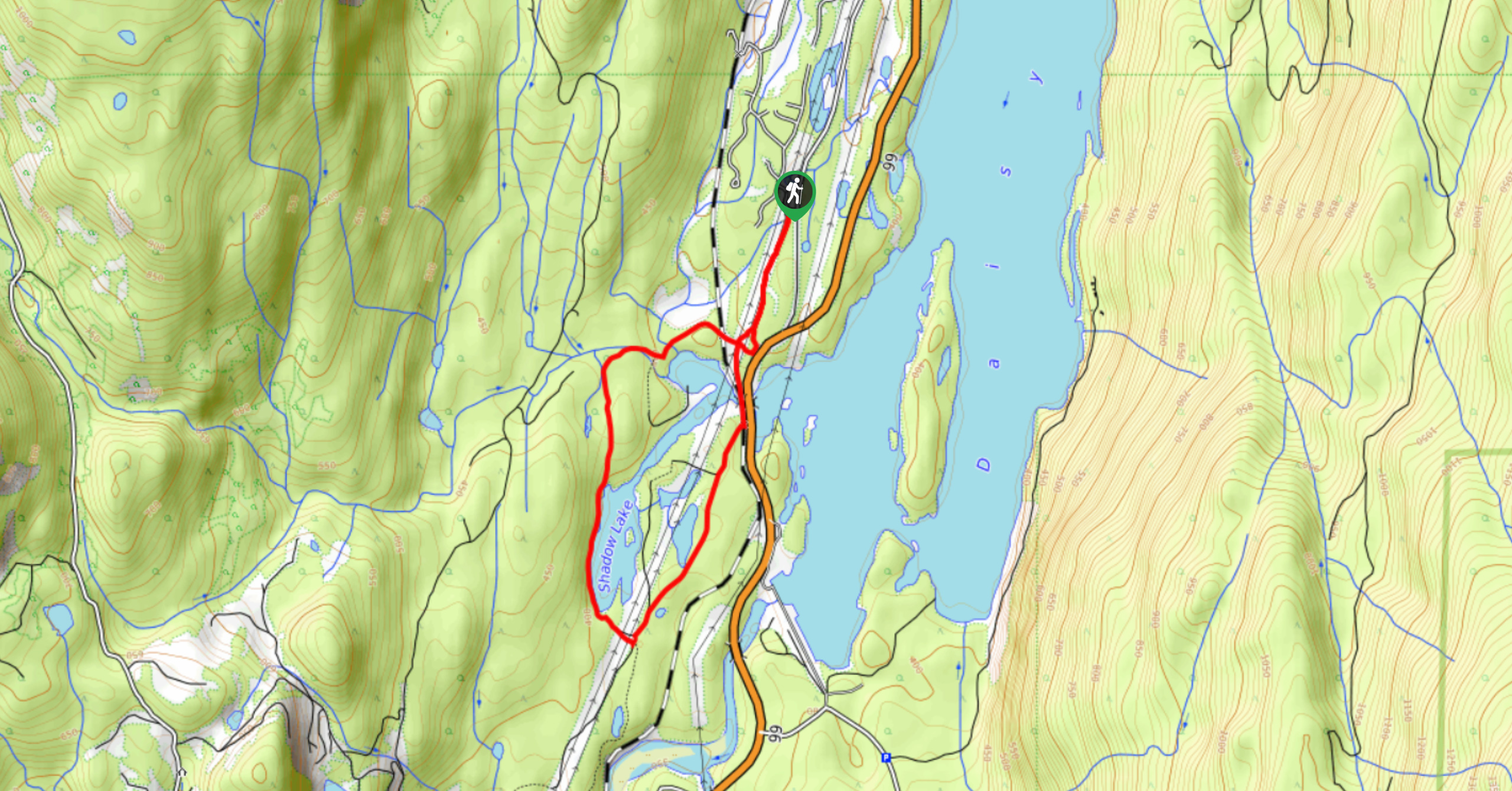
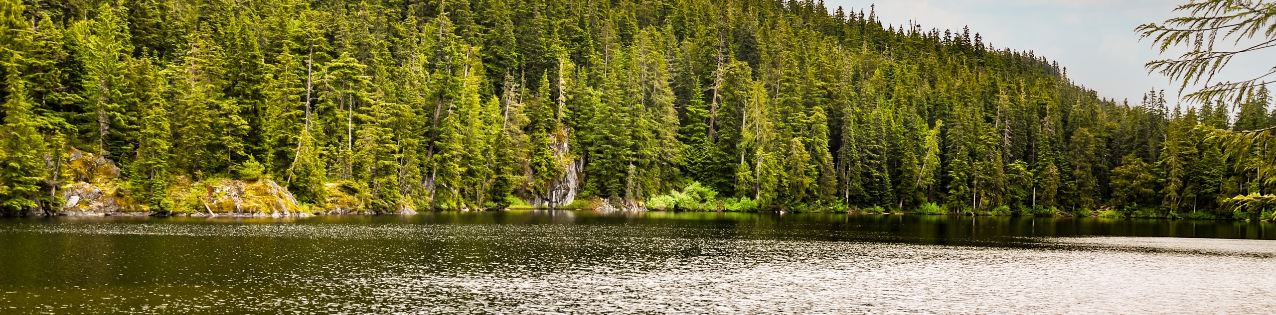
Shadow Lake Loop
Travel along the Shadow Lake Loop for a quick and easy hiking route just off the Sea to Sky Highway,…
Jane Lakes Trail
The Jane Lakes Trail is a lightly trafficked 6.2mi out-and-back hiking route through the Whistler Interpretive forest that…
A River Runs Through It Trail
The A River Runs Through It Trail is a 5.6mi out-and-back hiking route in Whistler that features scenic…
Comments